Wolverton Trailhead to Moose Lake
(10 miles, +3,900/-500 feet).
Ever since I hiked the Watchtower Trail to Heather Lake with ZoZoZoom I have wanted to do a cross-country trip in the Tablelands. They looked so beautiful from a distance, with their gentle granite slopes above the tree line.
And what better time to go? I just had an extremely traumatic solo hike over Forester Pass that made me think I would give away my ice axe to the first taker. So in the spirit of getting back on the horse, I replaced my microspikes with crampons and headed back into this year’s record-setting snow pack.
But this time I brought a friend (thanks MixMaster!). And I discovered how nice it is to share all this beauty and to have someone to rely on when I am tired and anxious and exhausted. Maybe I’m okay with snow travel after all….
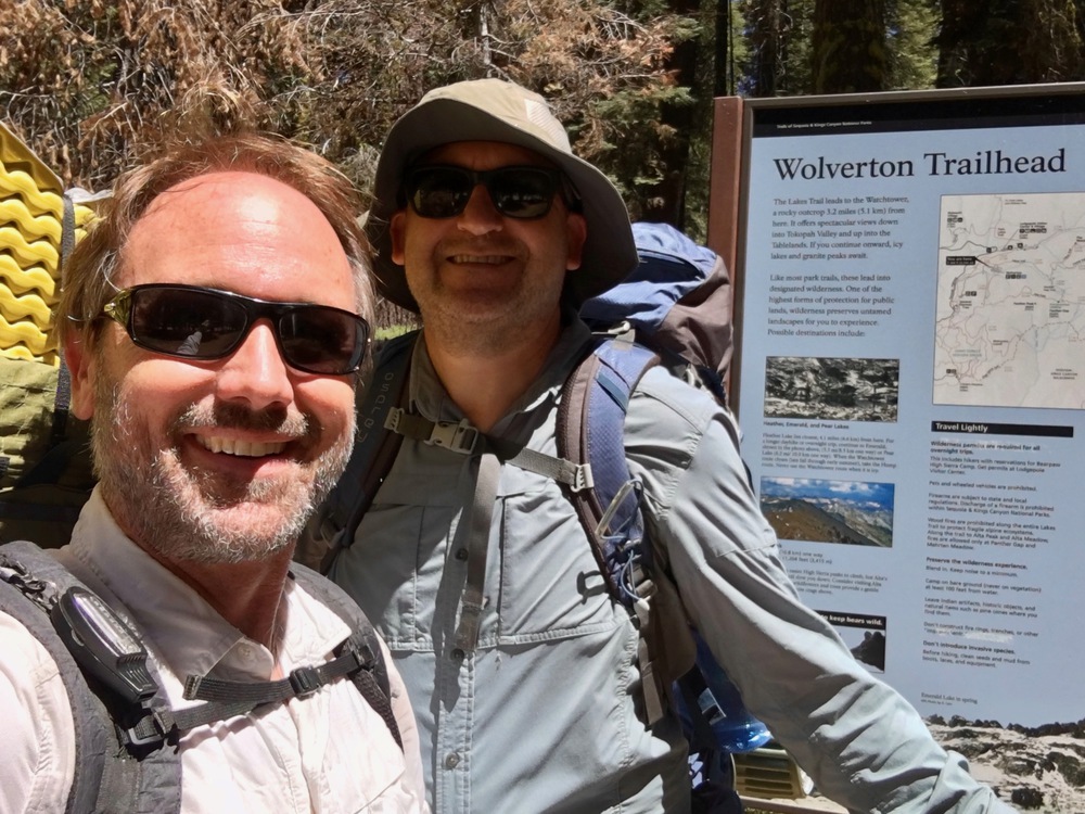
We started our day at 4am with a long drive up from San Diego to Lodgepole Visitor Center in Sequoia National Park. By 11am we were chatting with the Wilderness Permit Ranger, telling him about our plans to go to Moose Lake and then the Tablelands. When we were done, I asked him where his favorite part of the park was and he said “Moose Lake!” He pulled his sleeve up and showed us a tattoo on his arm of the Kings-Kaweah Divide. This guy seriously loves the place where we are headed.
Great!
By 11:30am we were at Wolverton Trailhead and ready to hit the trail. Surprisingly it was bug free (but we packed our deet and headnets just in case).
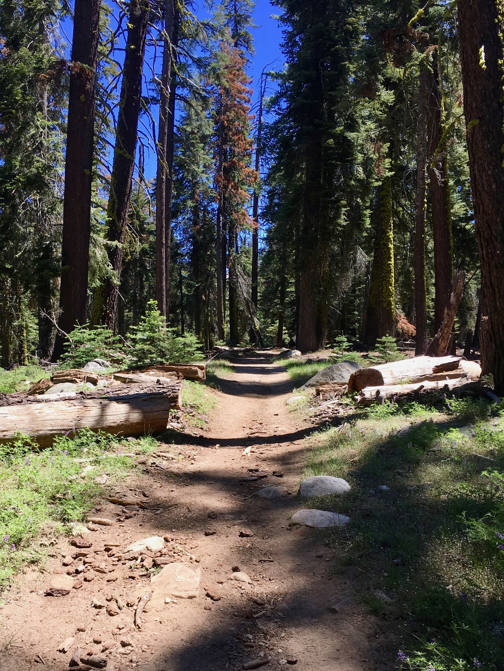
Our plan was to follow the trail to Alta Meadow until it headed downhill and then proceed cross-country up to Moose Lake. We weren’t quite sure where we would hit snow, so it was a nice surprise to find much of the trail dry.

We started hitting snow patches around 8500 feet as we approached Panther Gap.

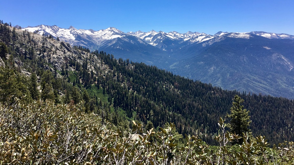
And the view at Panther Gap did not disappoint!
We slowly traversed up the south-facing ridge above the Middle Fork Kaweah and started hitting more significant snow patches at Mehrten Meadow around 9000 feet.


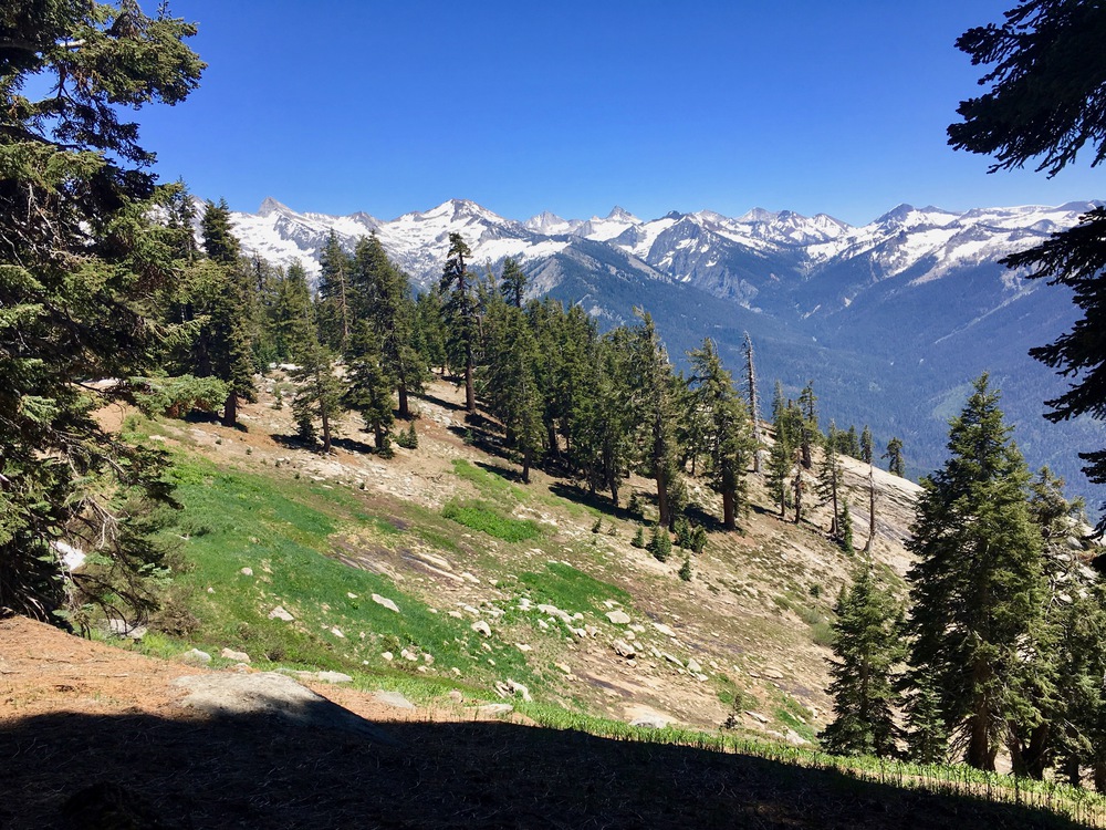
At the junction for the Alta Peak trail we got our first view up towards Tharps Rock.

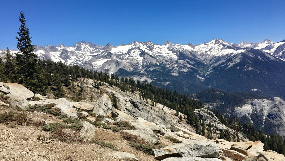
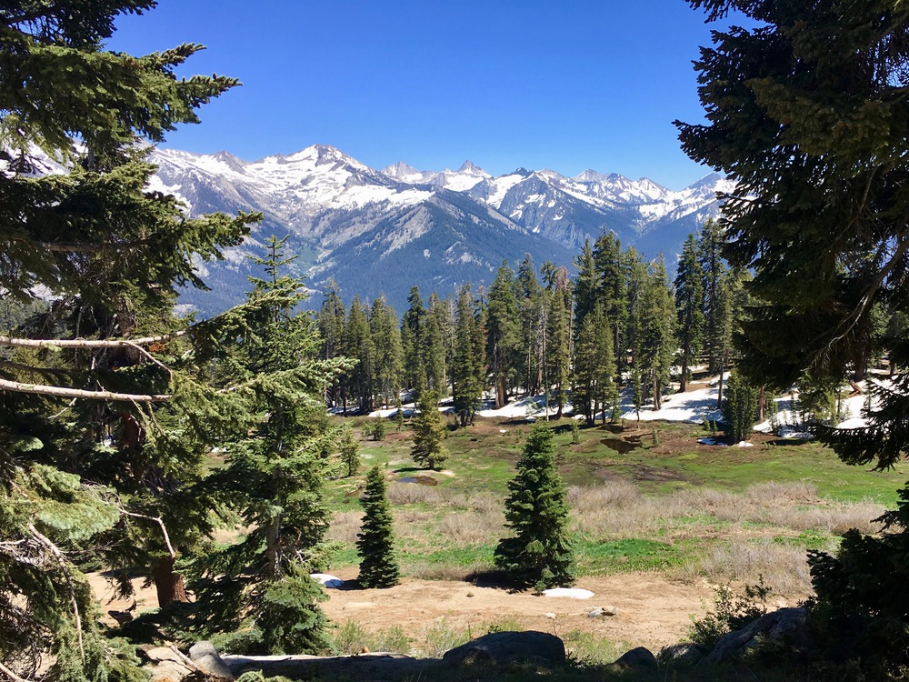
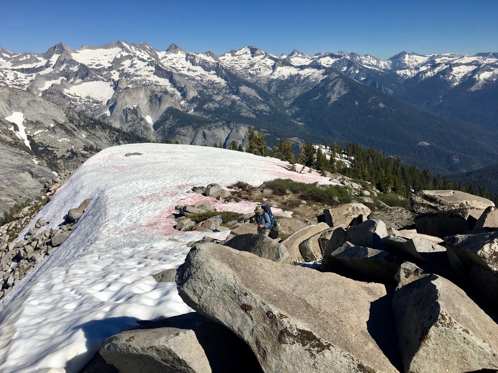
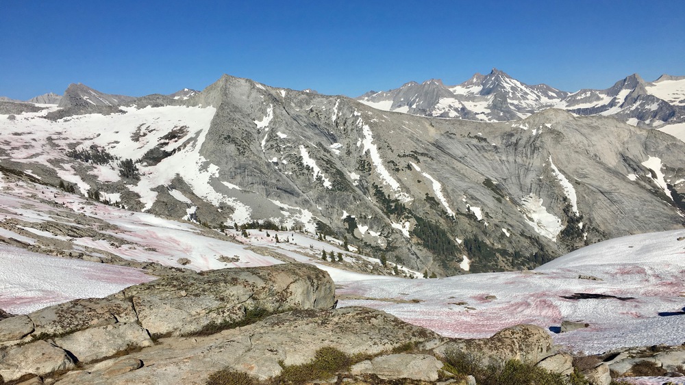
We then continued on towards Alta Meadow, marveling at the Great Western Divide as it came more and more in view.
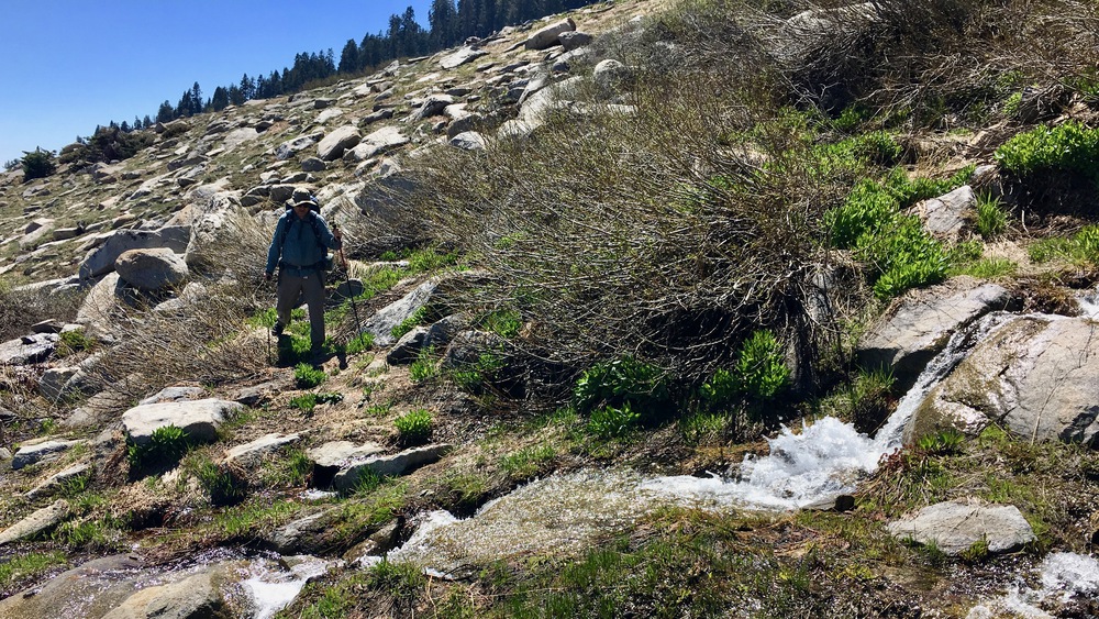
We got our first view of Alta Meadow and decided to leave the trail to keep our elevation. Most people head down to the meadow and then search for an unmaintained trail shown on old USGS maps that goes up to Moose Lake. But at about 9000 feet there was still significant snow in the shade so we thought it would be better to deal with cross country travel above the tree line than snow travel below it. Plus we would save about 400 feet of elevation gain.


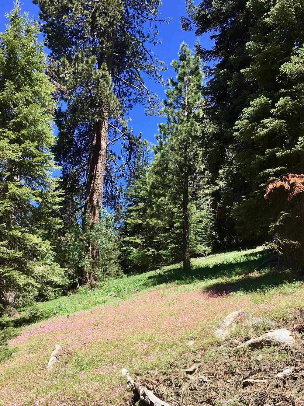
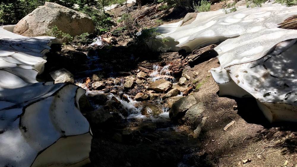
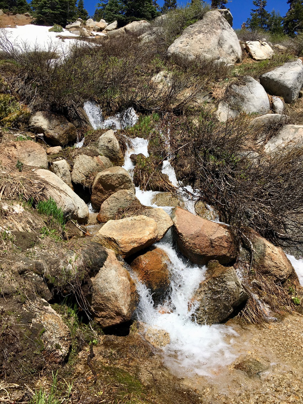
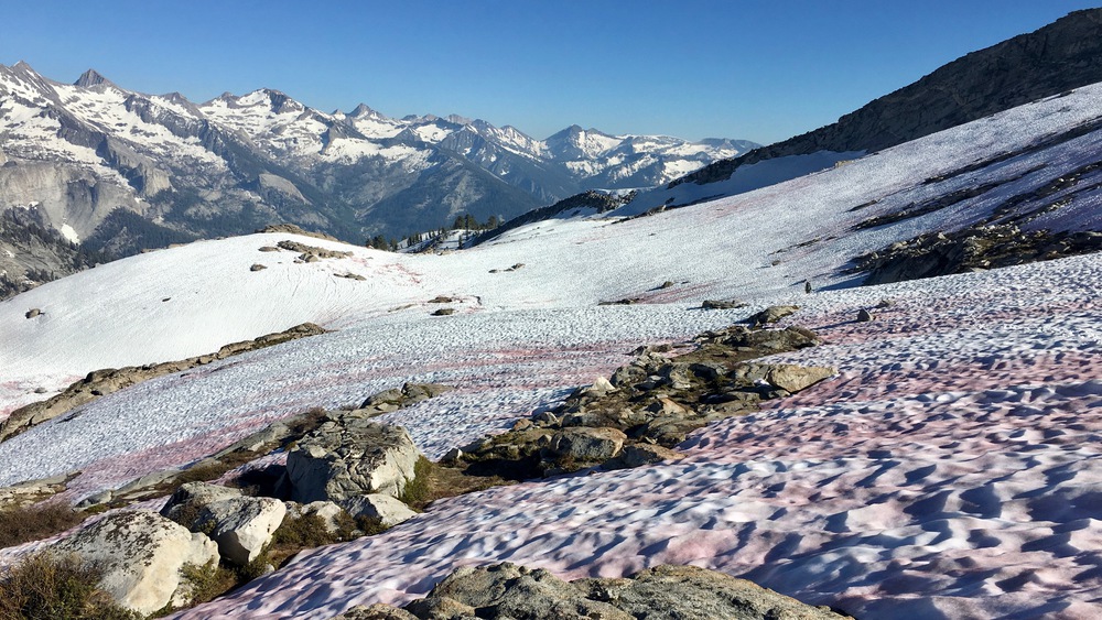
The traverse was pretty easy above Alta Meadow with lots of flowing streams and the occasional snow patch to cross.

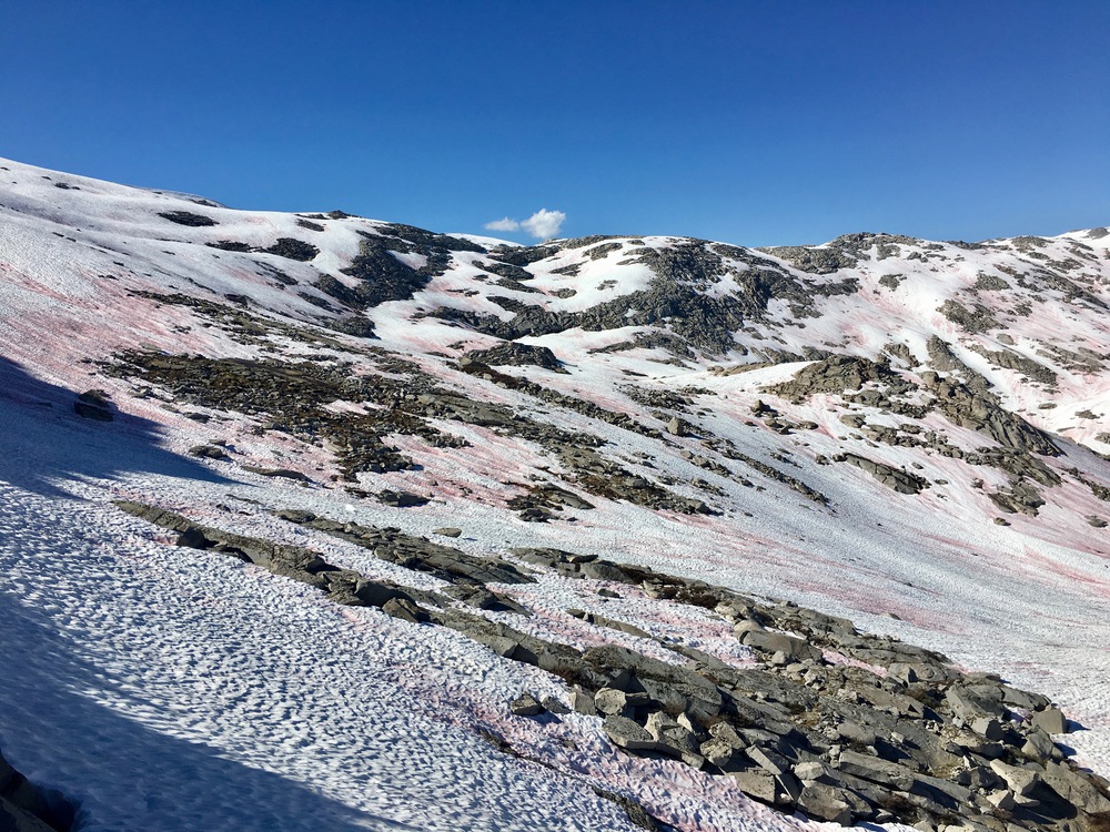
The most amazing thing about taking this higher route above the tree line was a granite field that we had to cross at about 9800 feet. There were some sketchy water crossings on steep slick rock, but we found ways to (mostly) stay on dry patches to maintain the integrity of our friction traverse.


After the granite field we traversed up to about 10,400 feet onto a ridge that would give us our first view of the drainage below Moose Lake. The traverse was really tough and steep, in part because I think we climbed too high.
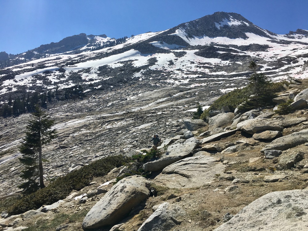

We actually hit the ridge about 300 feet higher than people normally hit it, and it is steep on the east side here. So we climbed up some boulders for about 200 feet until we could find a way down the east side that leveled out enough that we could get onto the snow with our crampons.


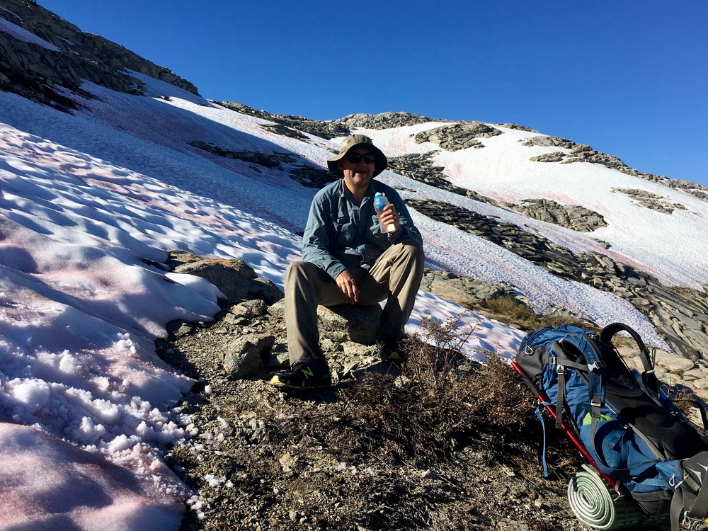
The snow was slushy at 5pm and the traverse was only moderately sloped. However, this was the first time either of us had used crampons before and so traversing made us just a little nervous. We made our way from one rock outcrop to another where we could take breaks.

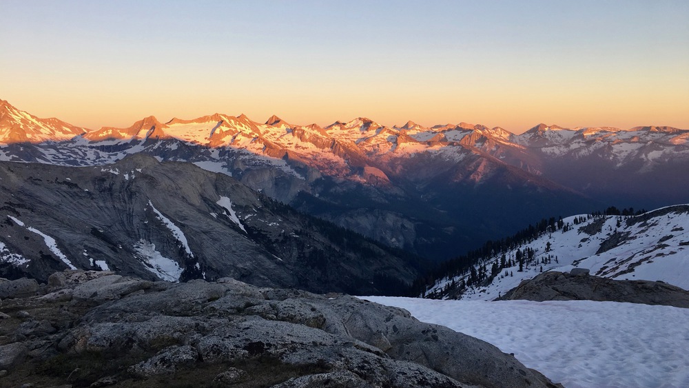
When we finally made it to the rim, the sun was setting and it was spectacular.
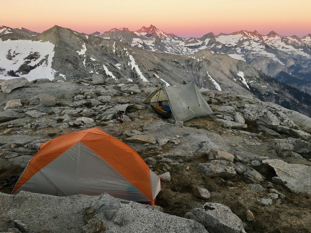
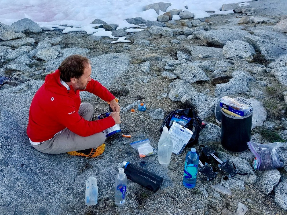
We found a dry place at a high point on the rim at about 10,600 feet to set up our tents and cook dinner (for the first time ever I brought my stove — I could get used to this!).

I took some pictures of the lake, but the light was not great so I’ll have to wait for tomorrow to get some better ones.


Whoops, posted this in Tablelands. I think that pink flowering plant in Moose Lake is a One Seeded Pussypaws (possibly Calyptridium Monospermum).
Off to read both now.
LikeLiked by 1 person
Thanks! I added the name to the caption.
LikeLiked by 1 person
I enjoyed these photos so much! Thrilling angles across the granite slabs and flowing waters. What a magnificent hike and camping spot! I’ve never seen so much watermelon snow (pink algae). You look exceptionally happy and in your element! It’s really somethin’ else!
LikeLiked by 1 person
Excellent photos of your route from Alta Meadows to Moose Lake. Were your posting dates your actual dates of the hike (i.e. Trailhead to Moose on June 27?). Did you run into anyone who was going up or down Alta Peak? I’m heading up to Alta Meadows and Moose tomorrow.
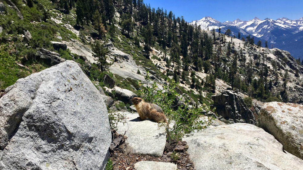
Marmot
LikeLiked by 1 person
Yes those are dates of actual travel. We did run into one group that went up to 9200 feet on the Alta Peak trail but they did not have crampons/axe and decided not to attempt it.
LikeLike
Thanks again! Very helpful visual information and commentary.
Marmot
LikeLiked by 1 person