Momyer Creek Trailhead to San Gorgonio Mountain
(12.5 miles, +6,000/-0 feet).
The San Gorgonio Wilderness is probably the closest thing we have in Southern California to the Sierra. The high point of the wilderness at 11,503 feet above sea level is also the highest point in California south of the Sierras, so it makes sense that there would be some similarities.
I’ve climbed San Gorgonio Mountain before, but I love it so much that I am always happy to return, especially when I can share it with a friend!
MixMaster and I left San Diego about 5am and were on the Momyer Trail by 7:30am.

We were immediately rewarded for the steep initial climb with fields of lupines bursting with purple.


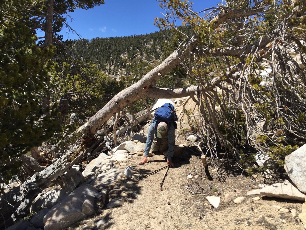
The trail goes up, up, up past Plummer Meadows and through chaparral that gradually changes over to dry evergreen forests that resemble those we have seen in the Sierra.


By noon we made it to Plummer Crossing at 9,000 feet where we refilled our water bottles and took a nice long break.

After lunch we started encountering patches of snow on the trail as it switchbacked up a north-facing slope, but we didn’t need our microspikes (yet). At Dollar Lake Saddle we took another nice long break to catch our breath.


One sad difference between this trip and my last is that much of the Wilderness is still closed due to the Lake Fire. That fire burned 30,000 acres north of the saddle, affecting trails I hiked just last year, one with my friend Chris, and one with my friend Jay S. Although I know fires are part of the natural cycle of the forest, it’s hard not to feel loss, especially since the fire was much larger and much more intense than it would have been because of mismanagement by humans over the last few decades.

The trail turned south above Dollar Saddle, and the southern exposure cleared the snow.


Then it turned west along a north slope that was still absolutely covered in snow.

Near the beginning of this snow field, we stopped to melt some snow for water. This was the first time I’ve ever done this, and likely also the last. In retrospect, I think it would have been better to leave the stove at home (I usually go cookless) and just deal with carrying extra water up from Plummer Crossing.

I didn’t get any pictures of our travel through the section below Little Charlton Peak, but it was the most challenging part. At one point, MixMaster actually postholed all the way up to his waist!

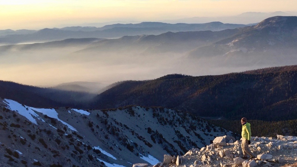
Finally, about 5pm we made it to the summit.


We had plenty of time to mill around the summit, set up our camp, and watch the marine layer roll in as the sun set.


