Moose Lake to Kings-Kaweah Divide near Big Bird Peak and back
(8 miles, +1,500/-1,500 feet).
Today was exhausting.
I mean really, really exhausting.
But crazy beautiful.
I guess the best things in life are not free.
We had originally planned to pack up and head over Pterodactyl Pass to Lonely Lake, but the ranger at the permit desk was skeptical that we would find a dry place to camp there. And now that we can see the conditions at 10,600 feet we think he was right. I camped on snow earlier this month at Tyndall Creek and Kearsarge Lakes, so I know just how annoying it can be!
So we decided instead to keep our dry camp at Moose Lake and do a day hike to the Tablelands and the Kings-Kaweah Divide. It was nice to reduce the weight on our backs while we practiced our new snow skills, but the trip back to camp was really hard and it made me wonder if we should have packed up and aimed for a spot on the Kaweah River instead. (I don’t mind trudging so much if I get to see new stuff along the way.)
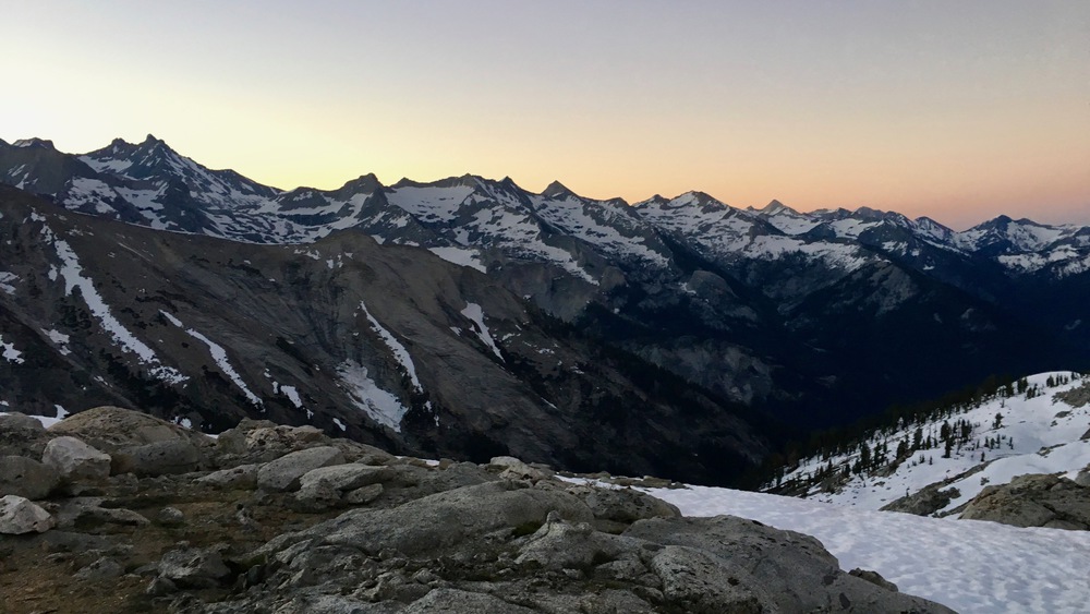
Since we knew we were coming back to an intensely sunny campsite, we took our time getting started this morning while we watched the sun rise.


Once the sun was up we got packed up and headed out (about 7am). This time the light on Moose Lake was amazing! Most of it is still covered in snow, but some parts are melting into blueish pools nearly as intense as the morning sky.


We made our way east along the south rim of Moose Lake, heading towards its outlet on the northeast side.


The water at the outlet was accessible and spectacular. A thin sheet of ice floated on the barely flowing water, reflecting the snow dunes above the lake.


After filling our water bottles, we climbed above Moose Lake on its north side, keeping to a rock band that we could climb without our crampons.

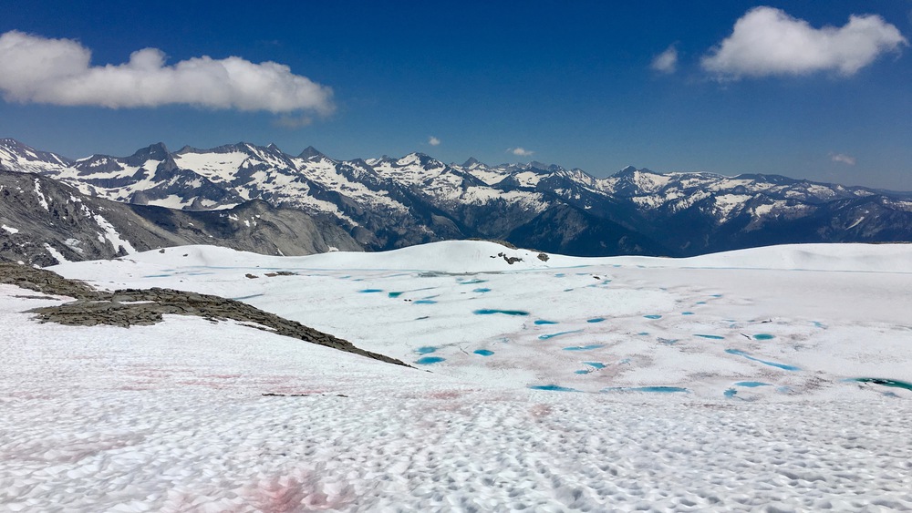
But the rocks were short lived and soon we were back on the snow. The early morning ice was crunchy and easy to walk on in crampons, but it was melting pretty quickly. As we climbed higher, the sun cups got bigger, especially where the terrain flattened out. Sometimes the sun cups were two feet deep, so we had to work very carefully to stay on the edges and not fall in, lest we twist an ankle.

We hit a saddle below a ridge and needed to traverse north northeast to a ridge above Table Meadows that would take us to the Kings-Kaweah Divide. We found a nice flat spot to head for but near the end of that traverse it got really steep and sketchy. We both ended up glissading down to finish the trip up to the ridge above Table Meadows.


Neither of us were too happy with that traverse and we wondered how we would get back to camp without doing it again.
At the ridge above Table Meadows (10,800 feet) there was a big rocky outcrop leaching tons of water so we took a break and refilled our water bottles.


Soon we pressed on, following the ridge and keeping away from its edge where it looked corniced.

About 10am we reached another rocky outcrop and found water again.

The hike then started getting steeper as we climbed up to the Divide.

By 11am we made it to the Divide and had a spectacular view of the Big Bird drainage and Kings Canyon to the north.


It had taken us 4 hours to get here, and snow travel in intense sun is extremely tiring, so we decided to head back to camp. By noon the snow was already getting quite slushy so we were slipping and sliding the whole time.

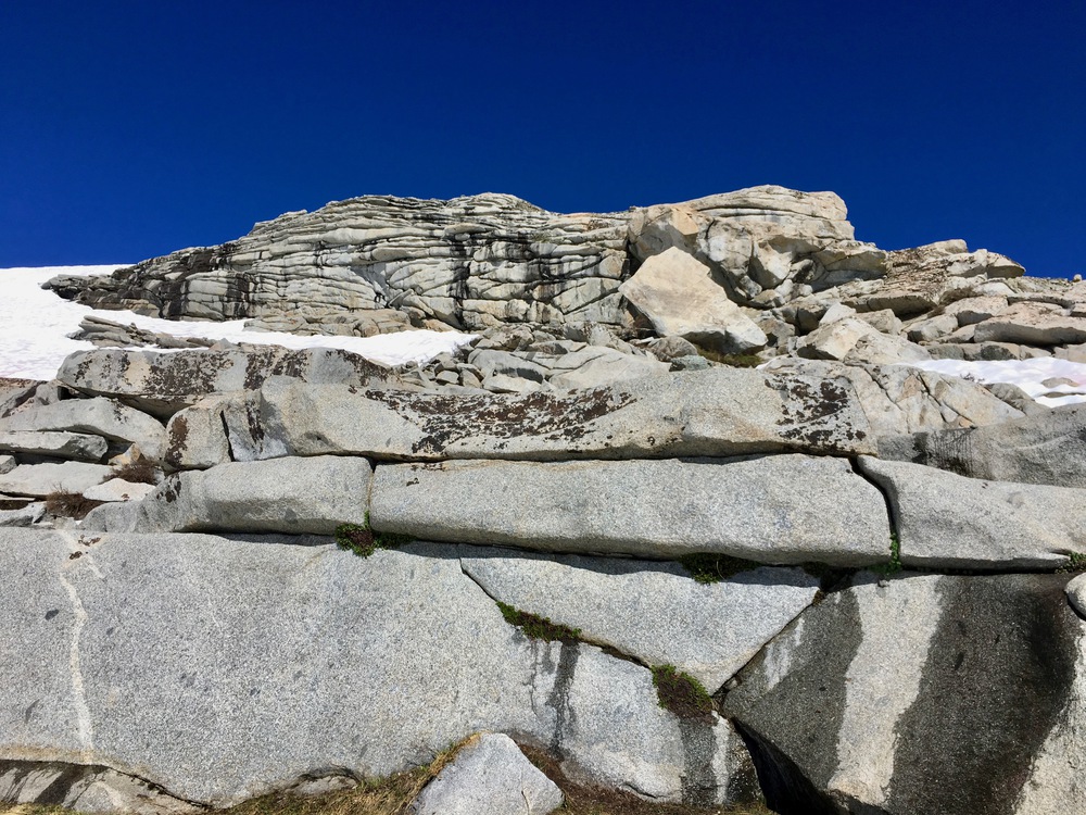
When we finished the ridge above Table Meadows, we looked at the sketchy traverse with suspicion. I noticed that the northern end of the ridge was fully exposed, and from far away it looked like the rocks went straight up. But as we got closer it seemed more and more doable. The idea was to rock climb to the very top of the snowy ridge where we could then walk down a flat slope instead of traversing.

Fortunately, the climb was easy. Mostly class 2 with just a little exposure (class 3) in one or two places. MixMaster hit his head on a rock (and didn’t tell me until later!) but otherwise we were both glad to find a new route back to camp.

The hike down the ridge was not scary, but the slushy suncups got more and more annoying as the day wore on. There was only one small section where we could glissade a bit to get some relief!

Moose Lake came back into view, and we could see that the sun had melted all the blue icy patches, turning them even bluer.


We didn’t make it back to camp until 4pm! It took us 4 hours to go 4 miles up to the Divide and 5 hours to get back. Snow travel is slow!
The intense sun was turning the snow into high humidity and scud clouds above the Great Western Divide.

We discovered when we returned that a marmot had chewed up MixMaster’s new water bottle.


I also somehow lost my Smart Water bottle today (that’s not very LNT of me — I’ll need to find some trash to carry out), so that leaves us with just one bottle each. But fortunately water is everywhere right now so it should not be a big problem.
We tried to rest for a bit, but the sun was SO SO intense. Inside the tent it was really too warm to rest, and I felt like I was getting even more sunburned just laying there (what SPF is cuben fiber?). So we decided to play Cribbage to pass the time a bit.
After double-skunking MixMaster (the worst drubbing of his life!) I cooked dinner and we enjoyed the sky as the clouds dissipated and the sun dipped west. By 7pm I was in my tent and ready to sleep!


Welcome back! Looking forward to reading The Tablelands, but thought I’d take a stab at that pink flowering plant. I think it is a One Seeded Pussypaws,
(possibly Calyptridium Monospermum). Cute little guy.
See you soon!
LikeLiked by 1 person
My, oh my! Those blues are out of this world. And the images Alta Peak reflection, Melted blue icy patch, Blue water, Finishing the climb, well……all of them really! And the Moose Lake images. I just sat here in awe as I scrolled through them again and again.
I didn’t know sun cups could be so deep. Un-fun cups…..haha!
LikeLiked by 1 person