Highland Mary Lakes to Sunlight Creek
(13 miles, +1,700/-4,600 feet).
Although we camped on a bit of a slope last night, it was okay. I only had to scooch back up hill inside my tent a couple of times.
The wind also was not as bad as I thought it might be. I could hear it roaring in random directions from across the empty tundra in the huge rolling hills above the lakes. But we were protected enough that my tent and Ultrashuffle’s tarp handled the breeze just fine.
Not surprisingly, the sunrise was pretty amazing from our 12,300 foot campsite.


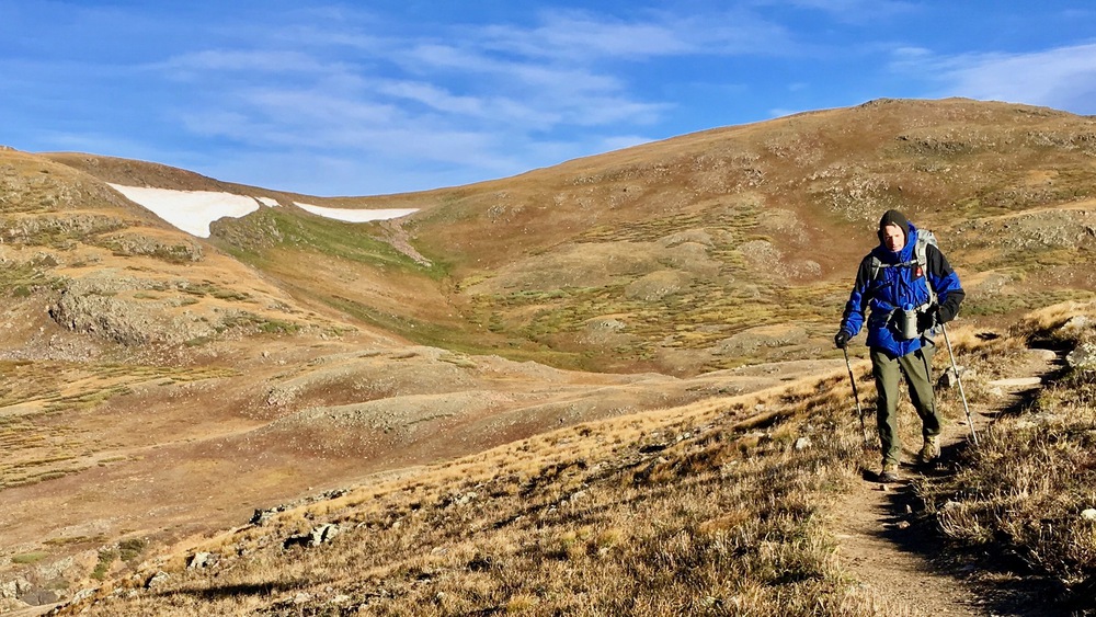
We decided to head cross country due east over a little saddle at 12,800 feet. As we climbed we could see the Grenadier Range to the south.

Once over the saddle we passed by huge snowfields and descended to a still-frozen tarn that lay right beside our objective: the Continental Divide Trail!




A little before nine, Ultrashuffle and I both stopped when we heard a high-pitched bugle. A marvelous elk stood at attention 200 meters away, watching in our direction to gauge our intent.

After a few moments we moved on. This part of the Continental Divide is so flat that it was hard to tell which water would flow east and which west.


Soon we came upon tarn 12504, which flows into the Pacific.


I tried to get some water from the tarn, but it was quite difficult because of ice over the eastern half and within 5 feet of shore all around.


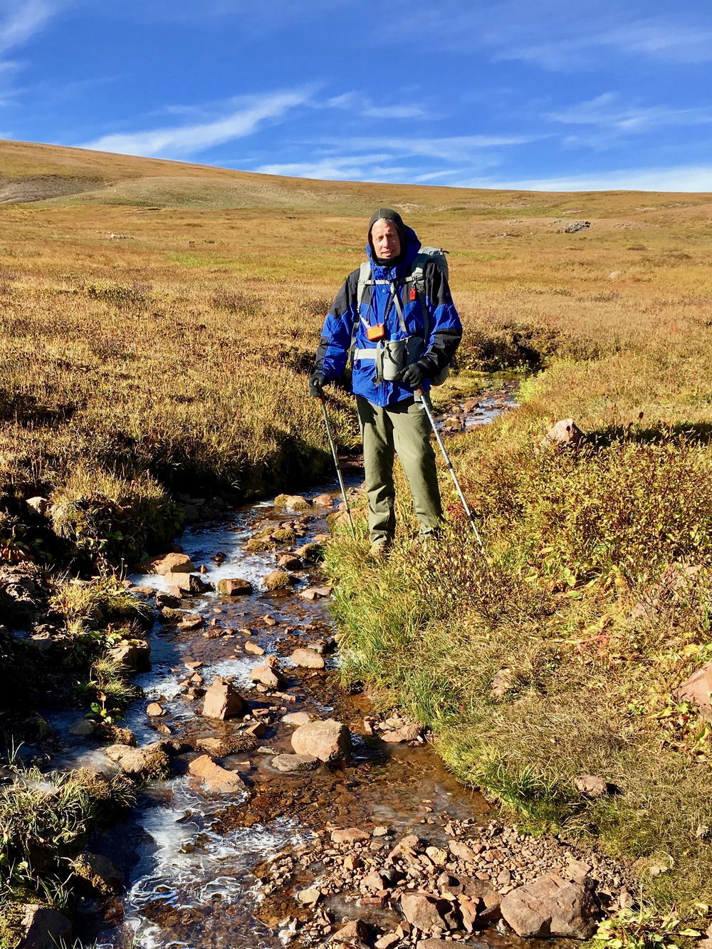
Not long after the tarns at the top of the world, we passed by a pretty creek where it was much easier to get water.

Past the creek we hit a snowfield on trail that we could have avoided, but it was more fun to walk across.


We stopped for a snack where the Colorado Trail splits off from the CDT. We had to decide whether to follow the Colorado Trail back down to Elk Creek and then pick up the Weminuche High Route to Trinity Lake, or to stay on the CDT to Hunchback Pass and drop down to Vallecito Creek.


It was getting so windy we decided we should probably camp lower down tonight, so we stuck to the CDT.


As we descended we noticed two cabins built next to some mines and decided to explore them. It was weird seeing all the old mining equipment rusting in the sun and the detritus left behind by backpackers (curious like us) who had visited the area and used the structures for shelter.


There was actually lots of camping equipment inside: old stoves, tools, and even a locker full of liquor and emergency food someone had left behind. Ultrashuffle found a lovely treasure.
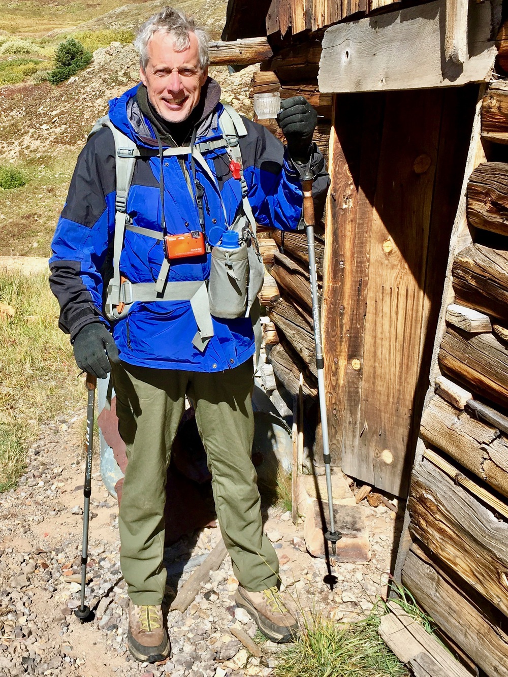
Not needing whiskey or a place to sleep with the ghosts, we pressed on.


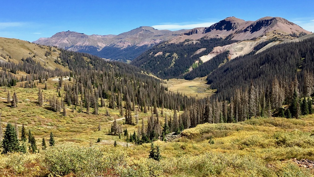
We passed three nice guys from Little Rock who were also doing the Elk Park to Needleton loop (though weighed down with camp chairs and the like) and then started our climb up to Hunchback Pass.

The wind got really crazy. One gust nearly knocked both of us down! It made us really glad we had chosen to (eventually) get to lower ground for camp tonight.
Finally we made it over the pass at 12,493 feet and then descended to Nebo Creek.
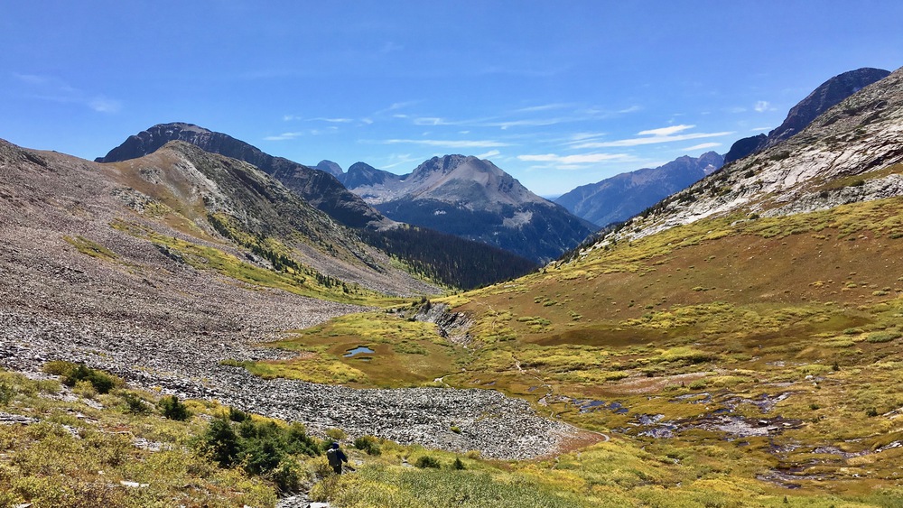


We took another nice long meal break at a spot where we crossed the creek and could sit protected by willow bushes.

At Nebo Creek we had another choice. Stay left and we head back up to the Continental Divide where we could come back down the Rock Creek Trail. Stay right and we keep heading down. We didn’t think we had enough time to do the climb and make it to Rock Creek for protected camping, so we took a right and soon we were hiking next to Vallecitos Creek back below 10,800 feet.


Once again we were in crazy beautiful aspen country with its yellows, greens, and golds.
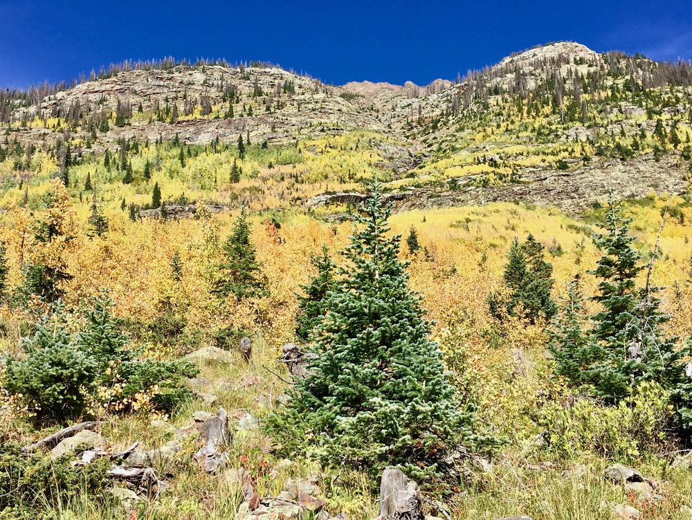


After a while we hit the Rock Creek Trail where we would have come out if we had stayed on the CDT.

By the time we neared our destination for the evening, the sun already started setting over the high ridge to the west.


We found a really nice flat and calm spot not too far from the junction with Sunlight Creek and set up camp in an established site. Ultrashuffle even made a lovely fire as he played with his camp stove.

Tomorrow we will leave most of our stuff in camp and hike up to Sunlight Lake, a spot we would have visited if we had hiked the Weminuche High Route. I can’t wait!