Merriam Lake to Mono Creek
(17 miles, +3,900/-6,300 feet).
Today was amazing but also disappointing. I made such good time yesterday that I thought I could bust out 20 miles today, even though a lot of it was supposed to be intense cross country. Well that was obviously not in the cards. I came up short and camped down by Mono Creek instead of up by Laurel Lake.
I spent most of the day in the Bear Lake basin, an extremely remote, rugged, and beautiful part of the Sierra that is only accessible to those willing to walk a long way off trail. And after that I went off-off trail, exploring my own alternative to the High Route. I’m sure that’s what slowed me down. But as it turns out, slow was good. It gave me more time to enjoy one of the best days of hiking I have ever experienced.
The day started early. I love waking and packing at first light, and a nearly-full moon helped me even more to get a jump on the day.


In no time I made my way from Merriam Lake up to Salle Lake.


I was a little nervous about Feather Pass because it is supposed to be harder than the passes I did yesterday. But the south side was definitely a solid class 2.


The way down Feather Pass on the north side was definitely steeper, but I never found myself in a situation where I felt exposure.

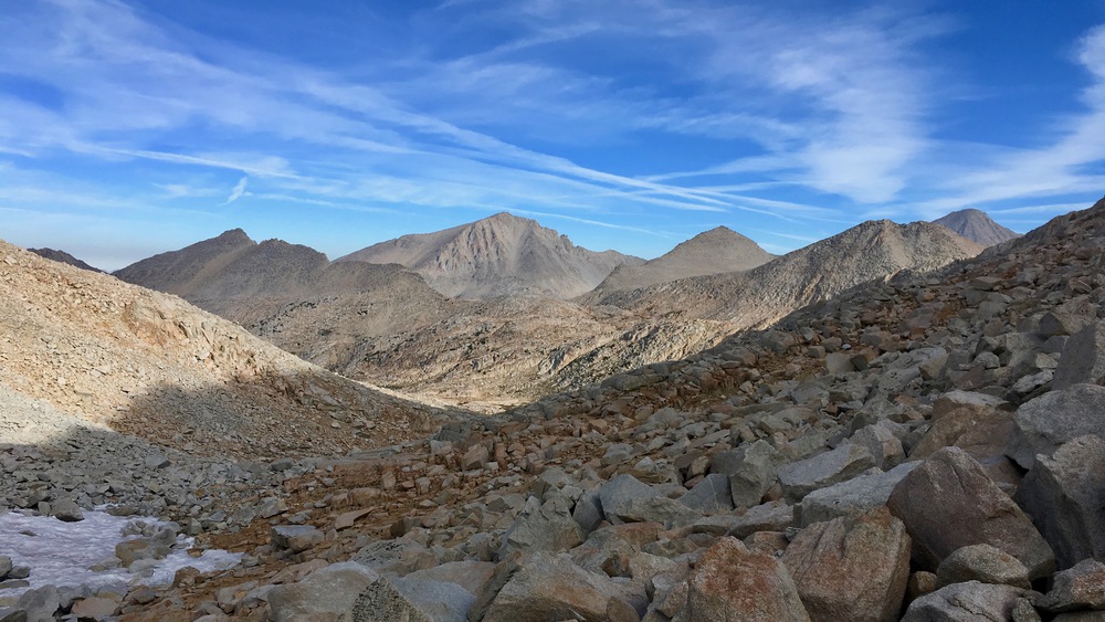
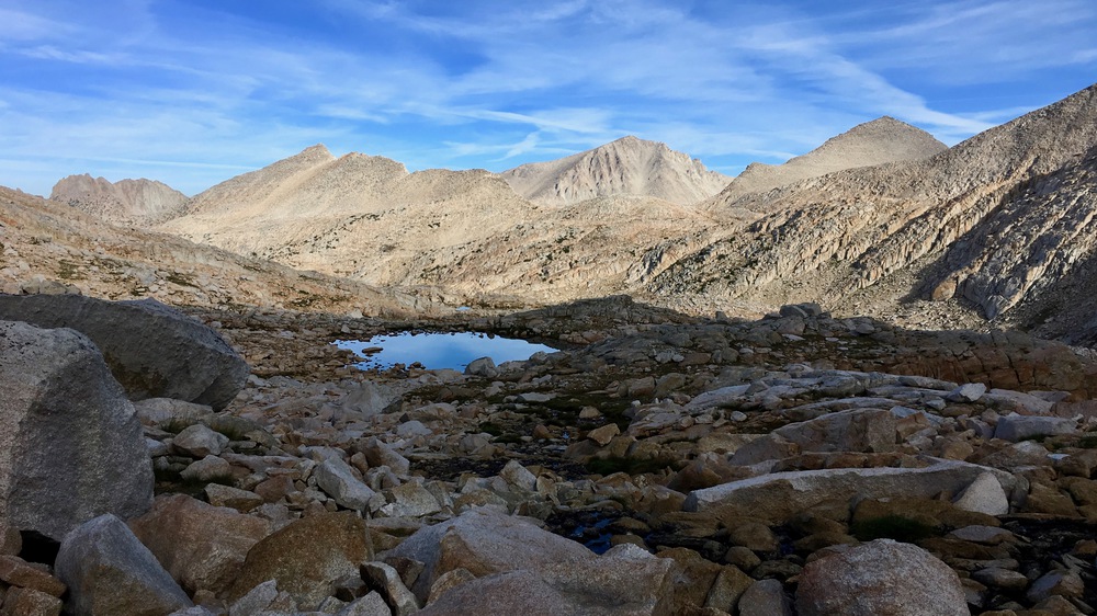


Although this area is remote, some parts of the route through it are so obvious that a clear use trail has formed.


Right below Bear Paw Lake I ran into another hiker who was headed up to climb Feather Peak. I told him that Bear Paw Lake might be the most beautiful lake I had ever seen. He smiled and said “Just wait!”


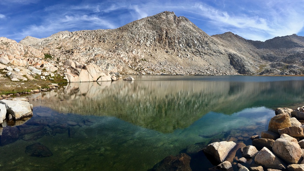


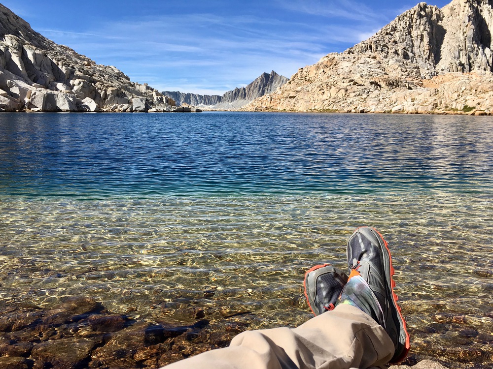

The route up to White Bear Pass was extremely easy. It’s basically right at the lake.

The route down the pass was more challenging, though. I traversed to the right as recommended but I didn’t stay high enough and I ended up in a very steep section where I needed to do some class 3 downclimbing and bushwhacking through willows. And when I was done with that I had to boulder for a bit. I saw some other hikers coming up who were doing it the right way, staying to the north in smaller talus fields and then traversing up the less steep part.

But it was fine. I never felt scared, just focused. And then I was back to some more beautiful lakes.


And then it was done. No more Bear Lake Basin! But I will definitely be back. I could spend a few days exploring just the lakes I saw, let alone the ones I didn’t!
At the turn to head to Lake Italy I met a hiker who has been coming to the Sierra every year for 30 years! He broke his leg on the High Sierra Trail two years ago, but he recovered and then went back to the spot where he fell so he could give it the bird!
And now he was doing the High Route once again. He gave me lots of beta on the parts coming up for me, and I told him about my mistake on White Bear Pass. I also told him I was headed for Laurel Lake and he shook his head, saying (correctly) that I should probably aim for Mono Creek instead. It was a useful exchange!
I got to be on a trail for a little while up to and around Lake Italy. But it didn’t last long.


Most people who do the High Route follow the trail to Toe Lake and then head up easy granite slabs to Gabbot Pass. But on the USGS maps I saw a seam that ran from the northwest part of Lake Italy straight towards the pass. So I decided to try that instead.
First I headed up a drainage to a tarn above the lake at about 11720+


From there I slowly traversed up gentle meadows to the seam.


I followed the seam to the top where I could see Gabbot Pass below.

The alternate route was fun, but not as efficient as the standard route. I think the terrain was just a bit rougher, and I had to climb about 100 feet higher than the pass.
Once I got to the pass I was hoping to do some glissading on the way down since the hiker I met told me there were many snow fields. But they weren’t steep enough! 😦
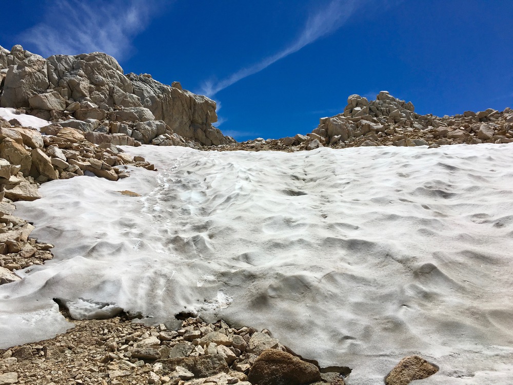


Nonetheless, the snow fields were very useful because they allowed me to avoid a lot of climbing on the boulders below them!
There was a beautiful glacial tarn at 11760+ where the descent started to get a lot easier.


And then right after that I got my first view of the Mills Creek lake basin.


The route down from the lakes was wonderful! Easy granite slabs helped me descend quickly.


But then it got steeper and bushier and the trail just disappeared! I spent the next hour going back and forth between a steep cliff and a stream rushing over slabs too steep and too slippery to descend. I spent A LOT of time in the bushes. And then I found the trail again. It was way too obvious once I found it. I had clearly missed it and cost myself a ton of effort in the rough terrain. But once again I never felt in danger — it was just annoying.

Once on trail I made good time down to Mono Creek, but it was already 6pm and I was totally spent. I was not going to make it back above tree line. Time to camp and call it a night!


