Lake 10217 to Lake 11311 and back then downstream to Isberg Pass Trail
(10 miles, +2,300/-2,700 feet).
Today we started with a day hike to explore the upper Lyell Fork. I’ve mapped it on caltopo, along with our trip yesterday through Bench Canyon:

For the most part route finding was straightforward, except the path from Lake 10702 to Lake 10999. More on that below!
We started early, just as the mosquitoes were also starting to wake up.

The early morning light made everything look like a pristine wonderland.


There is a huge waterfall below Lake 10702 with an easy route just to the south of it.

An easy class 2 climb quickly turned to class 1 at the Lake 10702 outlet


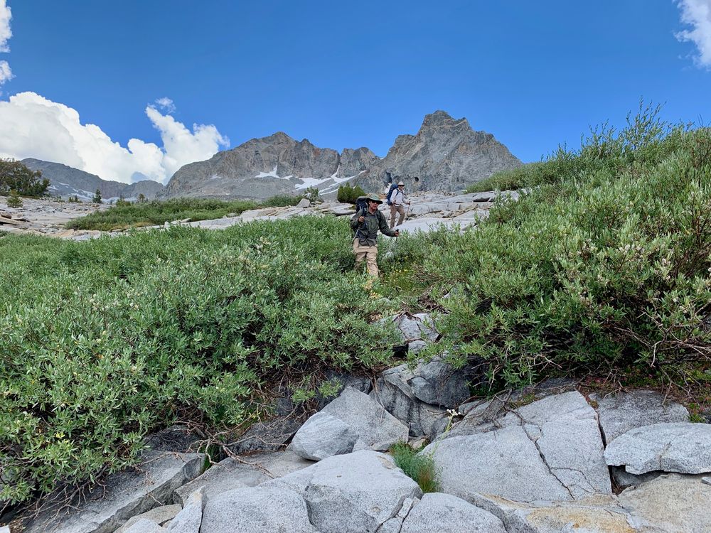
There is a gorgeous flat grassy area that leads up the inlet to Lake 10702, but it quickly narrows into challenging and loose class 3 climbing at about 20 feet above the rushing creek. Instead of following the creek we should have climbed the hill to the west of the ravine.


We bailed about halfway up the class 3 part by heading straight up the hill, but instead of climbing to the top, we went to the other side of it which was not-so-stable smallish talus.


Eventually we hit some granite slabs that made it easy to get to the top of the hill, and on its north side we found a way back down to 11,000 feet.


After our last ravine adventure, I was a little gun-shy on the way up to Lake 11160+. But it turned out to be much easier, barely class 2 as we climbed above the canyon walls on the east side.
We found a massive snow field at the outlet to the lake.

There were three ways to cross: a snow bridge, a 5 foot jump, or a wade. Each of us chose a different way to go!


The rest of the way up to Lake 11311 was a piece of cake, as we found a lovely grassy seam. It was as if John Muir himself had rolled out a green carpet just for us!


The color of the lake was spectacular — too gorgeous not to dive in!


After warming (and drying!) in the sun for a bit, we pressed on. Massive snowfields forced us up about 40 feet on the southern shore. Slowly we made our way around the lake.


I was thinking: this is a really huge lake! But as we headed back down valley, we actually passed a second, unmarked lake to the south that is just a few feet higher than 11311. Once we got some elevation we saw that they are not connected.


From there we descended past a series of tarns.


The descent was all class 2, with occasional route finding to keep it that way

We took a nice long break at Lake 10880+.


All that was left to do was to follow a series of grassy ramps down to a ridge west of Lake 10217.


We could not find a rock hop across the outlet to Lake 10217 so we waded at an ankle-high spot.

And then we had lunch!


Honestly, I didn’t know it at the time but the most challenging part of the day lay ahead. We had to descend a pretty steep and cliffy area to the west of Lyell Fork. There was a lot of backtracking and sometimes we had to do short class 3 moves down steep granite cliff faces.


But soon the angle mellowed and we dropped into a breathtaking forest.


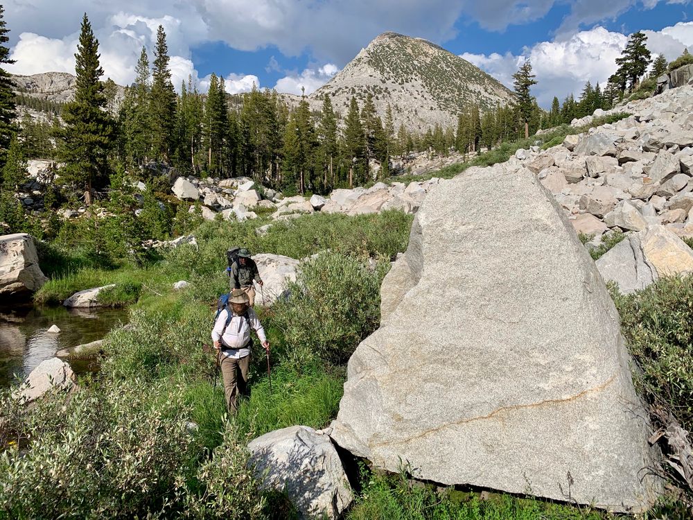
The cross country was actually much easier and less buggy than I expected until about half a mile before we hit the Isberg Pass Trail. Here we had to tangle with huge boulders and lots of willows and our worst mosquitoes of the day.

We found the trail, and I was hoping to find an established camp site, especially since we were all pretty spent. But we couldn’t find one on our side of the creek, and it was still running high enough that crossing over to the other side would have been annoying. Instead, we opted for the switchbacks up the south side of the valley.
We pooped out at about 9500 feet, opting for the first flattish spot we could find. But it was still deep woods and buggy, so ChiaGlyph pressed ahead and found a spectacular ridge spot with views and even a little breeze to knock down the bugs a bit.

We could hear thunder in the distance, but I didn’t worry because we were still pretty close to the woods.

The stormy weather made for a lovely sunset.
