5 April 2023
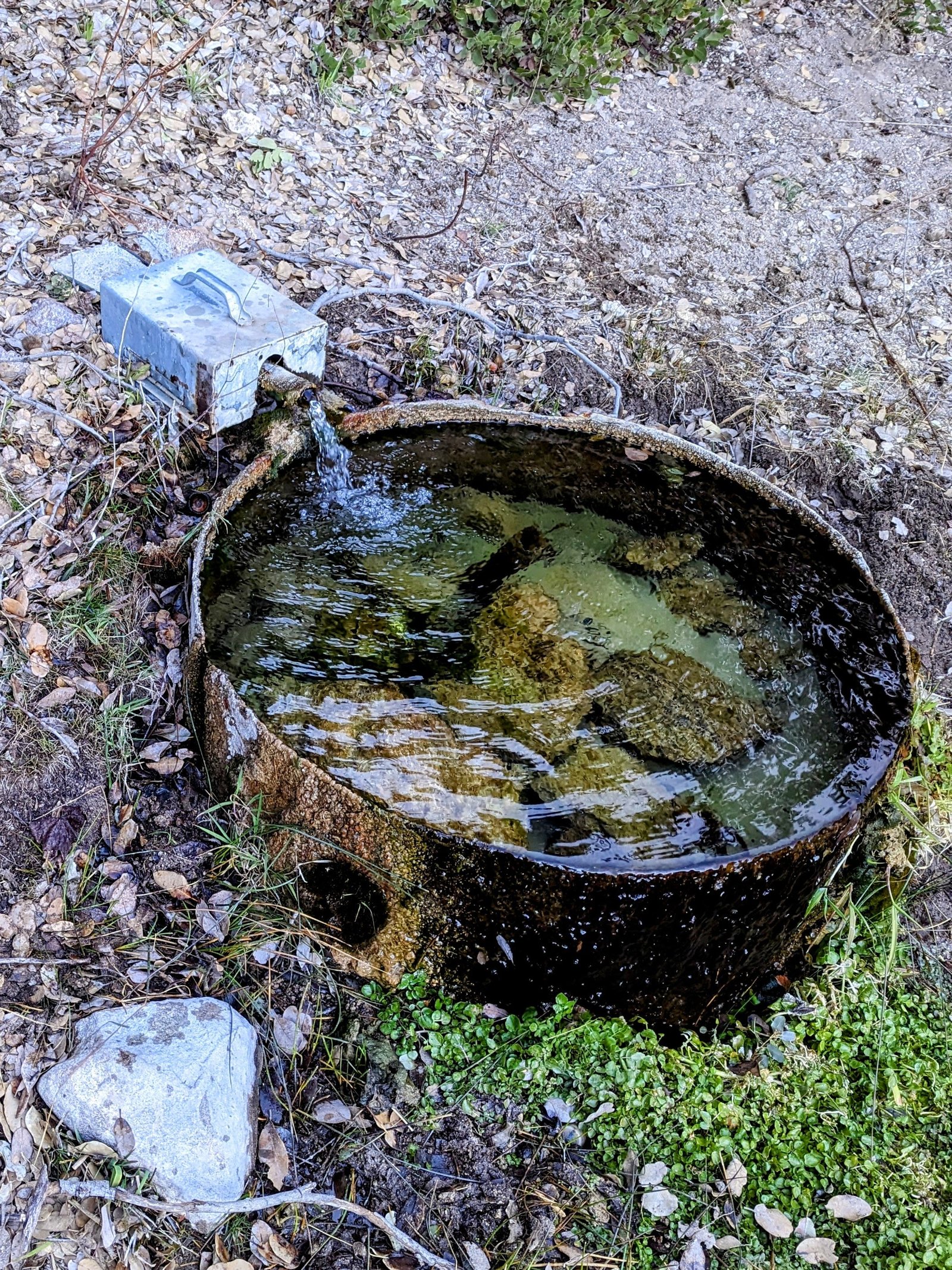
Cistern at PCT Mile 140 to Live Oak Spring (PCT Mile 158).
There was a lot of variety today! It started with an astronomical wonder:
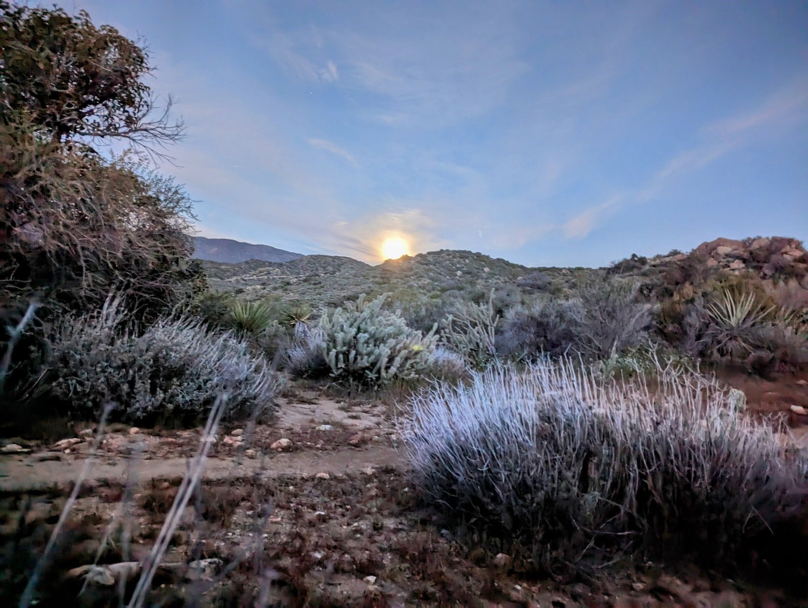
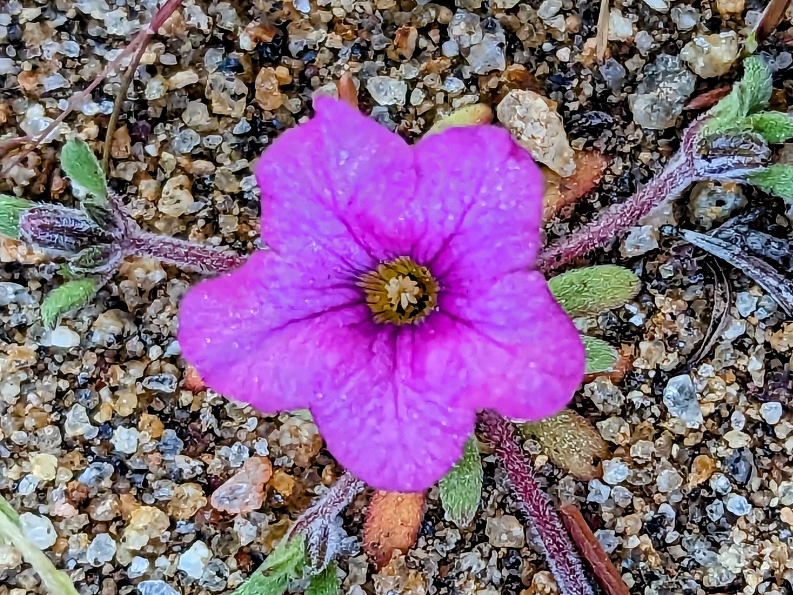
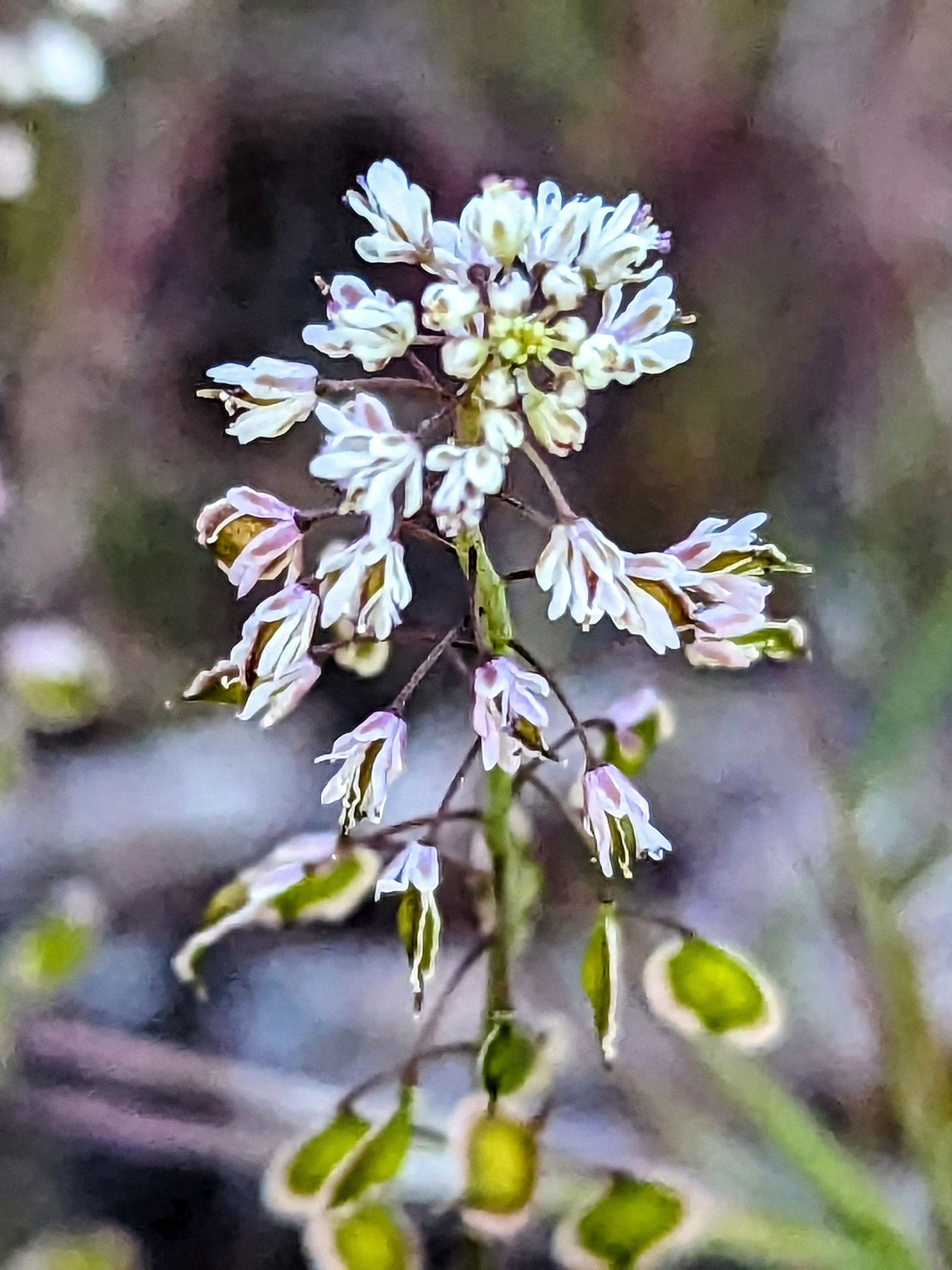
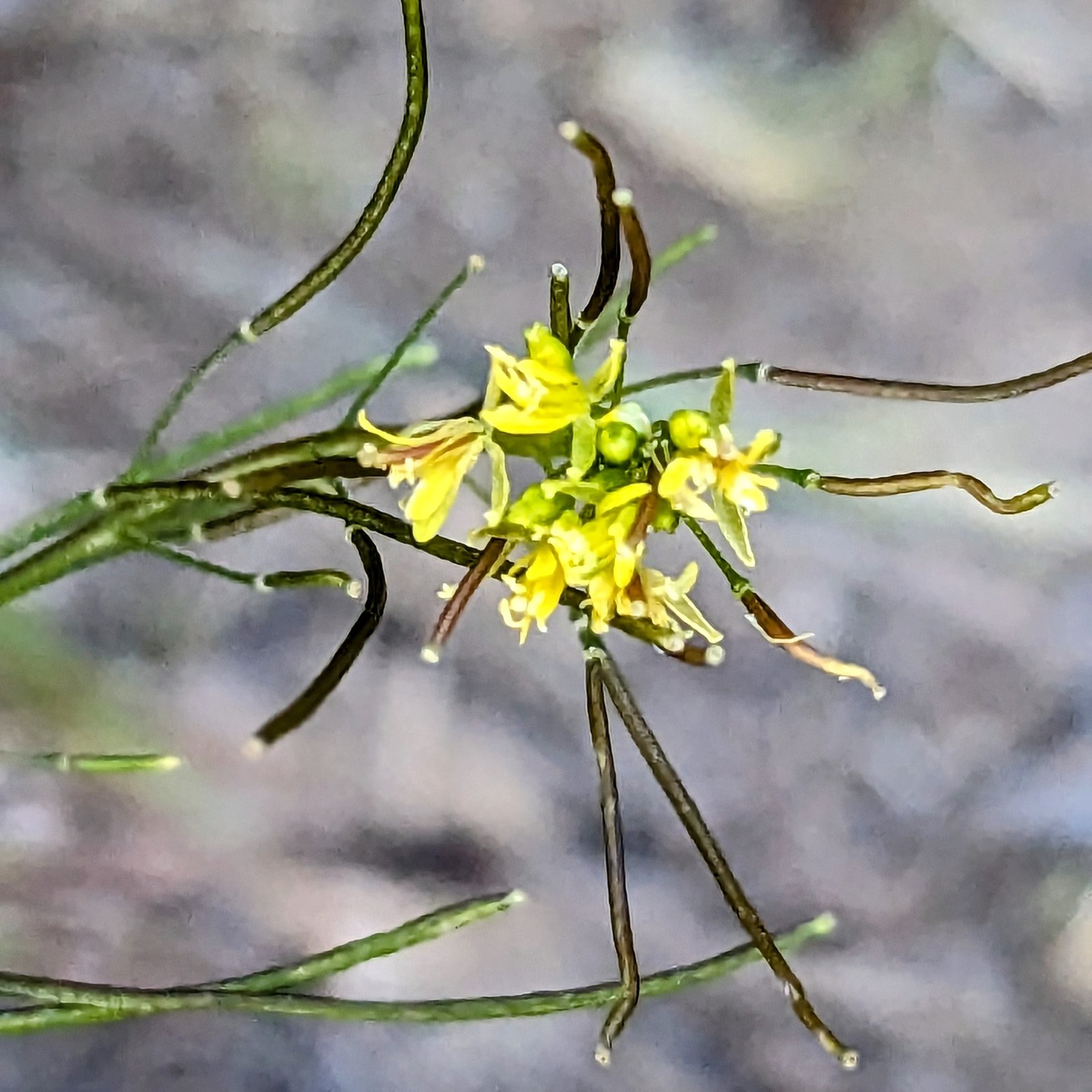
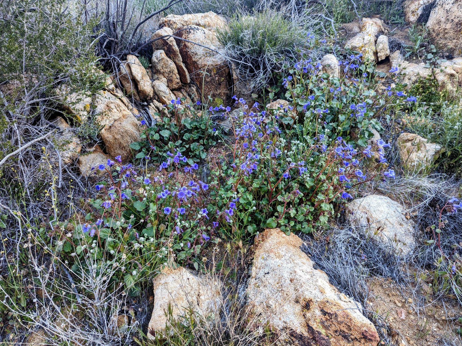
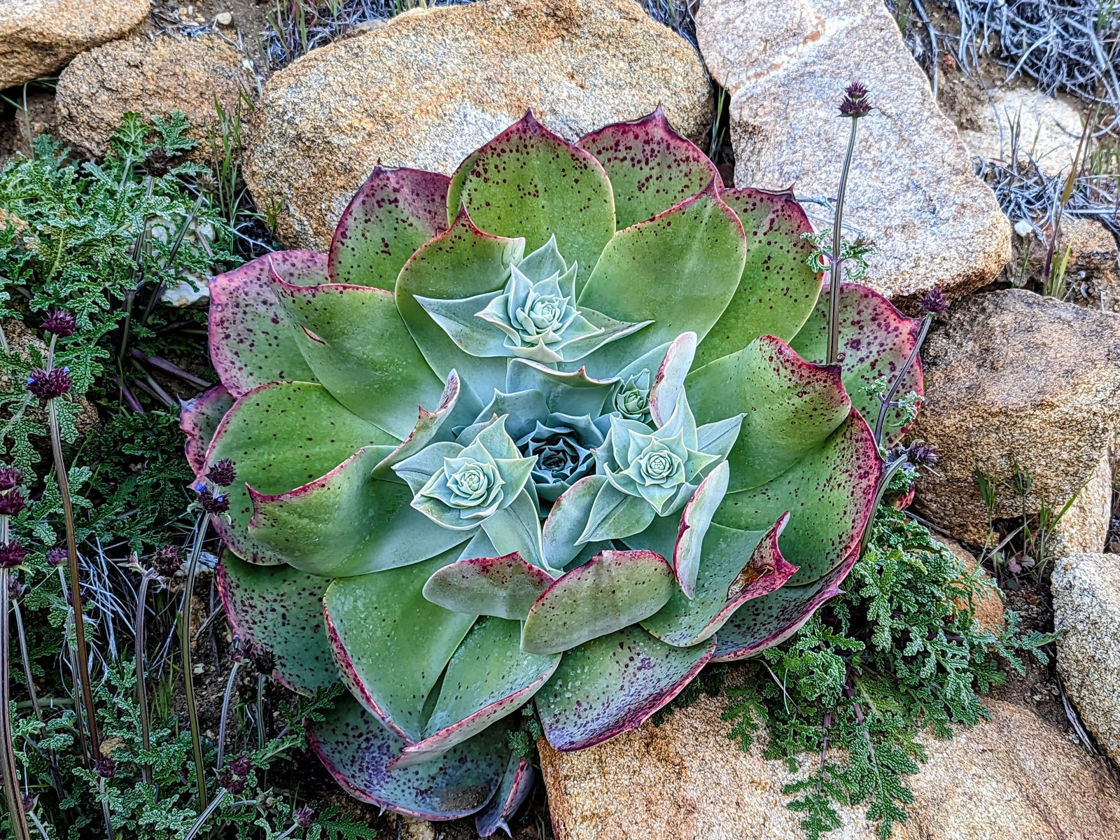
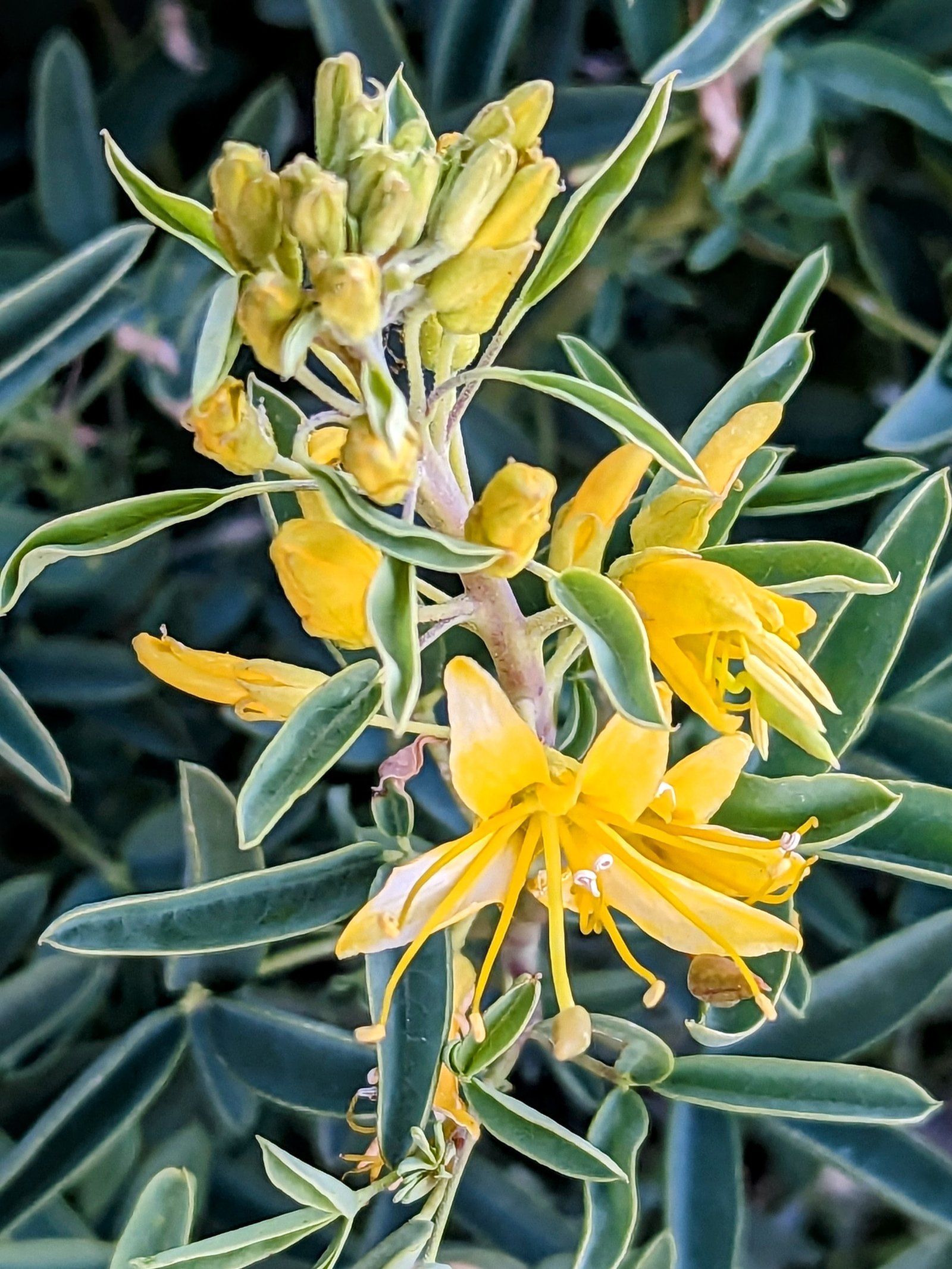
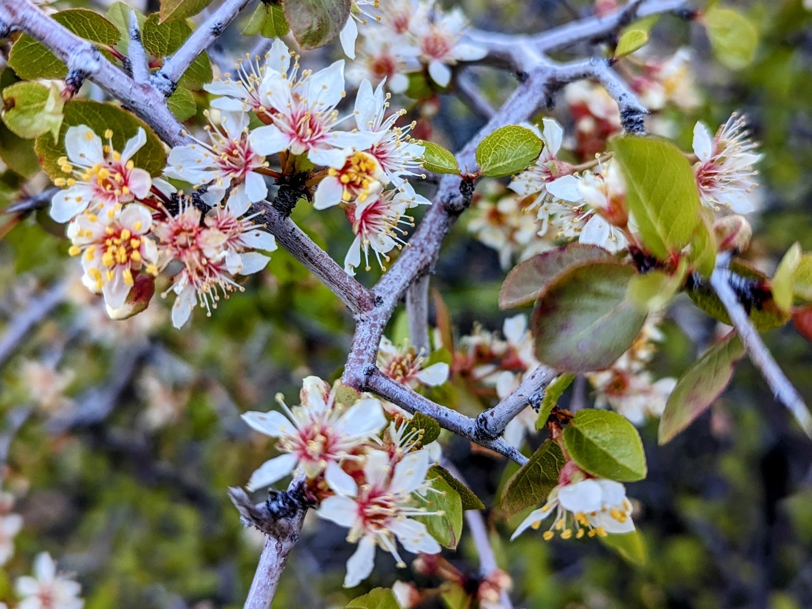
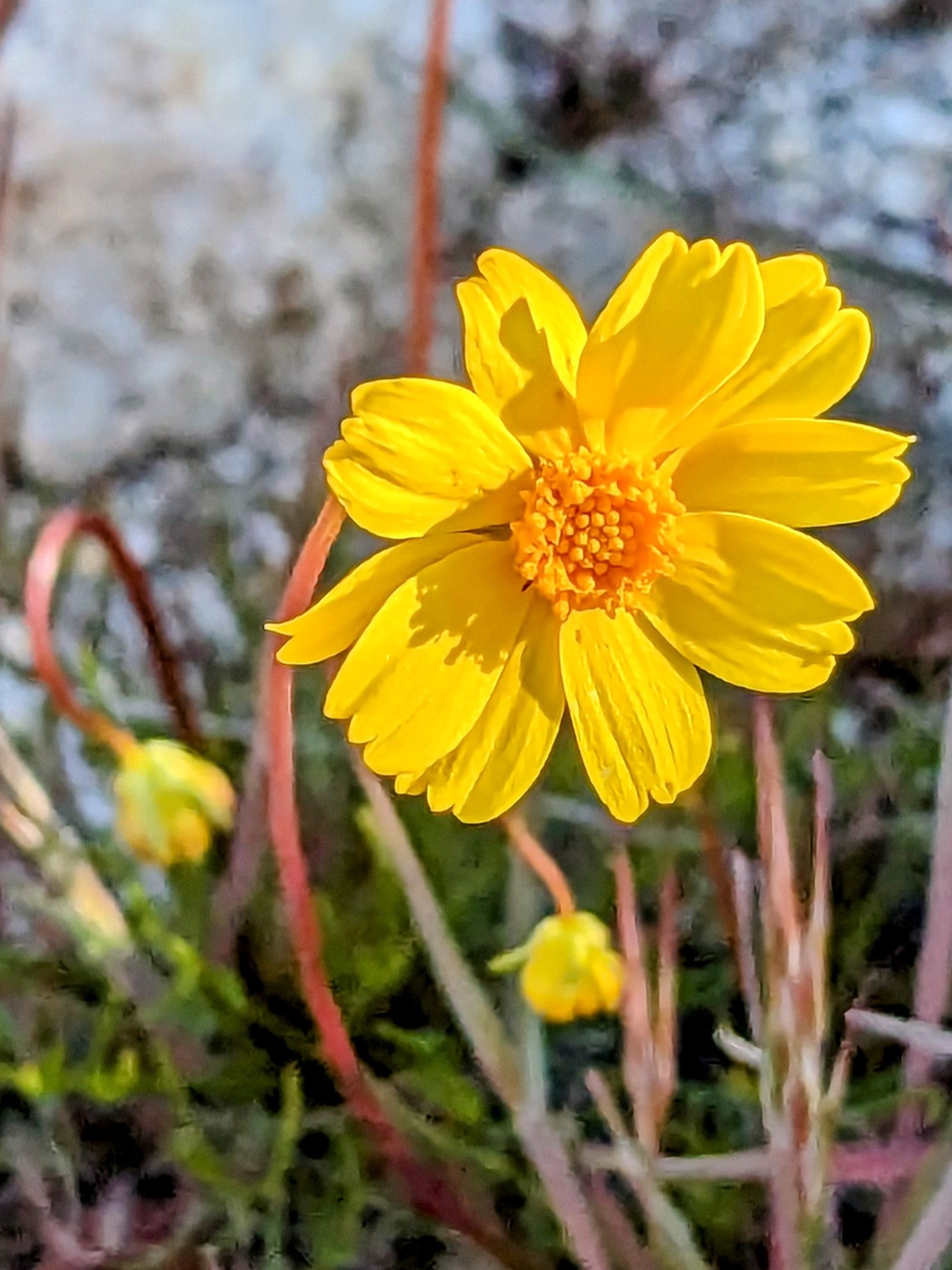
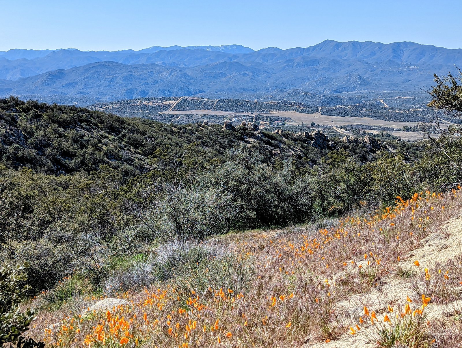
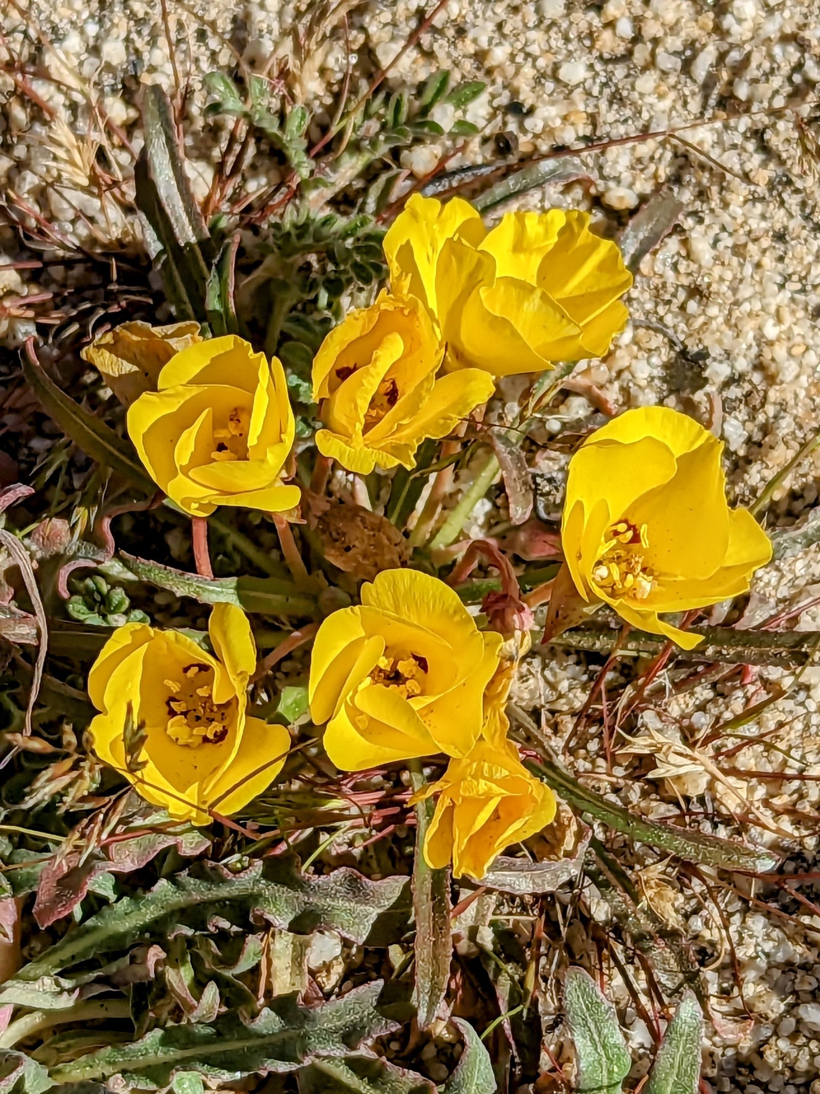
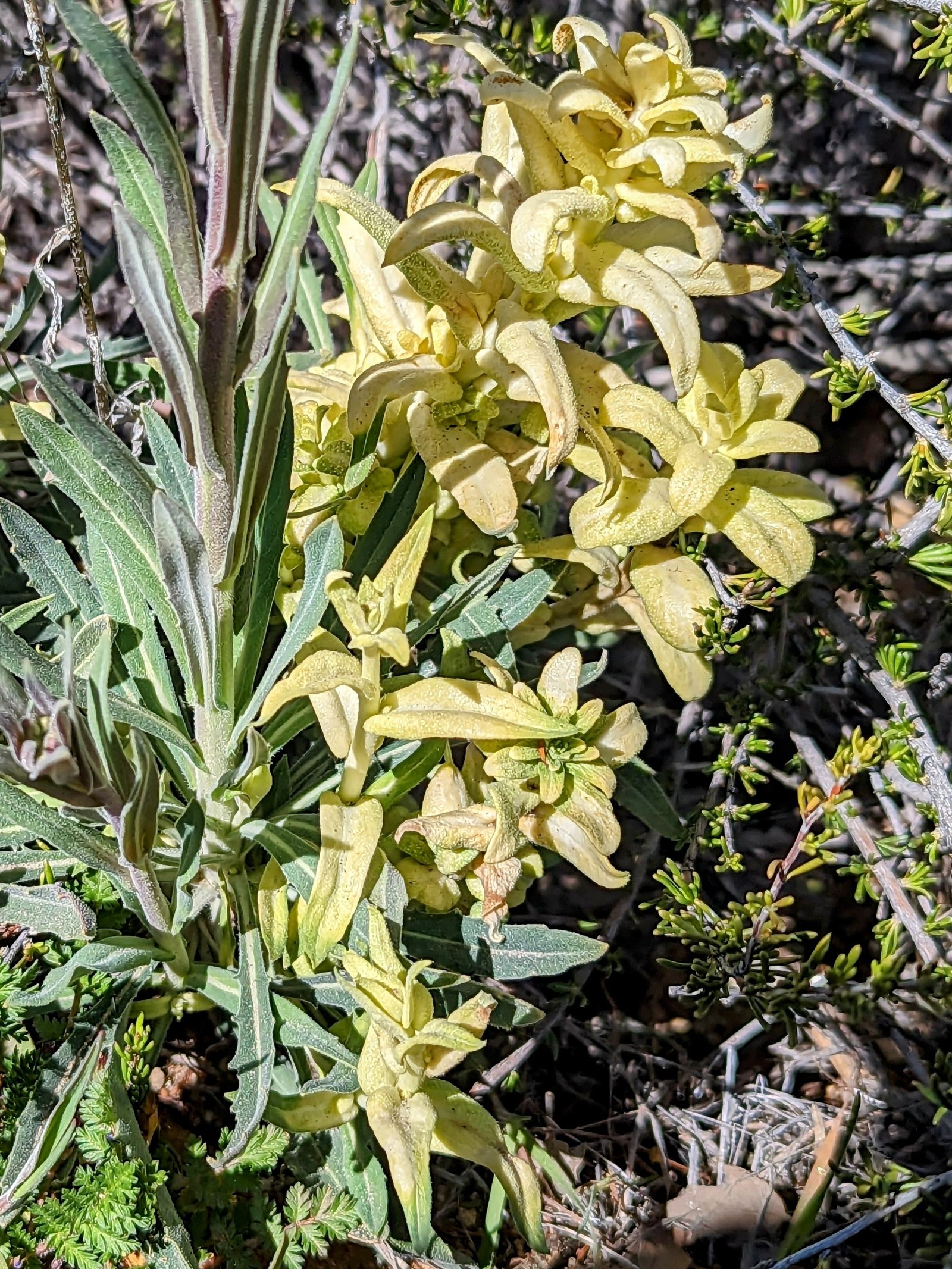
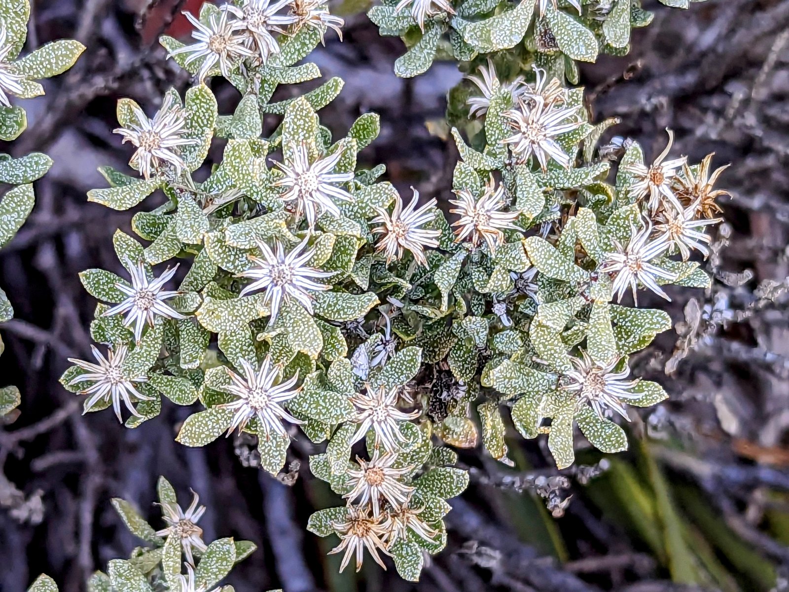
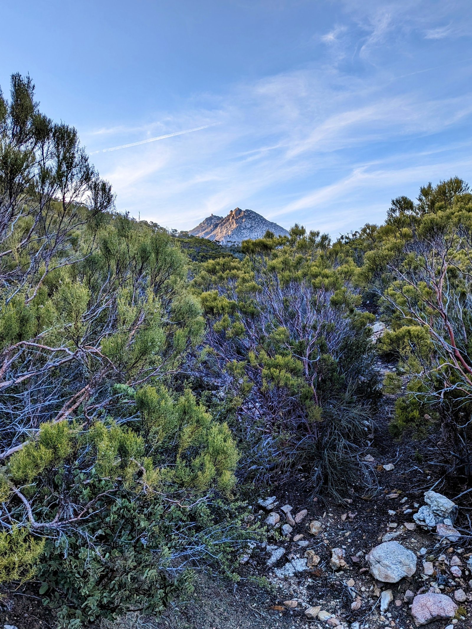
At my usual first light I packed my things, gulped down a pint of cold-soaked oatmeal and dried fruit, and then started walking. The flowers were the best they have been so far, now that we are late enough and low enough that they have had time to germinate and bloom after the cold.
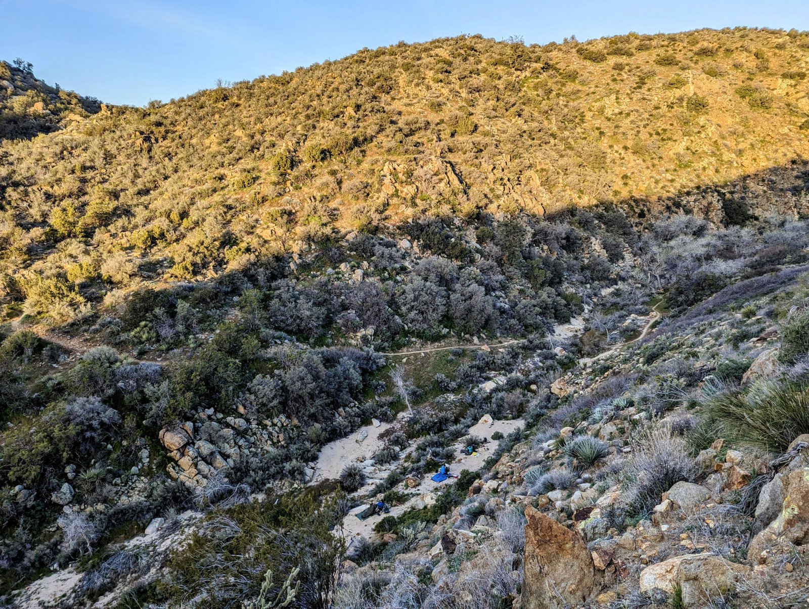
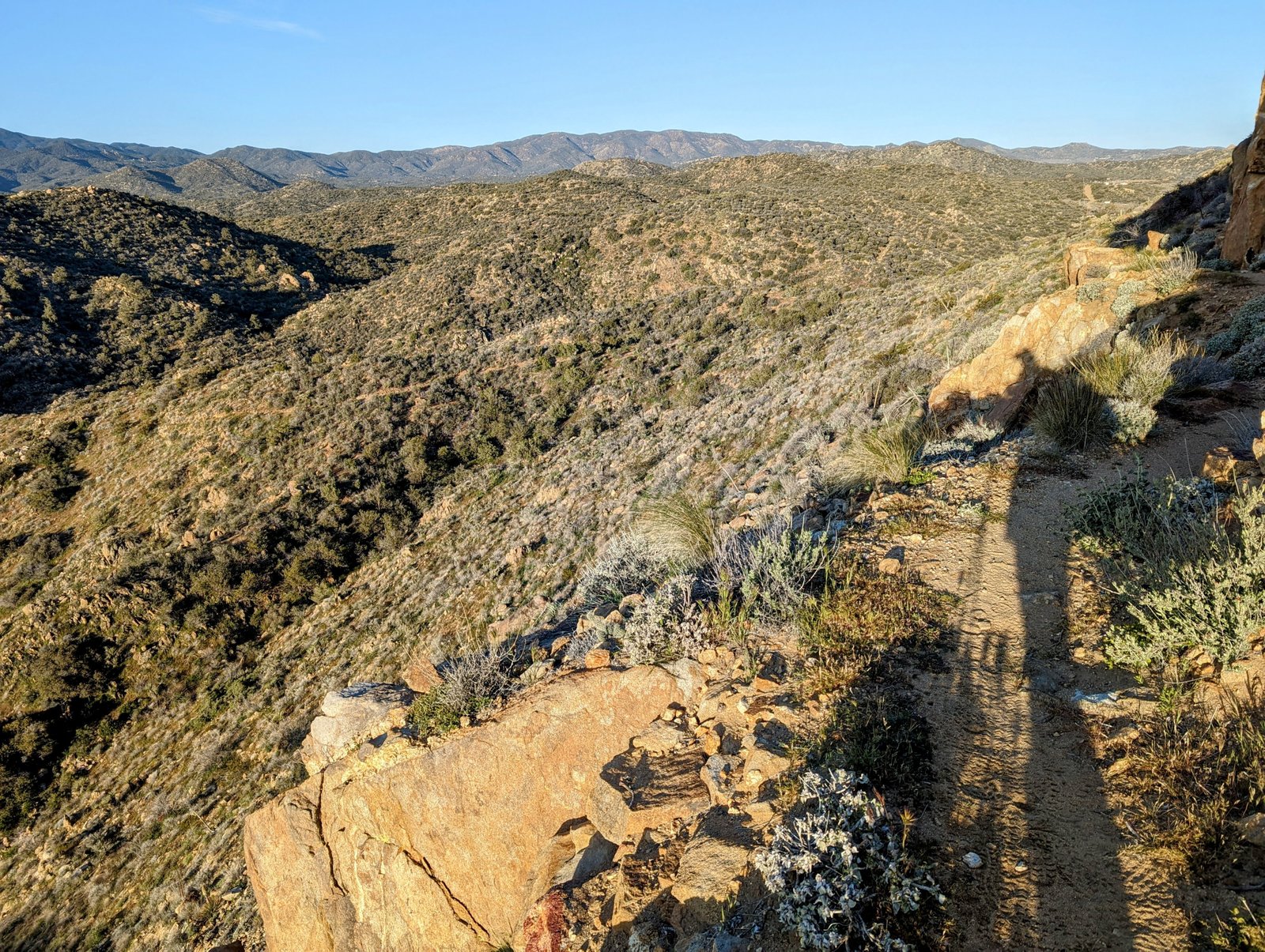
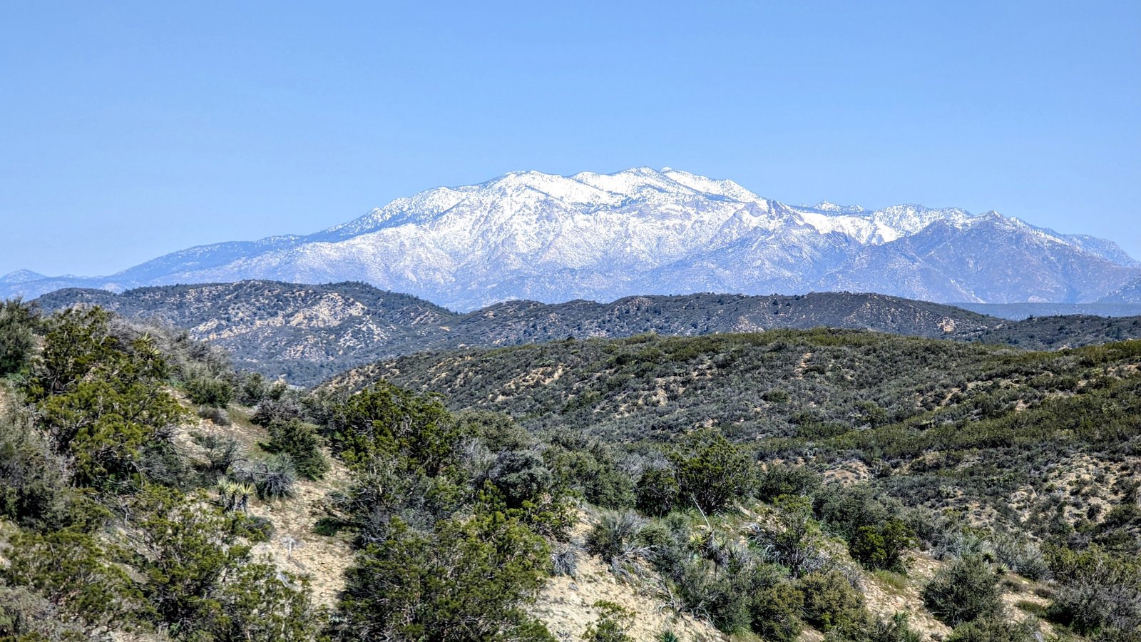
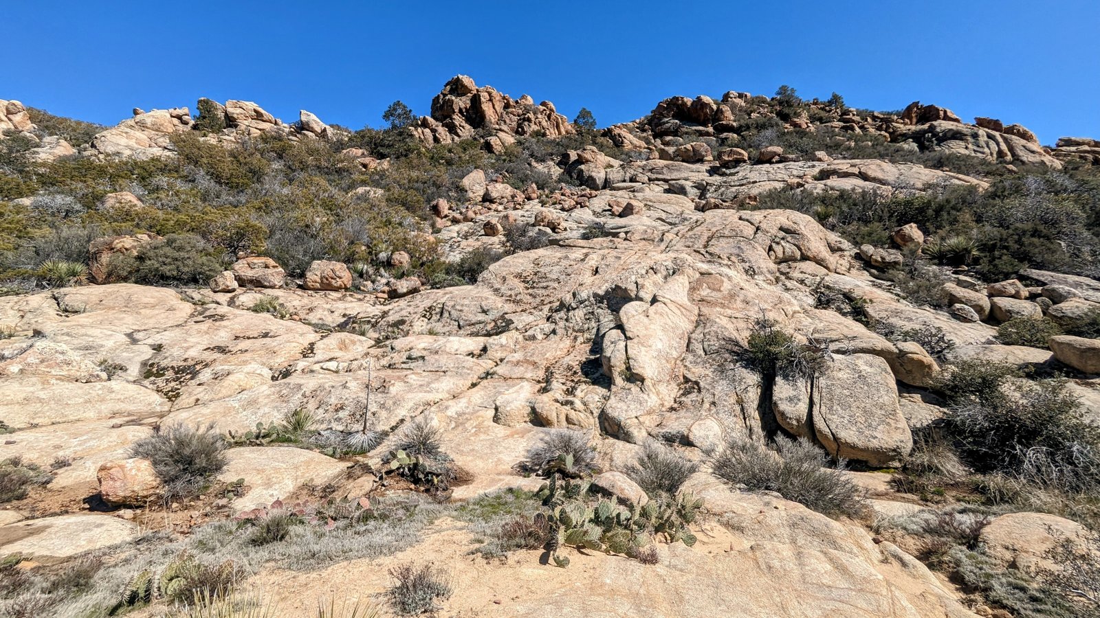
I descended to Nance Canyon, one of my favorites in Anza-Borrego, and then started a several mile climb up to Highway 74. In the canyon I saw other thru-hikers starting their day after cowboy-camping in the wash.
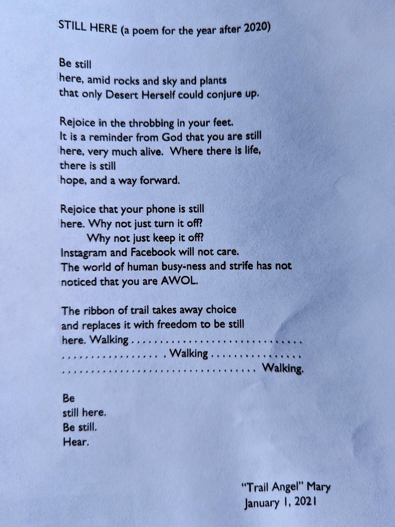
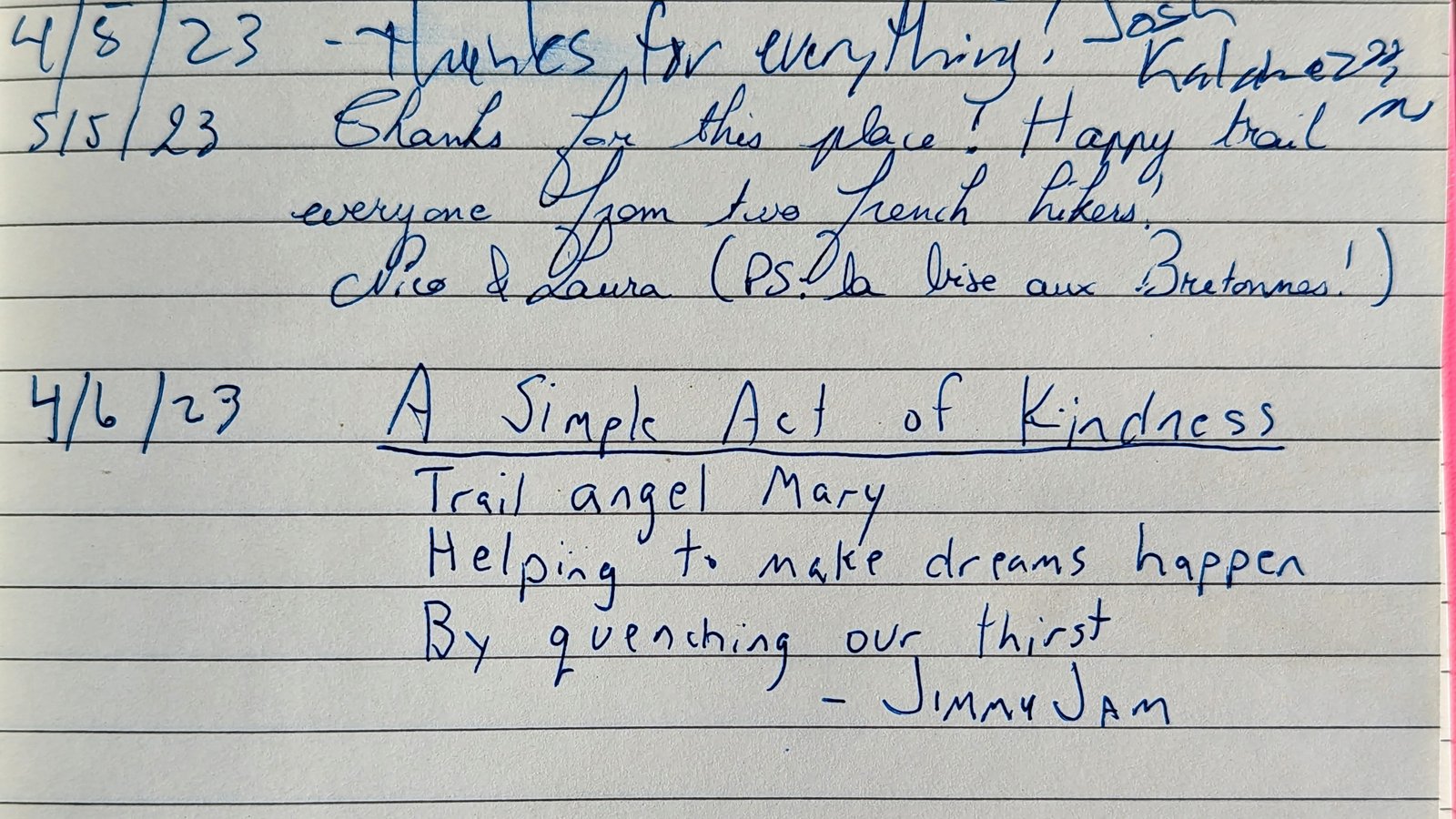
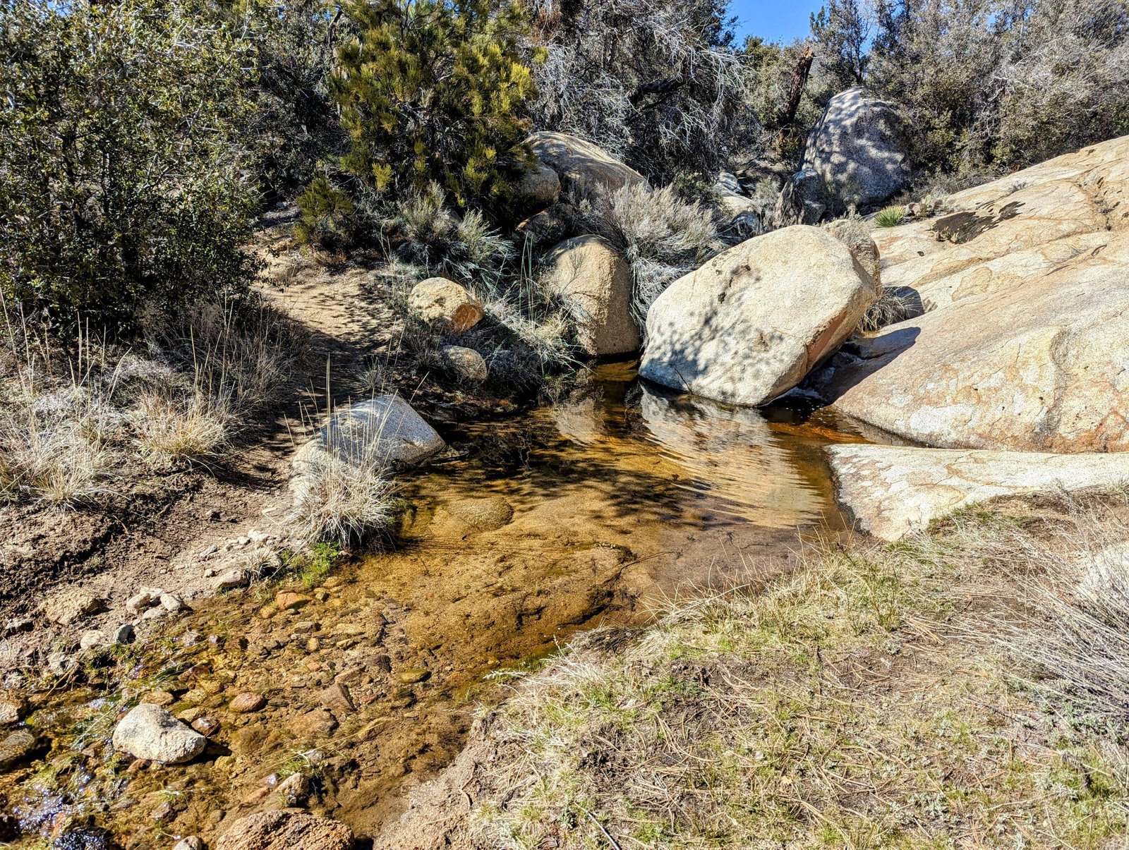
In no time I arrived at Mary’s Oasis. Mary kindly provides water in this very-dry stretch of trail to thru-hikers. She also has a little free library where she shares her poetry and has placed life-sized images of John Muir, Henry David Thoreau, and Walt Whitman.
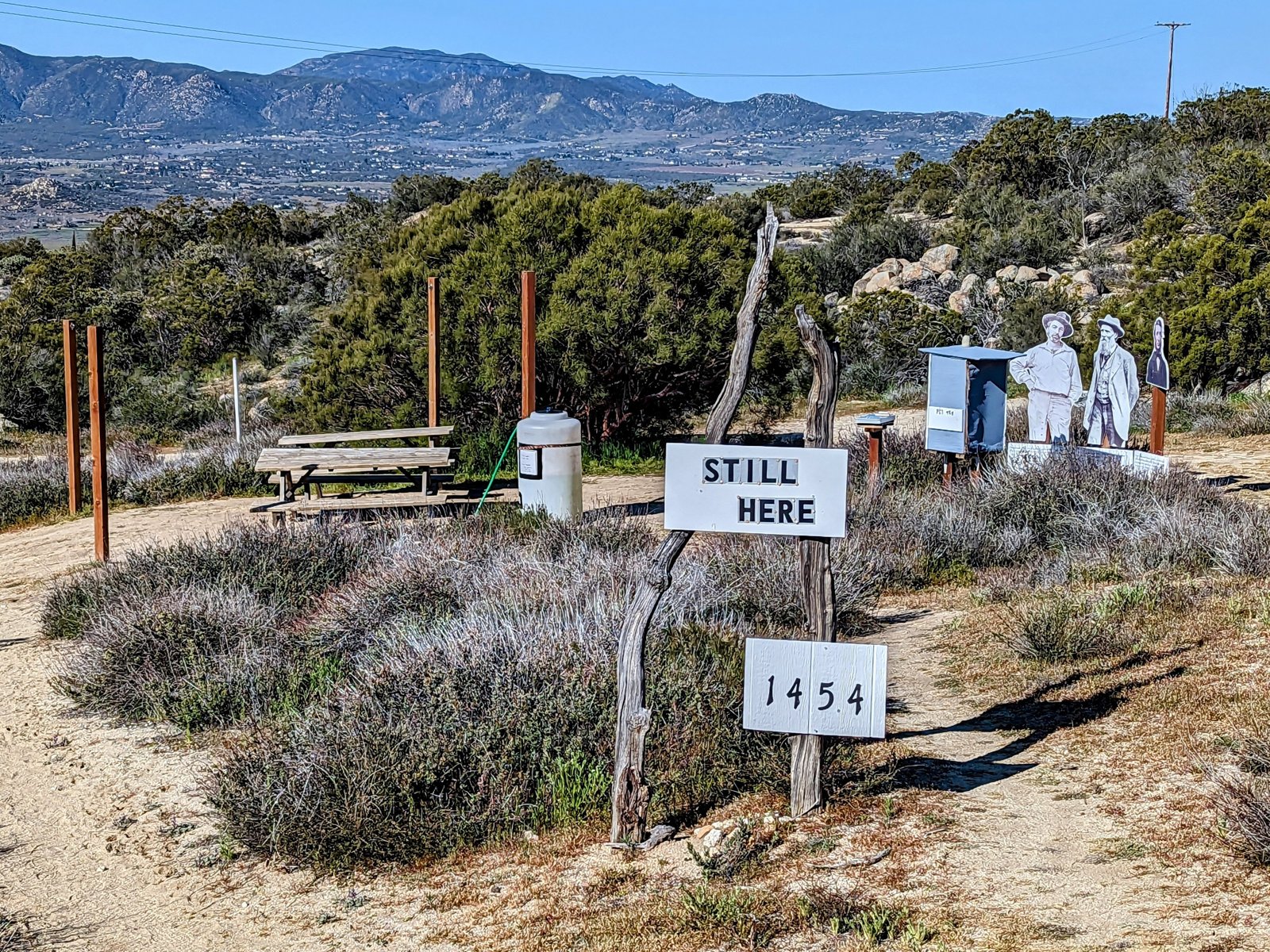
I left my Hike-U for the day in her trail register.
The hikers who cowboy camped in Nance Canyon caught up with me and we had a lovely conversation about the Sierra.
And then I pressed on.
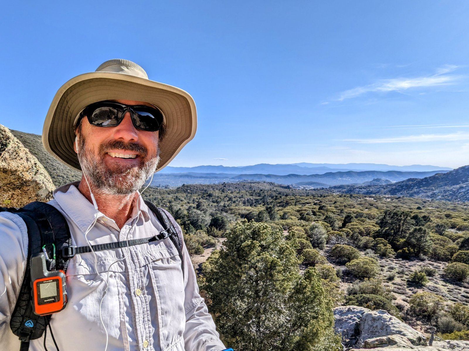
Near the turnoff for Paradise Valley Cafe, one of the hikers from Nance Canyon named Highlight caught up with me. We hiked together to the turnoff, and the I waited with him for his friends to catch up.
Then we hiked to the Cafe and had lunch together.
Each of them ordered two entrees. But I only ordered one. I have decided to get off trail so I need to start practicing normal-life eating!
In other news, there may also have been beer.
Another of the hikers named Beans just turned 21. So we all had a Pale Ale. (Or maybe two?)
It was lovely, but they were all going to Idyllwild and I still had 10 miles to hike.
When I said goodbye, Beans said to me “Enjoy your drunk hike!”
D’oh!
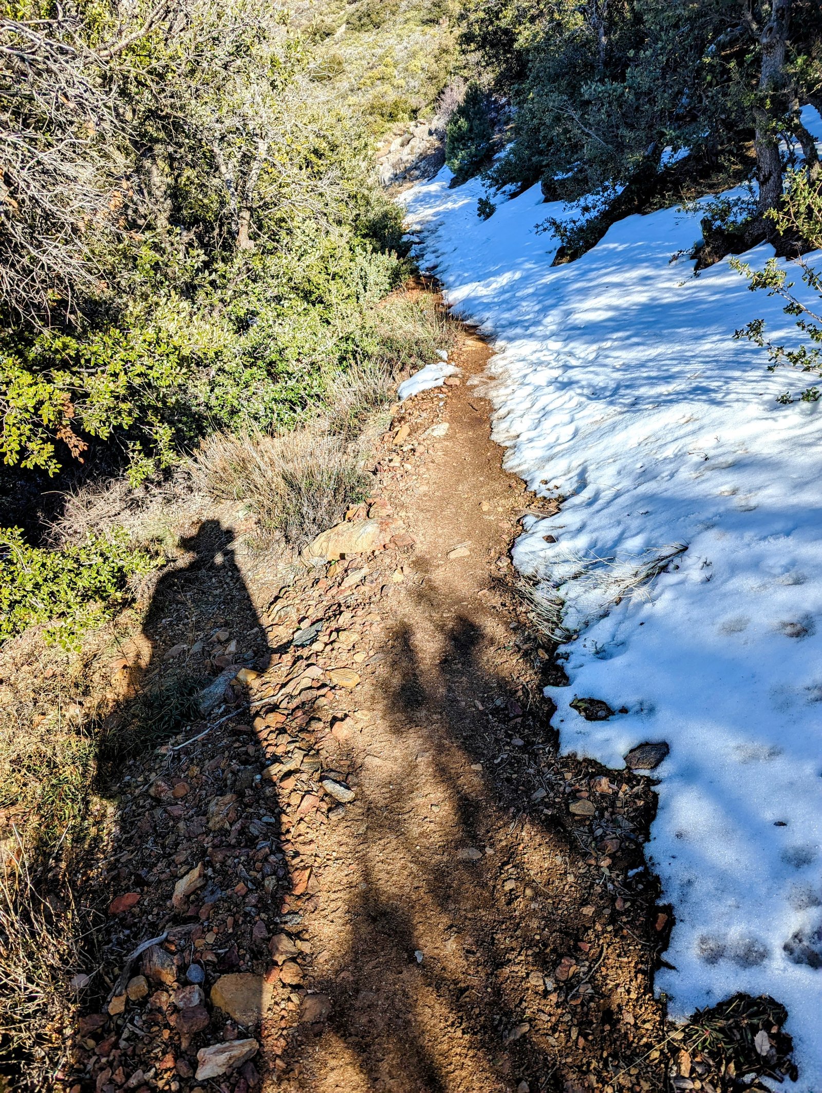
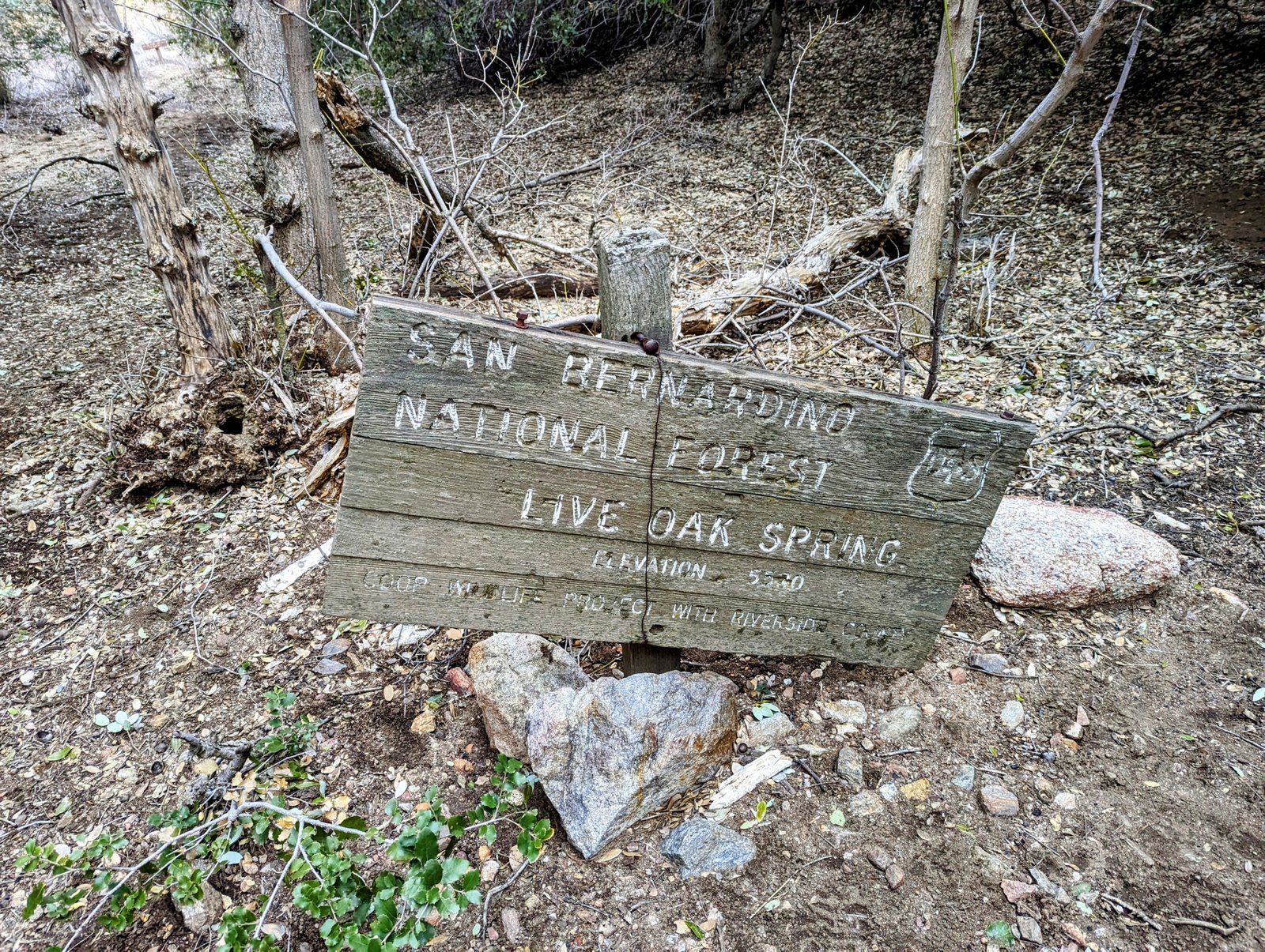
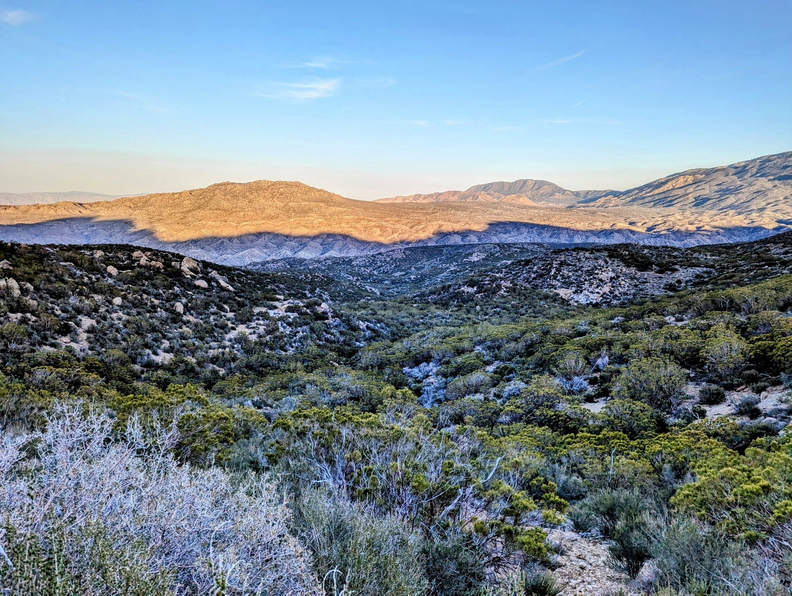
In about two and a half hours I made it to the Live Oak Spring Trail, where I turned off the PCT.
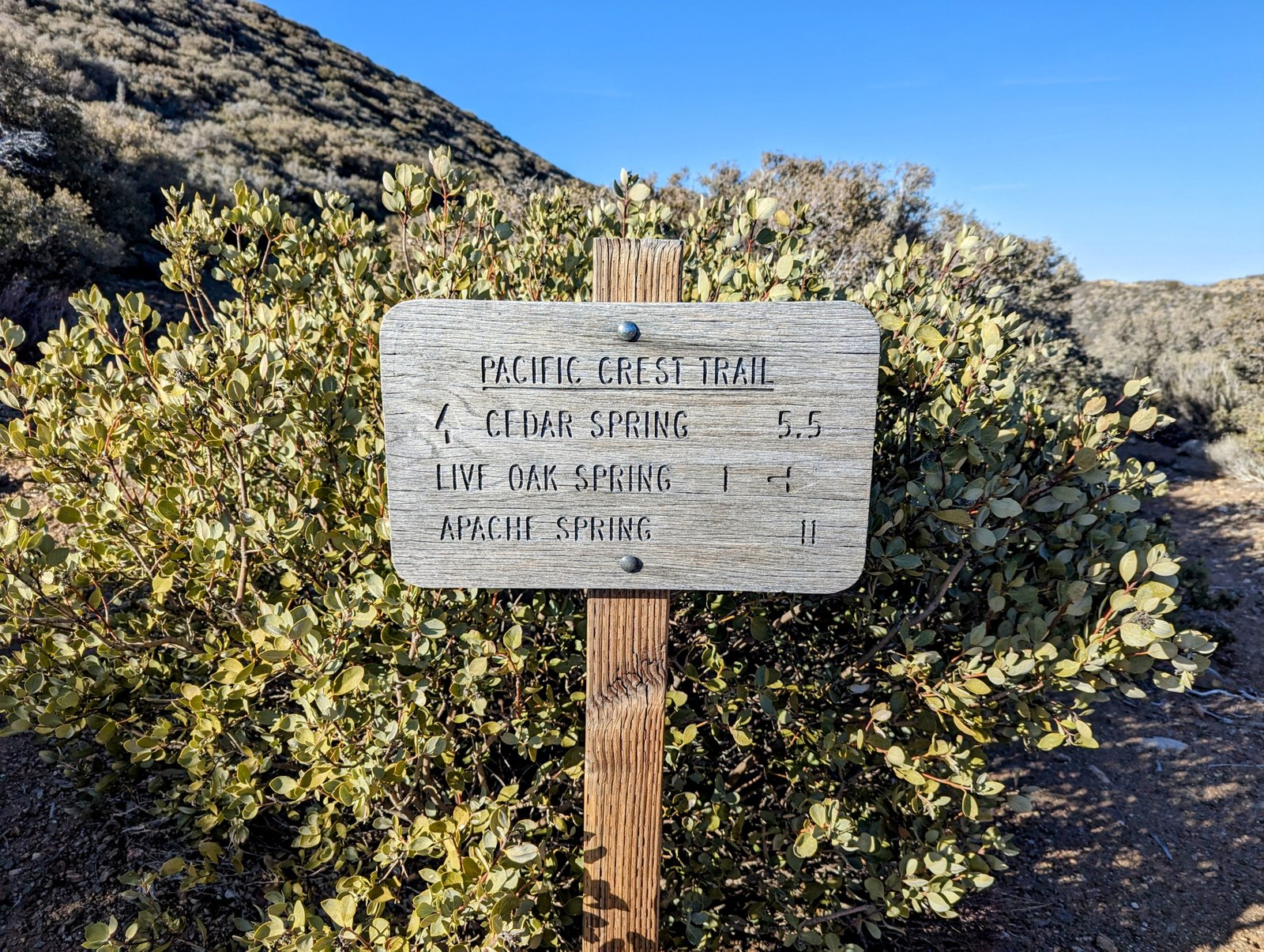
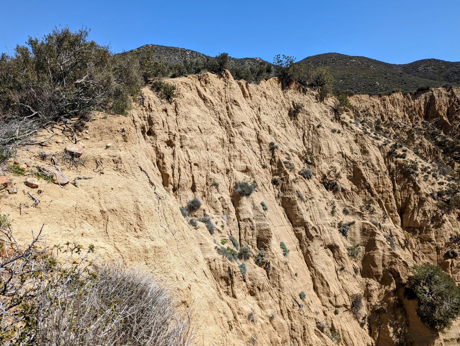
The trail down to Live Oak Spring was well maintained but I started to get a vibe.
I originally planned to camp at Live Oak Spring, but I had some daylight left so I decided to press on.
And then the trail disappeared.
At this point it basically follows the ravine, which would be fine if it were not filled with water.
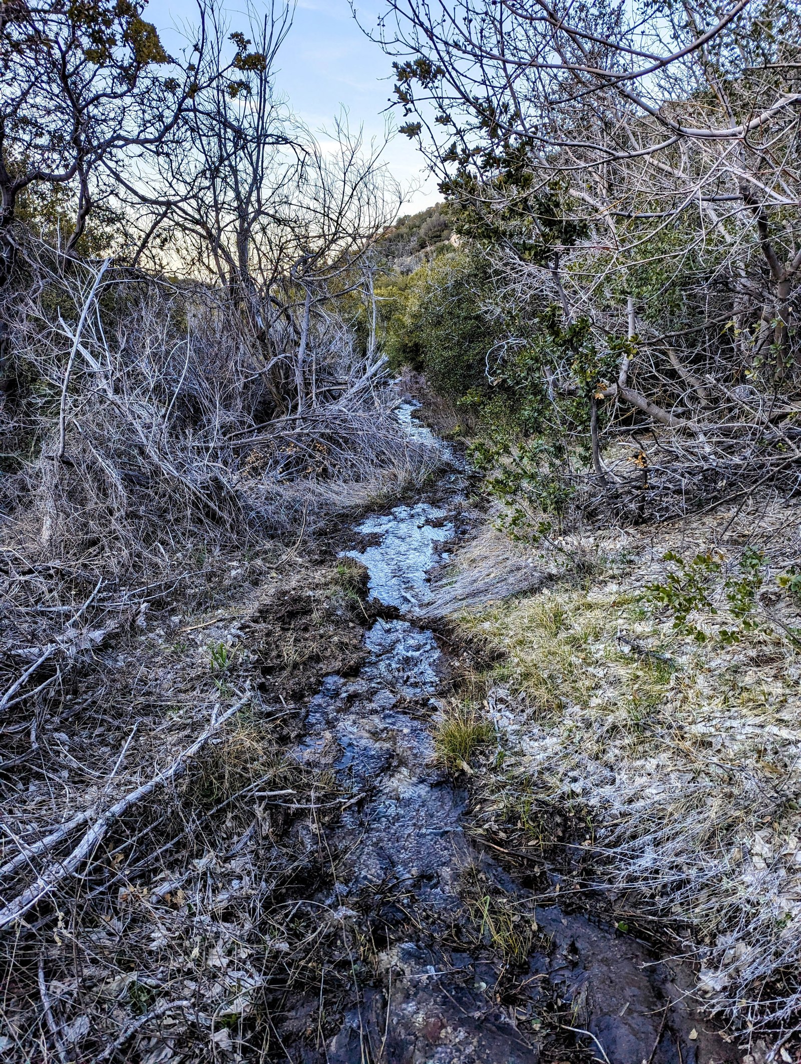
But then it hits a thicket and a barbed wire fence. I spent 20 minutes bushwhacking around this and found the trail again.
But then it makes a northbound turn out of the ravine. Without GPS I would have missed it.
The trail is actually not too bad at this point as it follows contours around several gullies.
But then it heads down a ridge where Nature has basically completely reclaimed it.
It was definitely a bushwhack, but not too bad. I used the satellite image on my GPS to stay out of the worst parts, and I followed open washes and meadows when I could.
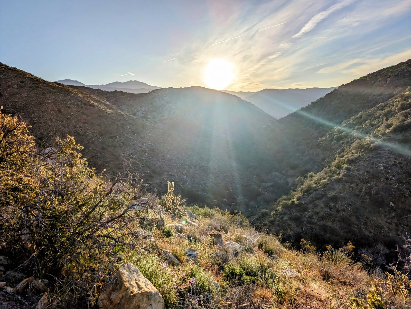
About half an hour after sundown I found a flat spot and called it a night.
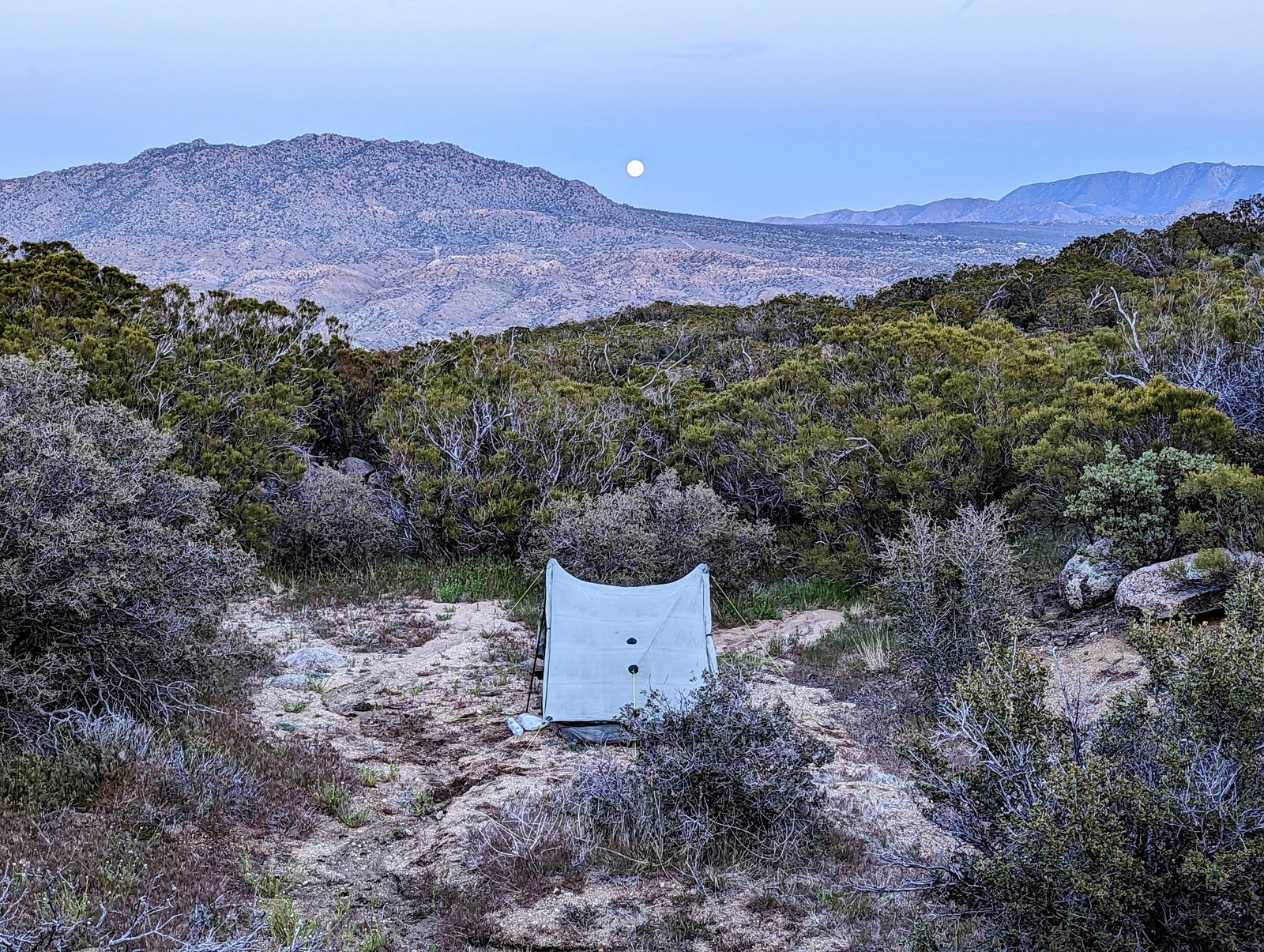
It was a lovely site!
But I texted my GPS coordinates to my wife.
Just in case.
