8 September 2023
Twin Lakes Trail to Lake 10410
(8 miles, +4,500/-900 feet).
Ahhhh….. September in the Sierra!
Absolutely no rain in the forecast the next seven days, so I have to get out there and see how much snow is left from this crazy year.
My plan is to start on the west side in Sequoia National Park at Lodgepole. From there I will follow the Kings Canyon High Basin Route for a few days and then exit one of the main passes on the east side.
But I’ve been looking at the new Copernicus satellite images and I’m not sure if I will be able to get over possible snow cornices on Coppermine Pass or Longley Pass.
We’ll see!
Logistics were a little complicated for this trip since I wanted to start on the one side of the Sierra and end on the other.
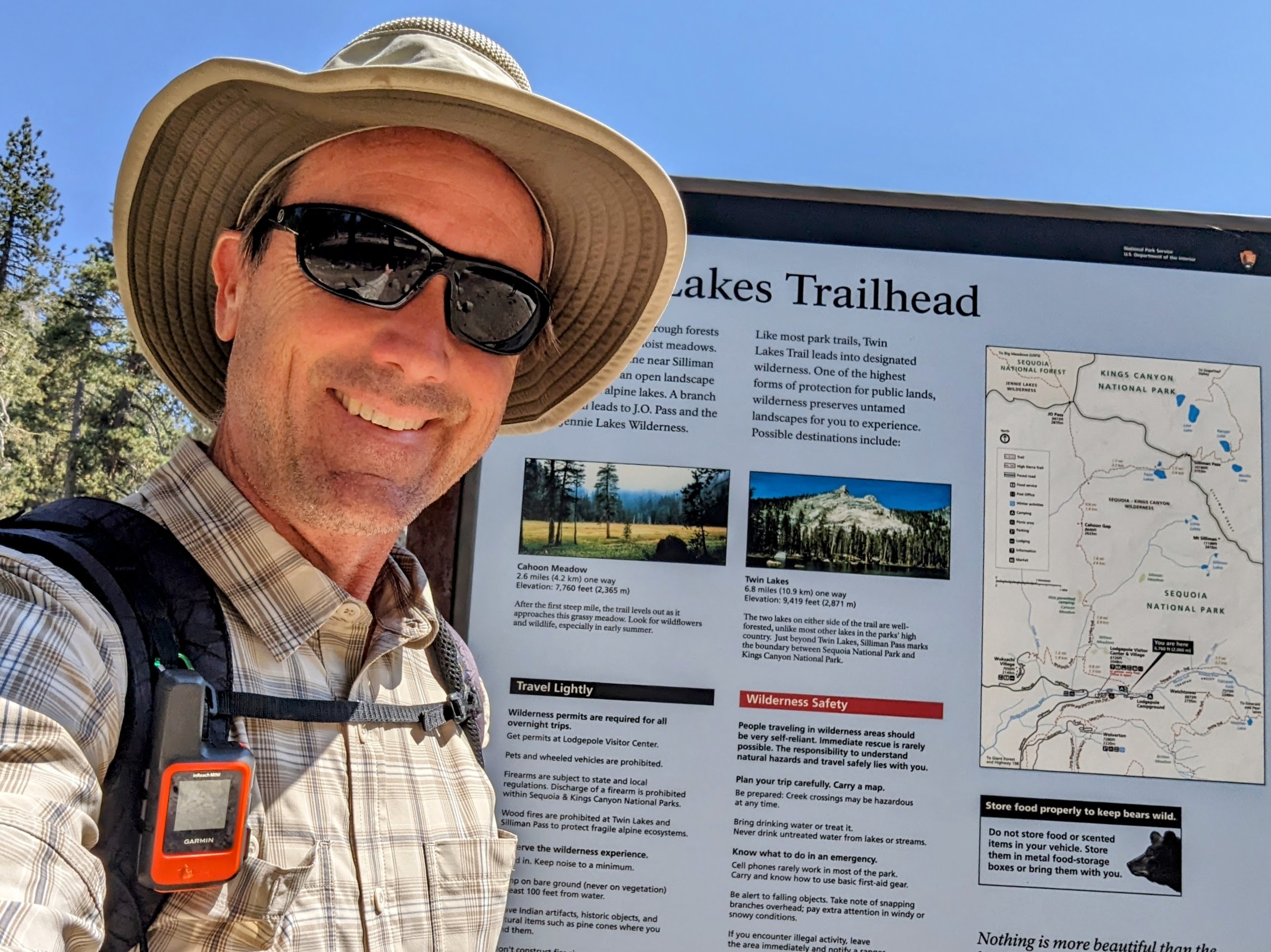
I rented a car in San Diego and drove to Los Angeles last night (where I went to a concert at the wonderful Teragram Ballroom). Then this morning I got up early to drive to Visalia. I turned in my rental car, then walked to the Transit Center to get the Sequoia Shuttle up to Giant Forest. And from there I got a shuttle to Lodgepole to get my permit.
The ranger was a hoot! She gave the most entertaining LNT talk I’ve ever received (apparently unicycles are not allowed in wildernesss).
Then I walked over to the trailhead.
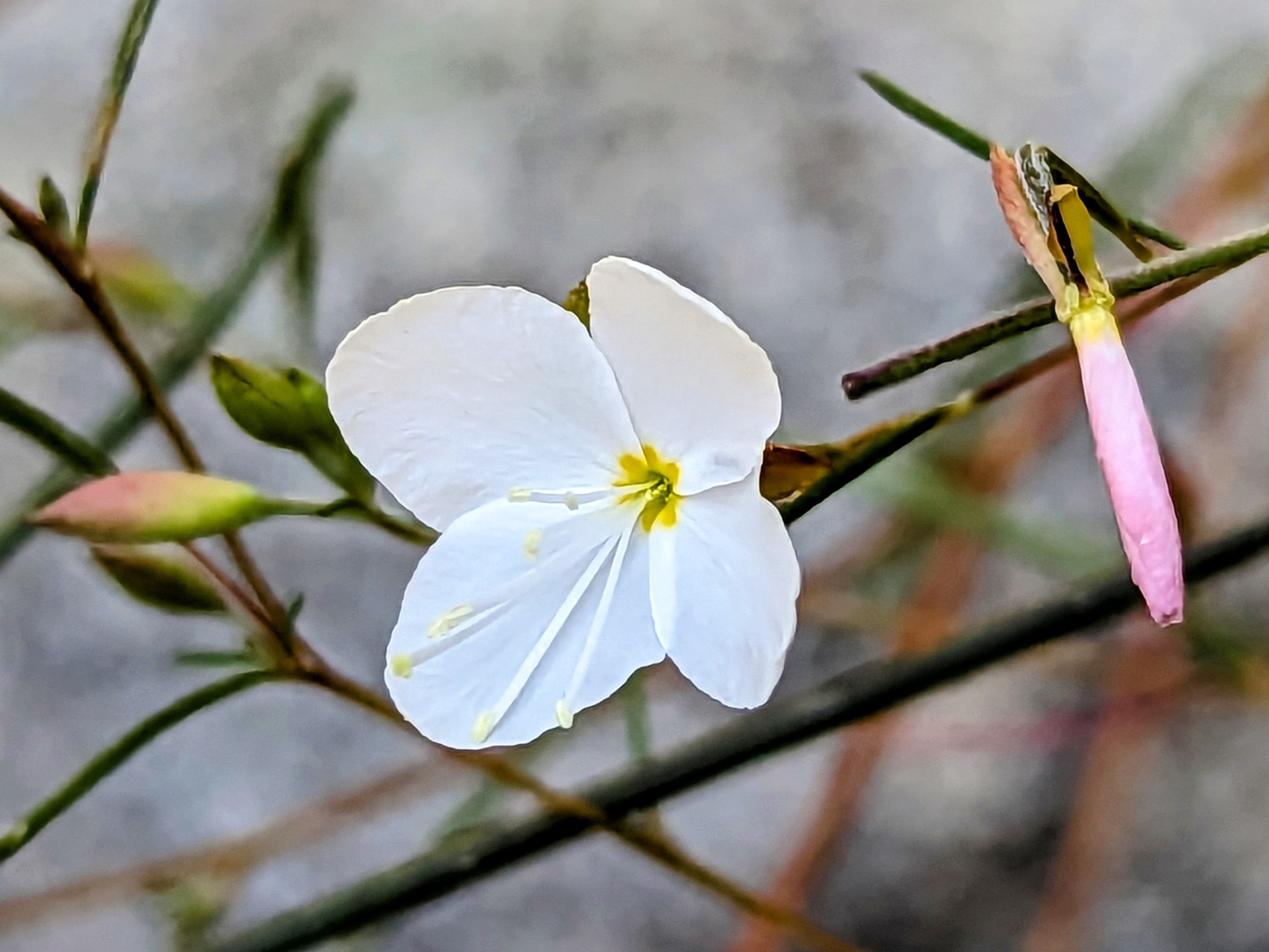
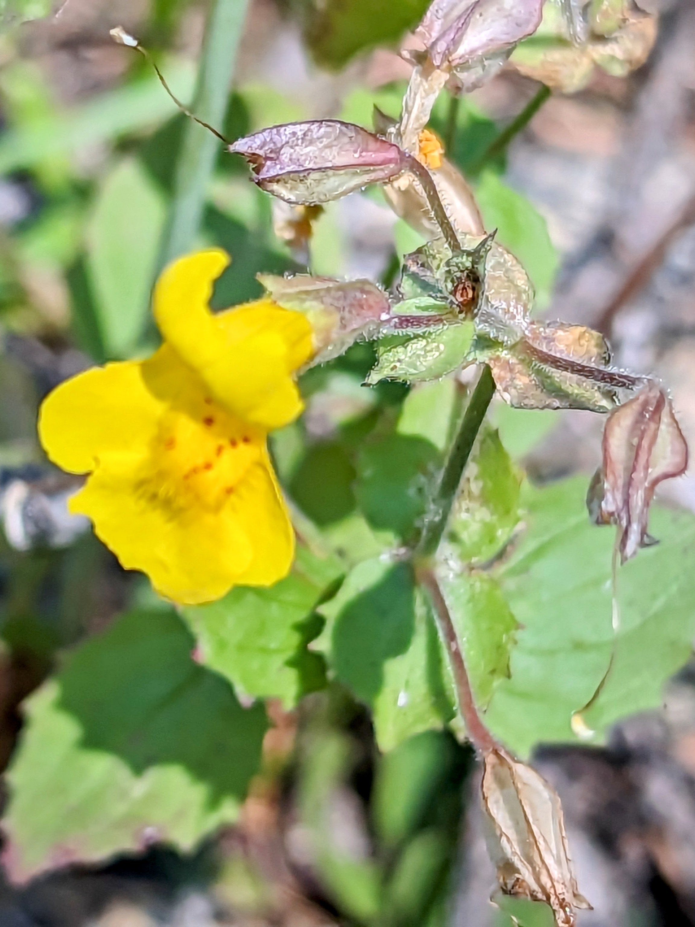
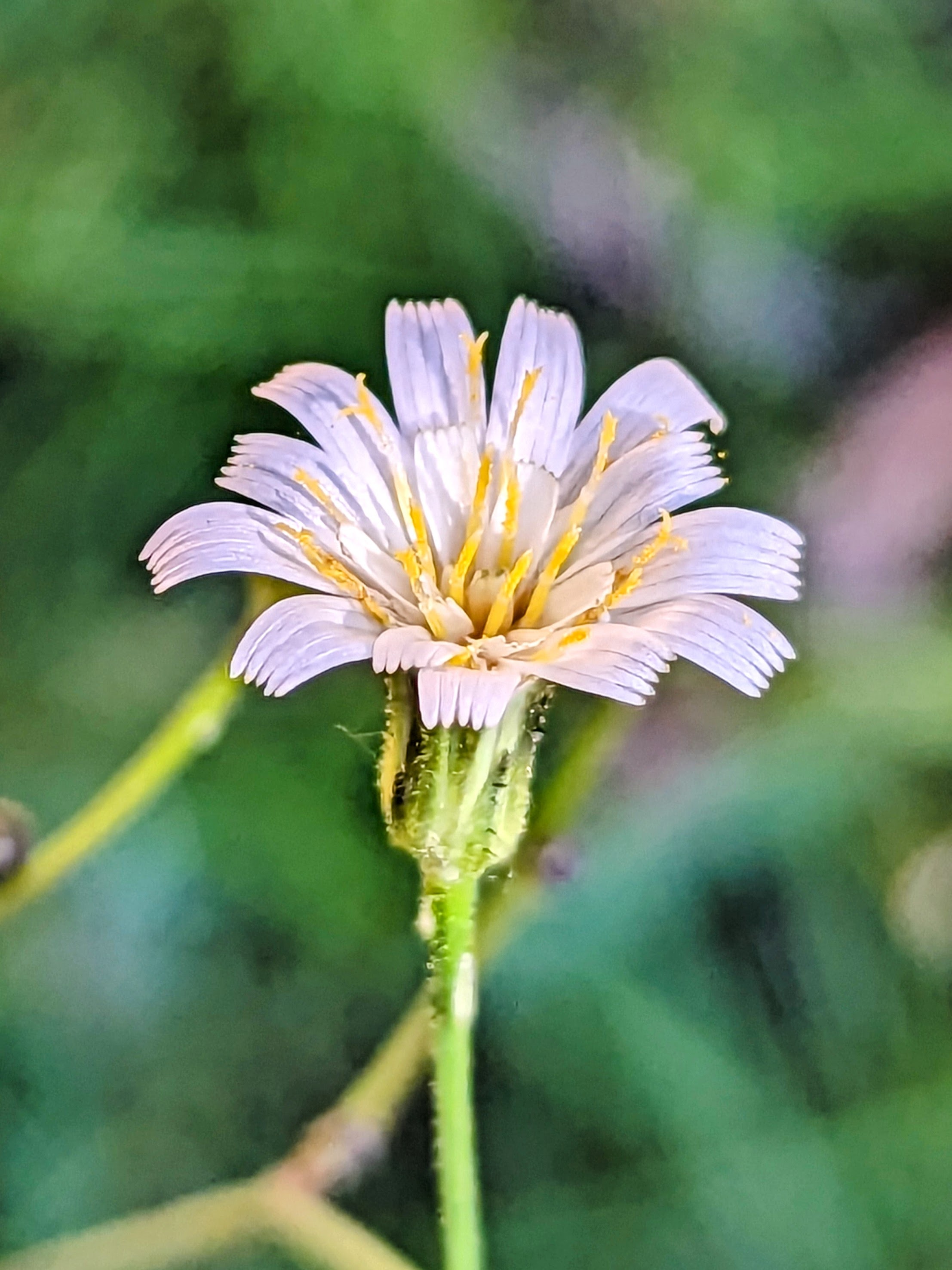
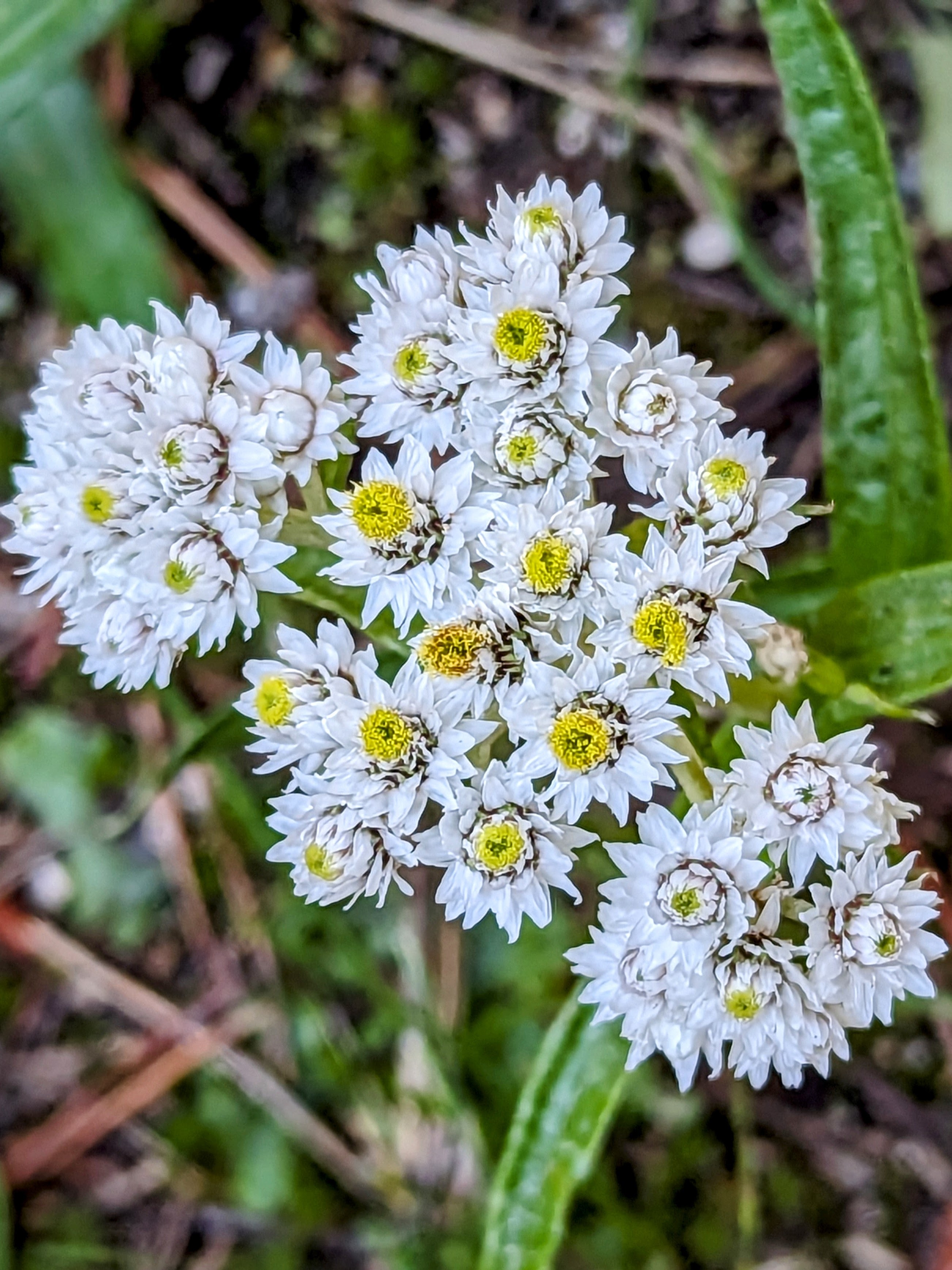
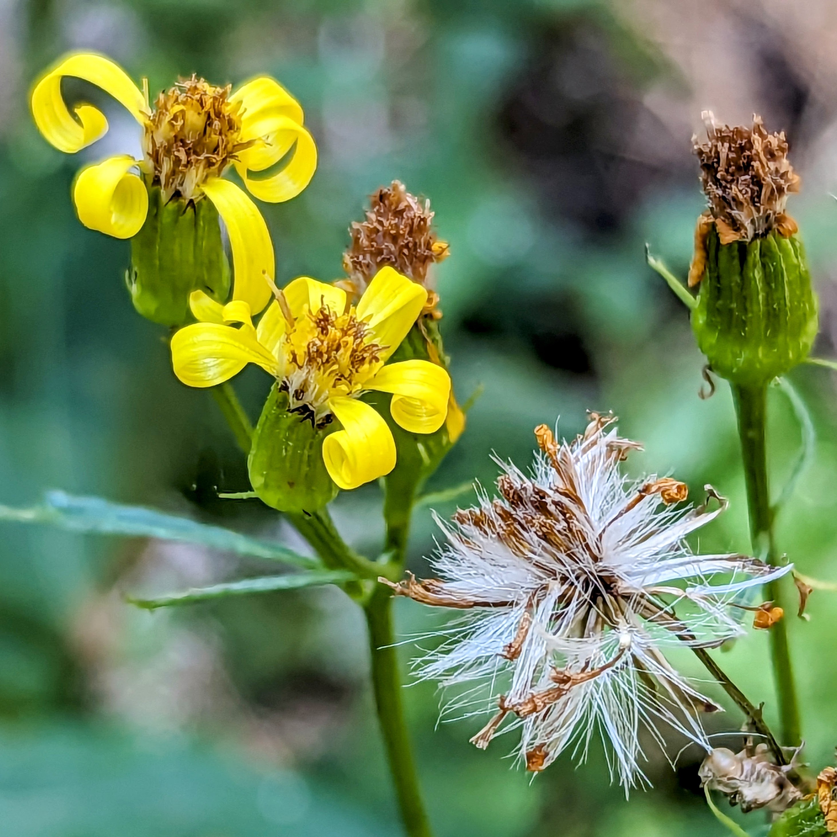
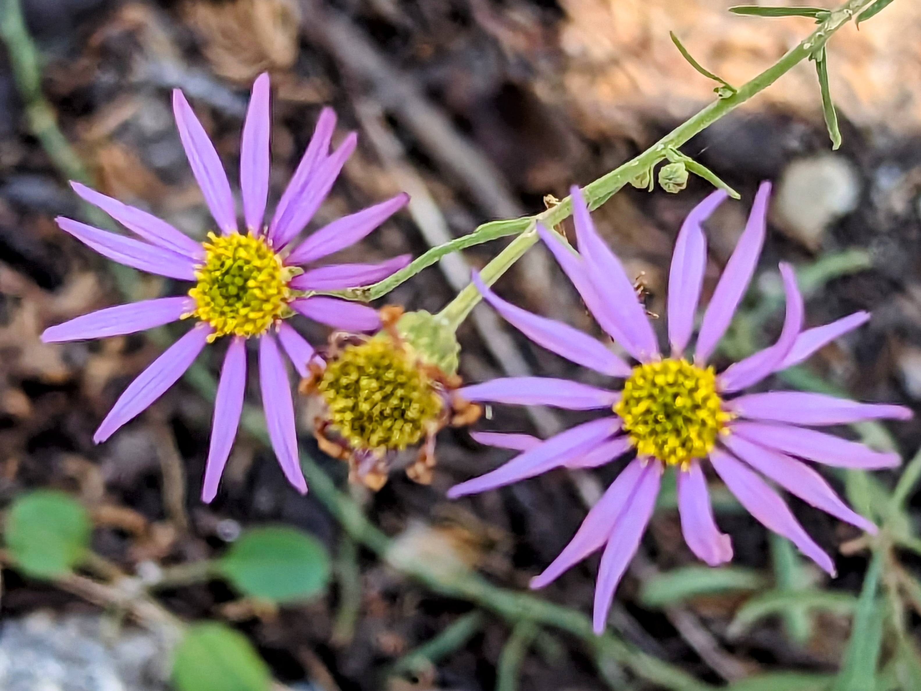
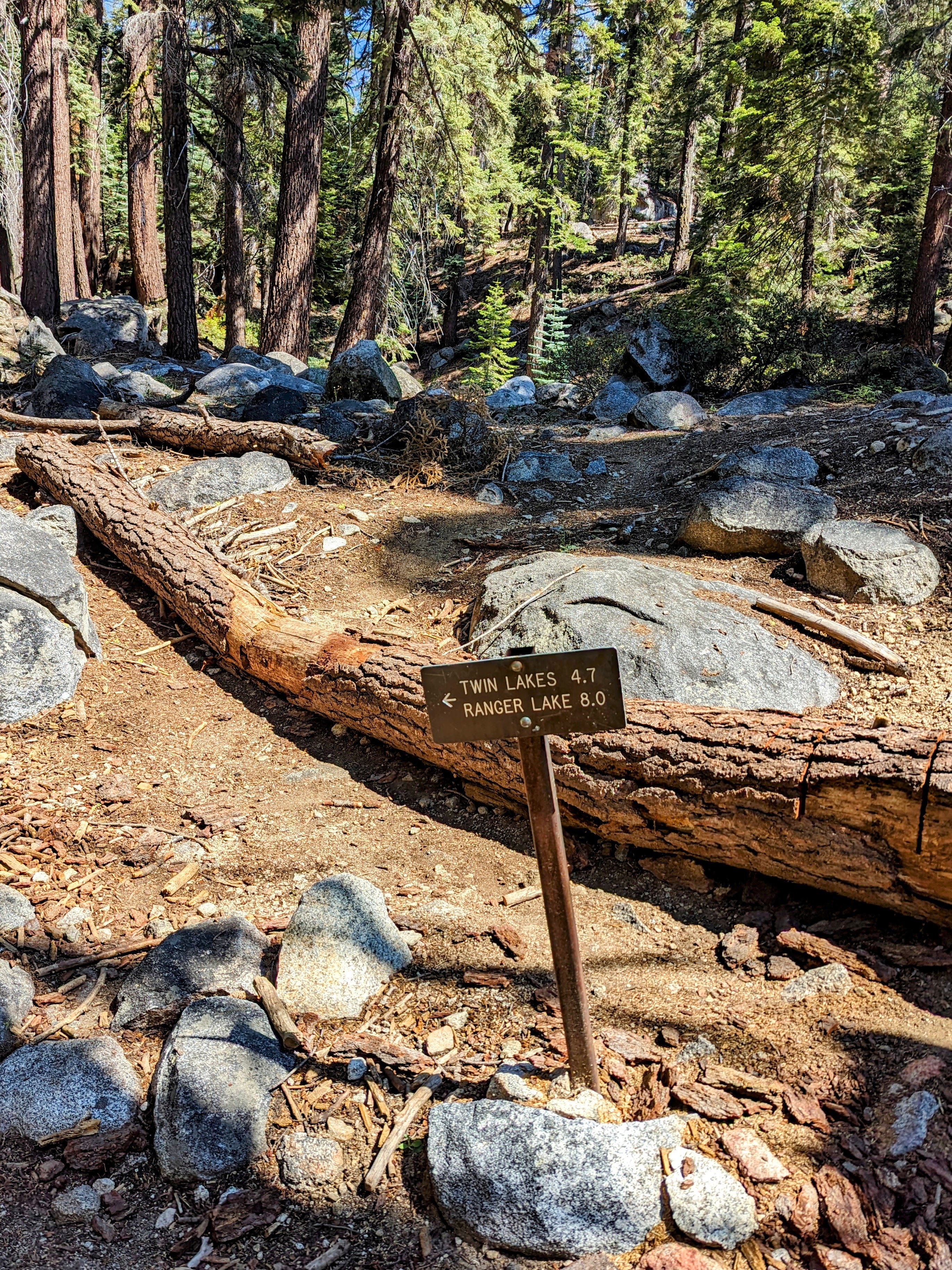
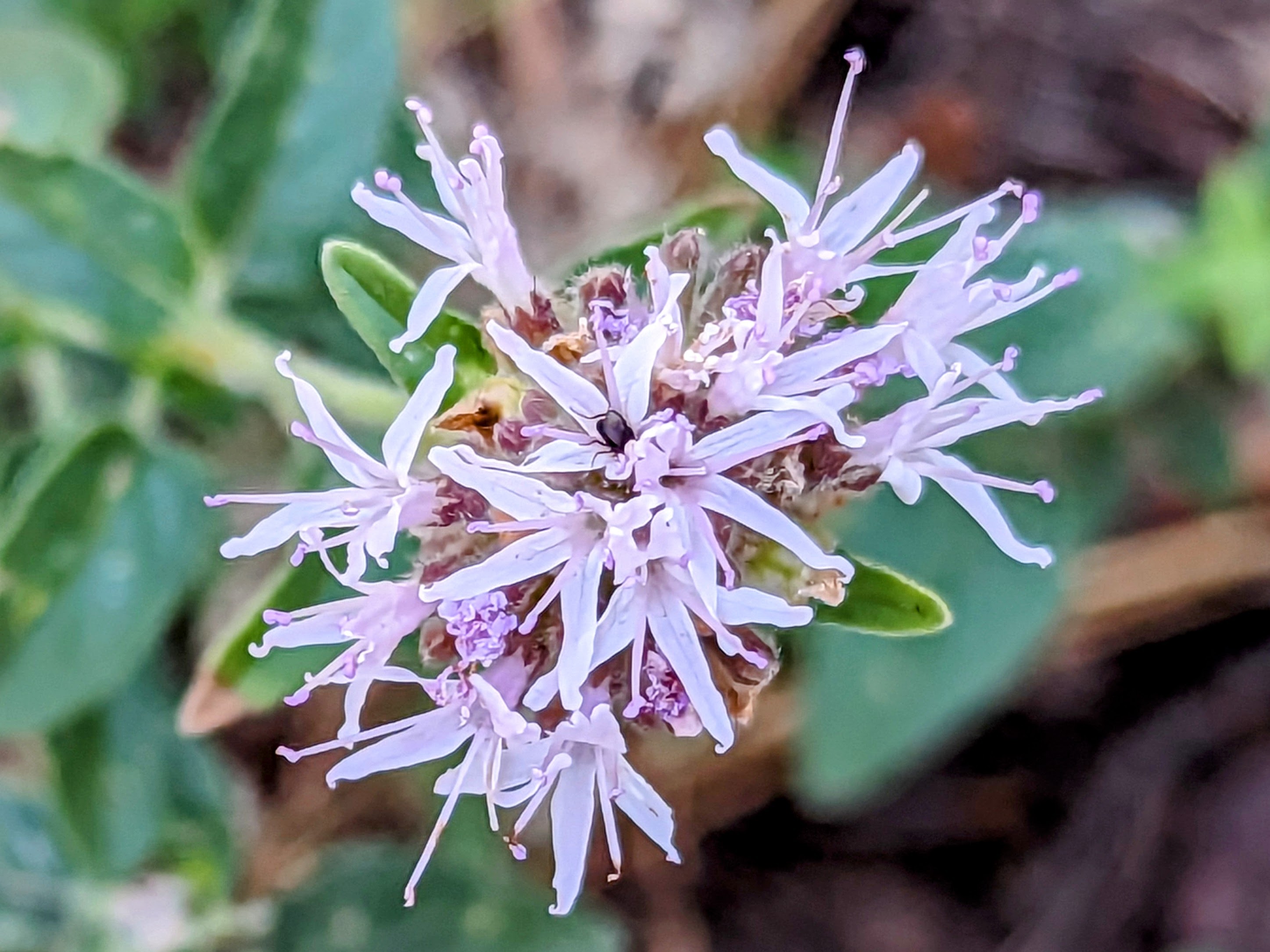
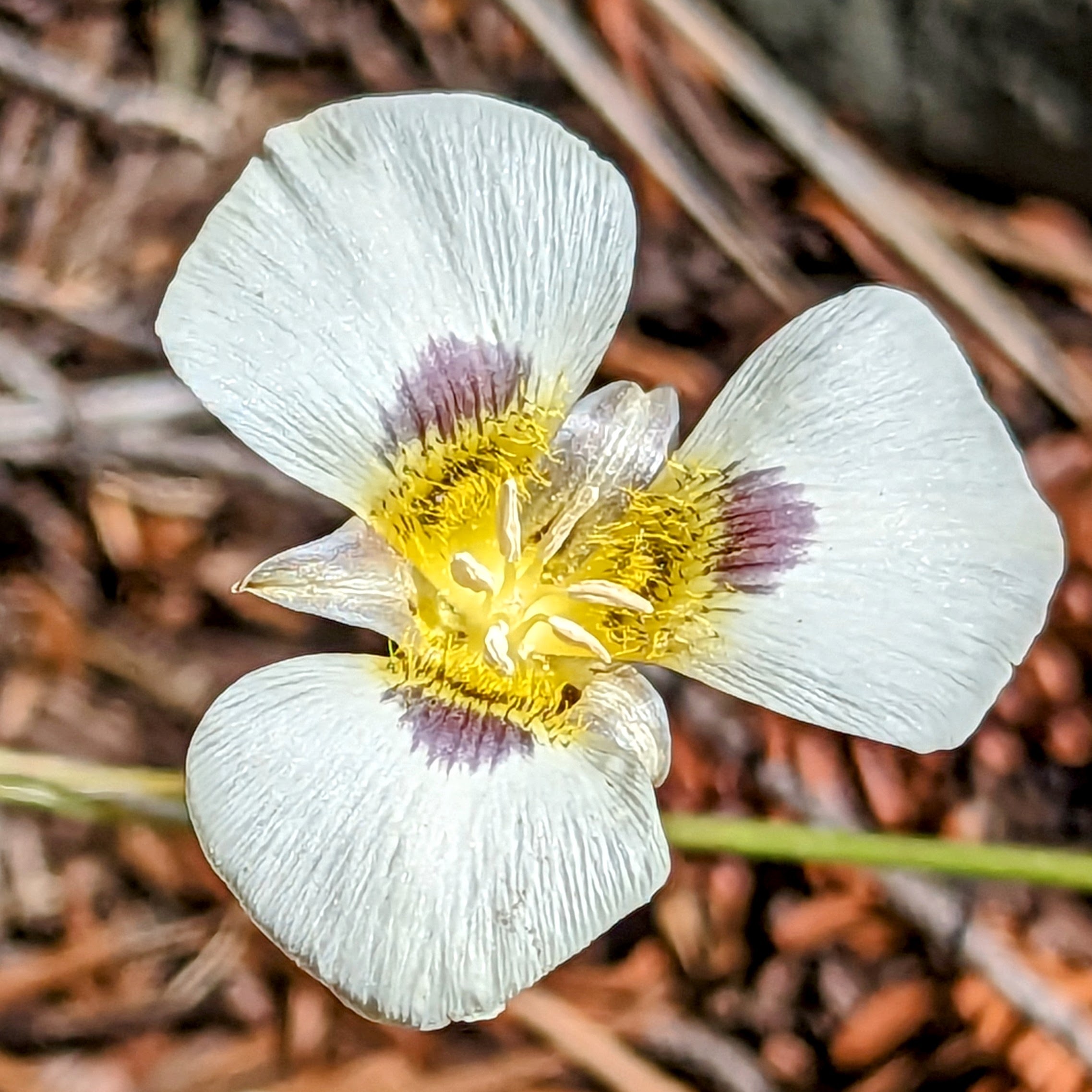
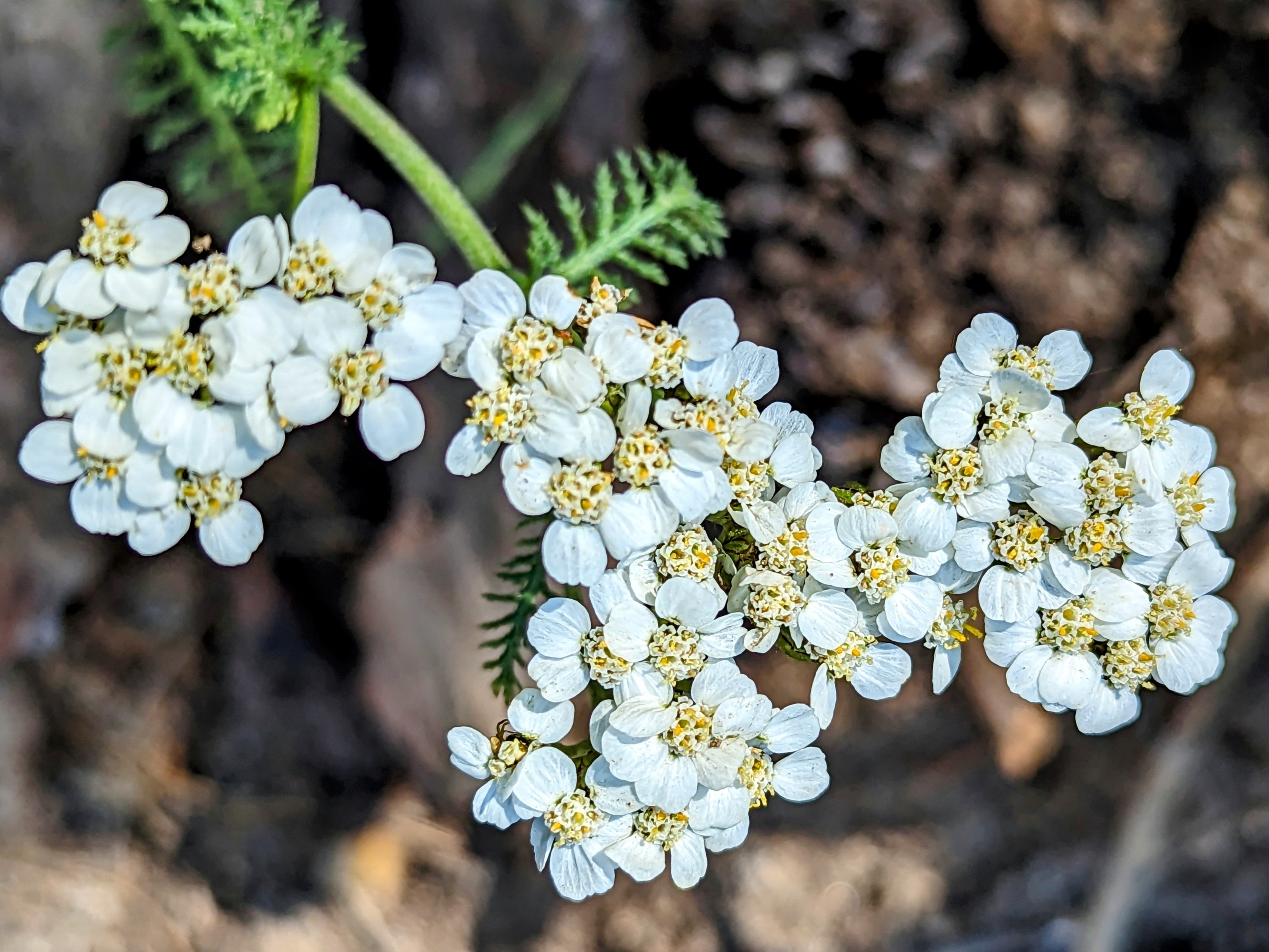
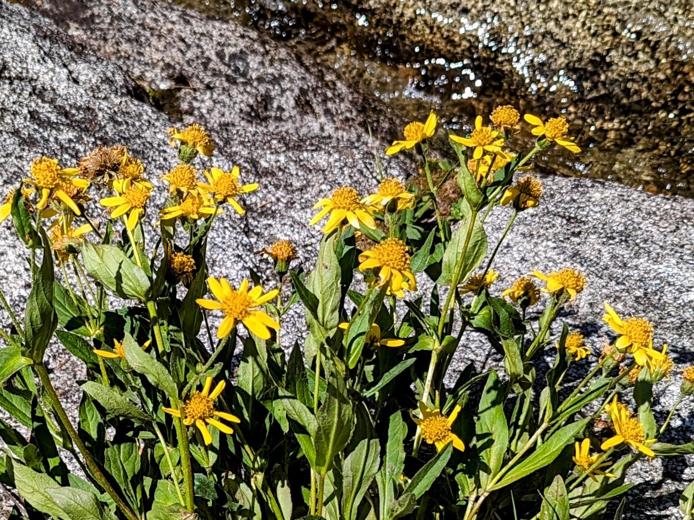
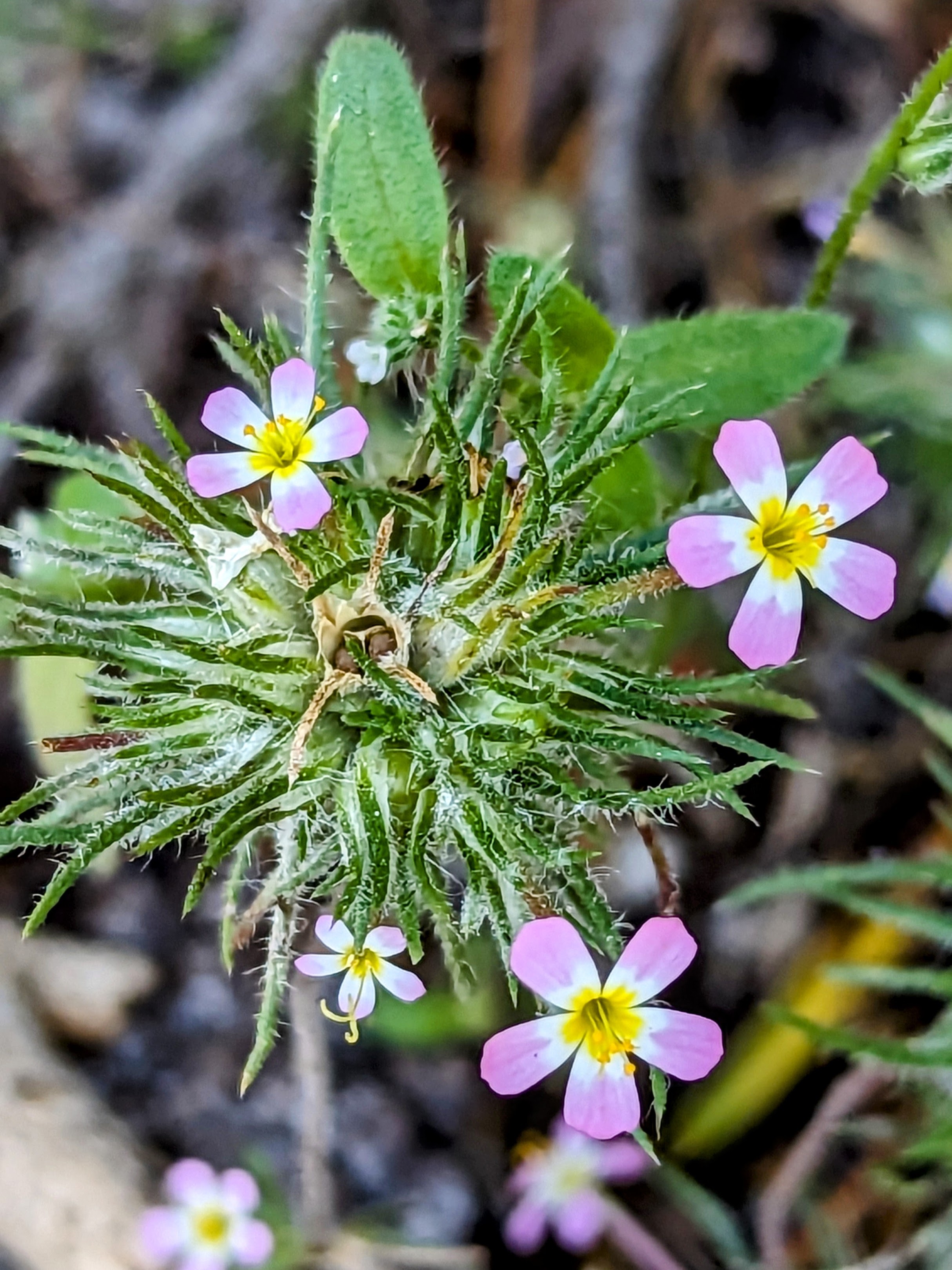
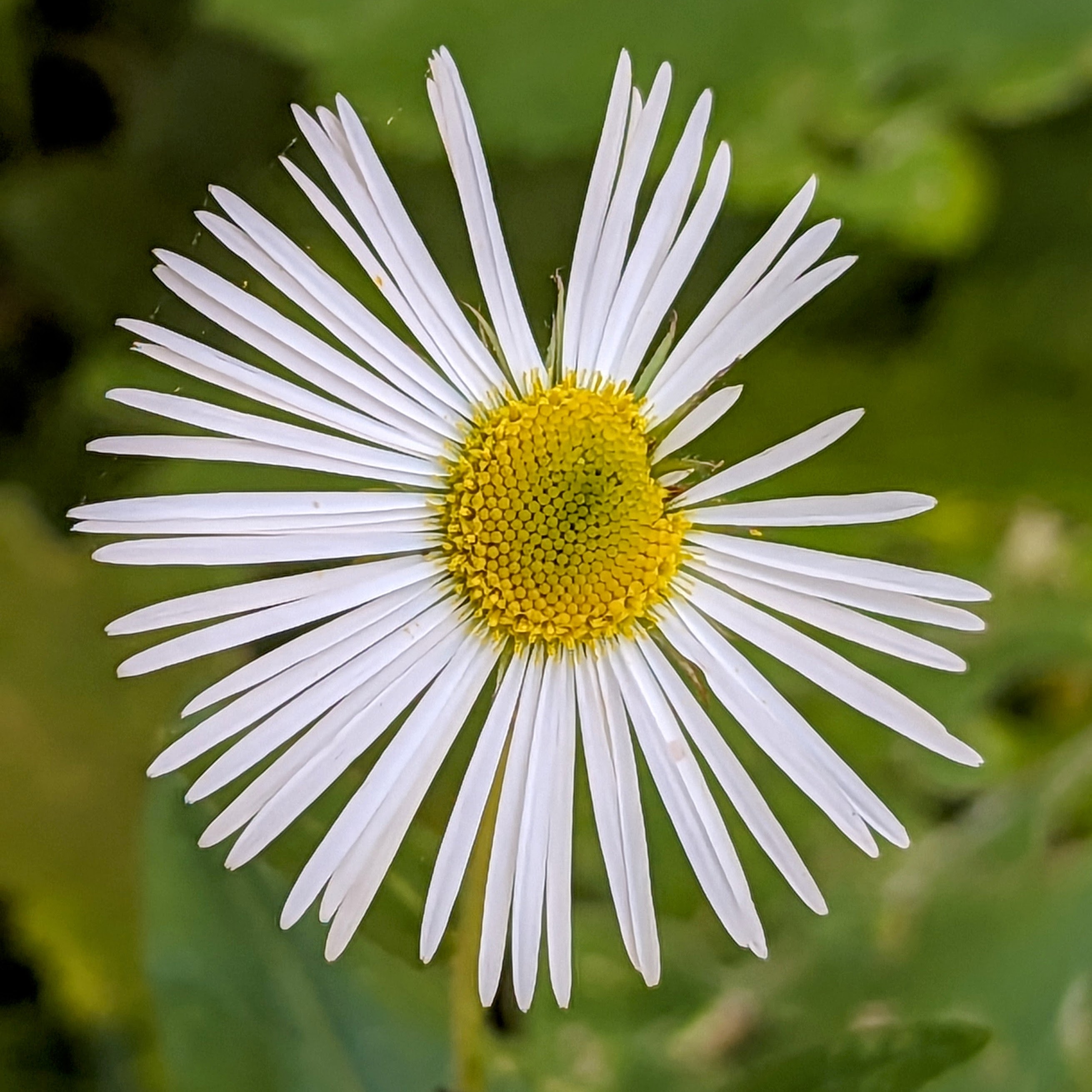
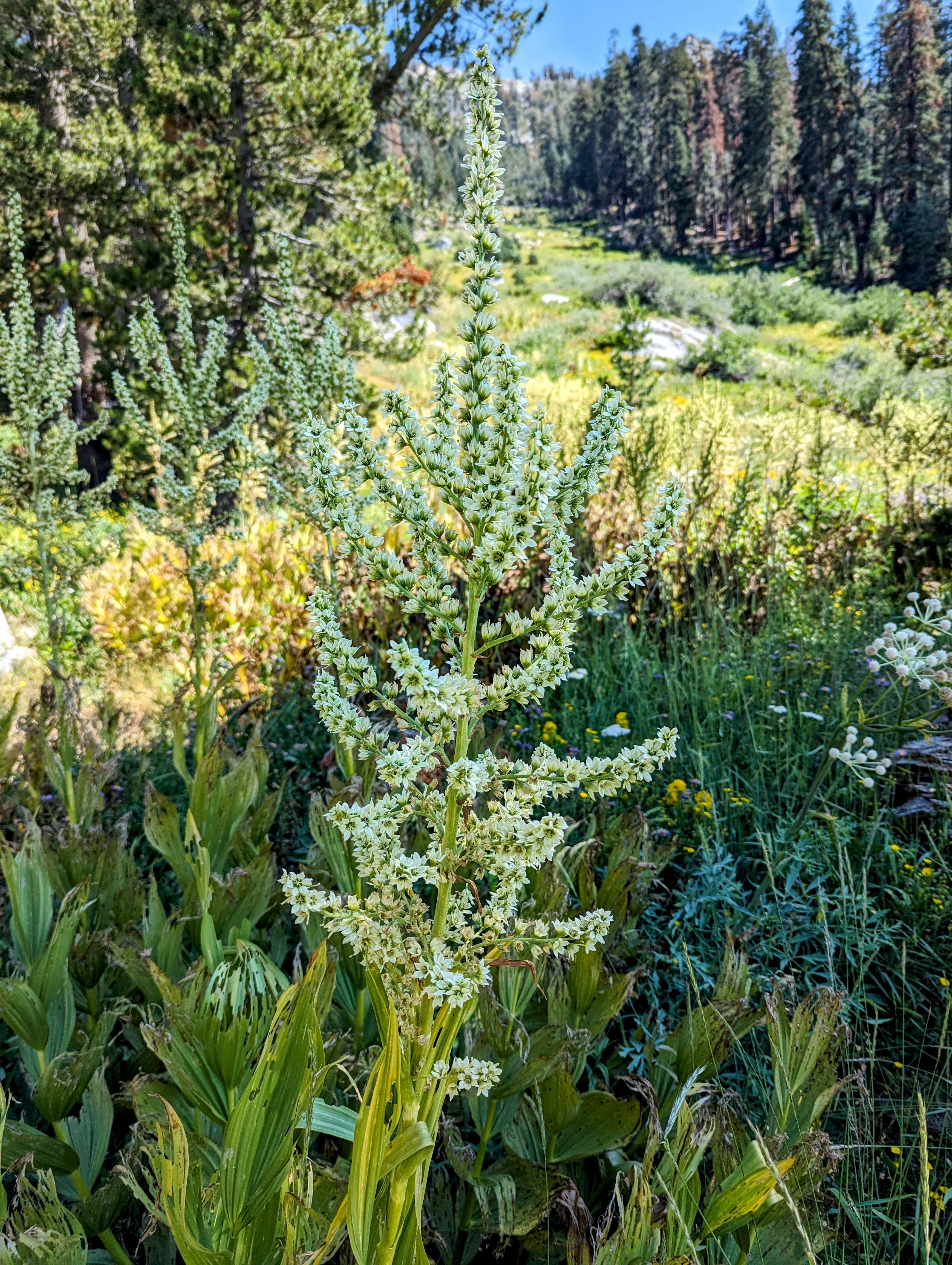
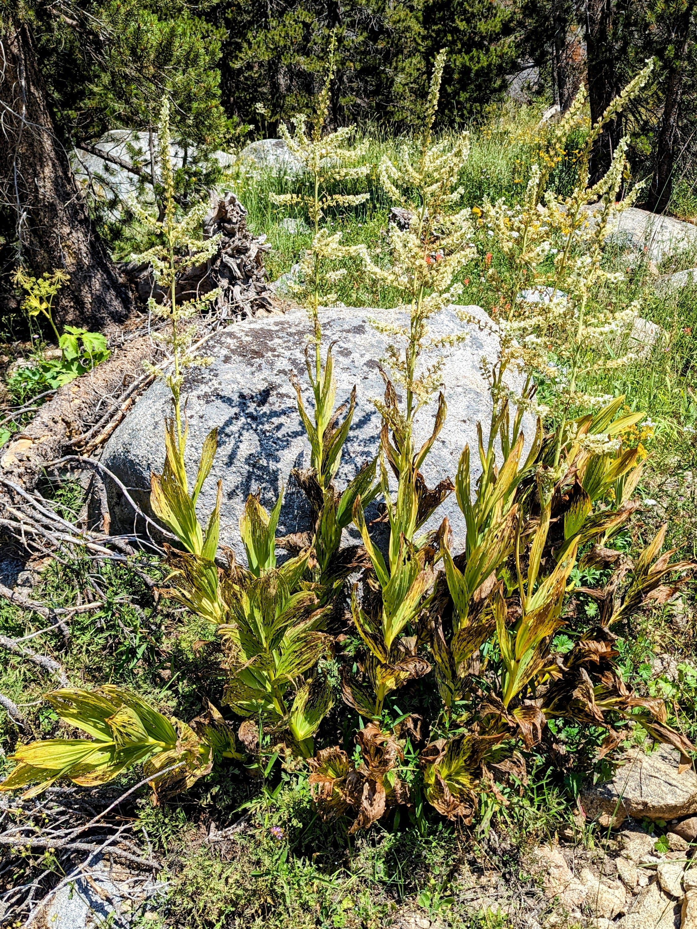
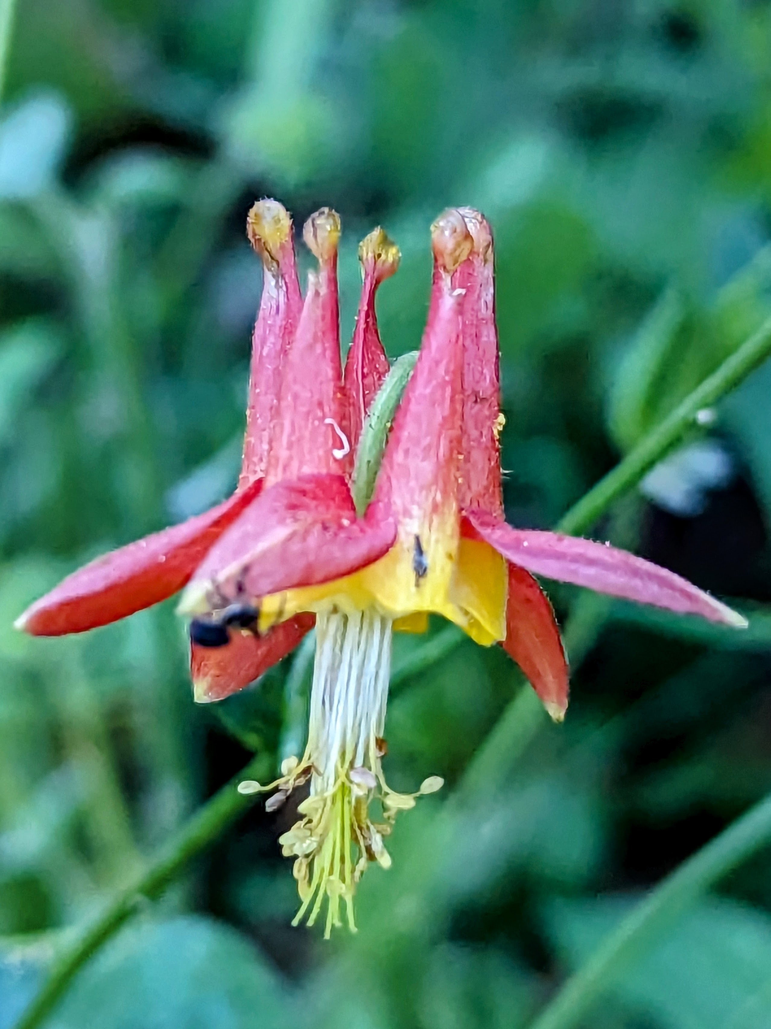
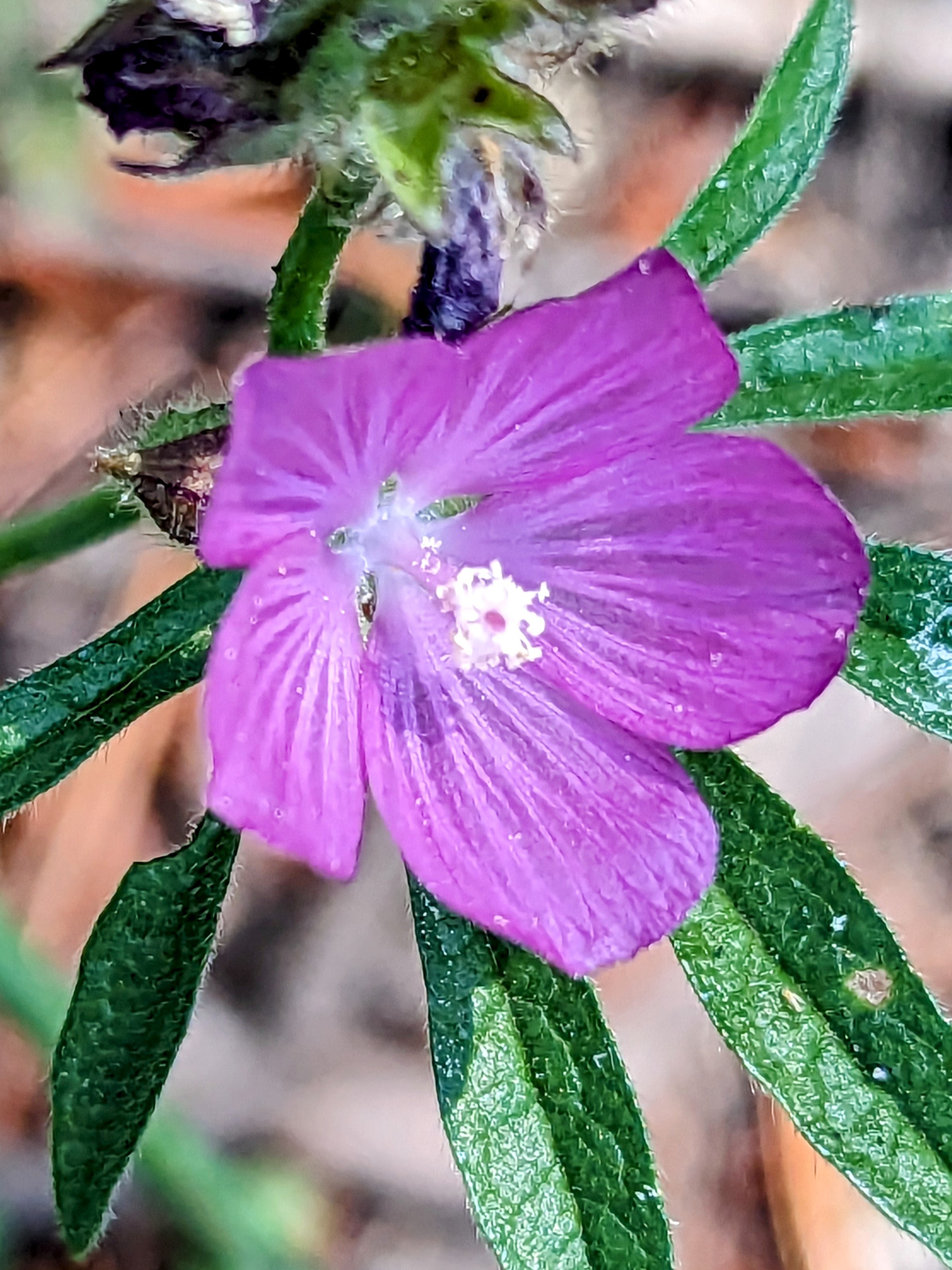
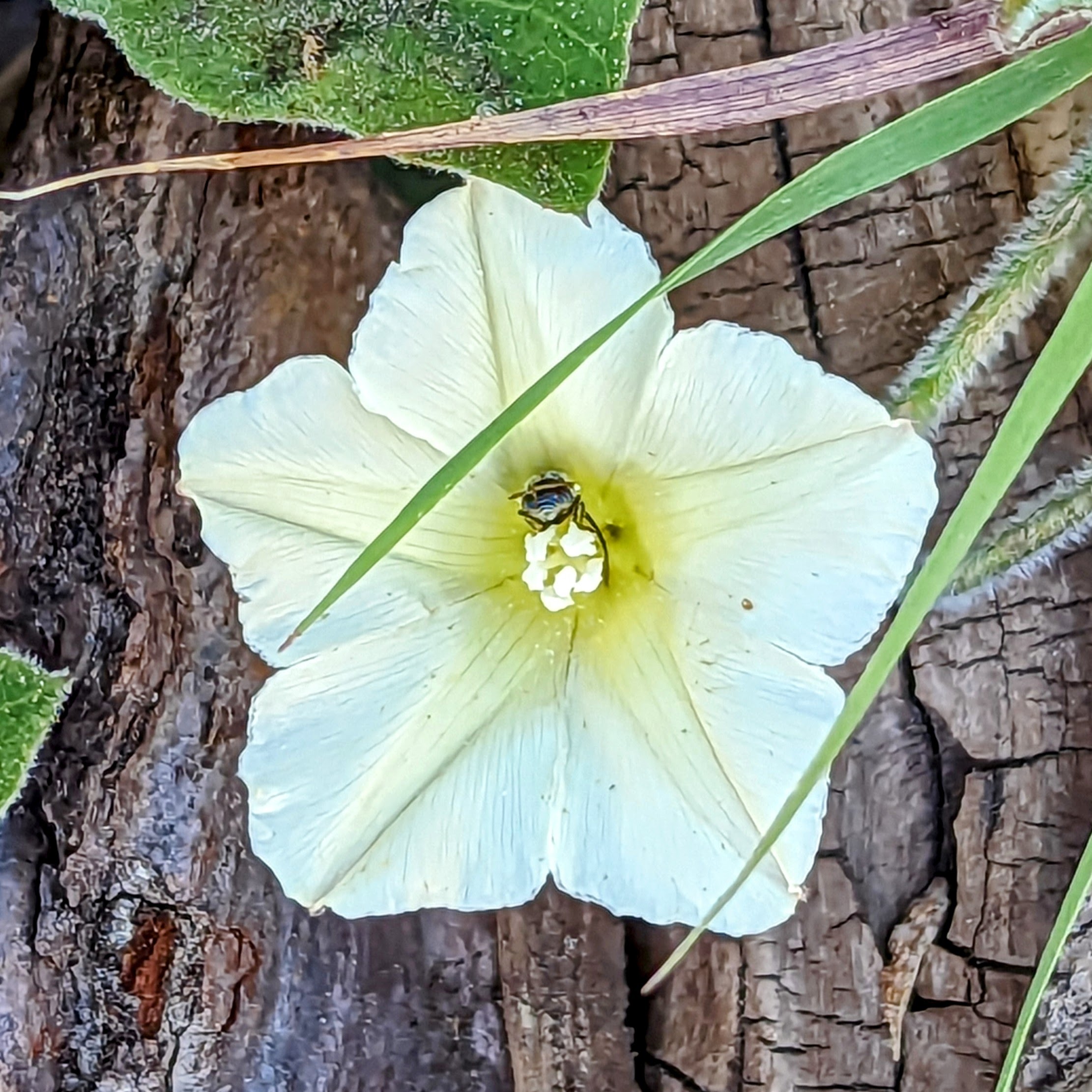
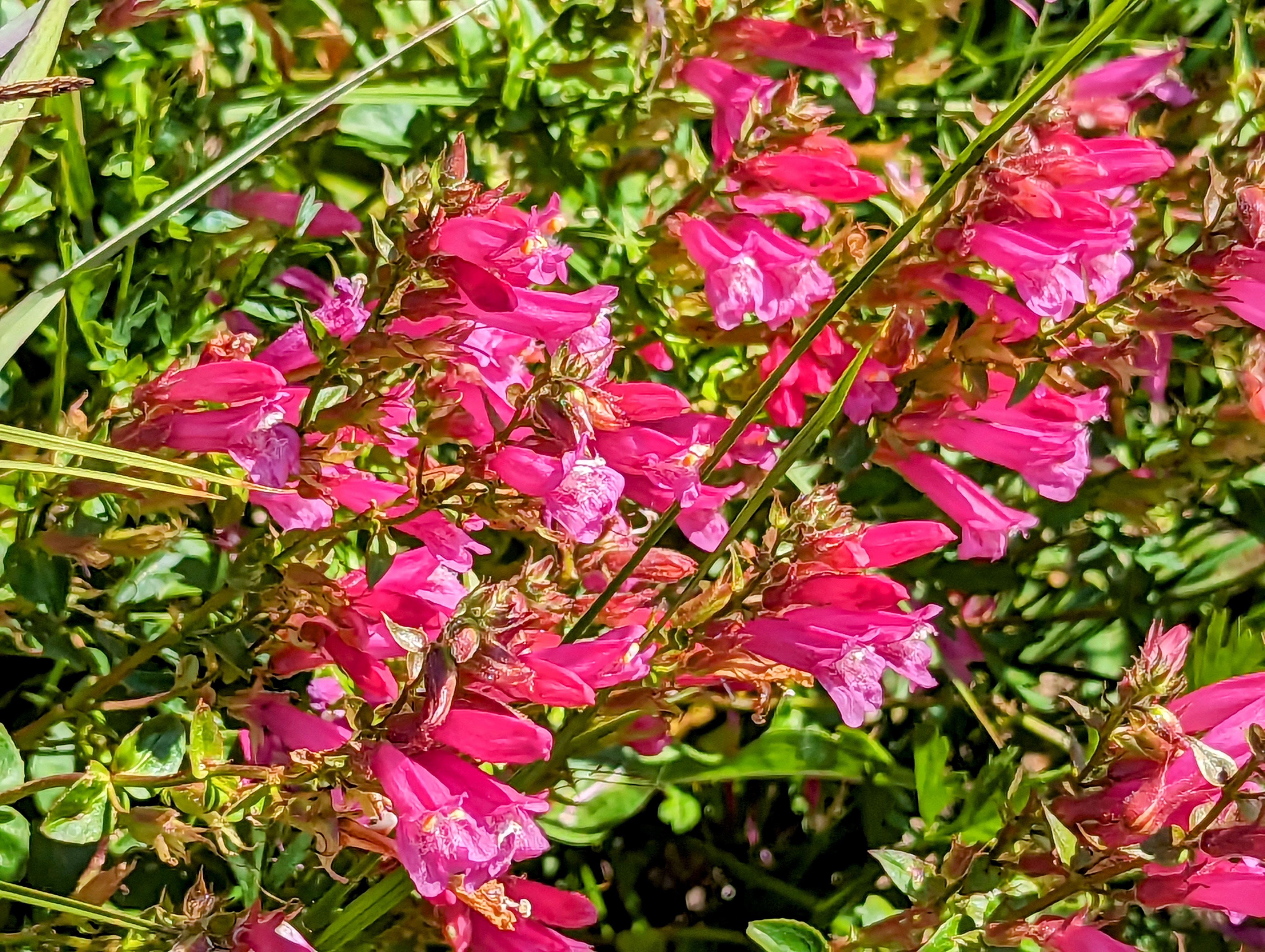
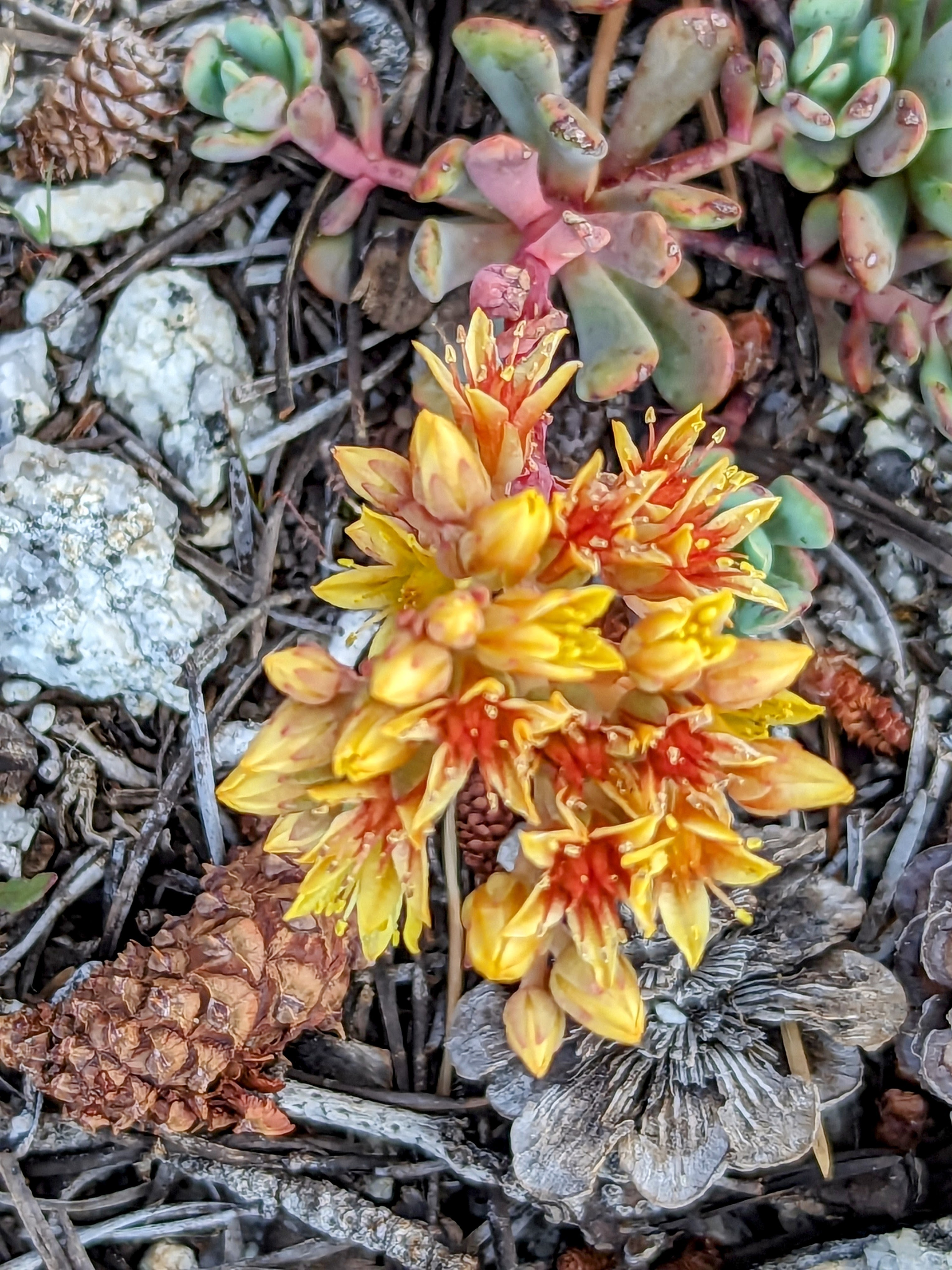
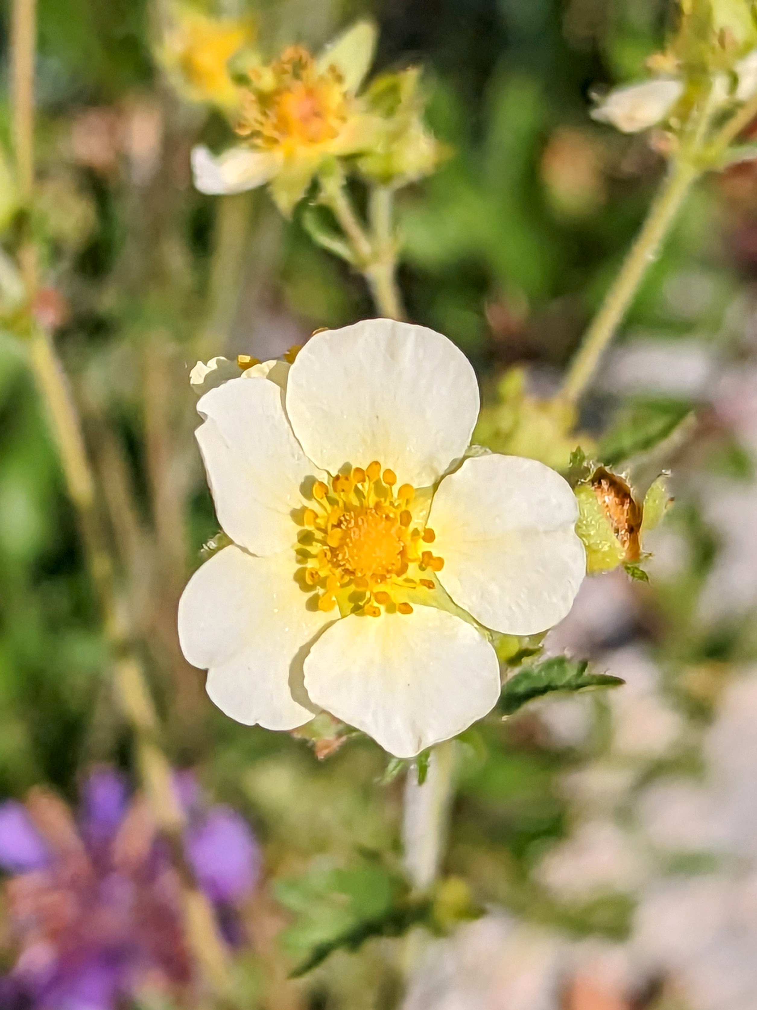
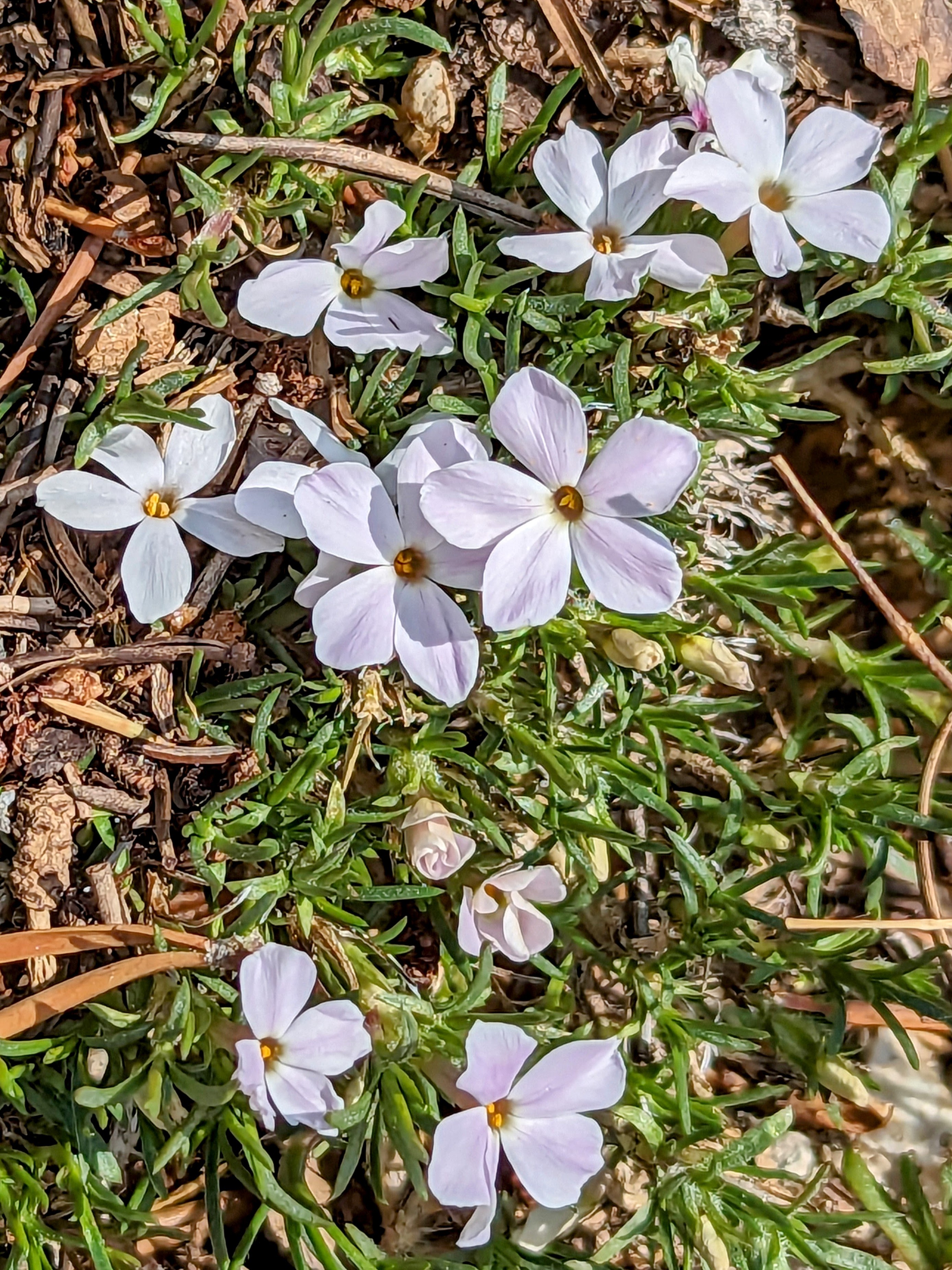
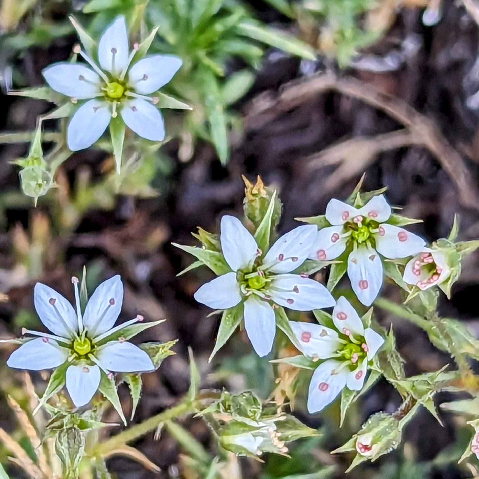
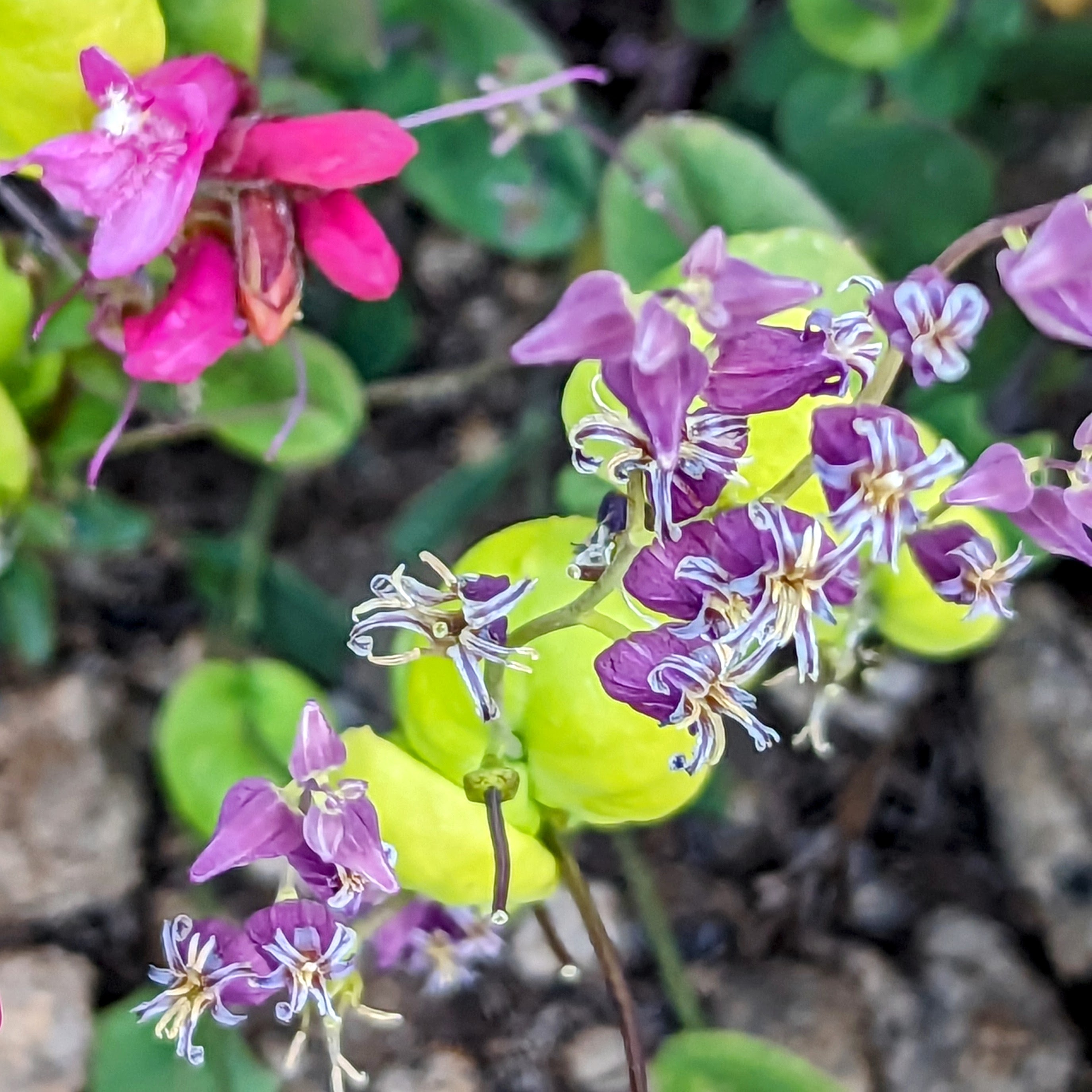
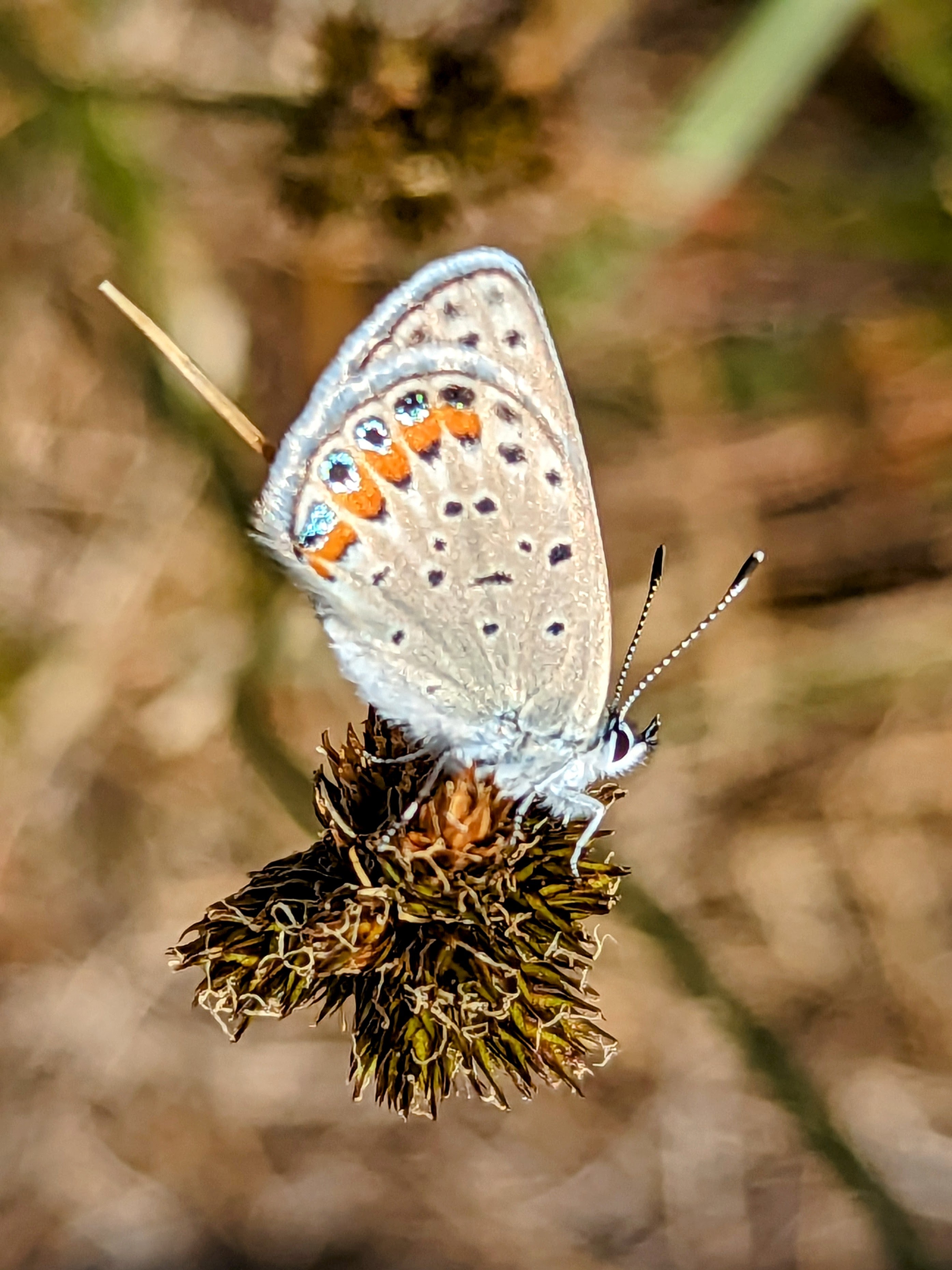
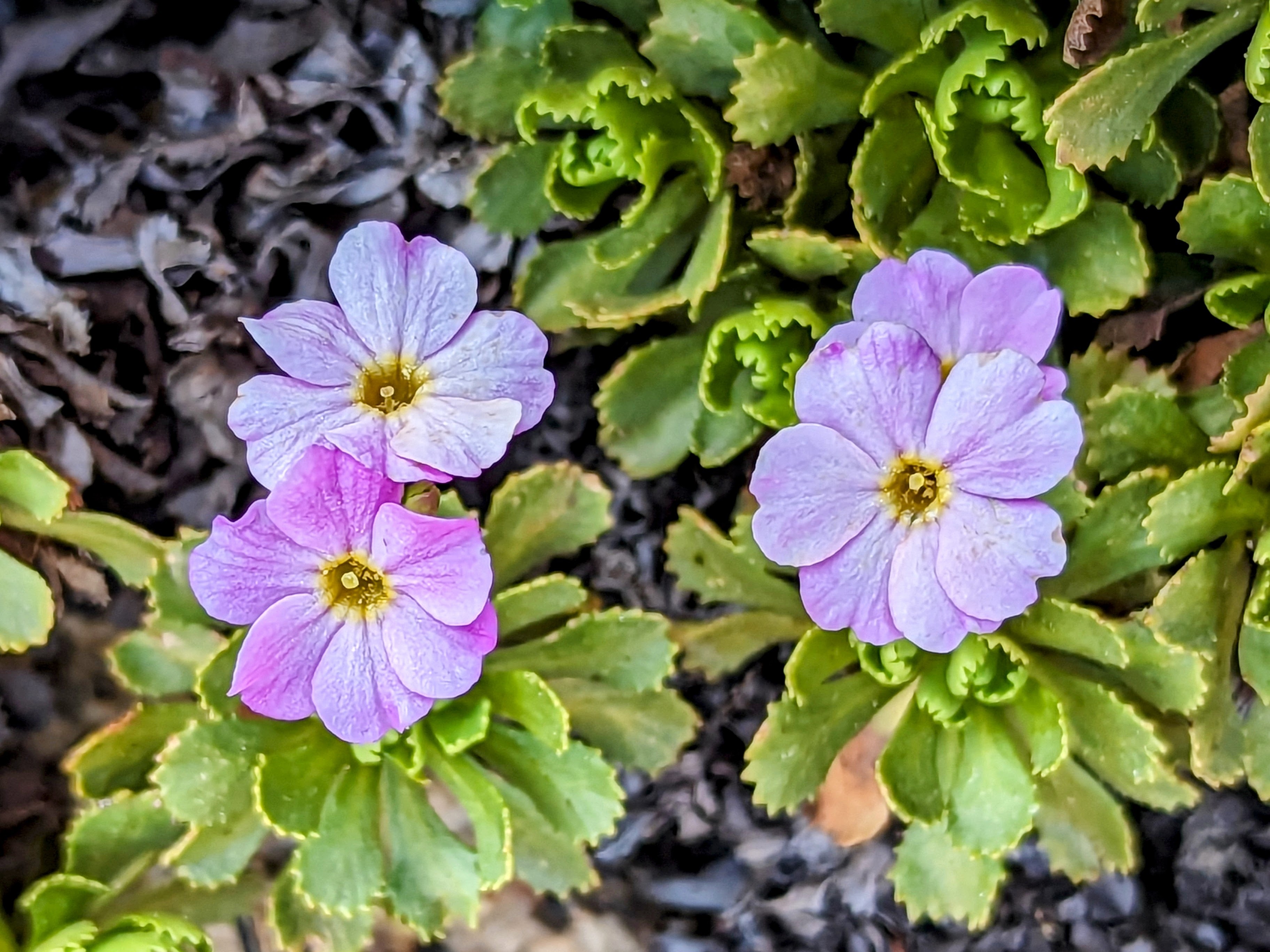
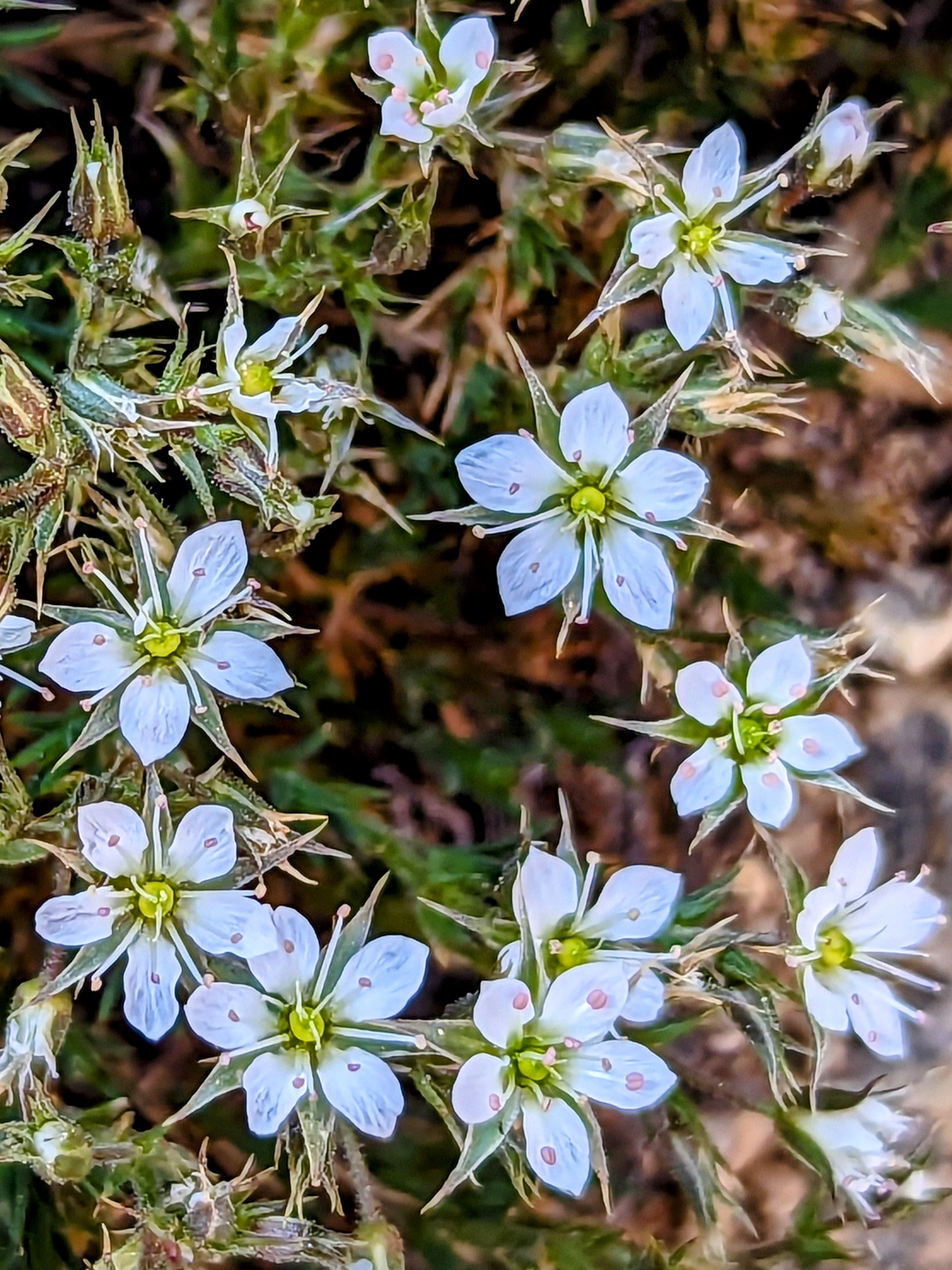
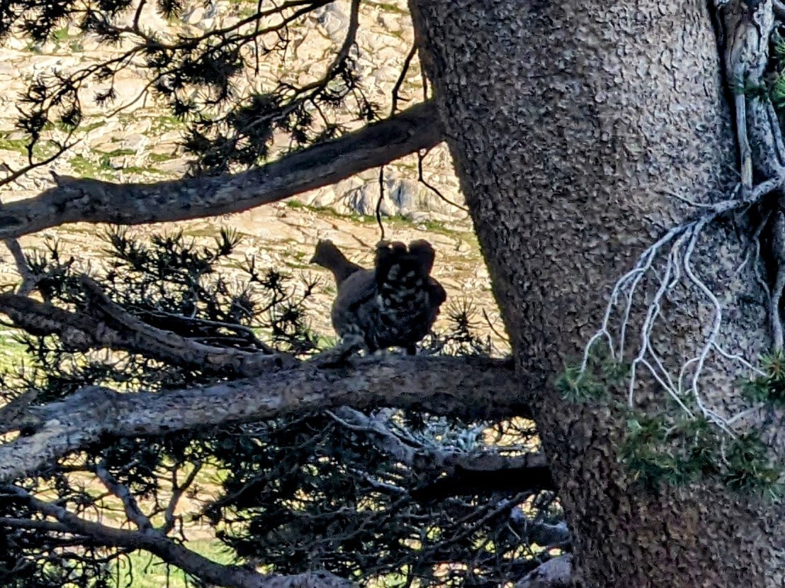
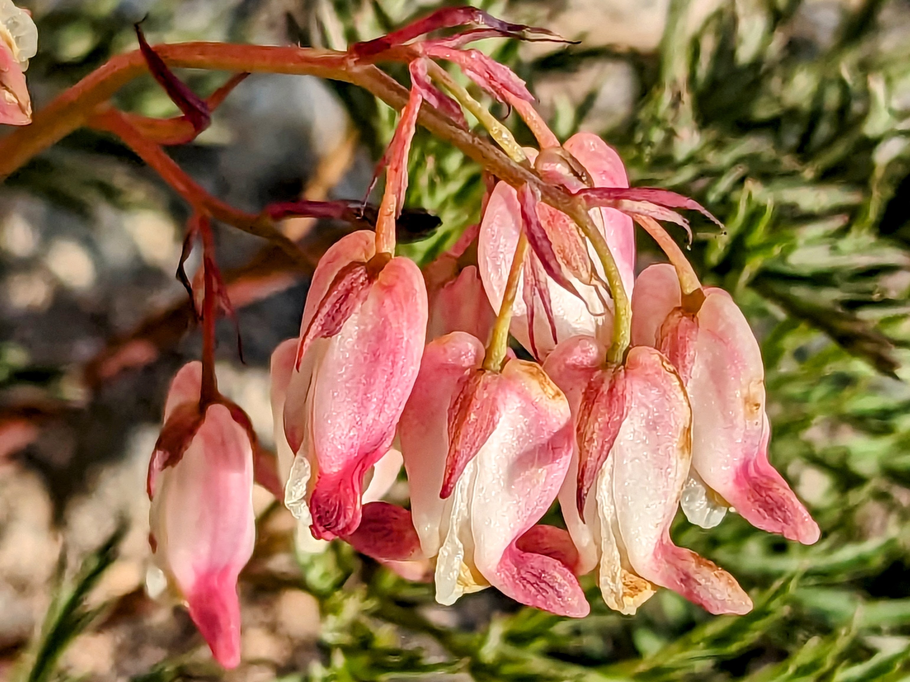
My route started on the Twin Lakes trail. I can’t believe how many flowers are still out. It looks like early July!
Alas, the mosquitoes think it’s July too…. (boooooo!)
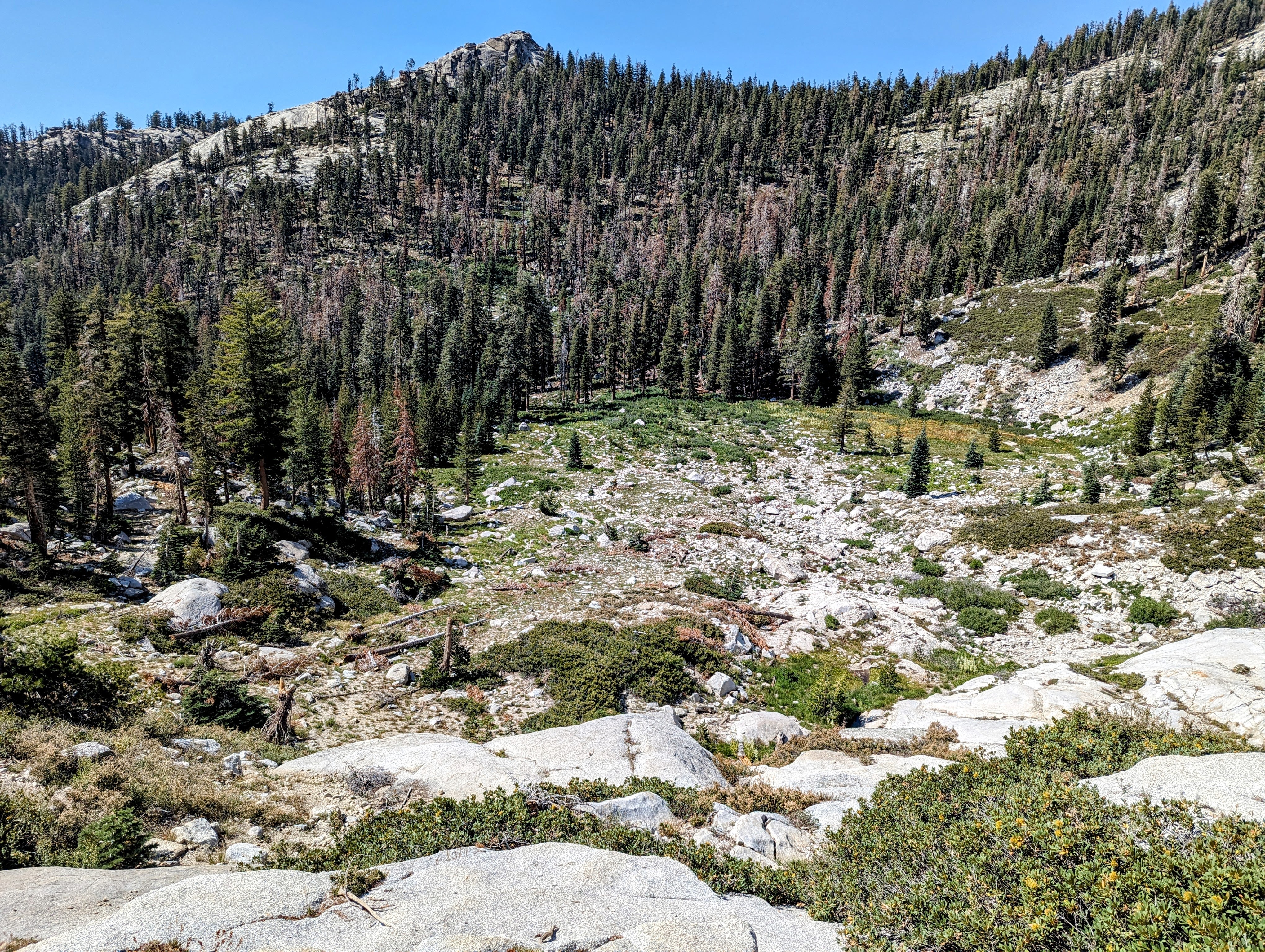
After just two miles, I left the Twin Lakes trail to head up Silliman Creek.
There is a very clear use trail all the way up to Silliman Meadow. I only lost it briefly a couple of times.

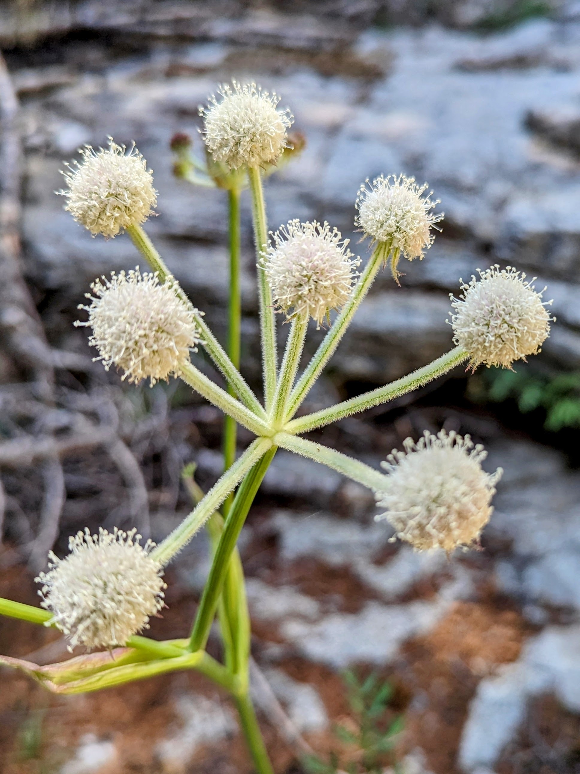
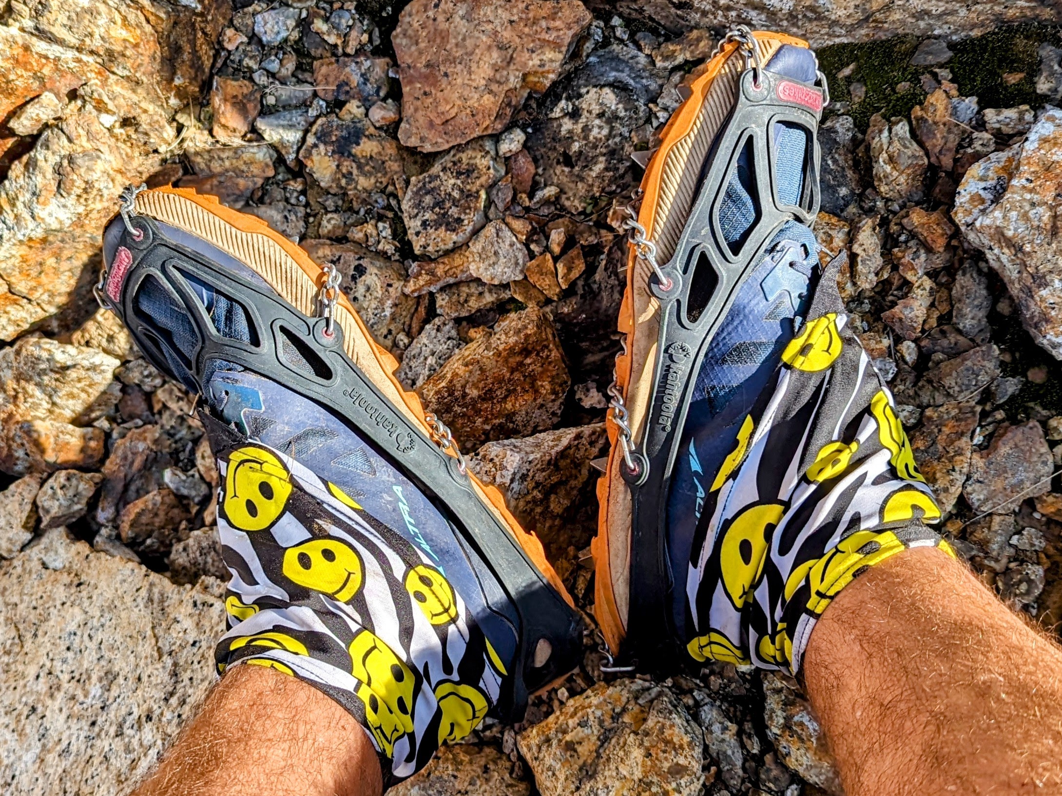
Everything was so wet! My shoes were soaked from all the places water is still running, especially any time the trail passed through meadows.
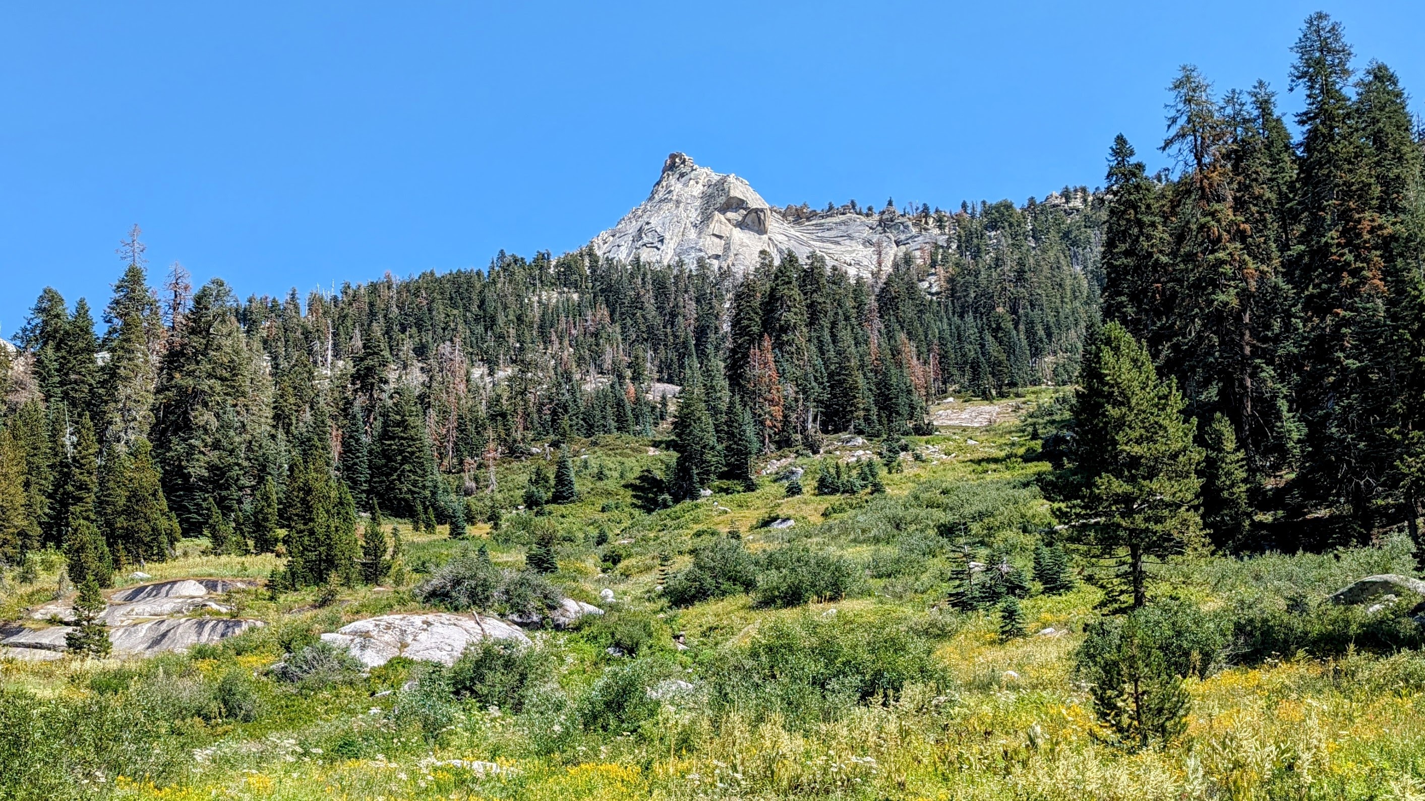
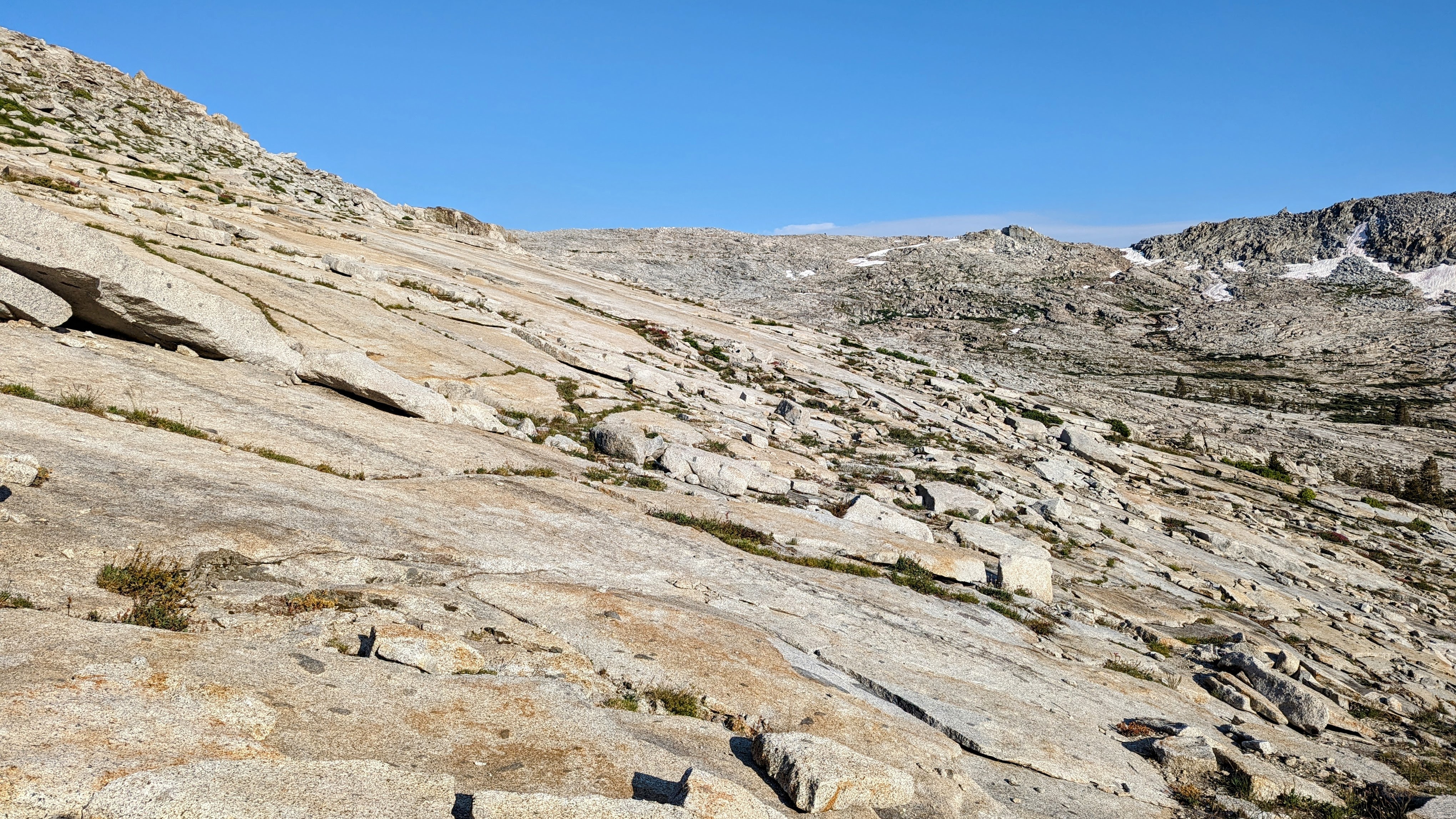
The trail continued intermittently above the meadow as it climbed up the right side of some massive granite slabs. I decided to just tackle the slabs directly.
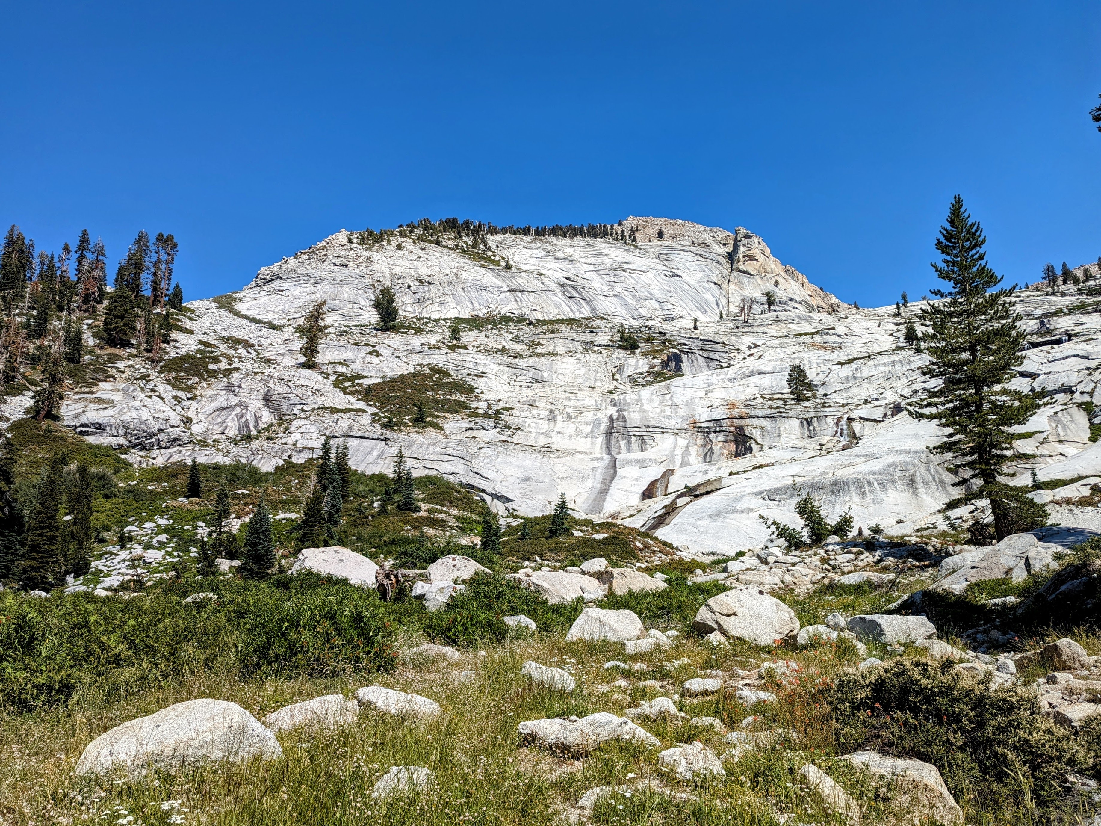
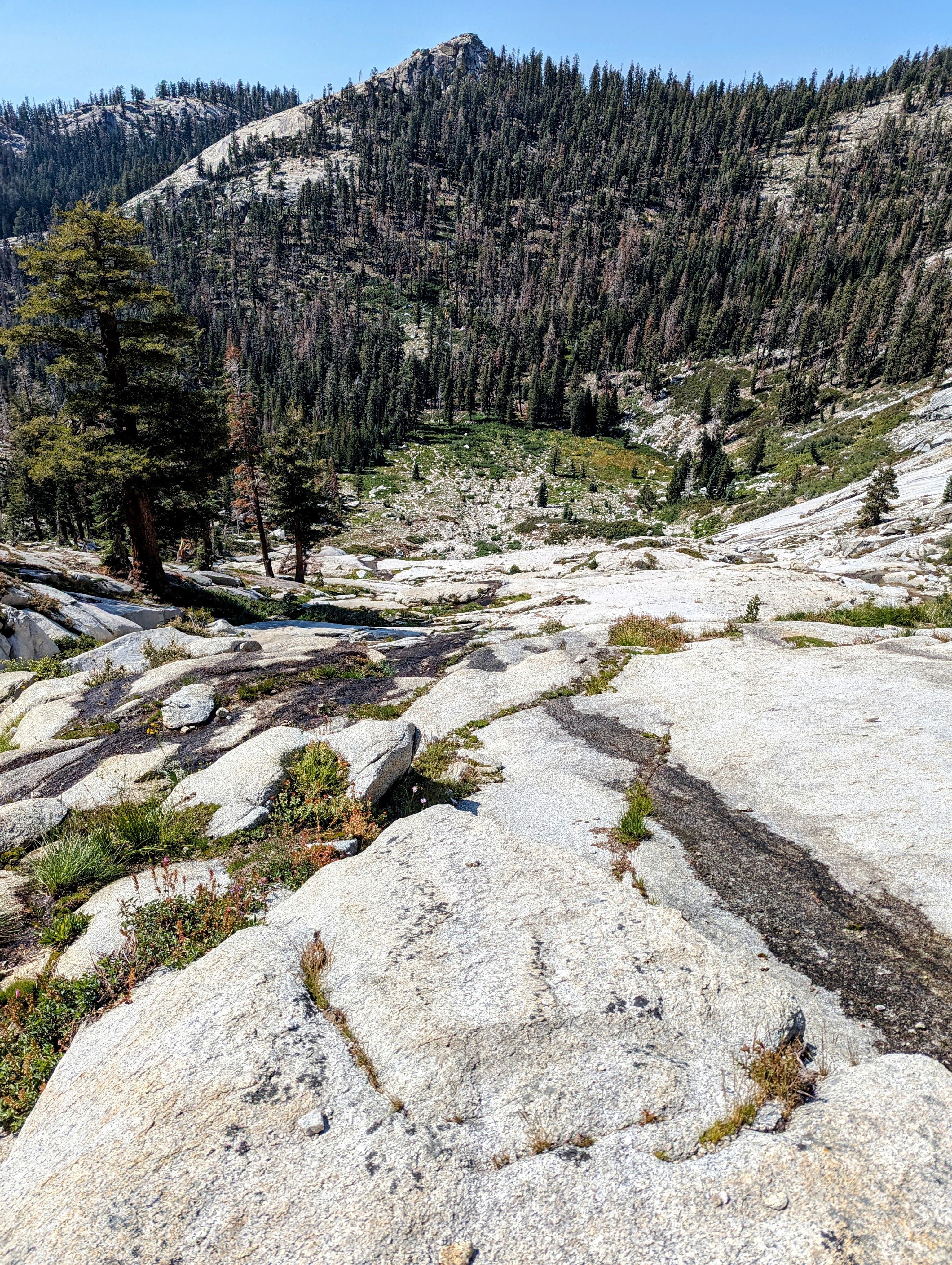
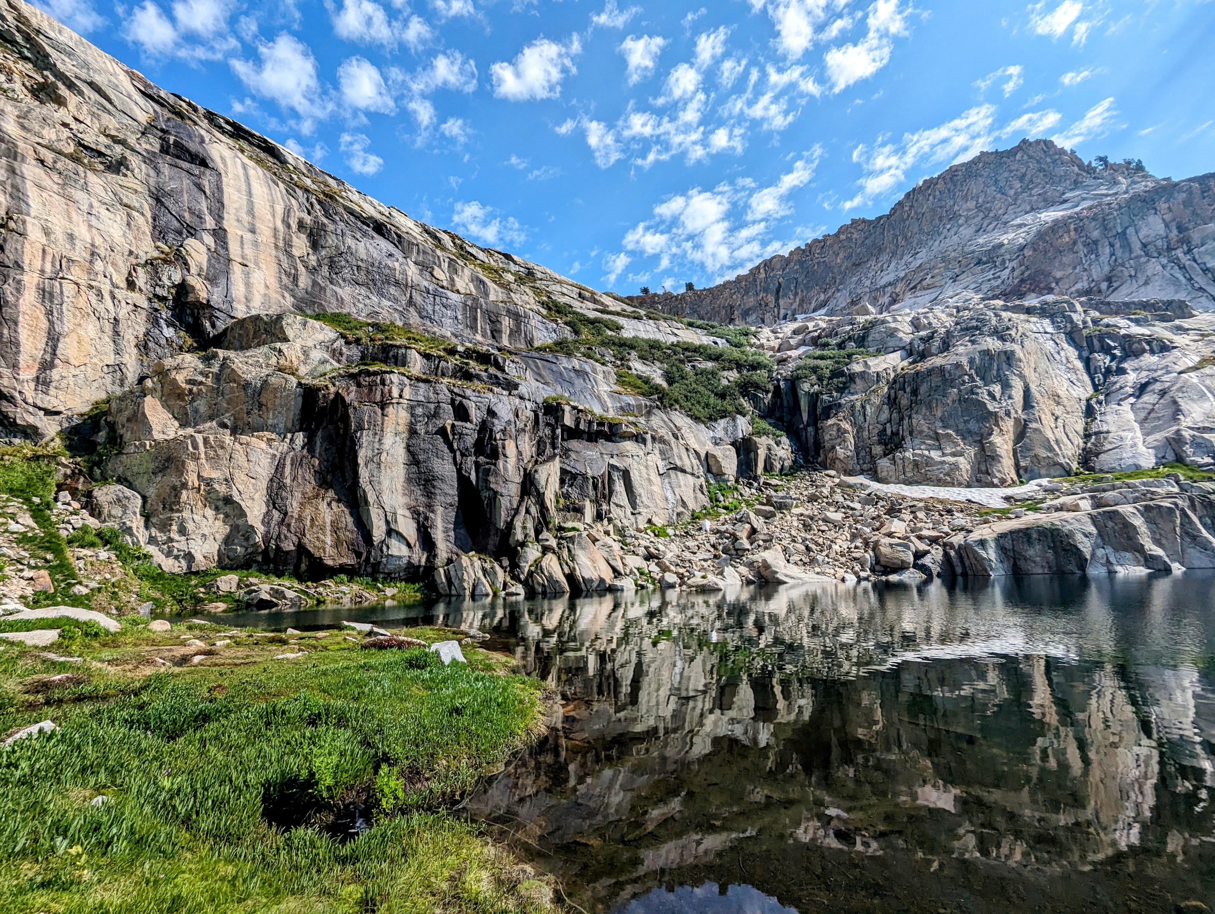
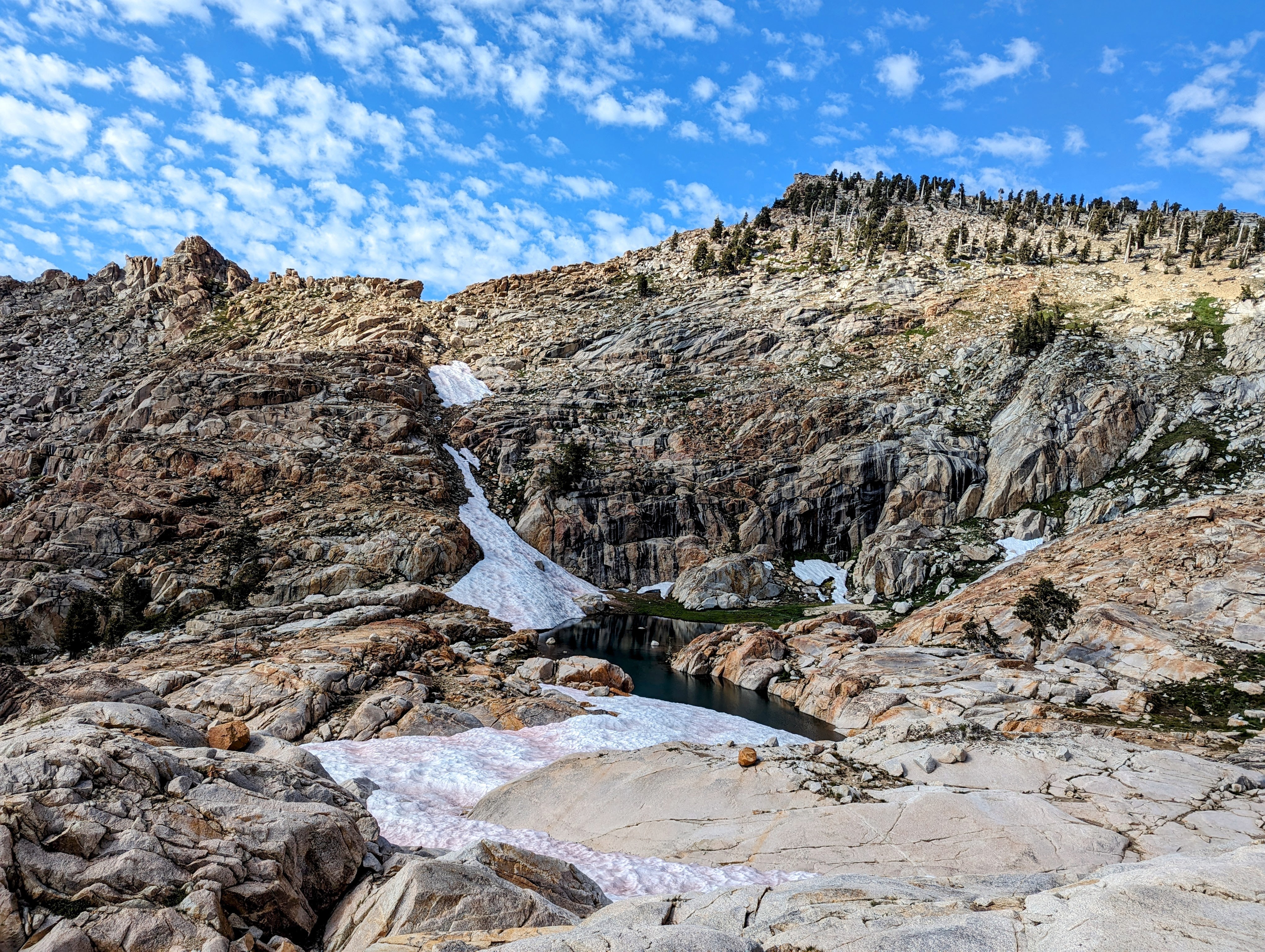
At 10,000 feet I finally got to stop climbing slabs! I took a nice long break on the north shore of Silliman Lake.
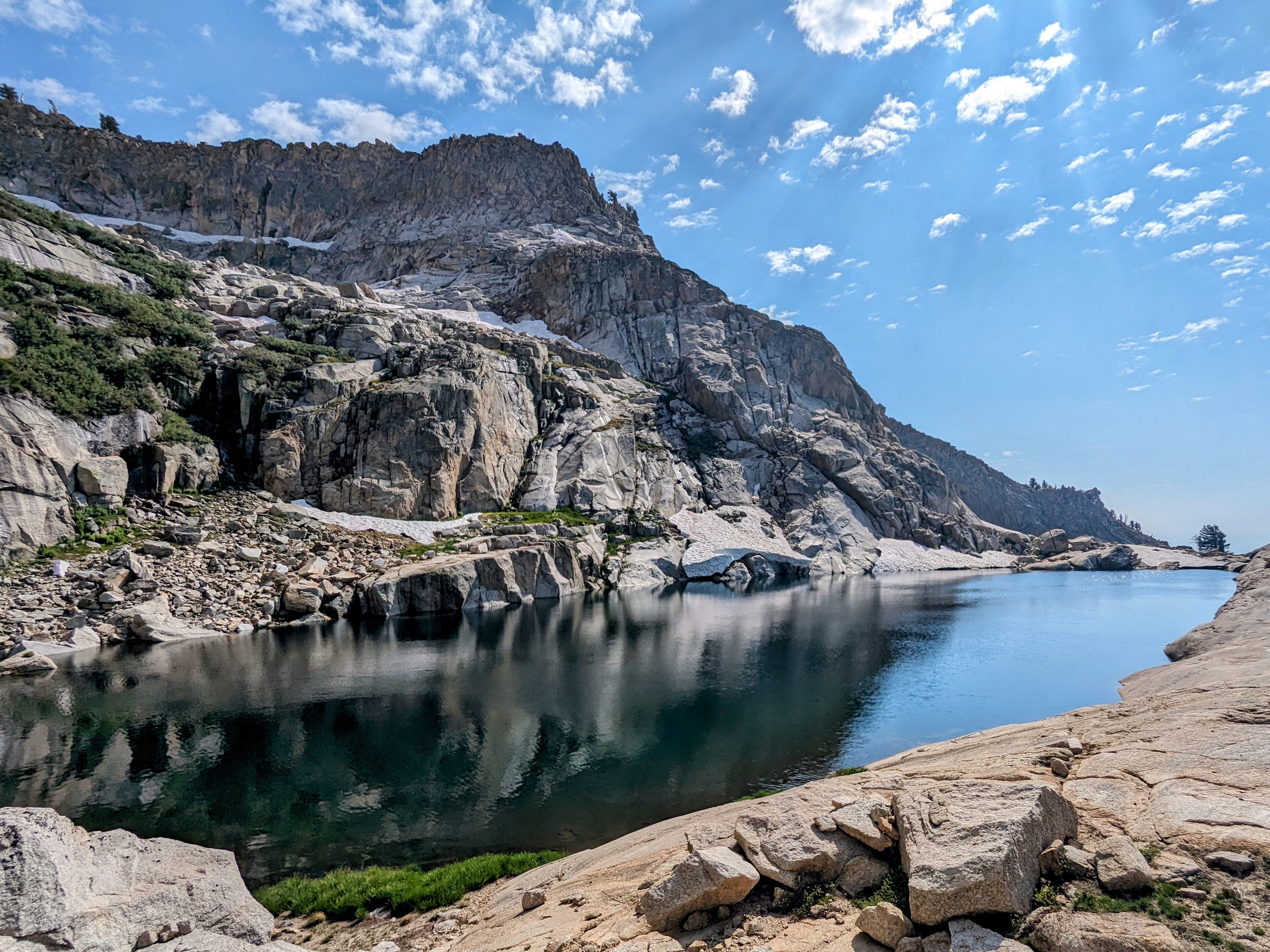
Alas, the break was over far too soon because I needed to climb some more. My goal was to head over the shoulder of Mount Silliman to get into the Tablelands.
The inlet to Silliman Lake looked easy enough.
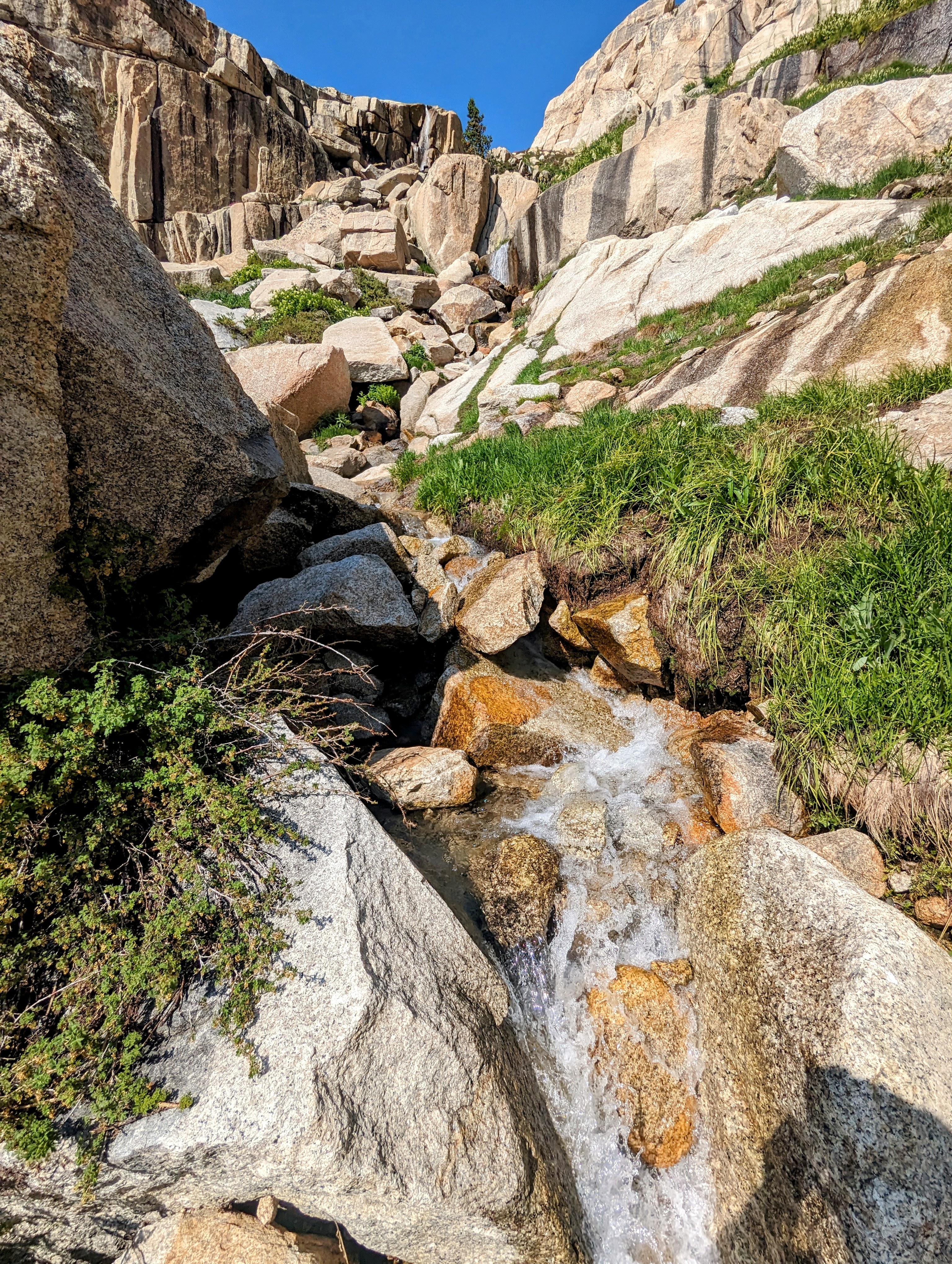
But it turned out to be a slippery mess. My shoes were thoroughly soaked by the time I got to higher ground.
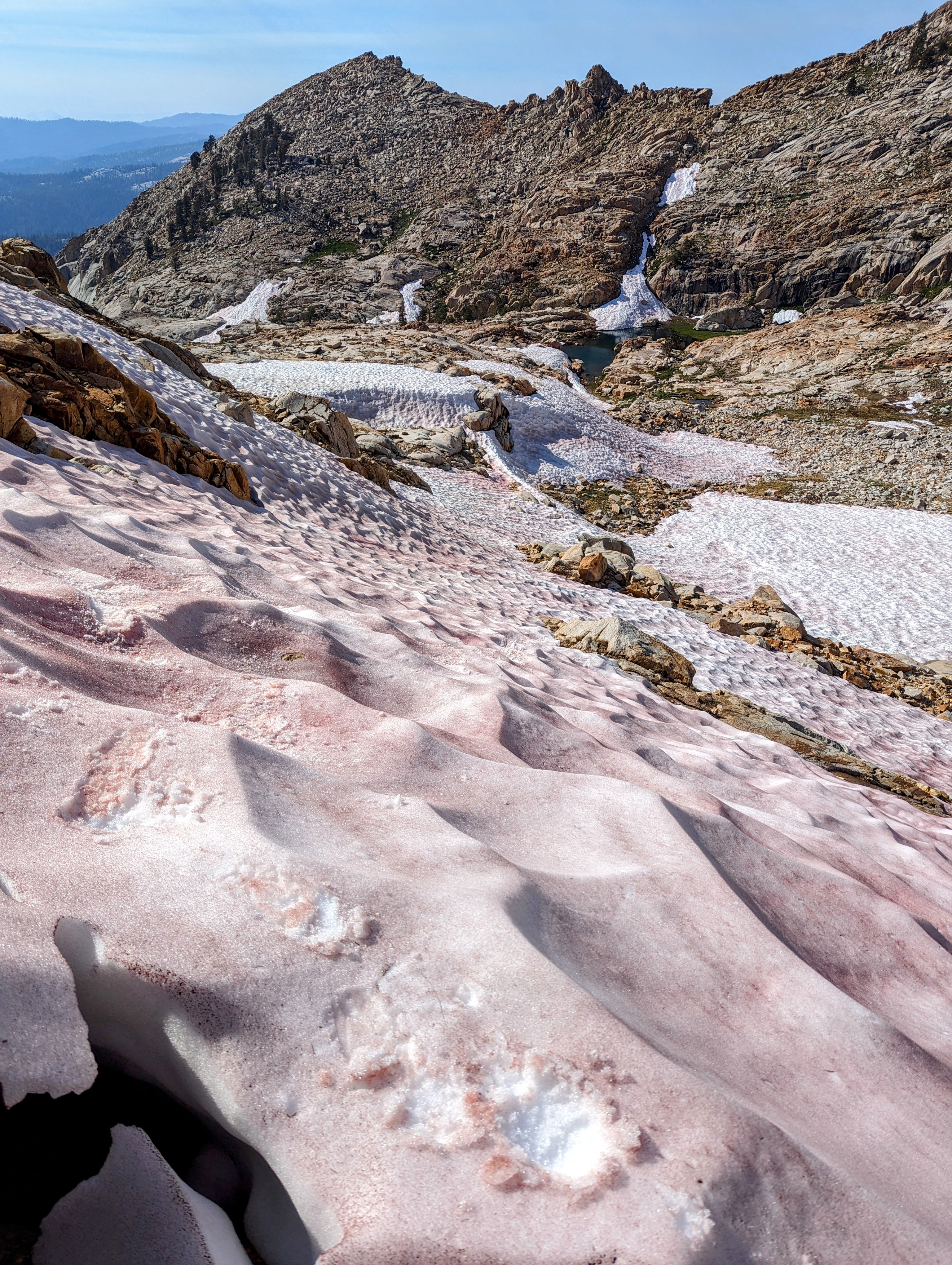
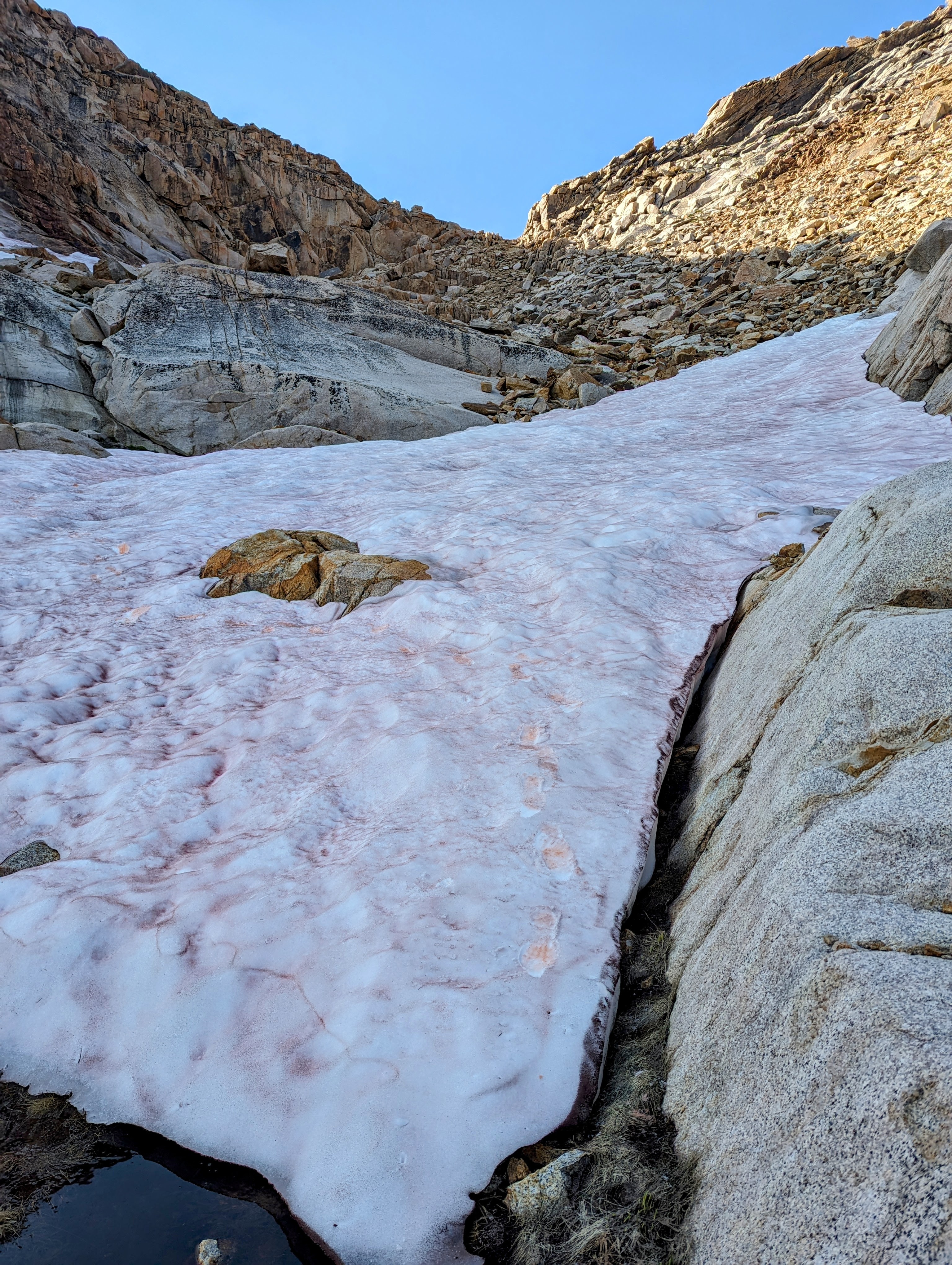
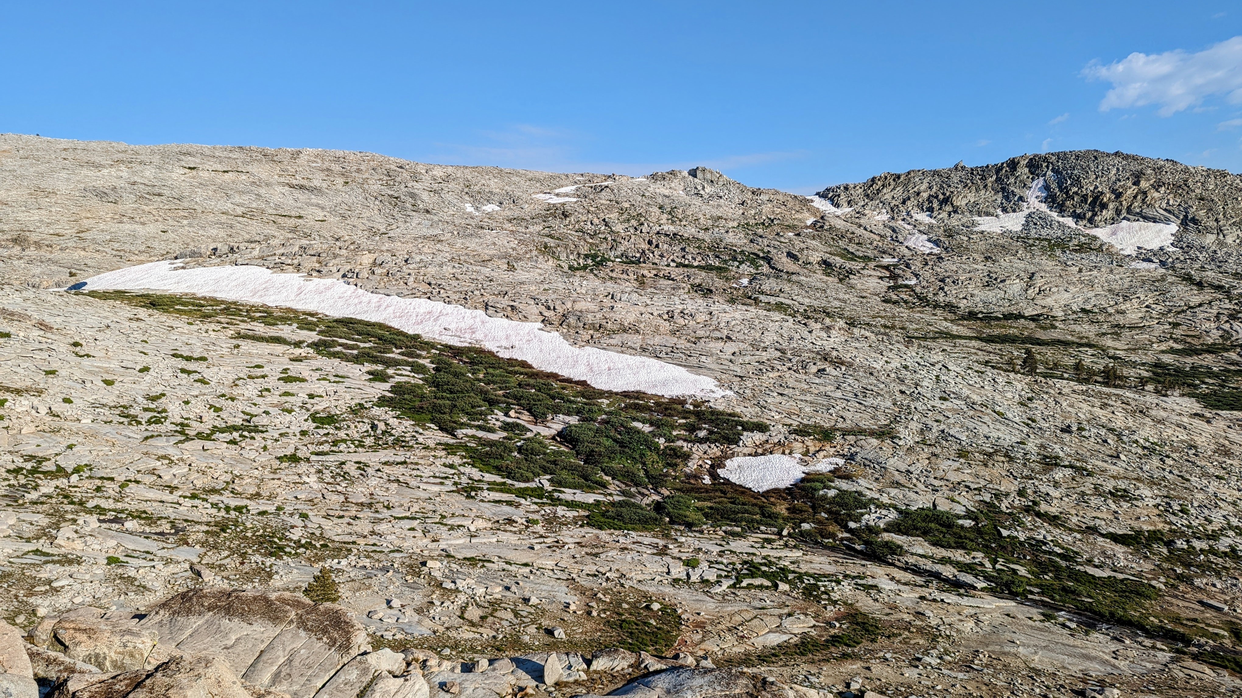
At 10,500 feet I got my first full view of the approach to the shoulder of Mount Silliman.
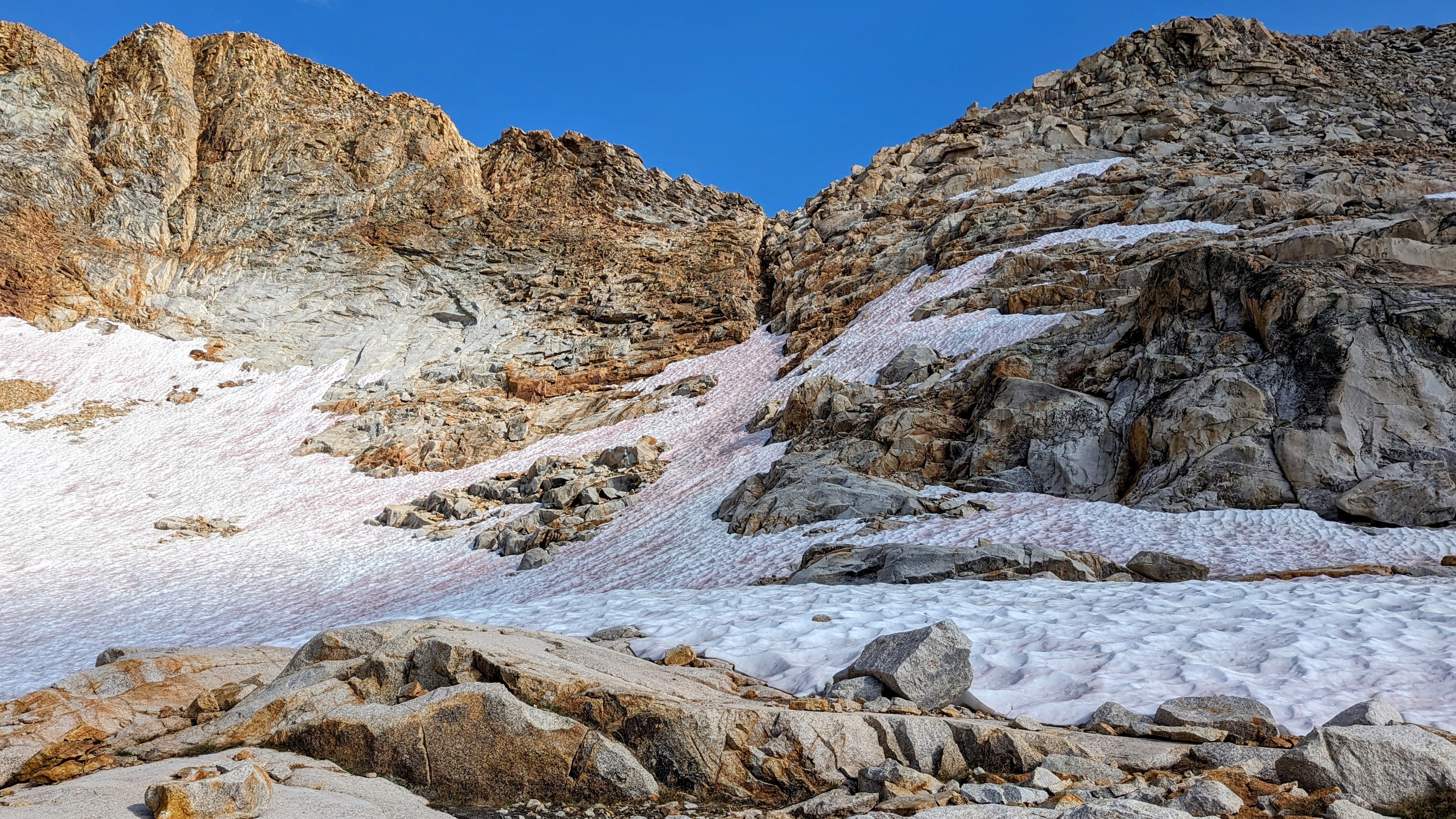
There was a decent snowfield below the approach. Fortunately, I brought my microspikes
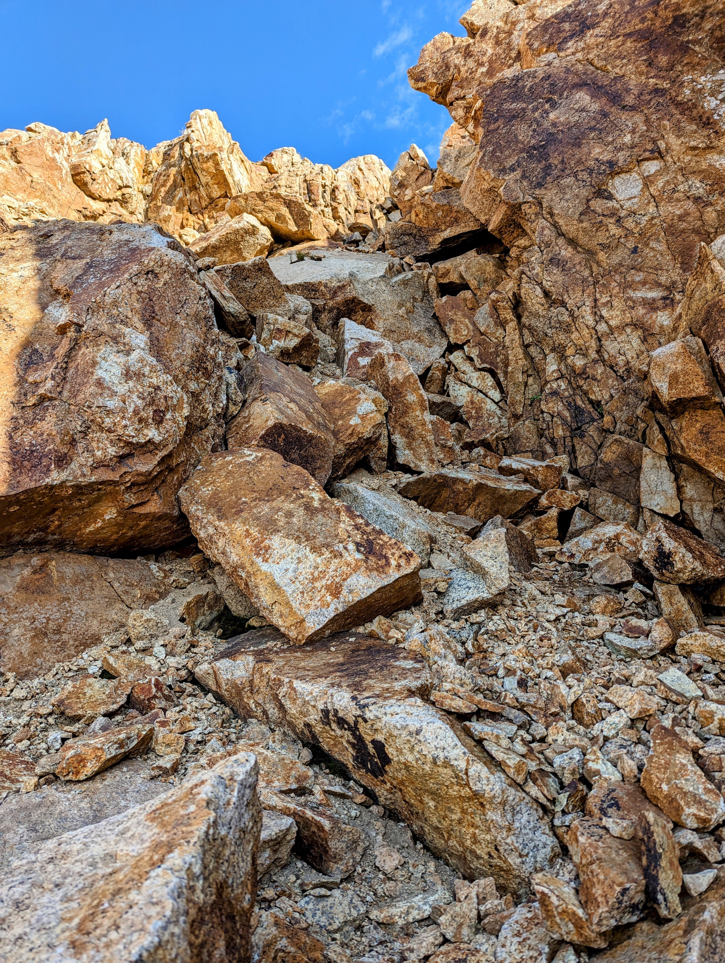
I didn’t bring my ice axe, but I took my time with trekking poles and managed the approach without incident.
The notch was mostly class 2, with only a couple spots of exposure where I had to pull myself up or around a block. I think anyone comfortable with Class 2 passes would be okay here.
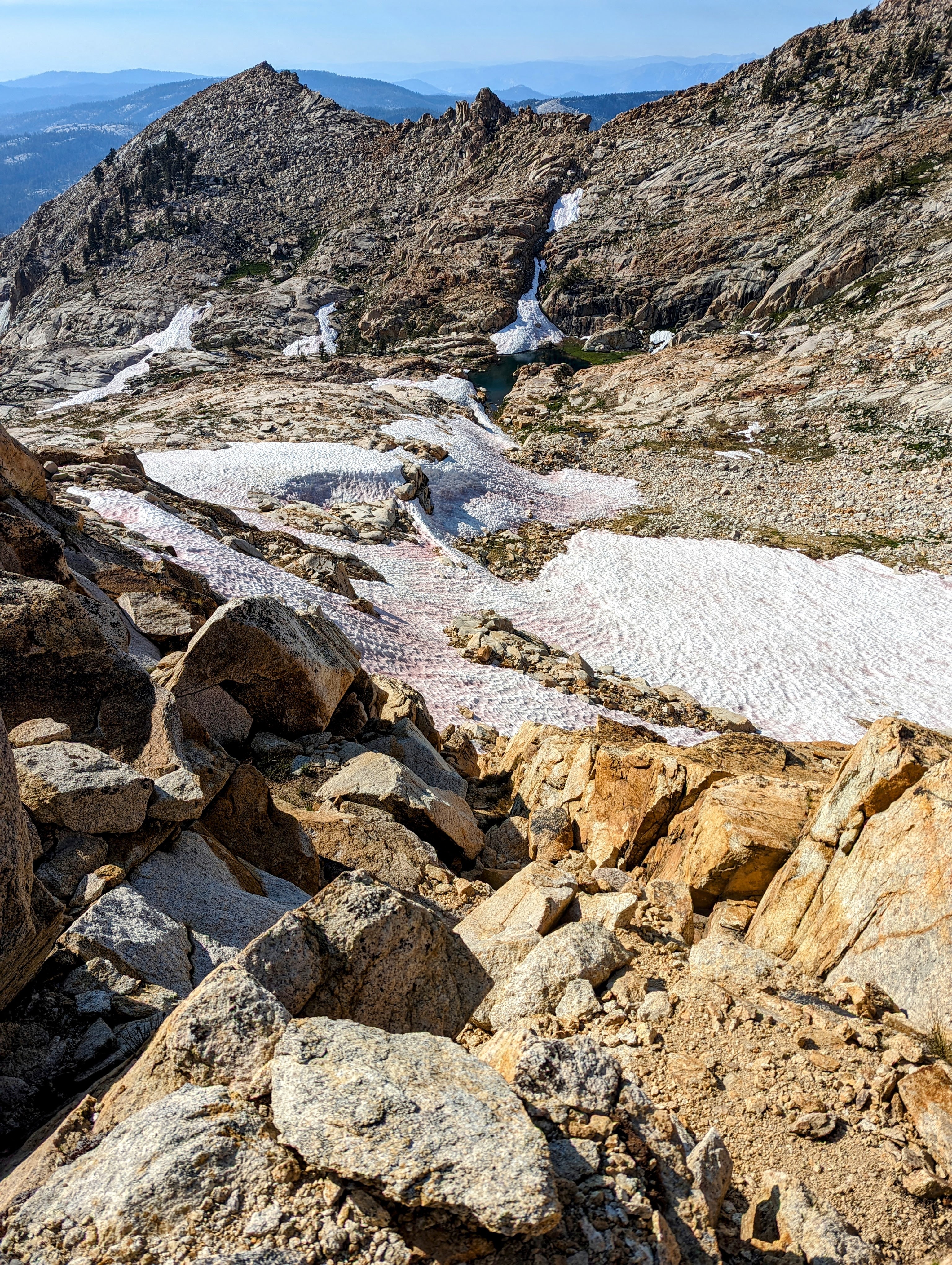
I took another nice break at the top. At 10,900 feet, I had just completed over 4,000 feet of climbing. My quads were humming!
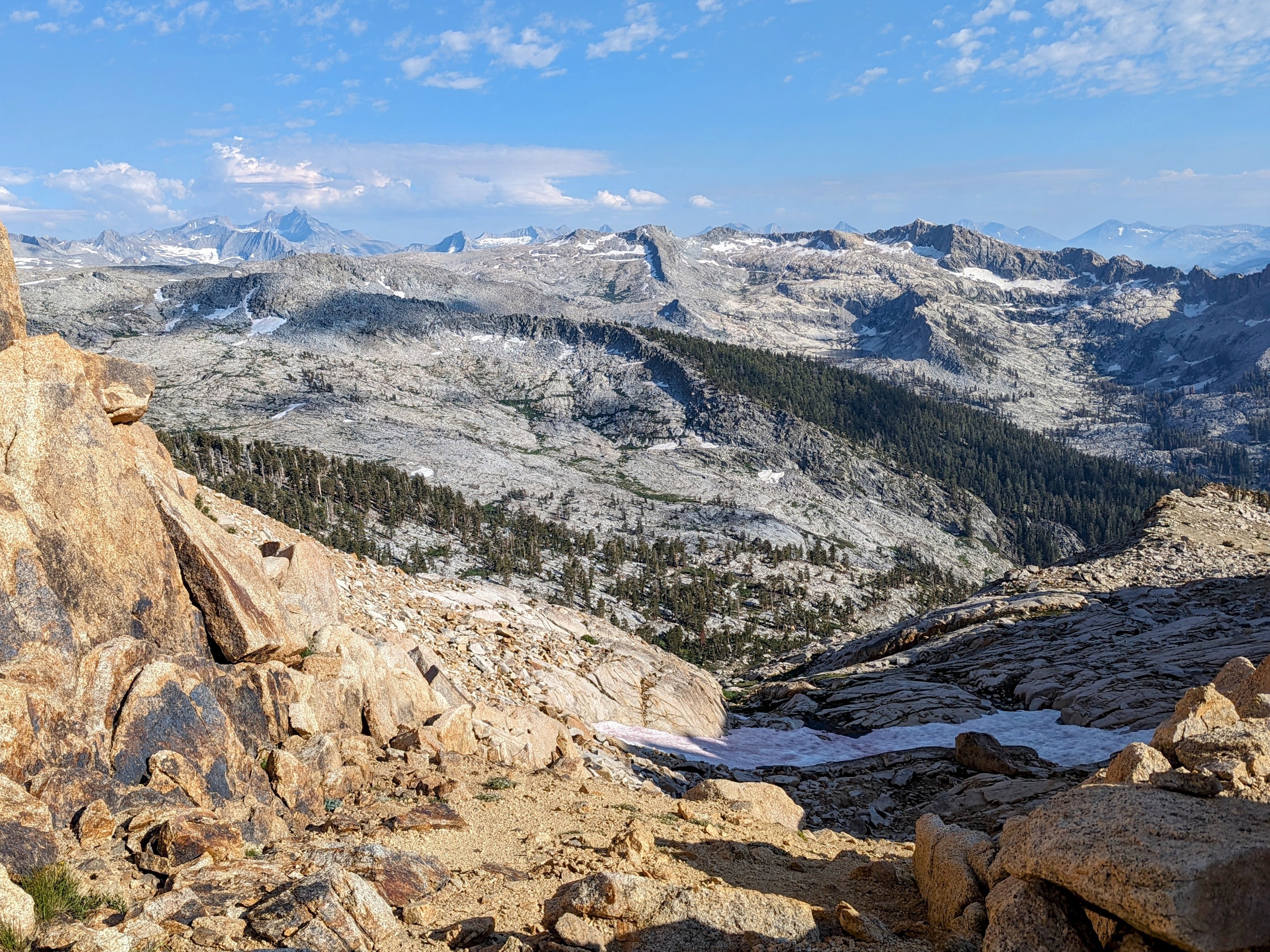
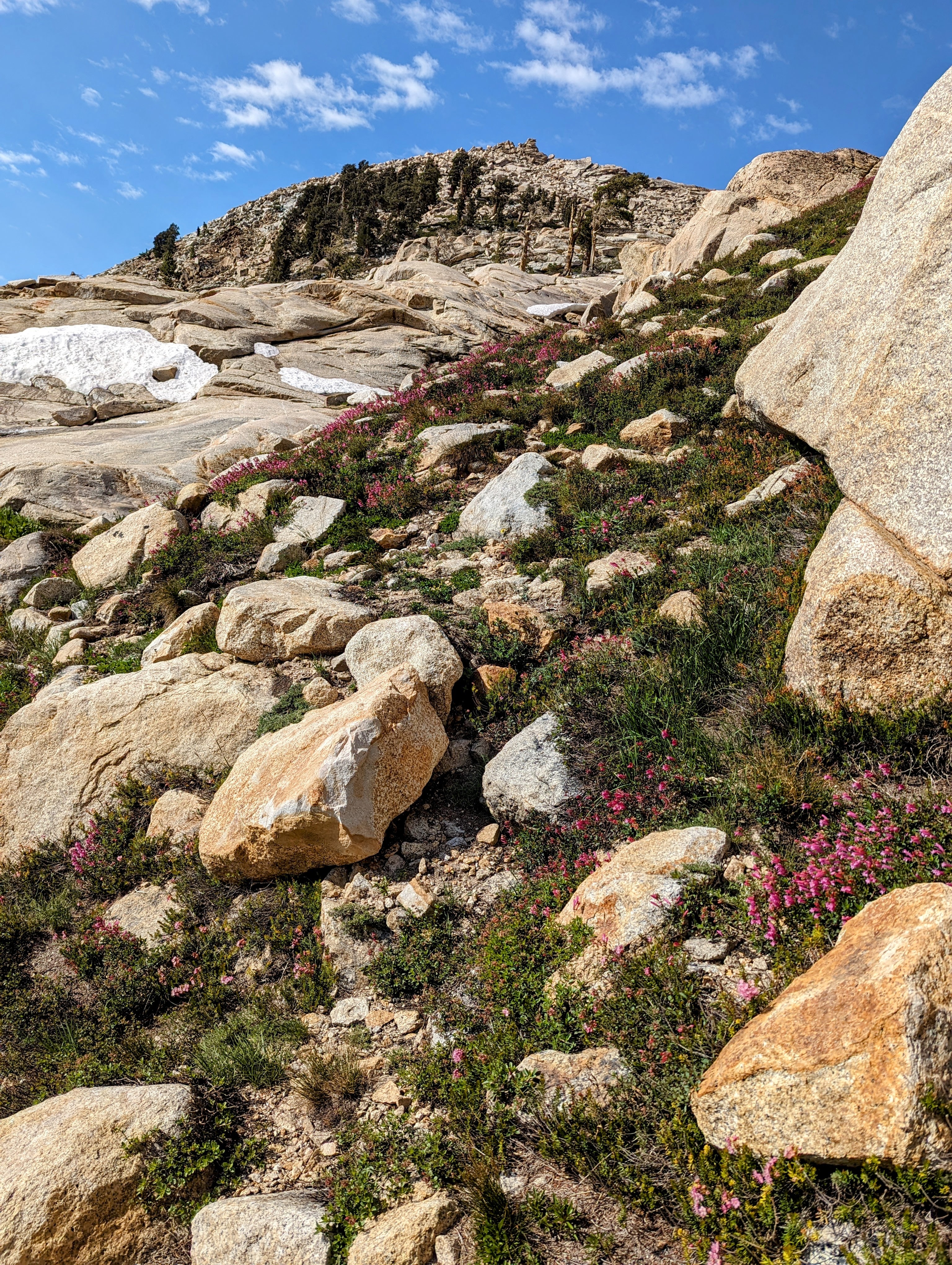
The descent to the Tablelands was gentler, through stable talus and snowfields.
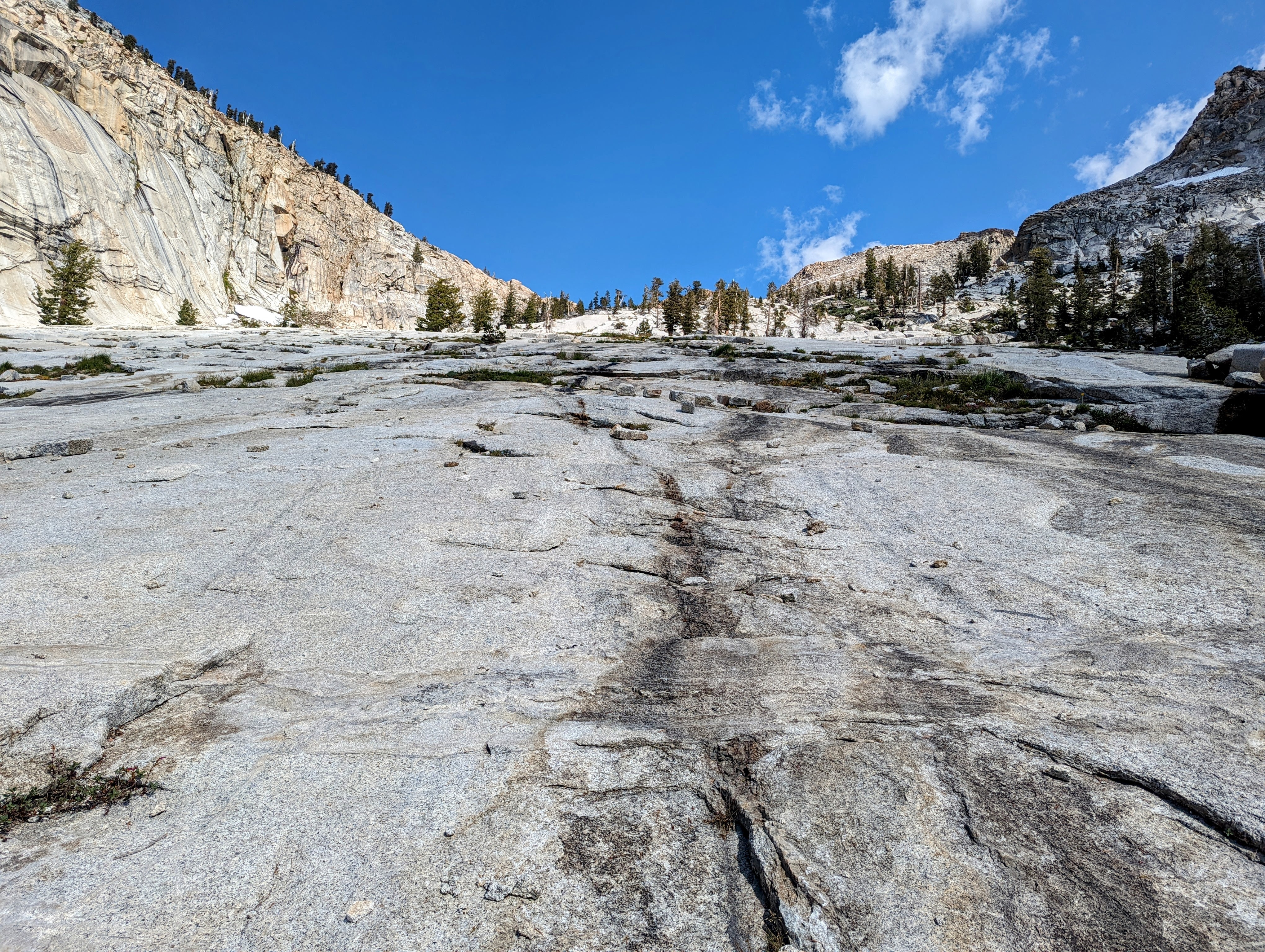
Then the last couple of hours were on sidewalk-like slabs.
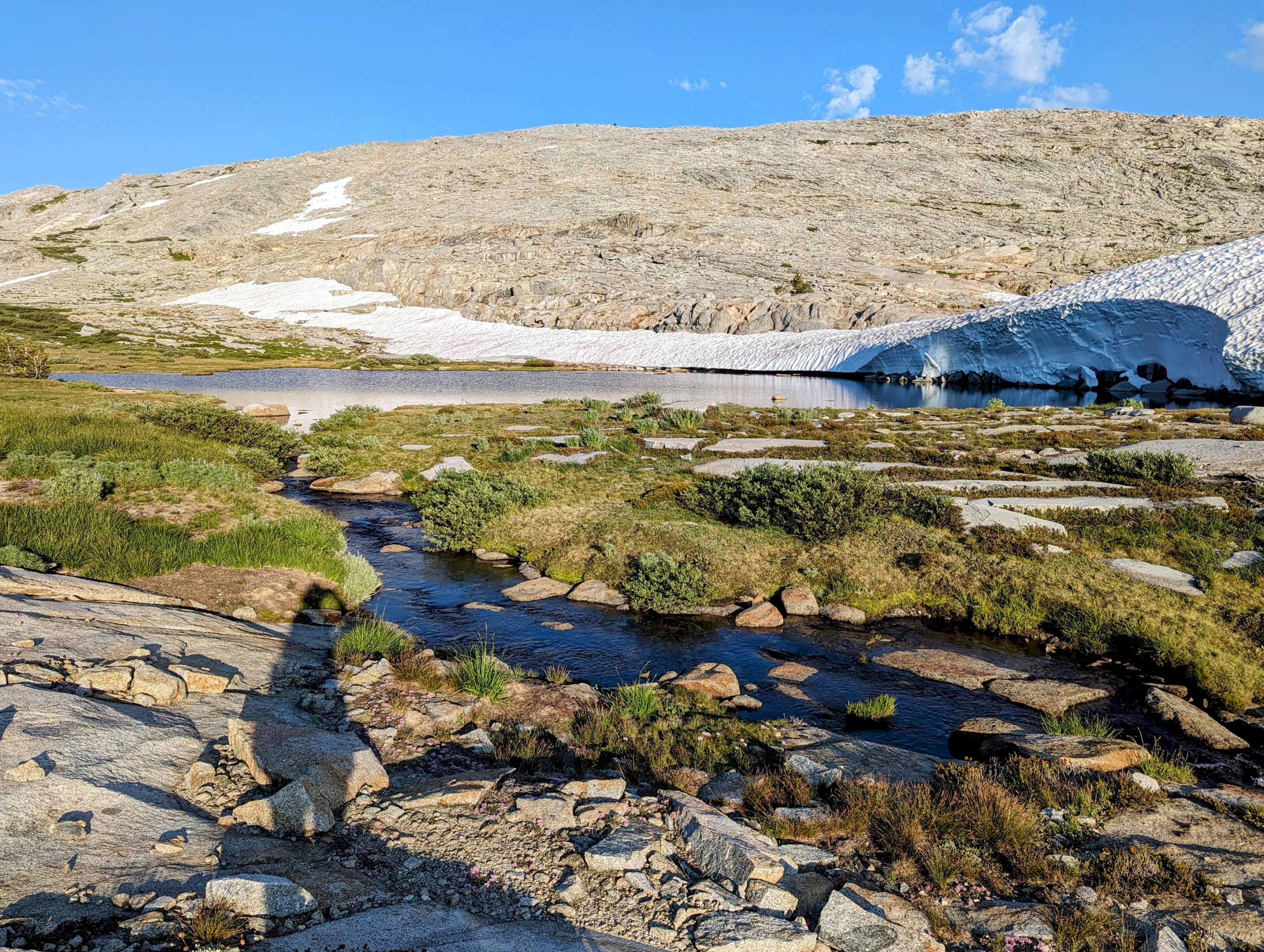
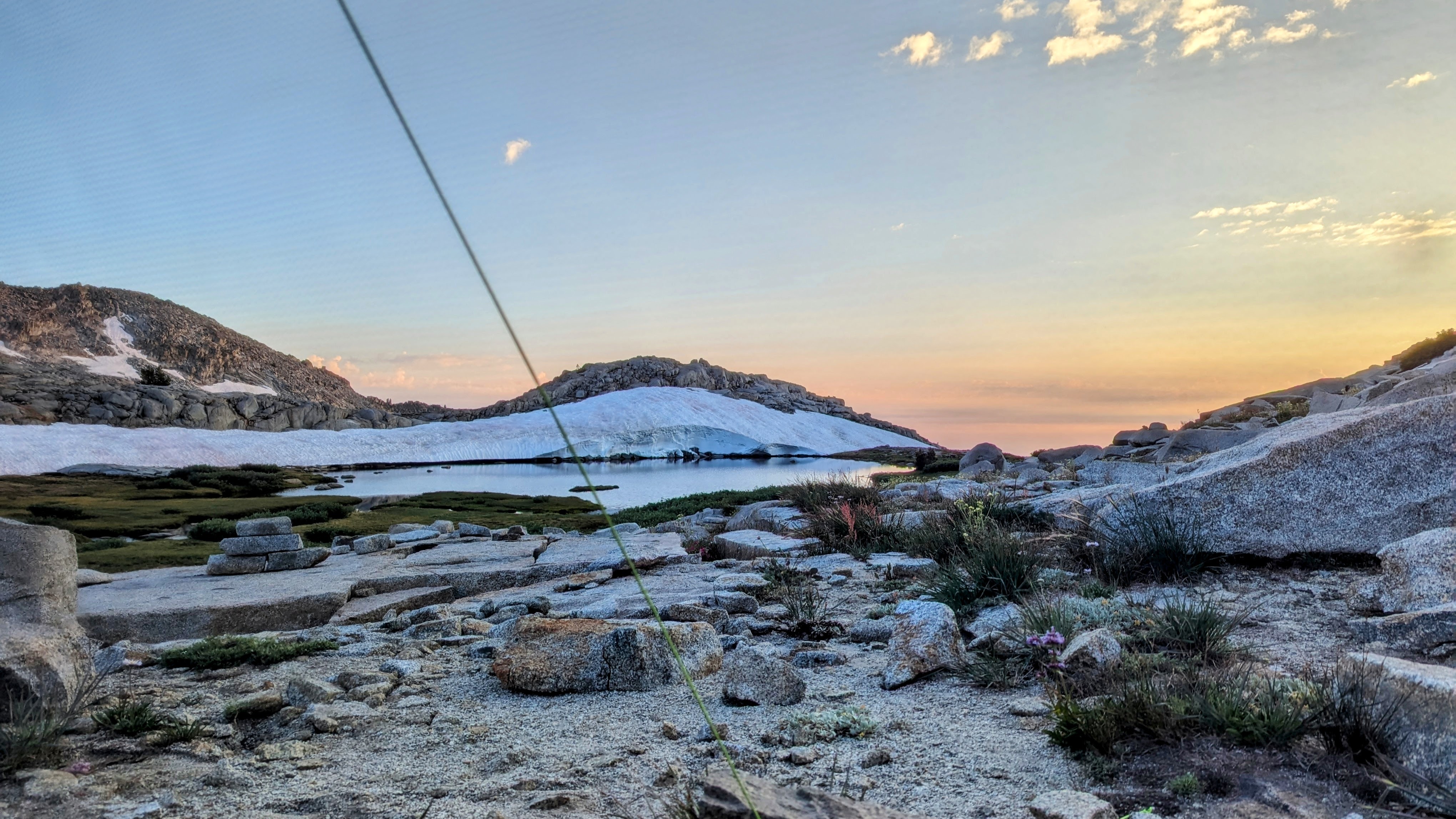
I had a little trouble at first finding a campsite that wasn’t submerged. But on the north end of the lake was a cairned spot that got me up and away from the swamp.
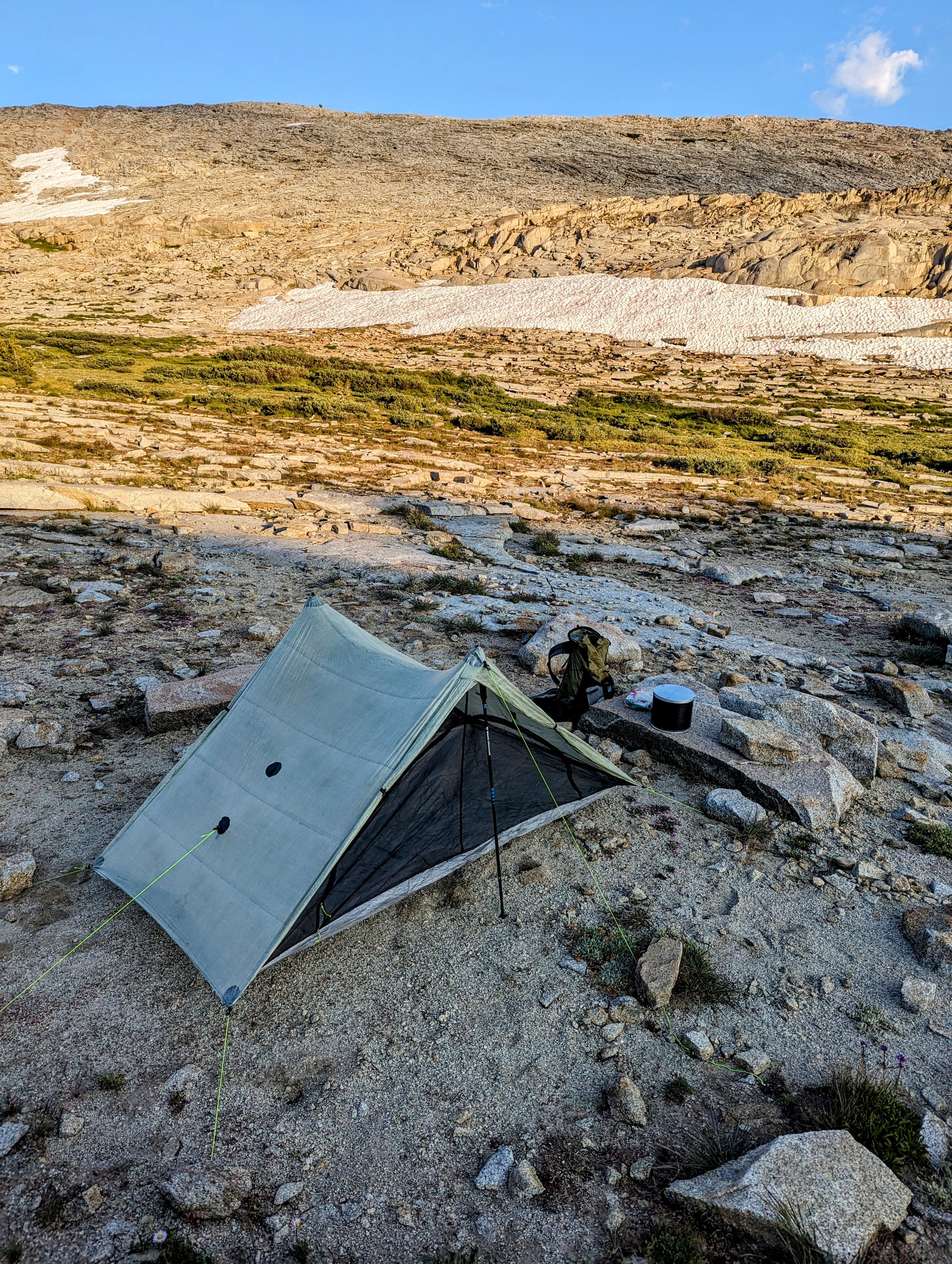
It would have been nice to linger outdoors. But the mosquitoes had other plans.
I relented and dove into my tent. After a 5 minute frenzy I managed to kill about 30 of the little buggers who had decided to join me.
And then I got to enjoy the delicious schadenfreude of watching 100 mosquitoes perched on the outside of my tent, all going hungry.
It made my sunset view all the sweeter.