28-29 January 2024
Pepperwood Canyon to Agua Caliente via Inner Pasture and Moonlight Canyon
(28 miles, +4,800/-4,800 feet).
The first time I came to McCain Valley was during the pandemic. All the National Forests in California were closed, and I was losing my mind being trapped indoors. Half Cookie said why don’t you go do a short trip by yourself in the desert?
And so I did.
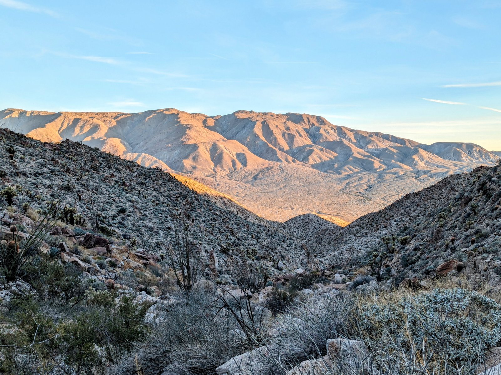
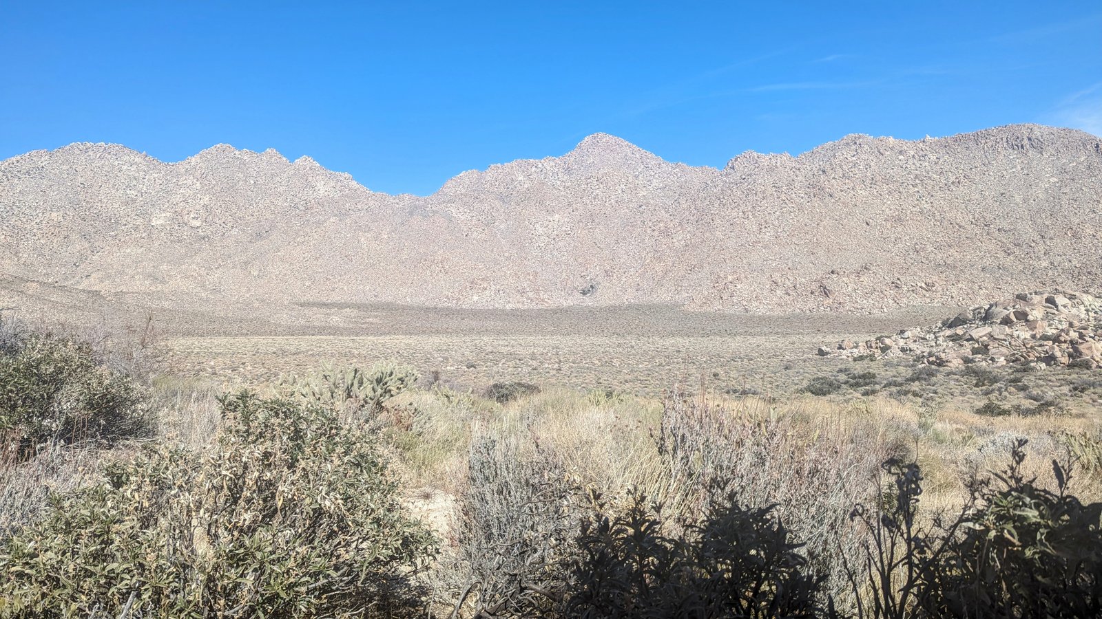
That was the first time I saw Pepperwood Canyon, and I knew right away that I wanted to come back some time with Half Cookie and combine it with a trip to the Sawtooth Mountains Wilderness, the Inner Pasture, and the marvelous hot springs at Agua Caliente County Park.
Before I get to the trip, I want to describe the route we took and compare it to the route I would take if I were to do the trip again (the best route is shown here, on my Caltopo map).
First there is the problem of driving to the trailhead in McCain Valley. Unfortunately, we just plugged in “Cottonwood Campground” into Google Maps and it took us on back roads through a Native American reservation until we reached a point where a road was fenced off. We had to backtrack to Interstate 8. If you do this hike, put “McCain Valley Road” into Google Maps and then follow that road to Cottonwood Campground, which is nearly at the end of the road.
Second, there is the question of where to start the hike. Jerry Schad in Afoot and Afield in San Diego County says to start at the trailhead across from Campsite 11 in Cottonwood Campground. But Bob Burd points out that the trailhead actually lies about one mile north of the campground off of McCain Road. Burd’s trailhead is about half a mile closer to Pepperwood Canyon but also about 200 feet higher in elevation above the canyon.
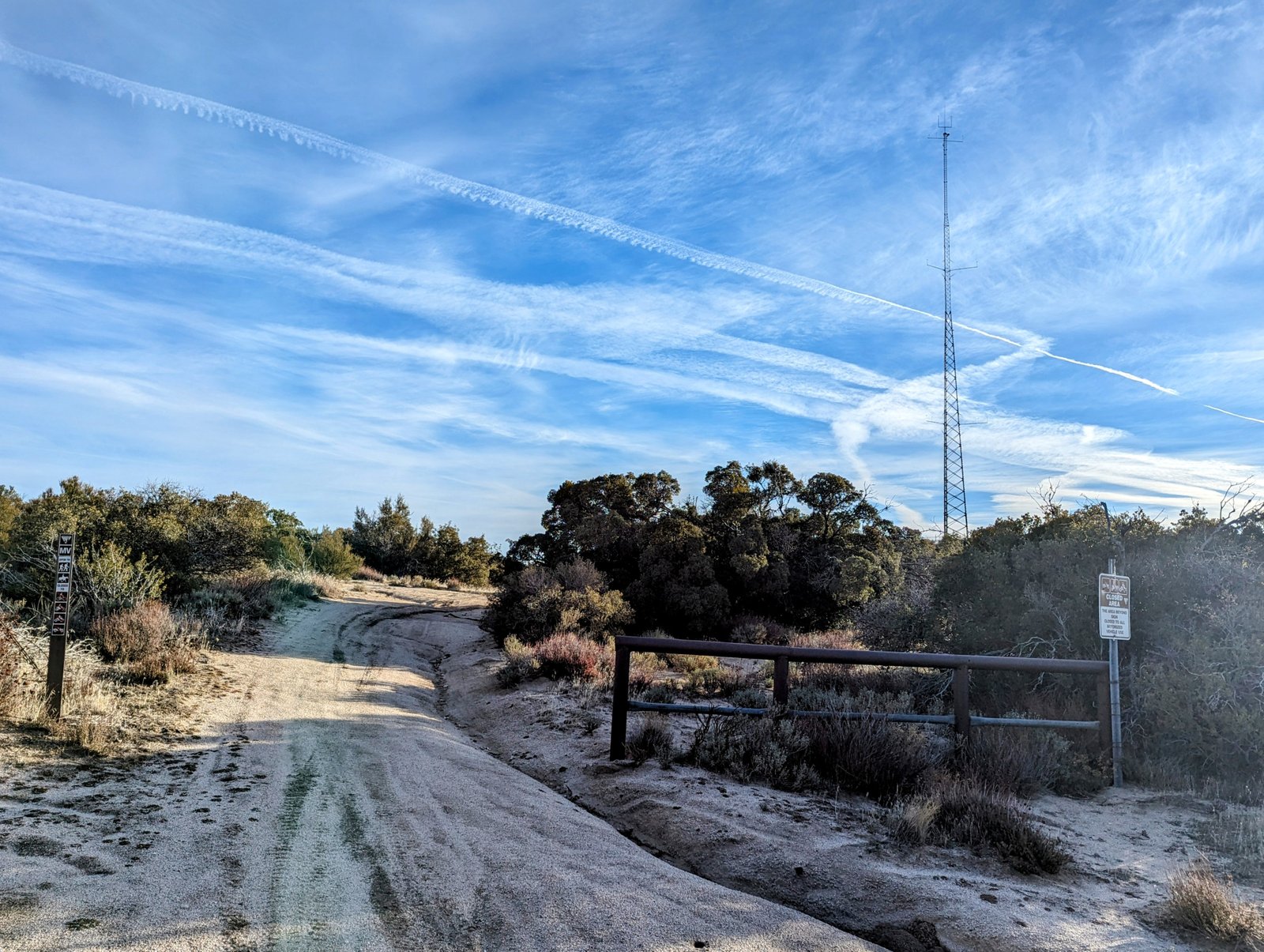
For this trip, we started at Burd’s suggested trailhead, but in future I would do Schad’s trailhead at Cottonwood Campground because McCain Road gets very deeply rutted. We had to park our car at the junction with the radio tower road, about 1/3 of a mile south of the trailhead and walk the road, so we lost whatever advantage we might have had with fewer miles for the hike.
Third, there is the question of what to do when you get down to Canebrake Wash. Several GPS tracks show a path going to a road on the USGS map that parallels the wash on the north, so on our way down canyon we departed from the nice single track we were on and went cross country in search of it. But when we found it, it was quite overgrown and not much easier than the roadless terrain we had already been crossing.
On our way back up canyon, we followed a single track into Canebrake Wash and then up onto a road that parallels the wash on the south, and this road was excellent. But we stayed on the road instead of following the track when it departed and headed back into the wash. From the end of this road we headed cross country up towards Pepperwood Canyon, but the path is quite choked with catclaw. I wish we had followed the track back into the wash. It probably reconnects with the trail where we crossed the wash when we headed down canyon.
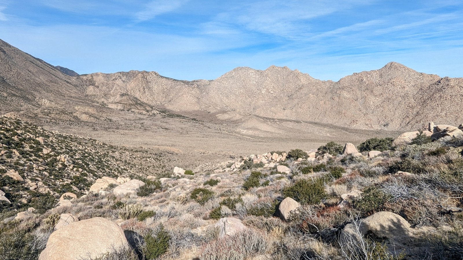
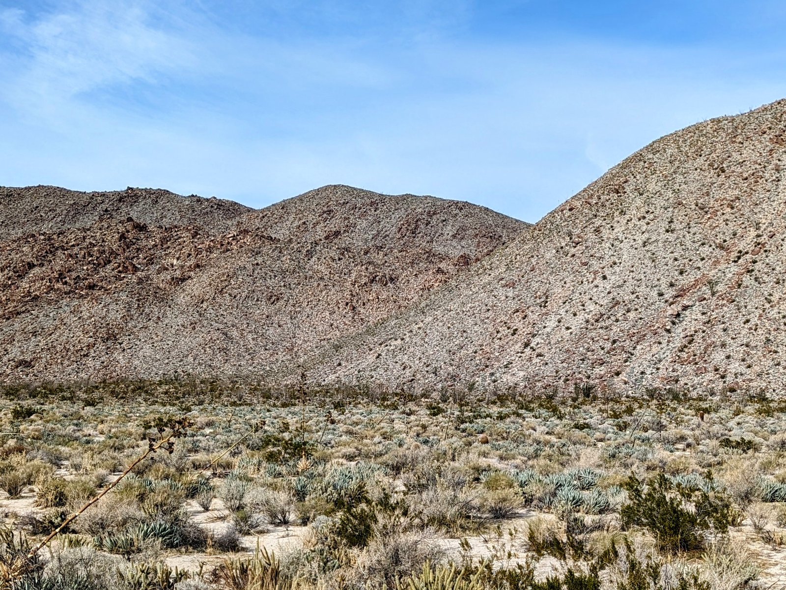
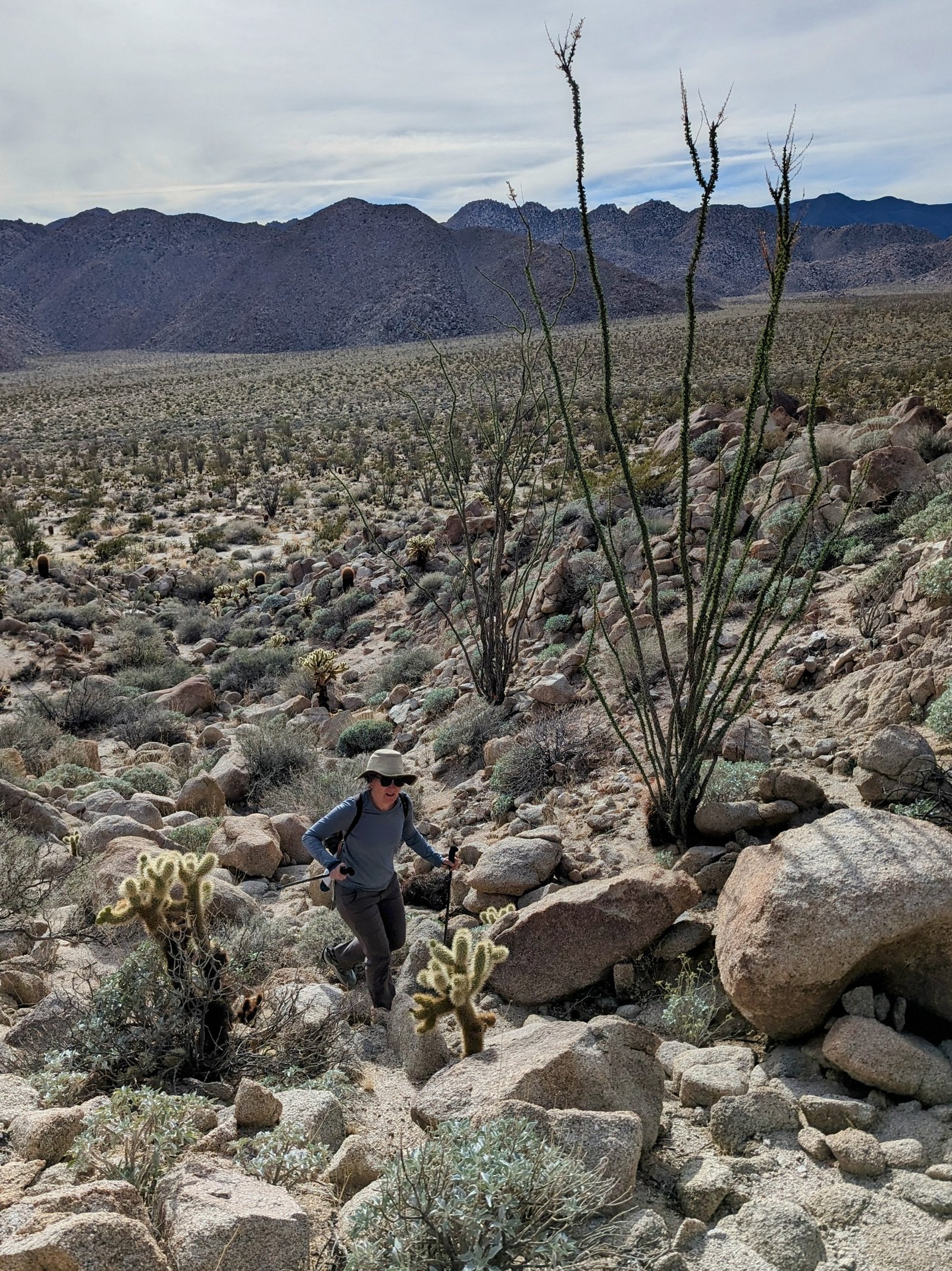
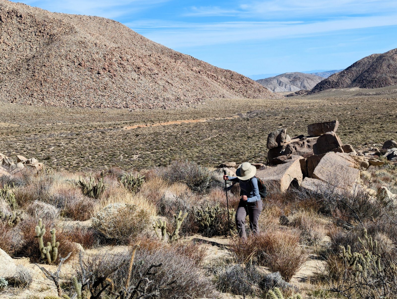
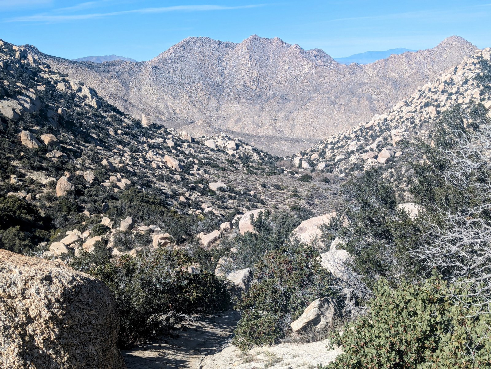
Finally, although there are nice roads and washes for most of the trip between Pepperwood Canyon and Moonlight Canyon, you have to choose your own adventure across the Inner Pasture. It’s flat, but full of hitchhikers!
In summary, my caltopo map shows what I think is the best path, and I recommend you look at a satellite view or put the track on Google Earth so you can see the state of the roads and tracks we followed.
All that said, we really enjoyed the adventure of this hike and I highly recommend it!
I was psyched that we got on the road a little earlier than planned in San Diego because I was worried about having enough time to complete the hike down to Agua Caliente before the hot springs closed at 5pm. But then all that extra time got eaten up with Google Maps sending us to a dead end.
C’est la vie!
It was already nearly 8am by the time we got started. But that turned out to be fine because we only needed about 8 hours to finish.
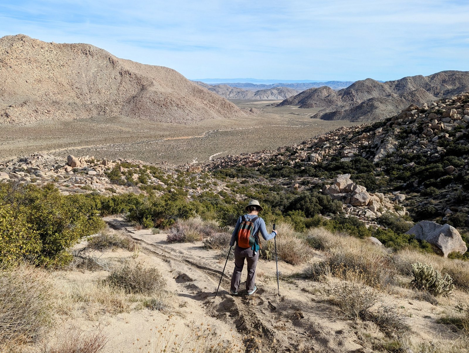
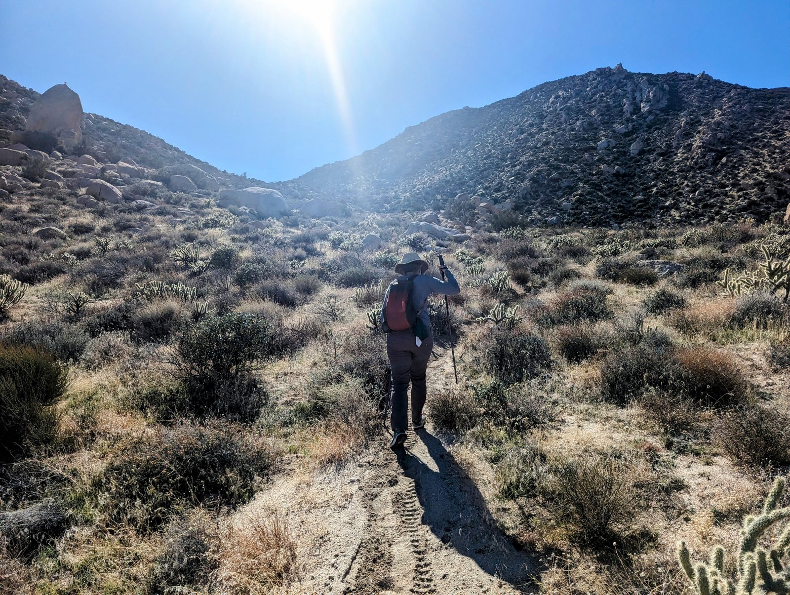
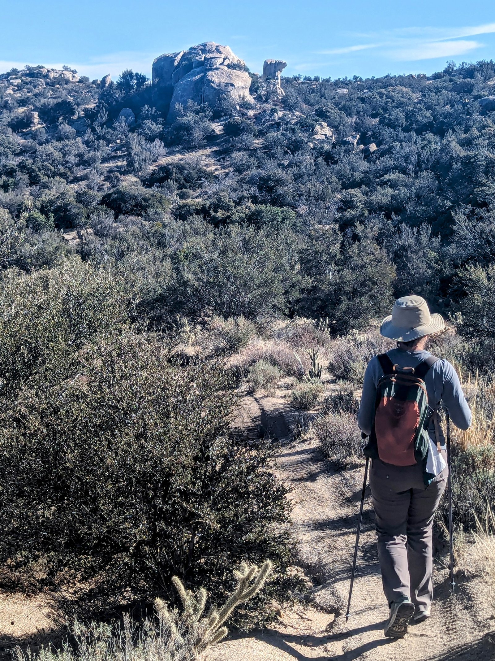
The trail starts out as a single track that is deeply rutted by motor bikes (never mind the clear signs at the trailhead which prohibit motorized vehicles…. sigh….). But after about a mile and a half we joined a wider track on the old Canebrake Road.
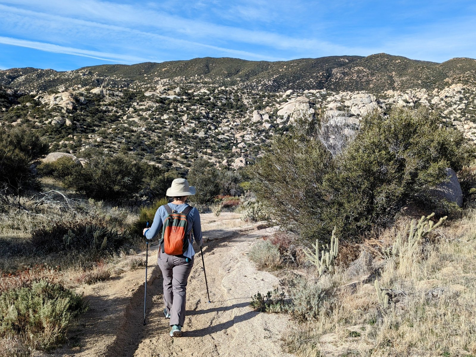
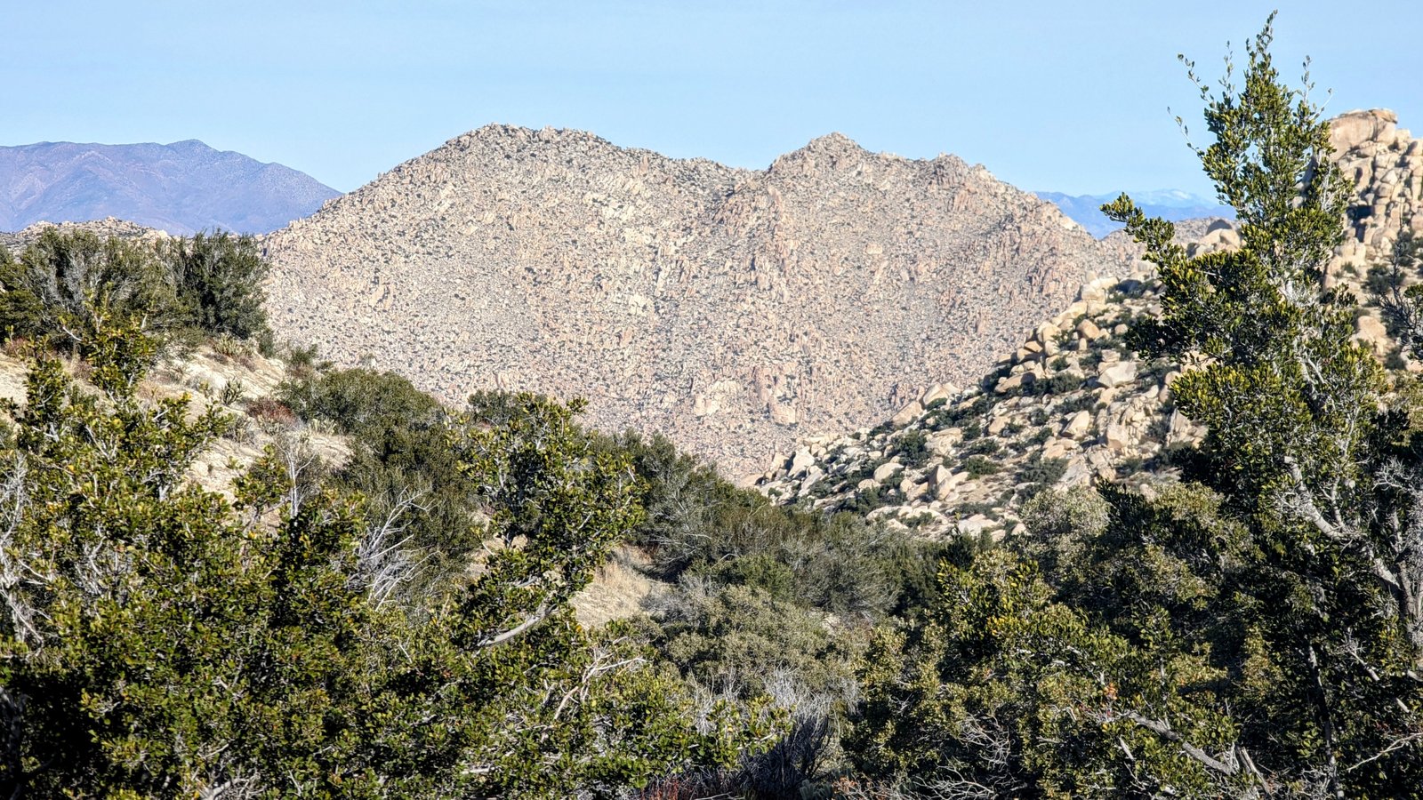
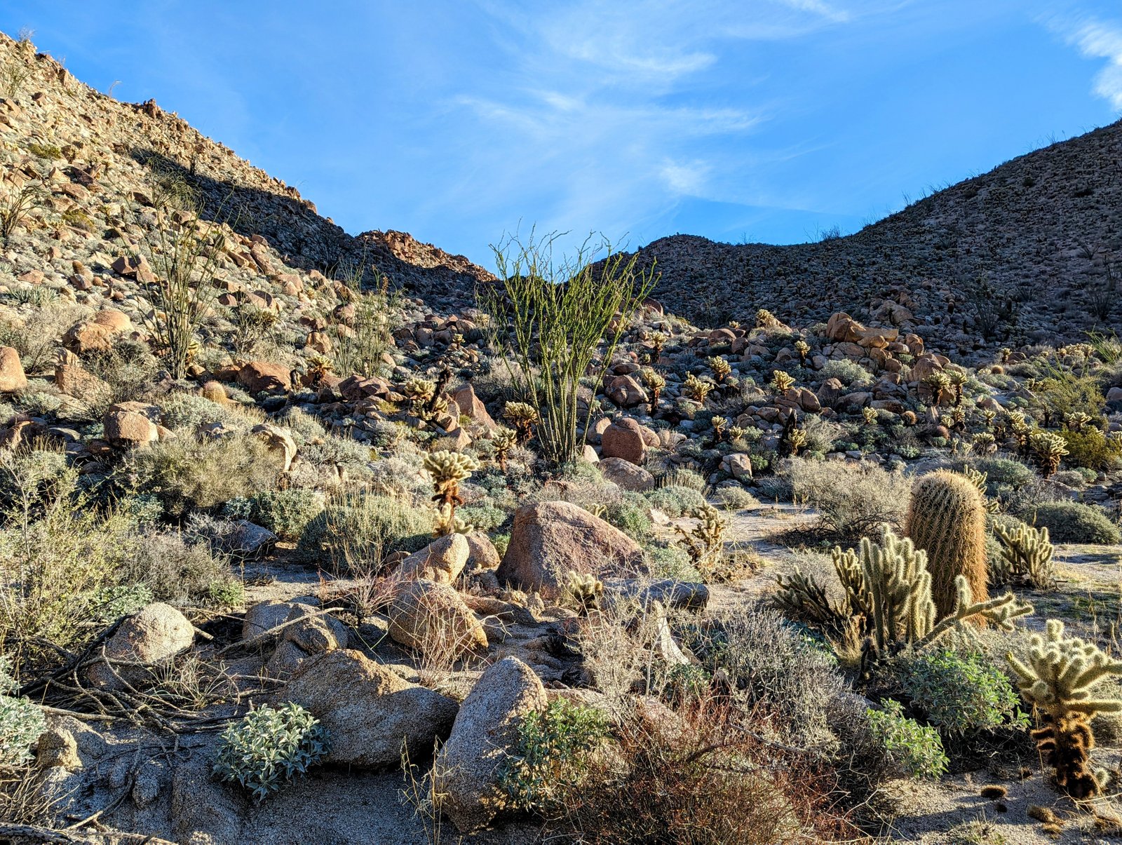
Canebrake Road turns into a single track on its way into Pepperwood Canyon. In some places the trail is extremely steep (1000 feet per mile) and loose, and the dirt bikes have dug a trench nearly waist-high at its deepest.
Frustrating!
But worth it. Most of the time the trail was passable, and there was a real sense of isolation as we spent the whole day without seeing a single person until arriving at the hot springs.
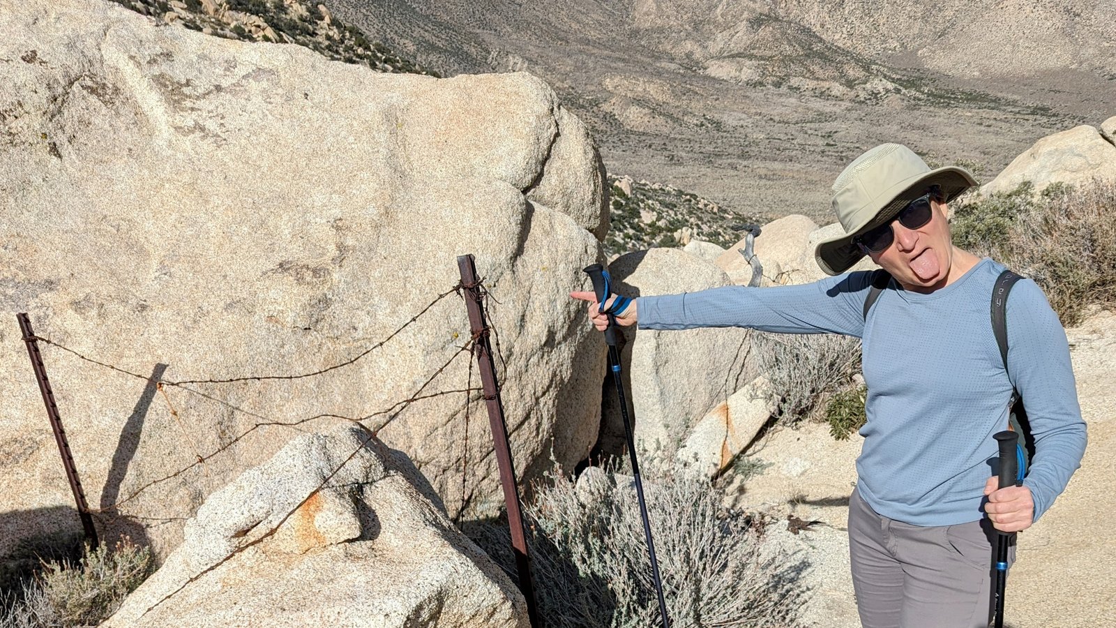
At one point I tripped on some barbed wire rusting on the side of the trail. I almost face-planted, but my handy trekking poles saved the day!
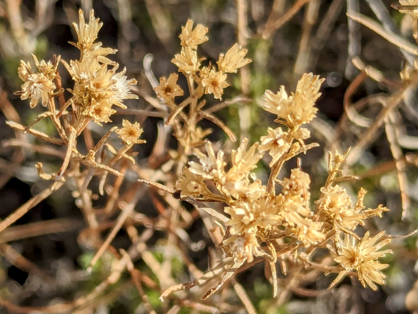
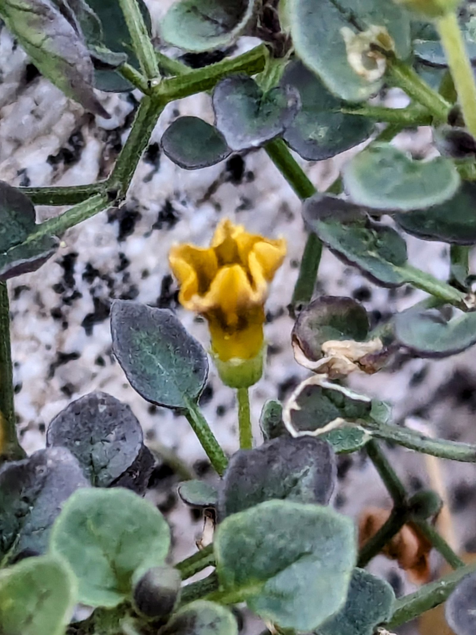
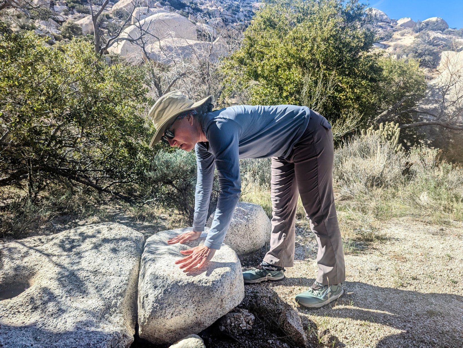
At Pepperwood Spring there was natural water and also a cache of bottled water and food, probably left for migrants who have used this path to make their way north.
It took us about an hour to get down the steepest part, and then we ended up on a brief flat spot above the desert floor before doing another final steep descent.
As I noted above, we crossed Canebrak Wash and continued north cross country to a road on the USGS map that parallels the wash. But it is quickly being retaken by nature.
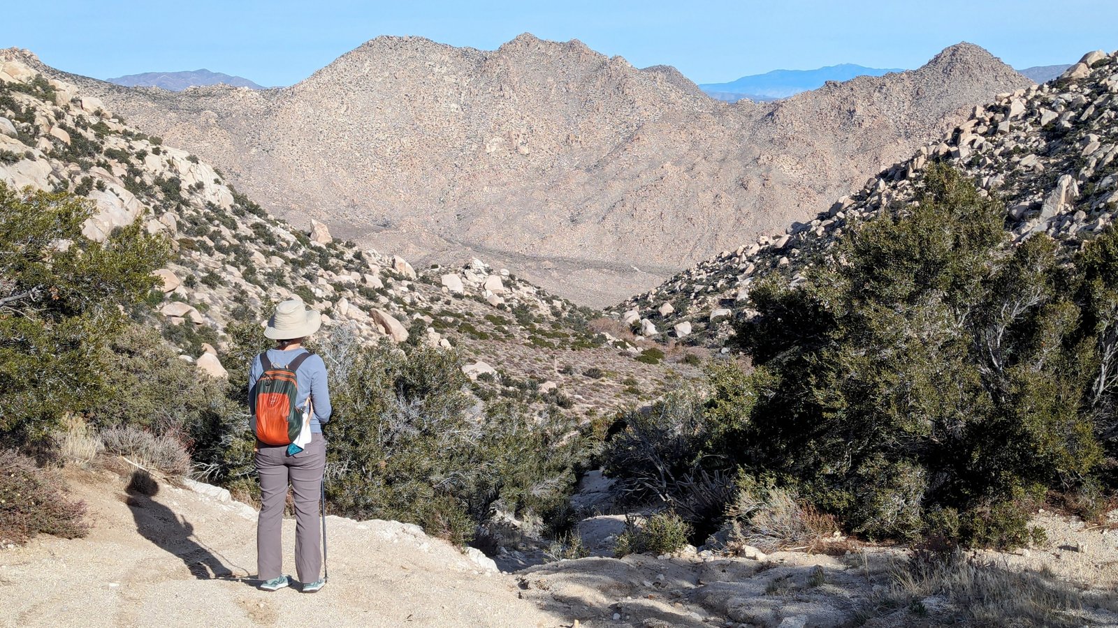
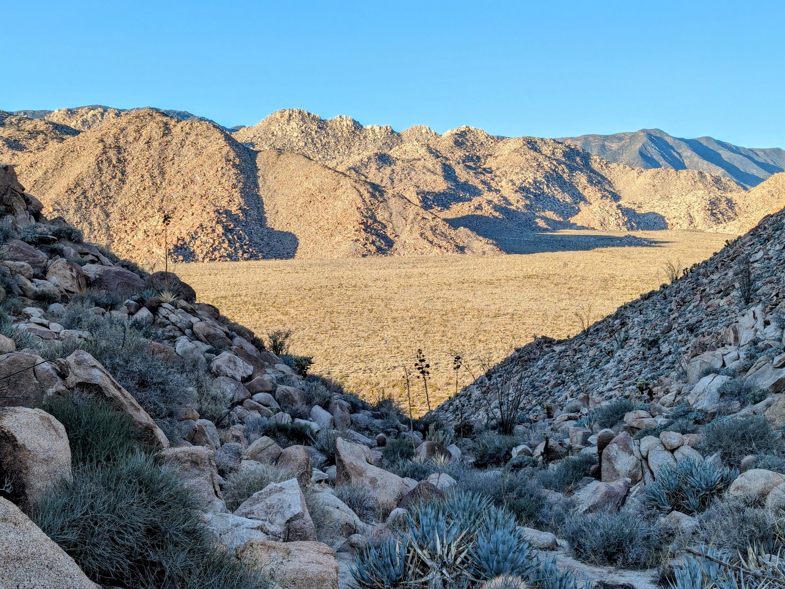
There are very good jeep roads between Canebrake Wash and the Inner Pasture which allowed us to make up some of the time we lost in the car. But once we got to the Inner Pasture it was choose your own adventure.
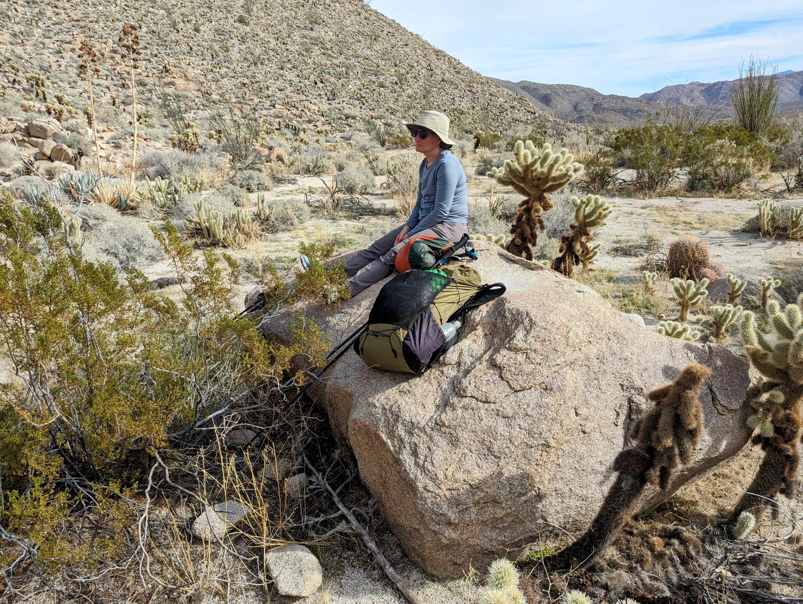
We took a nice long break before doing our final climb. There was a cairn marking the wash to enter, but the scrambling was definitely easier about 50 feet northwest of that marker instead of fighting the very large boulders in the bottom of the wash.
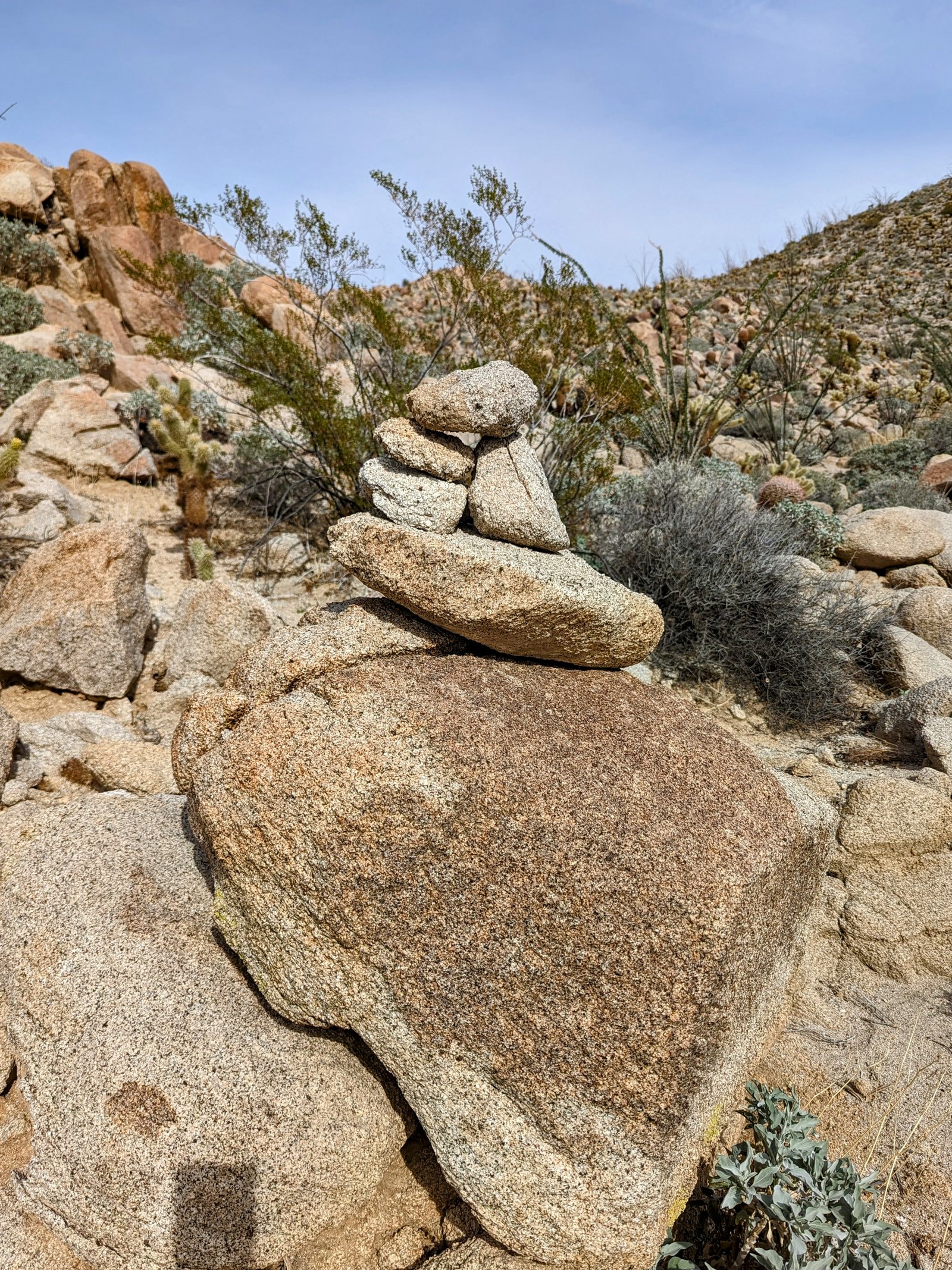
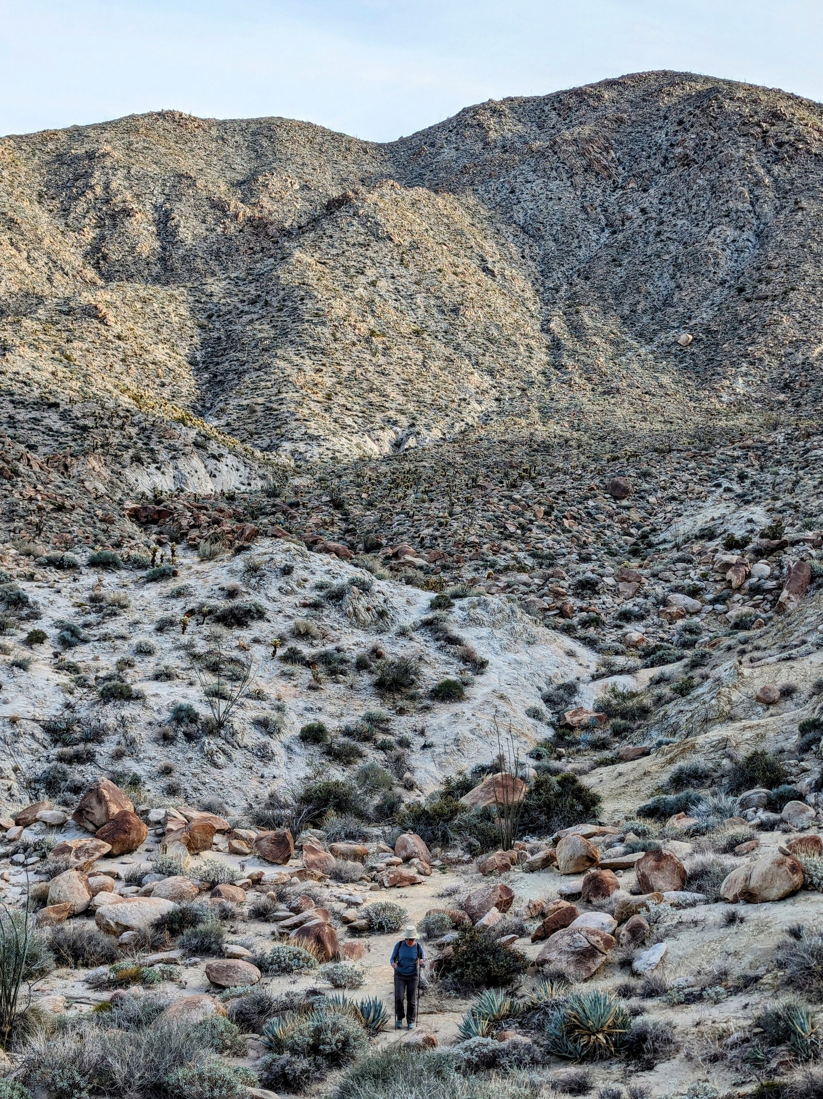
The last tricky part of this hike is finding where to cross from Moonlight Canyon to the trail that heads down the unnamed canyon above Agua Caliente. There is a 30 foot drop off that prevents continuing down canyon to the trail, so you have to climb over a ridge at 1560 feet to get around it. Unfortunately there are cairns all over the place here, and we followed the first ones we saw instead of waiting until we got closer to the drop off. It worked out, but we had to climb and descend three ridges instead of just one.
We had a rustic cabin booked at Agua Caliente so all we had to bring were sleeping bags and air mattresses. And our camp stove, of course!
The next morning we started the trip back at first light. We were a little worried that the 4,000 feet of climbing would take longer than our daylight would last. But it turned out just fine. The return trip on Day 2 only took an hour longer than the original descent on Day 1.
We made very good time now that we knew the way. We found a nice spot for first lunch in the shade of an ocotillo.
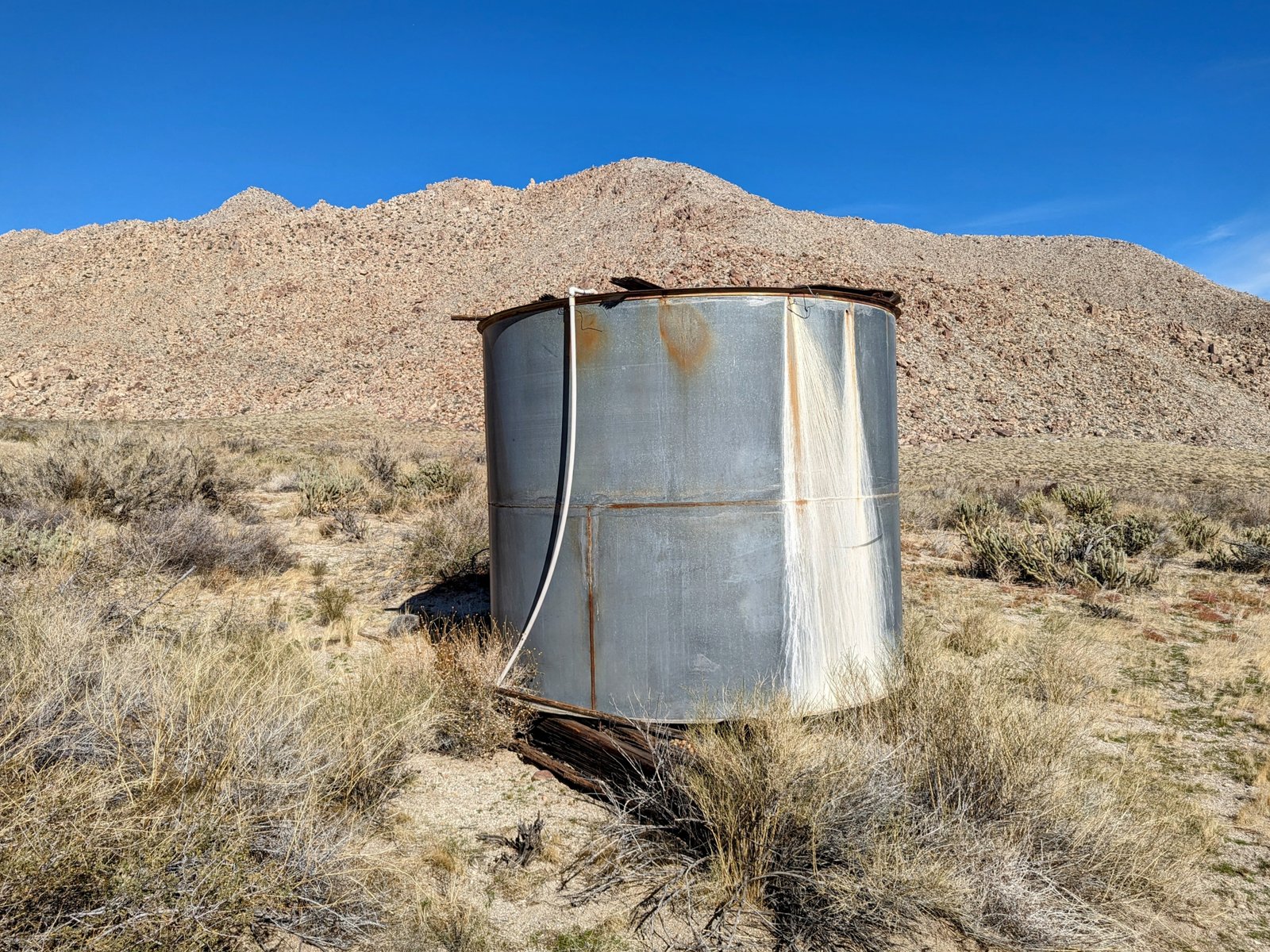
Afterward we followed a single track across Canebrake Wash to a road on the south side. The road took us by some abandoned water infrastructure.
As I mentioned before, we followed that road to its end and then tried to cross country up to the single track into Pepperwood Canyon. It was less than a half mile, but brutal. Rocky and full of cat claw! We were both quite scratched up by the time we returned to trail. Next time I would follow the single track instead of the road.
At the trail we crowded into the shade of a boulder and recovered.
And then it was time to climb. 2,000 feet up steep, loose, dirt-bike scarred trail. We took multiple breaks for water and snacks. But it wasn’t as bad as I feared!
For second lunch we ate bread that our son Double Sub made us. It was perfect with peanut butter and honey!
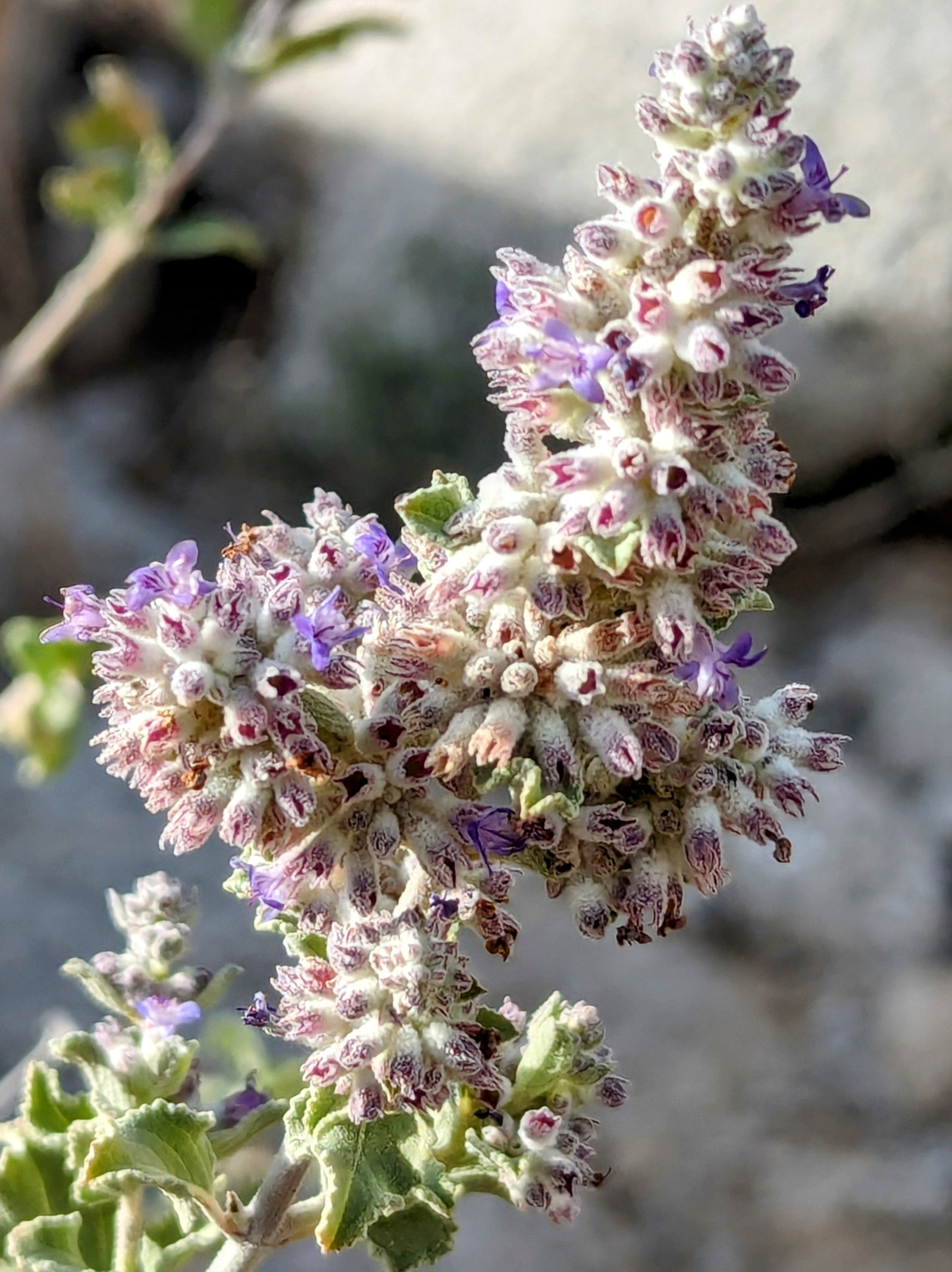
At Pepperwood Spring we took another break in wonderful shade. This place has seen lots of humans over the last few thousand years…..
After another hour we were (mostly) done with the climb.
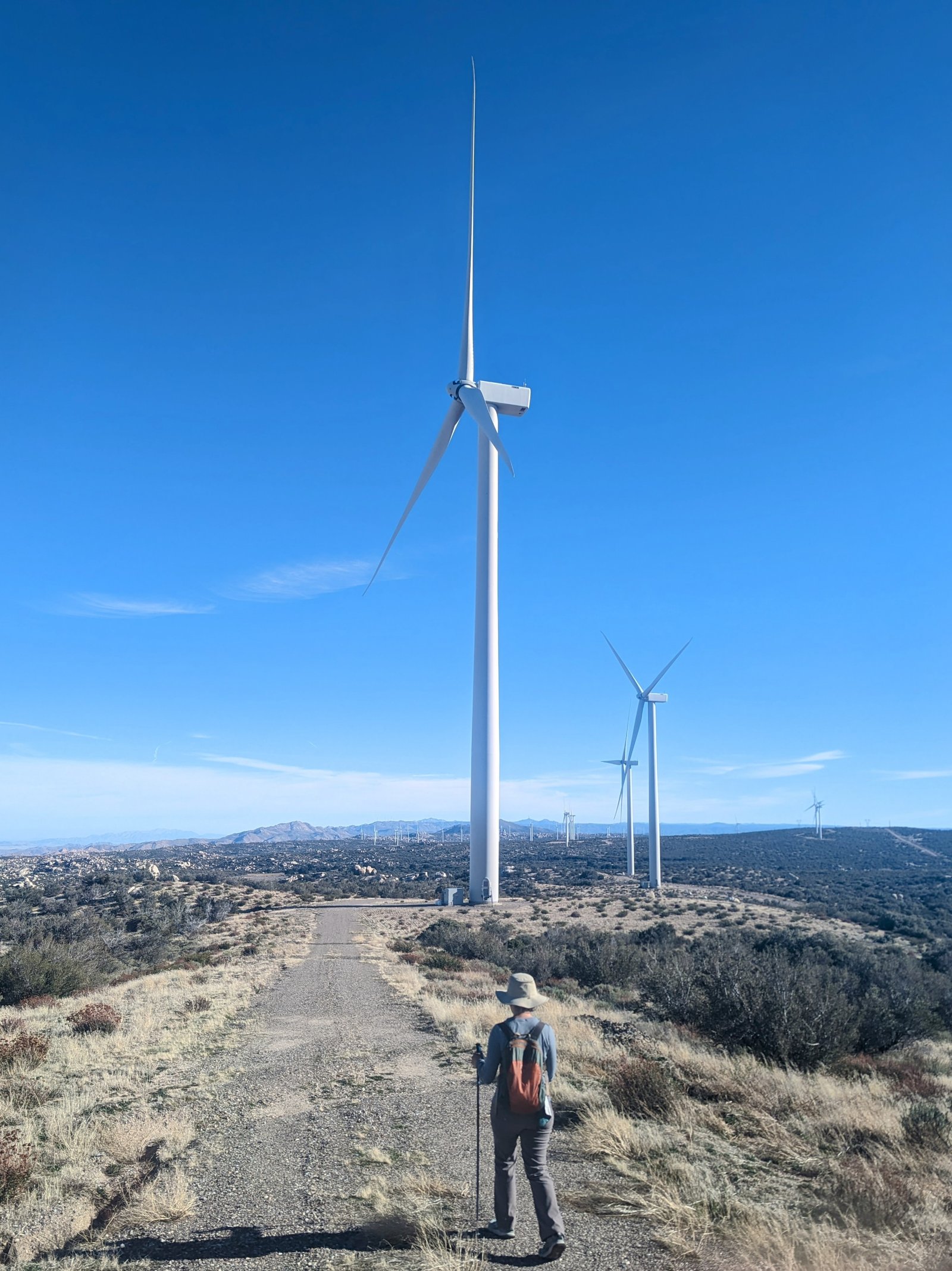
When we neared the trailhead, we detoured to follow the radio tower road past giant wind turbines back to the car.