26 July 2024
Independence Creek to Oak Creek
(5 miles, +400/-1,200 feet).
I was originally planning to attend the High Sierra Topix 2024 Meetup this week but the weather forecast called for a strong Sierra monsoon to peak right when I was supposed to be going over Italy Pass. So I bailed on that plan and hatched another.
I have only done two of the four “hard passes” of the eastern Sierra, Sawmill and Taboose. I have not done the other two, Baxter and Shepherd.
I have also never been to Sixty Lakes Basin, Gardiner Basin, or Center Basin, all of which roughly lie between Baxter and Shepherd Pass.
So I created a nice loop.
The idea is to park my car off the Onion Valley Road, walk on Inyo National Forest land to the Baxter Pass trailhead, take the Baxter Pass Trail to Rae Lakes, then take the trail up to Sixty Lakes Basin. Head cross country over Sixty Lakes Col into Gardiner Basin, come back out Gardiner Pass to Charlotte Lake, then hike back to the John Muir Trail to get to Center Basin. From there I can use Junction Pass to get over to Shepherd Pass and then descend the Shepherd Pass Trail and walk back on Foothill Road from the trailhead to my car.
I brought four days of food. I hope it’s enough!
I got a late start this morning because my son was on TV! He works as a data scientist for the State in Washington and had to attend a televised legislative meeting there.
Once the session was over, I hopped in my car (borrowed from Sobo Baggins — thank you so much!) and cruised from San Diego up the 15 to the 395. The southern Sierra skies were heavy with smoke from the Trout Fire, which is burning the Dome Land Wilderness where I hiked earlier this year.
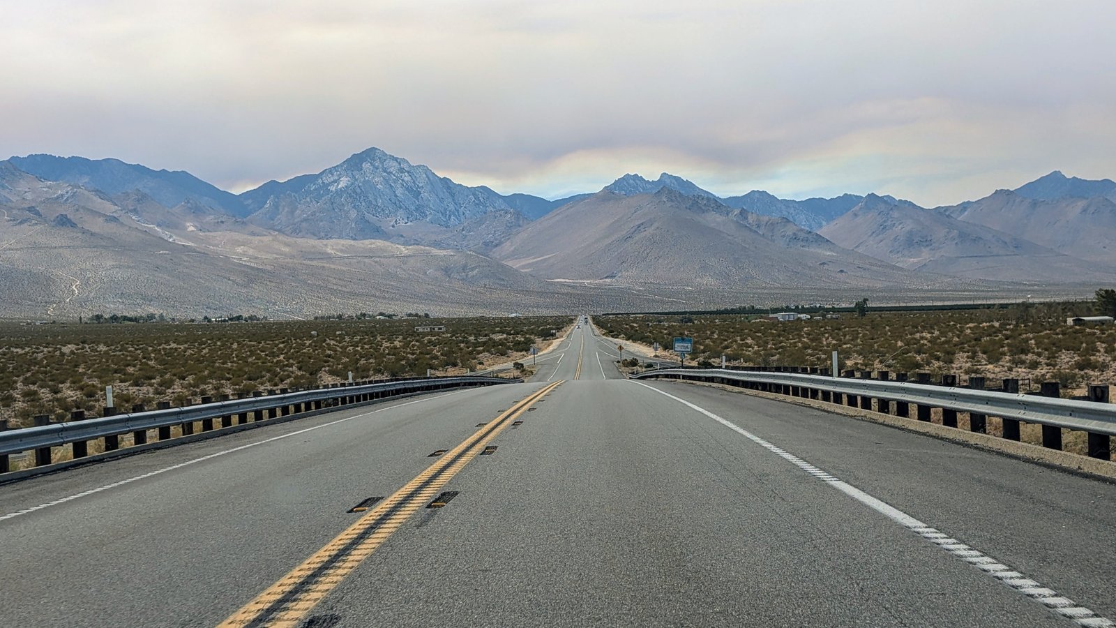
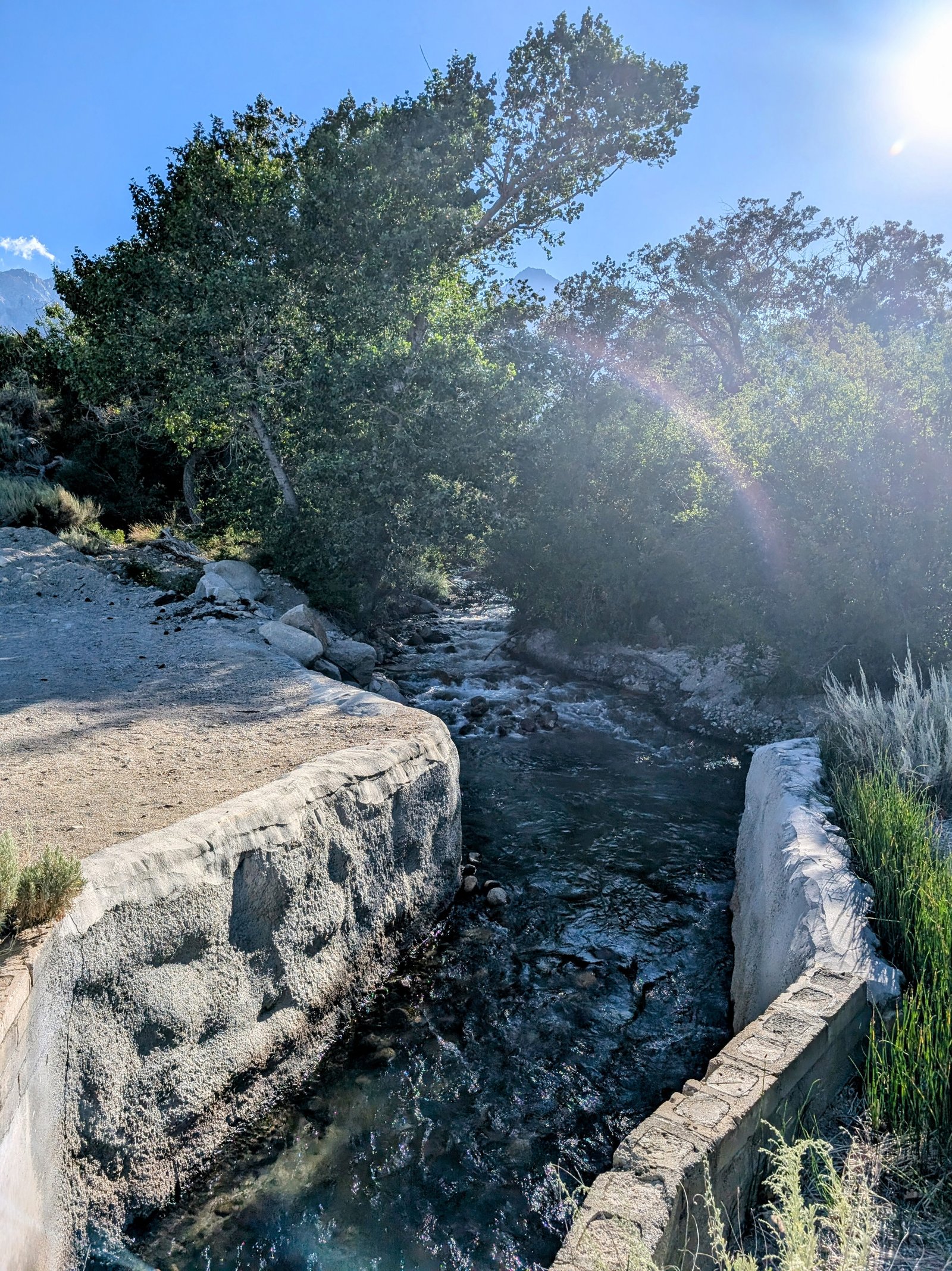
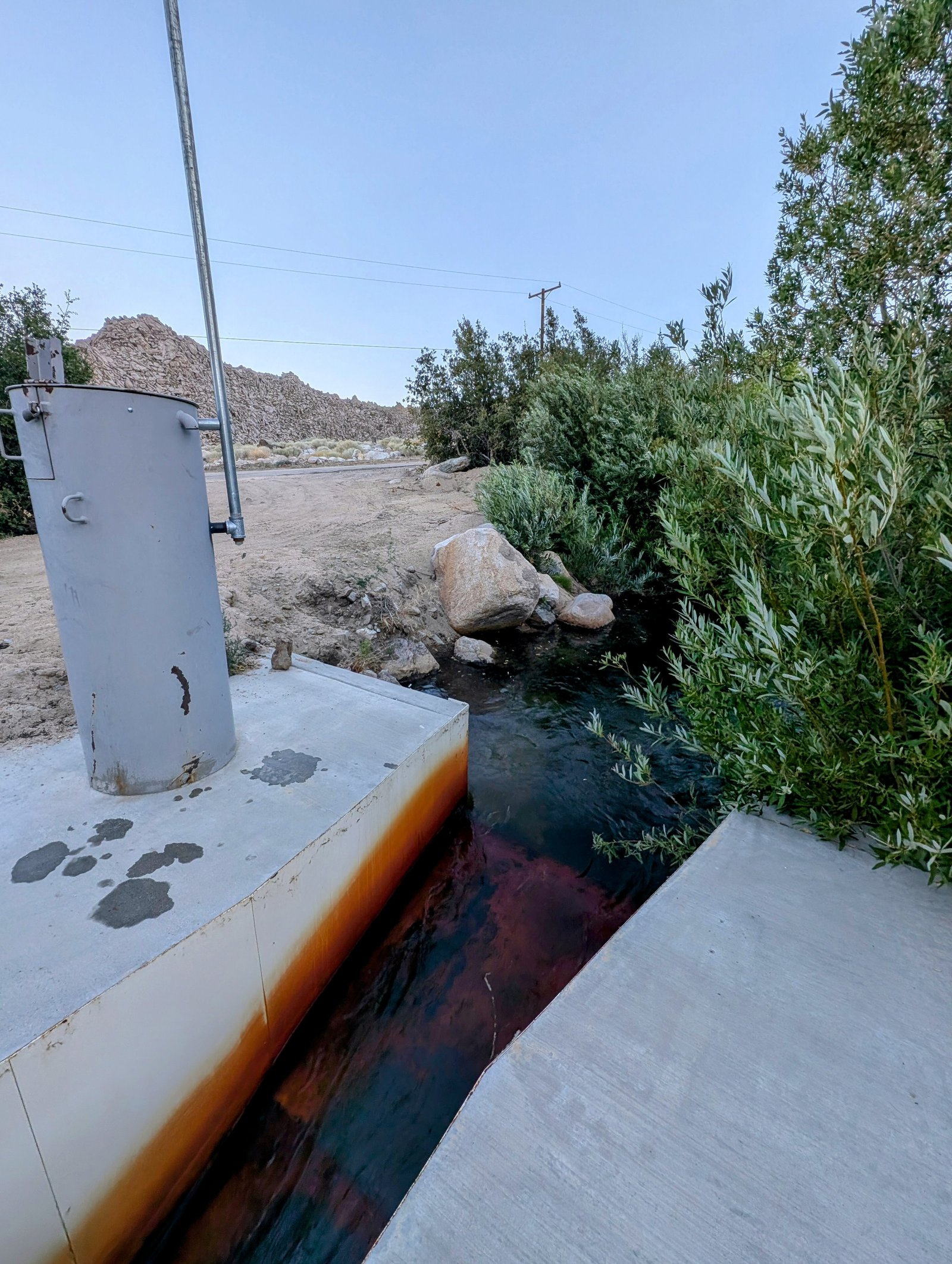
I had to stop in Lone Pine to buy a puffy jacket (I left mine at home - d’oh!). By 6pm I made it to Independence Creek where I parked by a gaging station at about 5400 feet above sea level.
It was about 90 degrees when I started walking, but the sun was already low and a strong wind kept me cool enough.
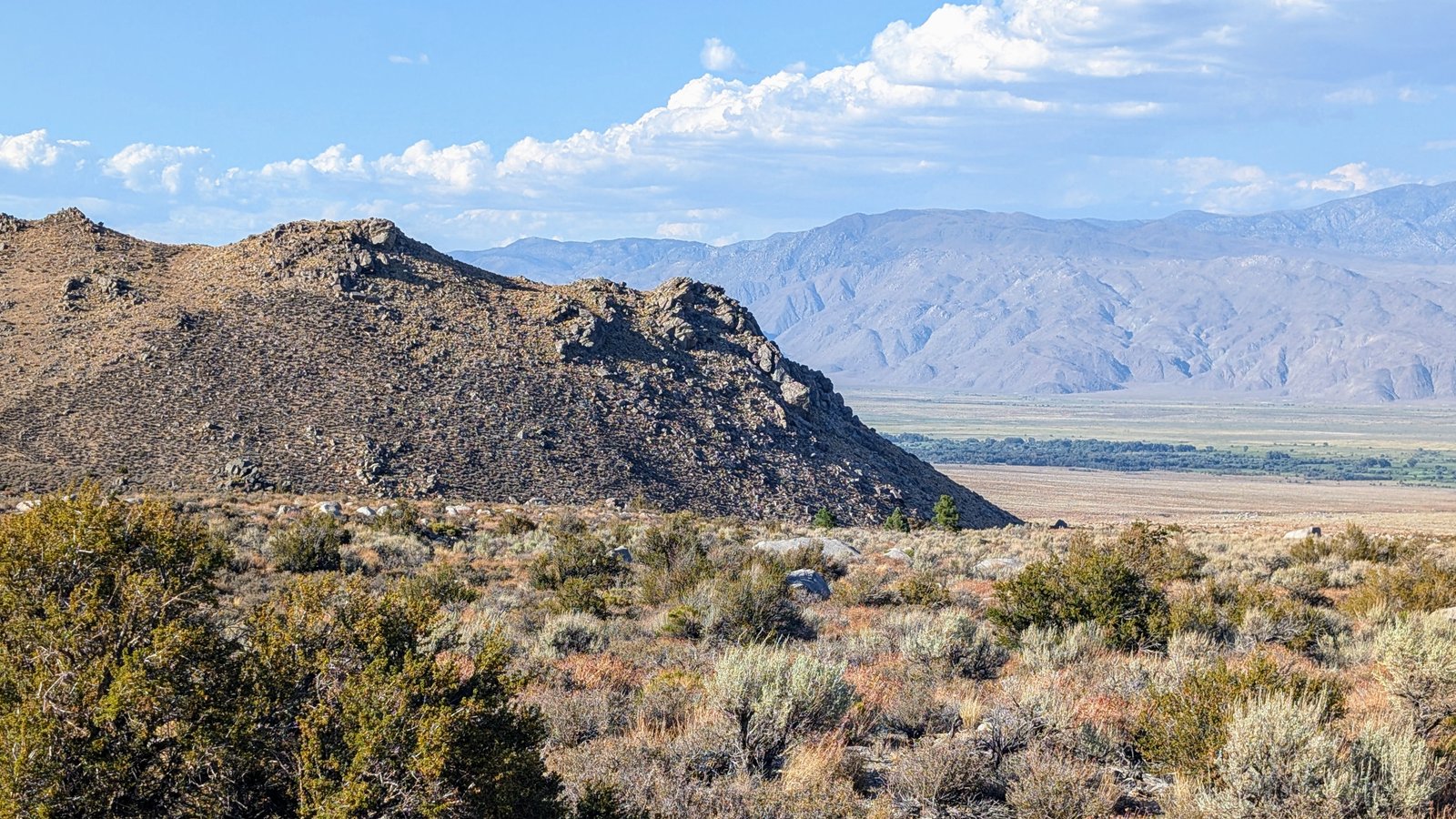
The route was a mix of jeep roads and easy cross country through rocky sage flats.
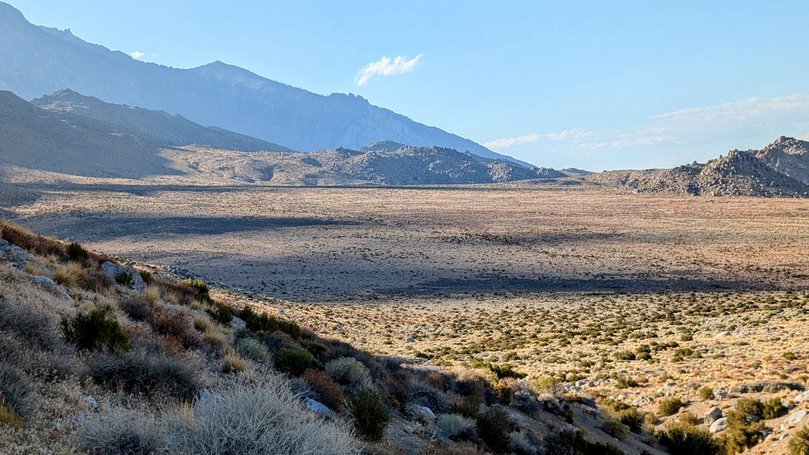

I followed Road 13S109 to Road 13S18A and once I hit Road 13S18 I continued north cross country until I reached a private property boundary inside the Inyo National Forest.
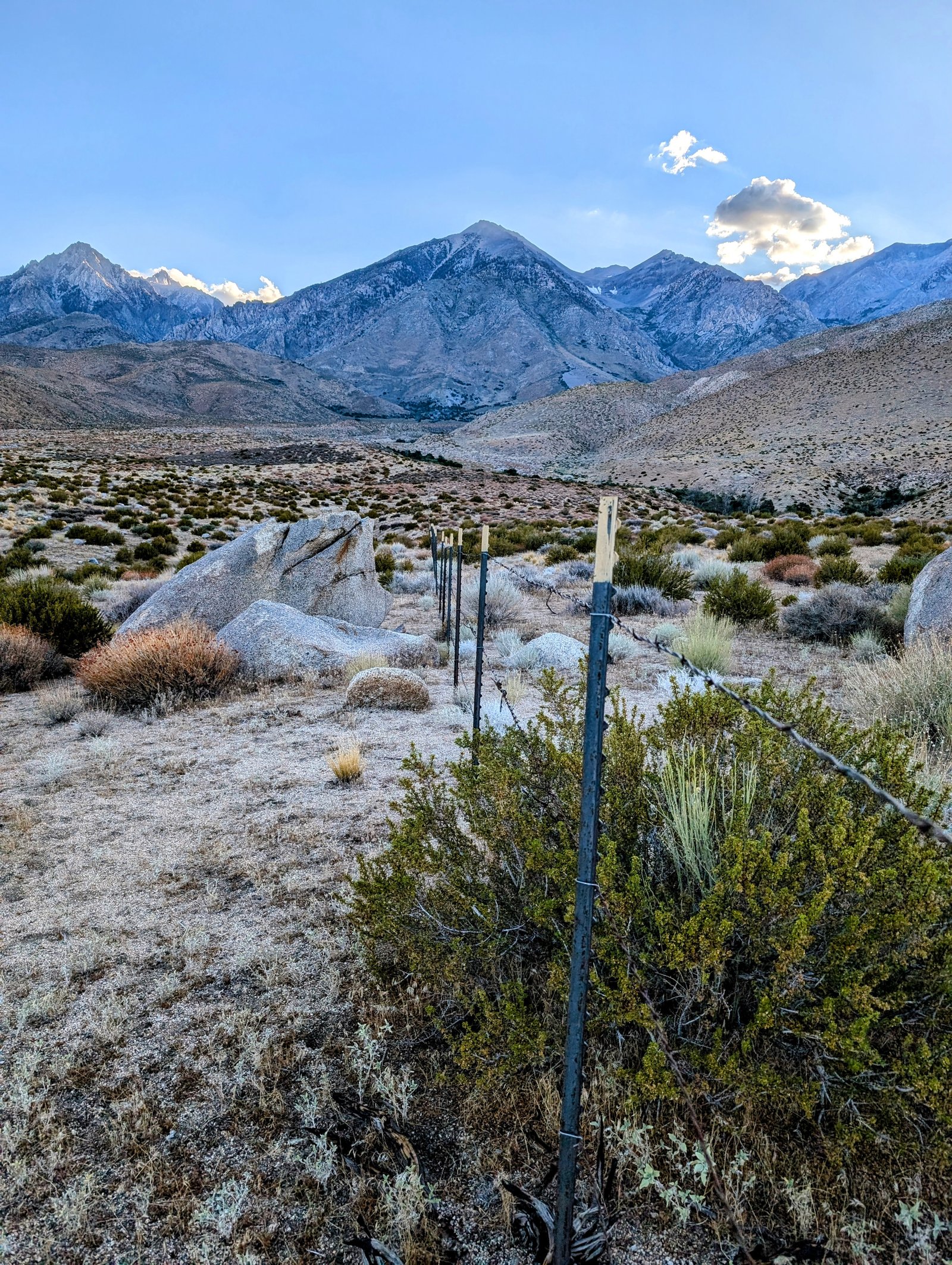
I followed the fence east and then north until I reached road 13S03, where I crossed Oak Creek and got water for the night at another gaging station.
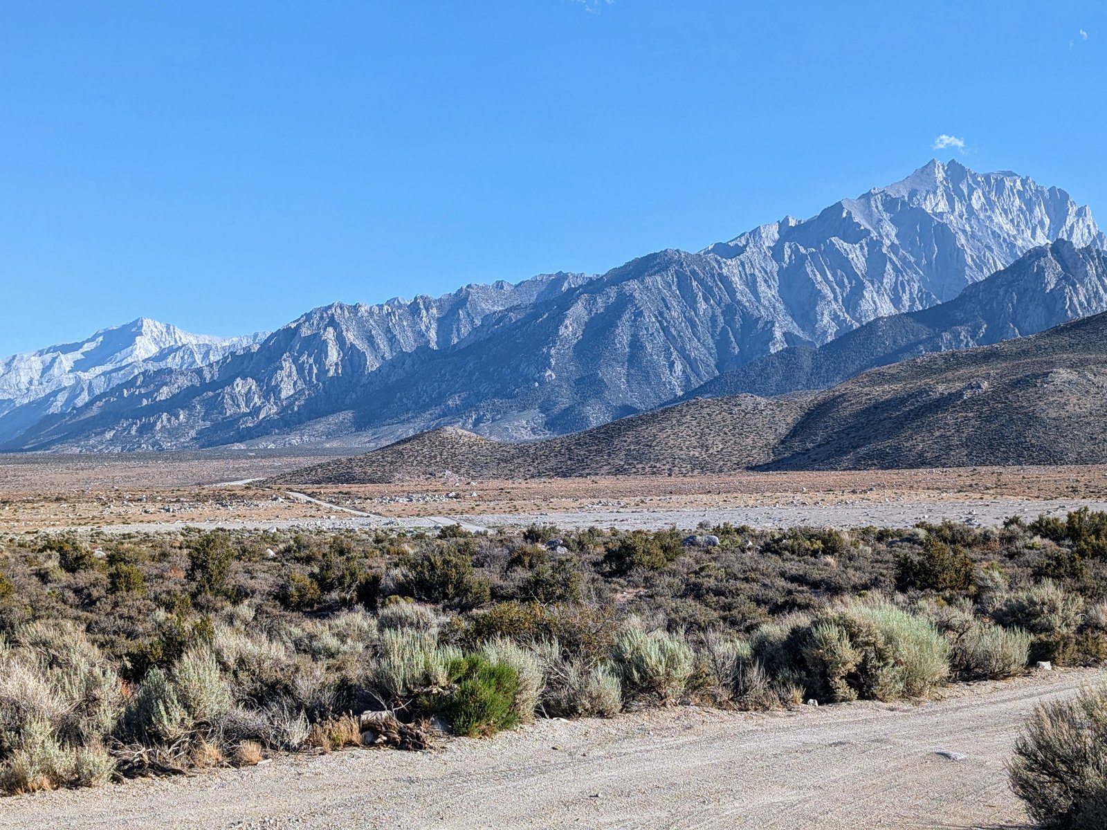
I stayed west of Oak Creek near steep hills where I should have camped. The site was well protected from the strong west wind.
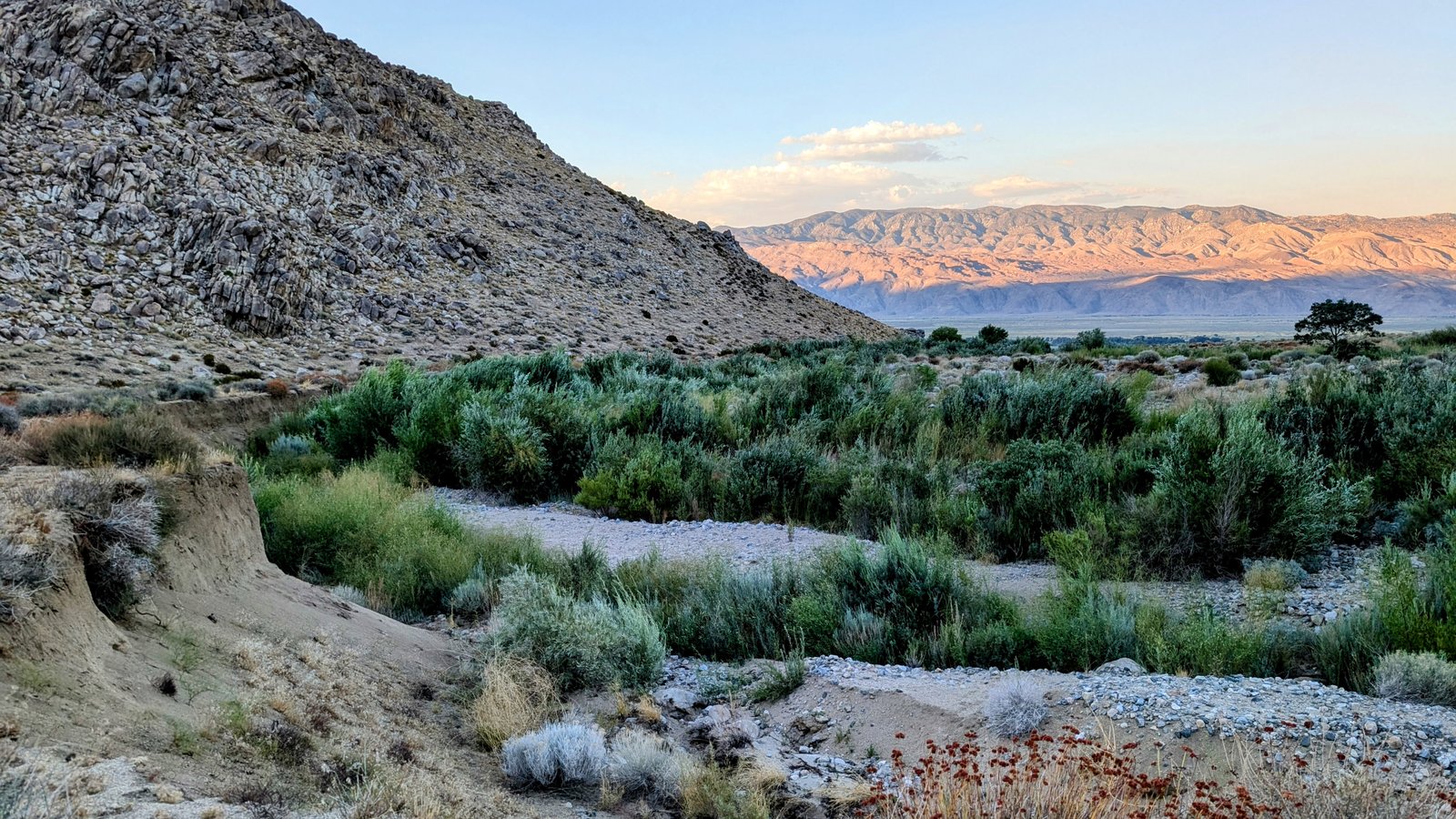
Instead I pressed on. But I had to stop short of another set of roads near a fenced property with dozens of bee hives. I didn’t want to get too close in case I was unknowingly trespassing. So I set up camp away from the road on a nicely level but unfortunately windy alluvial flat.

I hope I can sleep tonight!
