29 September 2024
Upper Rancheria Trailhead to Woodchuck Lake
(9 miles, +2,700/-900 feet).
This is a Plan B trip!
Ultrashuffle, ChiaGlyph, and I were originally slated to attempt the Lowest to Highest hike that starts at Badwater Basin in Death Valley and ends at the summit of Mount Whitney.
October is supposed to be a good month for Lowest to Highest, with lower temperatures in Death Valley but before significant snowfall on Whitney.
But it was 115 today in Death Valley! And seeing that weather forecast a week ago made all three want to do something else.
So instead, we looked to the High Sierra. It normally starts to get cold this time of year, but the warm weather in the forecast promised above-freezing low temperatures, even at the highest elevations.
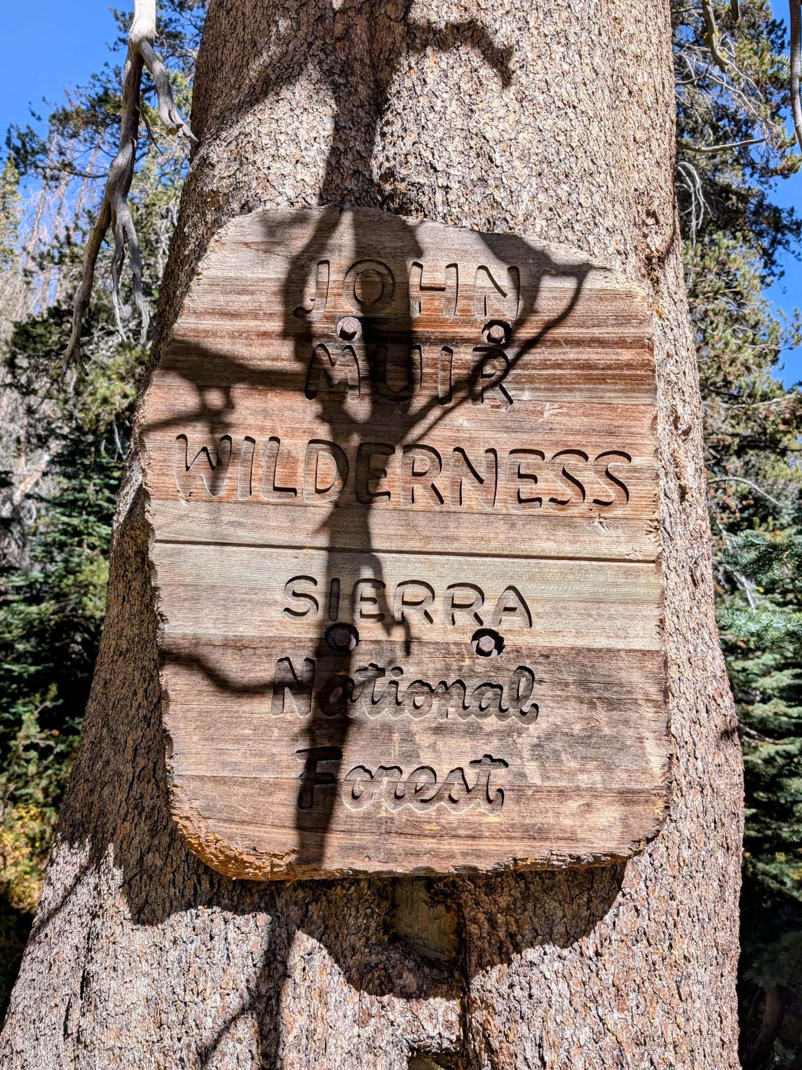
And we also looked at places that normally would be too wet, hot, or buggy at other times of year. One that has been on my list for a long time is Tehipite Valley. In the 1870s John Muir compared it favorably to Yosemite. But since it is deep in the mountains connected only by unmaintained trails, hardly anyone goes there.
Perfect!
So the plan is to head up from the Rancheria Trailhead to Blackcap Basin, go off trail over Valor Pass and around Martha and Davis Lakes to Evolution Basin, and then follow the Middle Fork Kings River all the way down from Muir Pass at 12,000 feet to Tehipite Valley at 4,000 feet.
Cool!
And then somehow we get back to the car at 8,000 feet. But we’ll figure that out later!
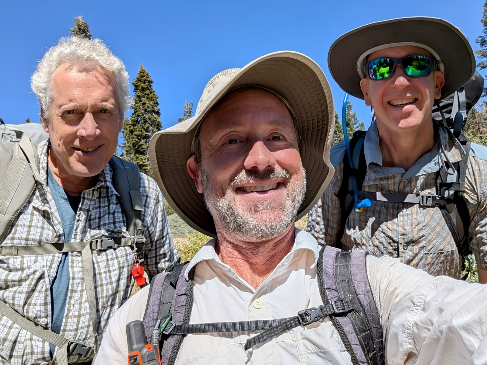
We all gathered in San Diego yesterday and today we drove up to the High Sierra Ranger Station to get our permit. The person who we interacted with did not really have any information about our route (“water sources are intermittent”), but there was a fantastic photo op.

From there we wound our way up to the Wishon Reservoir and then the Rancheria Trailhead before taking the very narrow and sketchy Hoffman Road and Little Rancheria Road to a higher trailhead. We had an all wheel drive rental car that worked okay, but in hindsight I think I would have just hiked the extra mile between the trailheads instead.
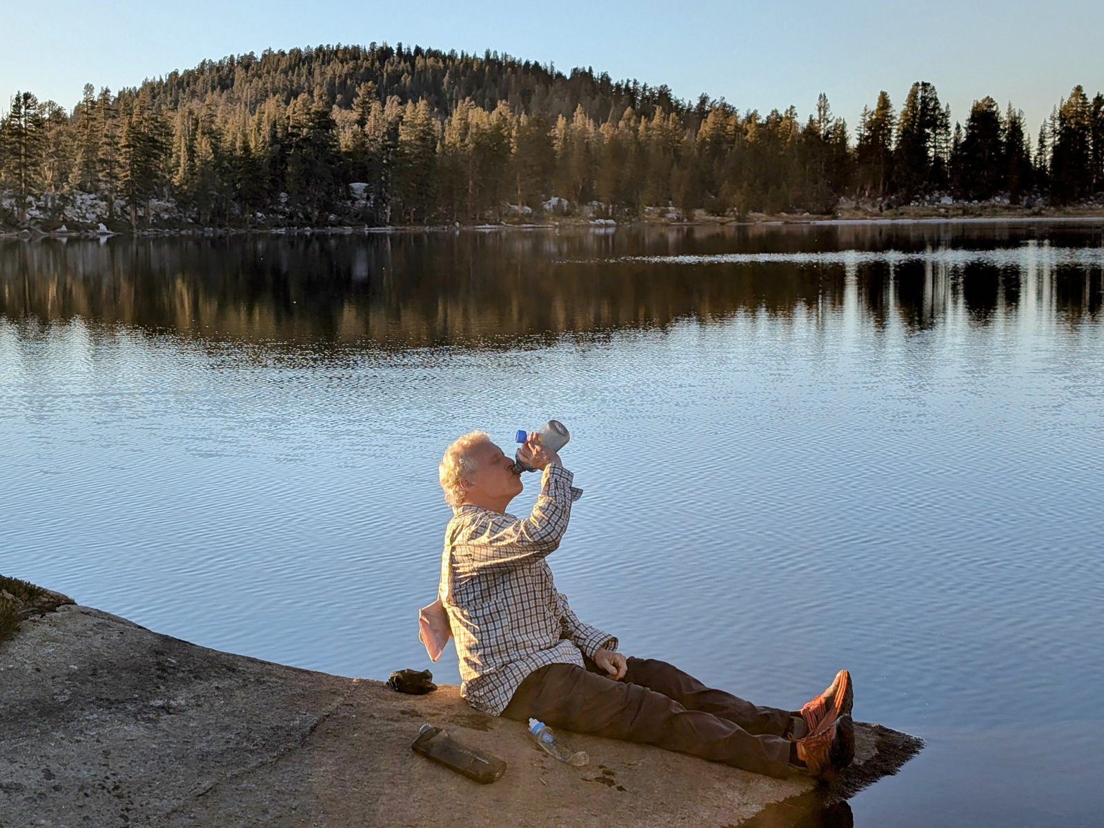
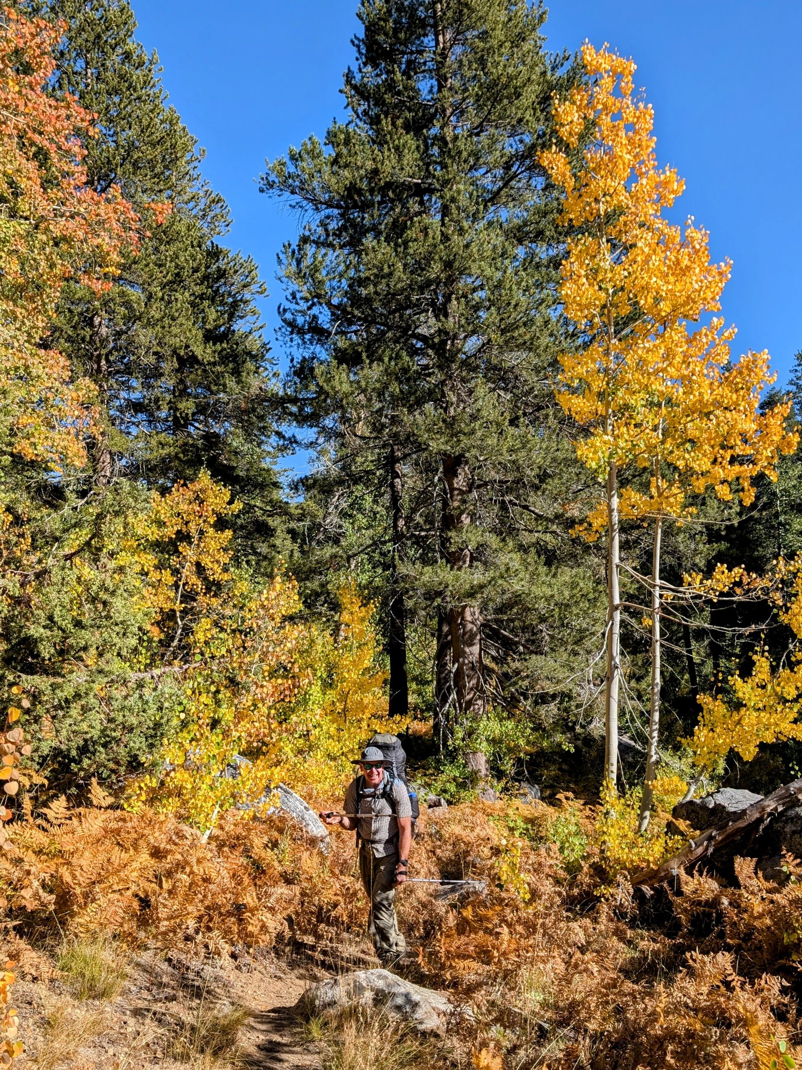
By 1:45pm we were ready to start hiking.
We grabbed more water at Woodchuck Creek and took a brief break near Lacy Camp before pressing on.
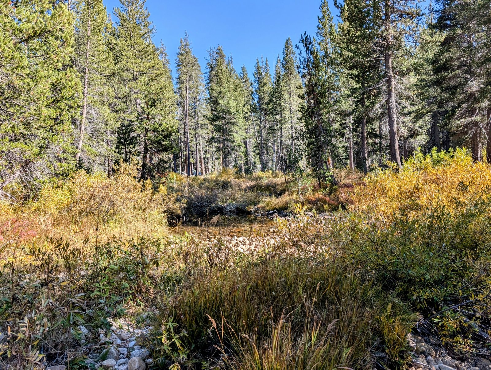
This whole area is labeled “Woodchuck Country” on the USGS map. I wish I had seen a woodchuck, but all I saw were a few of their dirt mounds.
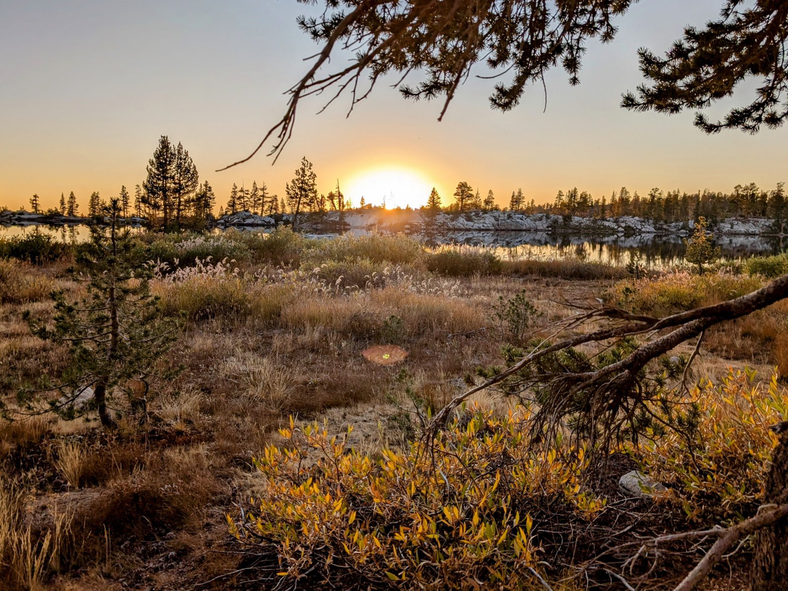
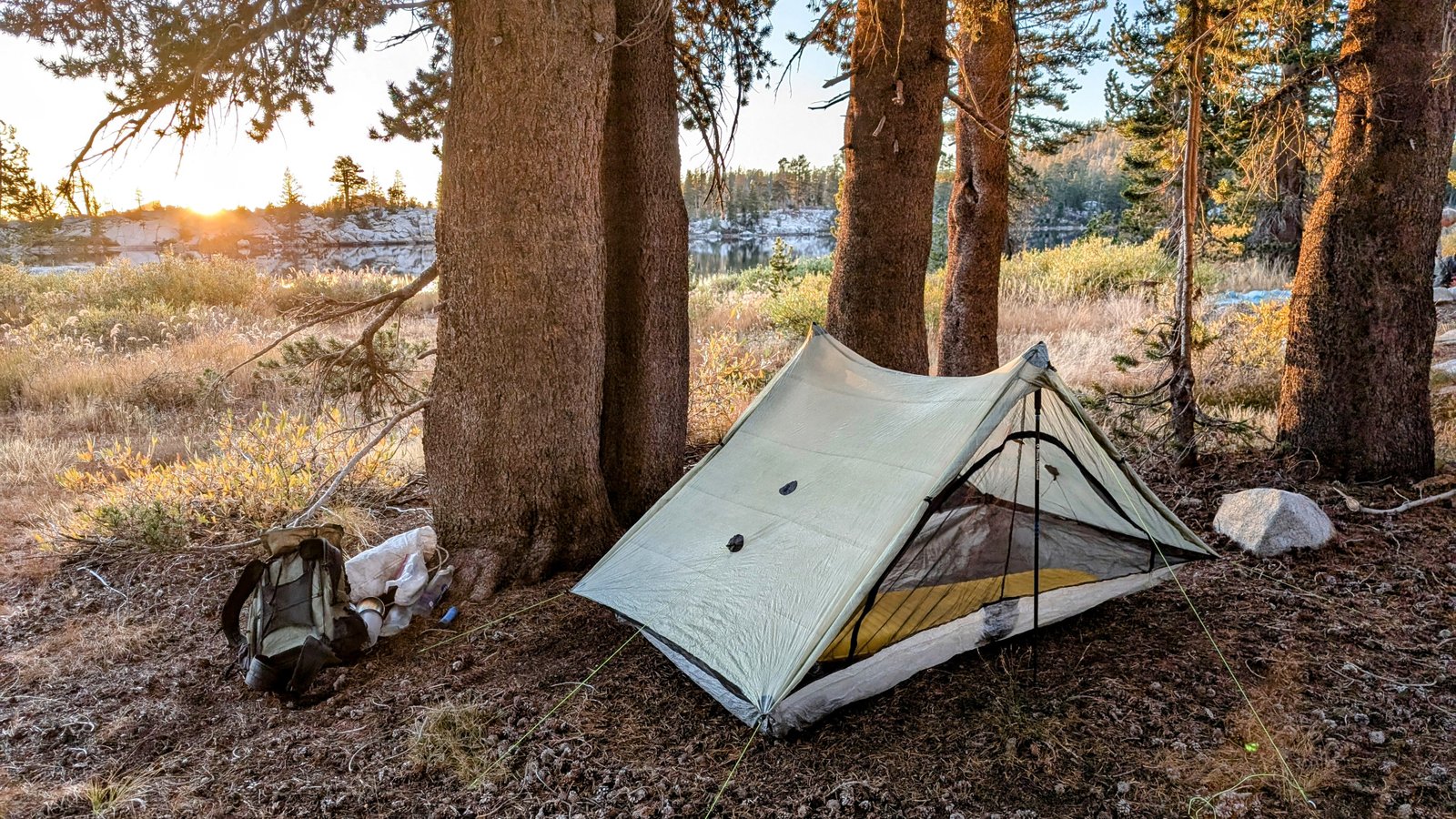
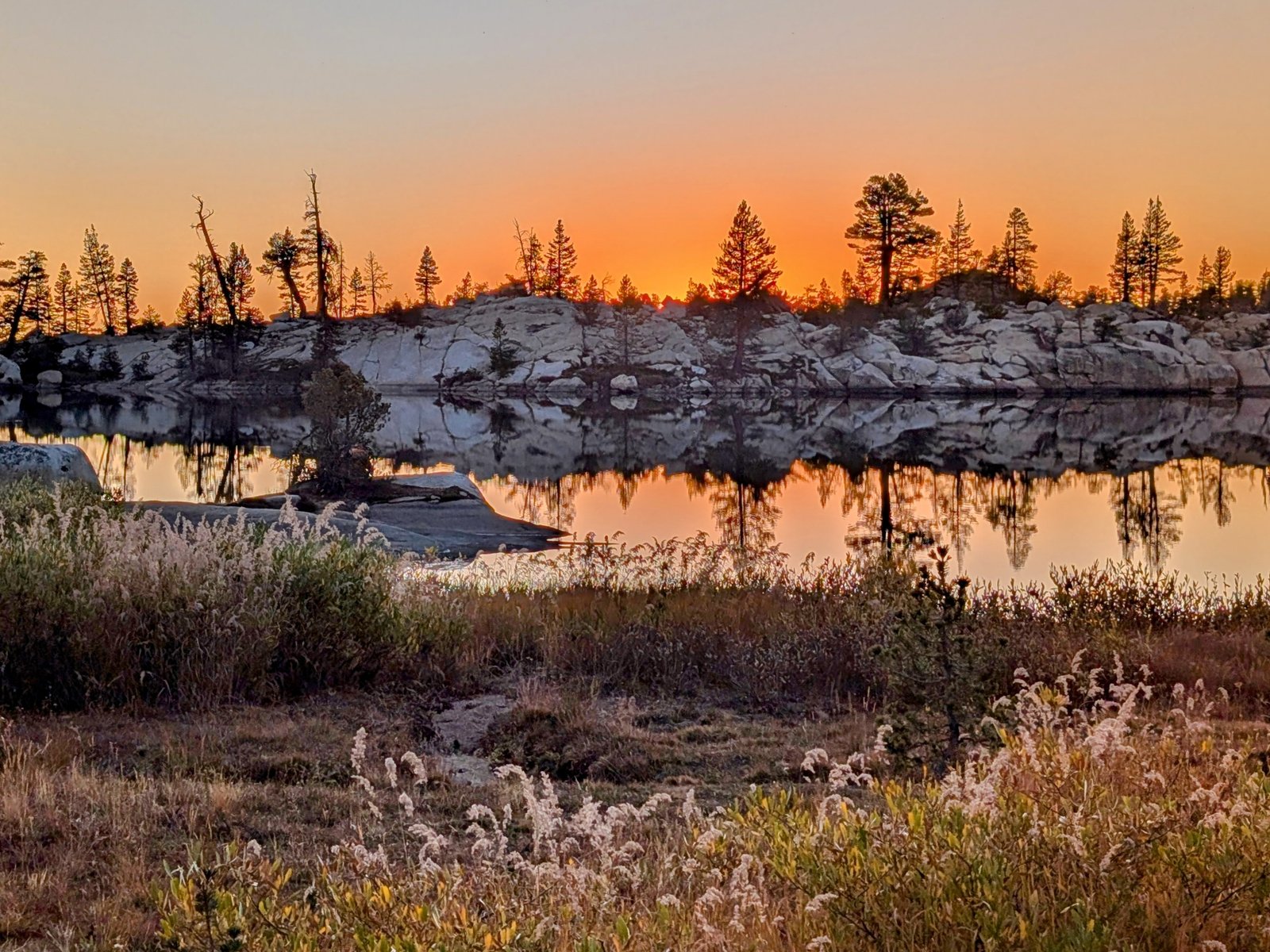
As the sun was setting, we made it to our final destination for the day, Woodchuck Lake.
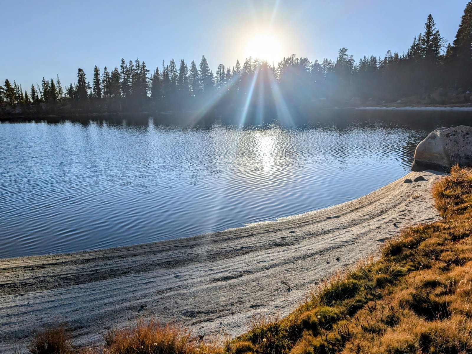
We headed for a campsite marked on the map and were greeted by a vicious dog running towards us down the hill. Its owner yelled “no” and it retreated, but we kept moving, opting to search instead for sites on the southeastern part of the lake.
And we found one that was just about perfect. Ensconced in a grove of trees, but with a view of the sunset that was to die for.