Day 3: Valor Pass and Davis Lake Pass

1 October 2024
Pearl Lake to Wanda Lake
(11 miles, +3,100/-2,300 feet).

Today was one of the most scenic days of hiking that I have ever done. It reminded me a lot of the best days on the Sierra High Route. In total, I think we saw 21 lakes, all but one of which were off trail! I would not only recommend this route to others, but I would also love to do it again some time.

That said, it was also an EXHAUSTING day. We pretty much hiked sun up to sun down, and the last two hours of the day were tedious talus. If it had not been so beautiful, I might have felt a bit annoyed towards the end.

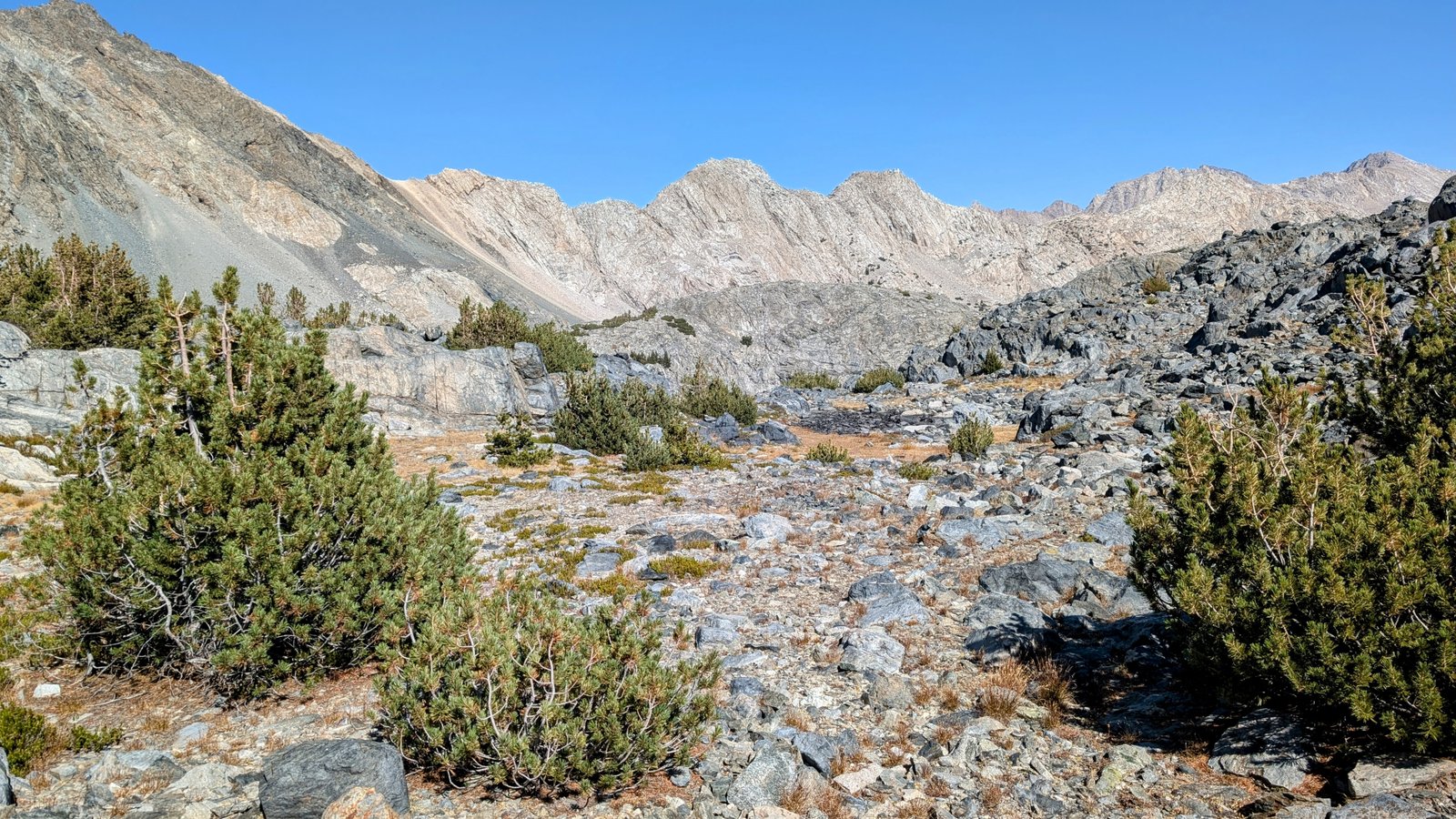
We started the morning with a climb up from Pearl Lake to Division Lake.

pxl_20241001_1411532282
Division Lake

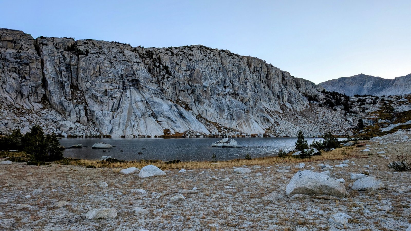
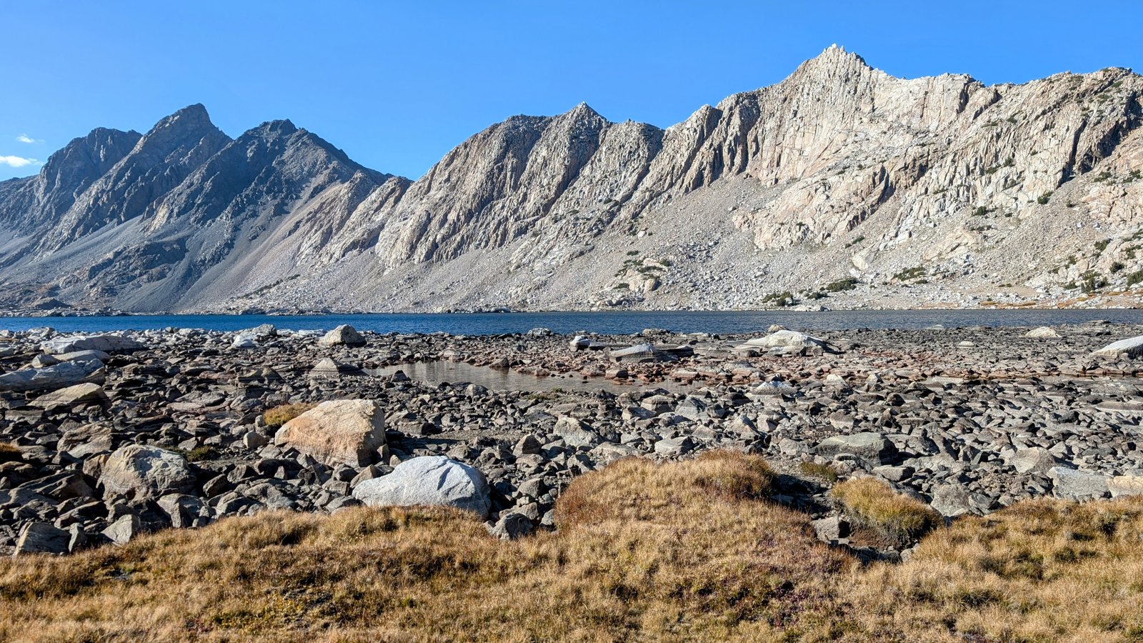
We then headed for a saddle at 11,000 feet before descending to Bighorn Lake.

pxl_20241001_1426175972
Up to the saddle …
pa0100802
… and then back down …
img_7222
… to Bighorn Lake.
pxl_20241001_1437524882
Wow!
pxl_20241001_1439385922
Here come Ultra and Chia
pxl_20241001_1443074092
Bighorn Lake reflection
pa0100832
JimmyJam likes it!

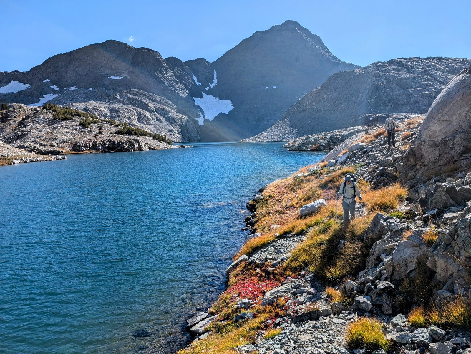
From there we contoured around to Ambition Lake.

pxl_20241001_1450508842
Cliffs above Ambition Lake
pxl_20241001_1500486532
Ambition Lake

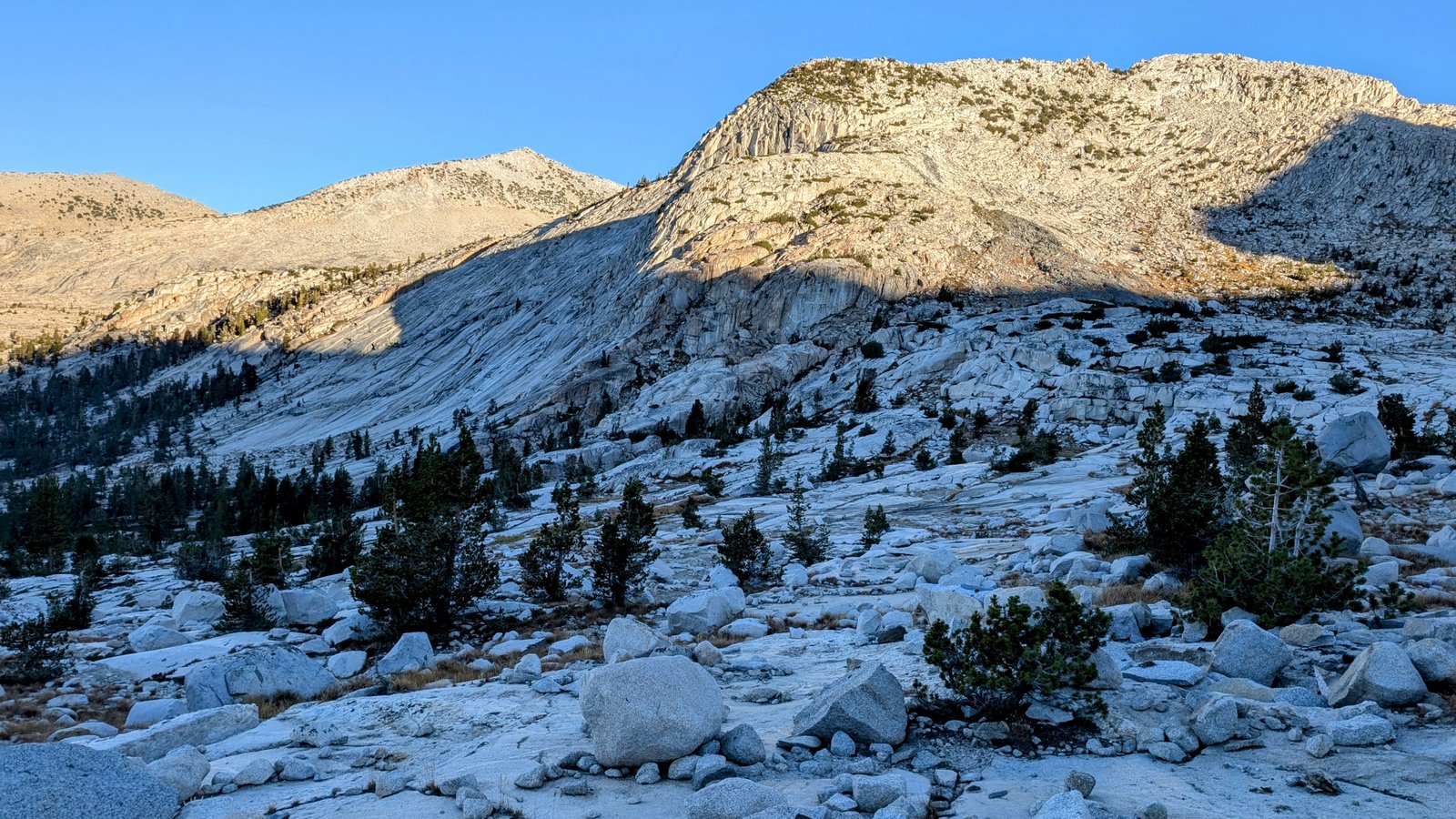
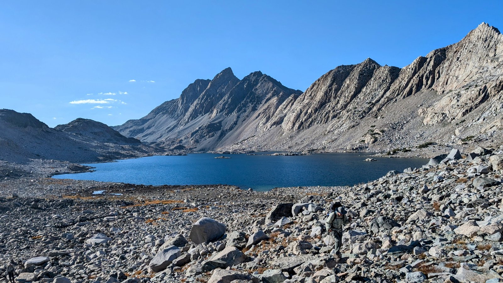
We then passed the lake on its eastern shore to find a route up to Valor Lake.

pxl_20241001_1515027002
Chia looks at the route up to Valor Lake
pxl_20241001_1515145722
Wardrobe adjustment!
pa0100933
Continuing up
pxl_20241001_1520460122
Looking back towards Peak 11756
pxl_20241001_1523437352
Bighorn Lake from above
pxl_20241001_1523496842
This is wonderful!
pxl_20241001_1527528812
UltraShuffle climbs …
pxl_20241001_1527599652
… above Bighorn Lake
pxl_20241001_1535468572
Chia makes it to the top
pxl_20241001_1552372472
Rounding Valor Lake
pa010095
Valor Lake

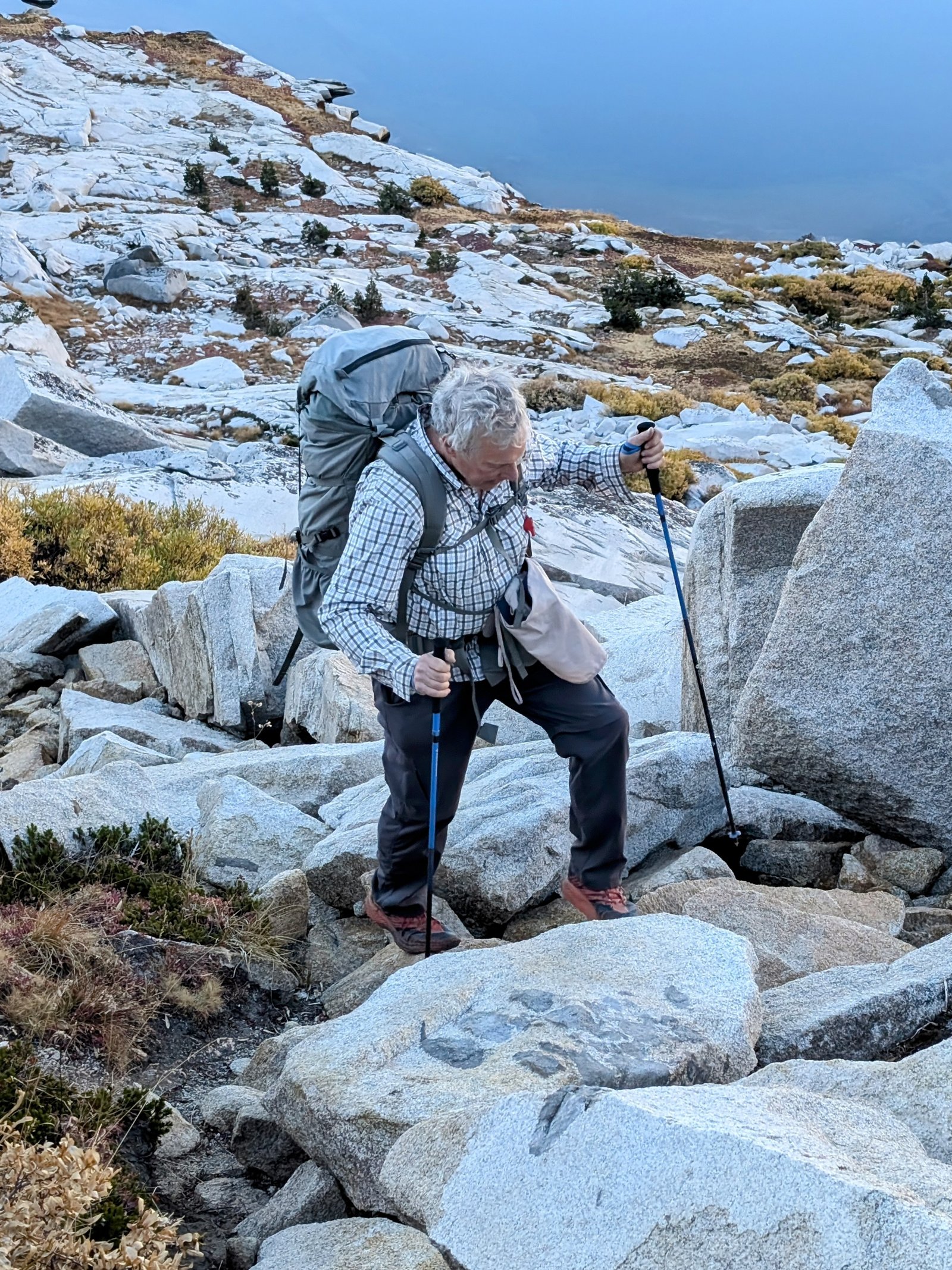
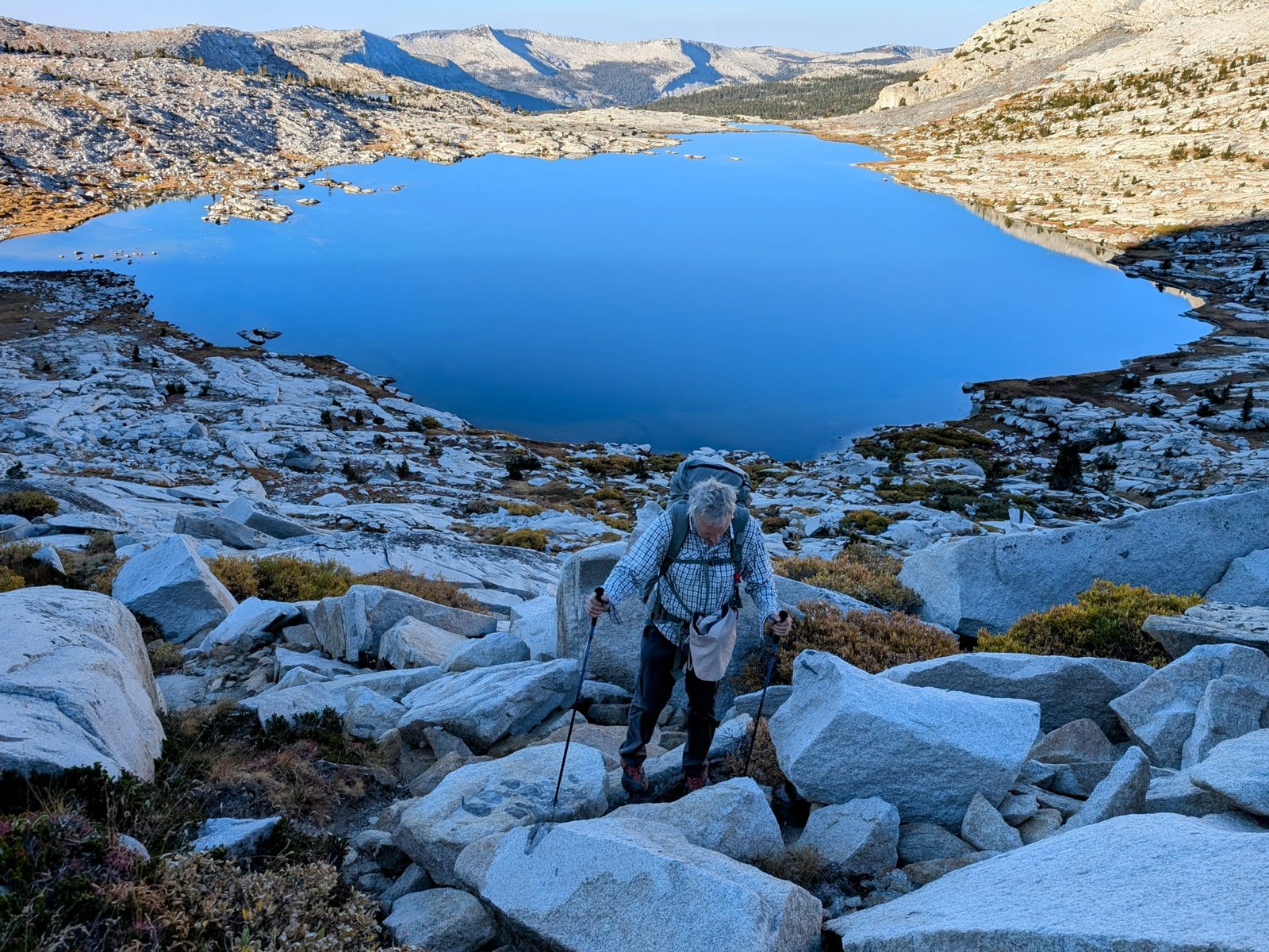
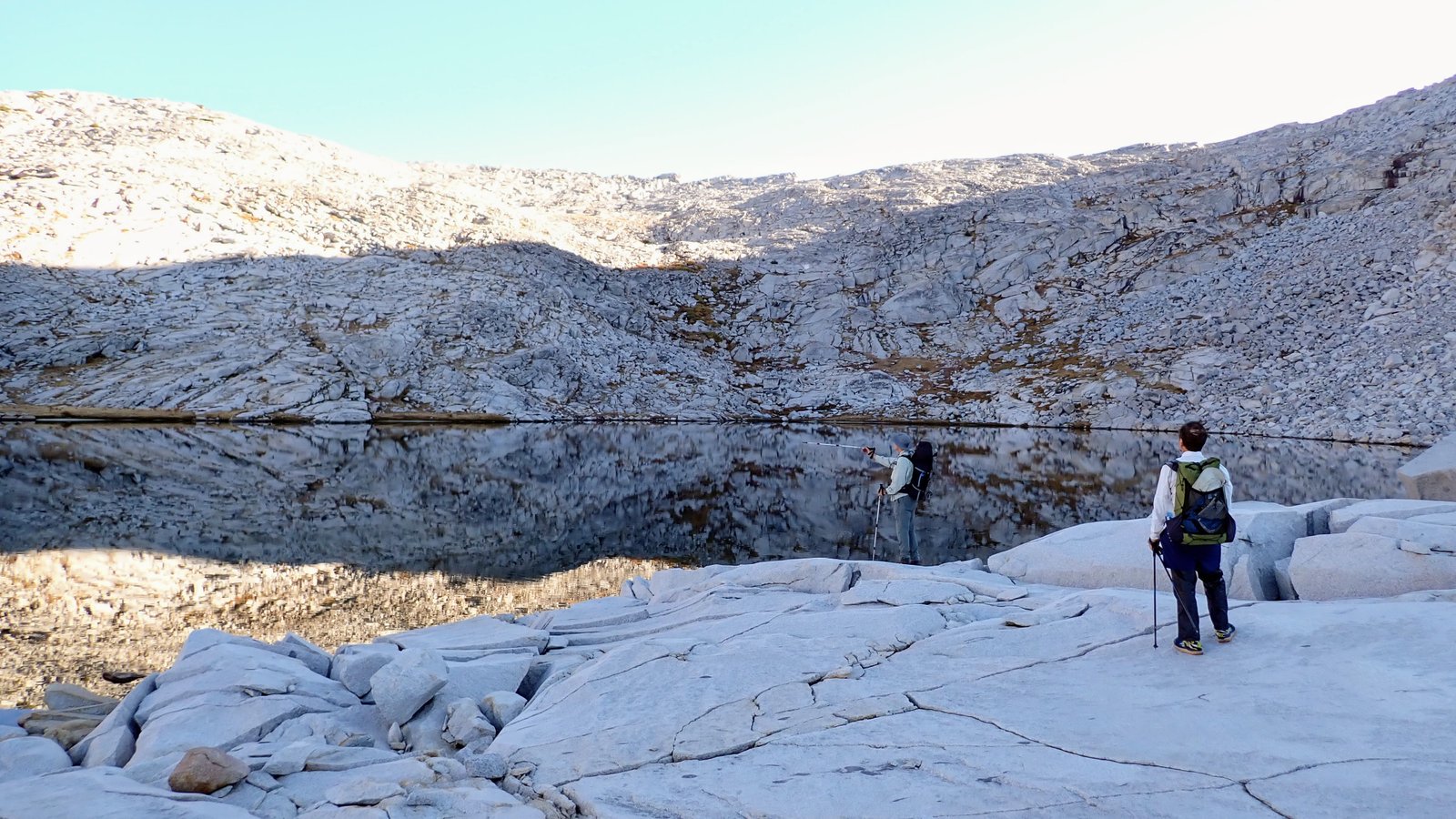
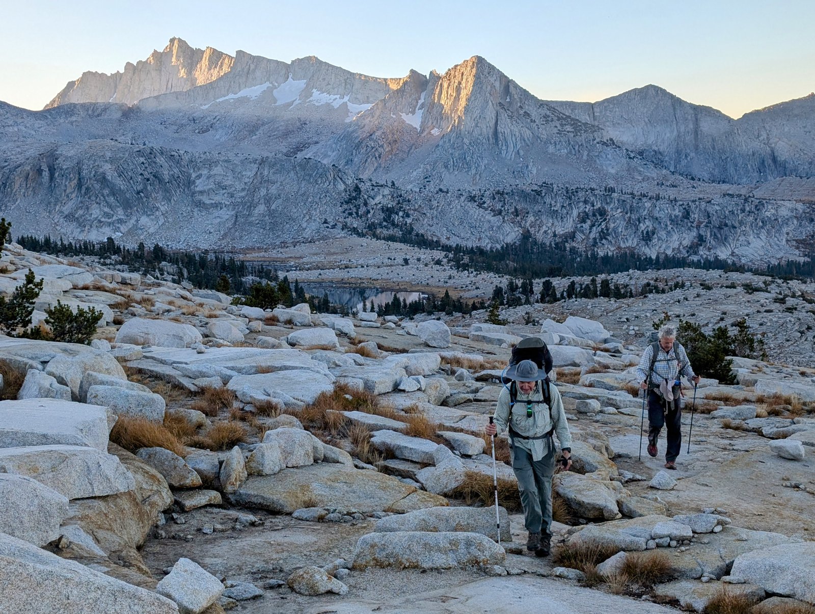
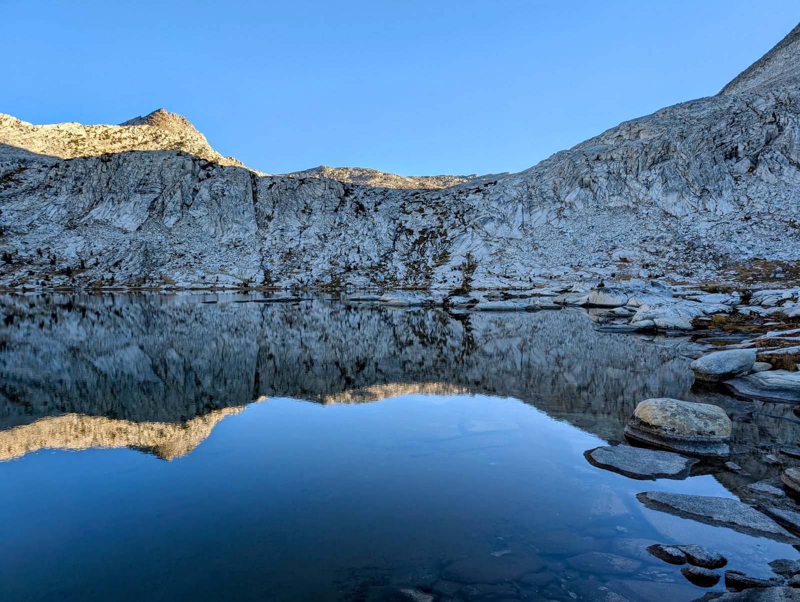
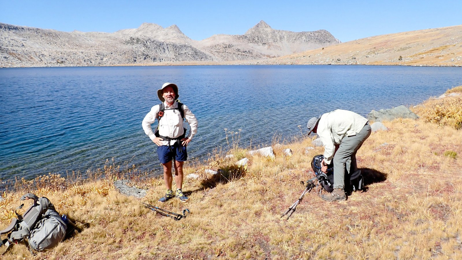
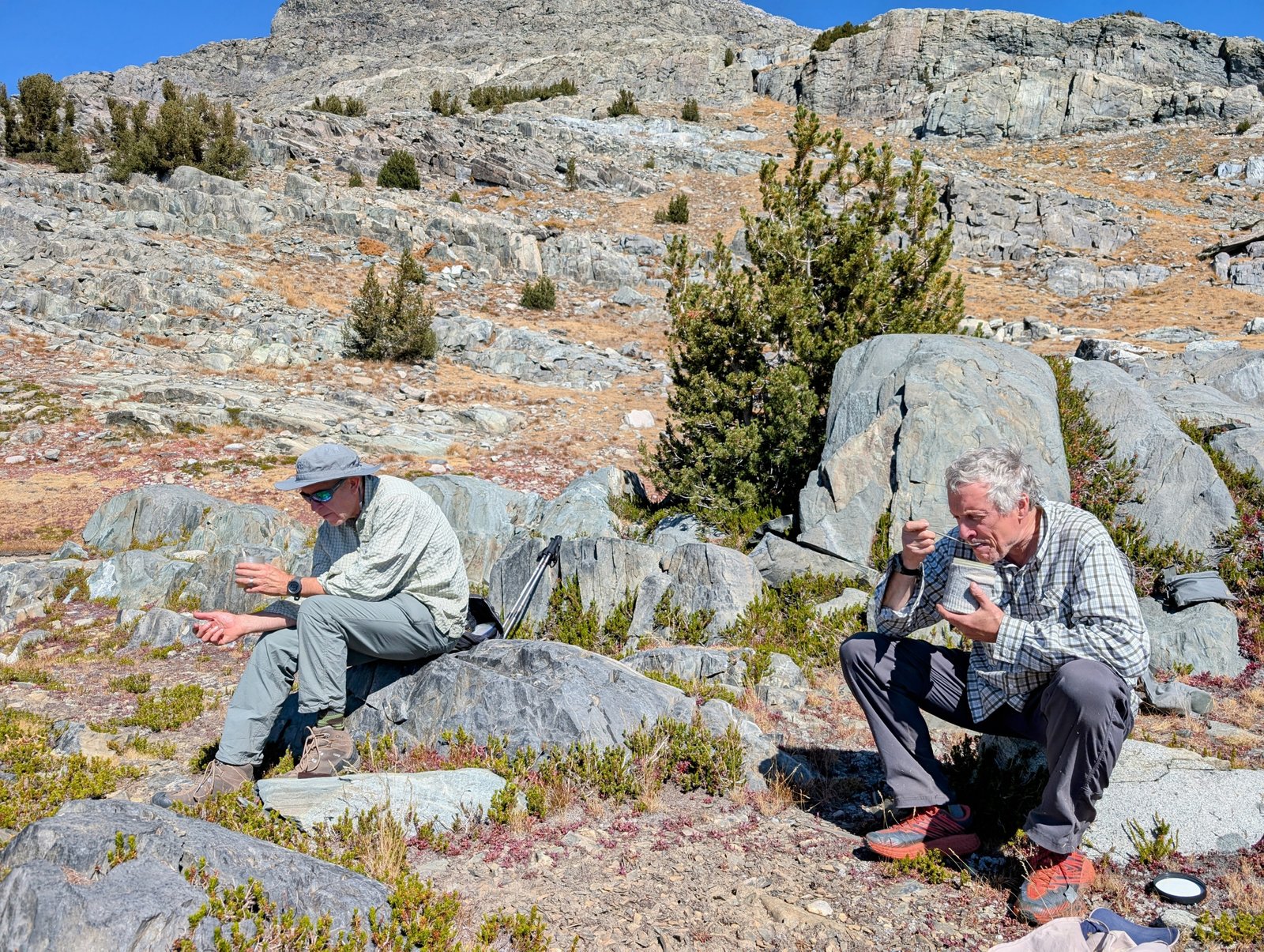
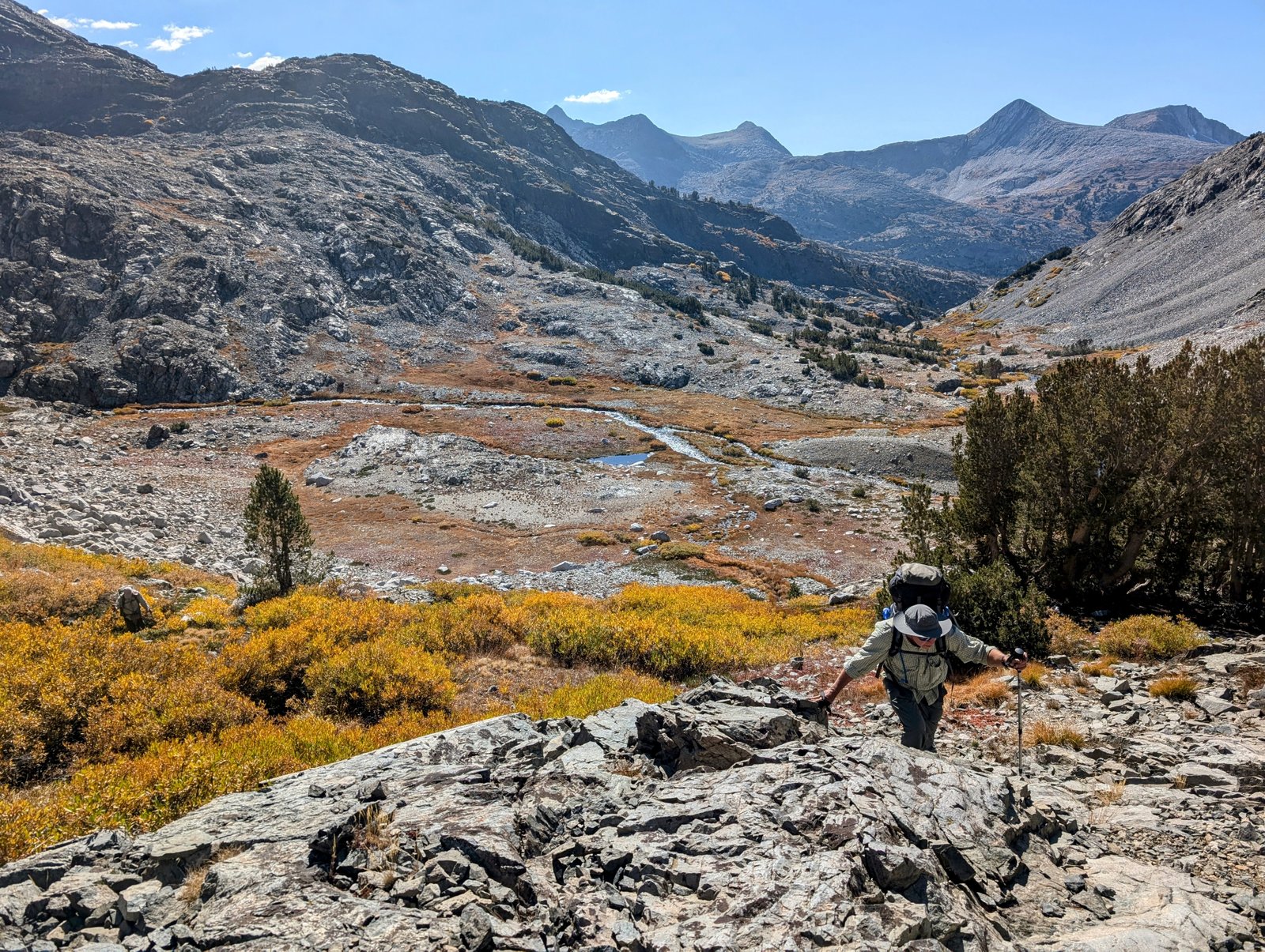
It was pretty mellow (no, I really mean it!) getting from Valor Lake up to Valor Pass. Easy flat slabs, all class 1 or 2 climbing. By 9:30am we were at the top.

pxl_20241001_1629231962
UltraShuffle at Valor Pass
pxl_20241001_1620179632
View south of Valor Pass
pxl_20241001_1632179282
View north of Valor Pass
pa0100972
I love this SO MUCH!
pa0100982
Let’s enjoy this for a bit
pxl_20241001_1628413202
Mount Goddard looms above Martha Lake

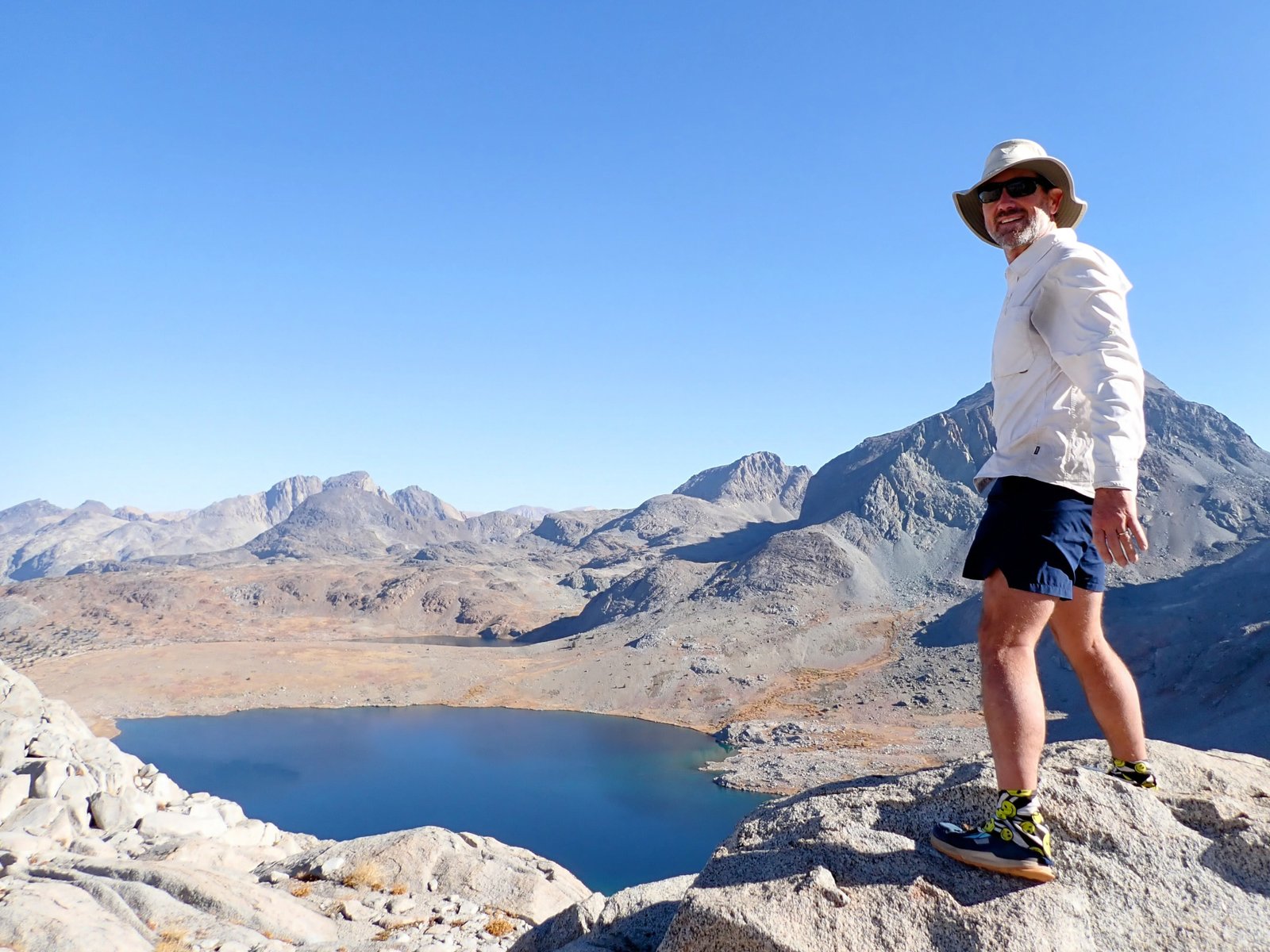
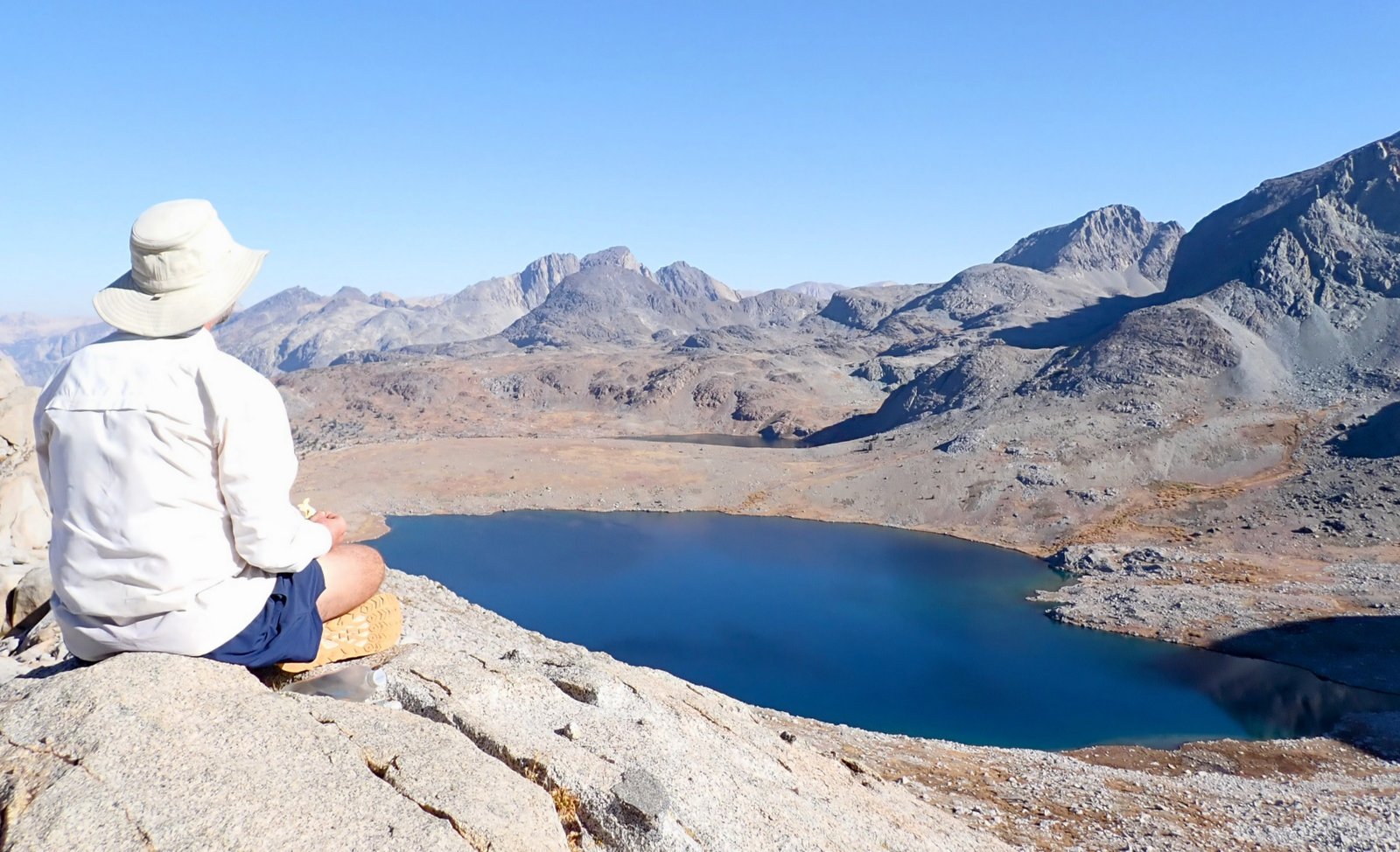
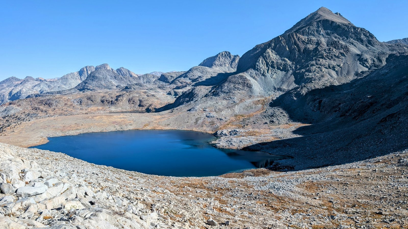
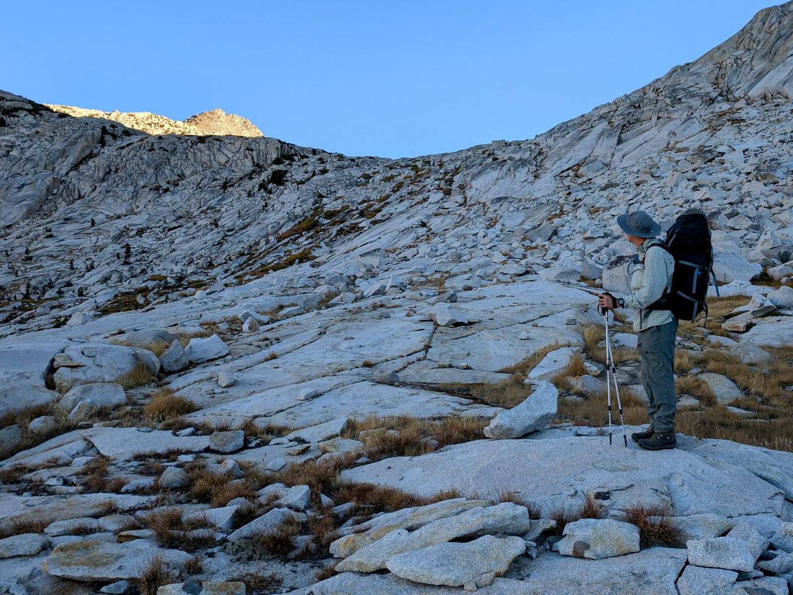
We snacked and rested at the pass and then it was time to head down. It looks a lot less mellow on the north side of this pass, but fortunately we found a way down that was almost completely class 2.

pxl_20241001_1637102782
Okay, time to go!
pxl_20241001_1655268322
Top of the chimney we would descend
pa0101012
Just one step down with a little bit of exposure
pxl_20241001_1659283312
UltraShuffle takes his time
pxl_20241001_1700249992
Then the rest is class 2
pa0101042
Making our way down
pxl_20241001_1707310252
Looking back up
pxl_20241001_1723406162
All done!
pxl_20241001_1733351902
Approaching Martha Lake

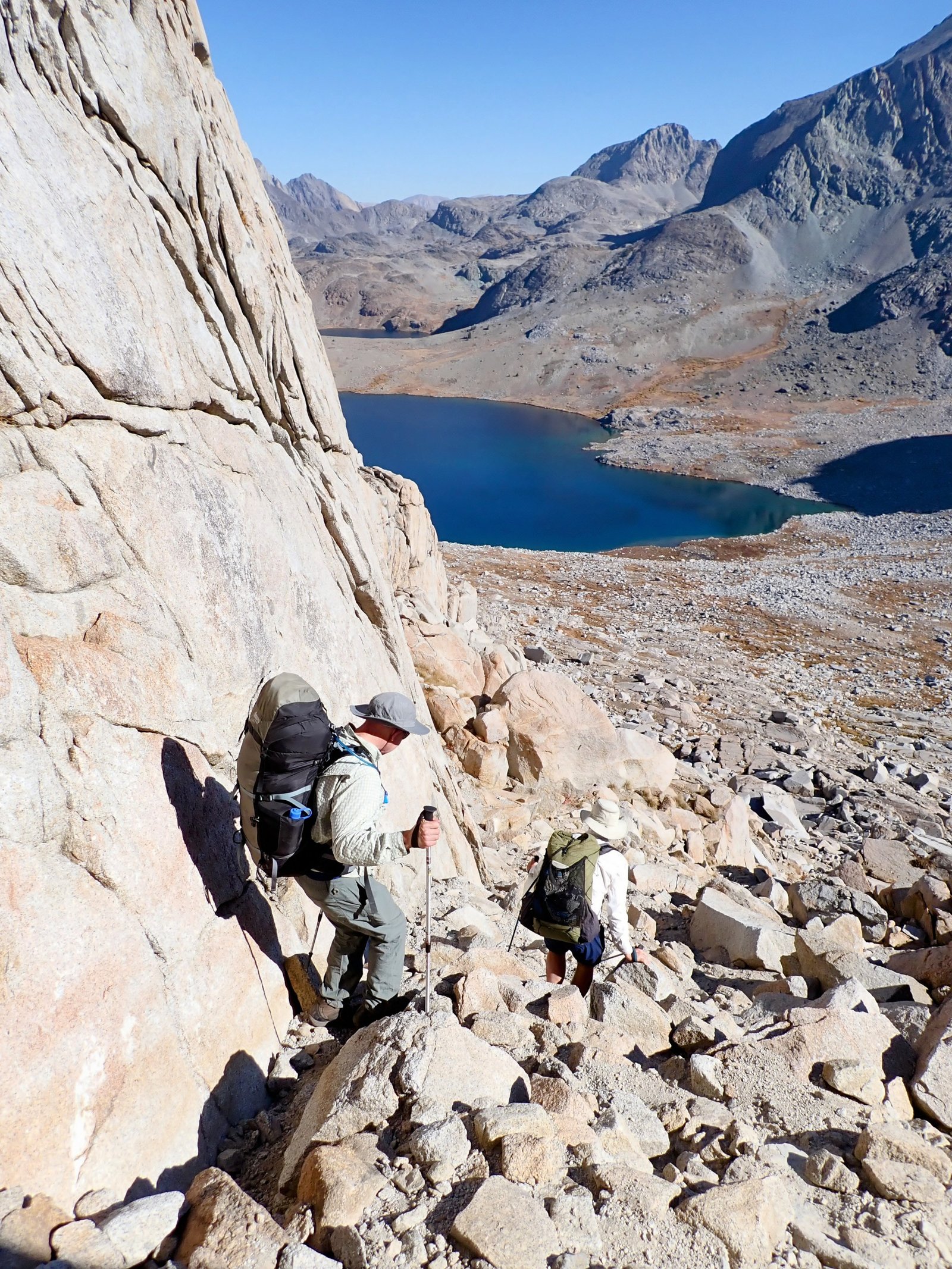
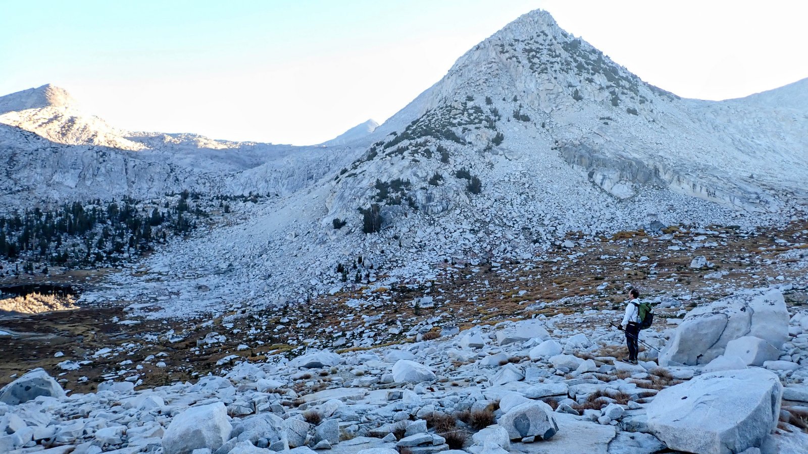
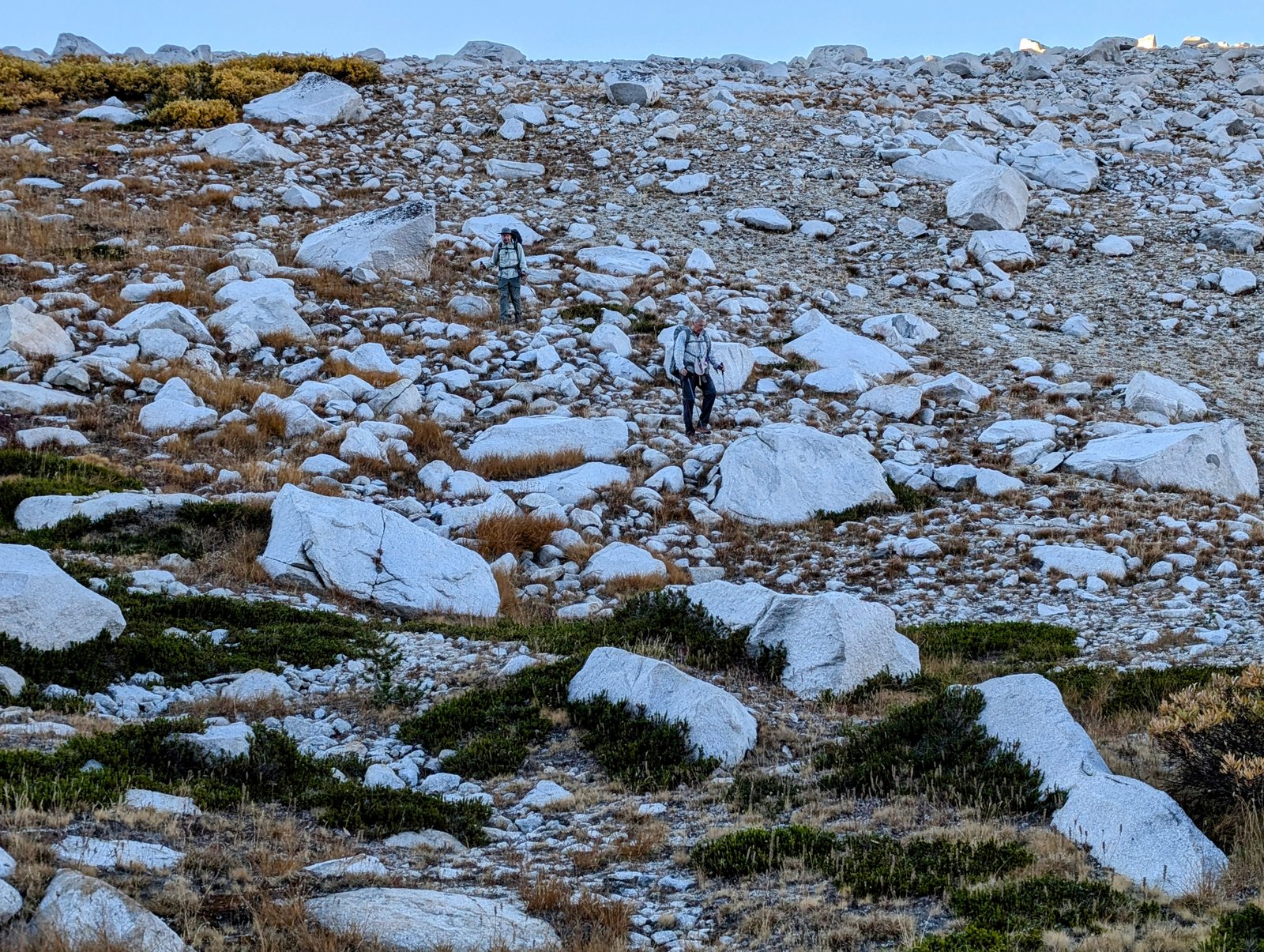
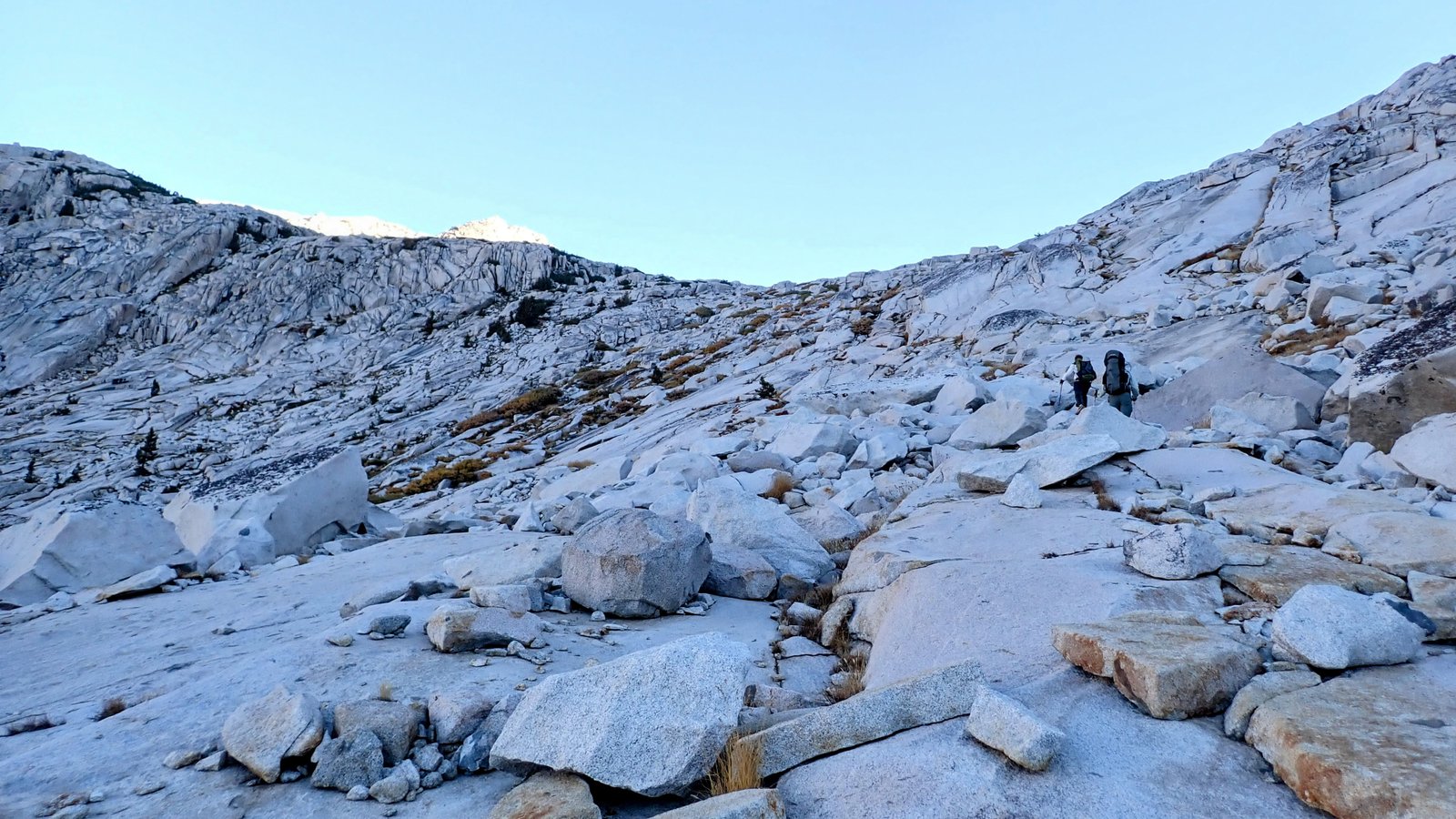
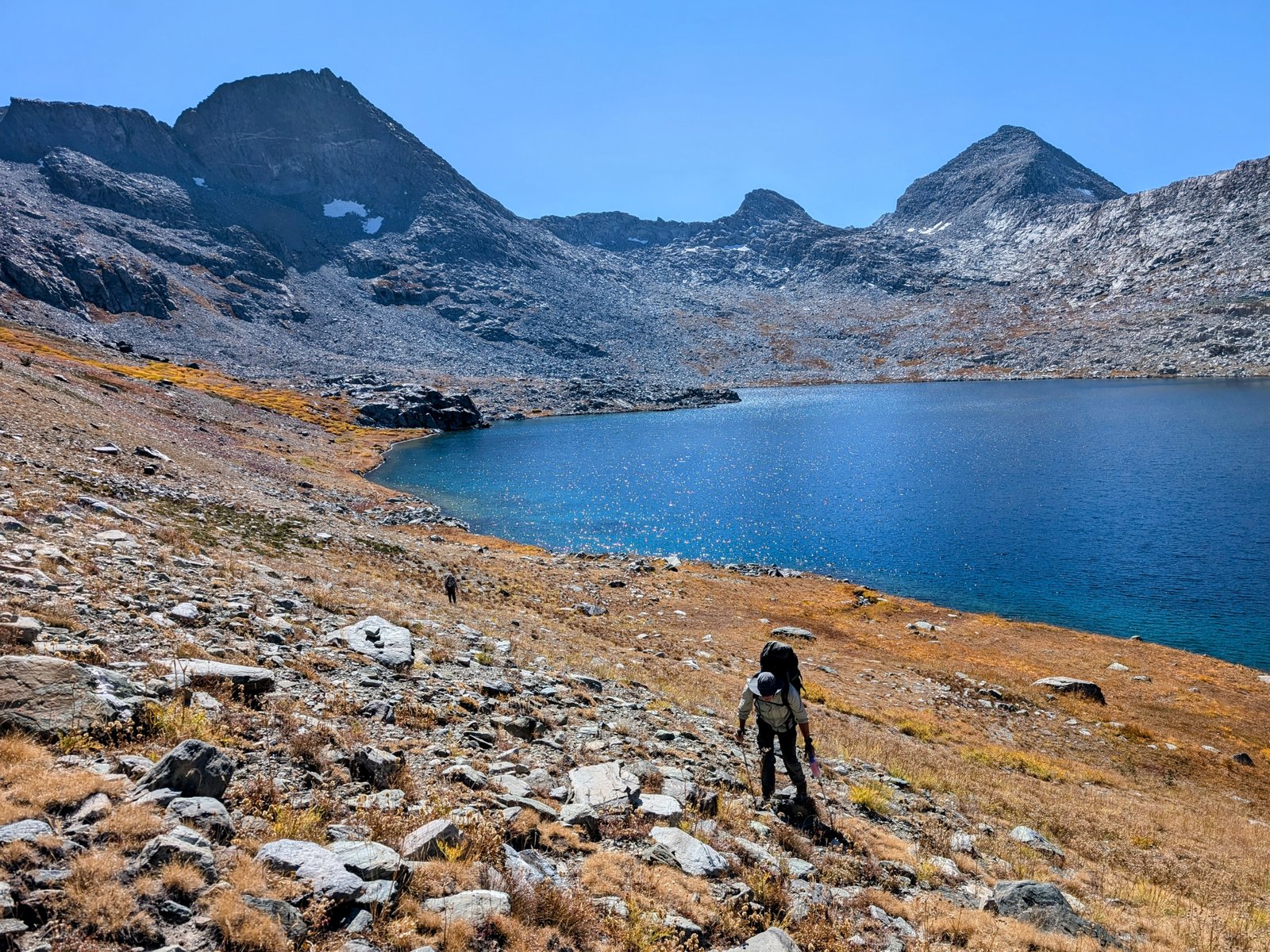
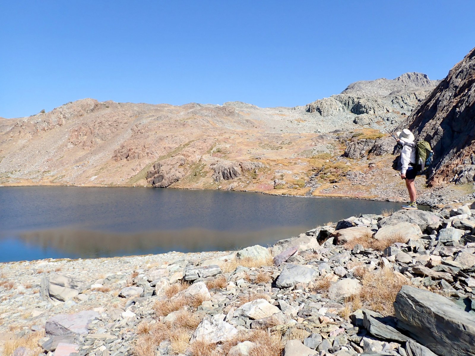
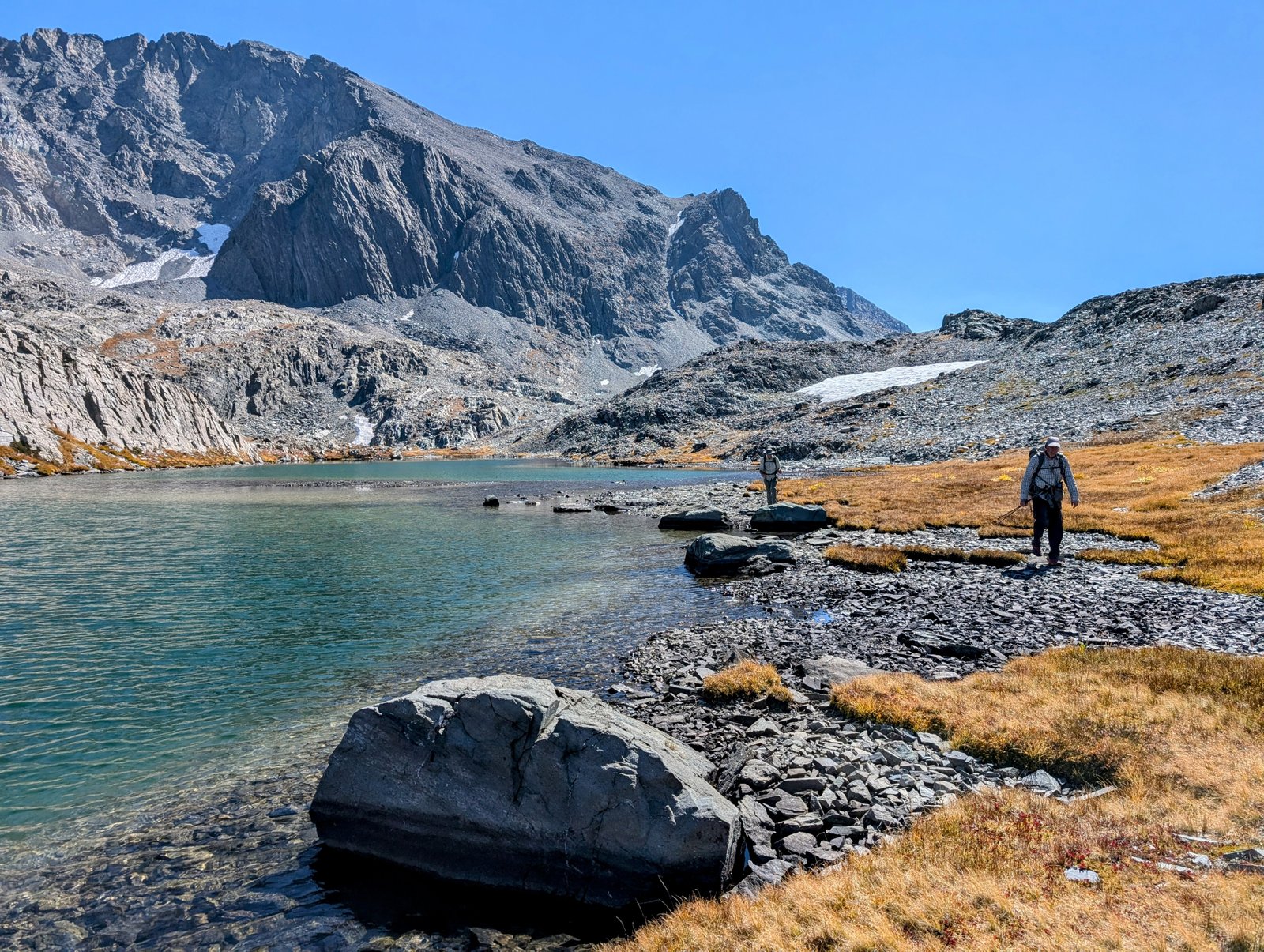
We encountered some talus around Martha Lake, but it was low angled and so not too tiring. We had to climb a bit to get around some cliffs on the eastern shore, but then it was possible to drop down to the lake where there was a nice use trail.

pxl_20241001_1754592392
Martha Lake shoreline
pxl_20241001_1756437552
Mount Reinstein (left), Peak 12212 (right)
pxl_20241001_1756531812
UltraShuffle enjoys the lake
pxl_20241001_1818217602
Chia filters some water
pxl_20241001_1818331352
Naptime!
pa0101092
Hey it’s time to get up now!

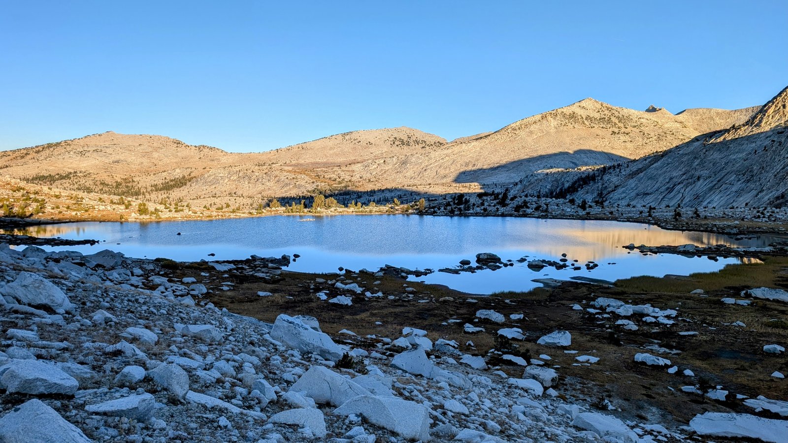
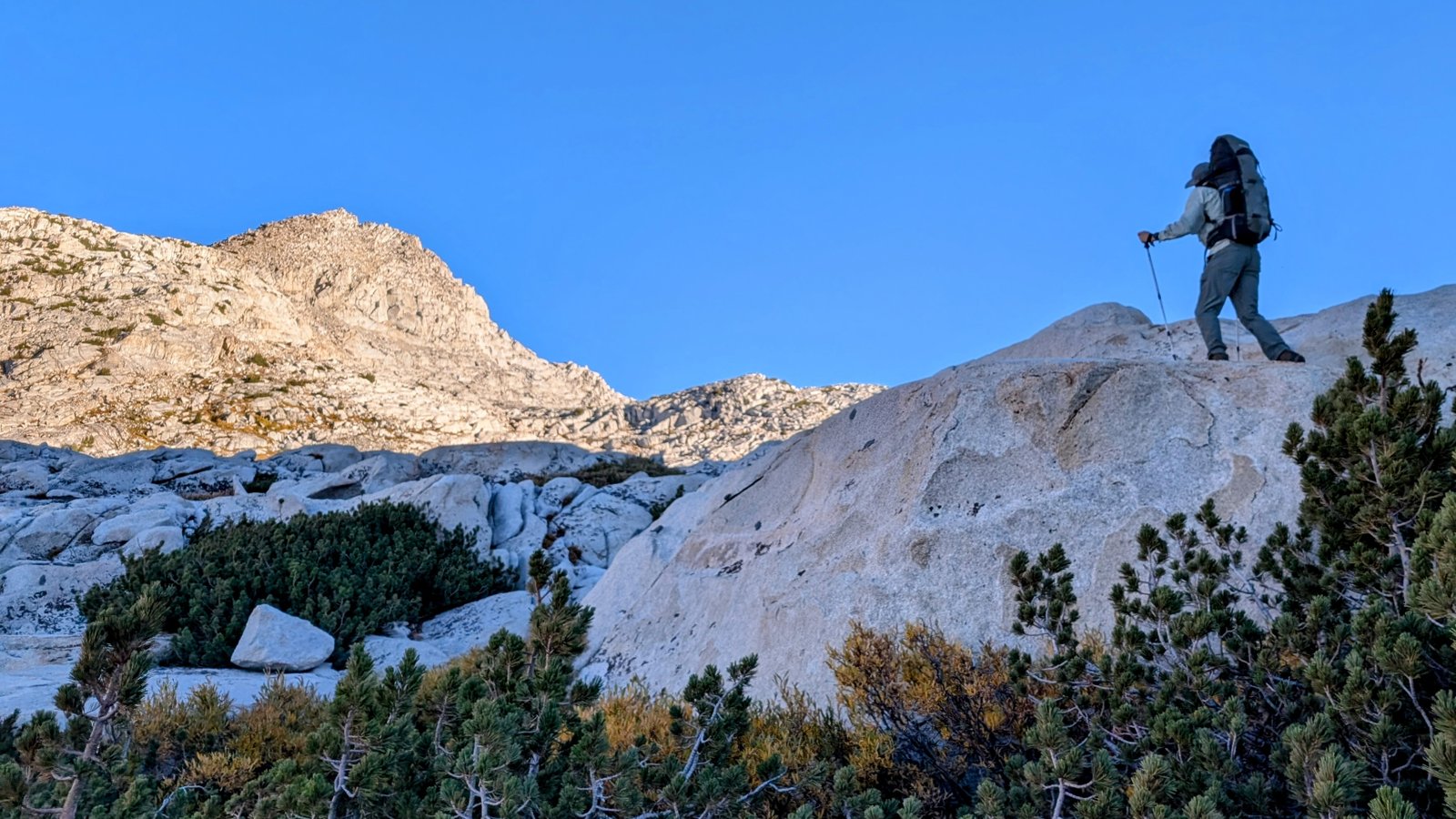
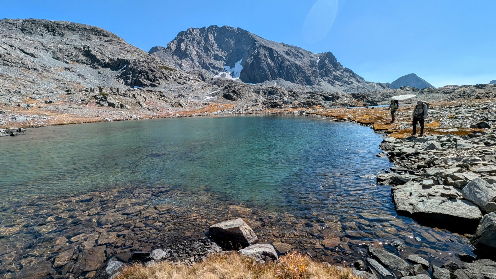
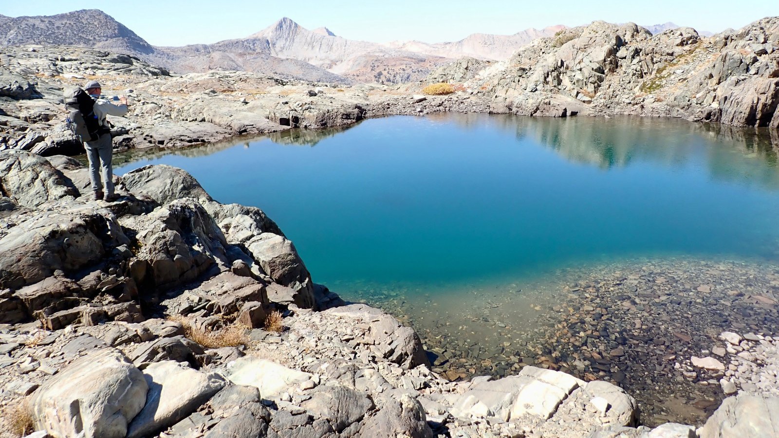
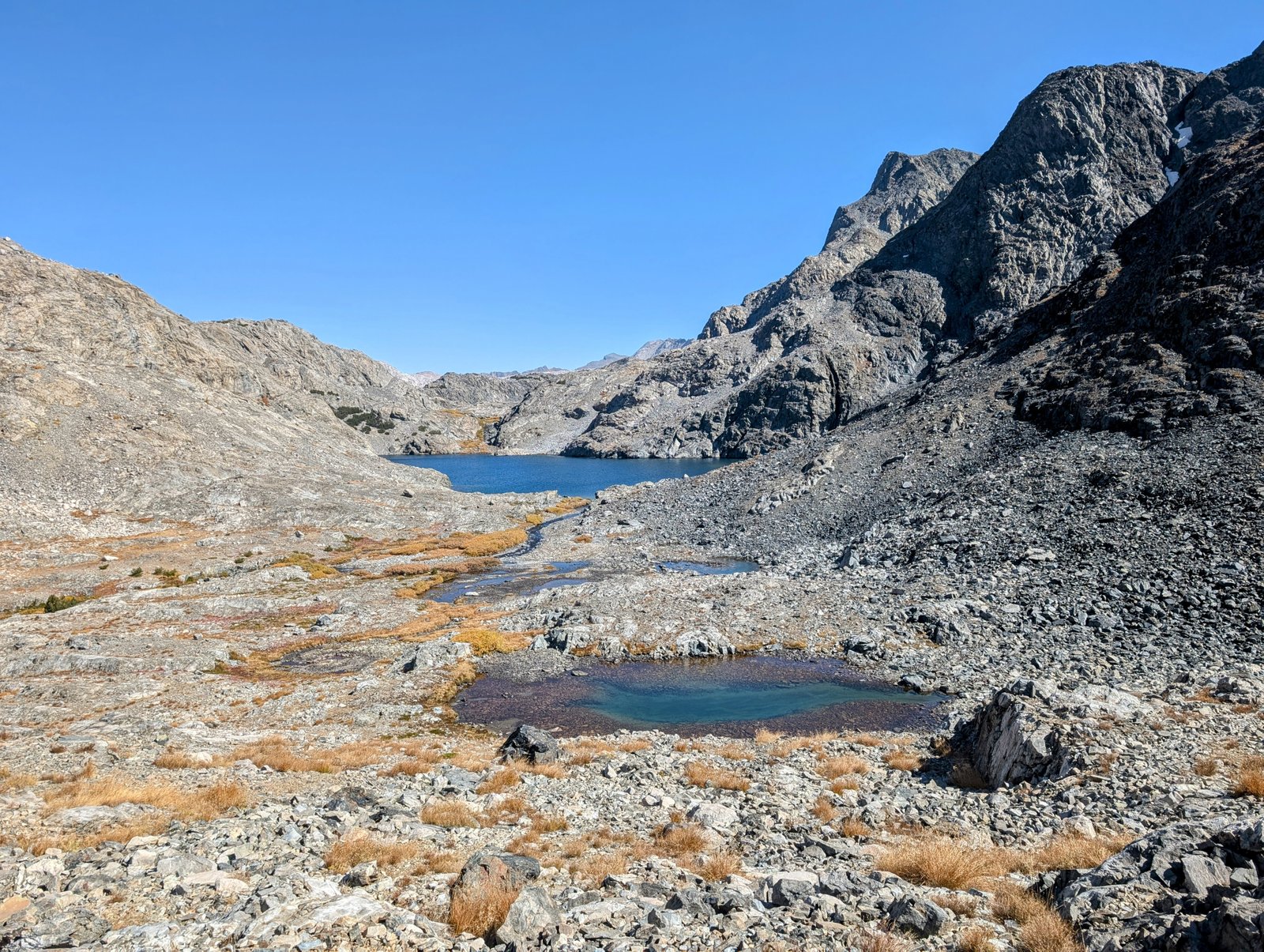
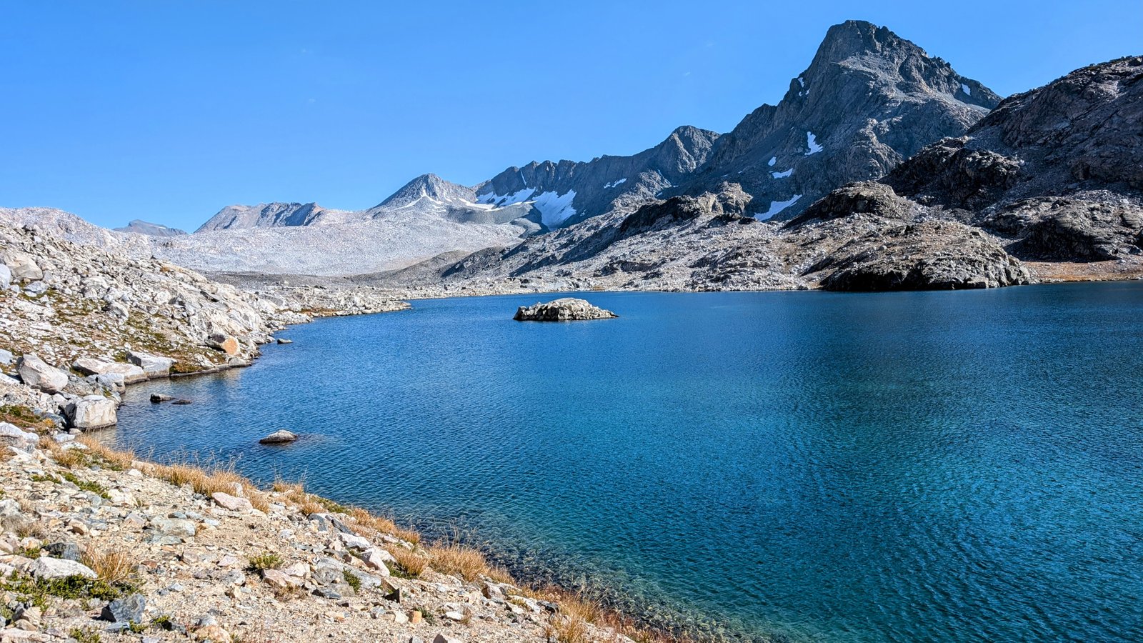
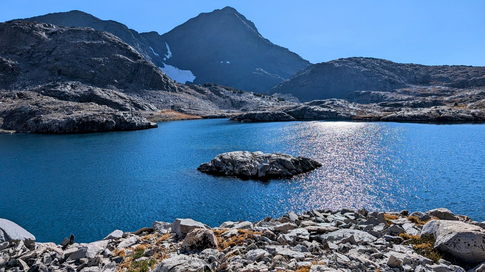
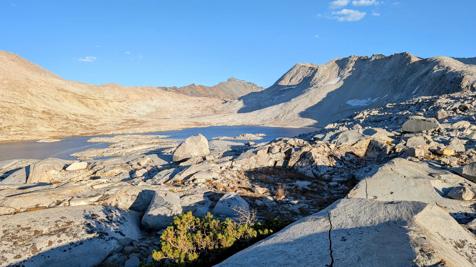
From Martha Lake we headed north to Lake 11184. We intended to follow a route described by RJ Secor in The Hight Sierra that would take us on benches below Peaks 12271 and 12434 to contour around to Davis Lake.

pxl_20241001_1830414622
Climbing to Lake 11184
pxl_20241001_1838053092
Lake 11184
pa0101132
JimmyJam looks for the route above
pxl_20241001_184525588
A lovely fountain inlet to the lake
pxl_20241001_1852384272
Mount Goddard
pxl_20241001_1852415042
Looking back down towards Martha and 11184

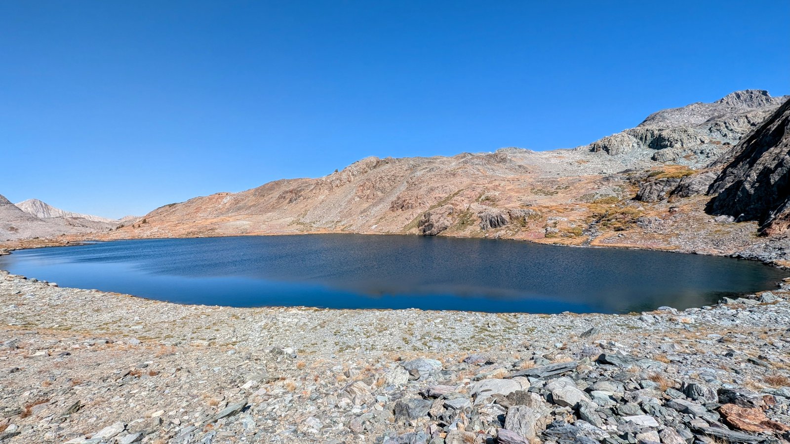
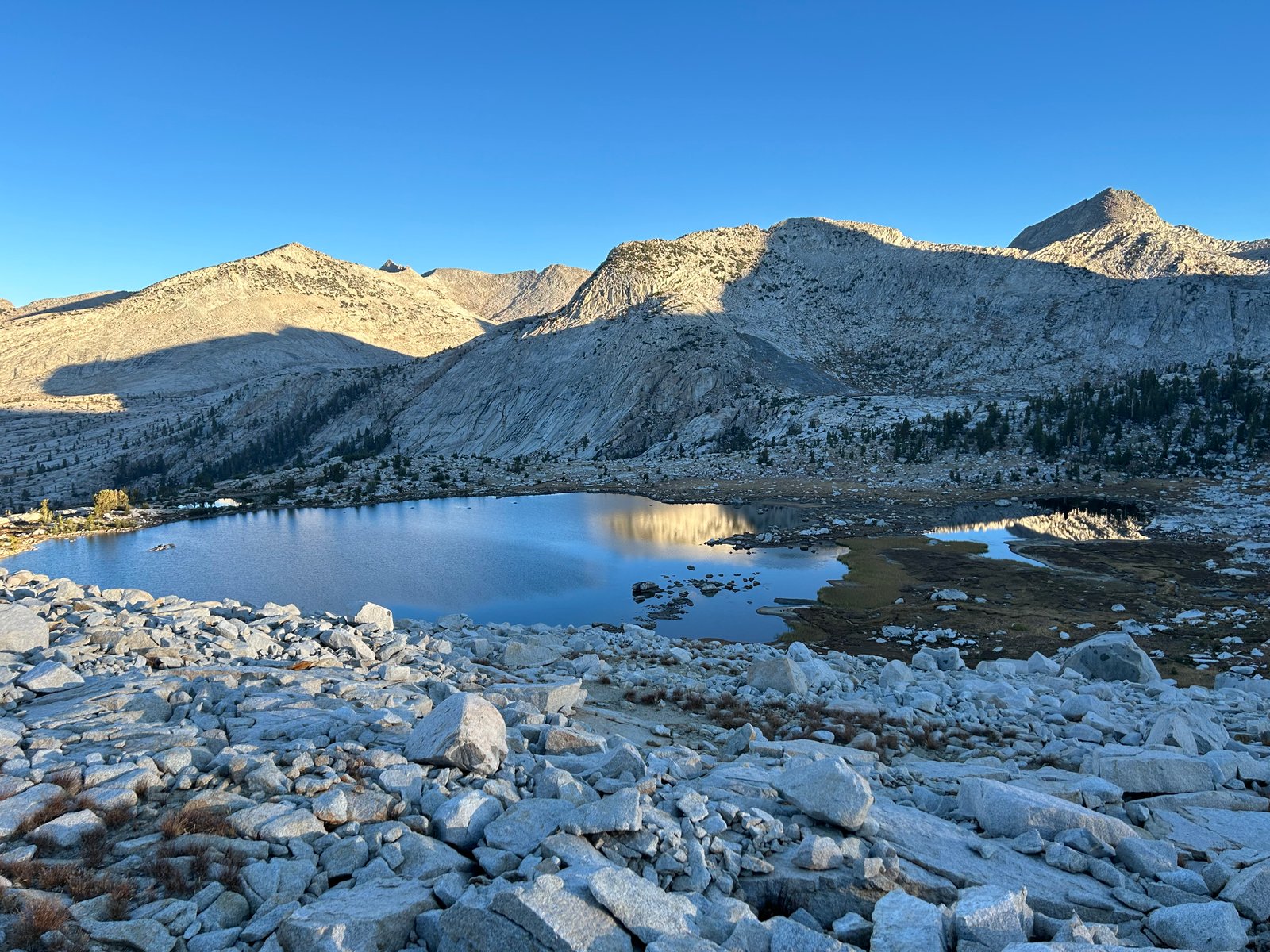
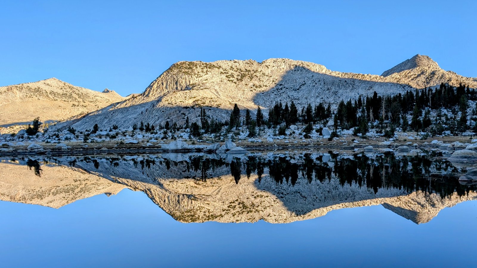
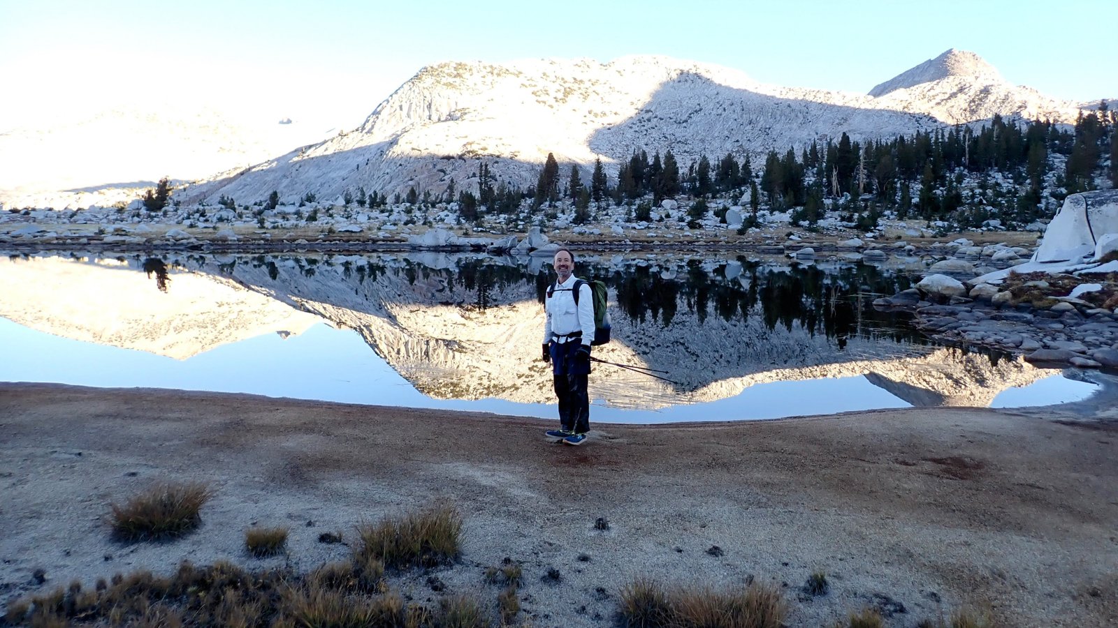
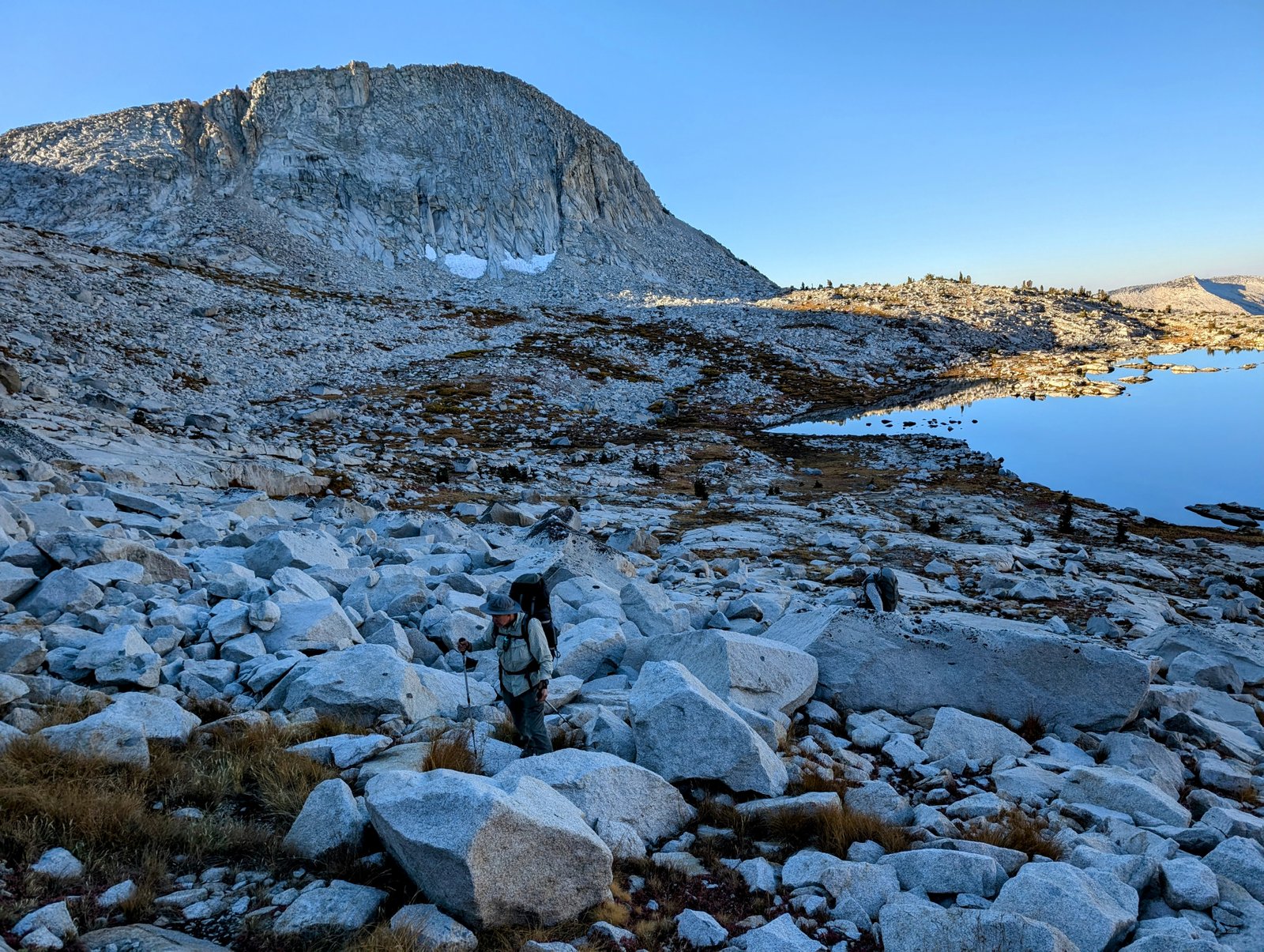
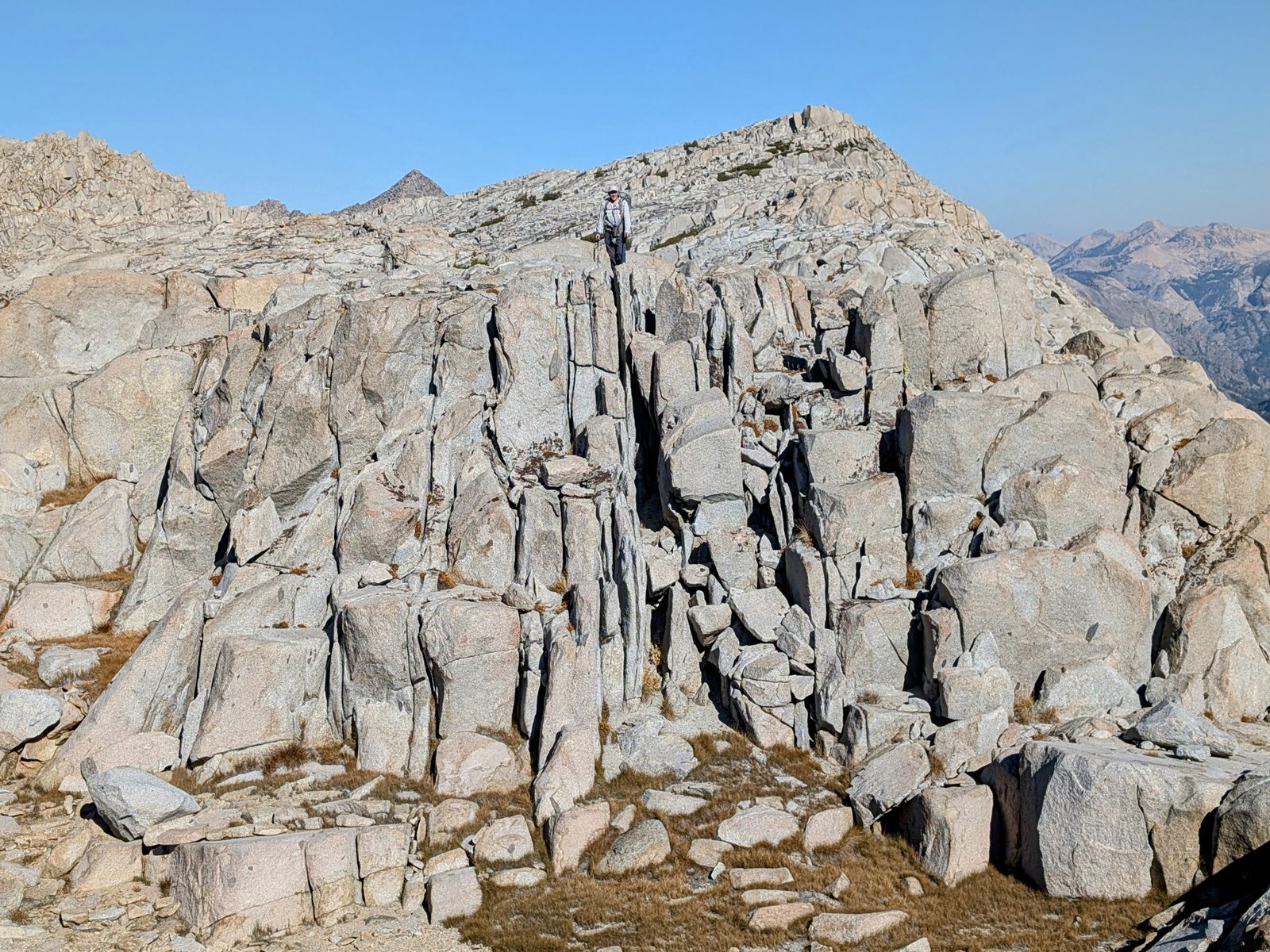
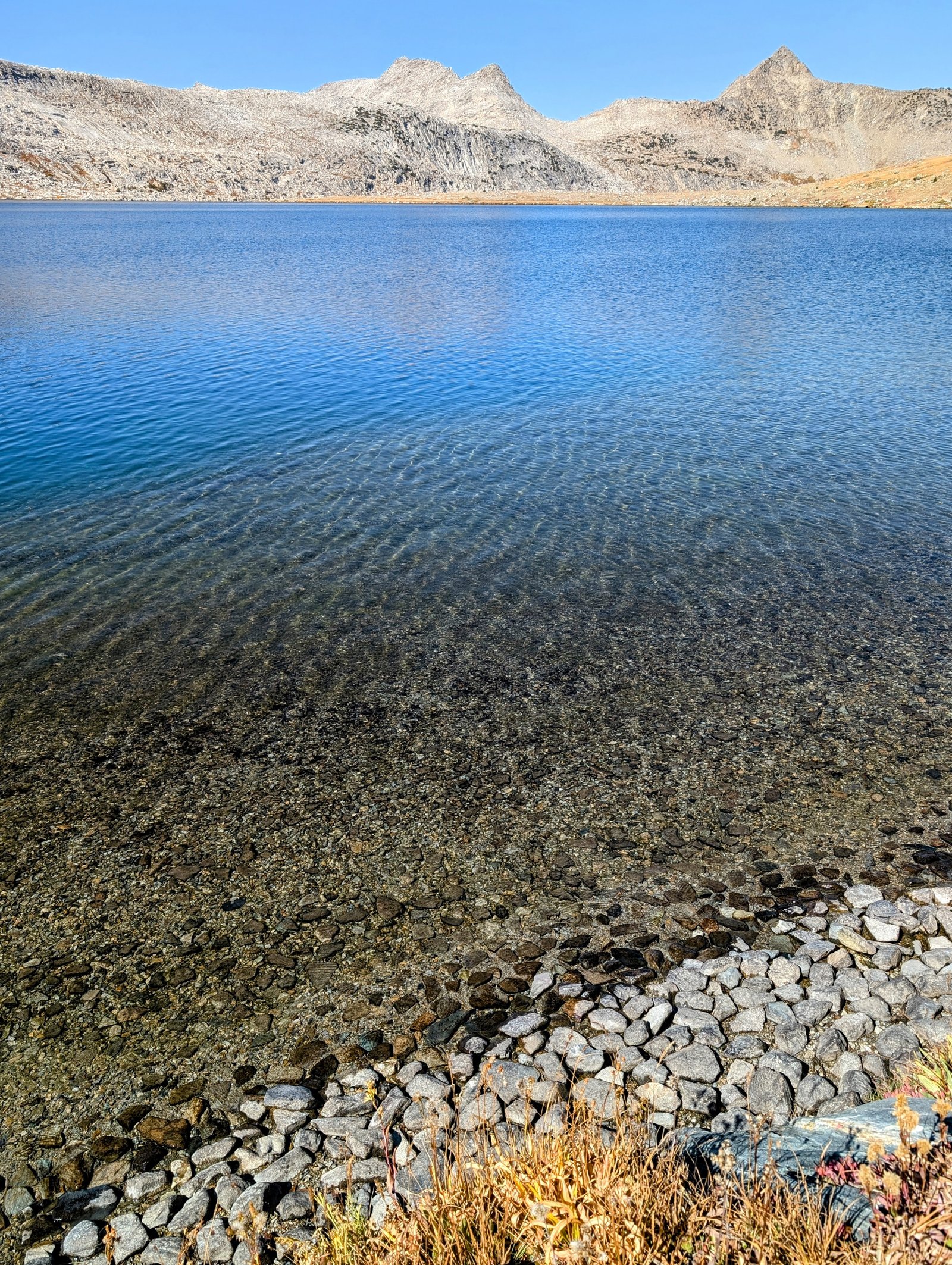
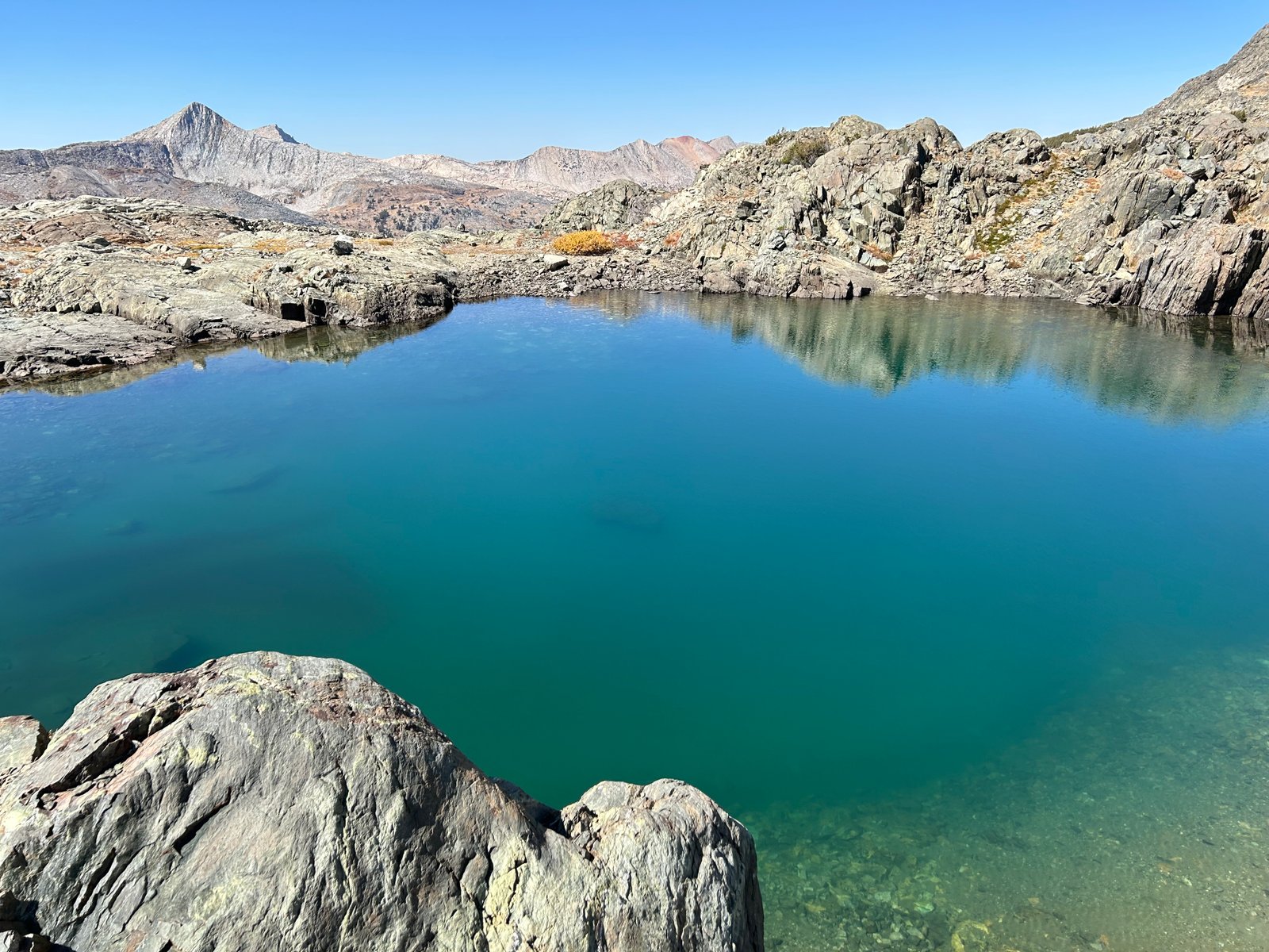
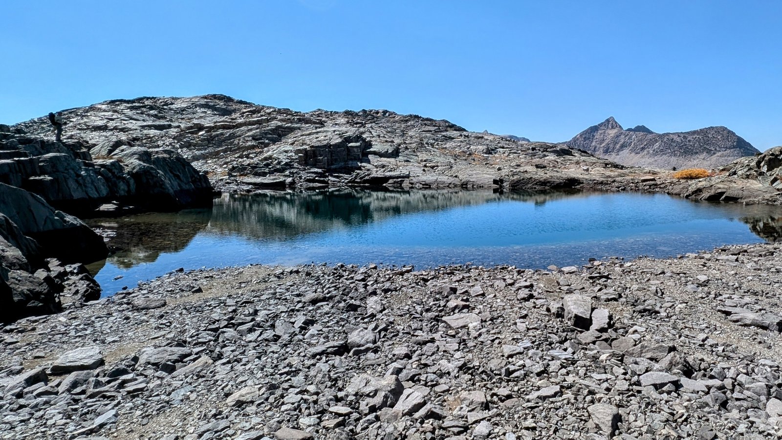
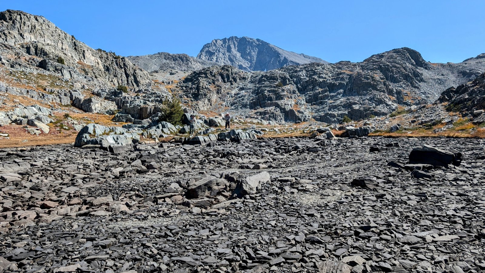
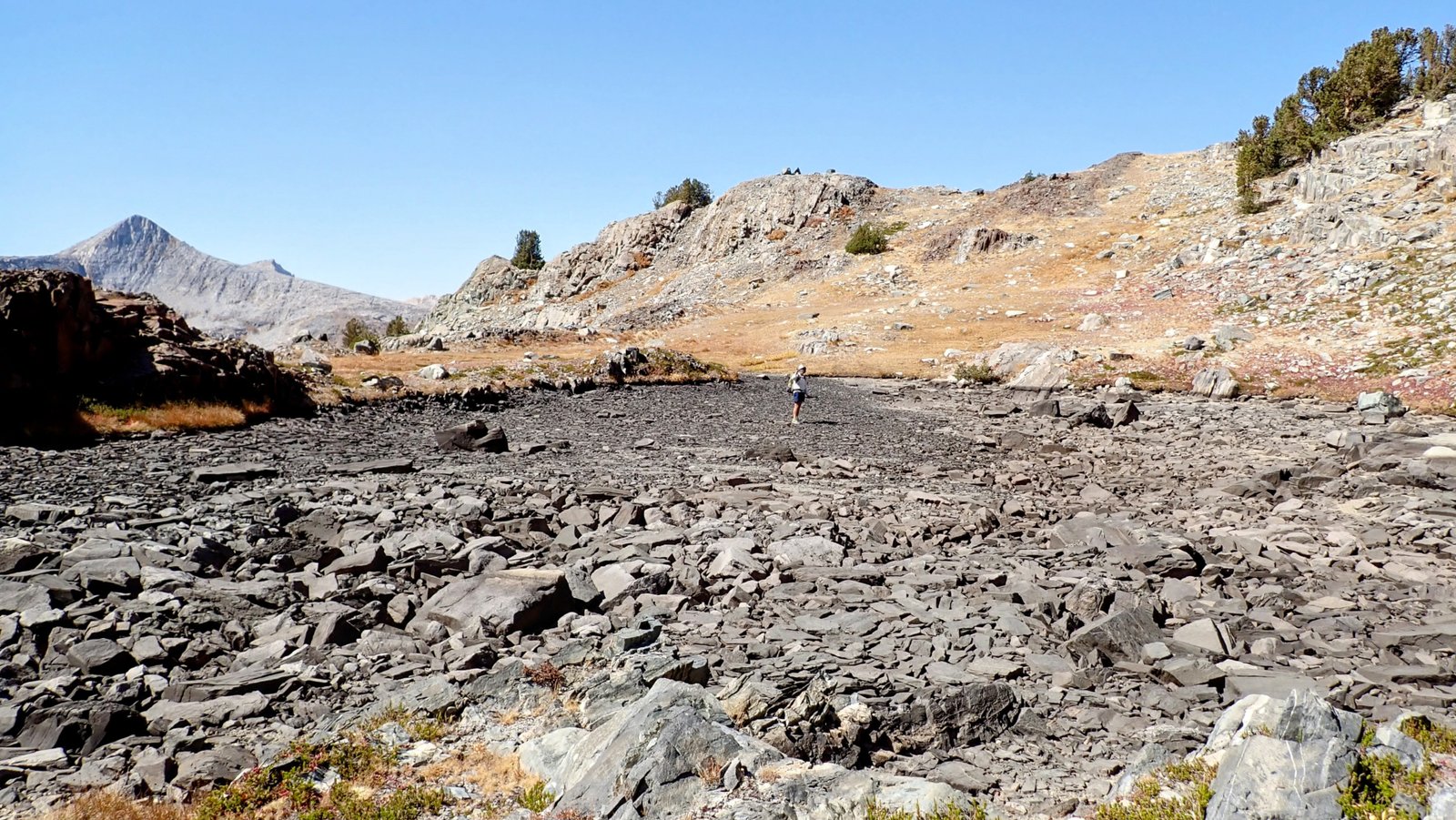
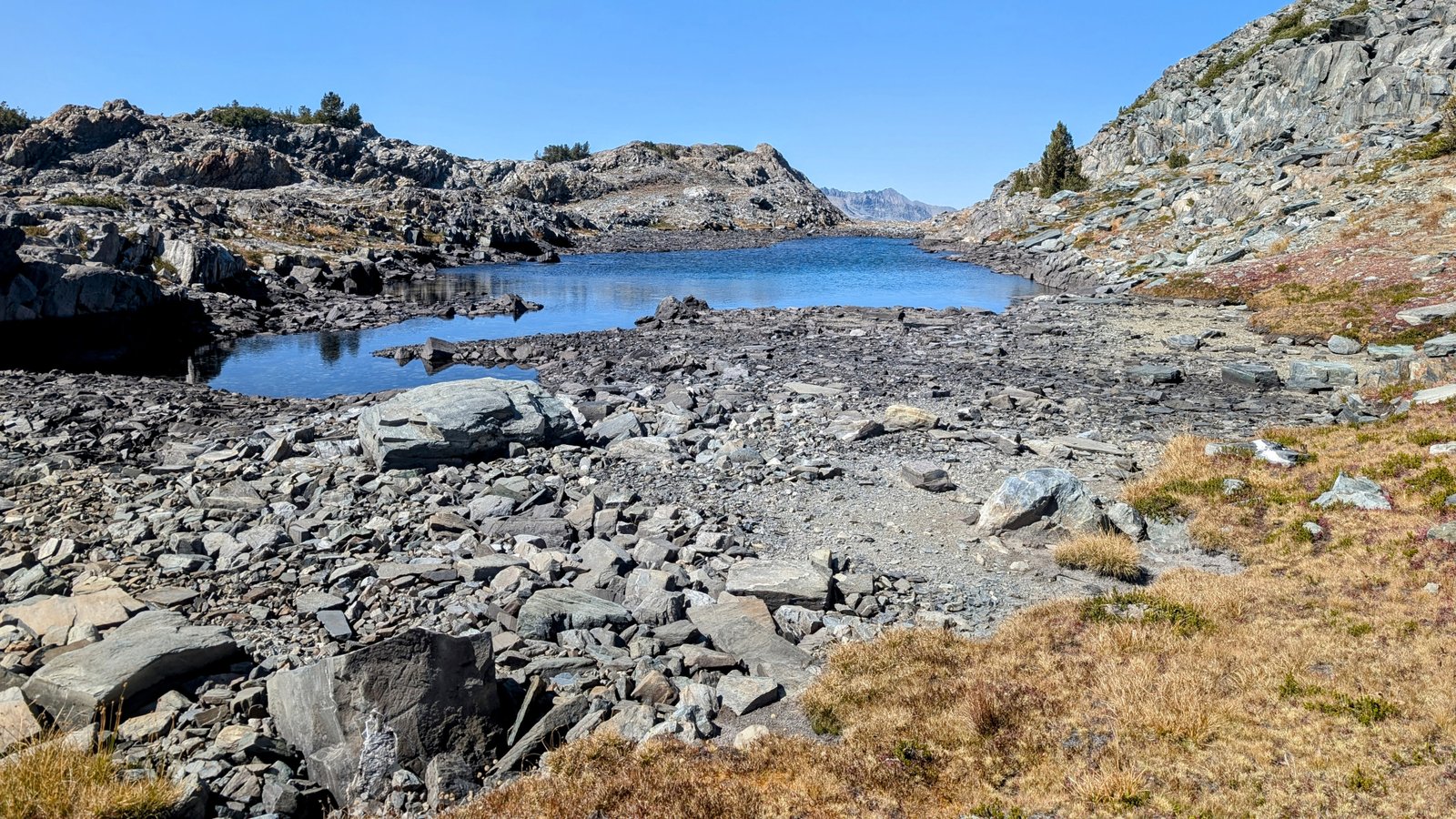
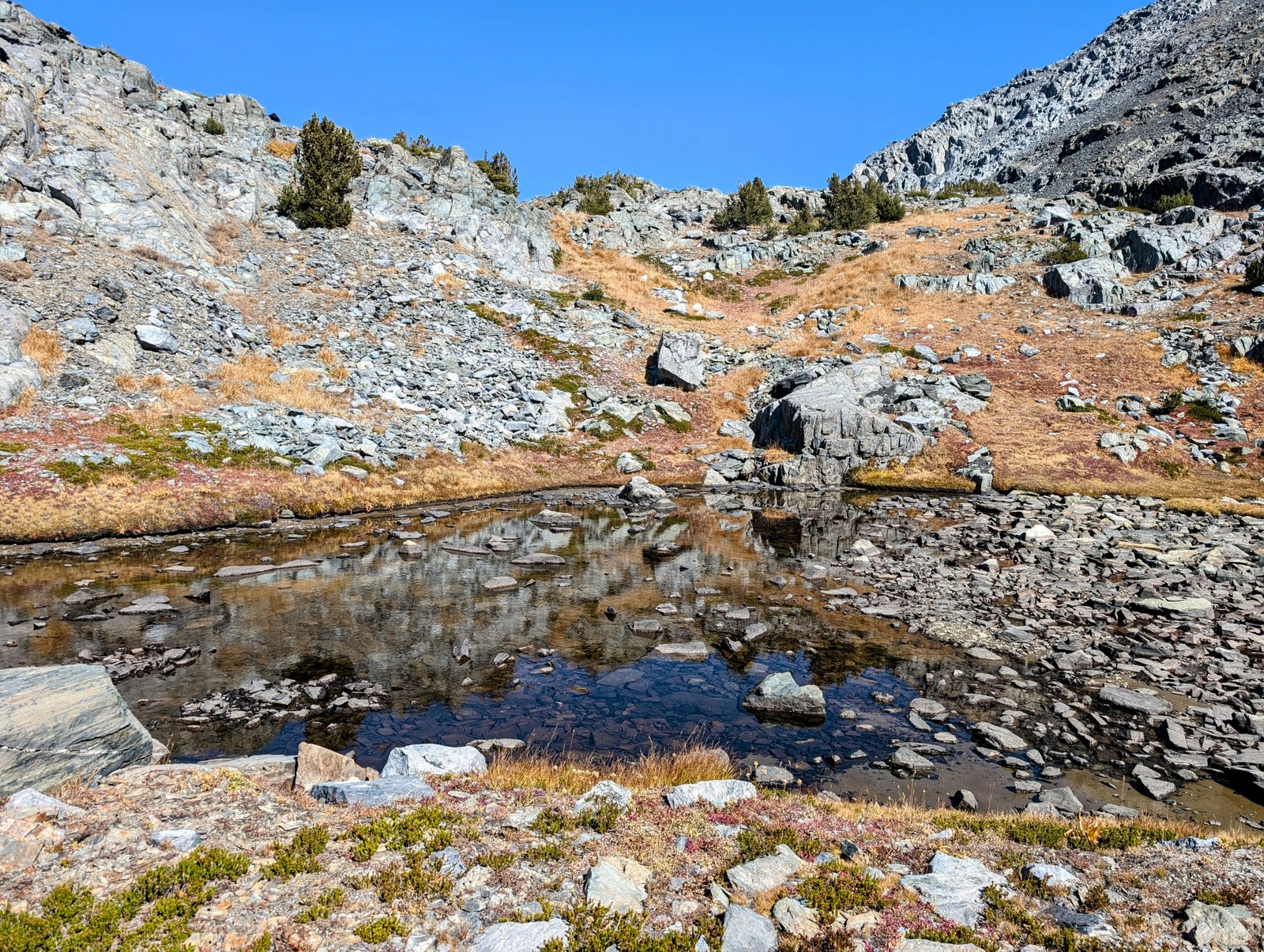
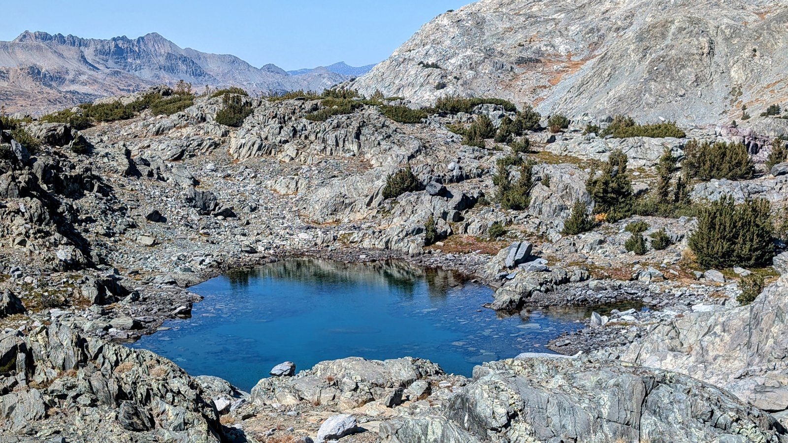
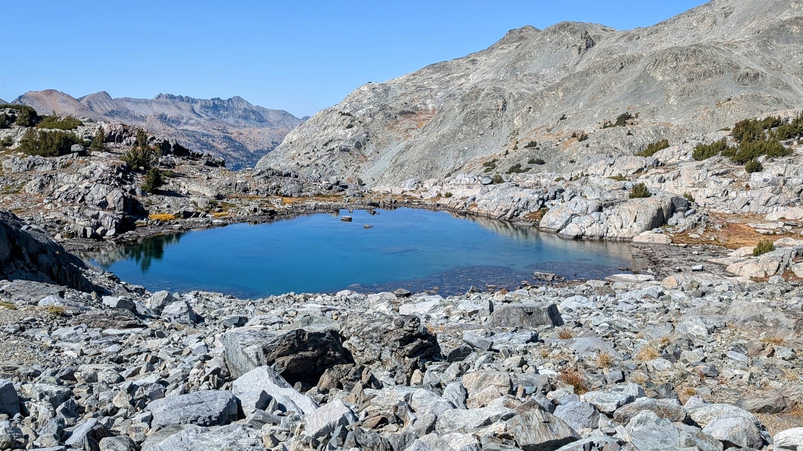
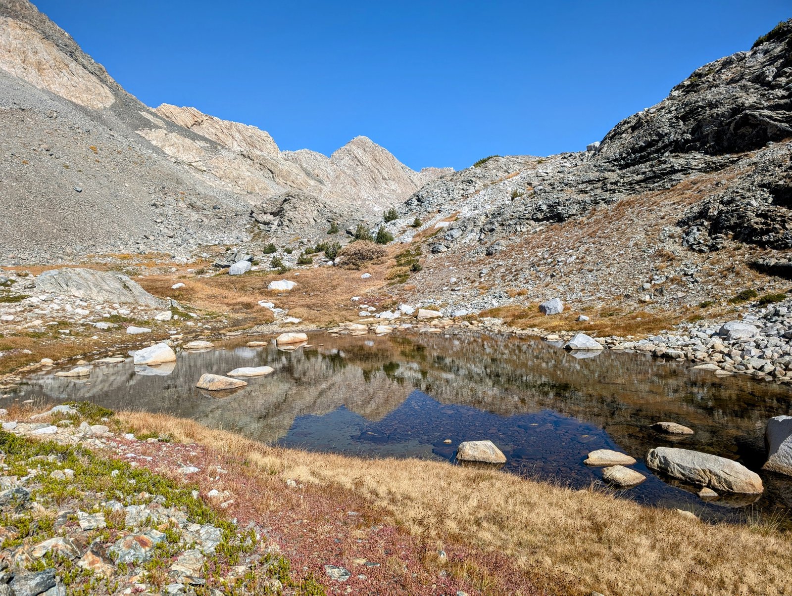
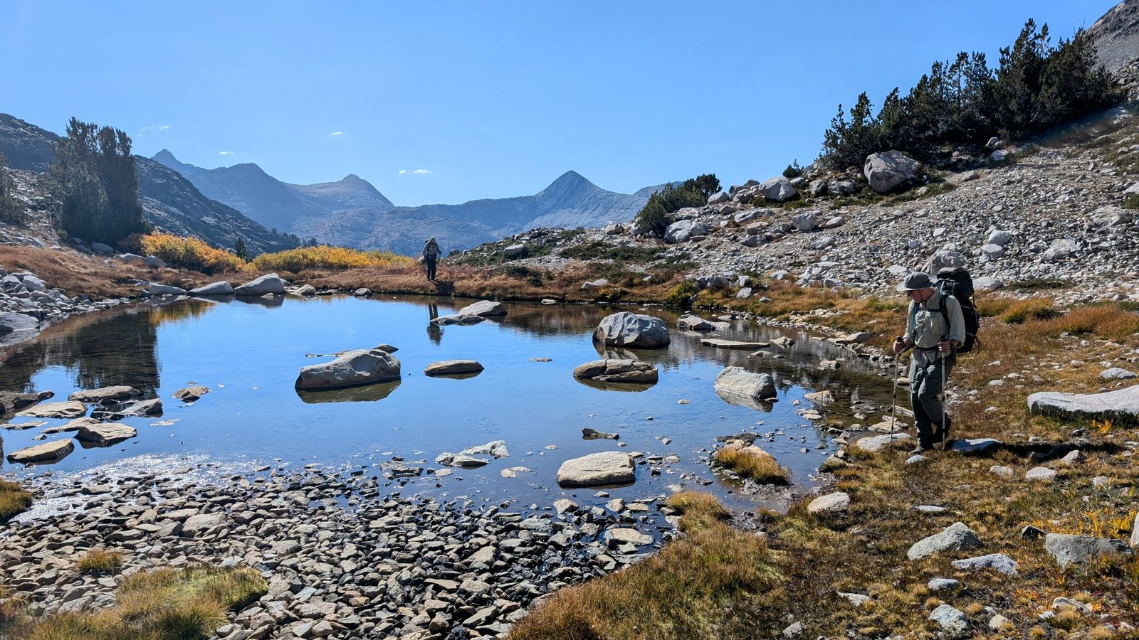
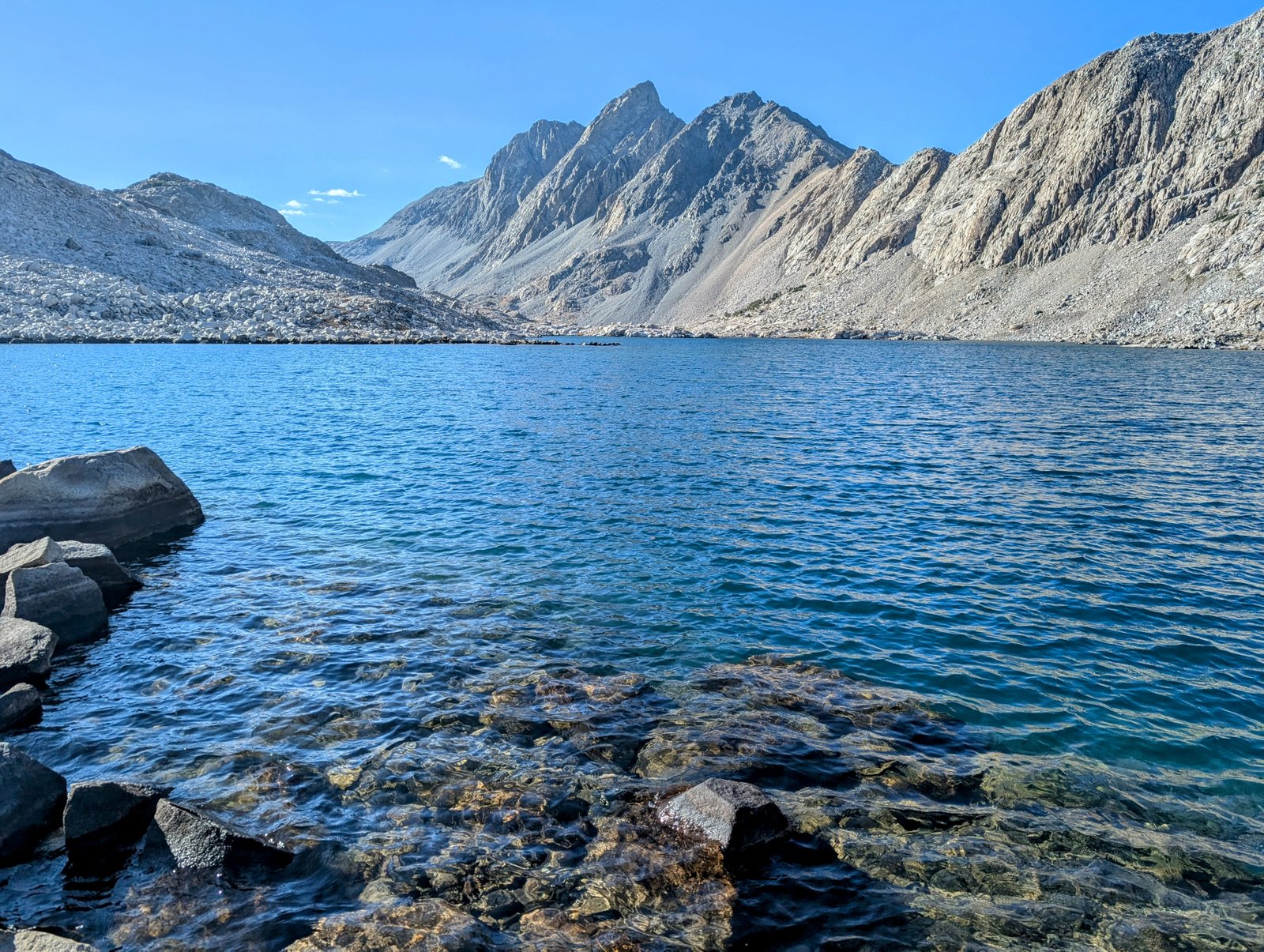
The first bench we climbed to was at about 11500 feet. We passed seven lakes on this bench. They were SO beautiful! It was definitely a highlight of the day to walk along up this remote chain.

pxl_20241001_1905311162
Lake 1
pxl_20241001_1914500632
Grabbing water from Lake 2
pxl_20241001_1921077312
So pretty!
pxl_20241001_1923022992
Lake 2 was long!
pxl_20241001_1923421022
Looking back
pxl_20241001_1924112802
Peak 12434
img_72312
Sierran Tree Frog
pxl_20241001_1929531742
Lake 3
pxl_20241001_1931393102
Lake 4
pxl_20241001_1938425992
Lake 5 (almost dry!)
pxl_20241001_1942375082
Lake 6
pa0101242
Chia snaps a pic
img_7232
His view
pxl_20241001_1944286472
Lake 7

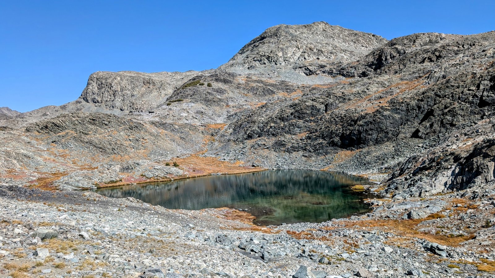
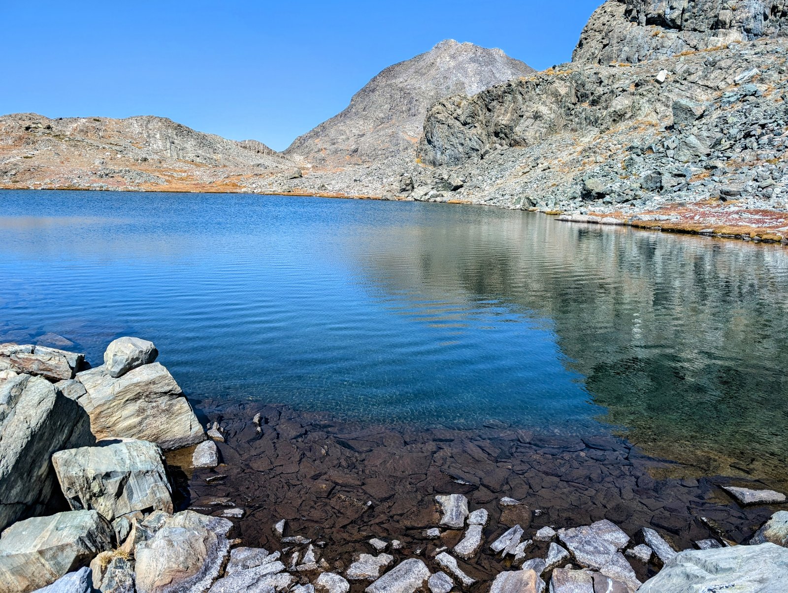
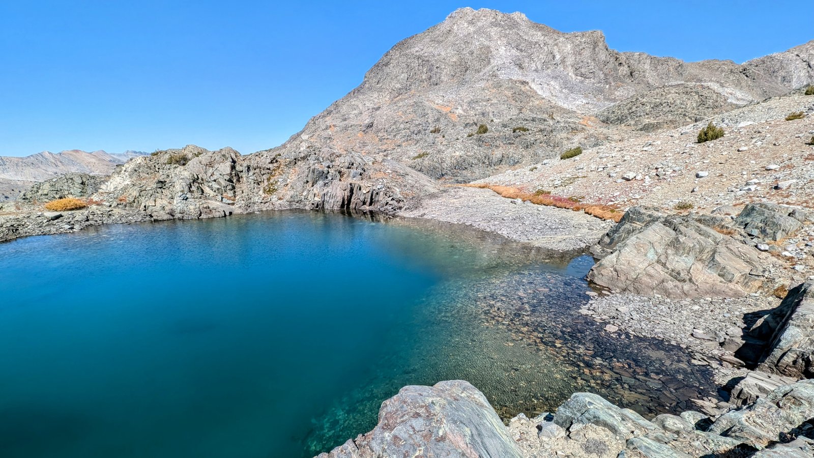
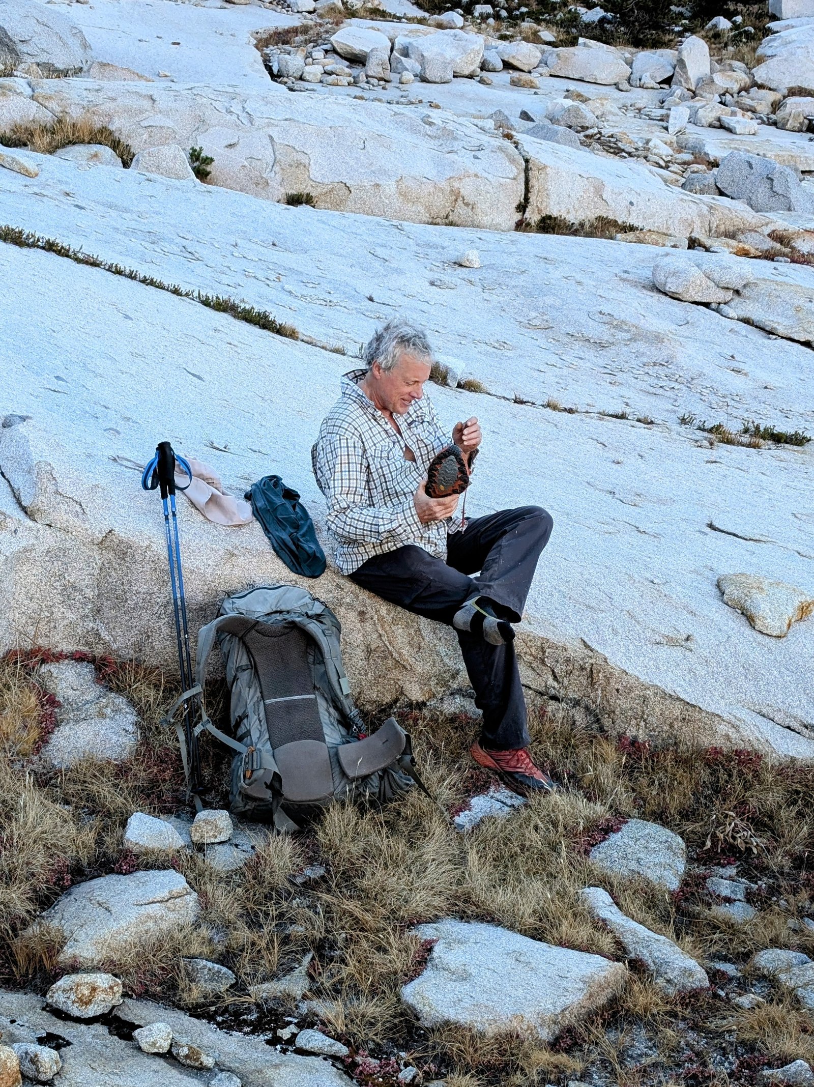
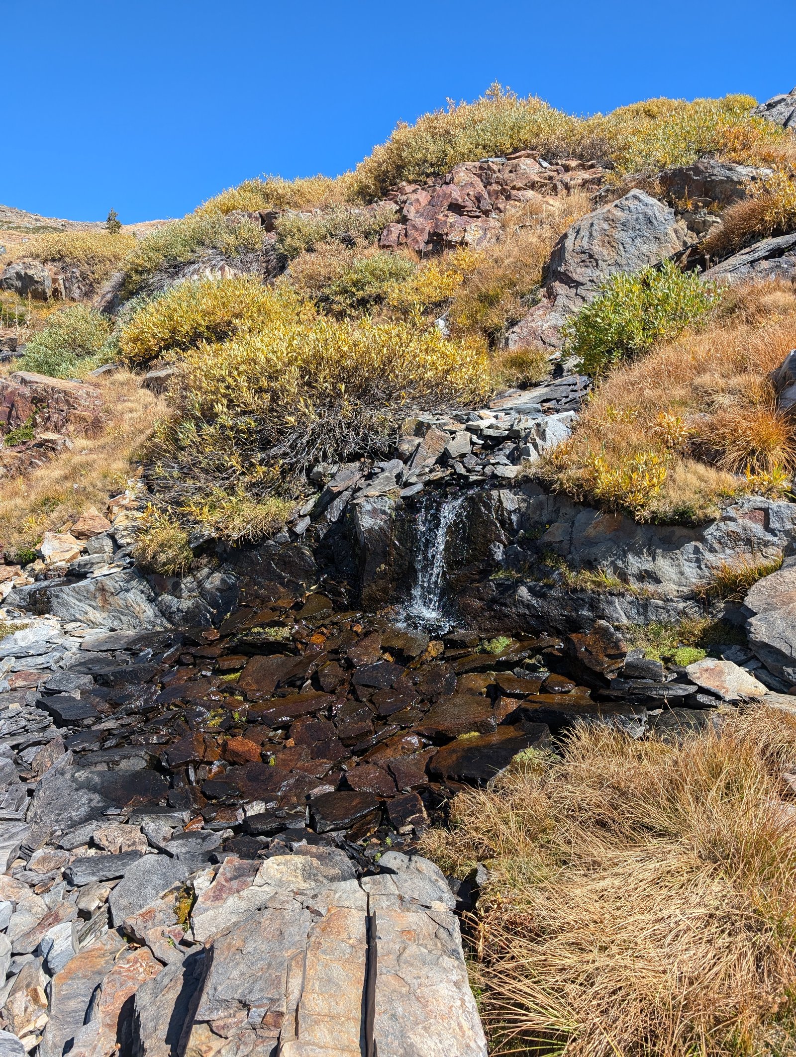
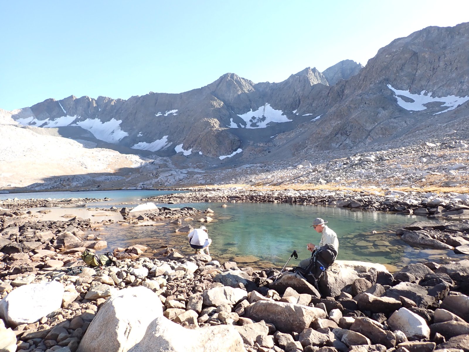
Then we had to drop down to a lake at 11300 feet where we planned to have lunch. The drop was pretty steep and might have been more difficult if the creek down the ravine had water in it.

pxl_20241001_1946392272
Looking down towards the lake at 11,300 feet
pxl_20241001_1955204042
Looking back up to the 7 lake bench

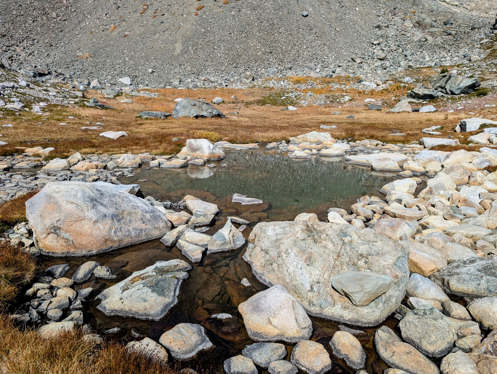
Unfortunately, there was no shade and no water at the lake!

pxl_20241001_2011078182
Cold ramen in the hot sun
pxl_20241001_2025559132
No water here
pa0101262
JimmyJam swims across the dry lake!

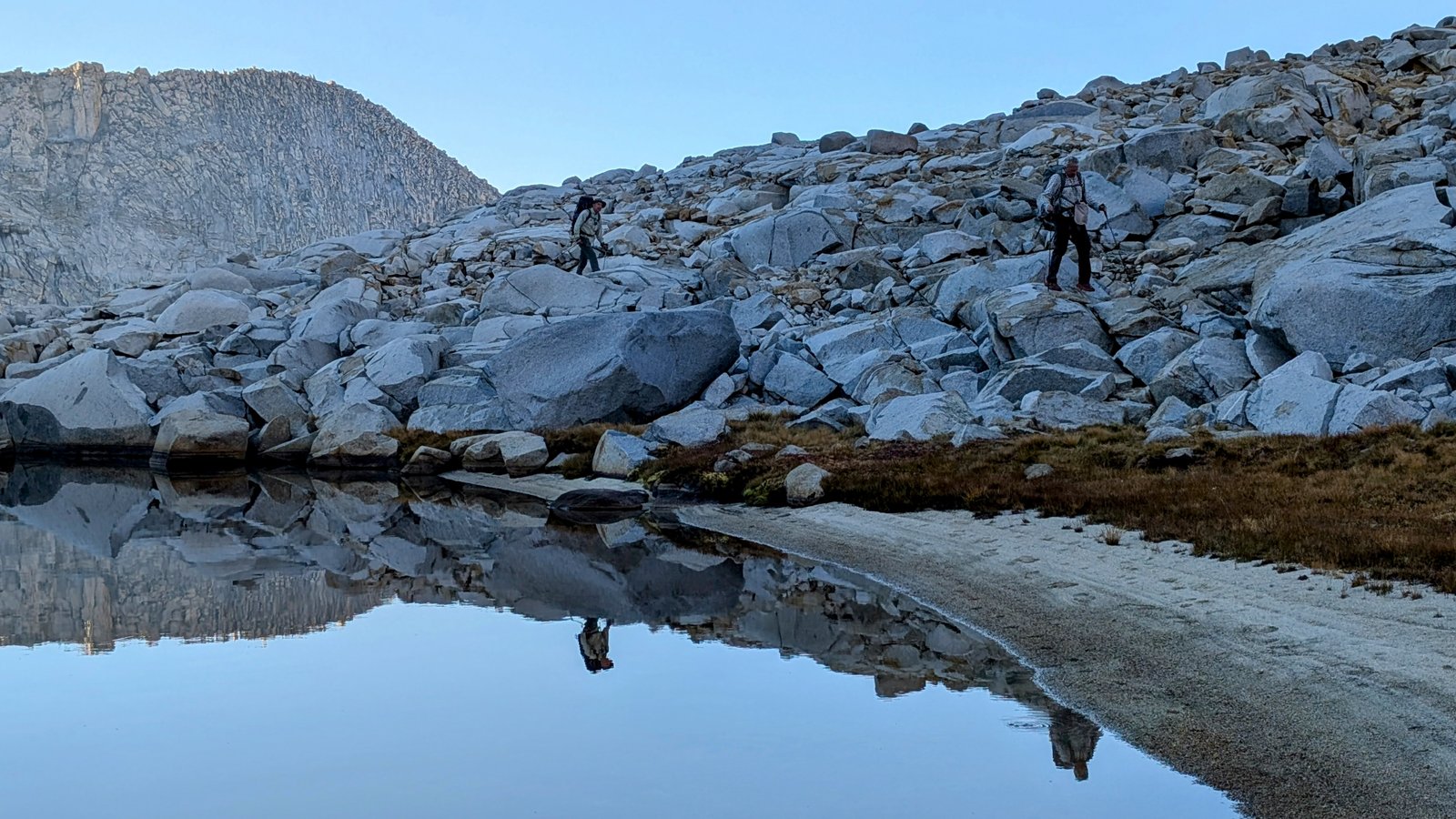
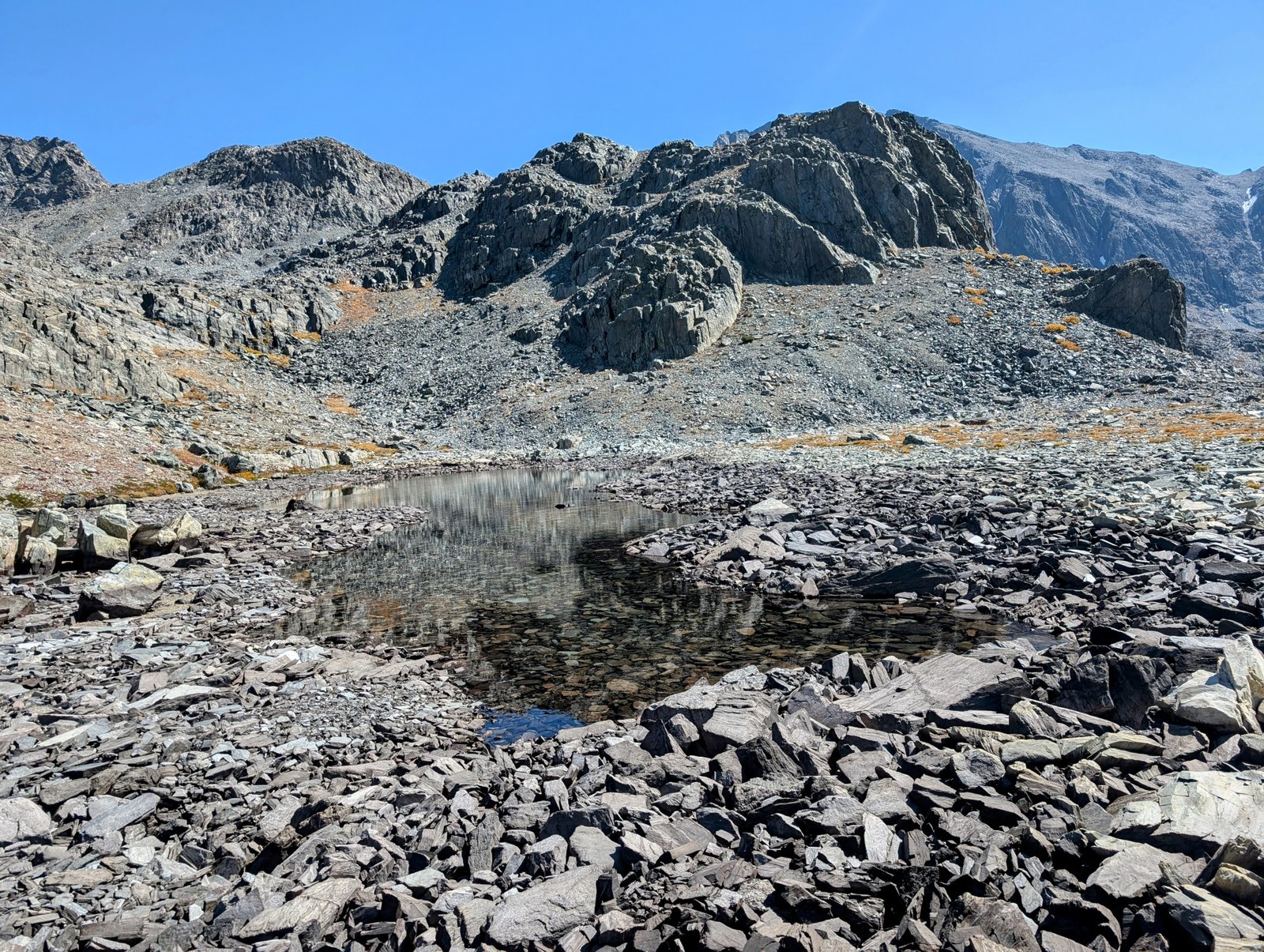
We then had to go up and down a few ridges that separated other lakes.

pxl_20241001_2029272452
Climbing above the dry lake
pxl_20241001_2034523392
This one has water!
pxl_20241001_2035355852
And this one
pxl_20241001_2038311432
Looking back to the southeast

I originally did not know about this route along the benches and thought we would have to descend the South Fork San Joaquin River from Martha Lake. But that would have been a much longer trip.

pxl_20241001_2042295602
South Fork San Joaquin far below

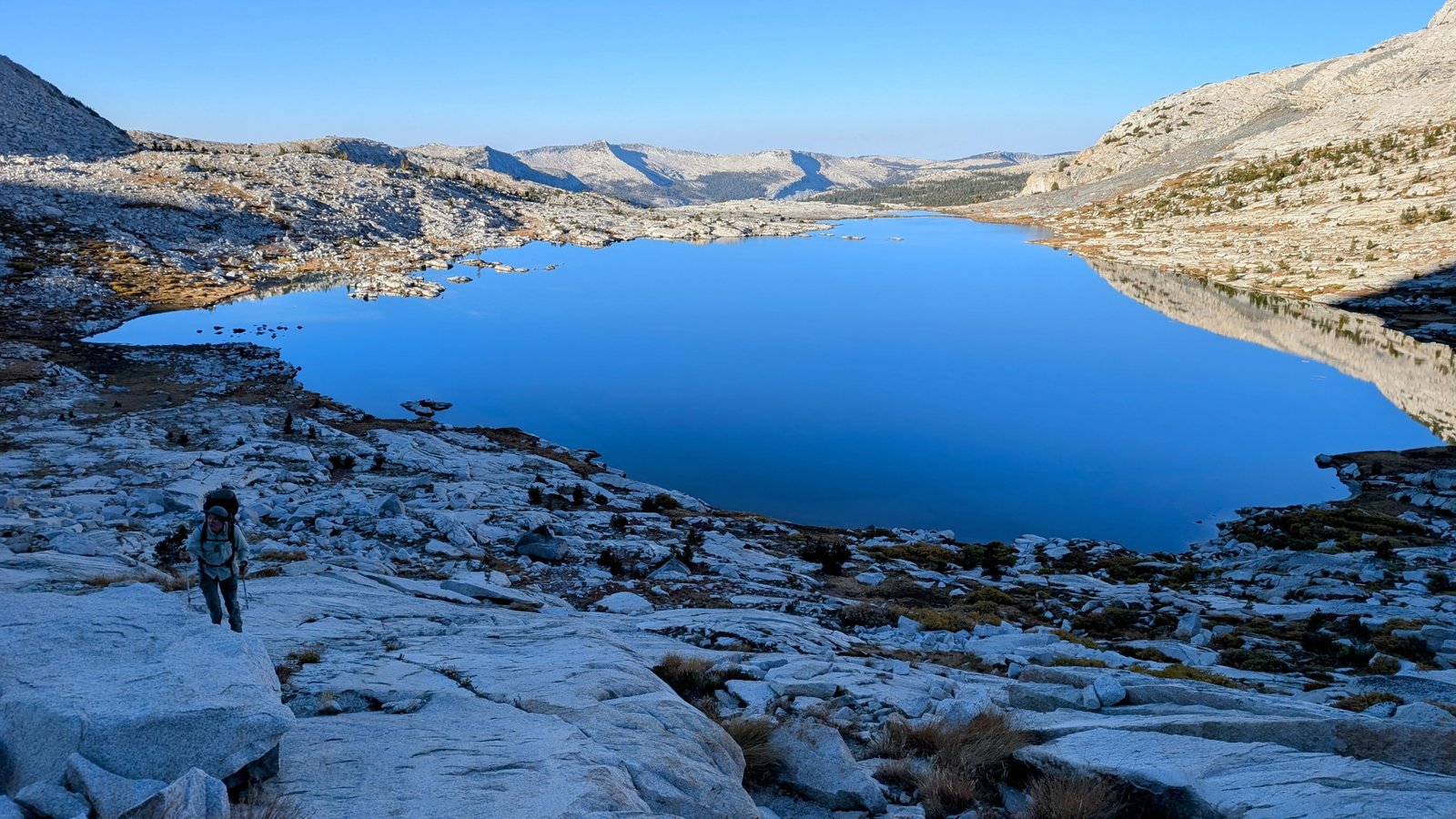
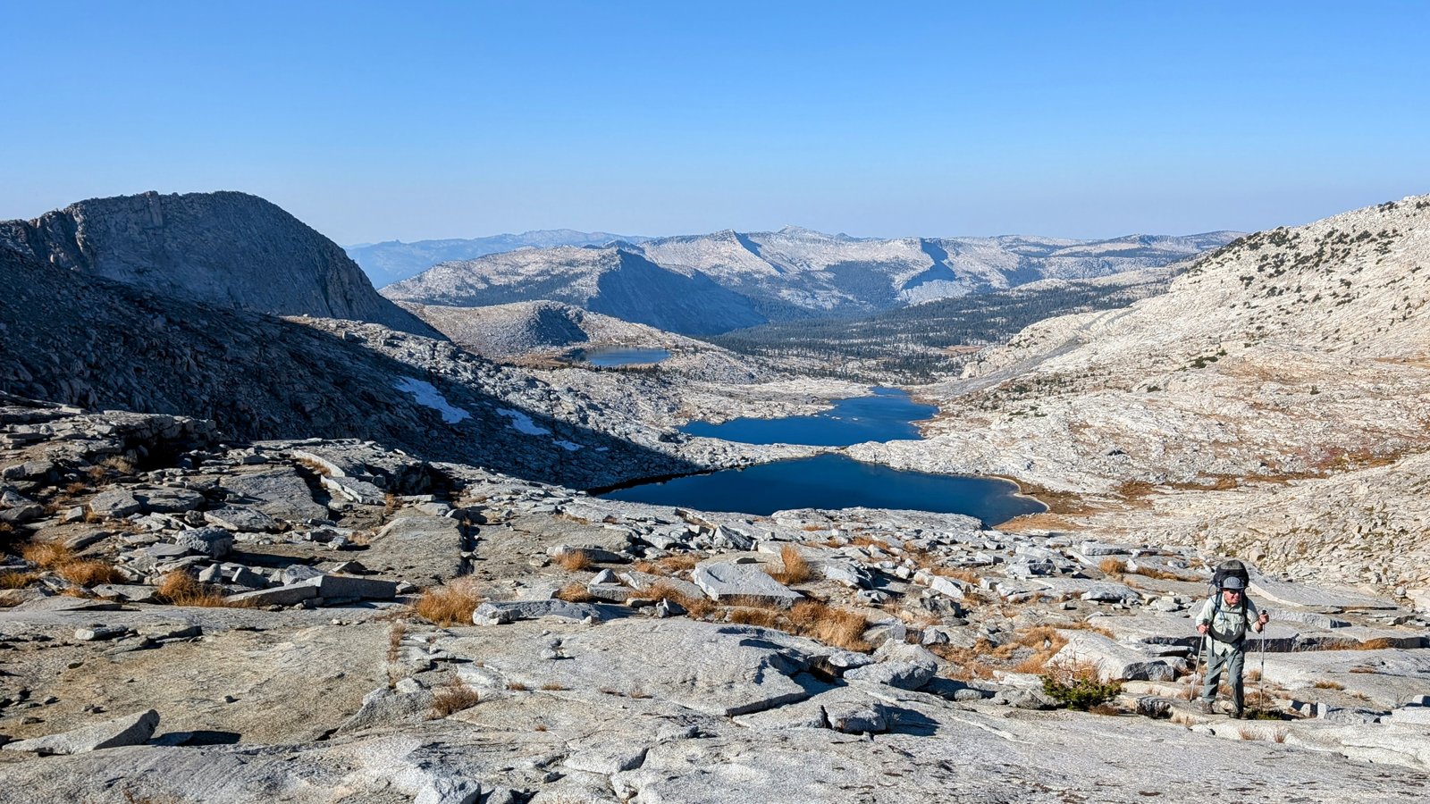
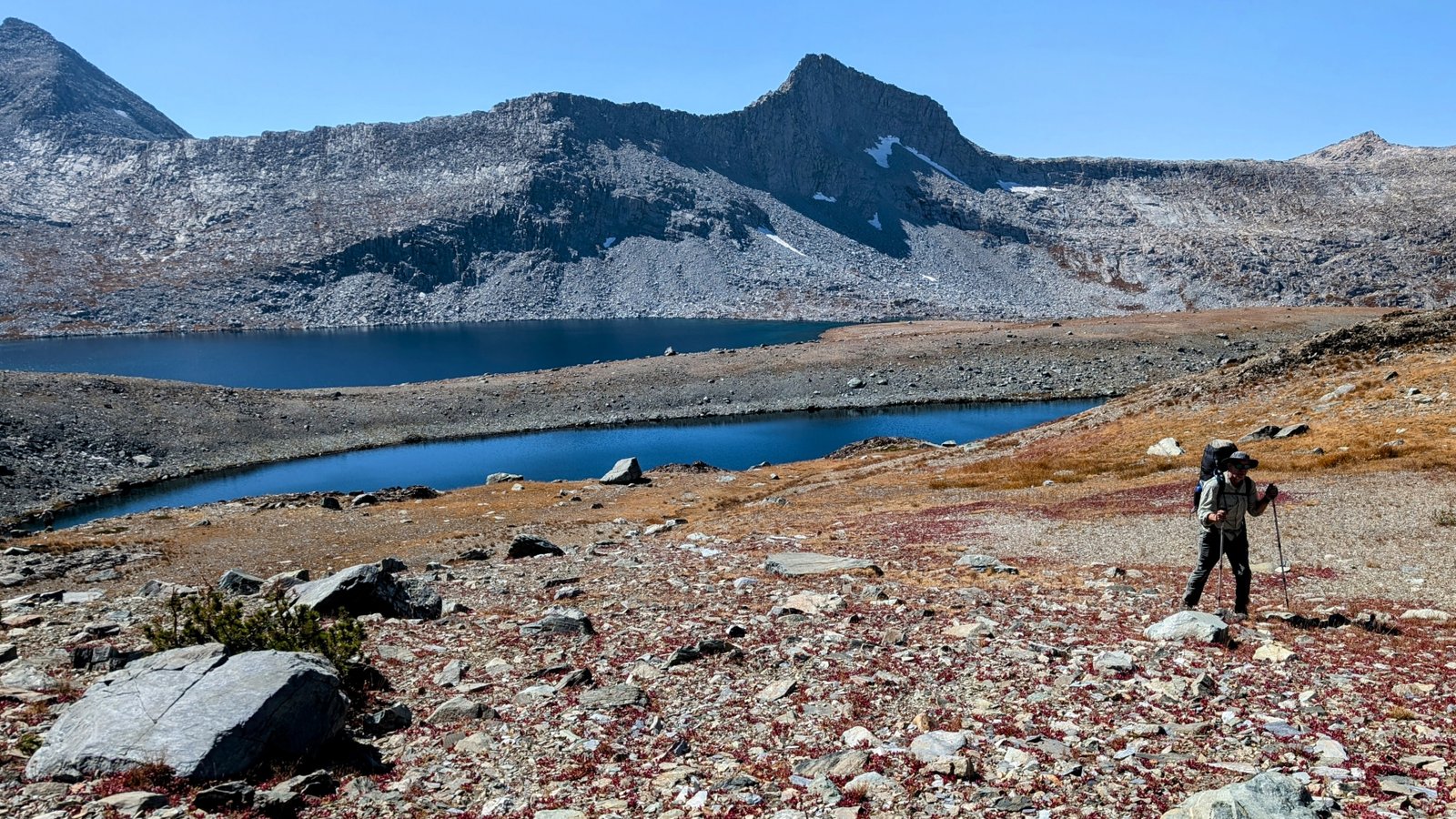
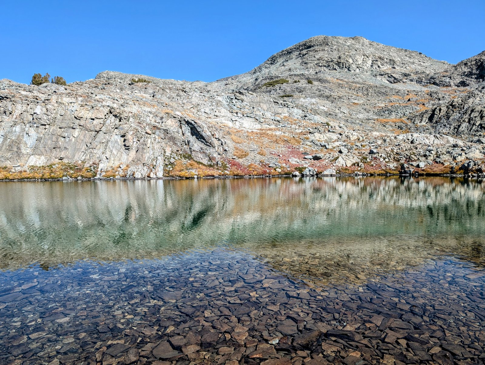
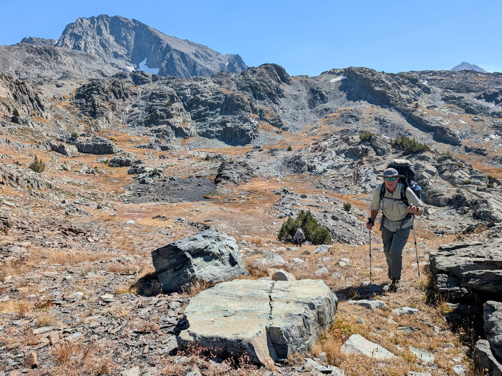
We turned northeast to follow another bench at 11,300 feet towards Davis Lake.

pxl_20241001_2049560742
Hey, this lake is not even on my map!
img_7233
JimmyJam below Peak 12434

The terrain got pretty complex around the next lake. We stayed high above it but it probably would have been better to circle it lower down.

pxl_20241001_2055594992
Last lake on the bench
pxl_20241001_2059289162
Probably easier to be down there

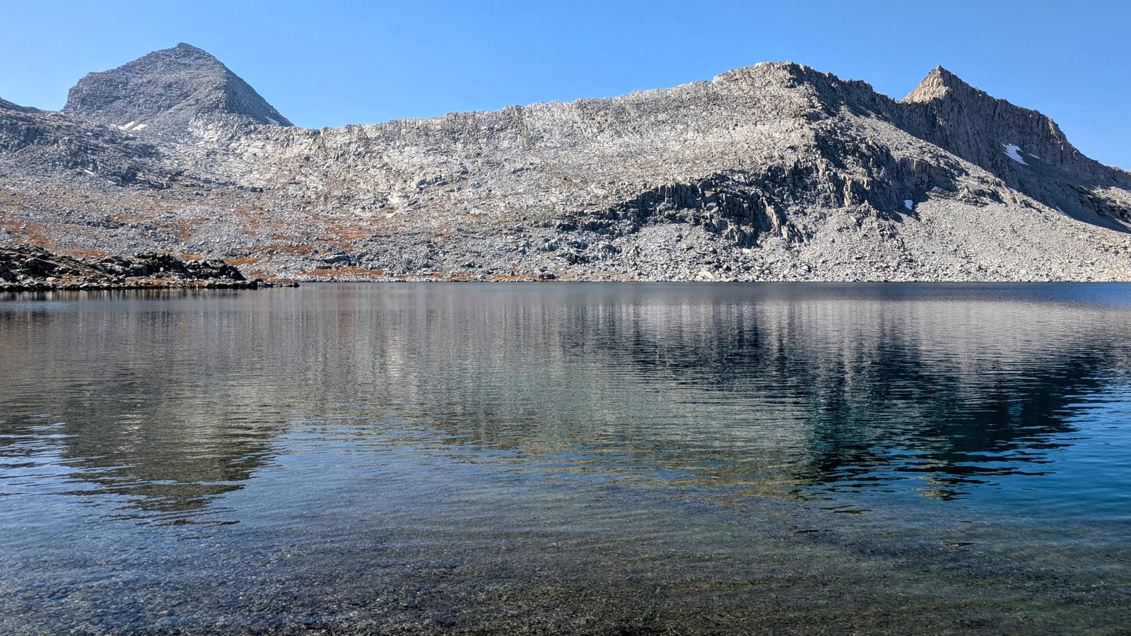
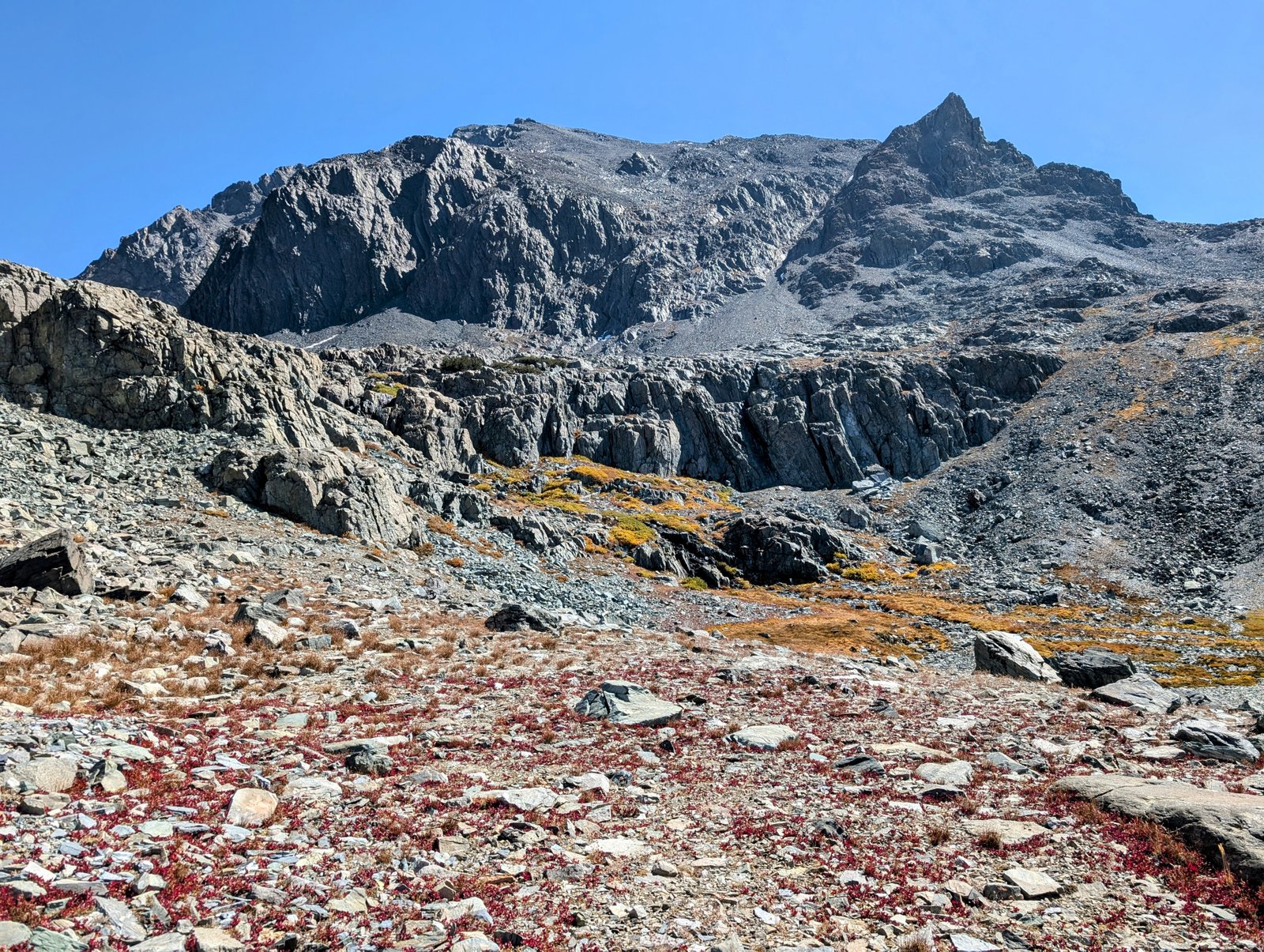
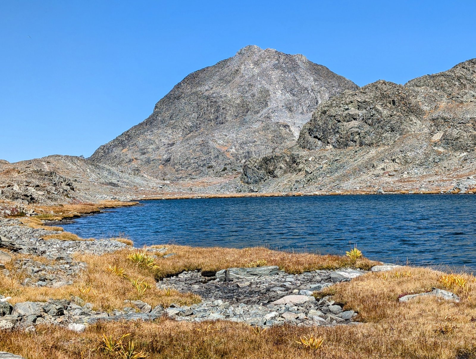
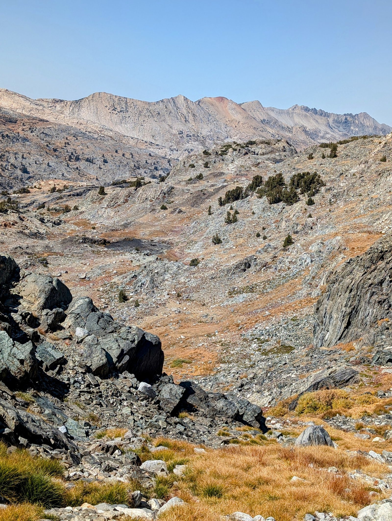
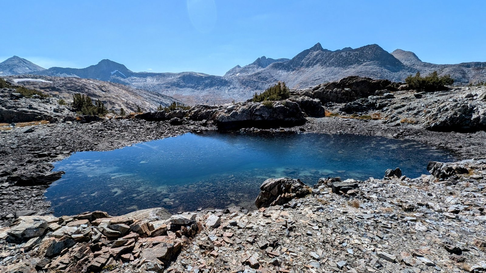
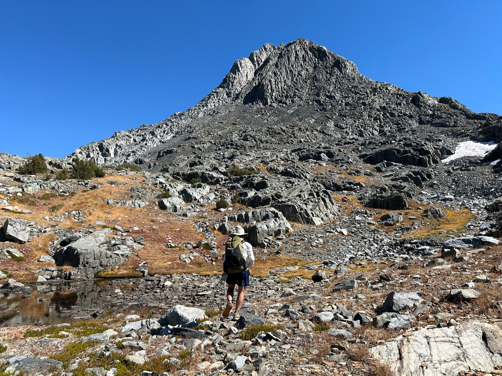
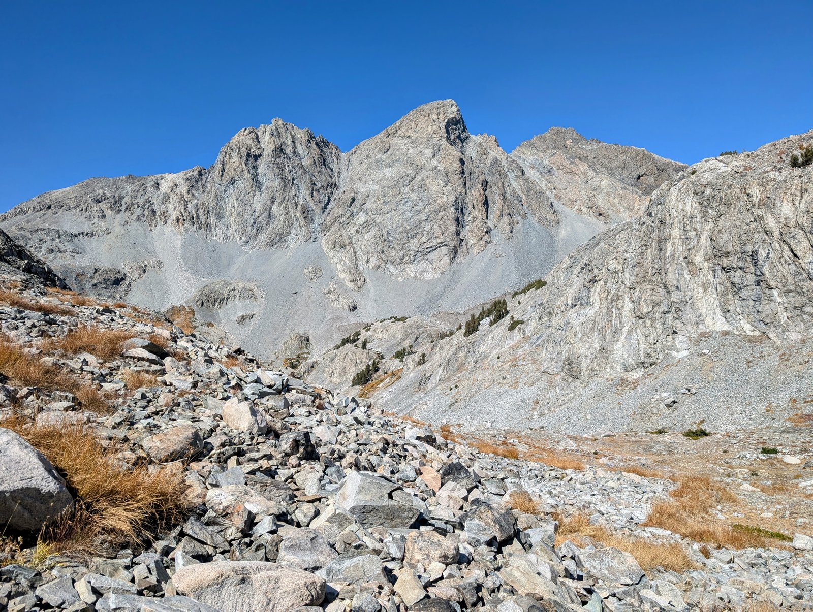
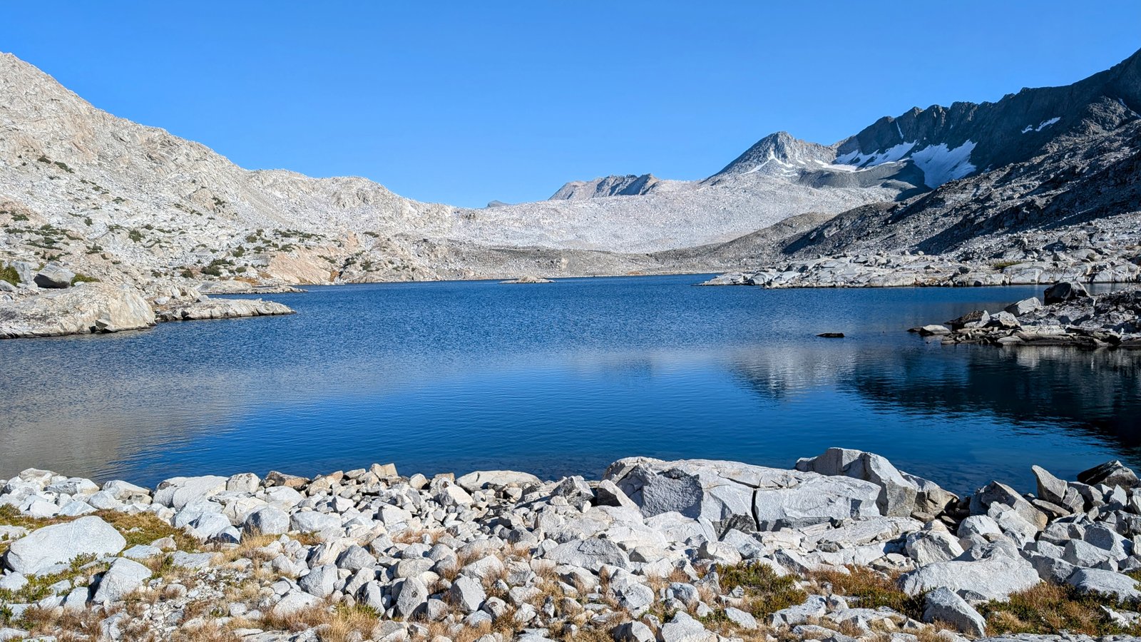
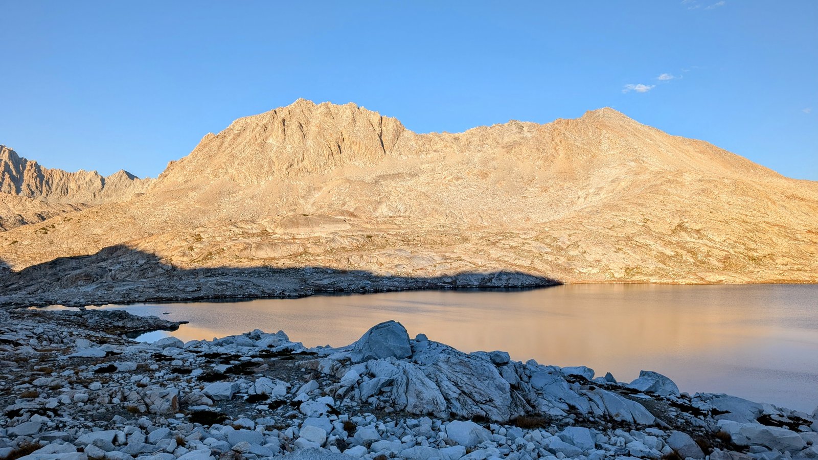
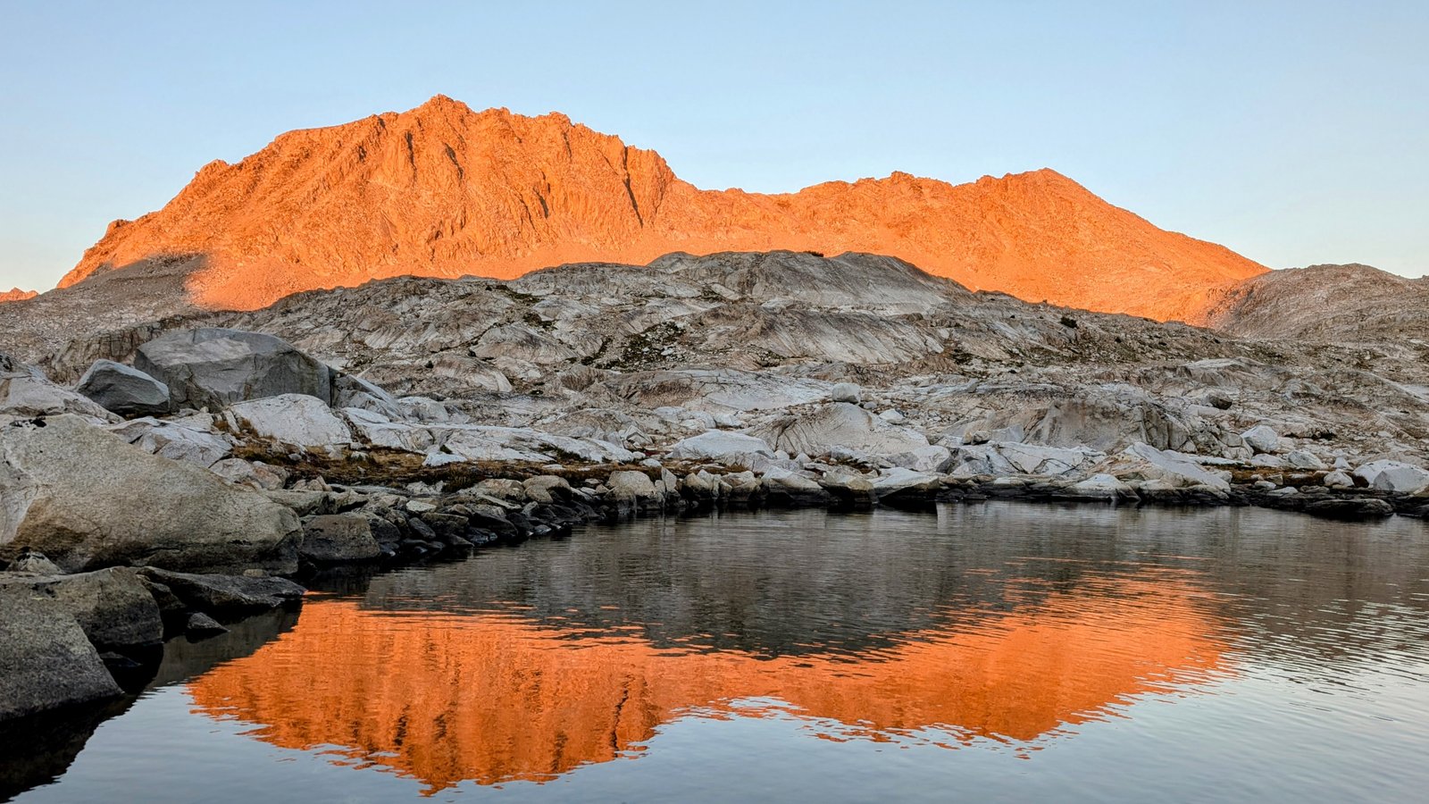
And then we started to get our first view of the vast ridge above Davis Lake.

pxl_20241001_2102405442
Getting closer!
pxl_20241001_2115584492
First view of Davis Lake in the distance

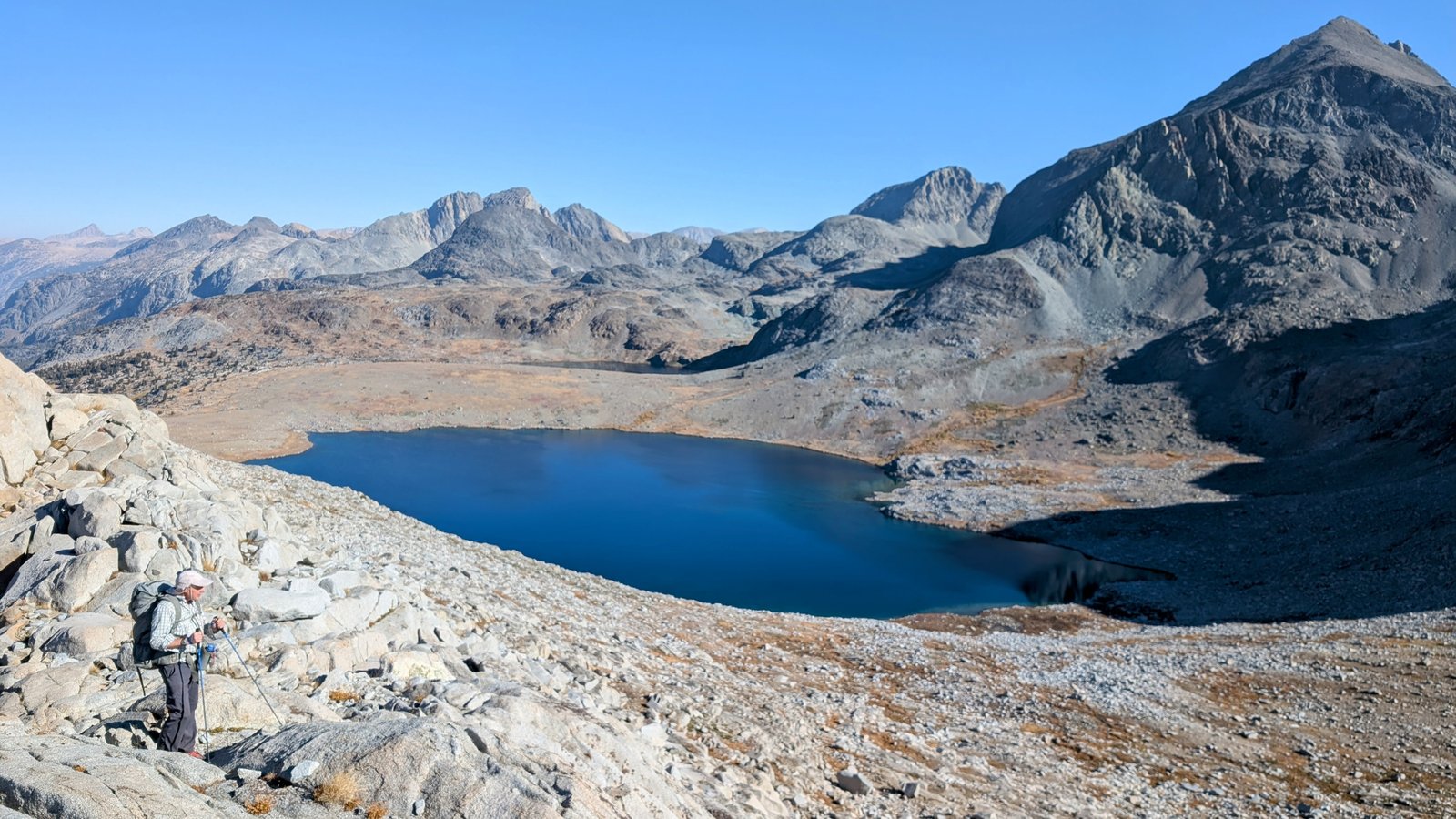
At this point I got very upset. I originally thought we could approach Davis Lake directly and follow its shore. But there are vertical cliffs on is southwestern shore. So instead we had to descend North Goddard Creek for a while before climbing to yet another saddle to drop down to the northwestern shore. It worked out, but I was worried it would delay us past dark.

pxl_20241001_2118021942
Mount McGee towers over North Goddard Creek
pxl_20241001_2122401922
Our detour down the creek
pxl_20241001_2137588742
Chia climbs to the saddle
pxl_20241001_2140049242
A little tarn below the saddle
pxl_20241001_2142265022
Rounding the tarn
pxl_20241001_2142545402
Sierran Tree frog
pxl_20241001_2143481512
Yet another tarn
pxl_20241001_2145387152
Lake 11,080+

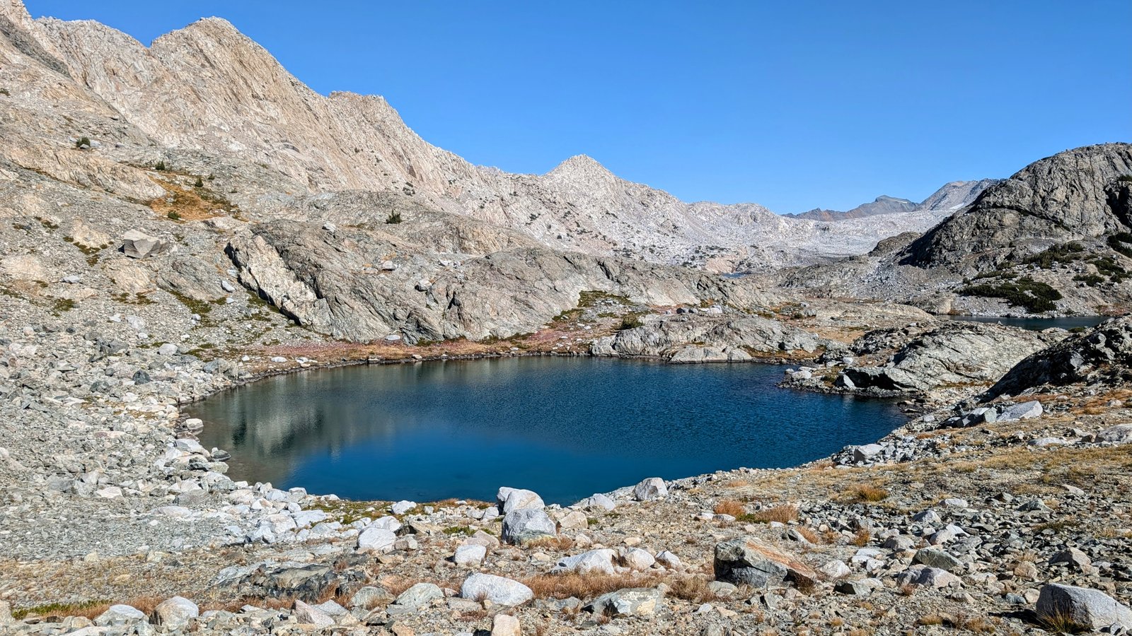
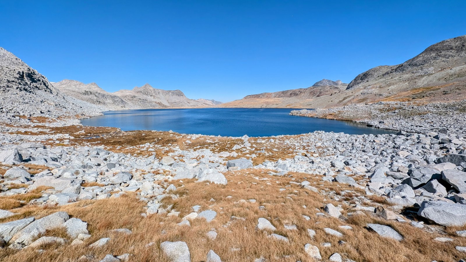
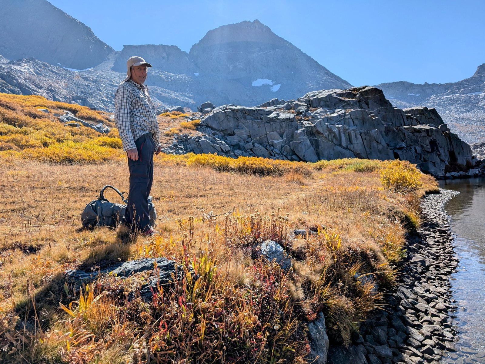
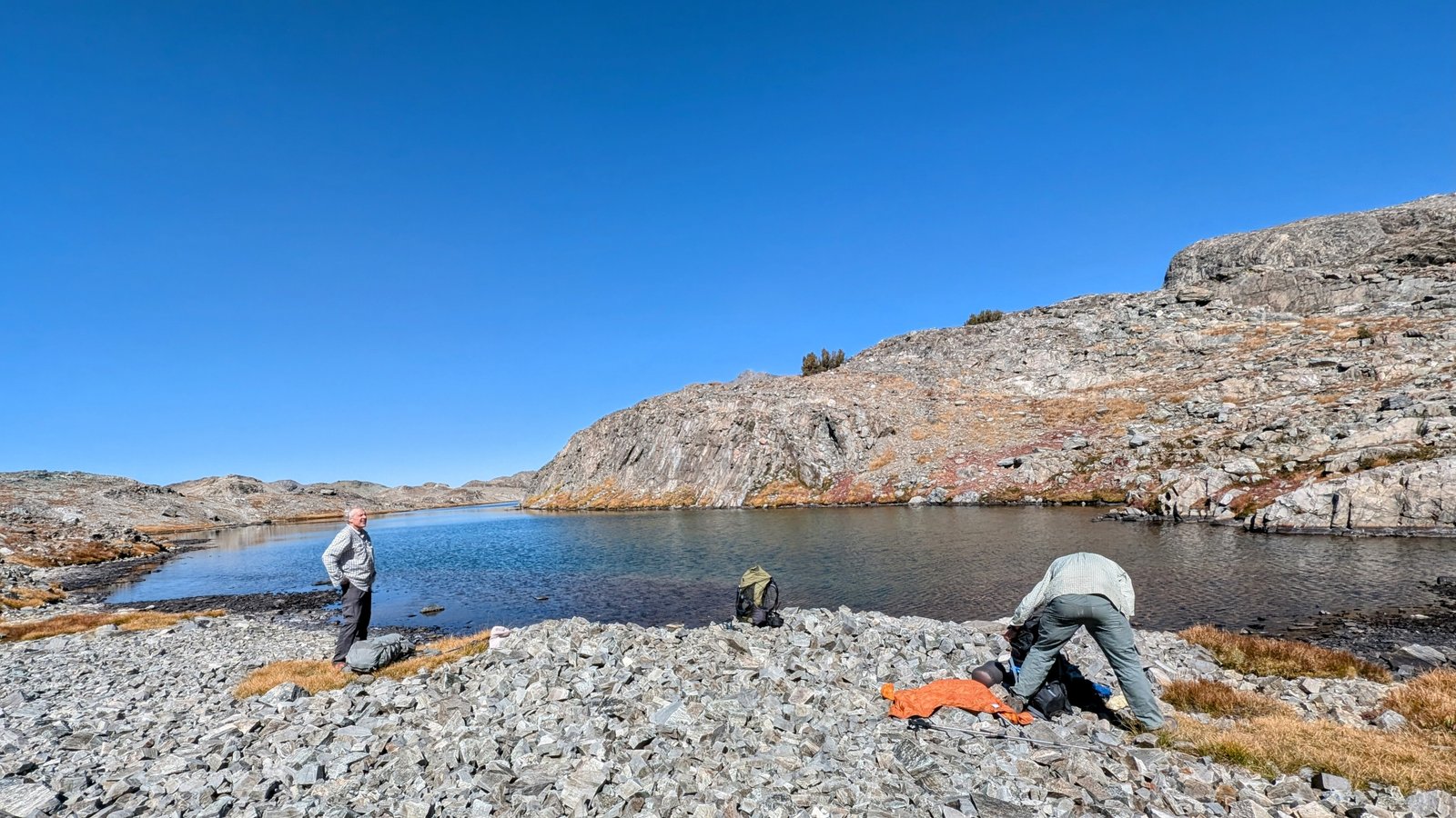
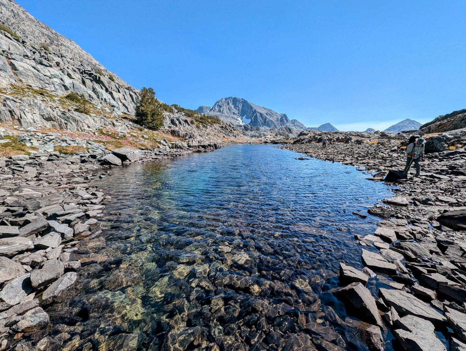
And then, finally, we reached it!

pxl_20241001_2153483382
Davis Lake!

We were running behind schedule. I was still worried about climbing talus and then looking for a campsite in the dark.

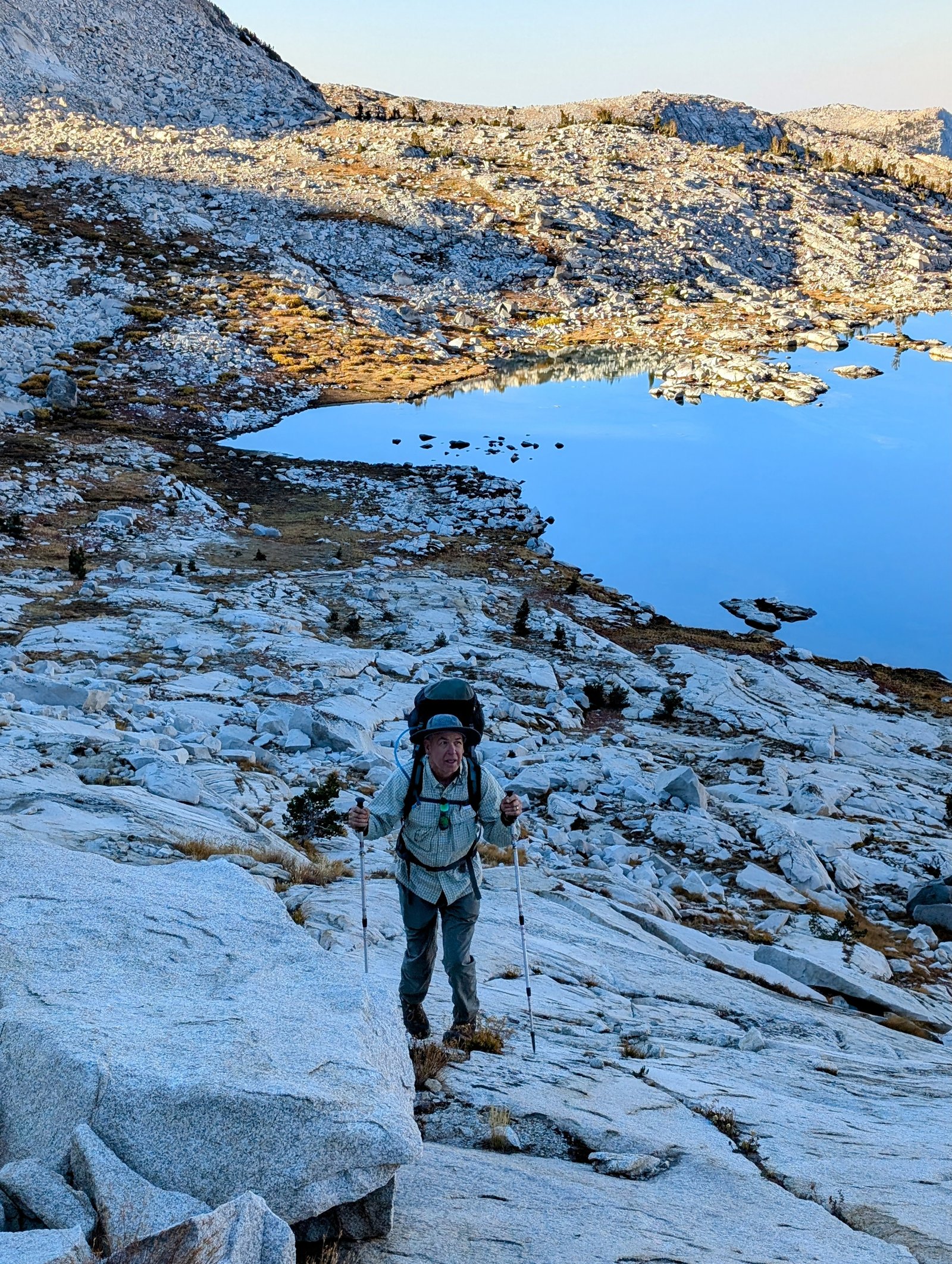
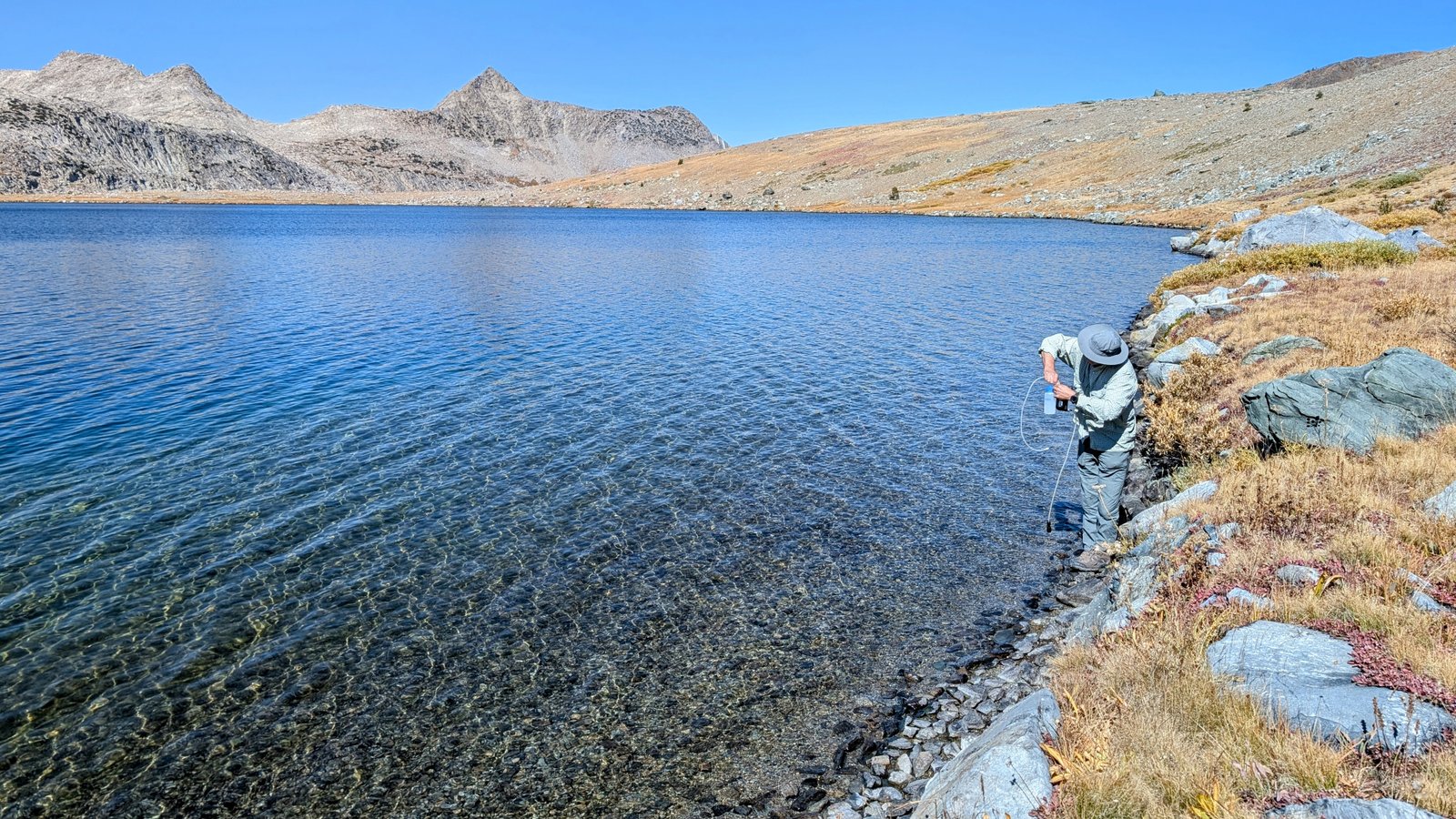
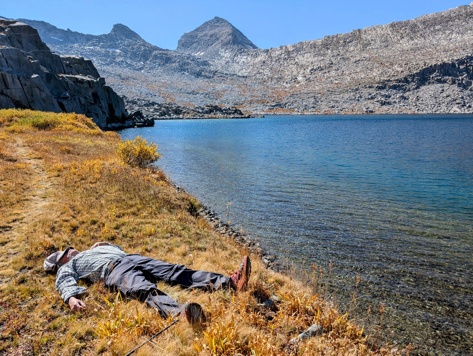
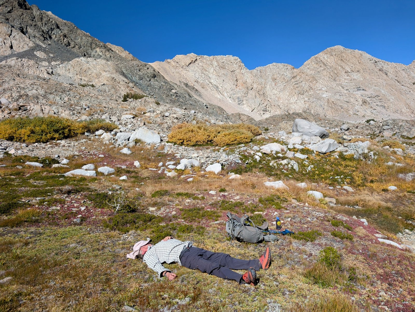
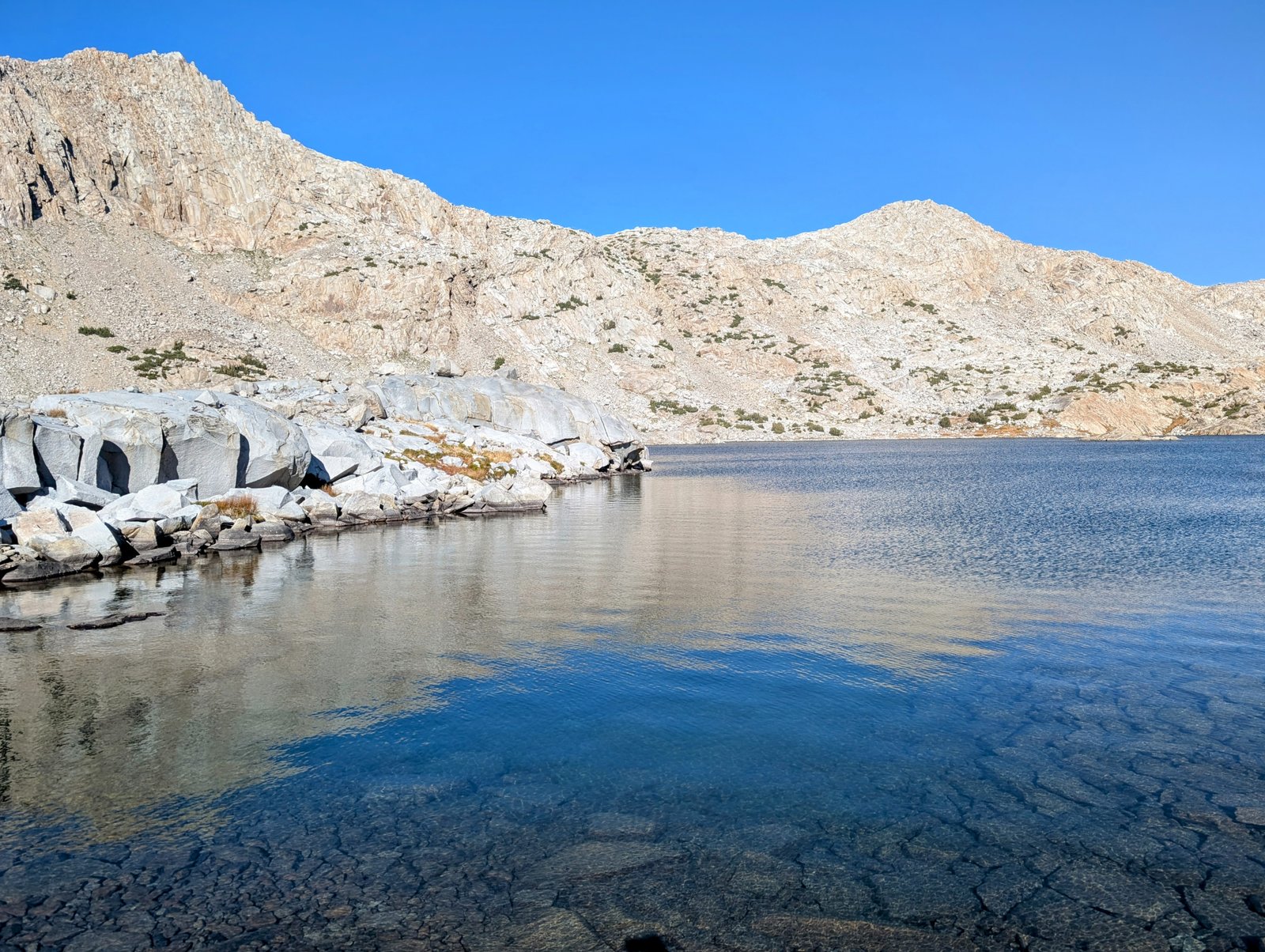
But the lake was too delicious to rush. Chia and I took a dip, and Ultra took a brief nap.

pa0101352
My swimming hole
pxl_20241001_2216190682
Ultra’s napping hole

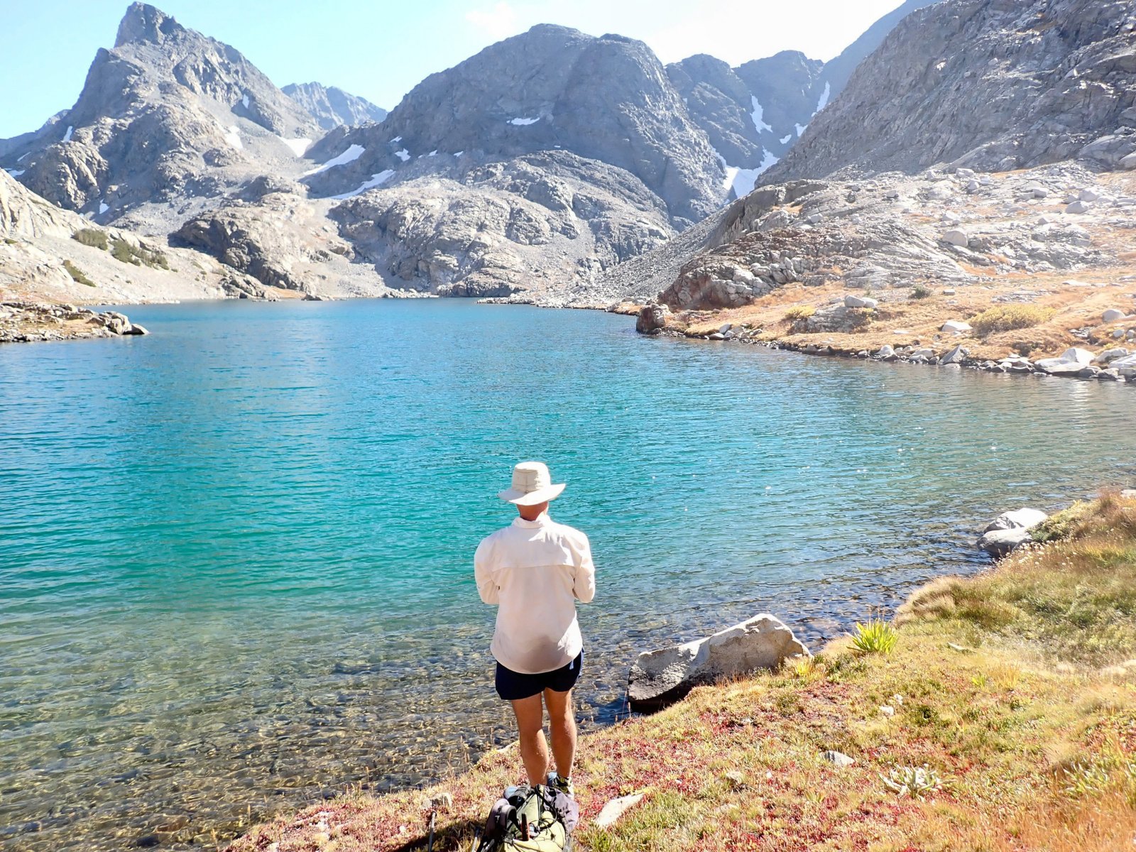
We all recharged and then started our circumnavigation of the lake.

pxl_20241001_2228167432
Here we go!
pxl_20241001_2236227652
View along the northern shore of Davis Lake
pxl_20241001_2241077622
The northernmost island in the lake
pxl_20241001_2248160092
Heading towards an isthmus that separated two parts of the lake
pxl_20241001_2252252072
The eastern part of Davis Lake
pxl_20241001_2259061902
View north along the east shore of the isthmus
pxl_20241001_2317242872
Looking back at Mount McGee
pxl_20241001_2325326412
Slow Mountain Grasshopper

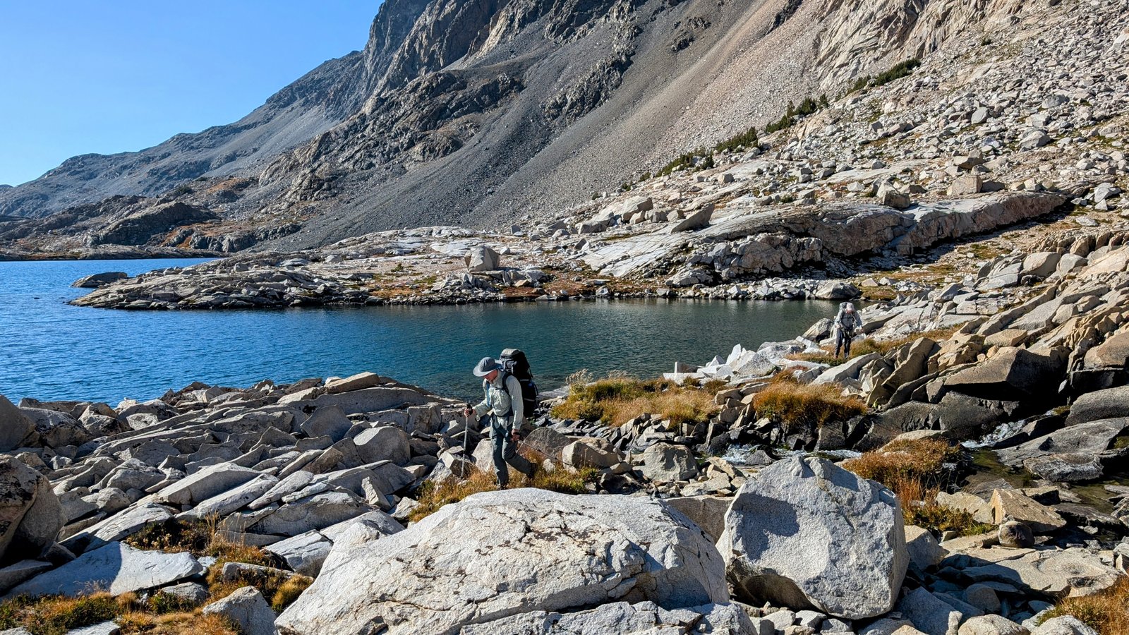
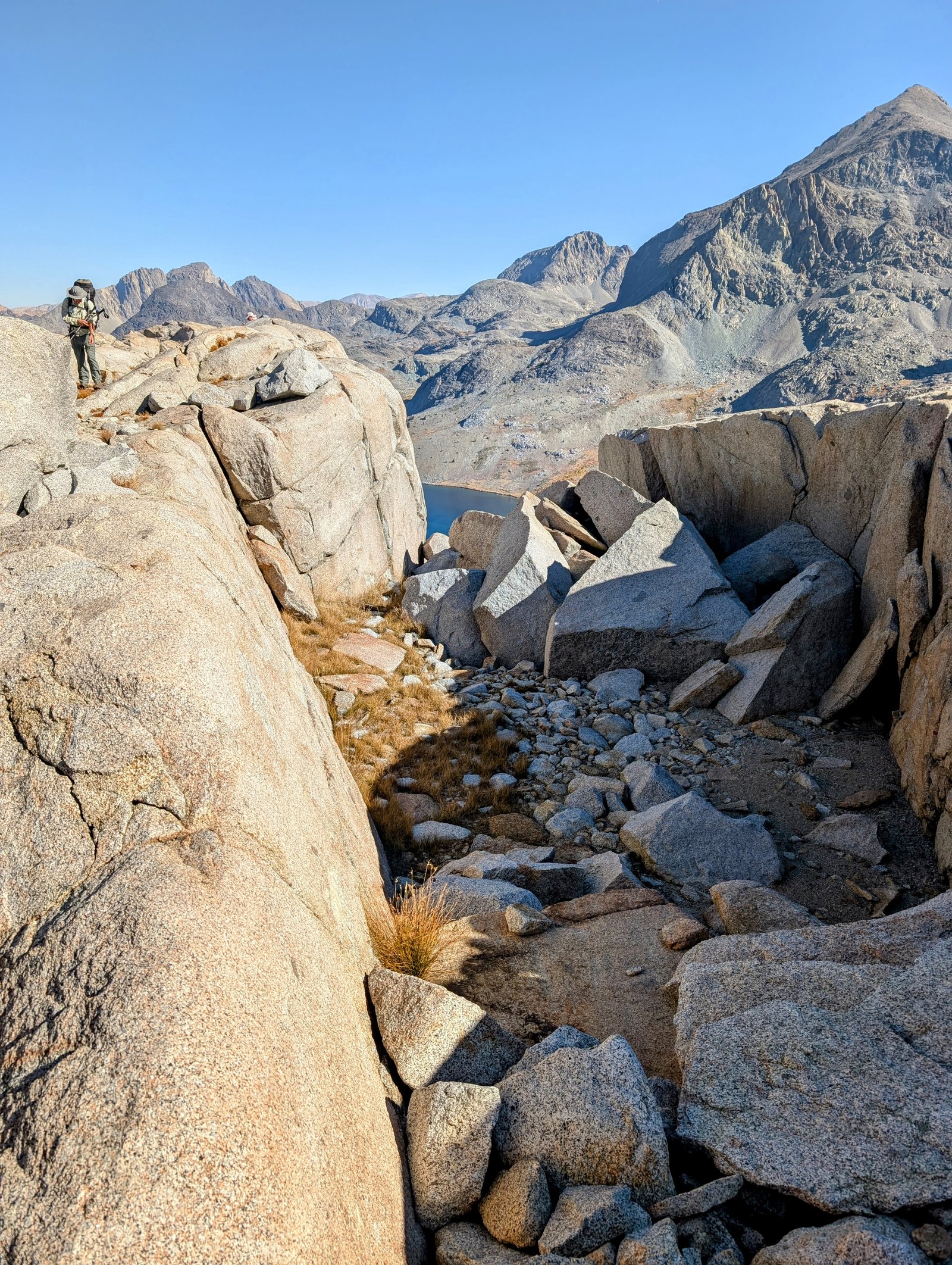
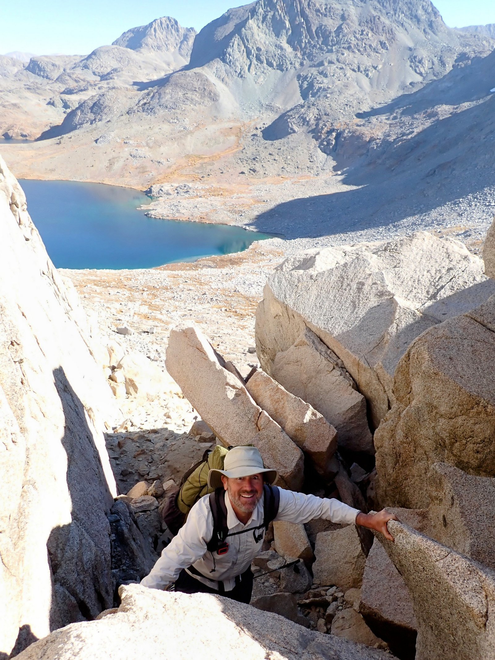
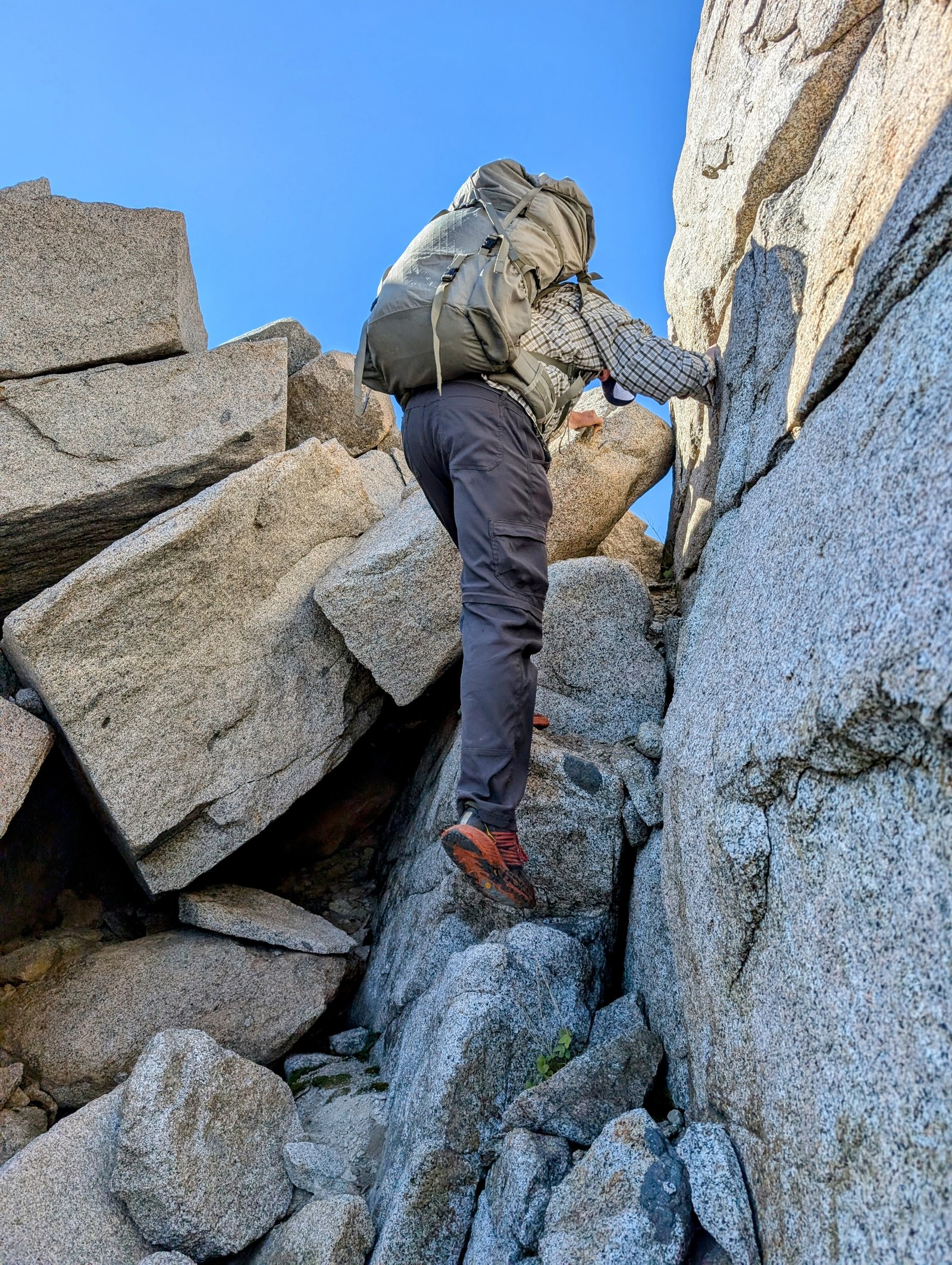
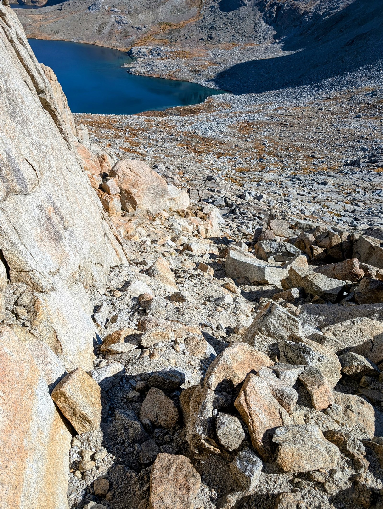
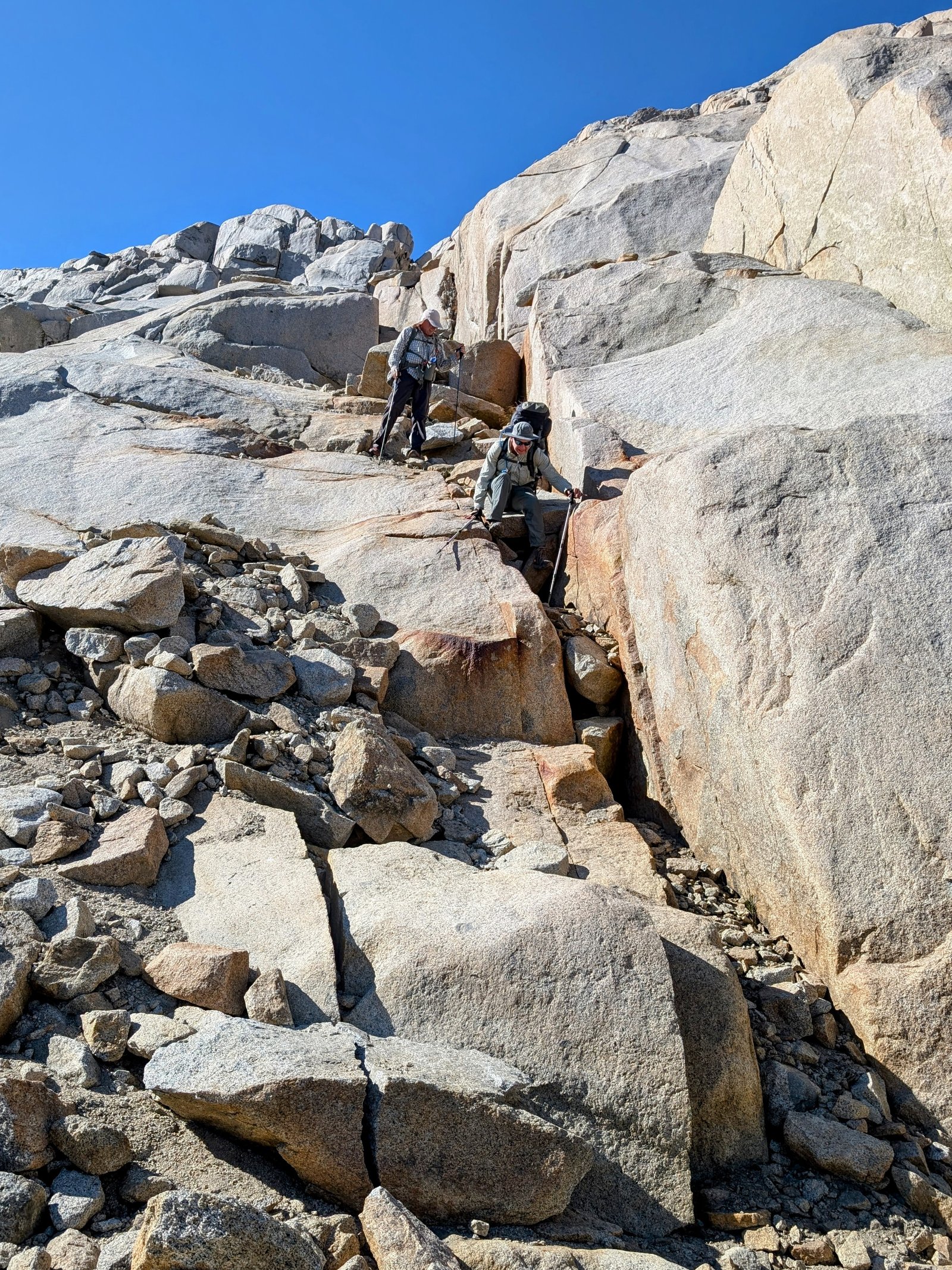
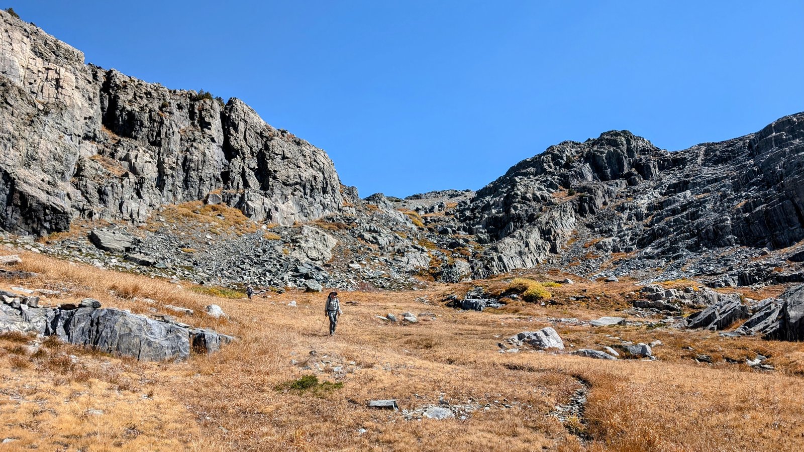
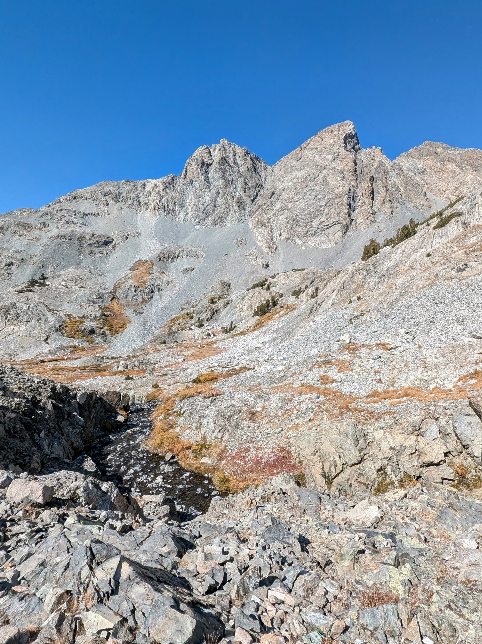
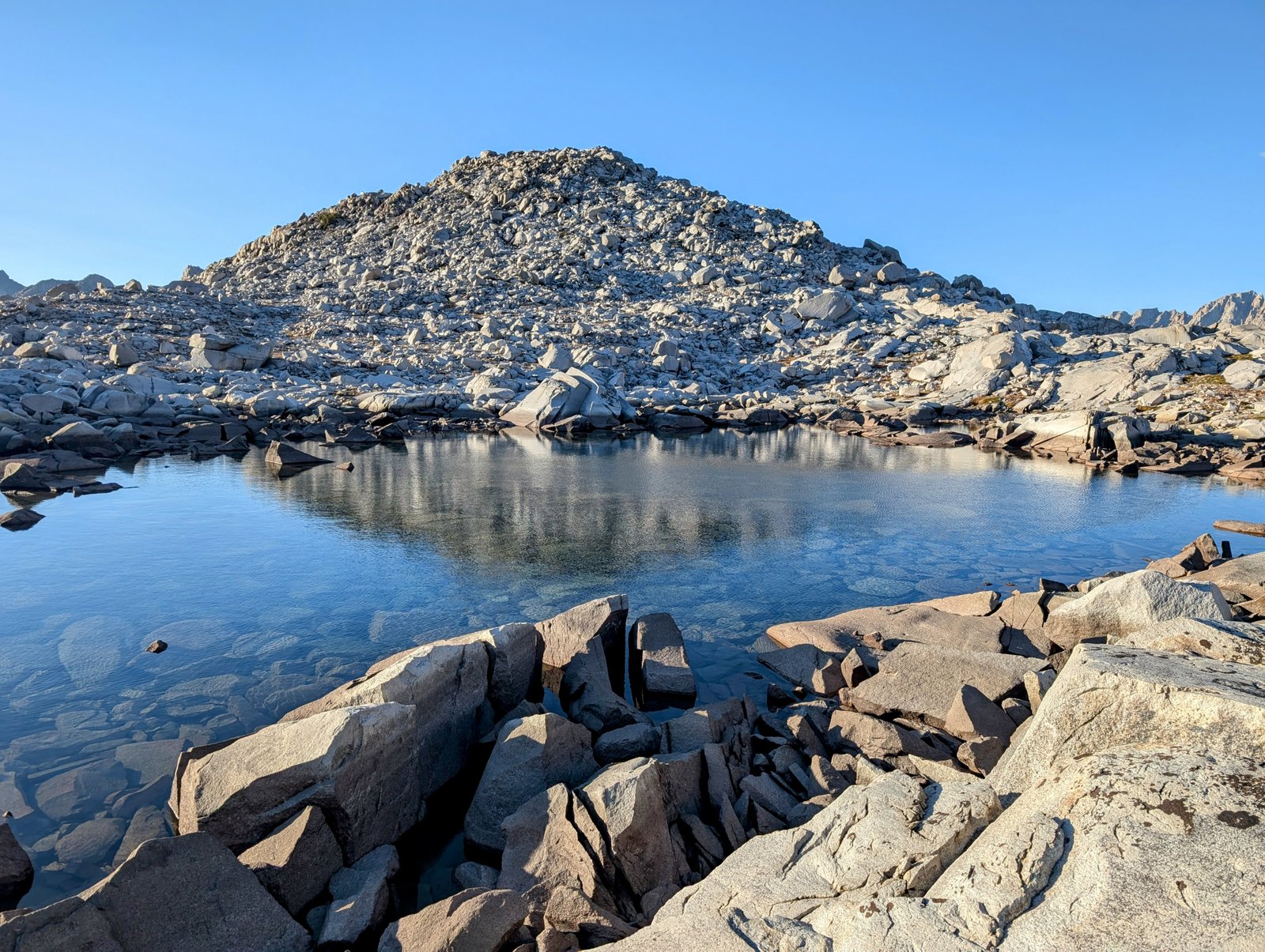
The talus started in earnest at the isthmus and continued more or less all the way up to Davis Lake Pass.

pxl_20241001_2326064362
So much talus!
pxl_20241001_2334219672
Climbing above Davis Lake
pa010139
Lake 11196

From the last lake it was steep and rocky but not exposed up to the pass. I routed us too far to the south, but I realized my mistake in time to keep us from doing any unnecessary elevation gain. By quarter to six we made it to the top.

pxl_20241002_0039096112
Small lake at Davis Lake Pass

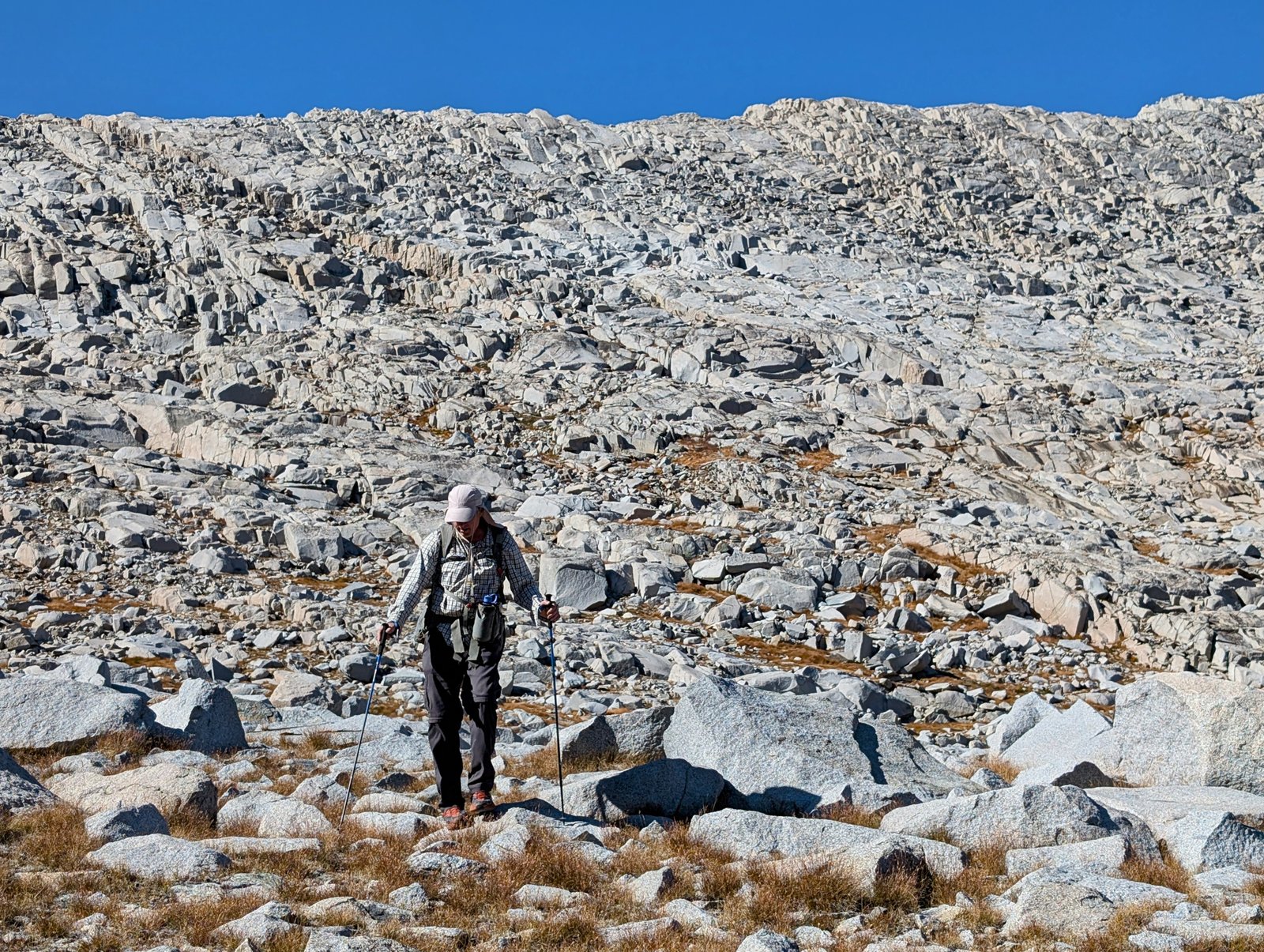
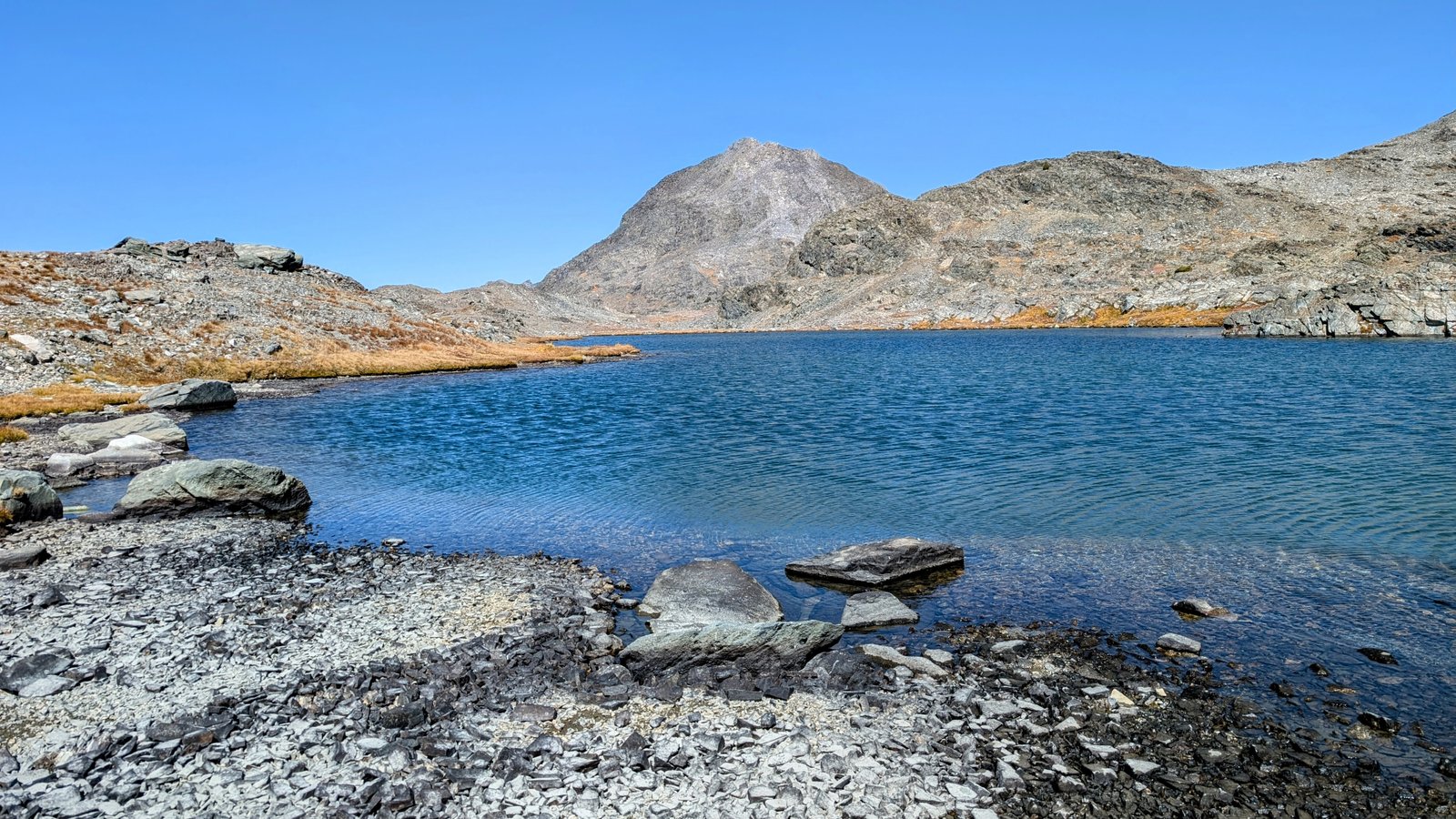
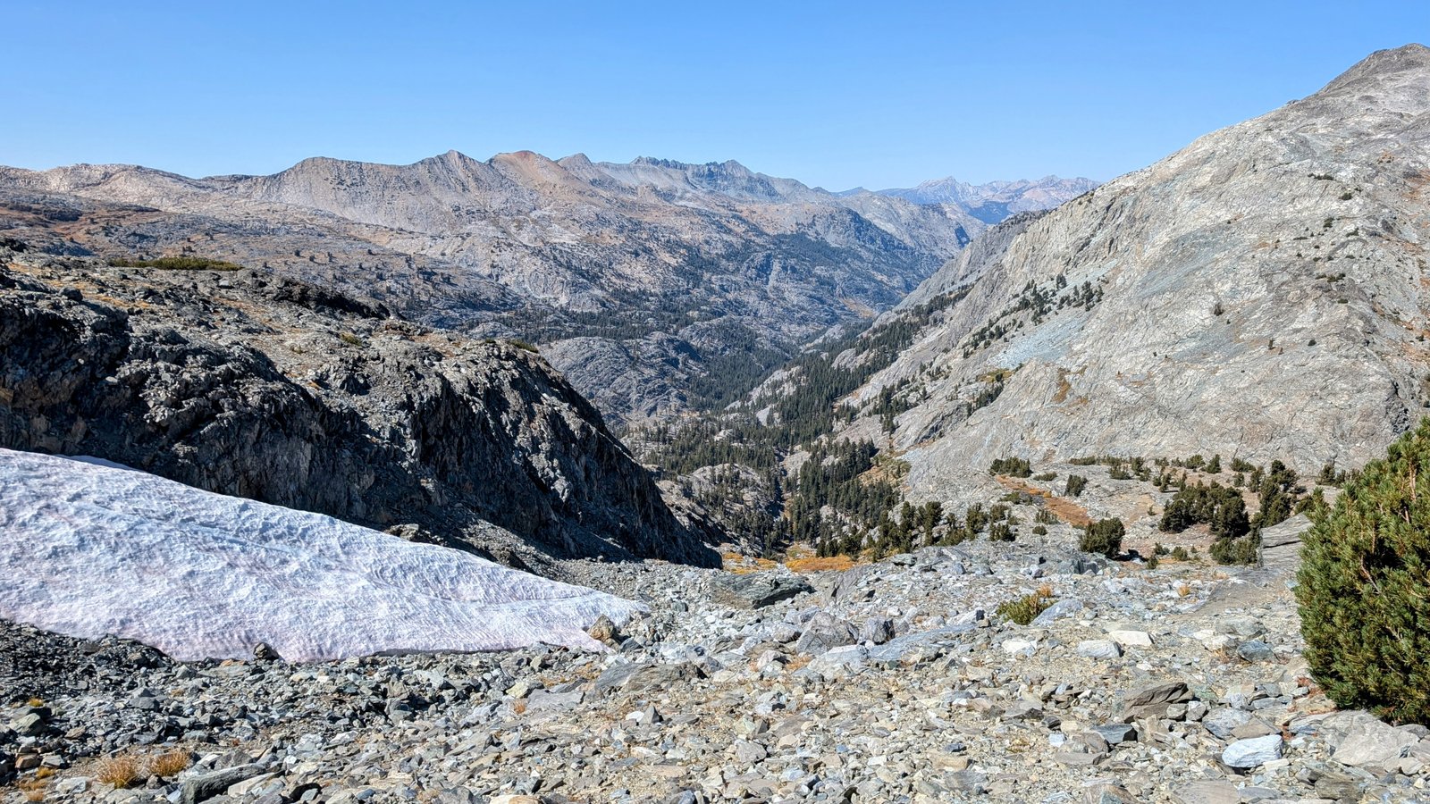
Fortunately, the terrain mellowed on the east side of the pass. Flat granite slabs led us most of the way down to Wanda Lake where we found campsites near the John Muir Trail.

pxl_20241002_0042292232
First view of Wanda Lake and Muir Pass in the distance
pxl_20241002_0053496662
Mount Huxley above Wanda Lake
pxl_20241002_0149114662-1
Yay campsites!

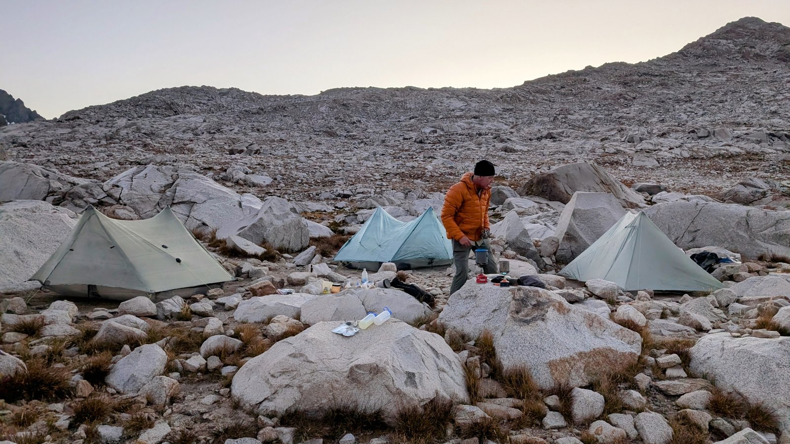
The wind slowed to a calm and it was quite warm for October. I was worried the site would be too exposed, but it was perfect. And what a view! Like camping on the moon….

pxl_20241002_0133206992
Good night!

4 Comments Add yours

  1. adamtdresser says:

    Not sure you can claim you hiked from sun up to sun down when that includes swimming and napping, but hey, HYOH!

    Loving your posts! Thanks for sharing with us.

    Liked by 1 person

    1. JimmyJam says:

      Haha. I guess I could also hike for 30 minutes, take an 11 hour break, then hike for another 30 minutes!

      Like

  2. saminland says:

    EPIC !!!

    Liked by 1 person

Leave a Comment