16 April 2024
South Kaibab Trailhead via FS 206 to Grandview Trailhead to ridge between Grapevine and Cottonwood Creek
(18 miles, +1,200/-4,600 feet).
I think this is my ninth visit to the Grand Canyon. And certainly not my last!
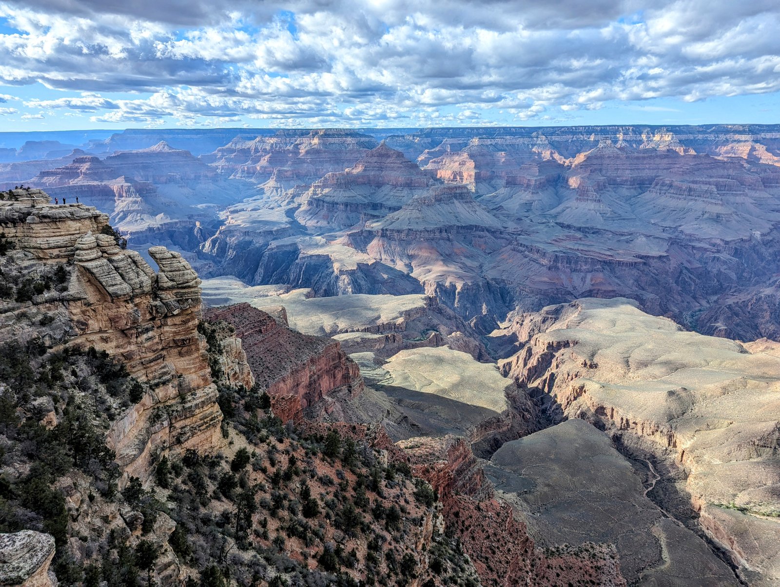
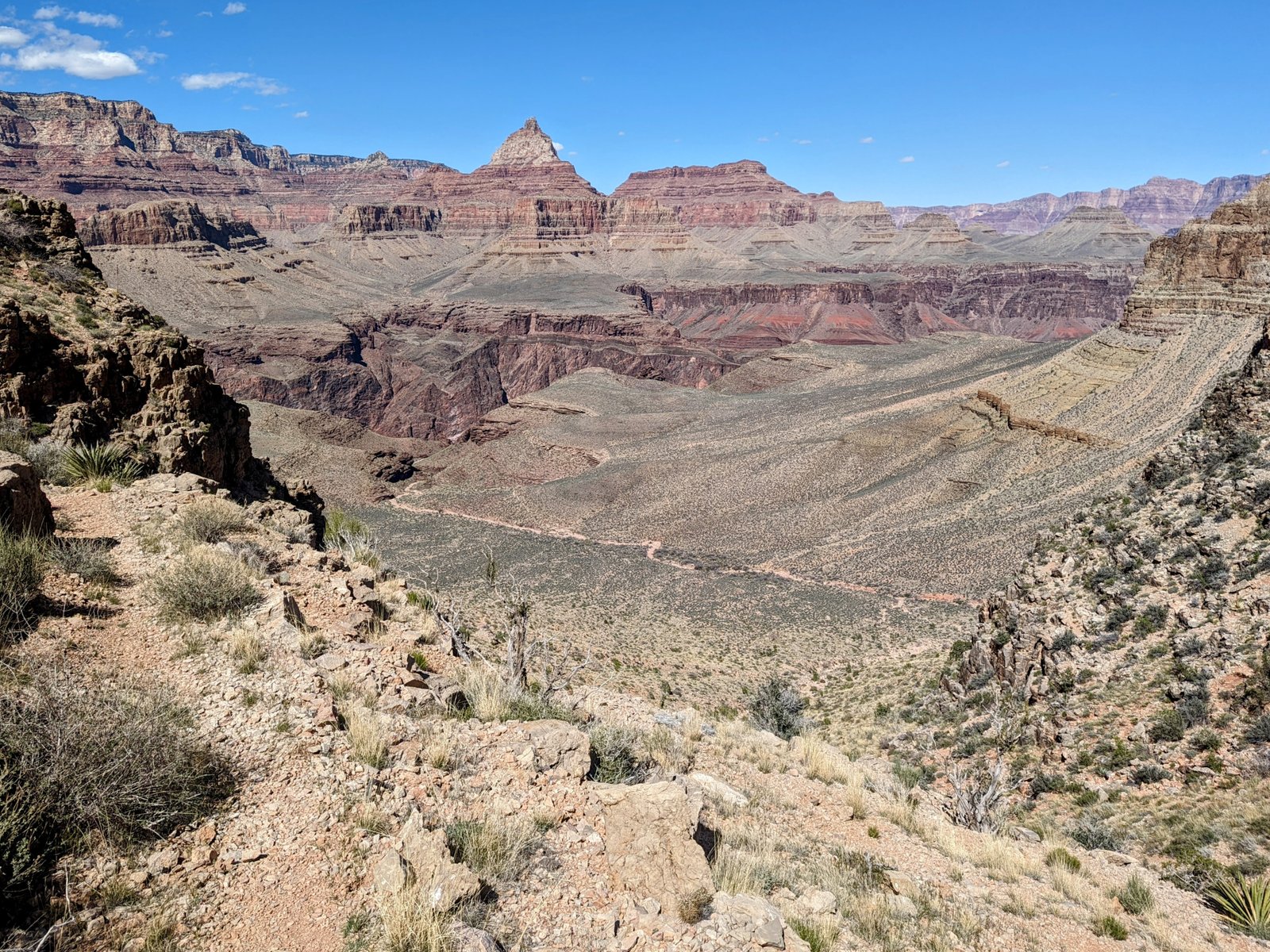
The target this time was to do a large section on the Tonto Trail. This path follows the Colorado River on its south side for 70 miles, keeping to the green flattish Tonto Group layers that sit mostly between 3000 and 4000 feet above sea level, just below the red rocks of the Redwall Limestone and Supai Group layers of the Grand Canyon.
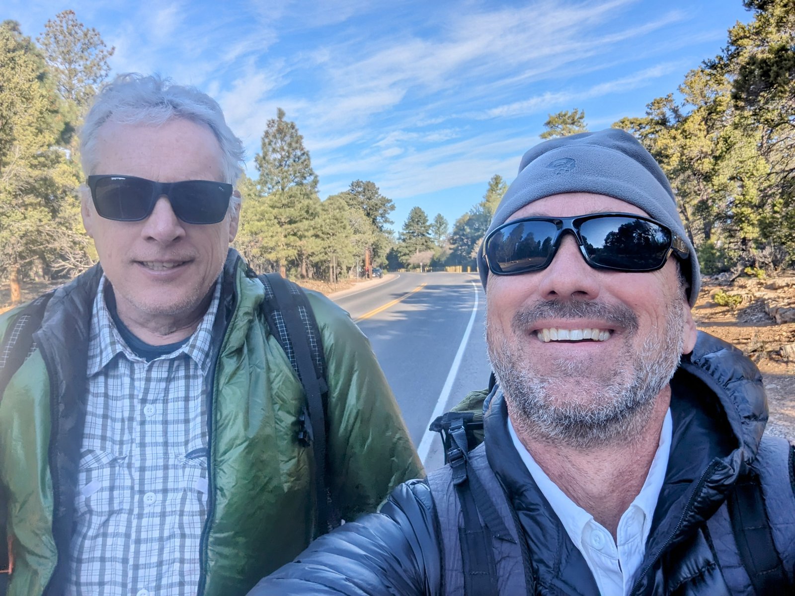
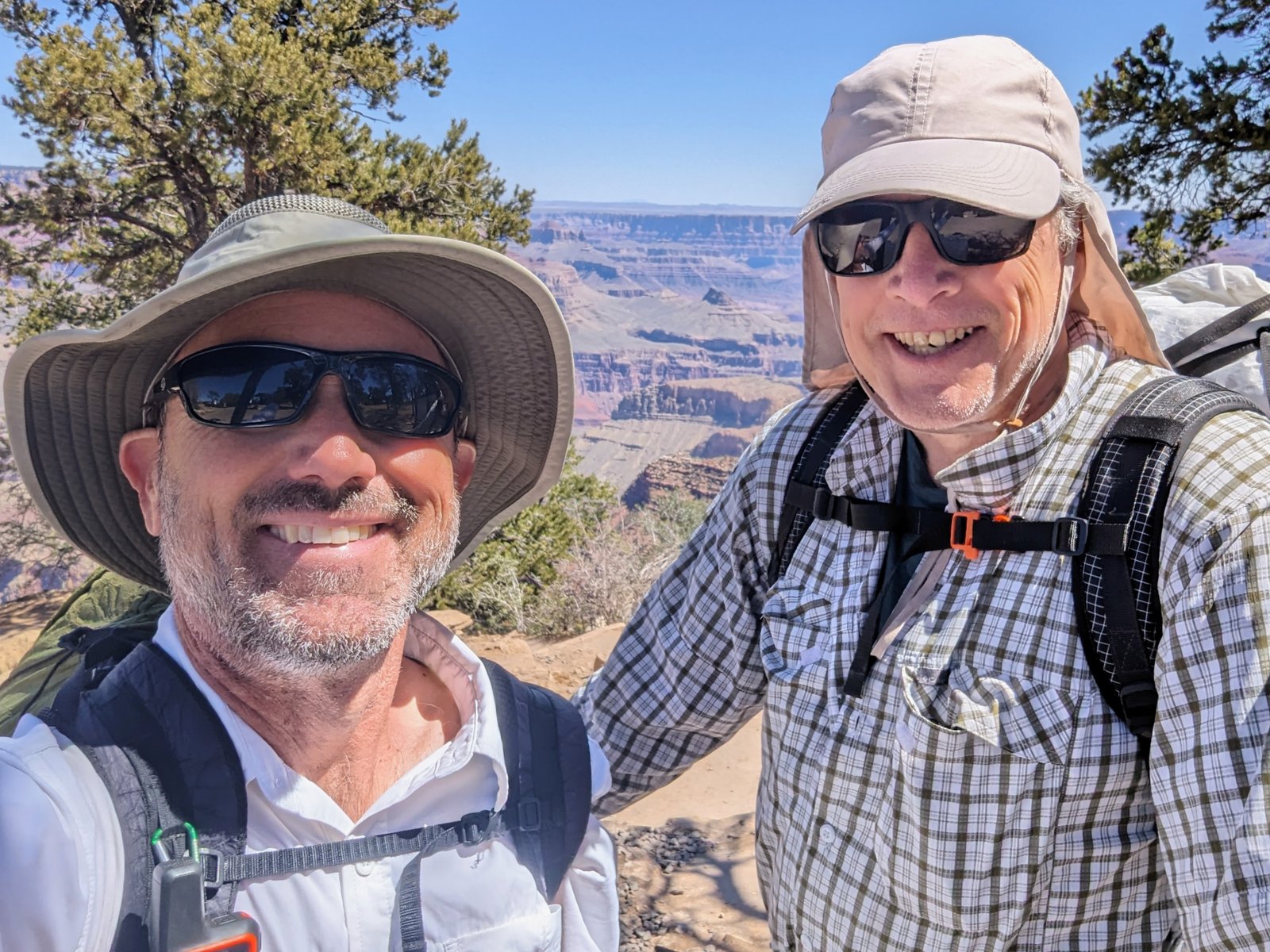
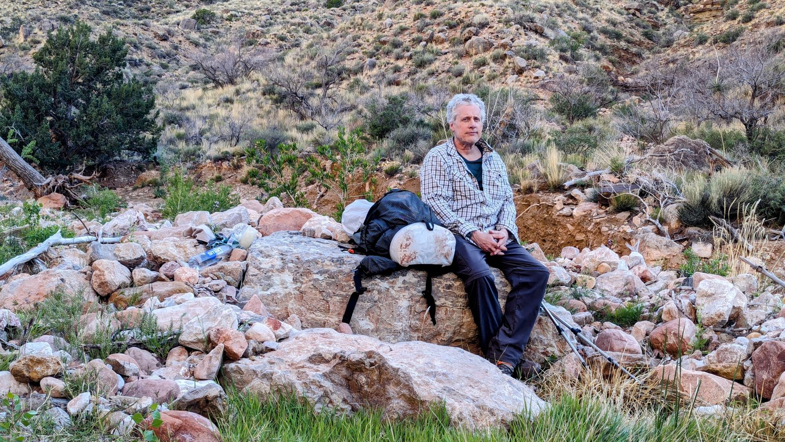
Ultrashuffle agreed to join me for the fun!
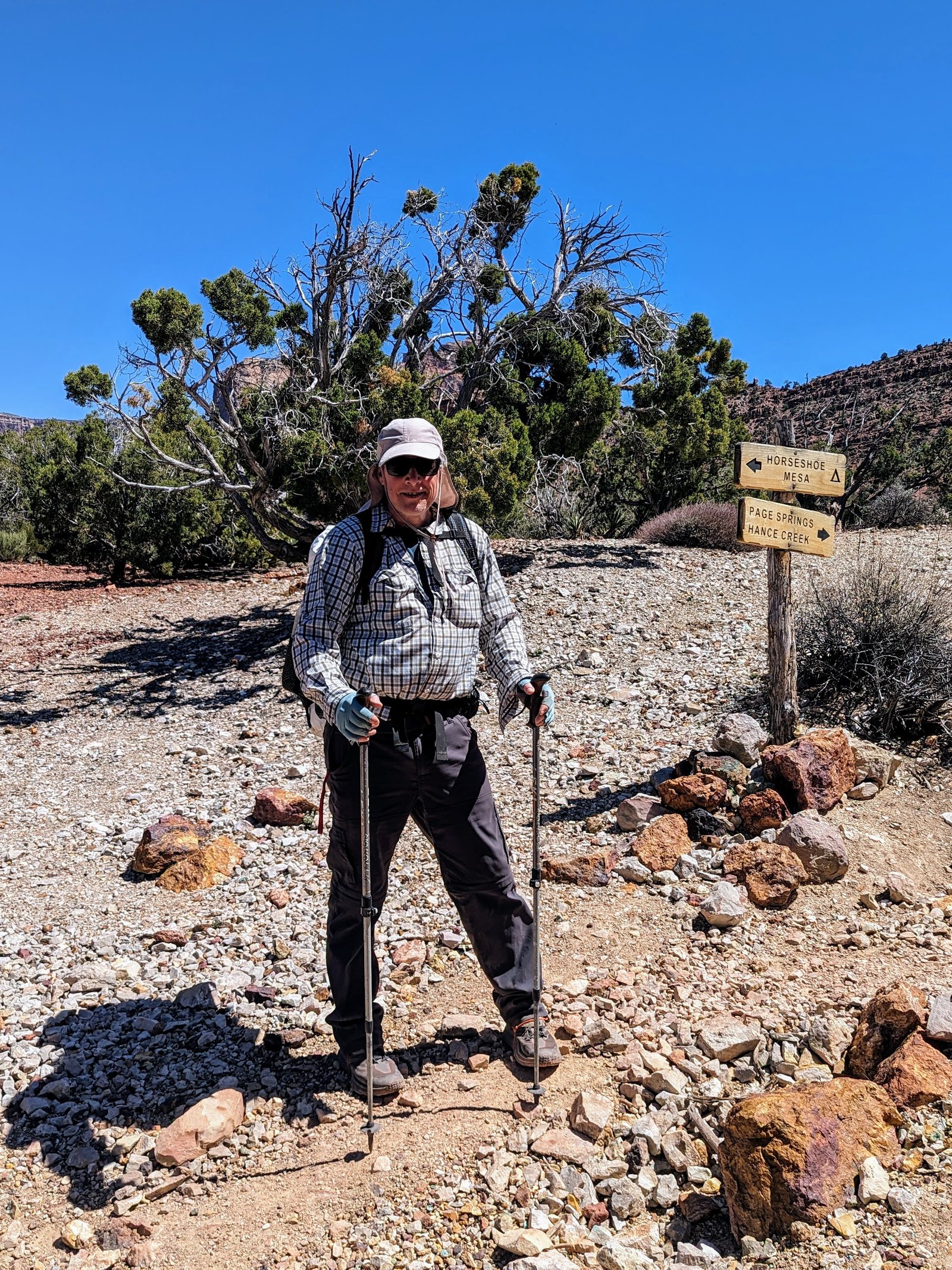
Our first challenge was getting to the trailhead. We decided to approach the Tonto Trail from the Grandview Trail, but there is no shuttle to get there and we had only one car. When I called the Xanterra Taxi service, they said they did not have enough staff to drive out there, but “for legal reasons I can’t advise you, but I have heard people say they hitched a ride.”
Um.
So we decided to walk! Who cares about an extra 9 miles on a 6 day trip anyway?
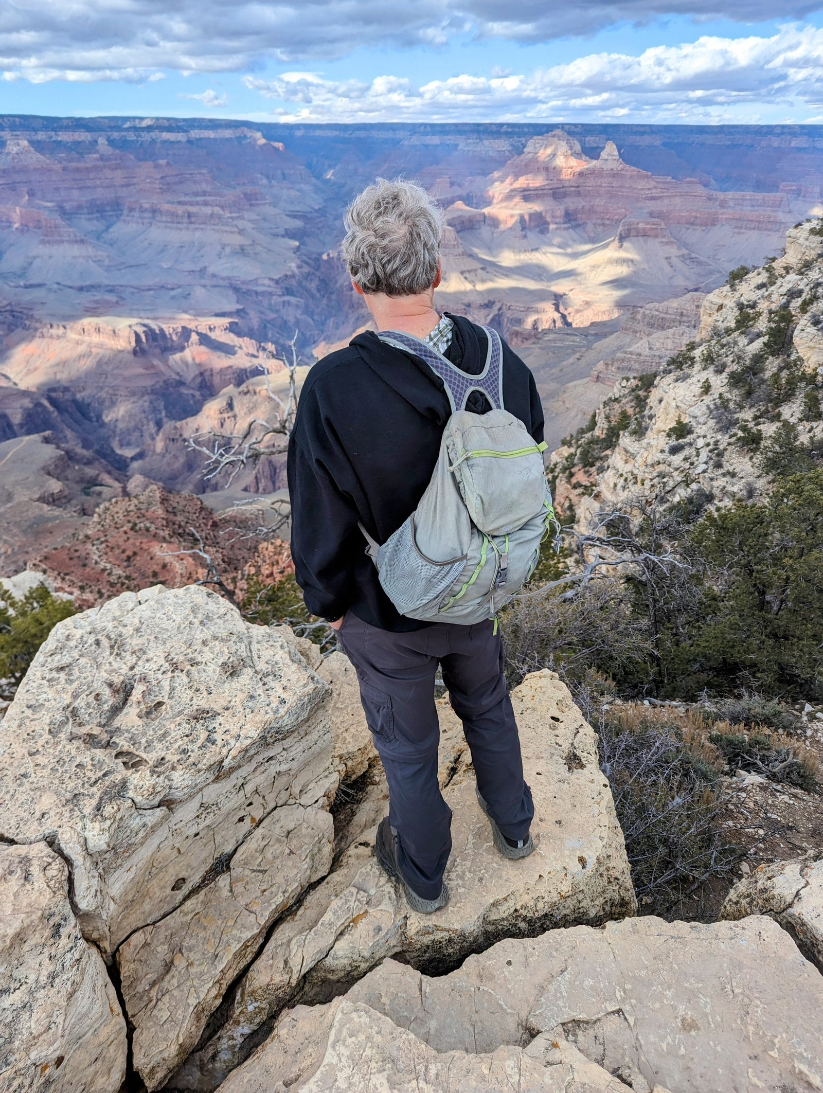
To make things easier on ourself, we stashed some water at the Grandview Point Trailhead. And in the late afternoon light we looked down to see where we would be heading the next day.
The next morning we parked in the backpacker’s parking lot and got the Hiker Express Shuttle to the South Kaibab Trailhead. Except the “express” turned into two buses because the driver was running late.
But that’s okay. It was 28 degrees! We were happy to give the sun a 15 minute headstart.
We walked the road to a Forest Service access road that follows the highway towards points east.
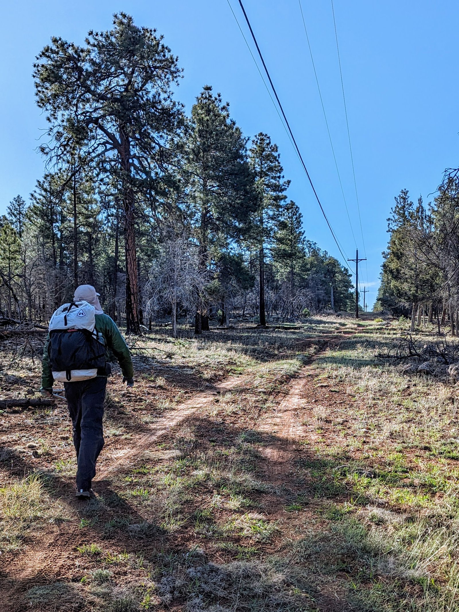
We forked onto another forest road for a bit.
But it led us back to the highway.
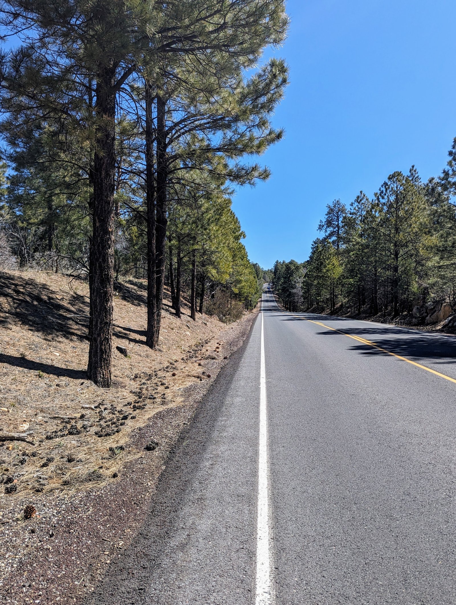
Some cross country back to the main forest road and then some cross country back to the turnoff for Grandview Point brought us to the trailhead. We grabbed our cache of water and were ready to descend.
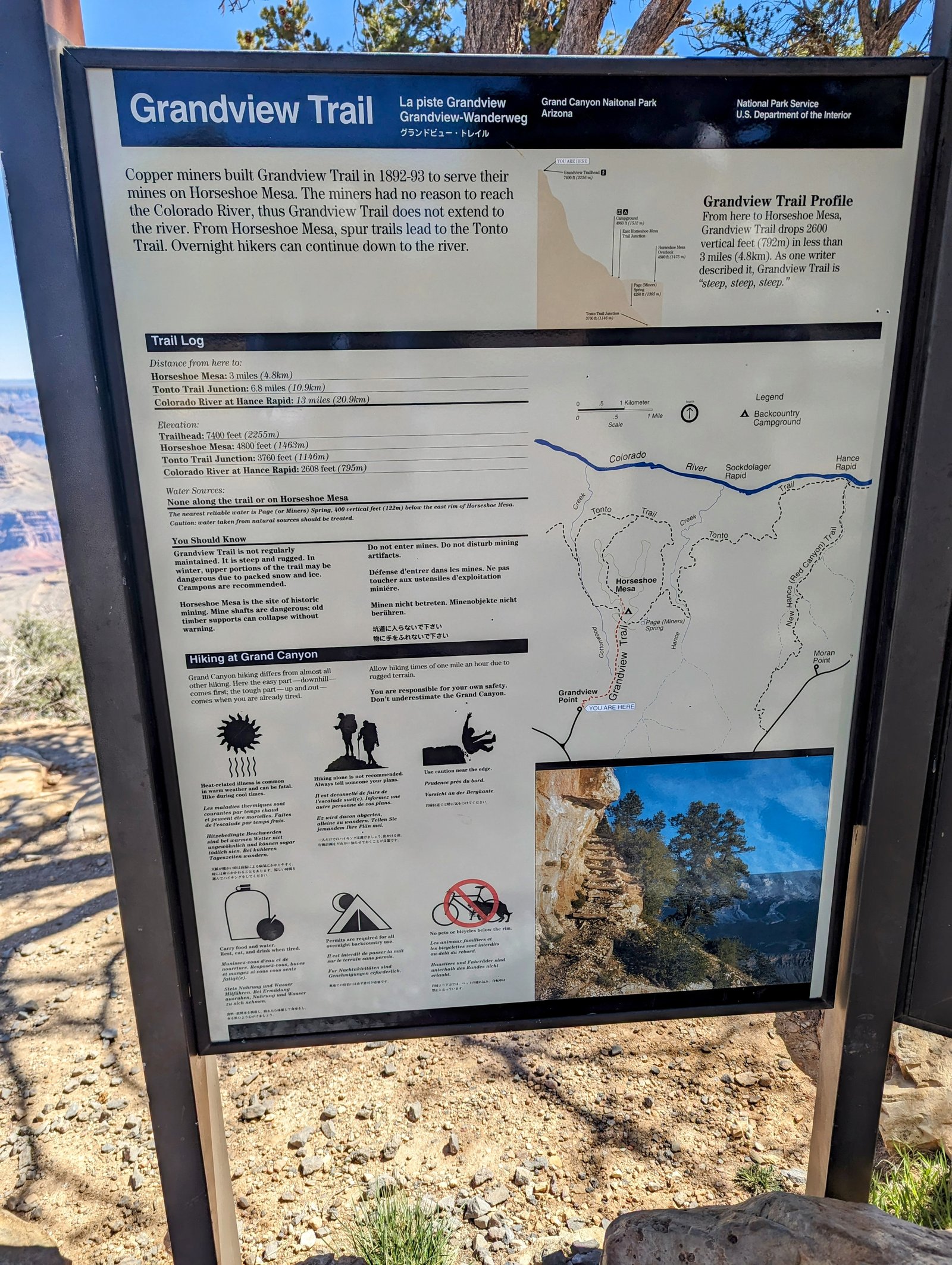
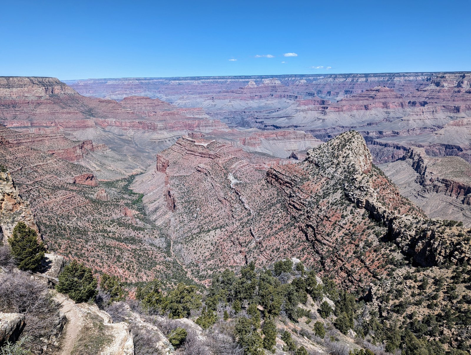
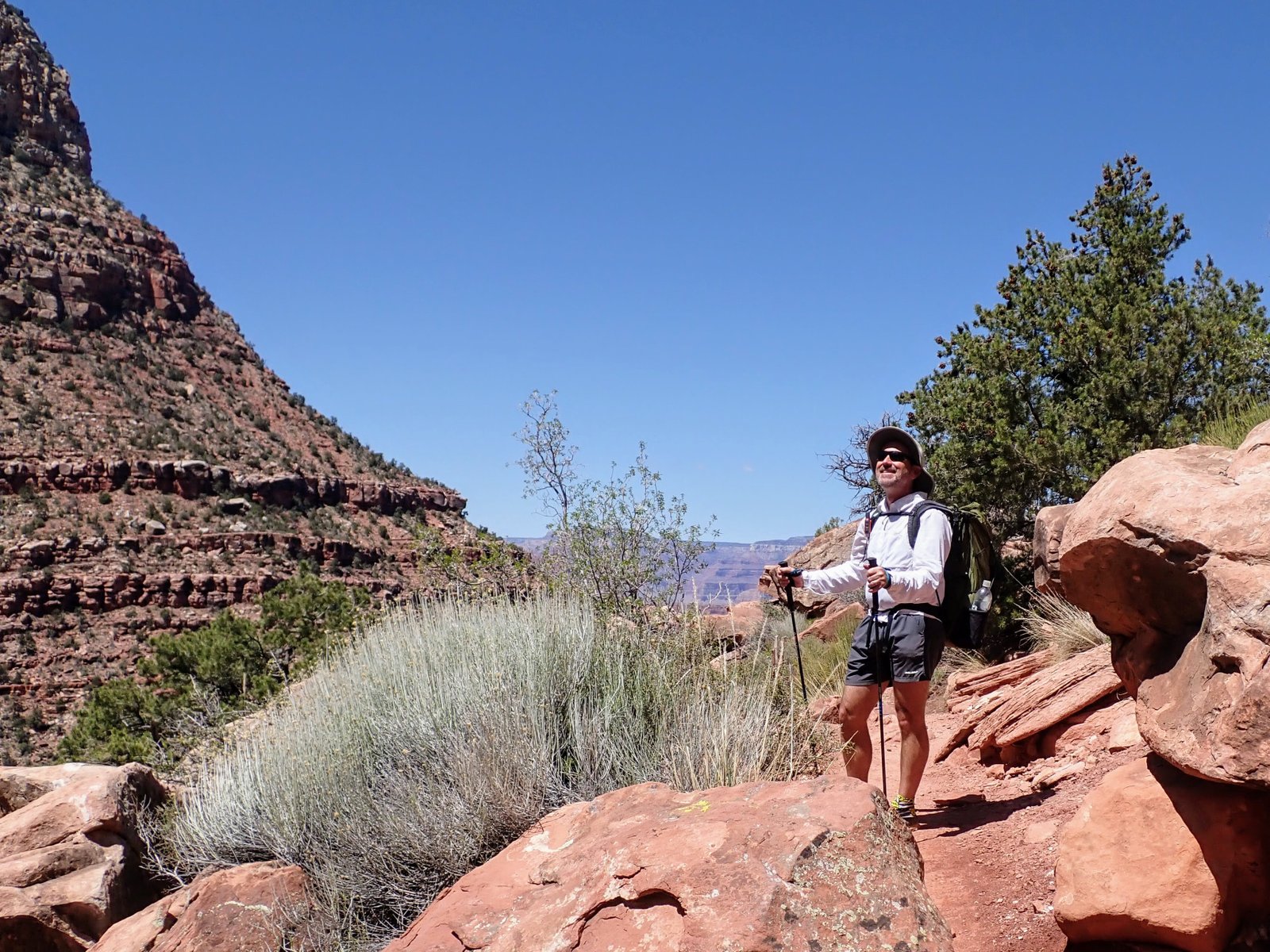
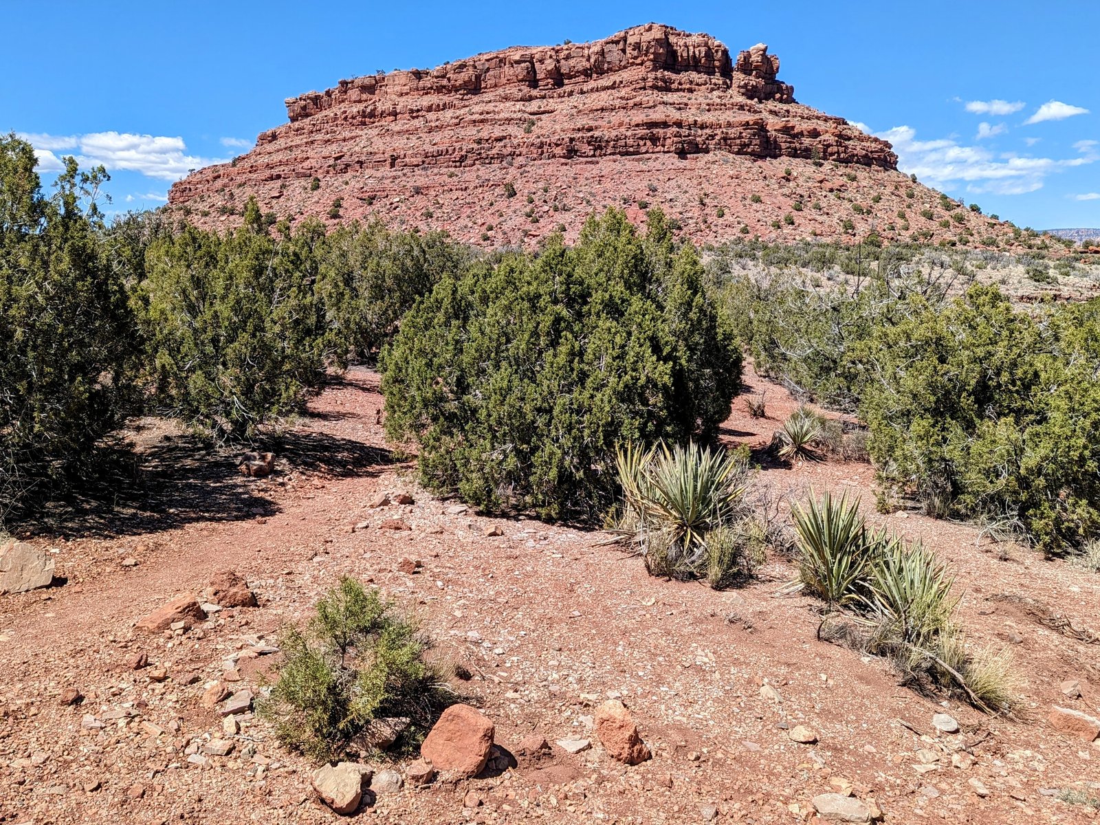
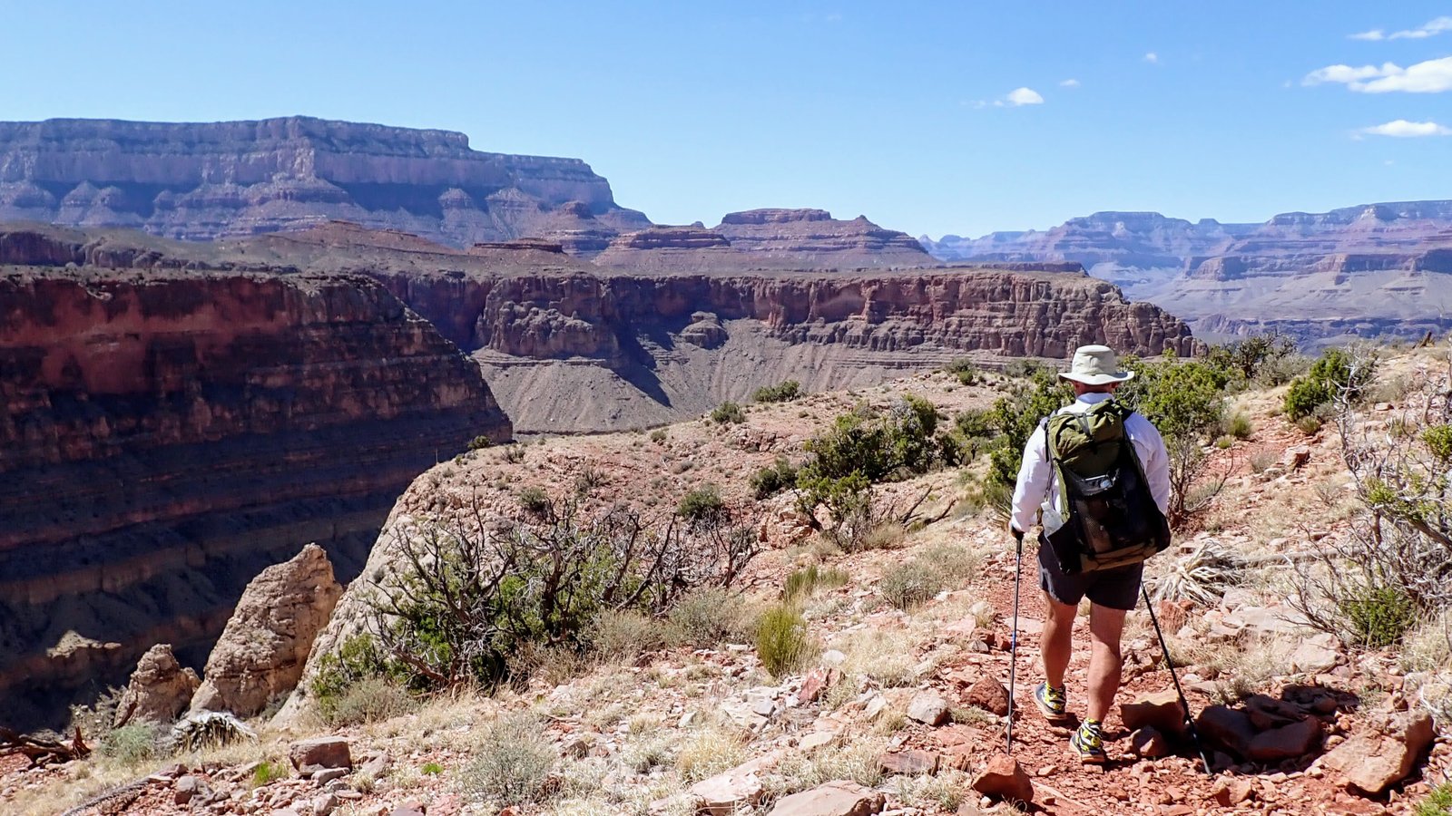
The Grandview Trail is my new favorite way to go down into the canyon.
I’m not sure I will ever again do the main corridor trails (Bright Angel and South Kaibab) which are not only crowded, but also full of mule urine and feces.
Yum!
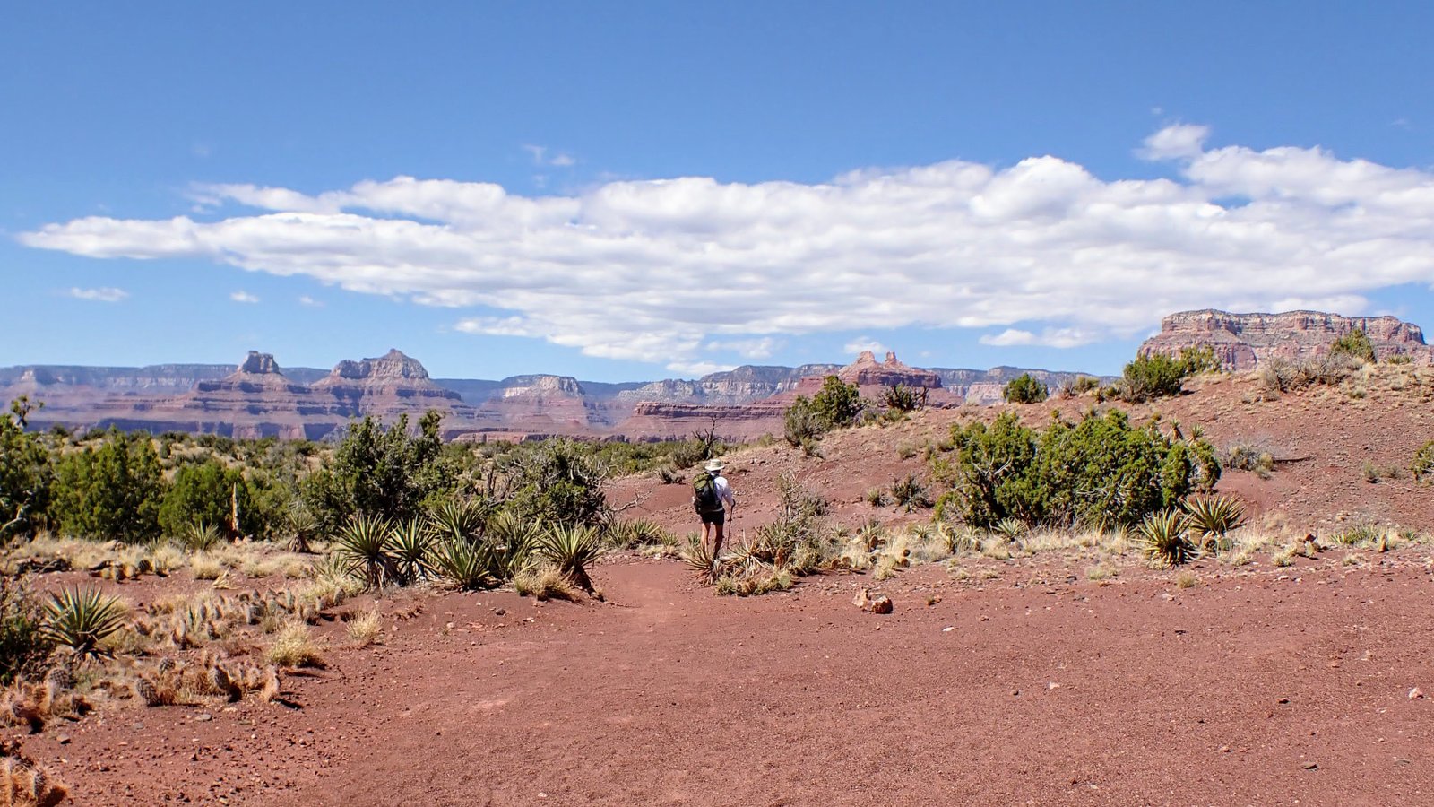
Anyhoo, traffic on Grandview was light and mule-free.
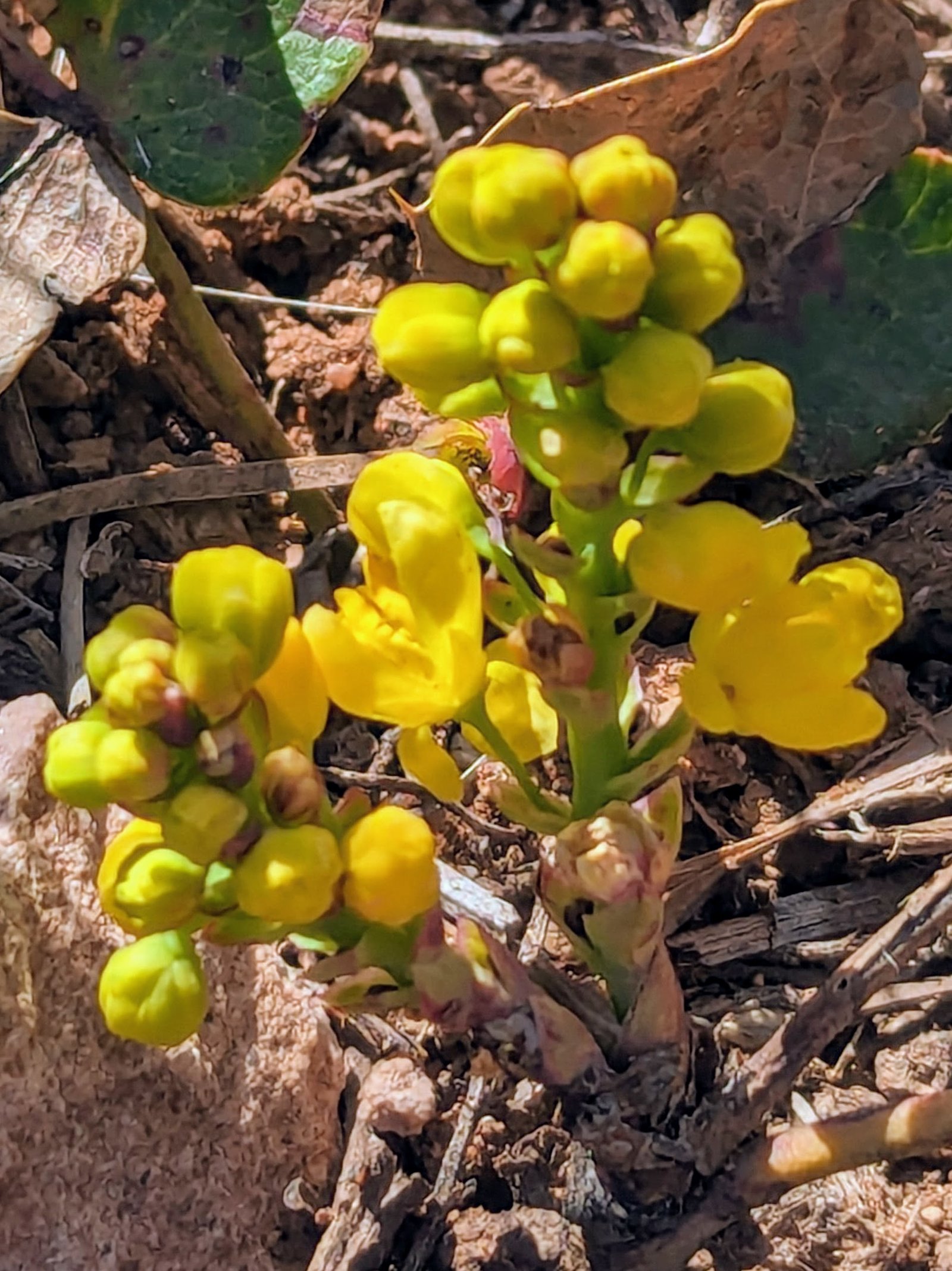
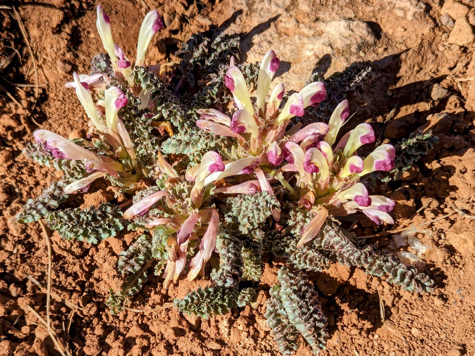
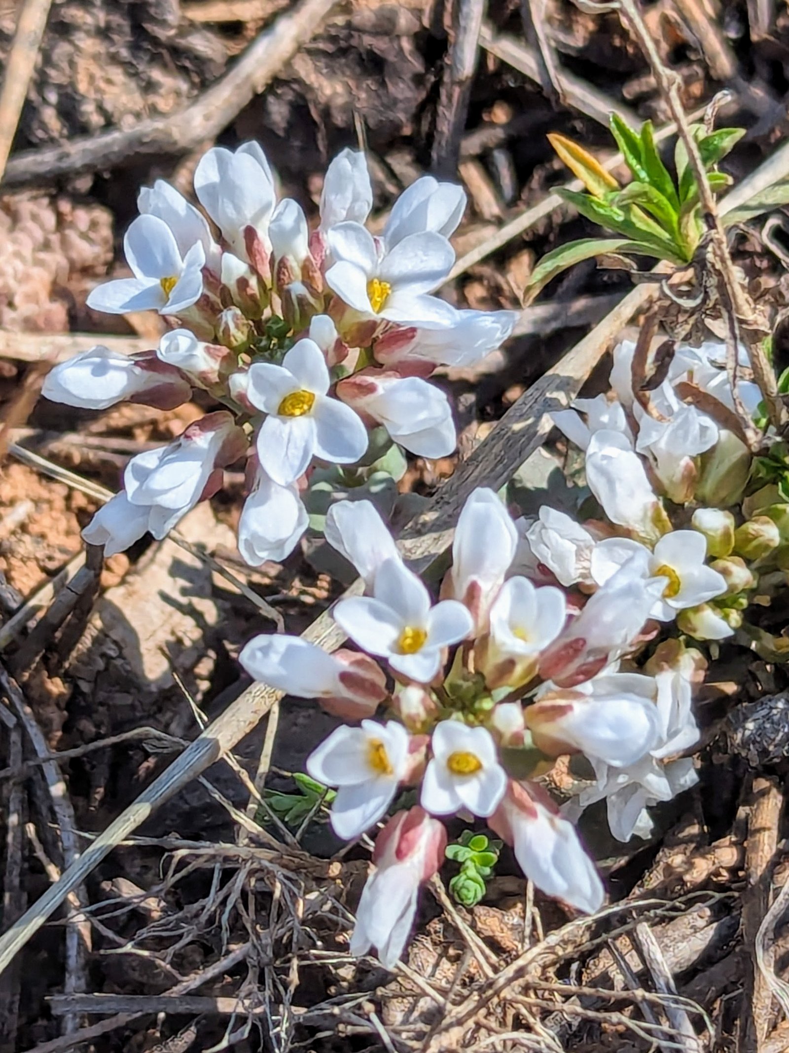
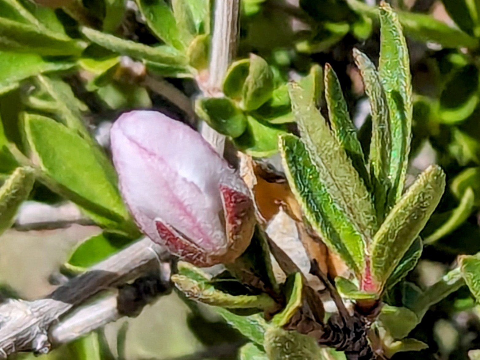
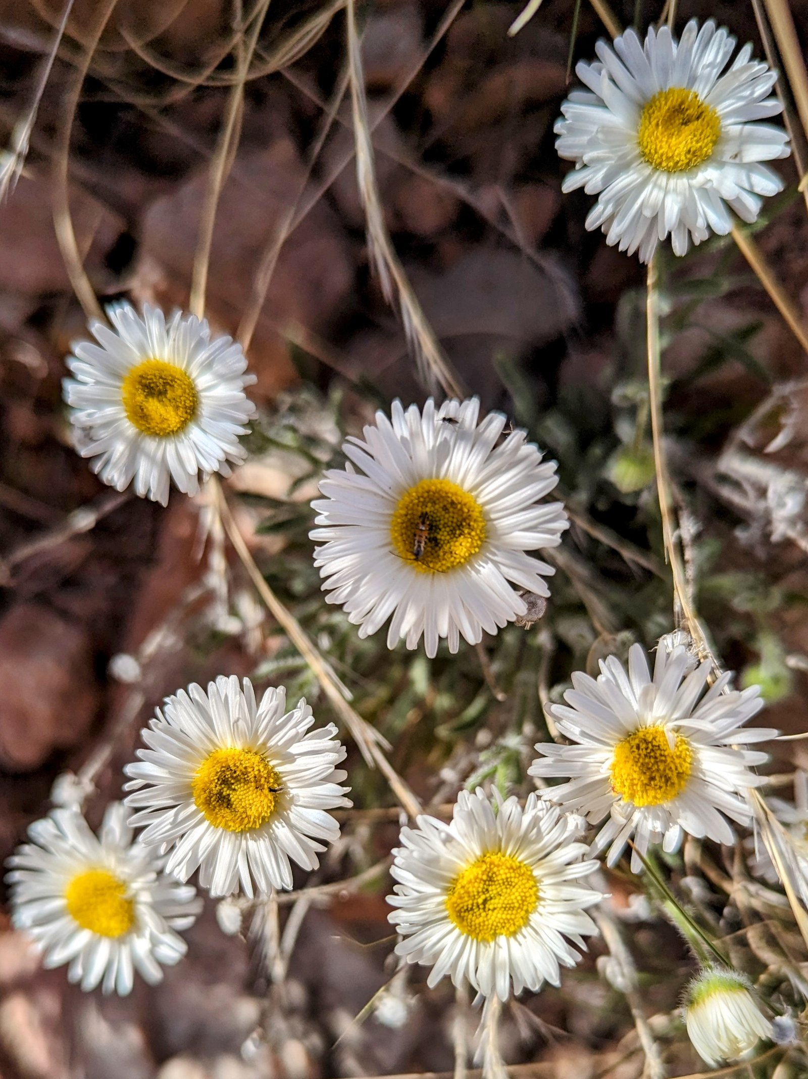
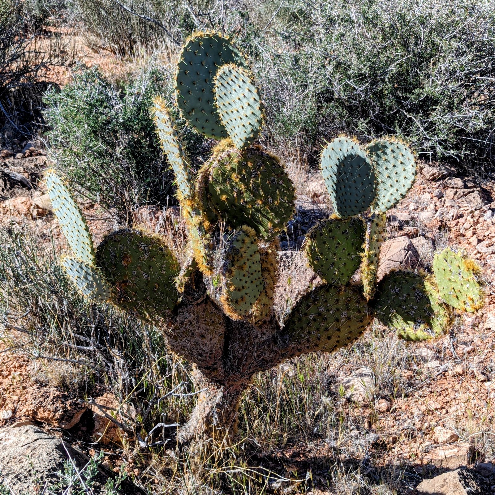
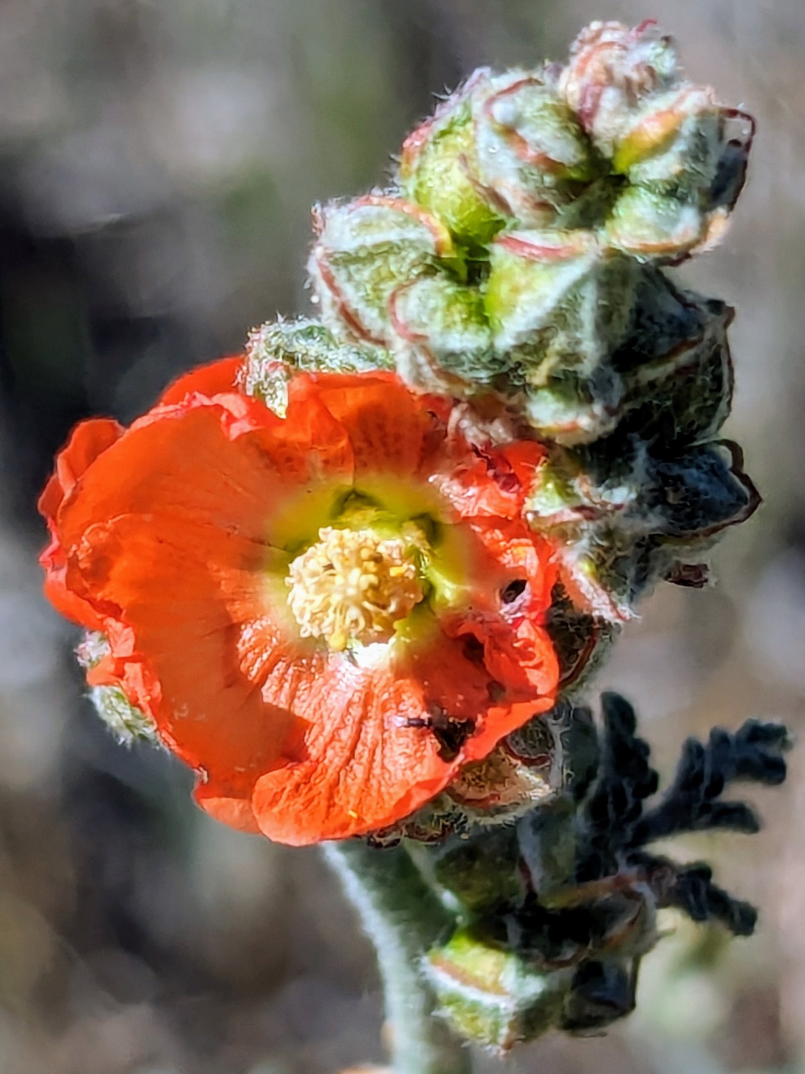
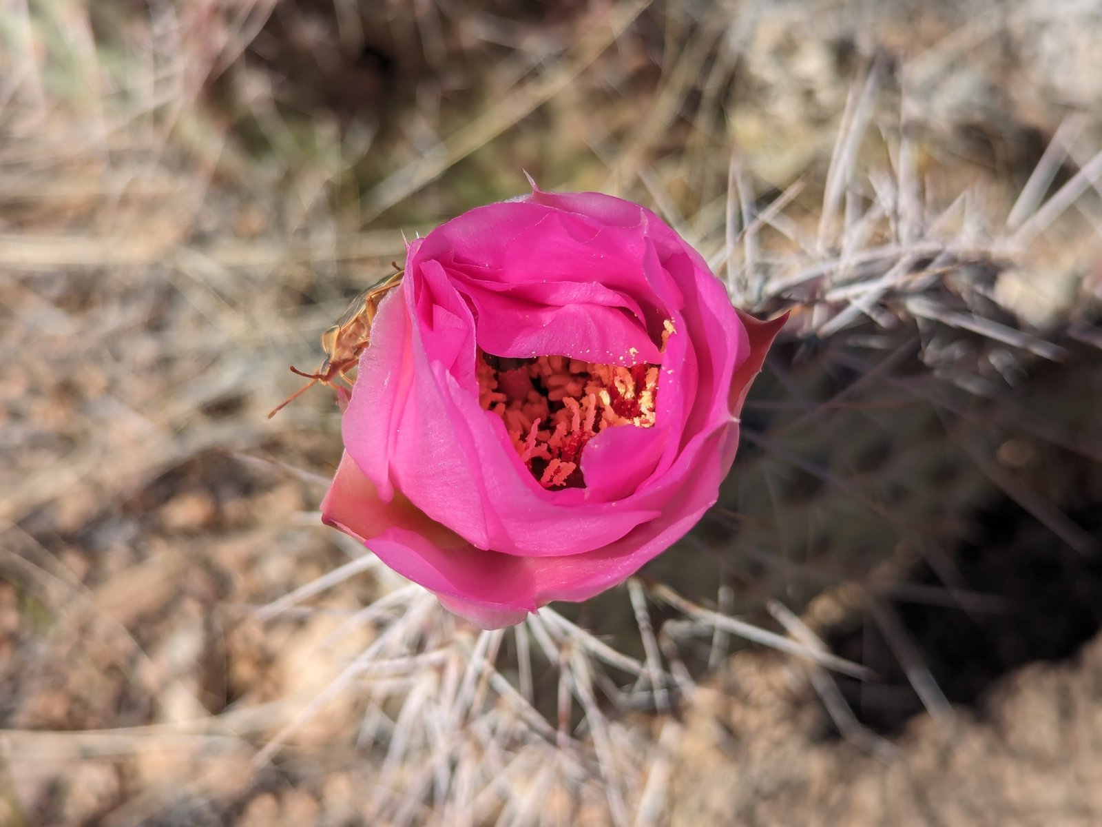
And beautiful!
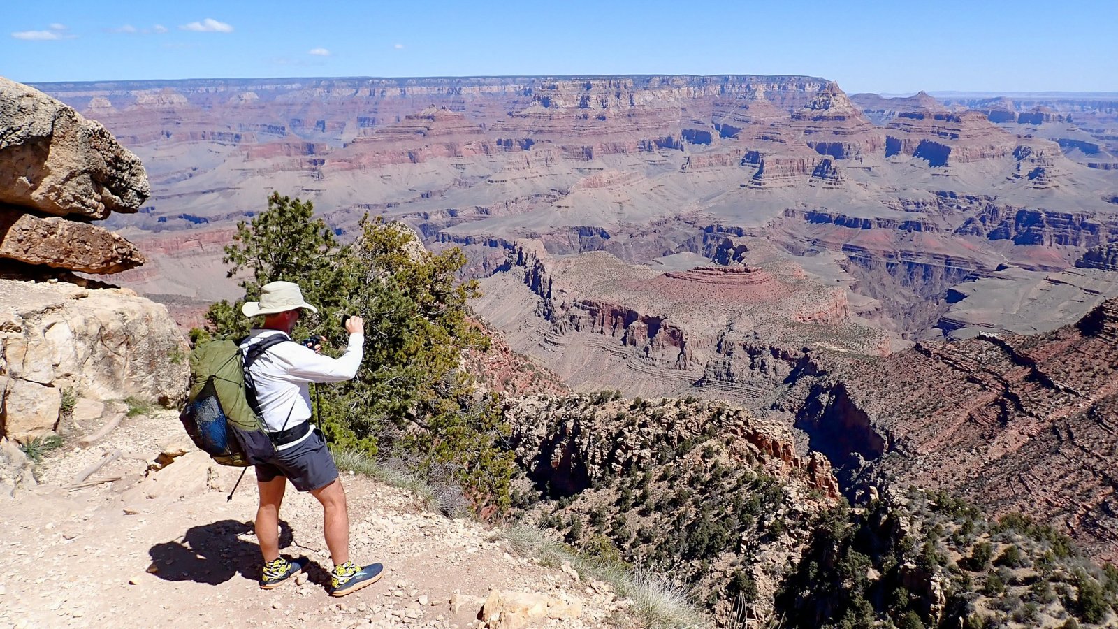
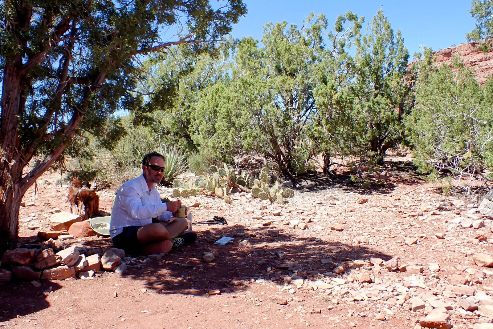
After about 1000 feet of descent we stopped for second breakfast.
We stopped for lunch on the Mesa next to an old stone miner’s cabin.
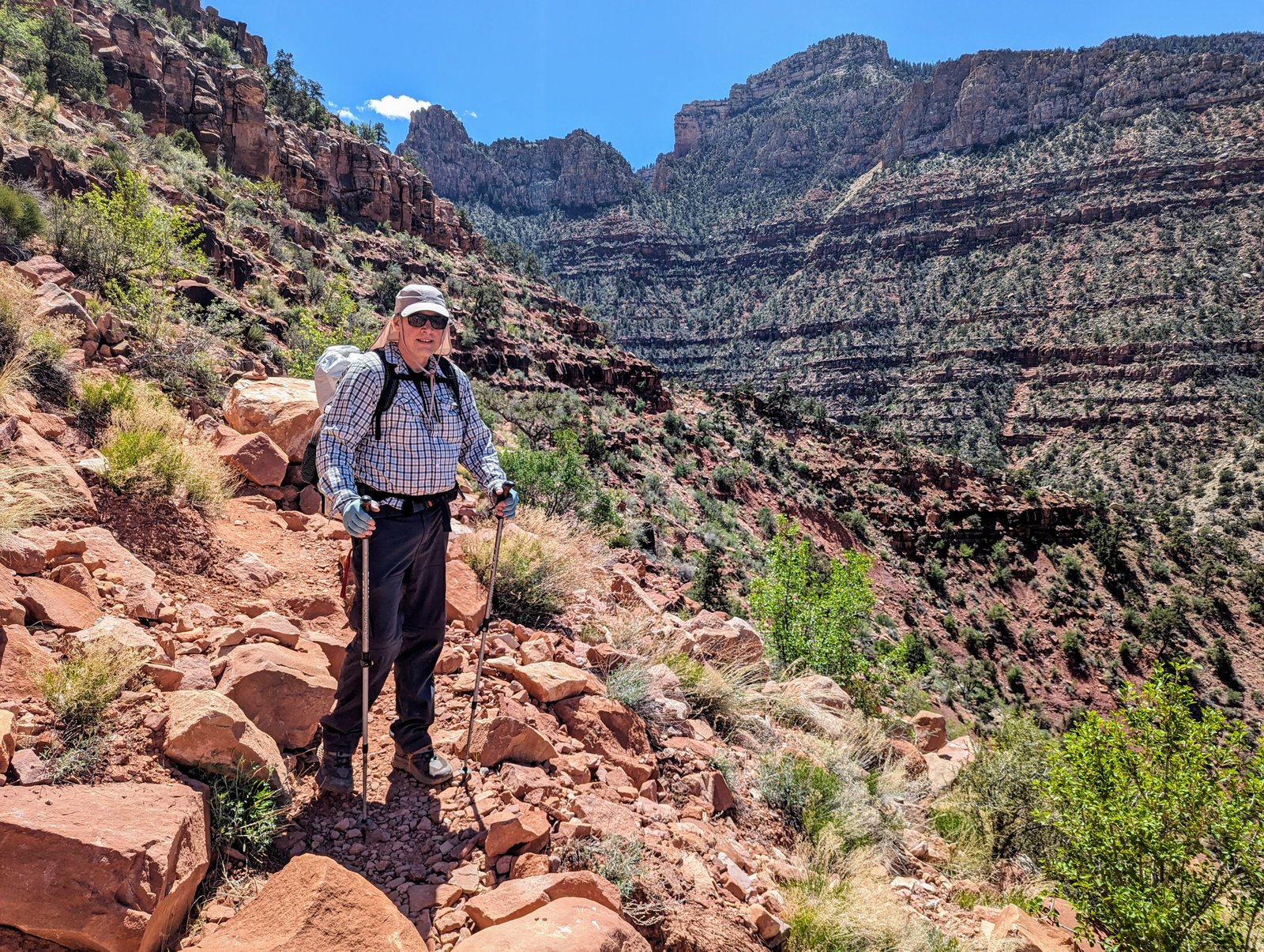
I was a little worried about the next bit. On the map it is called a “route” instead of a trail. But we found good trail all the way down.
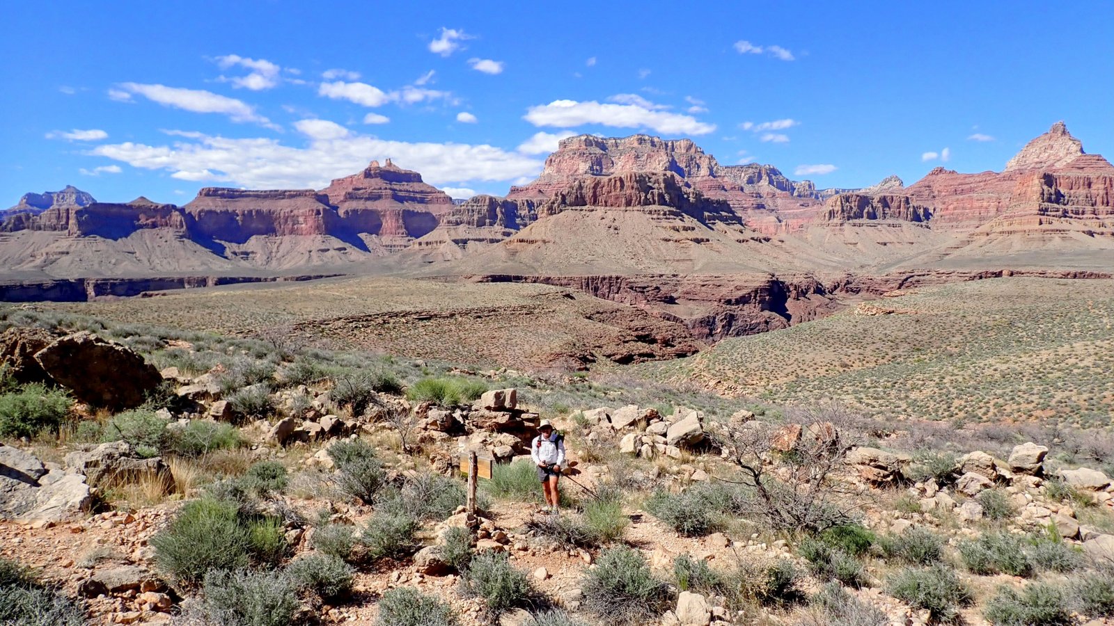
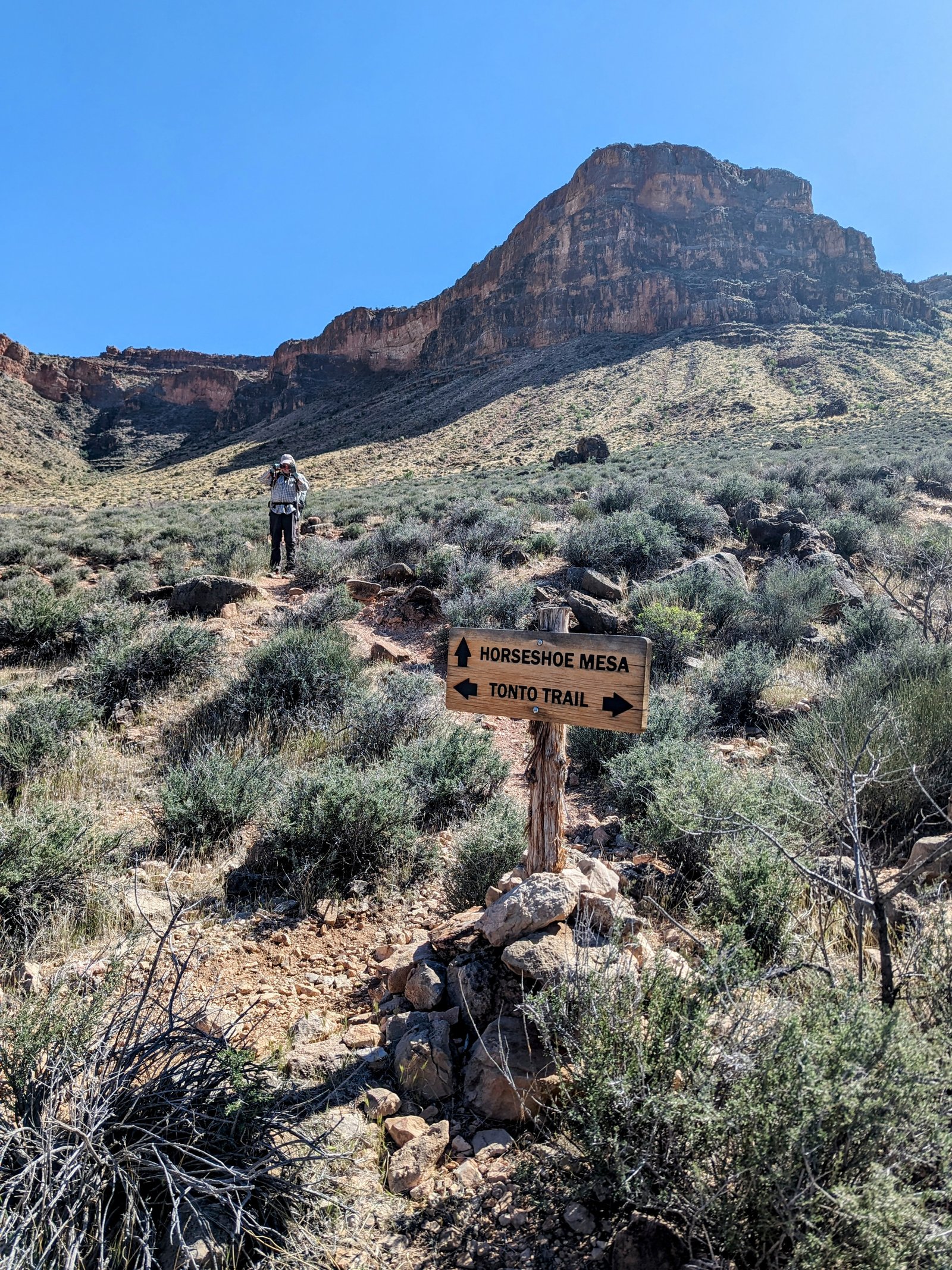
From here we turned west with the goal of seeing as much of the Tonto Trail as possible over the next five days.
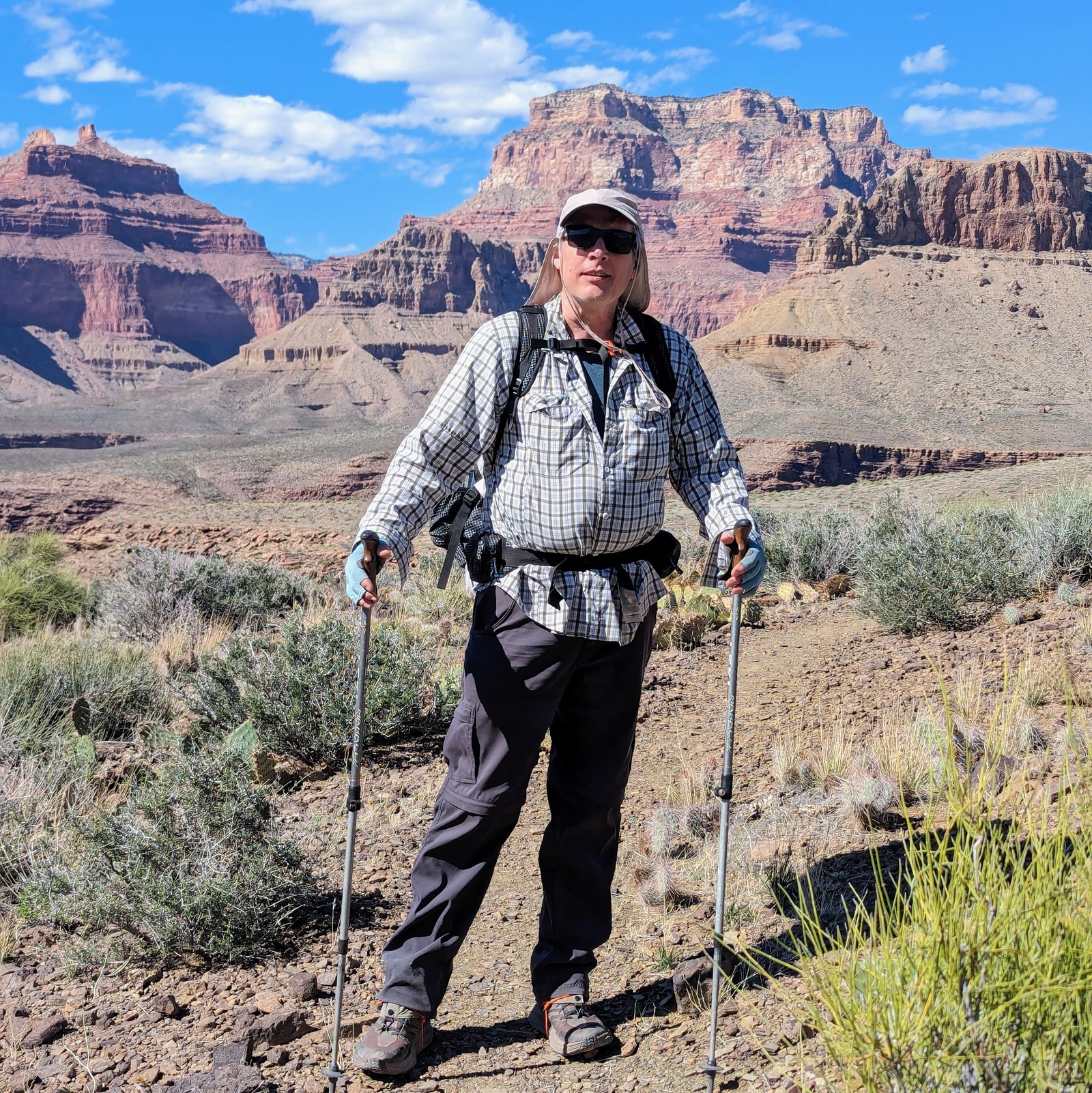
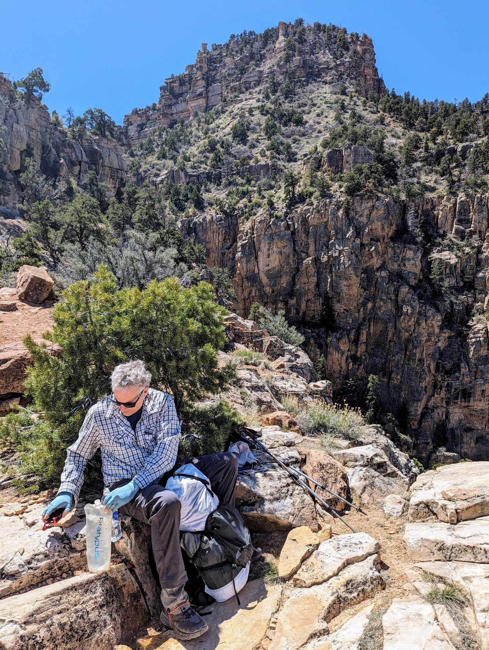
By the time we arrived at Cottonwood Creek it was in the 80s and we were low on water. It was a perfect place to fill up and rest in the shade before our final push.
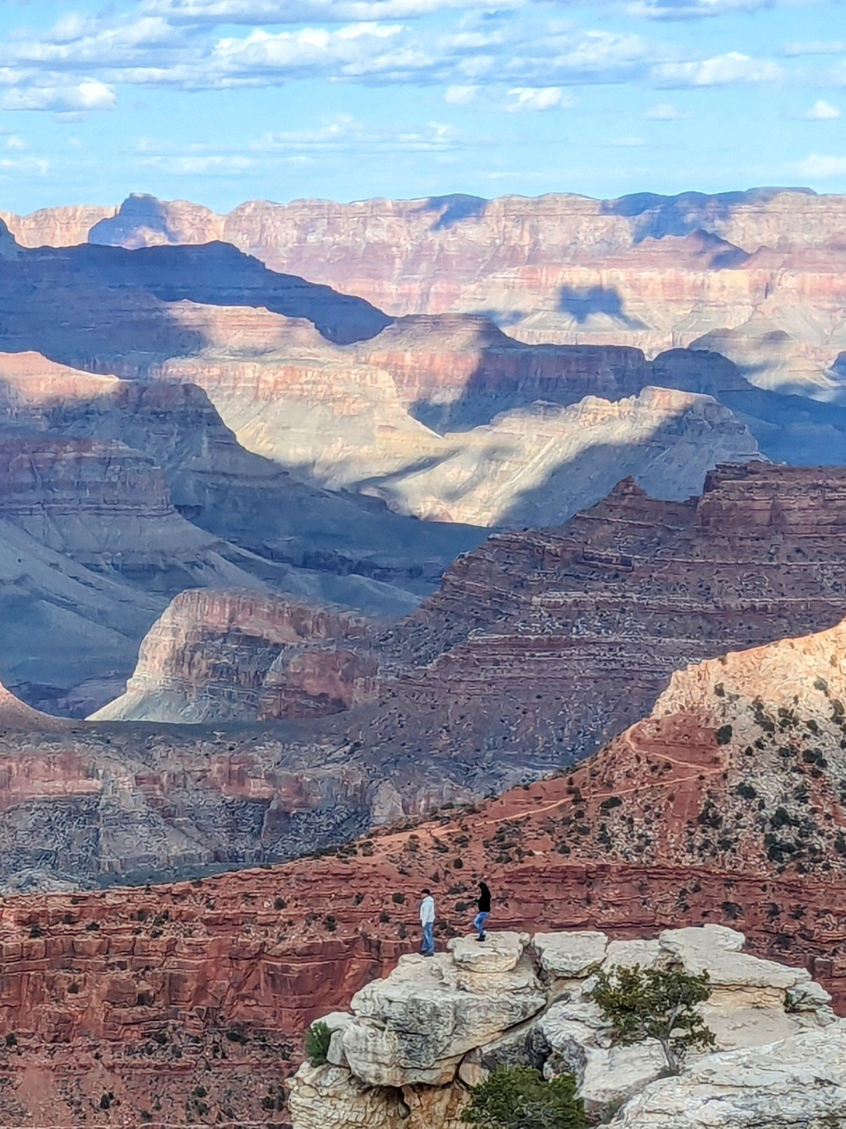
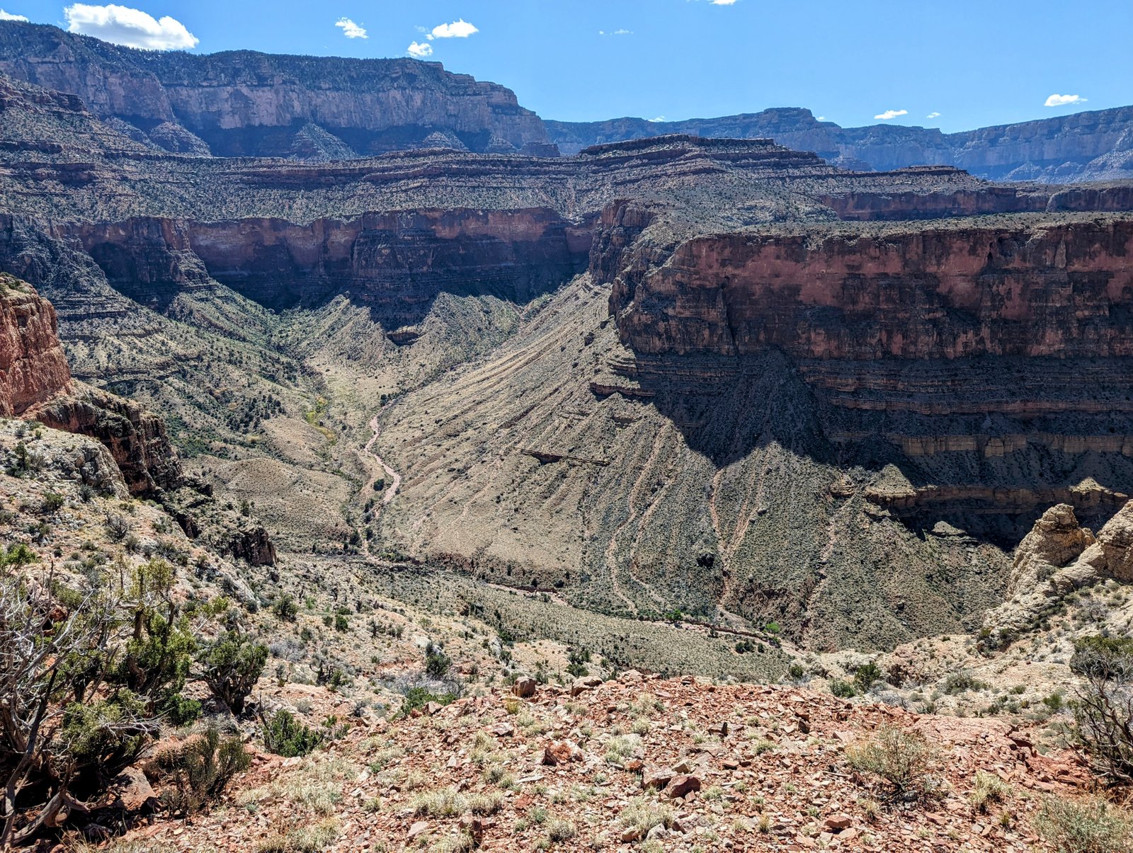
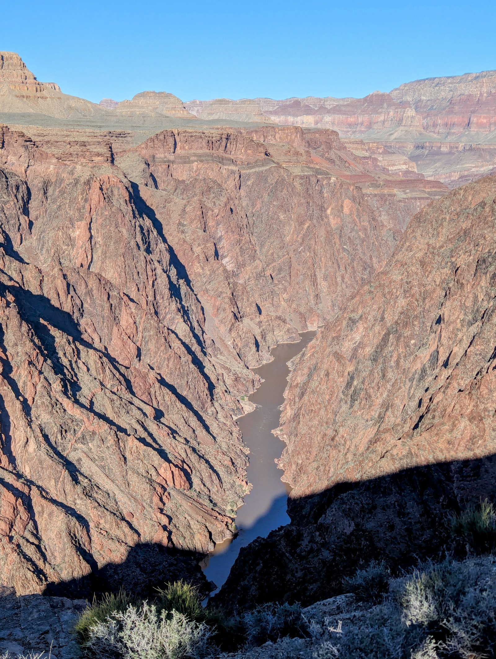
In the last two hours we followed the Tonto Trail in and out of several smaller drainages until we came right to the edge of the Tonto layer. The trail followed within a few feet of a sheer drop-off to the Colorado.
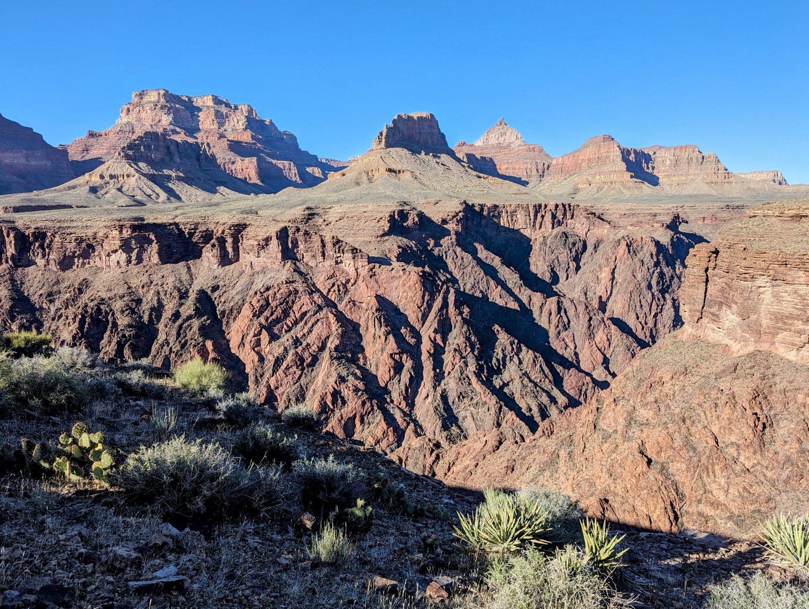
We found a very large cairn that we investigated. It seemed to mark some kind of trail on the ridge between the Cottonwood and Grapevine drainages. I later learned that this is the Old Grandview Trail, which leads all the way down to the river.
But we were tired. An 800 foot scramble was not in the cards this time!
As the sun started to set we finally arrived in the zone we were permitted to camp for the night and found two flattish spots on either side of the trail. The views were spectacular, both before and after dark!
