14 May 2024
Cannell Meadow Trail to Deadwood Trail to Woodpecker Trail
(23 miles, +7,400/-2,800 feet).
Wow!
I knew there would be a lot of climbing today. I wasn’t sure I would survive 7,000 feet.
But I did!
I should start by saying that this is day one of a crazy adventure. It’s still pretty snowy at alpine but I have been dying to do an early season backpack in the Sierra, especially since the big snow of 2023 threw so many plans out of whack last year.
So I hatched a plan to hike from Kernville to Lone Pine through Sequoia National Forest, the Dome Land Wilderness, the South Sierra Wilderness, and the Golden Trout Wilderness.
This plan also involved the sole use of public transportation. My wife and I only have one car, and she uses it for work. I did not rent another car for this trip. Instead I took the Flixbus to Bakersfield and then Kern Transit to Kernville.
Alas, one downside to the plan is that the first bus was late, so I missed my connection. I had to get a later bus and stay overnight in Kernville. But that probably worked to my advantage because it allowed me to start a big, hot climb first thing in the morning.
![pxl_20240514_1156232012](https://jimmyjamhikingclub.com/wp-content/uploads/2024/05/pxl_20240514_1156232012.jpg)
It was a road walk of about 2 miles to the trailhead for Cannell Meadow. Elevation 2,800 feet.
![pxl_20240514_120822461.night2_](https://jimmyjamhikingclub.com/wp-content/uploads/2024/05/pxl_20240514_120822461.night2_.jpg)
And then I was on a very-well-defined OHV trail.
![pxl_20240514_1227106502](https://jimmyjamhikingclub.com/wp-content/uploads/2024/05/pxl_20240514_1227106502.jpg)
![pxl_20240514_1227035092](https://jimmyjamhikingclub.com/wp-content/uploads/2024/05/pxl_20240514_1227035092.jpg)
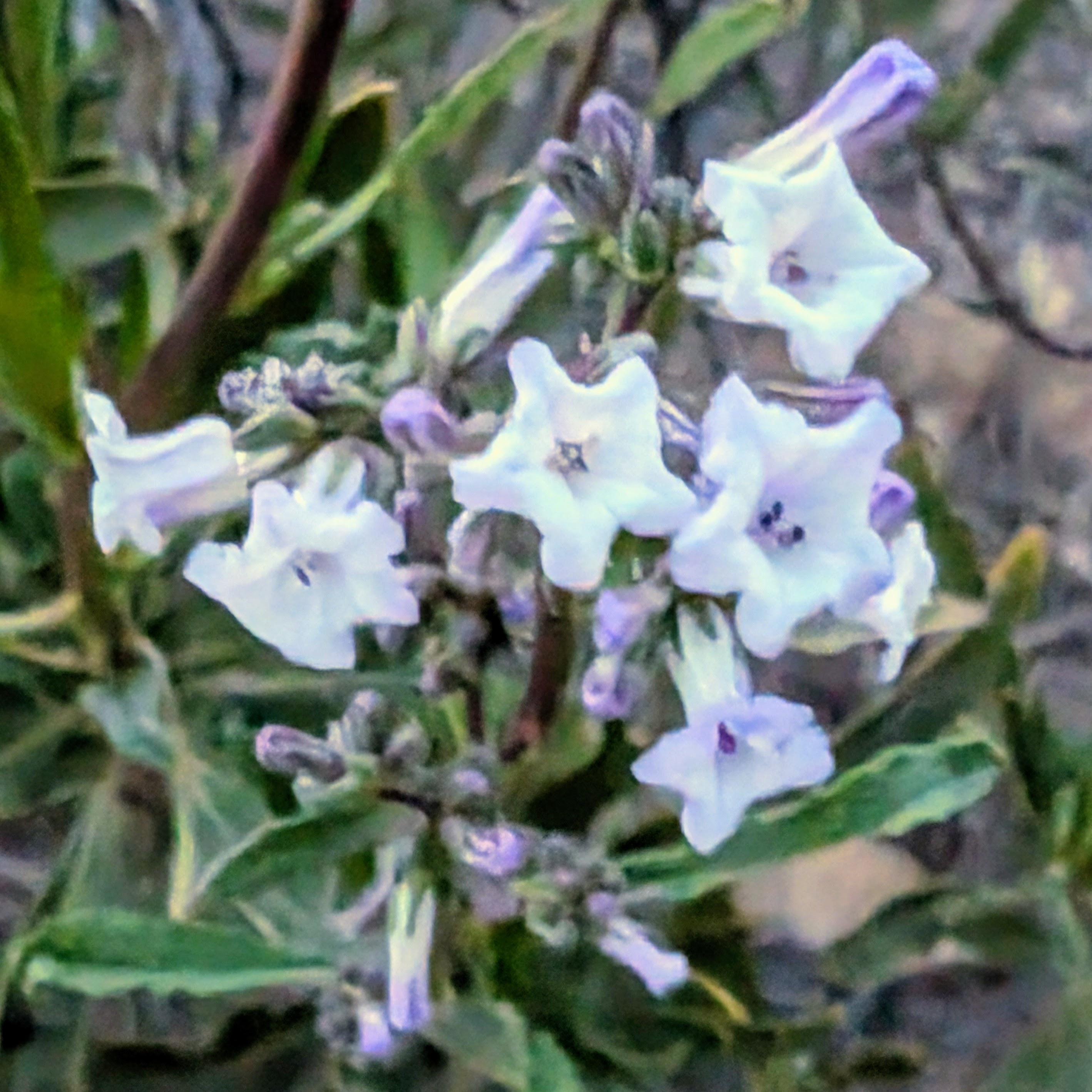
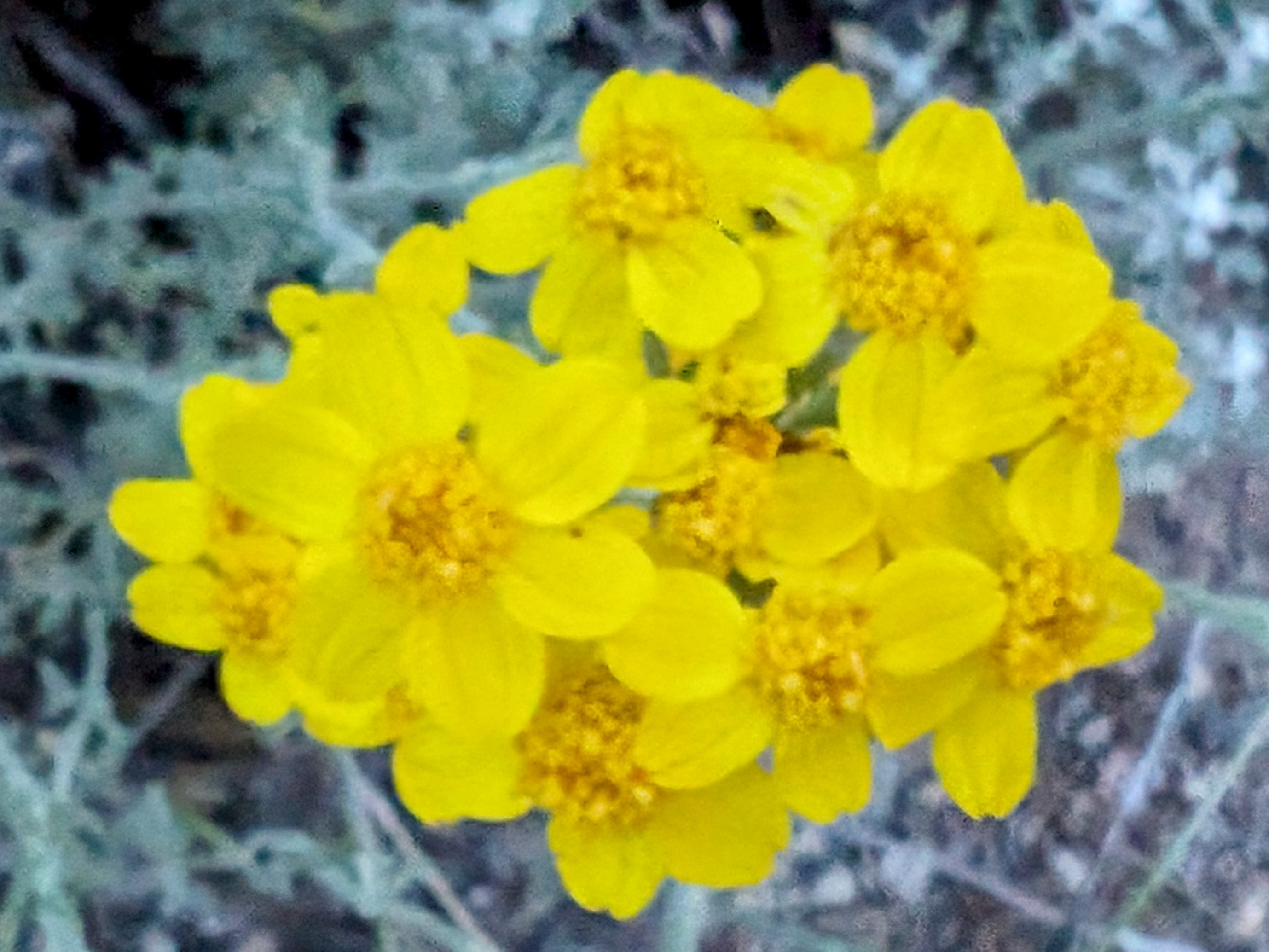
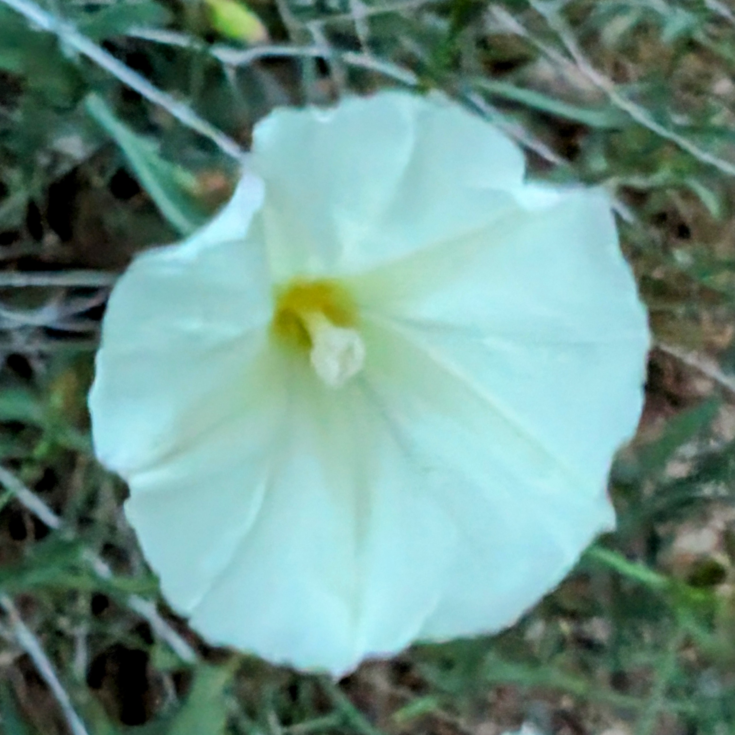
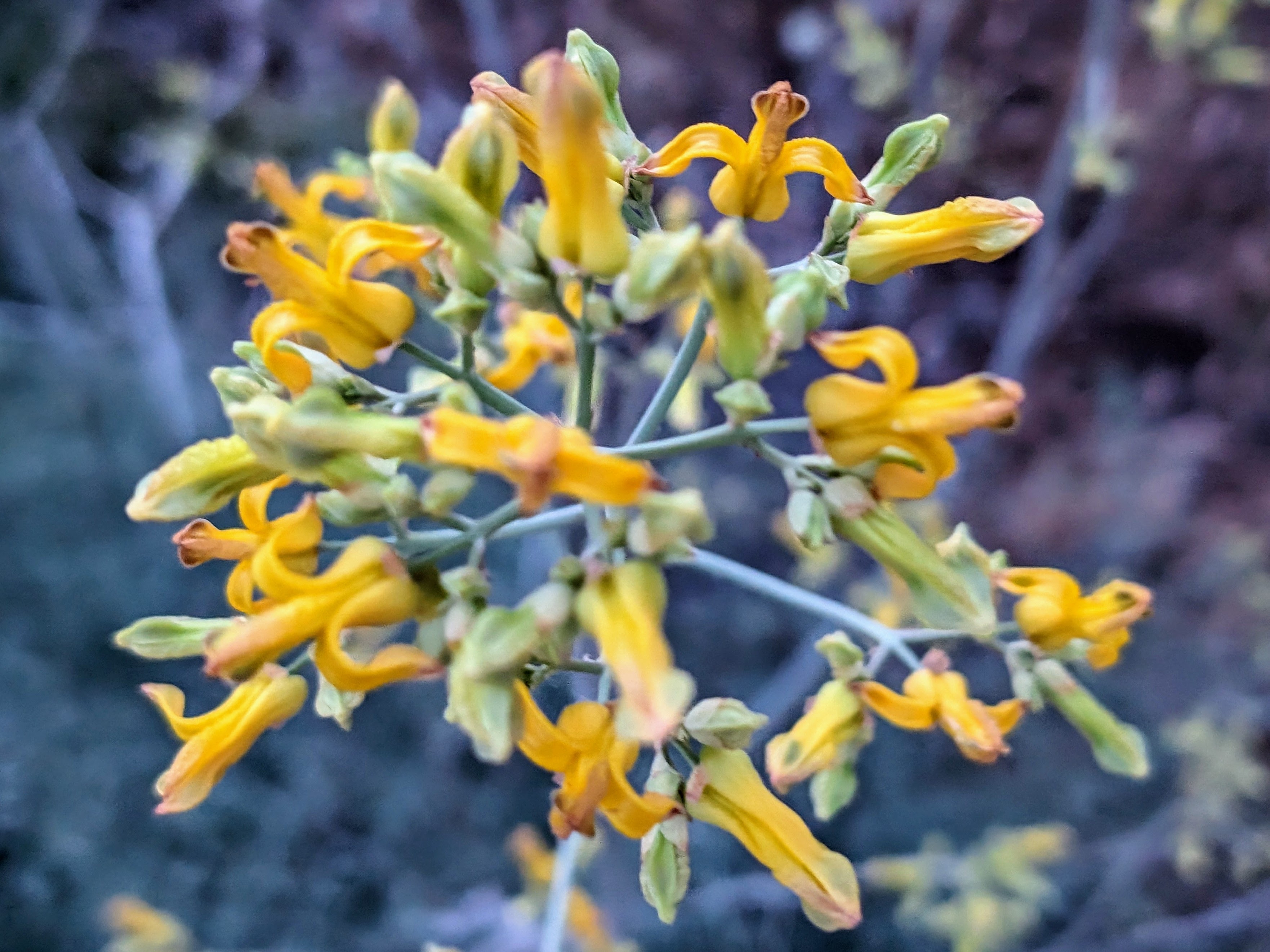
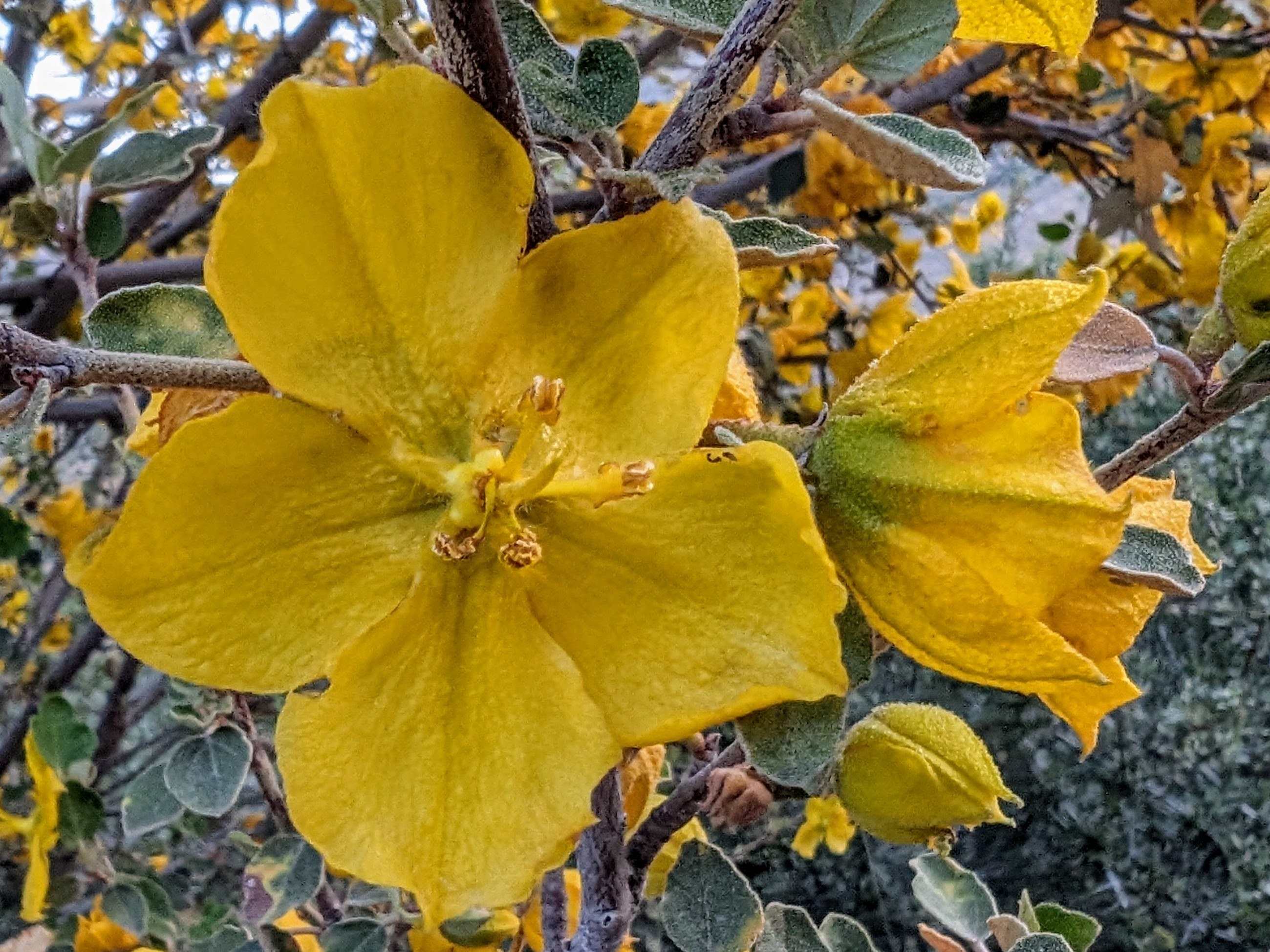
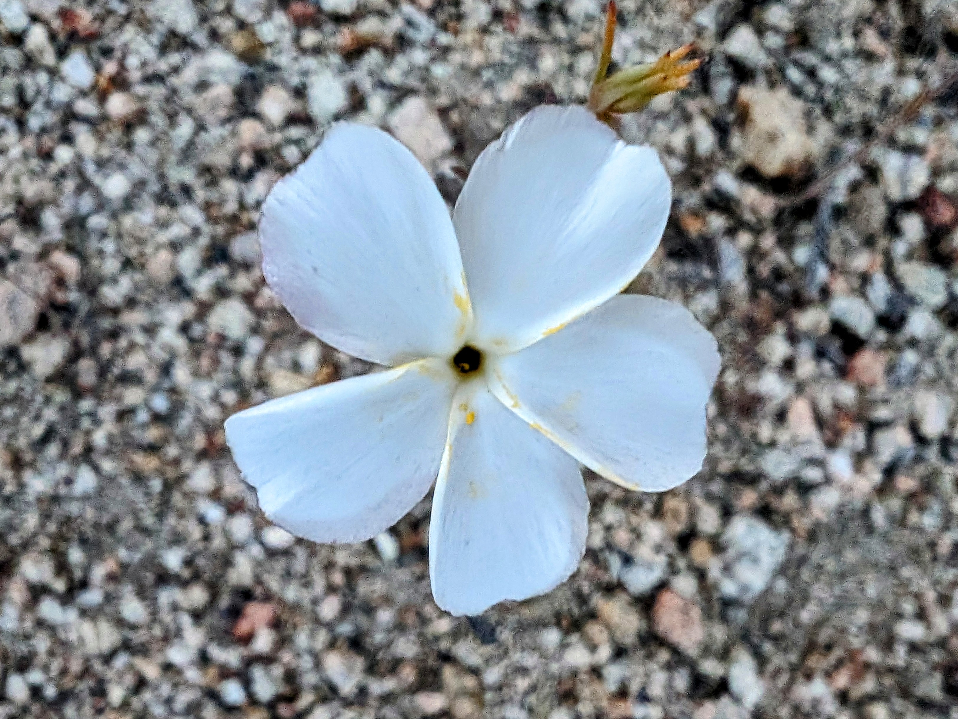
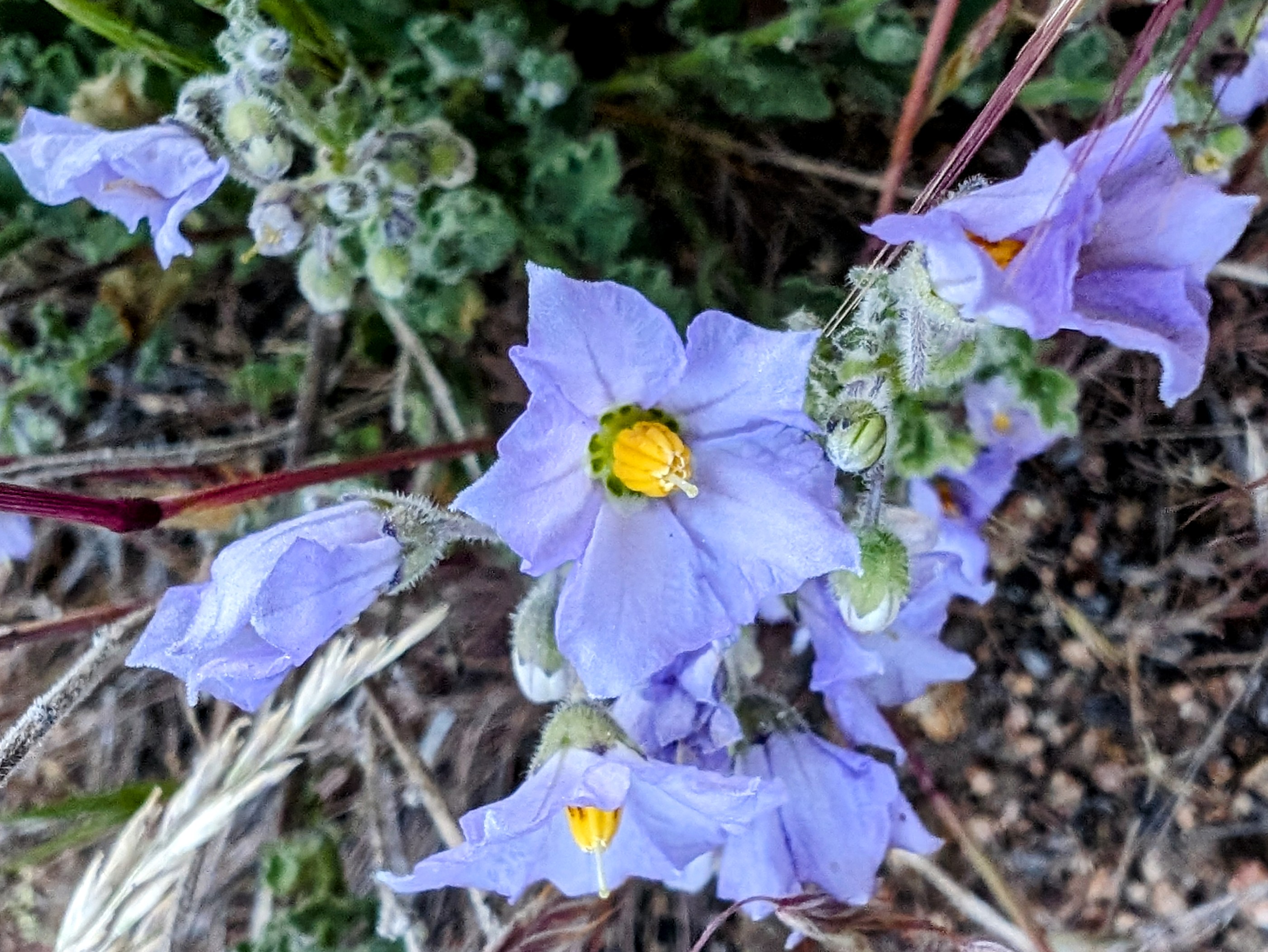
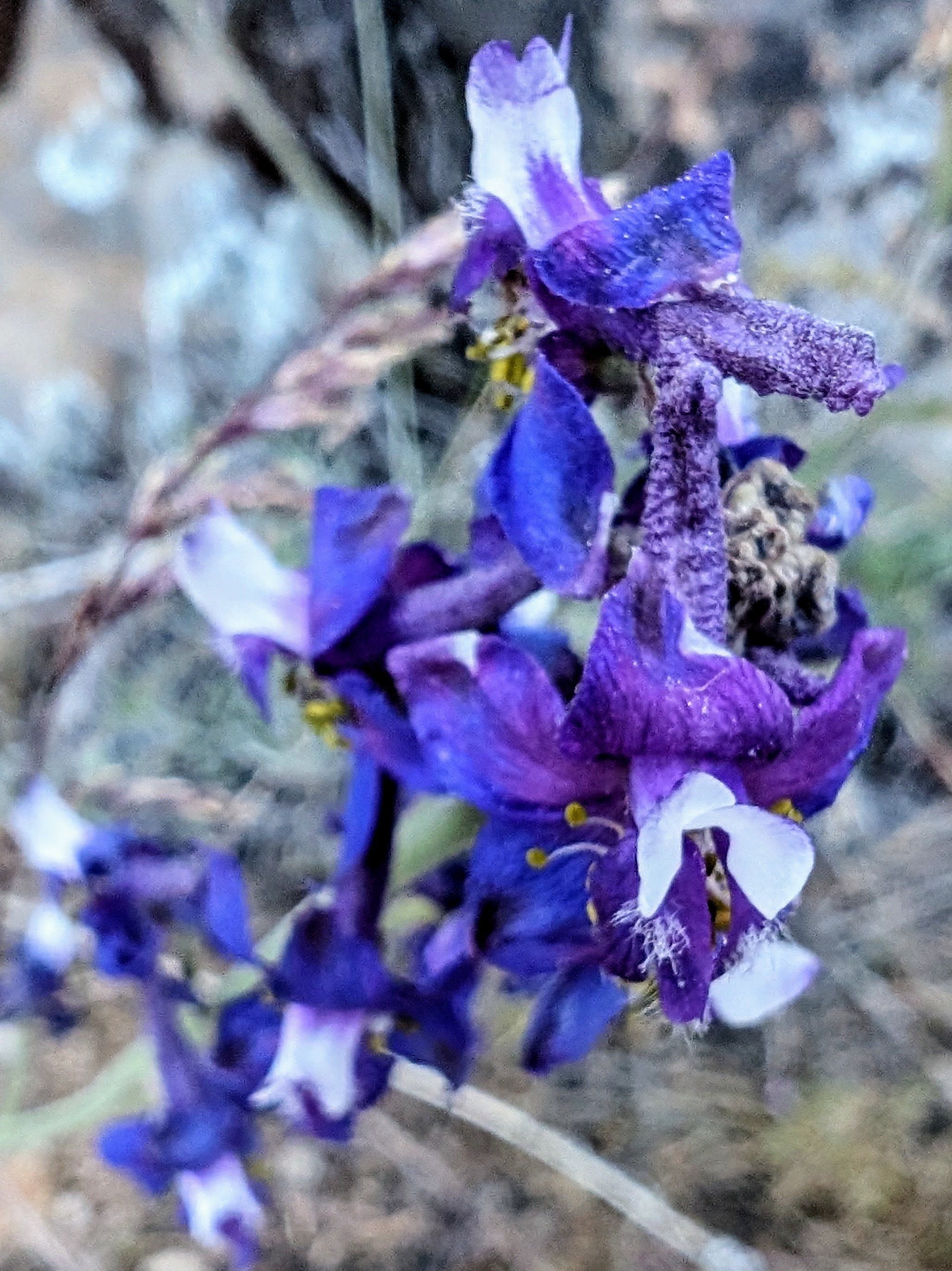
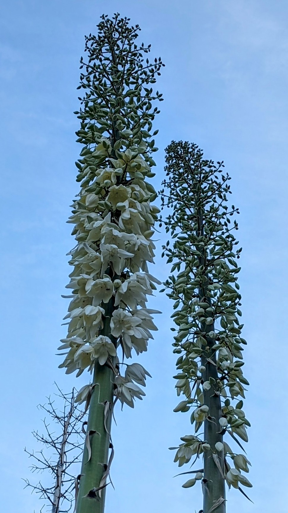
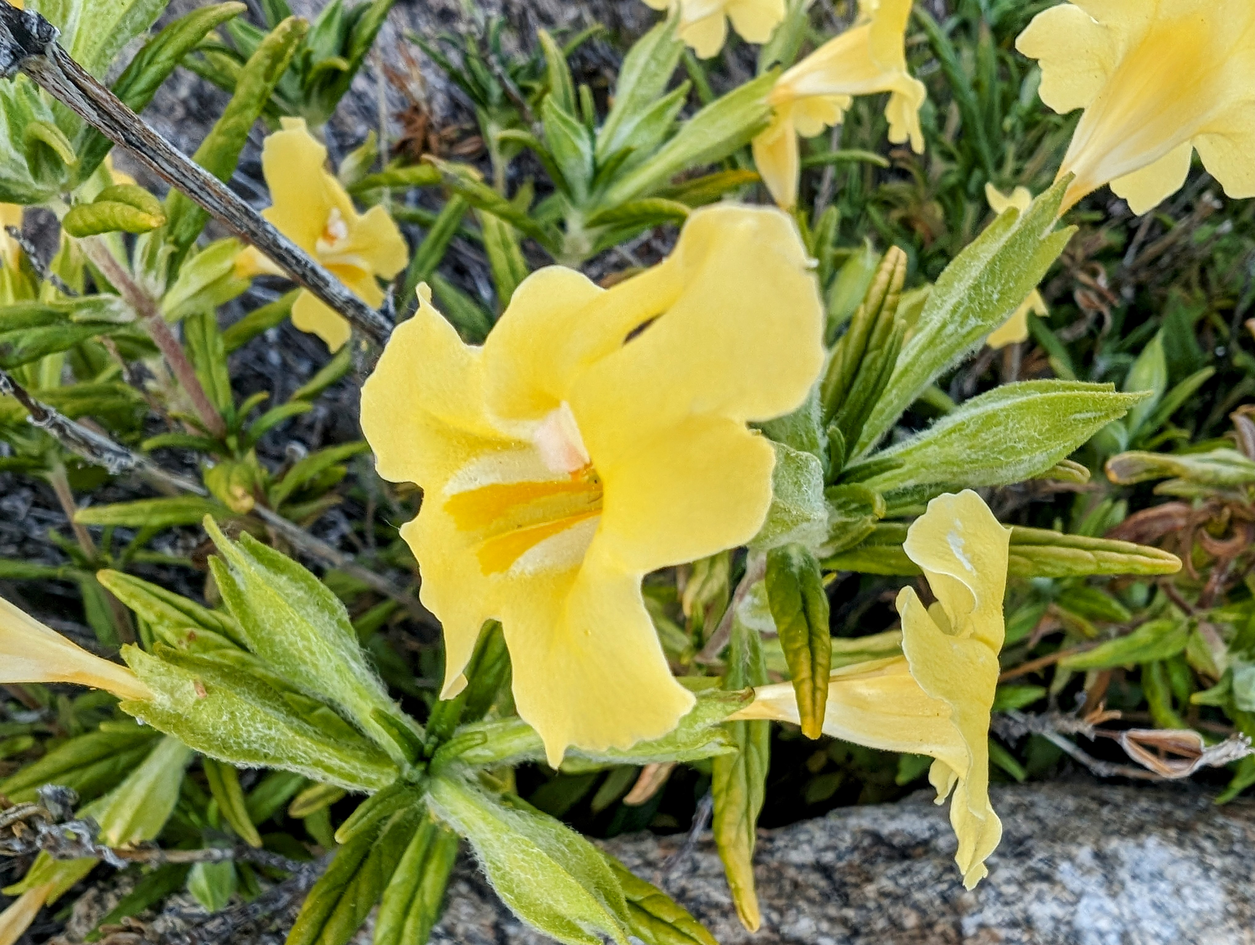
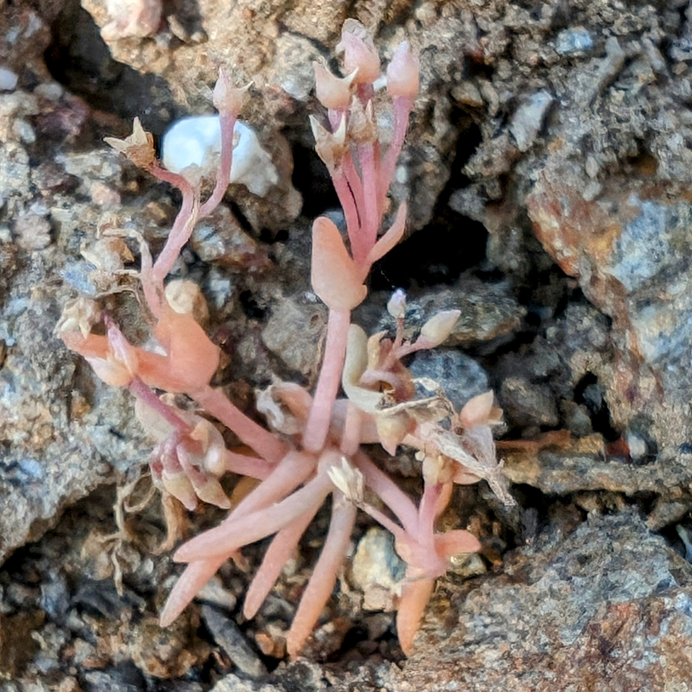
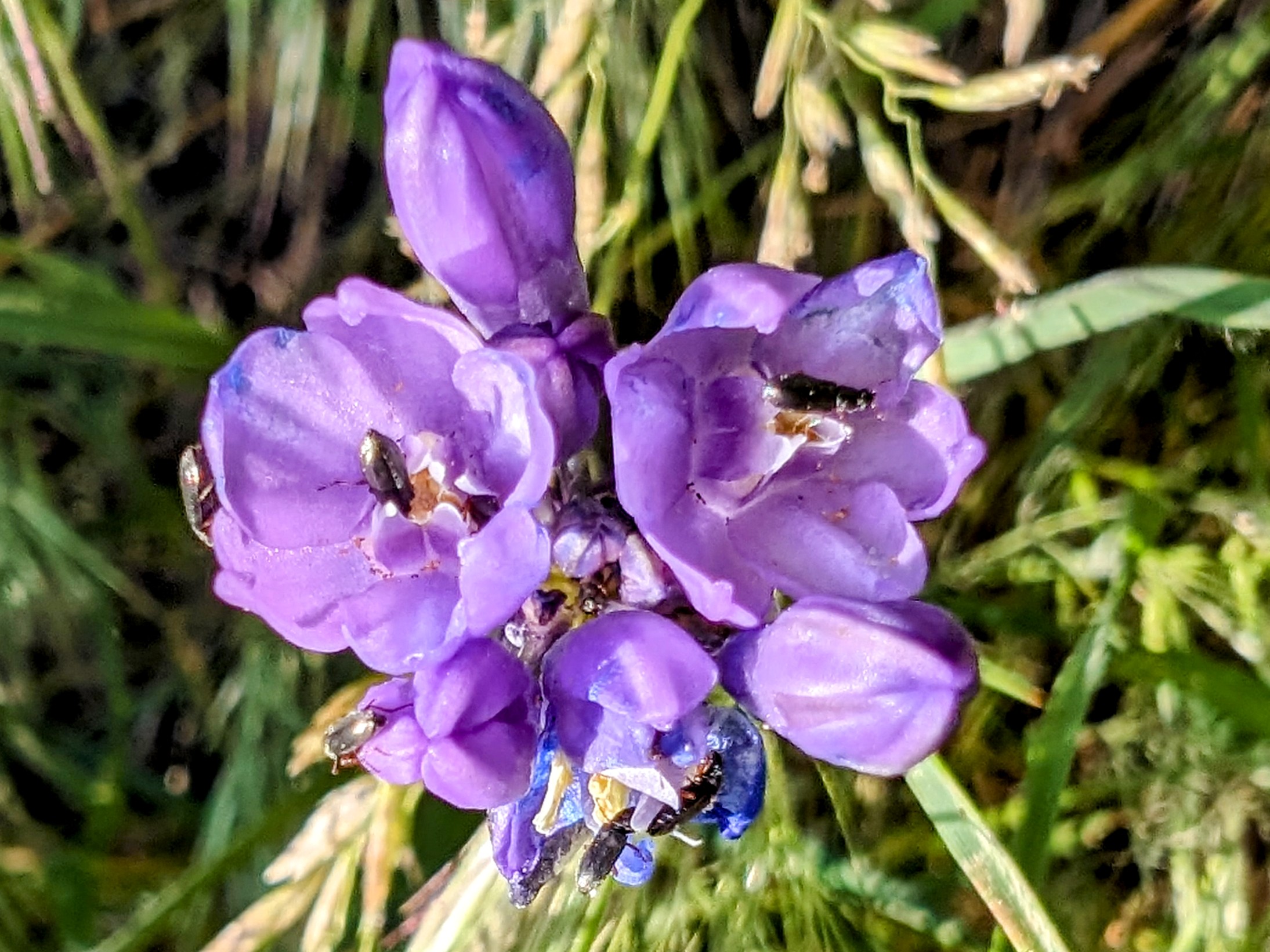
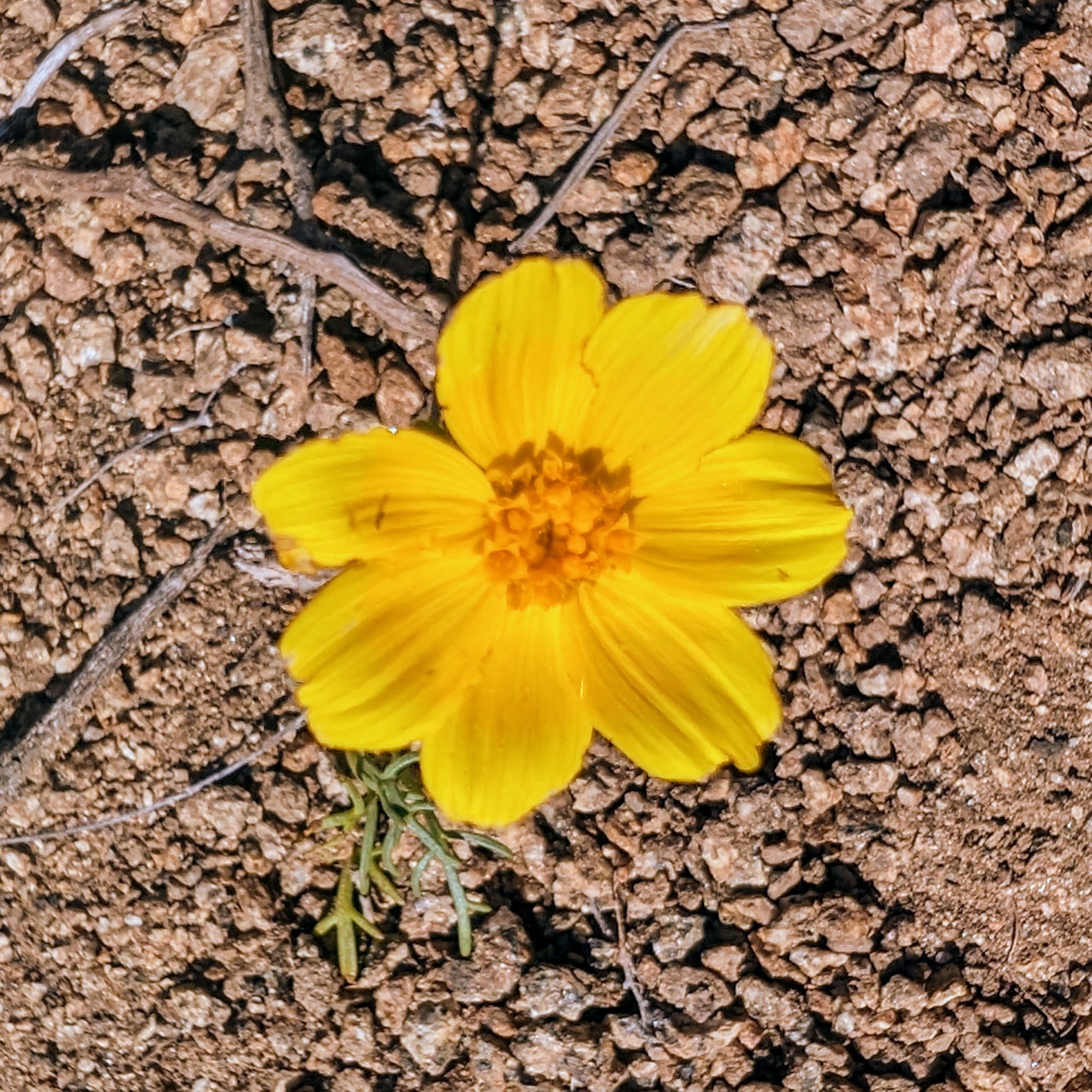
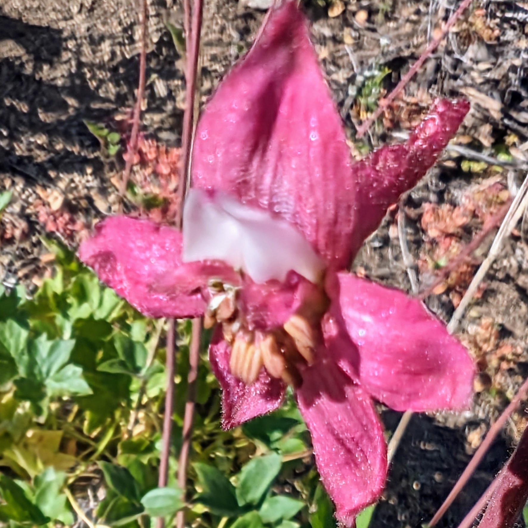
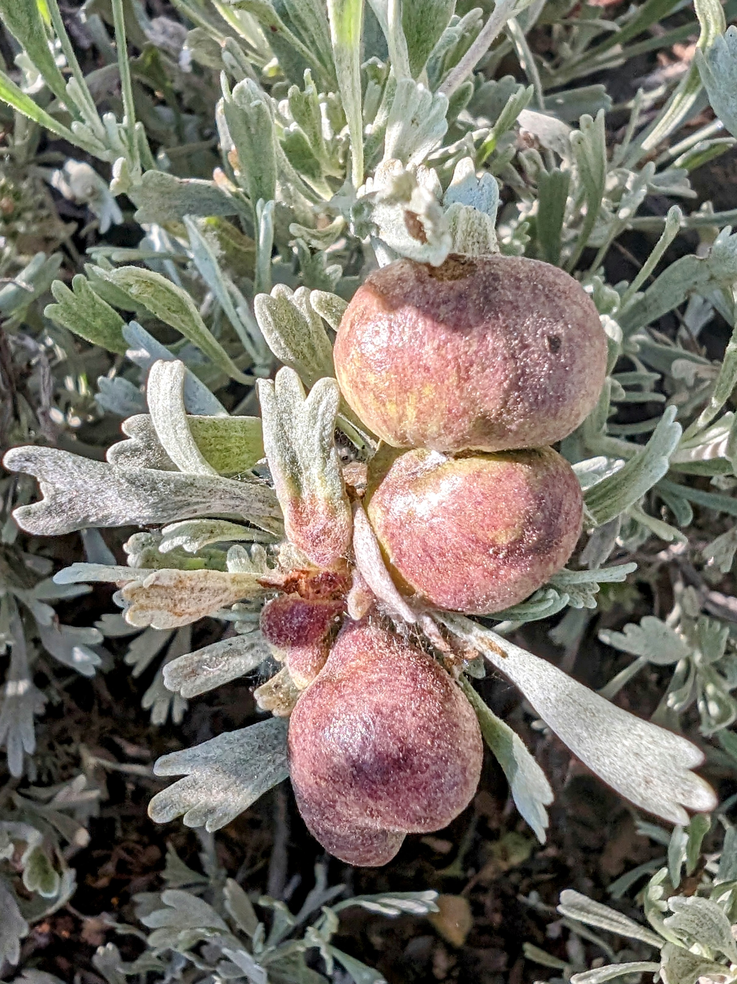
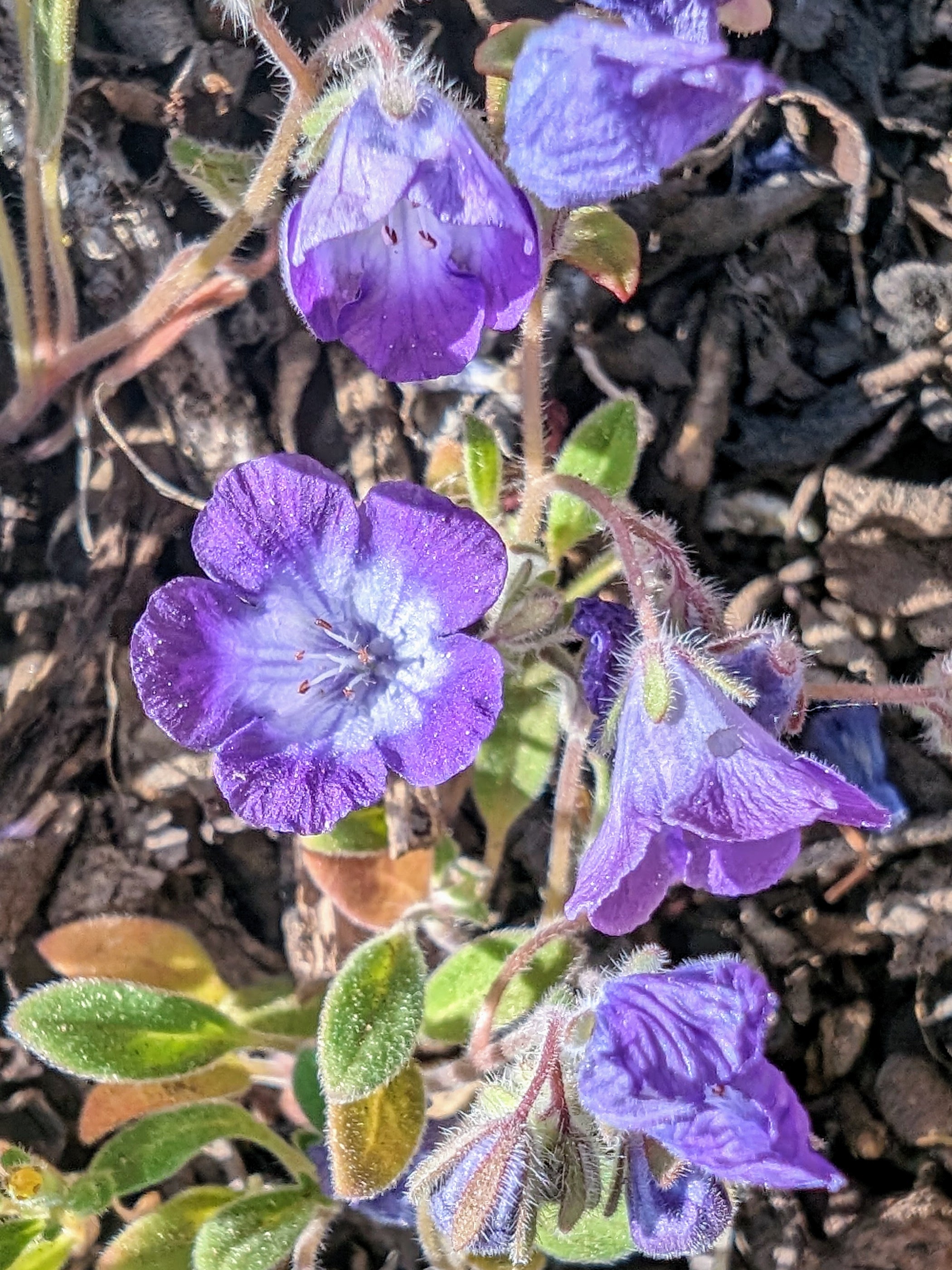
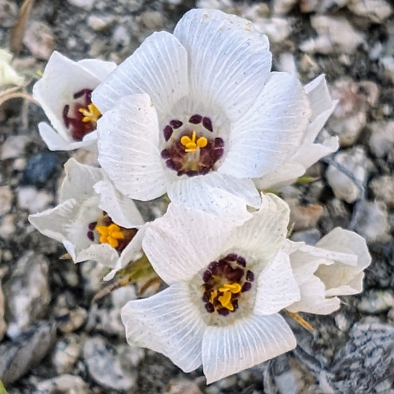
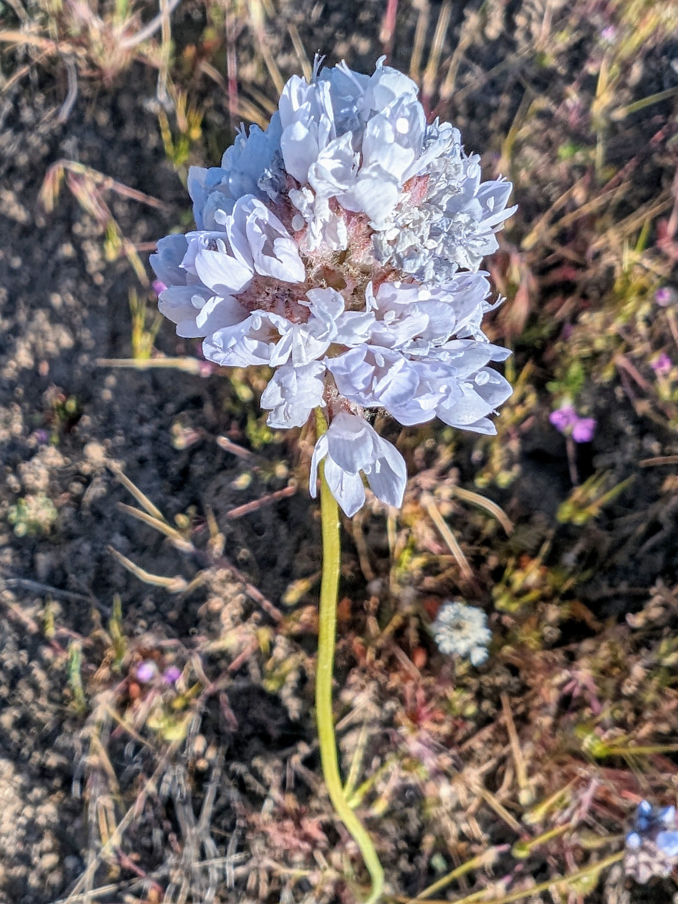
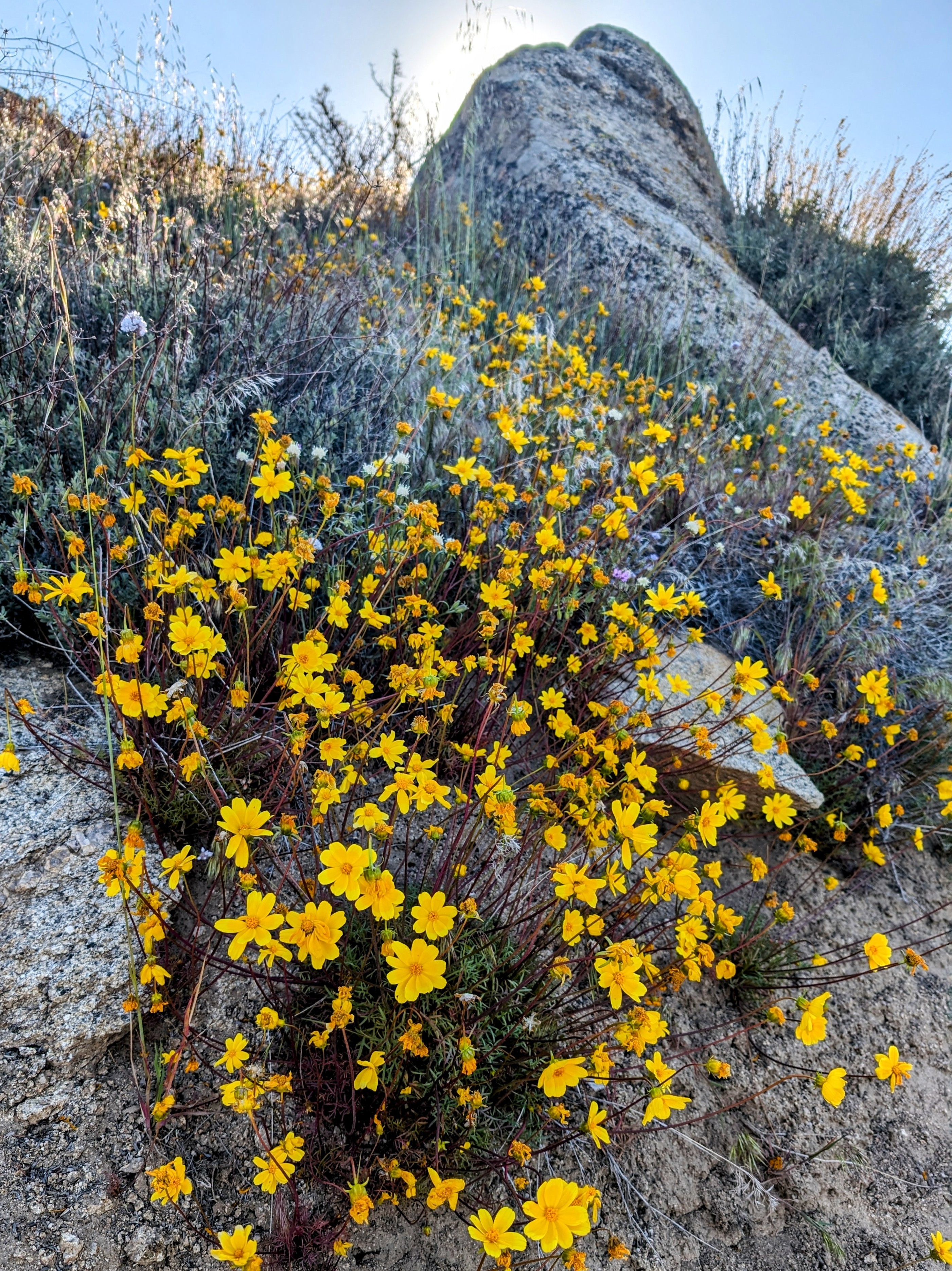
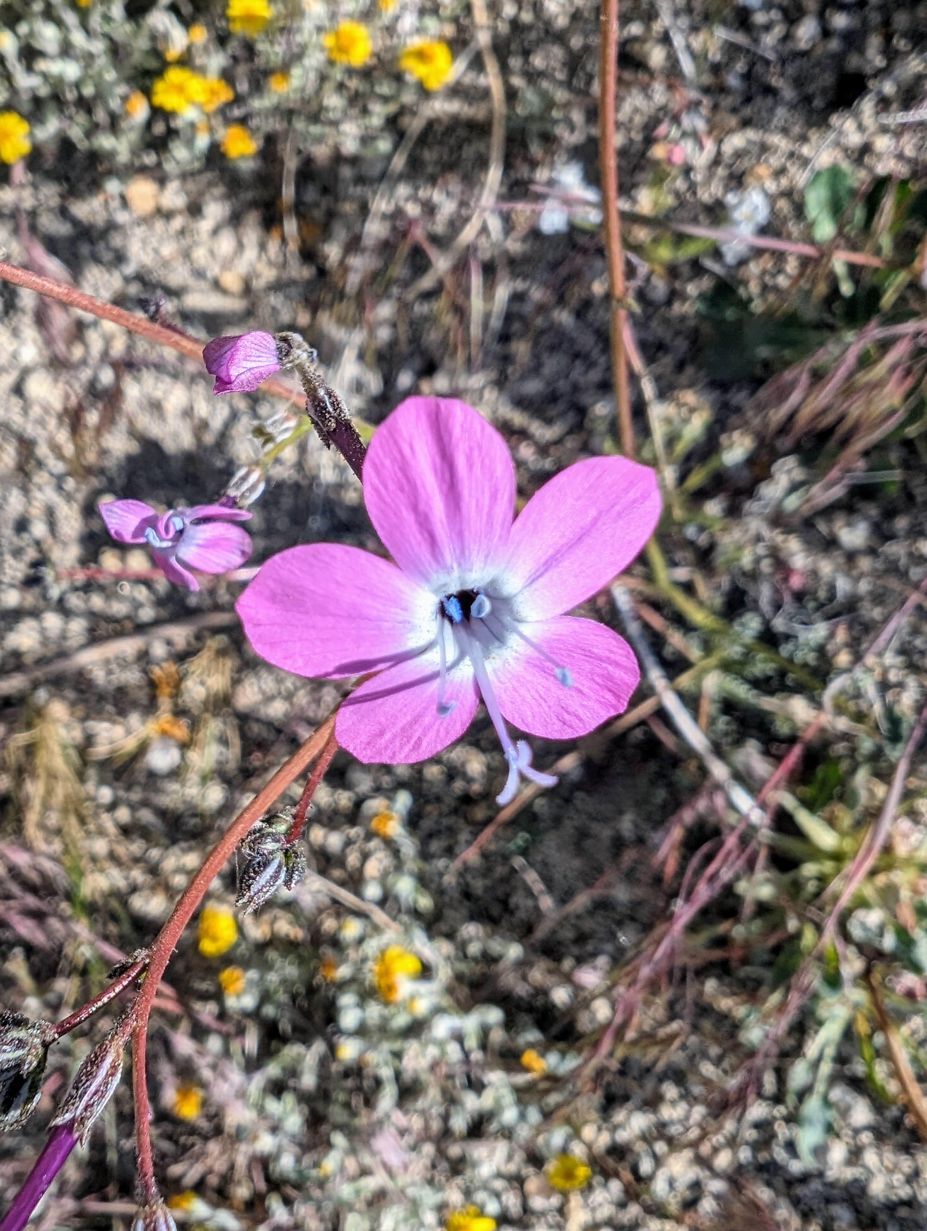
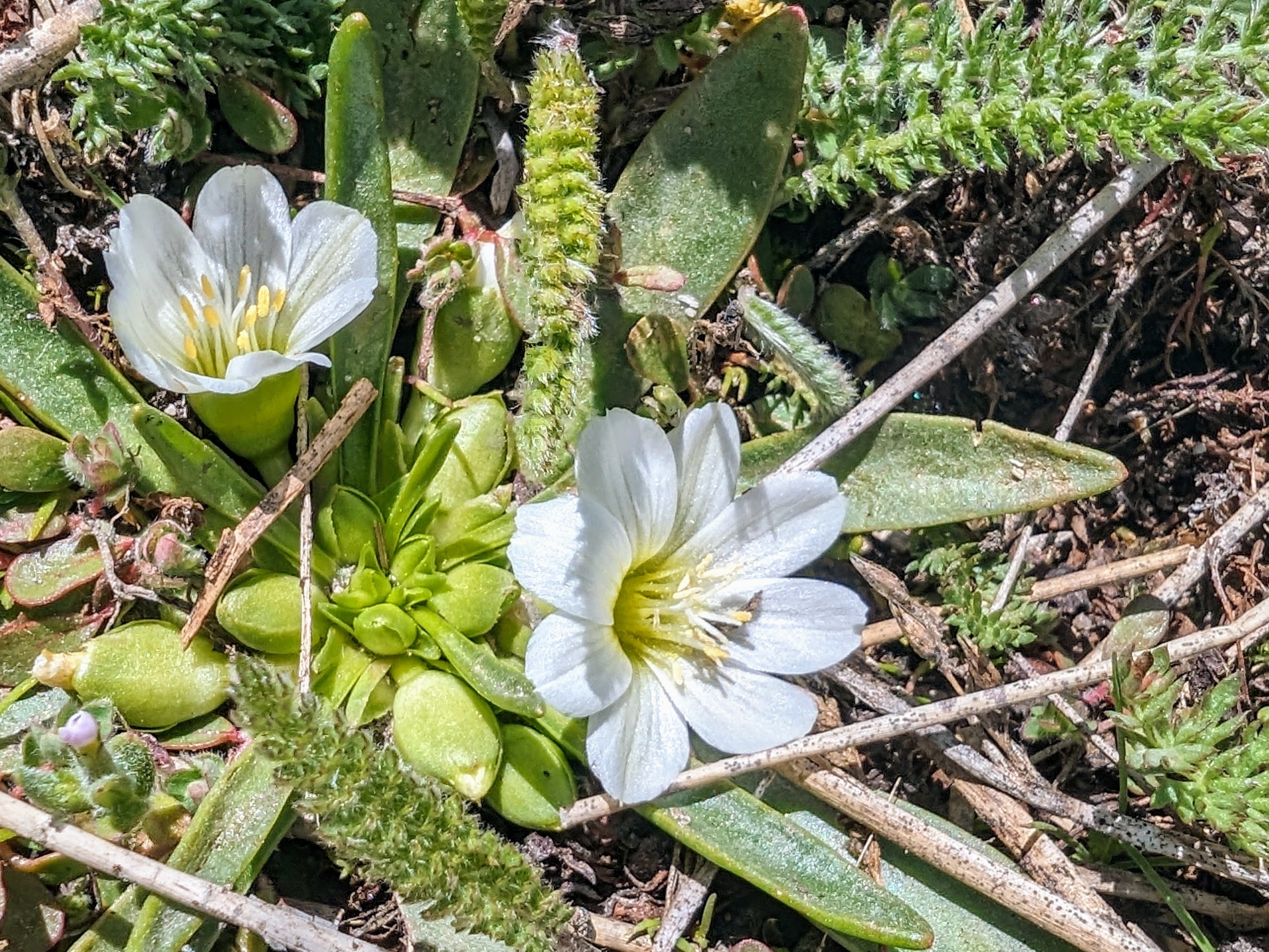
One great thing about starting at such a low elevation is that my hike took me back in time. I passed late-blooming flowers first, and then found earlier and earlier blossoms as I climbed.
![pxl_20240514_1231373712](https://jimmyjamhikingclub.com/wp-content/uploads/2024/05/pxl_20240514_1231373712.jpg)
![pxl_20240514_1232139852](https://jimmyjamhikingclub.com/wp-content/uploads/2024/05/pxl_20240514_1232139852.jpg)
![pxl_20240514_1232244712](https://jimmyjamhikingclub.com/wp-content/uploads/2024/05/pxl_20240514_1232244712.jpg)
![pxl_20240514_1232549782](https://jimmyjamhikingclub.com/wp-content/uploads/2024/05/pxl_20240514_1232549782.jpg)
I didn’t have much beta on this trail, so I wasn’t sure what water sources would be like. I assumed that streams would be full because it’s been a normal winter this year, but you never know until you go.
My first stop for water was past a saddle that brought me down to Cannell Creek.
![pxl_20240514_1249284452](https://jimmyjamhikingclub.com/wp-content/uploads/2024/05/pxl_20240514_1249284452.jpg)
![pxl_20240514_1251476102](https://jimmyjamhikingclub.com/wp-content/uploads/2024/05/pxl_20240514_1251476102.jpg)
![pxl_20240514_1307145382](https://jimmyjamhikingclub.com/wp-content/uploads/2024/05/pxl_20240514_1307145382.jpg)
![pxl_20240514_1316004442](https://jimmyjamhikingclub.com/wp-content/uploads/2024/05/pxl_20240514_1316004442.jpg)
But the place I thought I would get water was absolutely choked with vegetation. I worried about running into poison oak.
So I kept climbing.
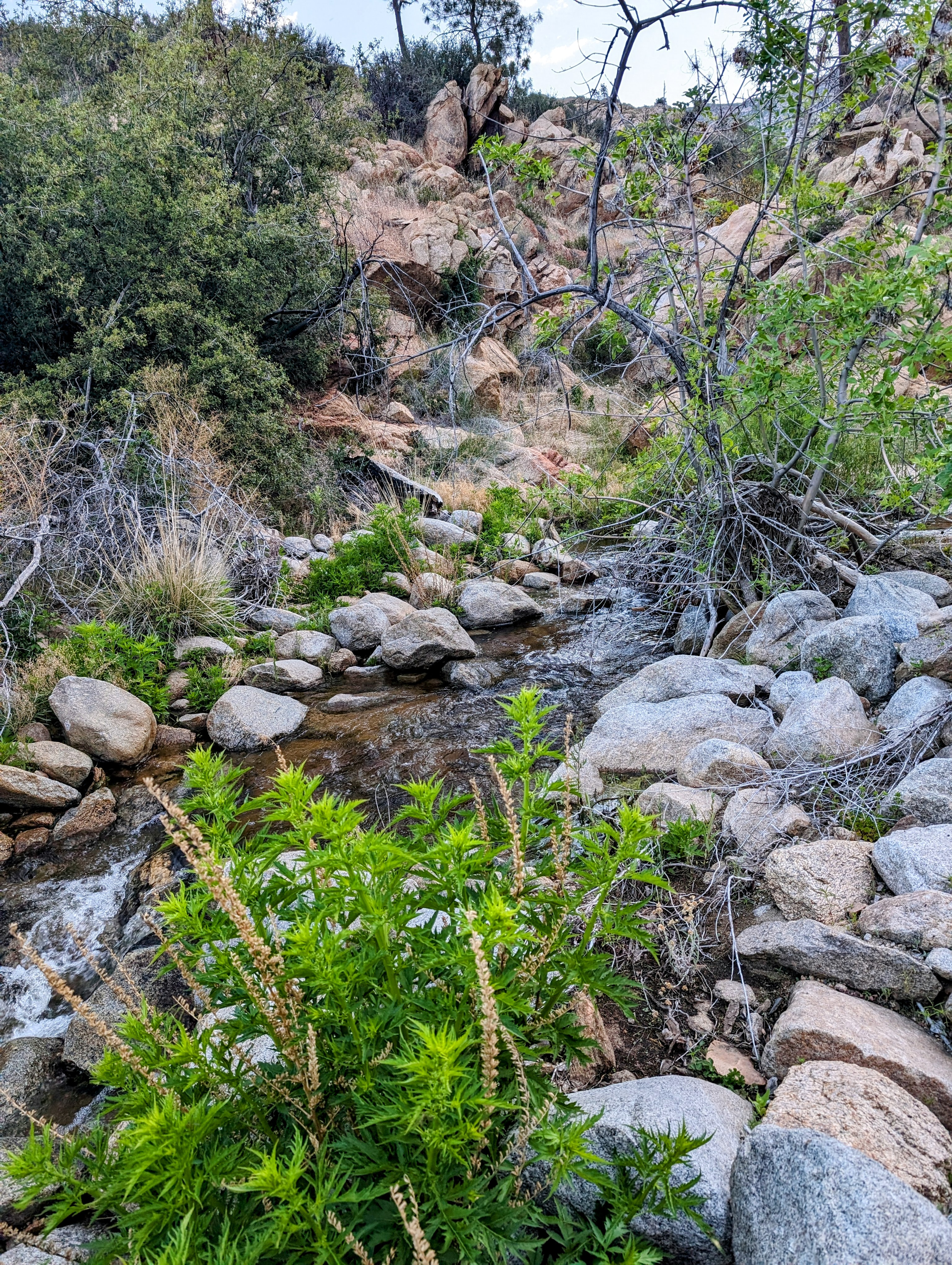
The trail follows the creek, but it is high on a steep hillside. I worried as the trail climbed higher and higher above the creek. But eventually the two converged again until I was only 50 feet above a clear place to climb down.
![pxl_20240514_1325078682](https://jimmyjamhikingclub.com/wp-content/uploads/2024/05/pxl_20240514_1325078682.jpg)
![pxl_20240514_1341308852](https://jimmyjamhikingclub.com/wp-content/uploads/2024/05/pxl_20240514_1341308852.jpg)
![pxl_20240514_1346394272](https://jimmyjamhikingclub.com/wp-content/uploads/2024/05/pxl_20240514_1346394272.jpg)
![pxl_20240514_1353111552](https://jimmyjamhikingclub.com/wp-content/uploads/2024/05/pxl_20240514_1353111552.jpg)
![pxl_20240514_1413572372](https://jimmyjamhikingclub.com/wp-content/uploads/2024/05/pxl_20240514_1413572372.jpg)
![pxl_20240514_1415327542](https://jimmyjamhikingclub.com/wp-content/uploads/2024/05/pxl_20240514_1415327542.jpg)
![pxl_20240514_1427180872](https://jimmyjamhikingclub.com/wp-content/uploads/2024/05/pxl_20240514_1427180872.jpg)
It felt good to cross the 5,000 foot mark before it got too hot!
![pxl_20240514_142911584](https://jimmyjamhikingclub.com/wp-content/uploads/2024/05/pxl_20240514_142911584.jpg)
![pxl_20240514_1431398932](https://jimmyjamhikingclub.com/wp-content/uploads/2024/05/pxl_20240514_1431398932.jpg)
![pxl_20240514_1434225092](https://jimmyjamhikingclub.com/wp-content/uploads/2024/05/pxl_20240514_1434225092.jpg)
![pxl_20240514_1438105362](https://jimmyjamhikingclub.com/wp-content/uploads/2024/05/pxl_20240514_1438105362.jpg)
![pxl_20240514_1439071282](https://jimmyjamhikingclub.com/wp-content/uploads/2024/05/pxl_20240514_1439071282.jpg)
![pxl_20240514_1442489522](https://jimmyjamhikingclub.com/wp-content/uploads/2024/05/pxl_20240514_1442489522.jpg)
![pxl_20240514_1452342472](https://jimmyjamhikingclub.com/wp-content/uploads/2024/05/pxl_20240514_1452342472.jpg)
![pxl_20240514_1455148782](https://jimmyjamhikingclub.com/wp-content/uploads/2024/05/pxl_20240514_1455148782.jpg)
![pxl_20240514_1458559112](https://jimmyjamhikingclub.com/wp-content/uploads/2024/05/pxl_20240514_1458559112.jpg)
![pxl_20240514_1502041982](https://jimmyjamhikingclub.com/wp-content/uploads/2024/05/pxl_20240514_1502041982.jpg)
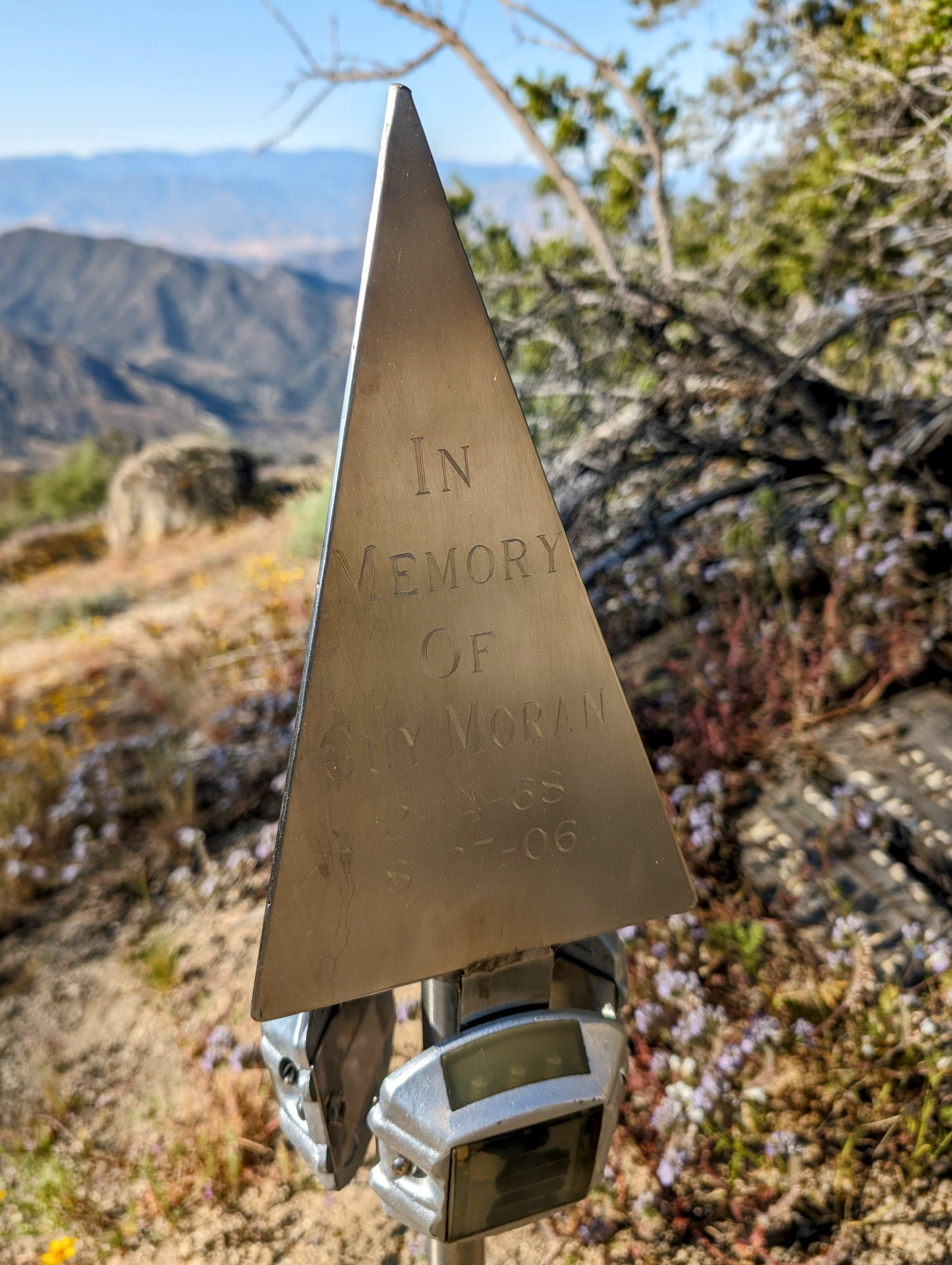
As I neared 6,000 feet I passed a memorial for a mountain biker from Bakersfield.
![pxl_20240514_1508593932](https://jimmyjamhikingclub.com/wp-content/uploads/2024/05/pxl_20240514_1508593932.jpg)
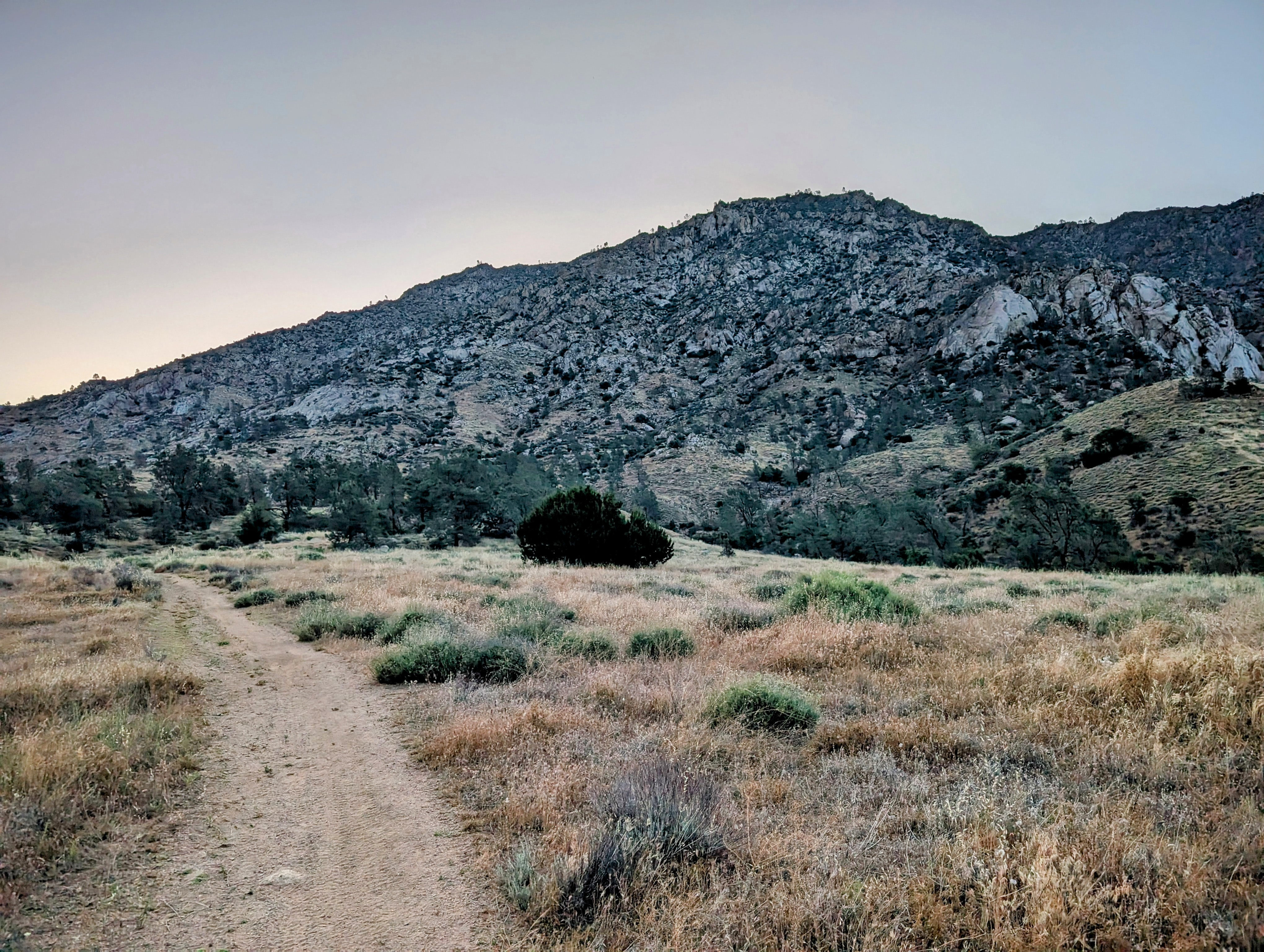
Soon after I took a long break to enjoy a gorgeous view.
![pxl_20240514_1516066292](https://jimmyjamhikingclub.com/wp-content/uploads/2024/05/pxl_20240514_1516066292.jpg)
![pxl_20240514_1546564922](https://jimmyjamhikingclub.com/wp-content/uploads/2024/05/pxl_20240514_1546564922.jpg)
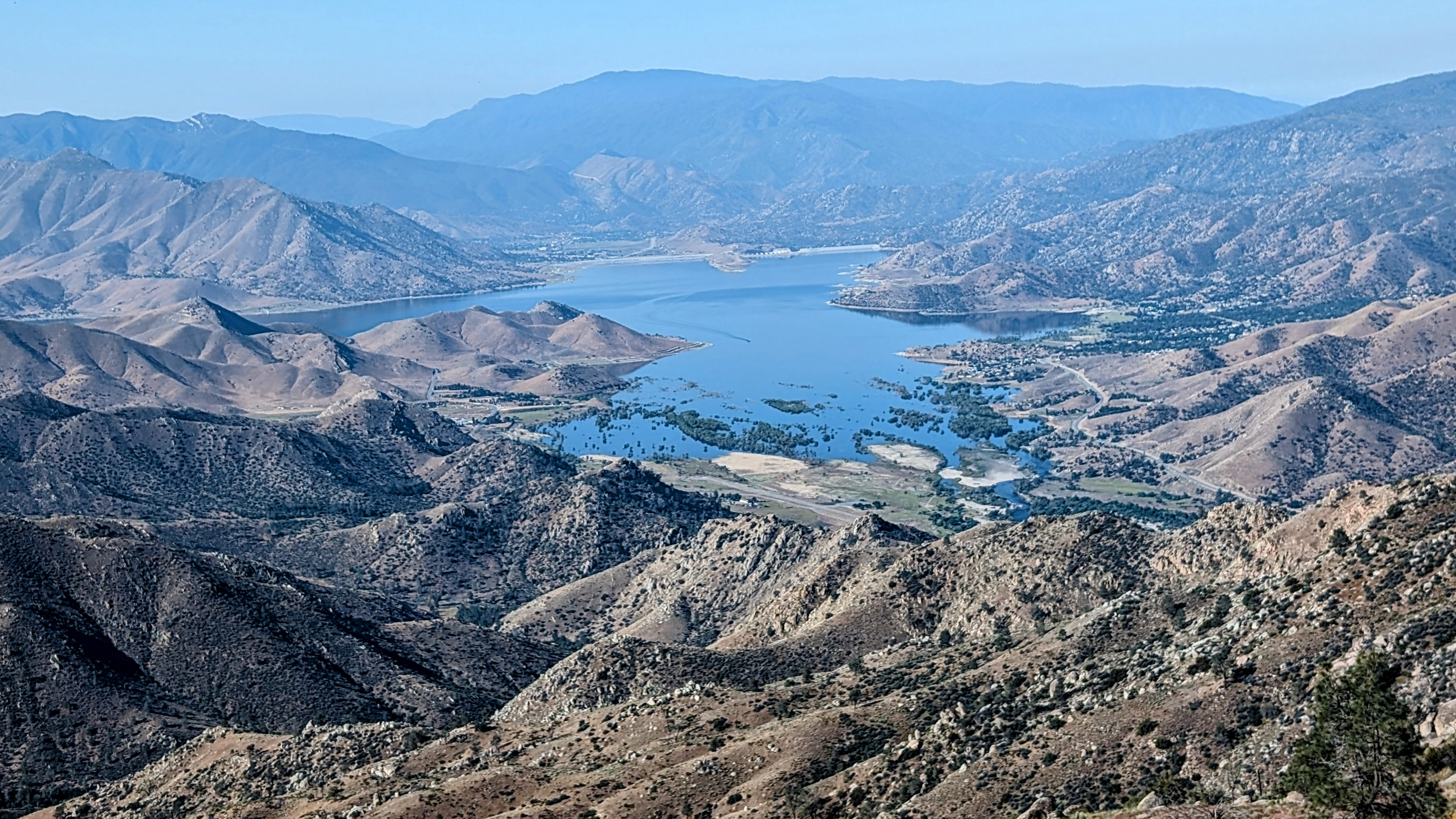
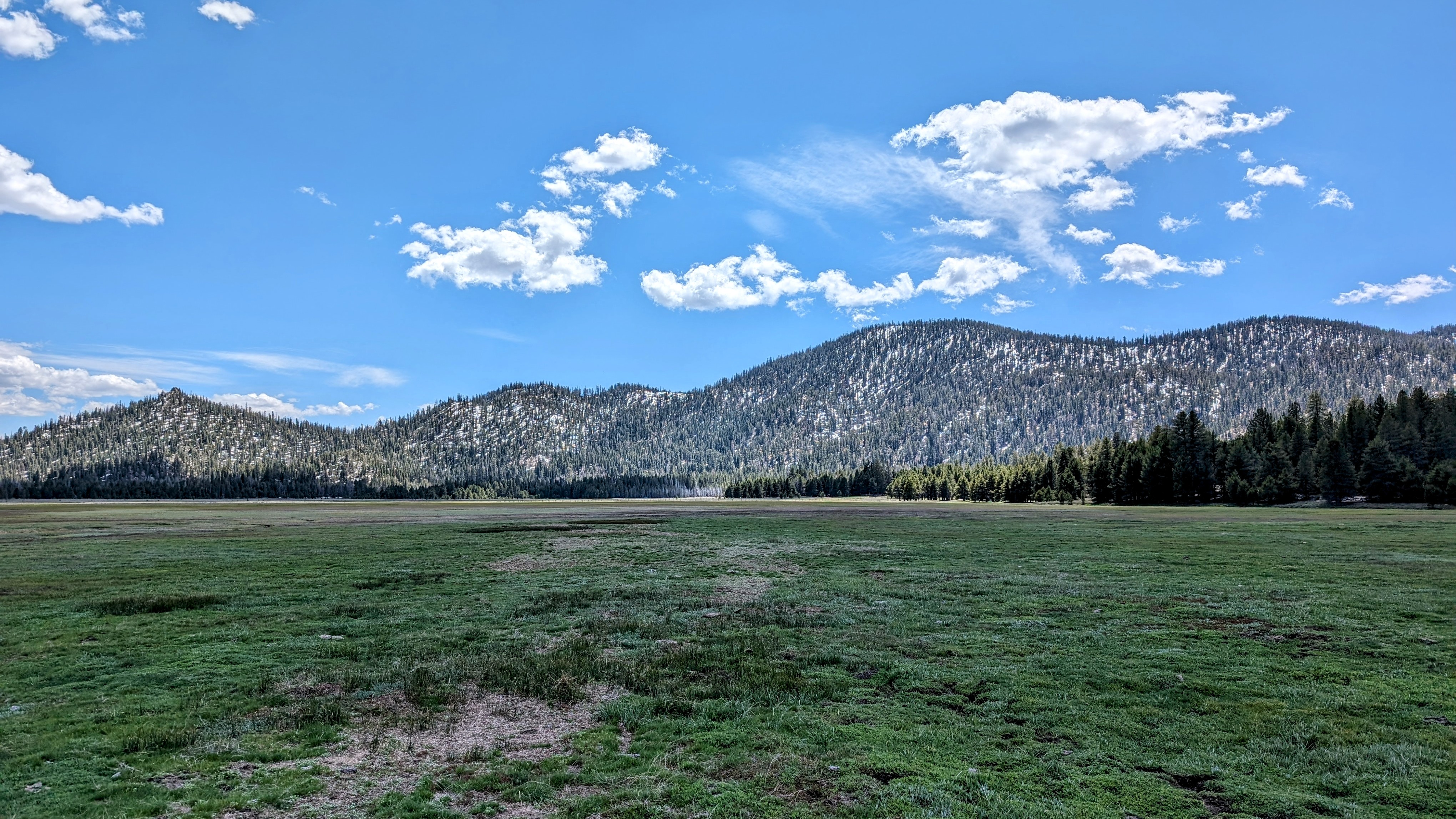
By 10:30am I made it to Cannell Meadows at 7,400 feet.
![pxl_20240514_1735048662](https://jimmyjamhikingclub.com/wp-content/uploads/2024/05/pxl_20240514_1735048662.jpg)
![pxl_20240514_1742561782](https://jimmyjamhikingclub.com/wp-content/uploads/2024/05/pxl_20240514_1742561782.jpg)
![pxl_20240514_1750130932](https://jimmyjamhikingclub.com/wp-content/uploads/2024/05/pxl_20240514_1750130932.jpg)
![pxl_20240514_1831268852](https://jimmyjamhikingclub.com/wp-content/uploads/2024/05/pxl_20240514_1831268852.jpg)
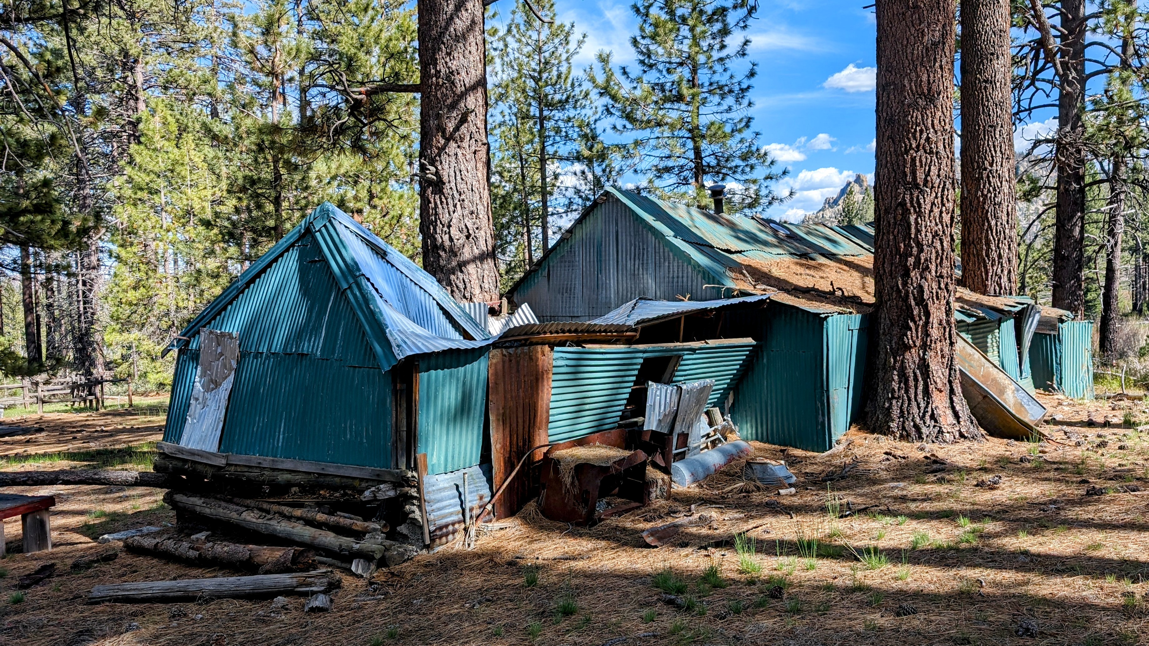
I took another break at Camp Andrew Brown, which was extremely neat and well-organized. I later learned that this is a Mormon campground.
![pxl_20240514_2041076942](https://jimmyjamhikingclub.com/wp-content/uploads/2024/05/pxl_20240514_2041076942.jpg)
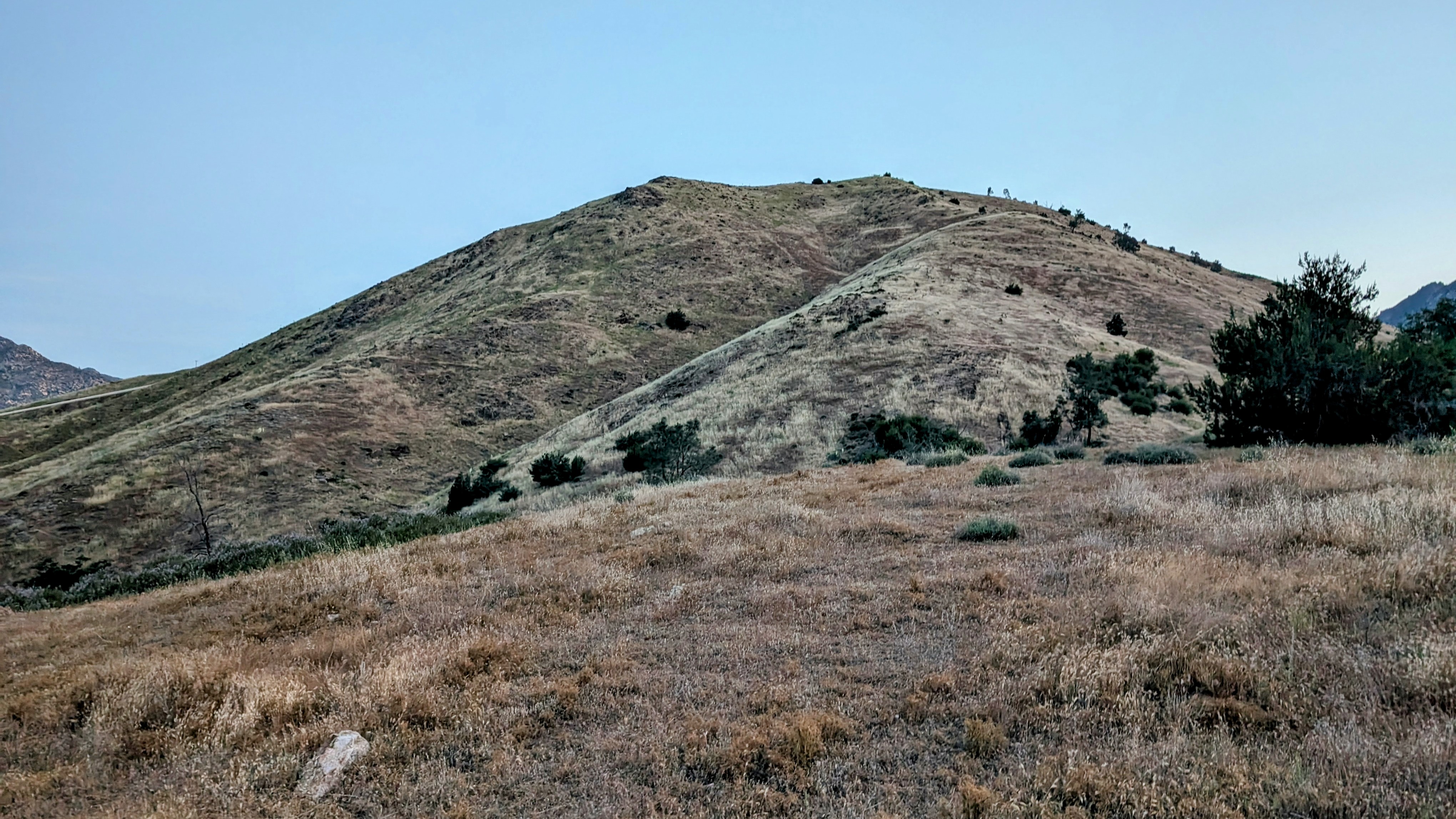
Alas, I had to do another climb up to 8,400 feet to get to my next destination.
![pxl_20240514_2111040922](https://jimmyjamhikingclub.com/wp-content/uploads/2024/05/pxl_20240514_2111040922.jpg)
![pxl_20240514_2114381352](https://jimmyjamhikingclub.com/wp-content/uploads/2024/05/pxl_20240514_2114381352.jpg)
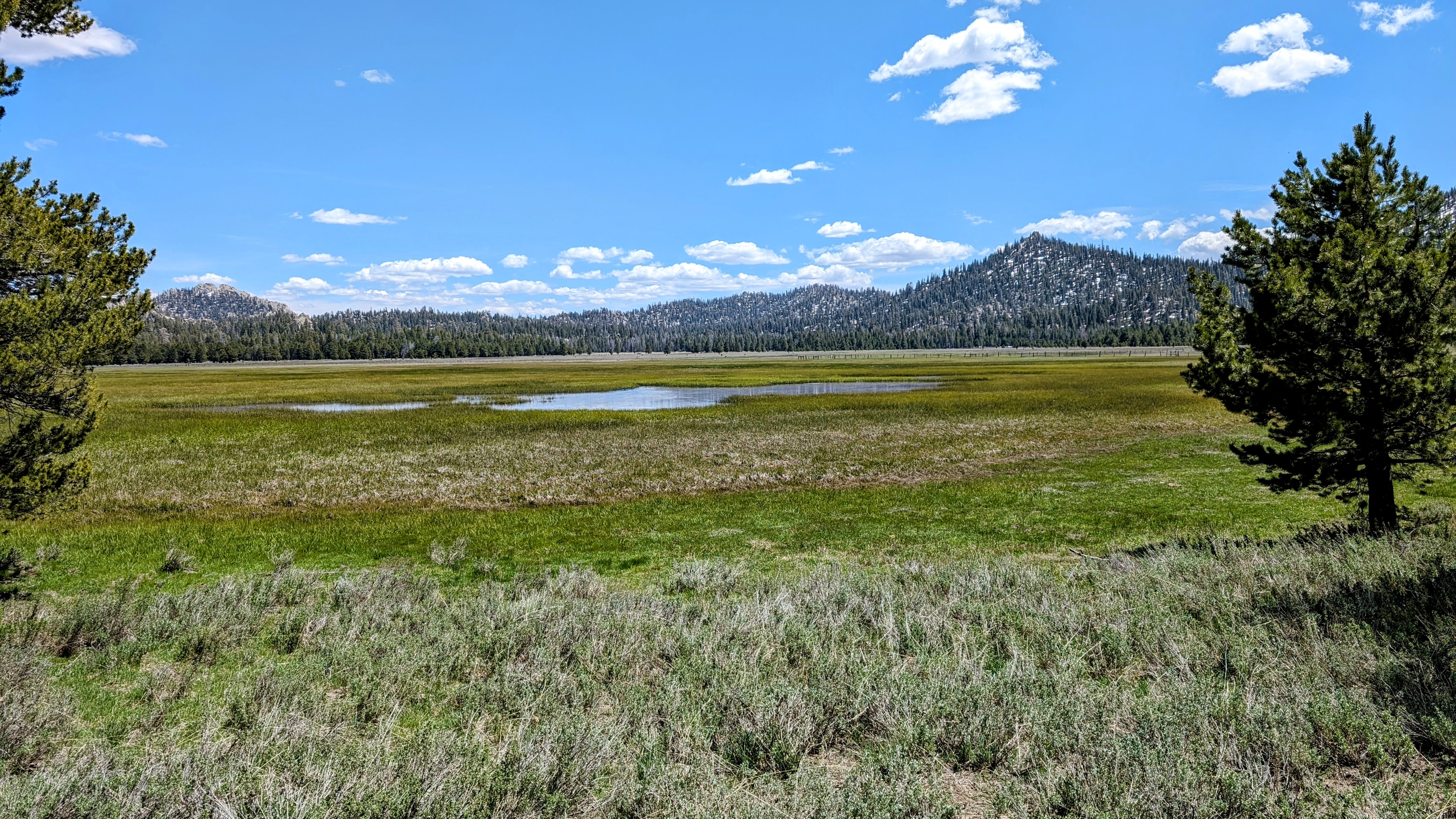
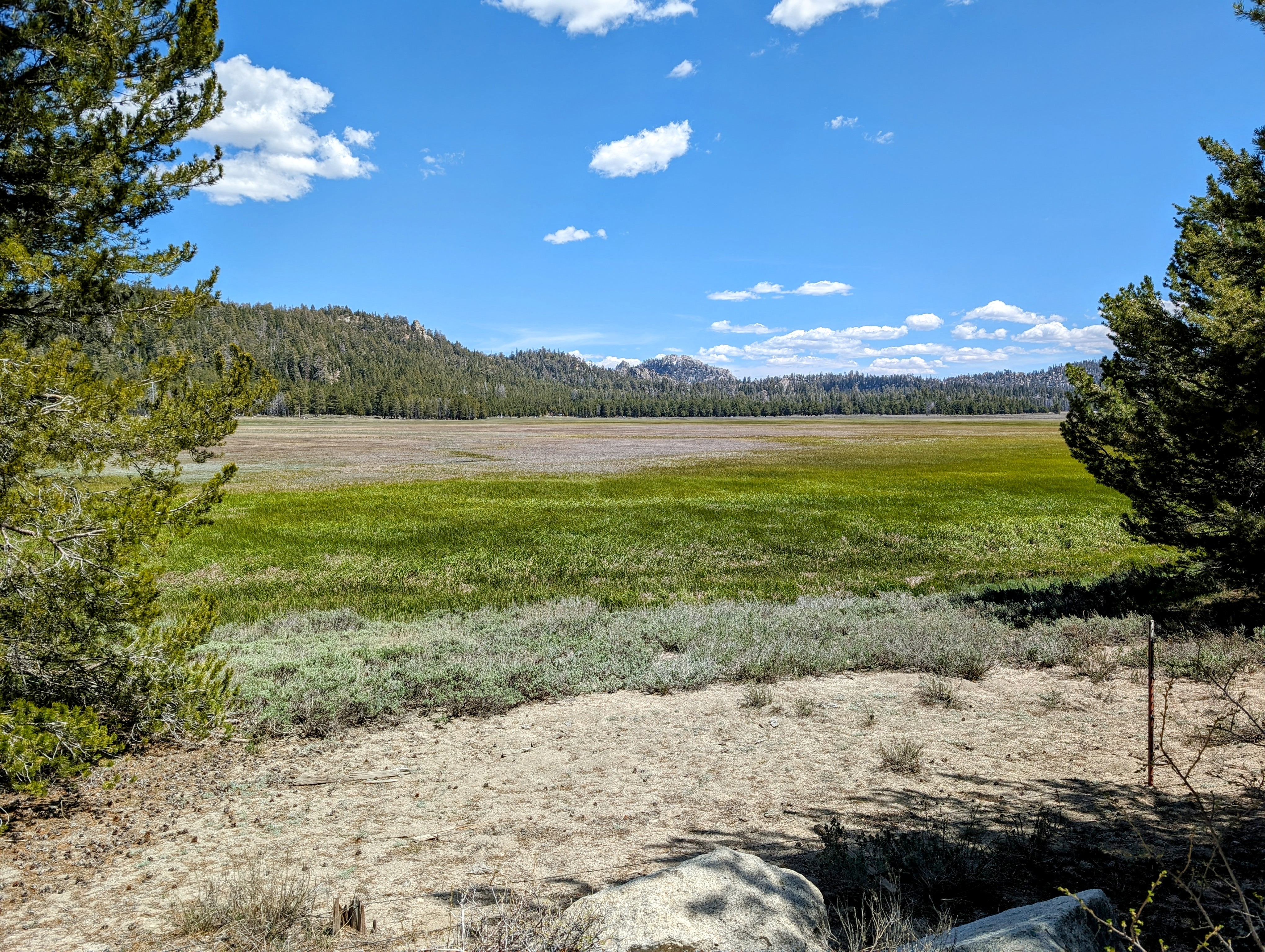
The meadow was mostly walkable, but near streams within it the terrain became swampy with ankle deep water. I needed to get to the other side and I originally planned to walk a forest road all around, but in the end I decided to walk straight across. My feet got wet, but the views from the middle of it were wonderful.
![pxl_20240514_2123591162](https://jimmyjamhikingclub.com/wp-content/uploads/2024/05/pxl_20240514_2123591162.jpg)
On the other side I stopped to wring out my socks and shoes before tackling the Deadwood Trail.
![pxl_20240514_2131486092](https://jimmyjamhikingclub.com/wp-content/uploads/2024/05/pxl_20240514_2131486092.jpg)
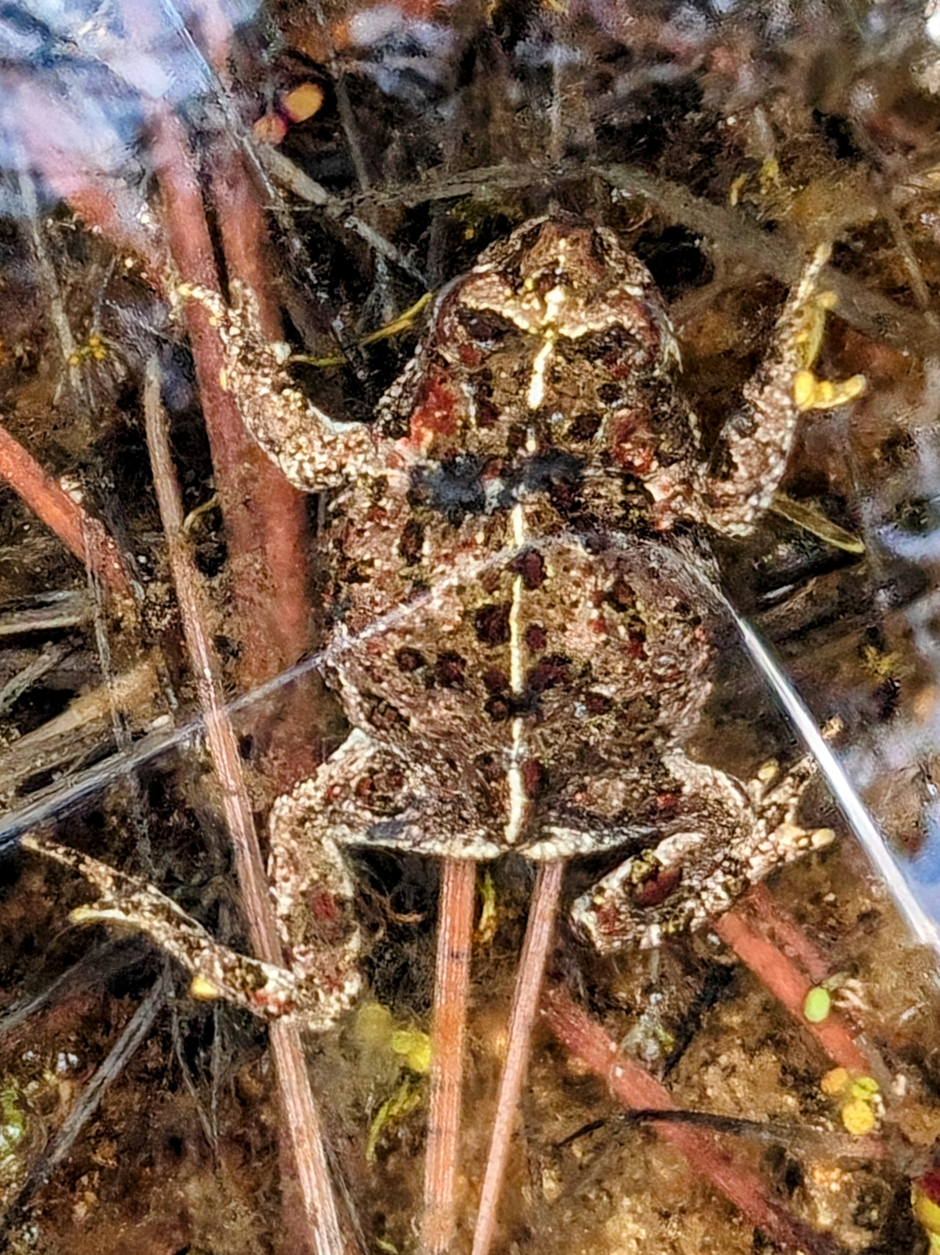
On the way up and over the ridge separating Big Meadow from Manter Meadow, I met a friend on the trail.
![pxl_20240514_2248251323](https://jimmyjamhikingclub.com/wp-content/uploads/2024/05/pxl_20240514_2248251323.jpg)
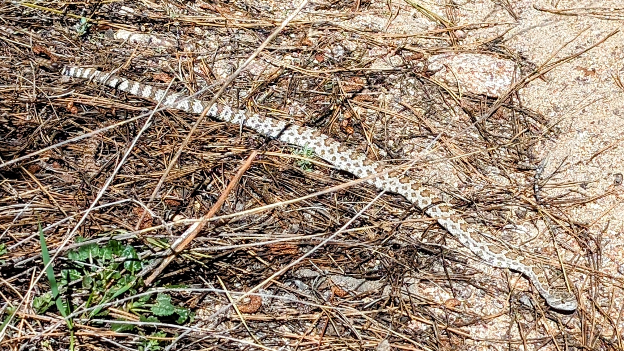
Needless to say, I gave them a wide berth! And after that every stick looked like a snake to me.
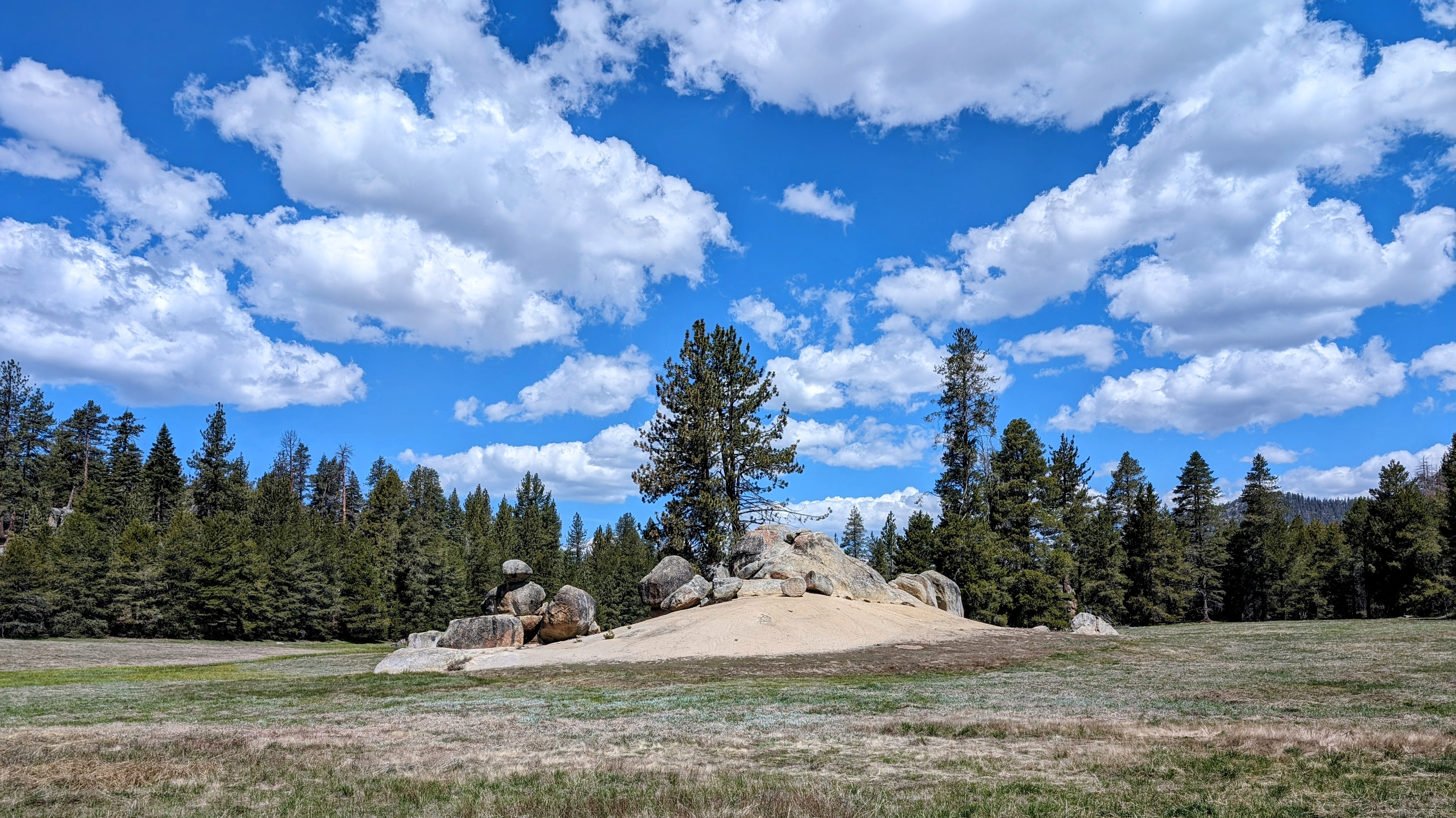
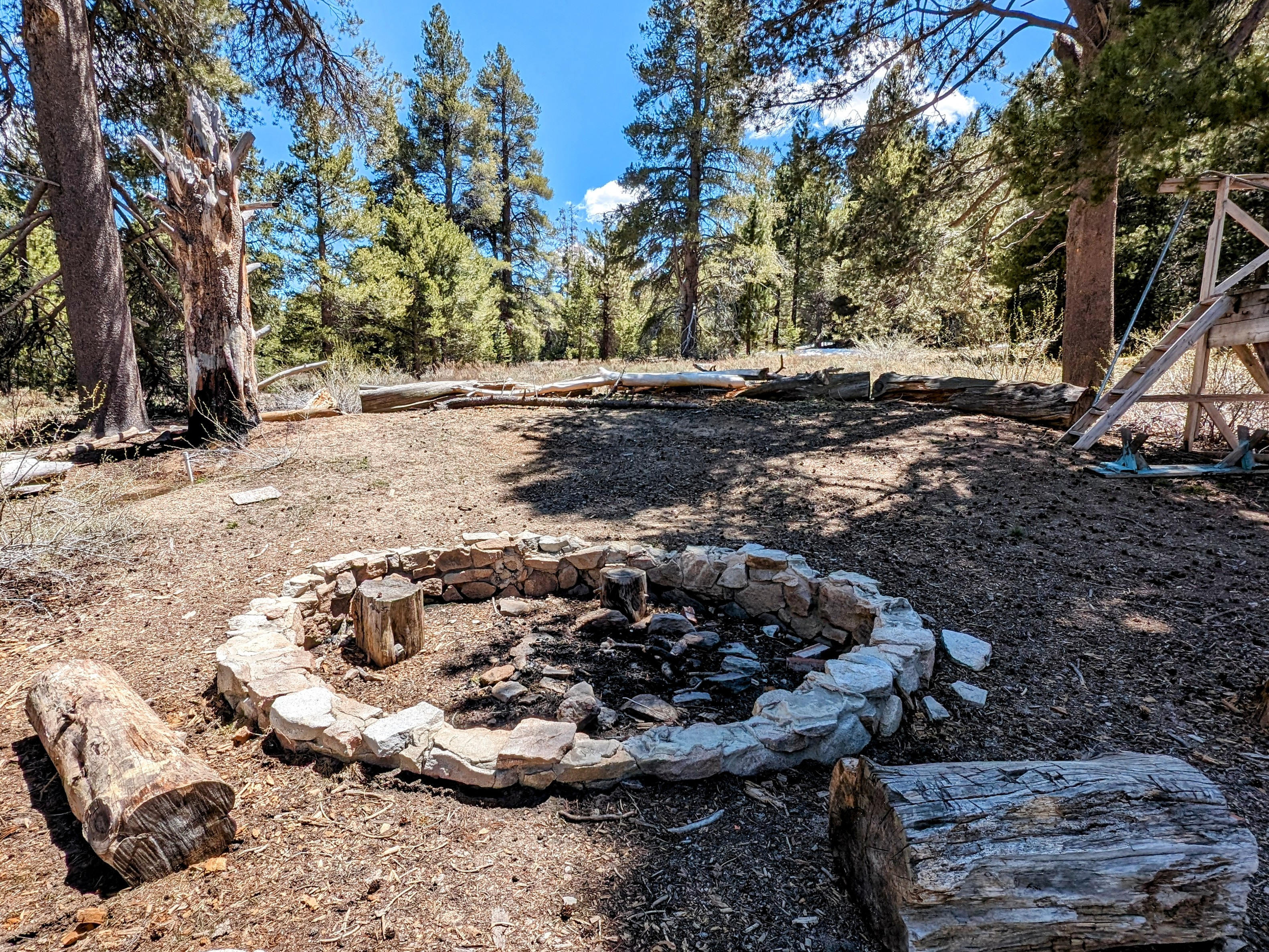
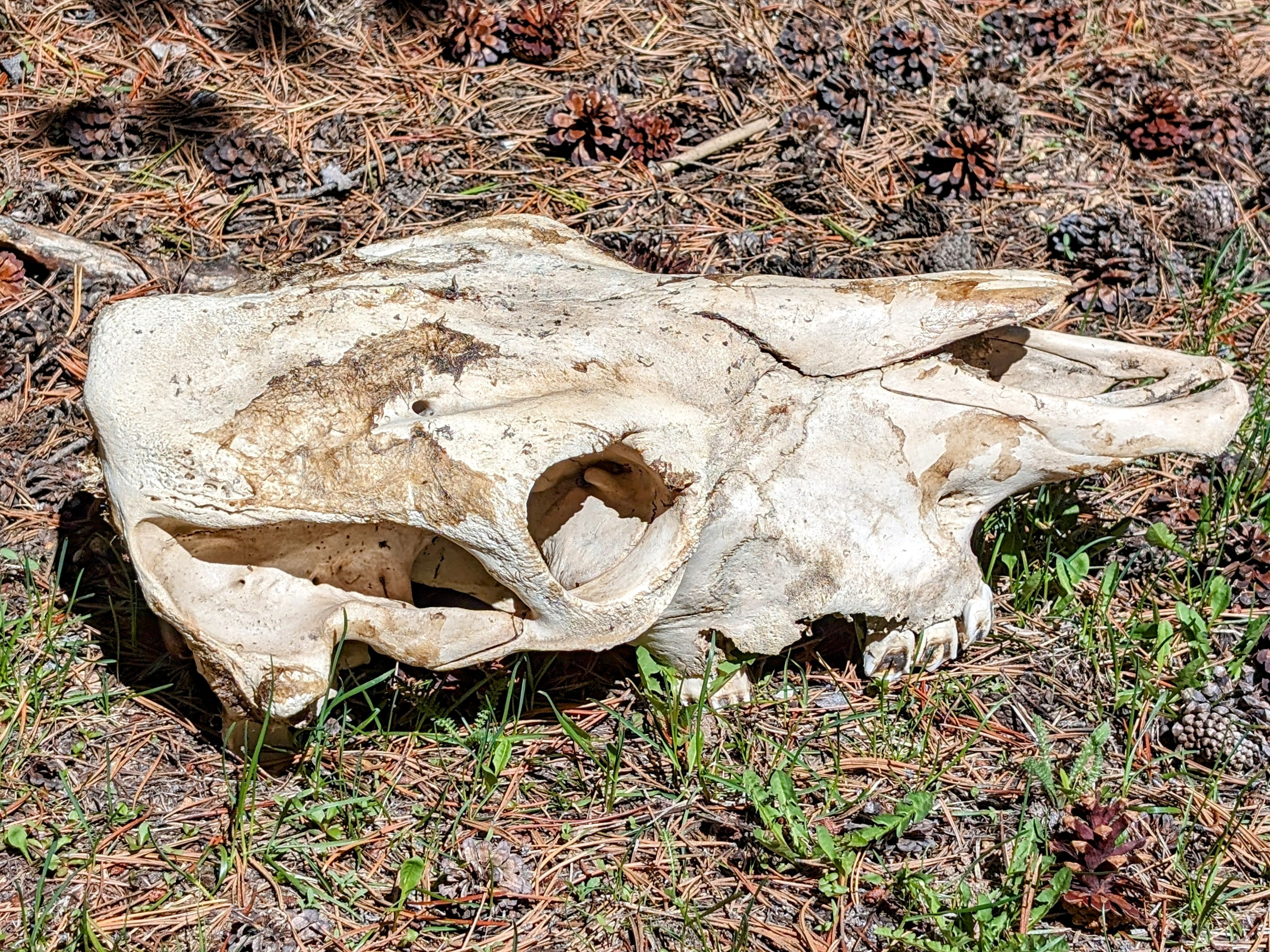
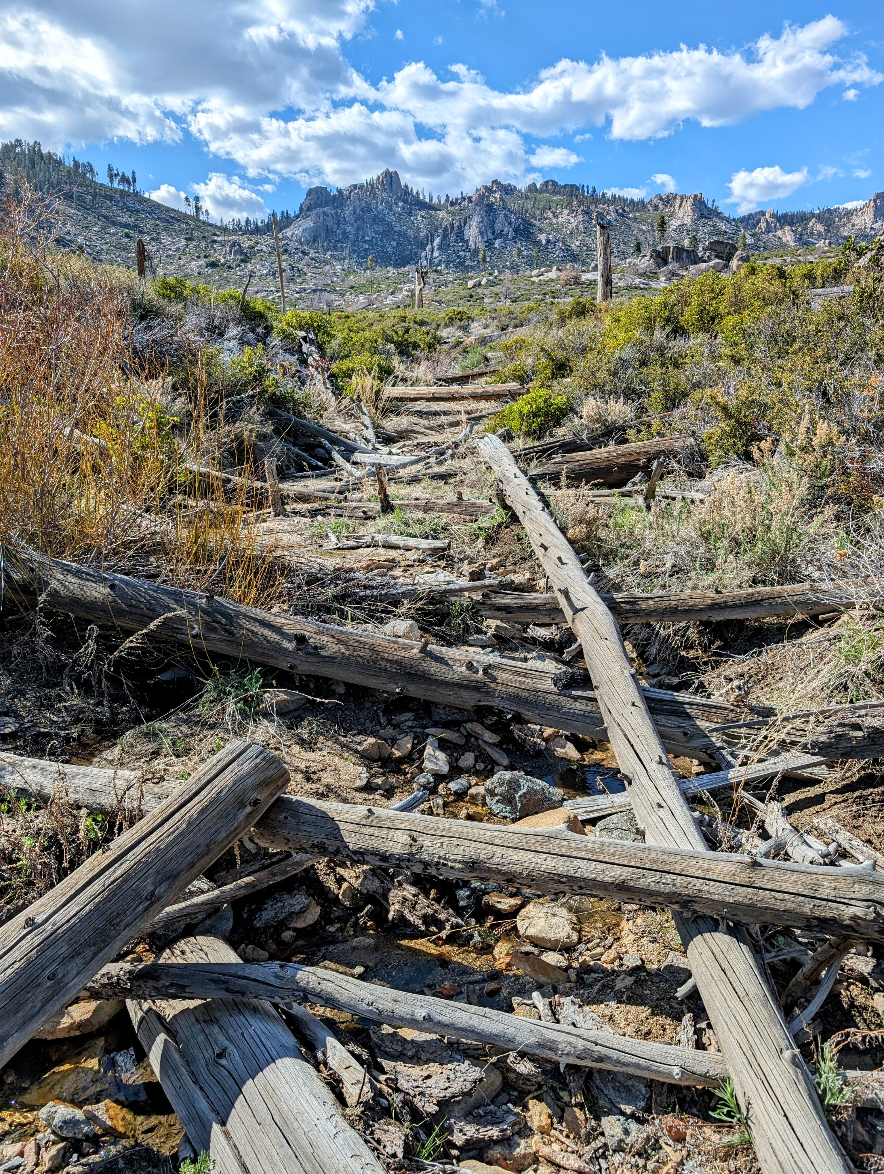
Soon I made it down to Manter Meadow which had some strange infrastructure.
![pxl_20240514_2307476162](https://jimmyjamhikingclub.com/wp-content/uploads/2024/05/pxl_20240514_2307476162.jpg)
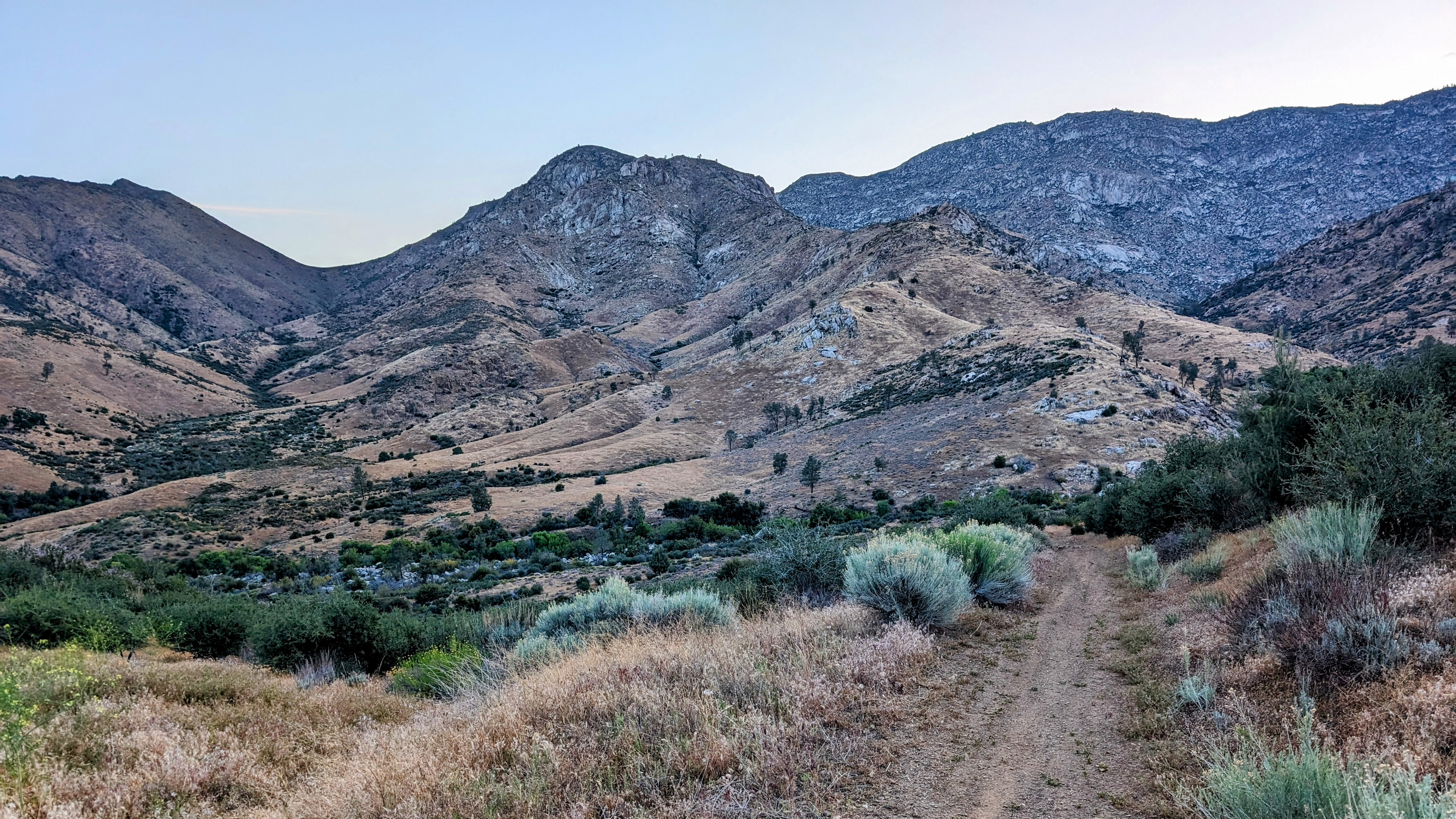
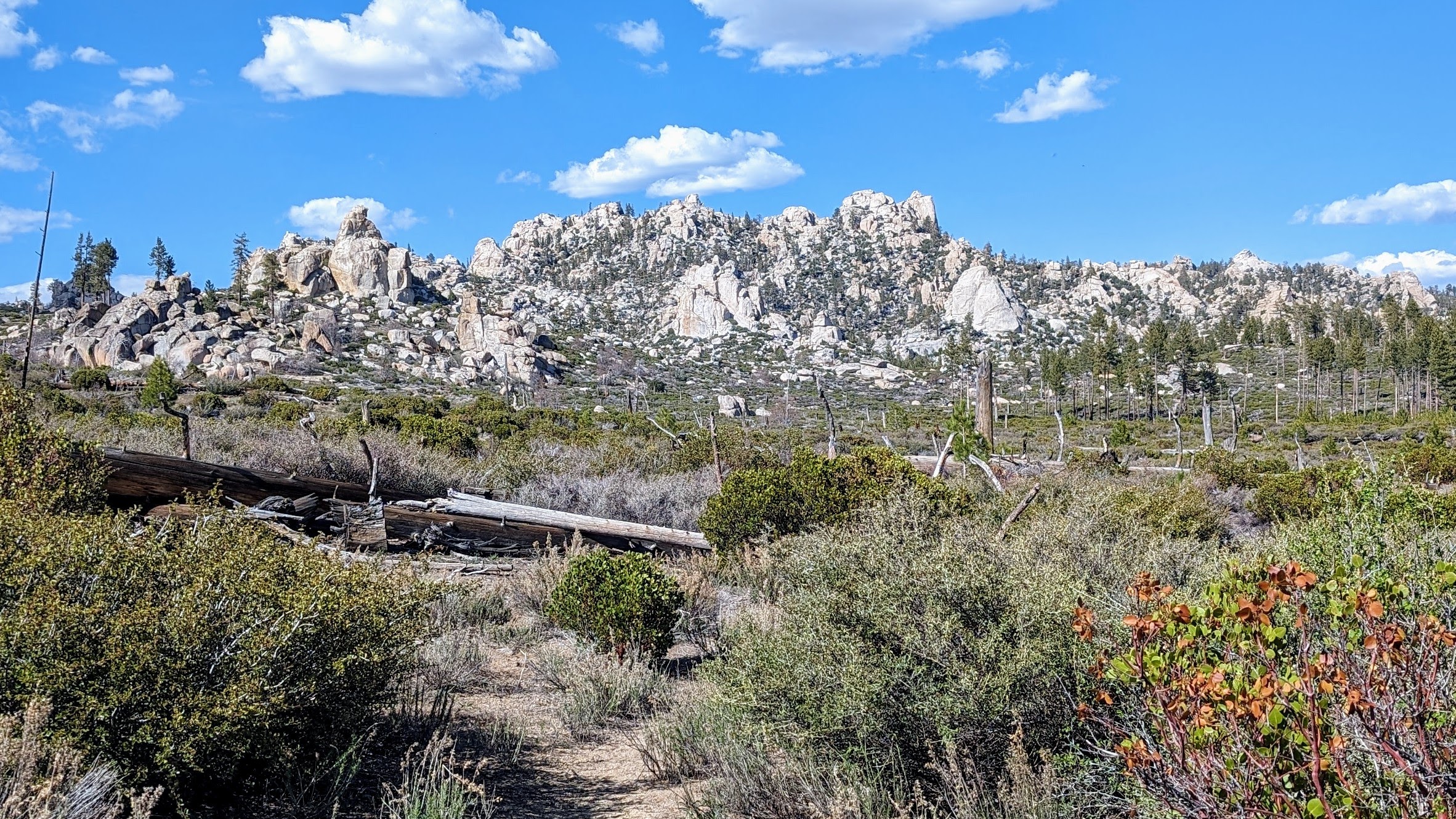
And then I took the Woodpecker Trail into the Dome Land, a series of rocky peaks jutting out over a chaparral-covered burn zone. It was beautiful!
![pxl_20240514_2319390092](https://jimmyjamhikingclub.com/wp-content/uploads/2024/05/pxl_20240514_2319390092.jpg)
![pxl_20240514_2323494412](https://jimmyjamhikingclub.com/wp-content/uploads/2024/05/pxl_20240514_2323494412.jpg)
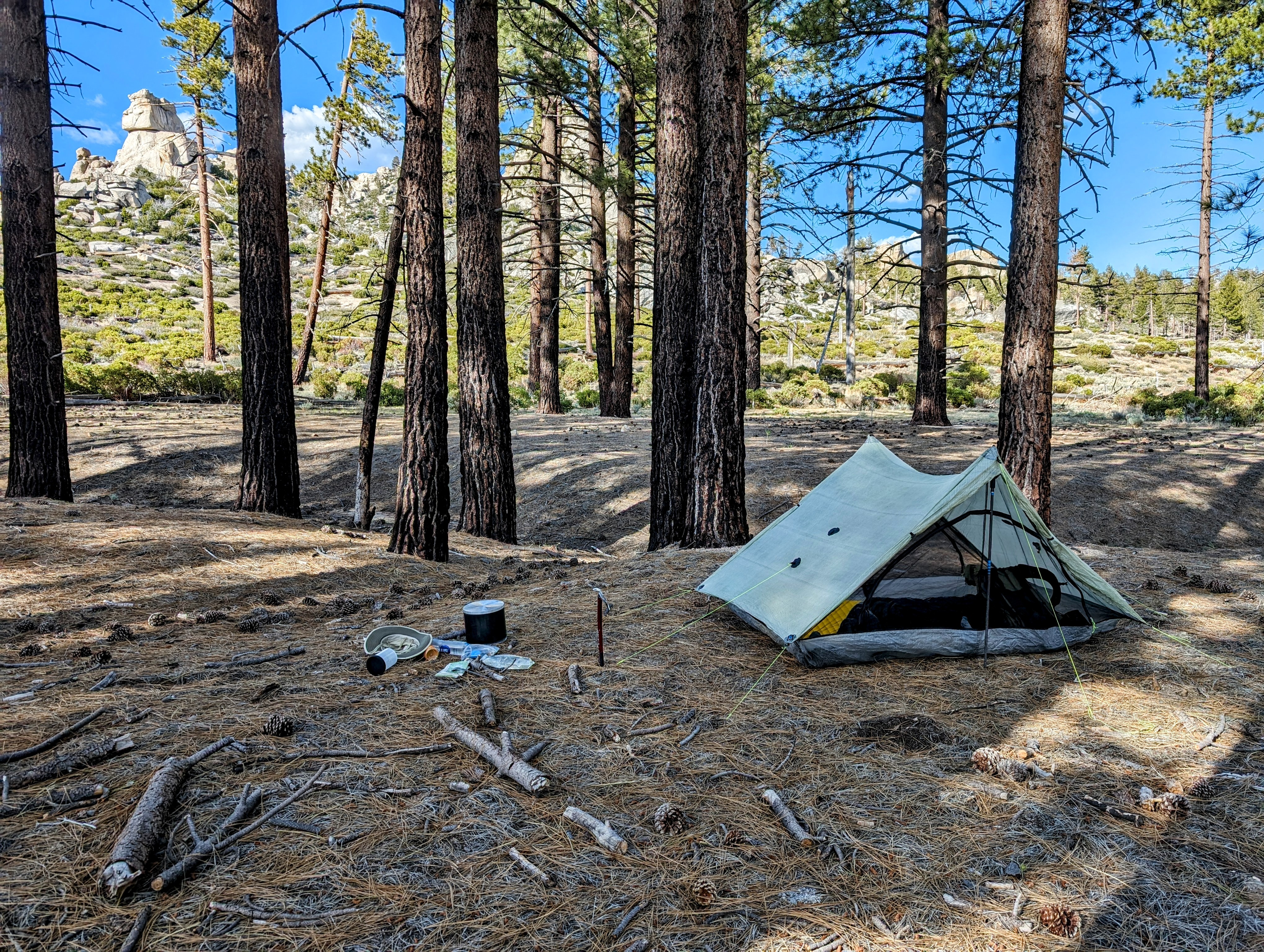
I worried a little about finding a place to camp in the burn zone. But right where I needed to get water was a healthy stand of pines circling a perfectly flat and duff-filled bench above the stream. It is one of my favorite campsites ever!
![pxl_20240515_0009007932](https://jimmyjamhikingclub.com/wp-content/uploads/2024/05/pxl_20240515_0009007932.jpg)
What a lovely day! And I had it all to myself. I didn’t see a single other person out here.
Oh wow – you covered some ground that day!!!
LikeLiked by 1 person