15 May 2024
Woodpecker Trail to Mahogany Creek Trail to Jackass National Recreation Trail
(19 miles, +3,800/-3,300 feet).
Today I hiked the Woodpecker Trail. The official Sequoia National Forest website for this trail notes that “rattlesnakes are prevalent” and the terrain is “very arduous.”
That’s an understatement!
But fortunately it was worth it.
I awoke from my lovely campsite with spectacular views of the Dome Lands on both my east and my west.

I climbed back up to 8,100 feet and I’d like to show you pictures of the descent.
But I was too busy bleeding!
The burn zone on the descent towards Trout Creek was so choked with white thorn ceanothus that I felt like I was swimming more than hiking.
In thorns.
Did I mention the thorns?
I really should bring pants on these trips….
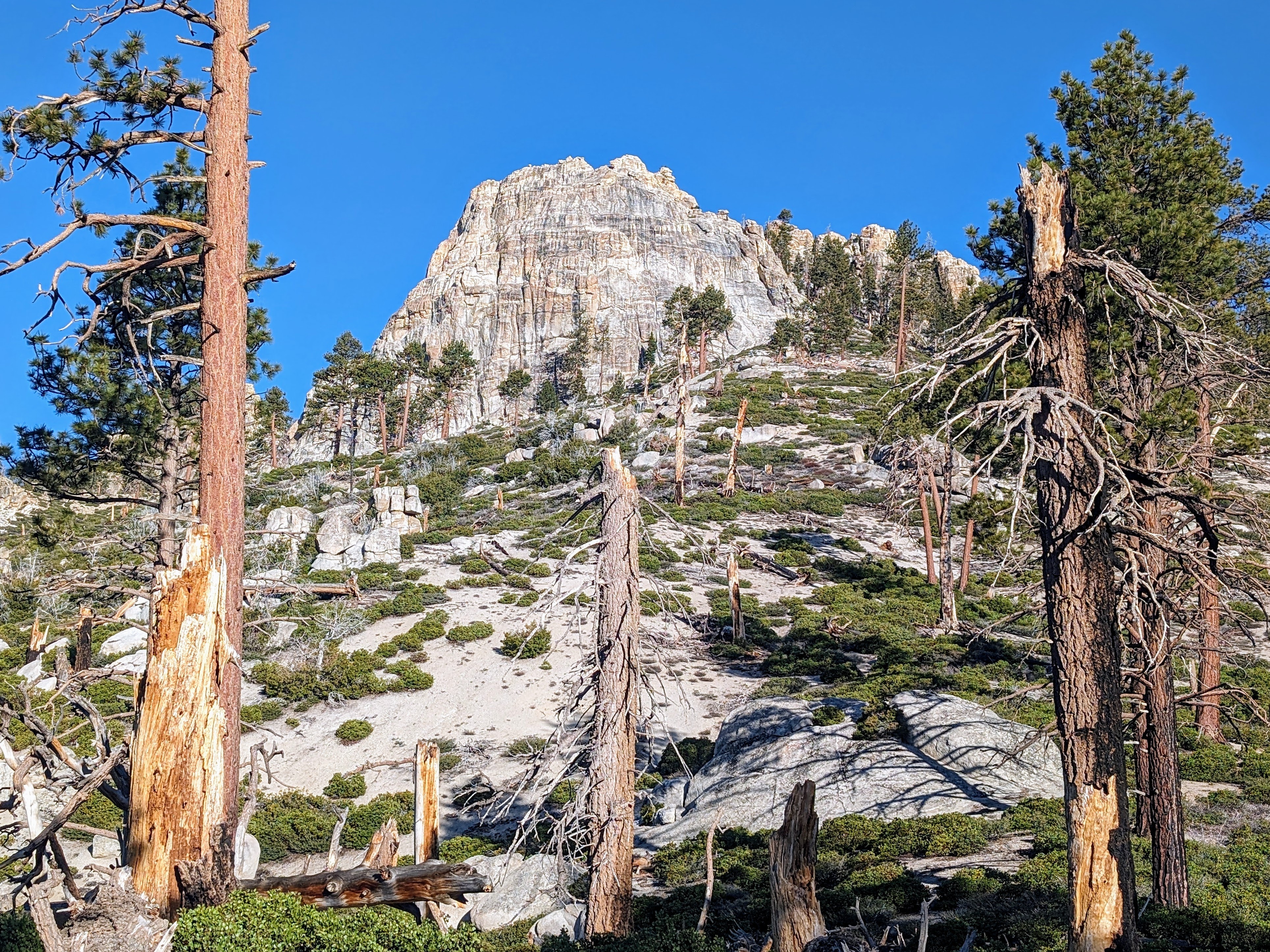
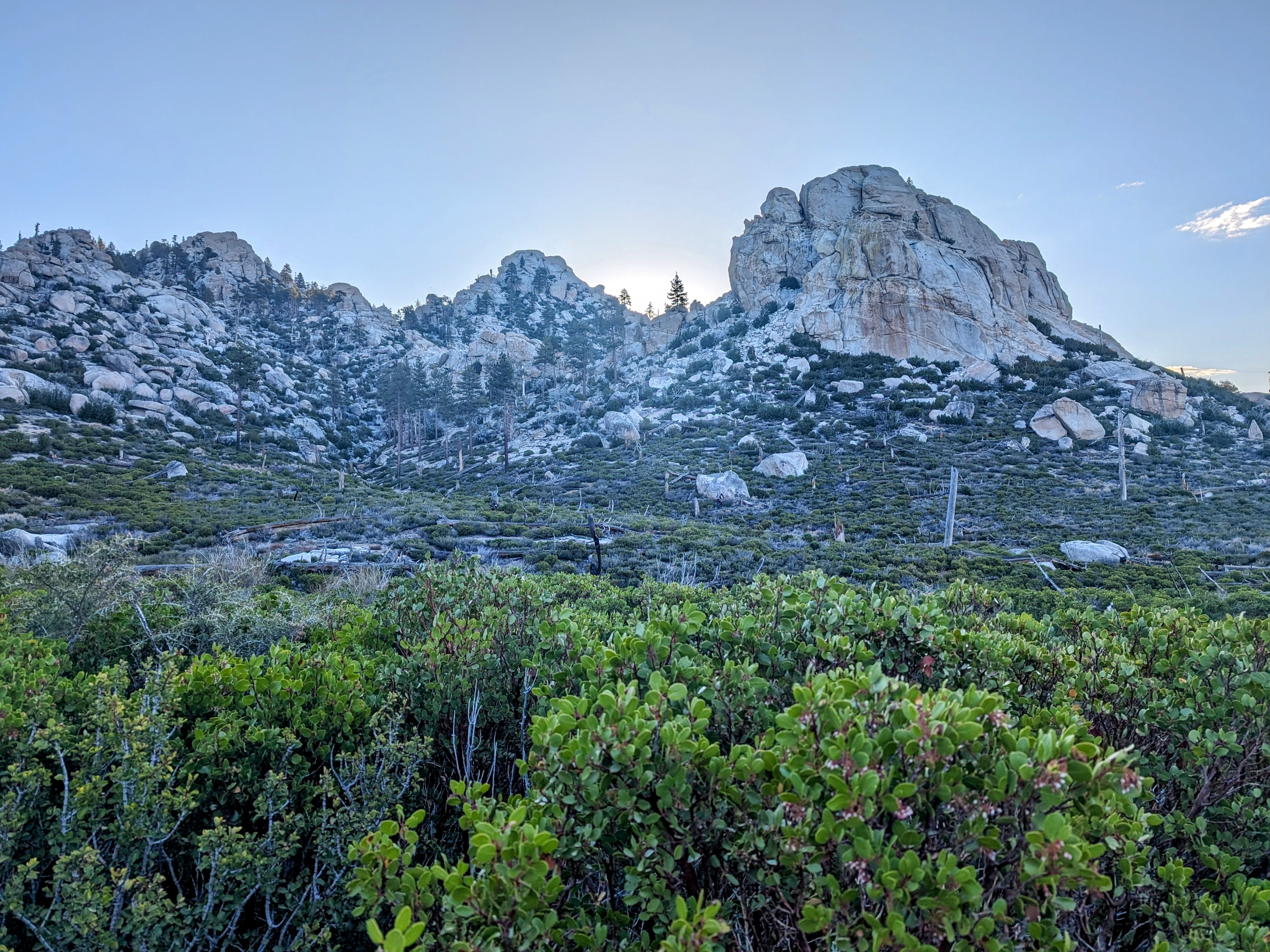
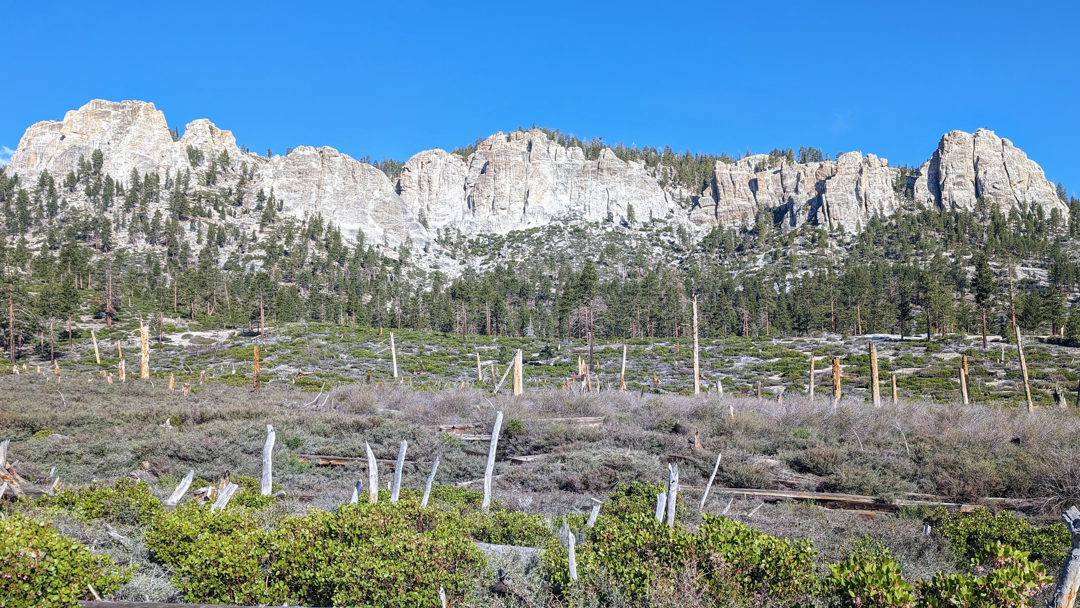
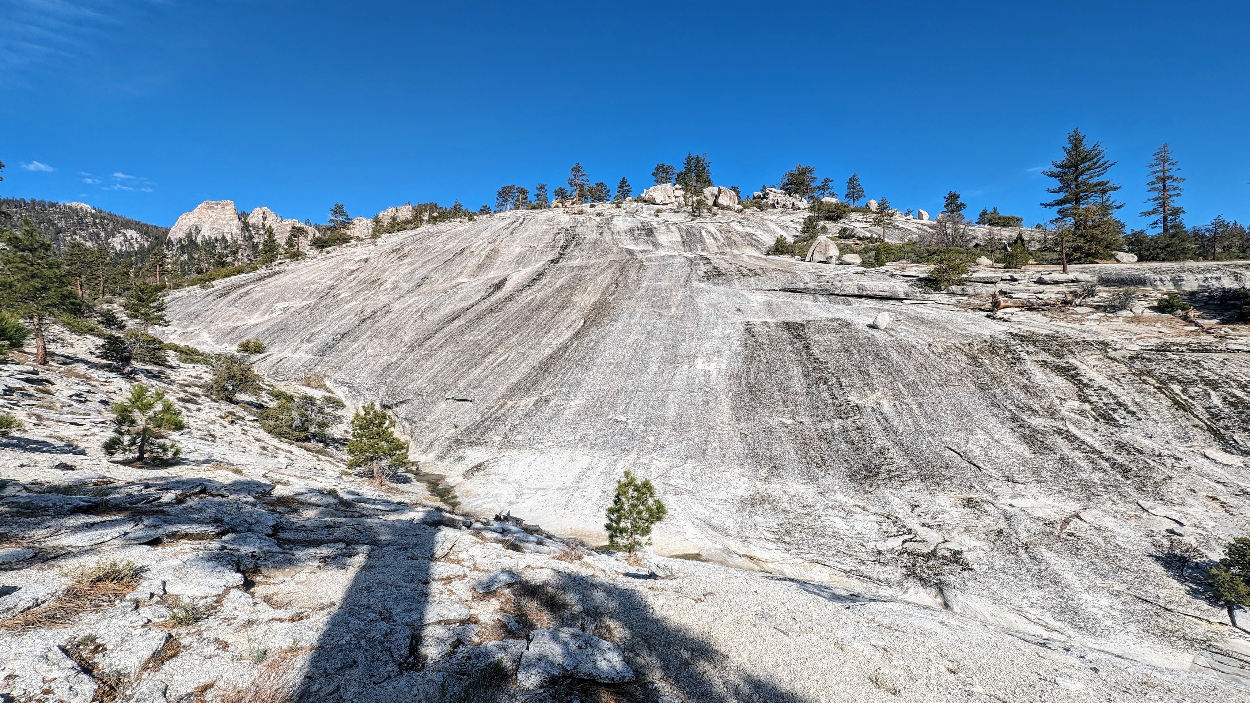
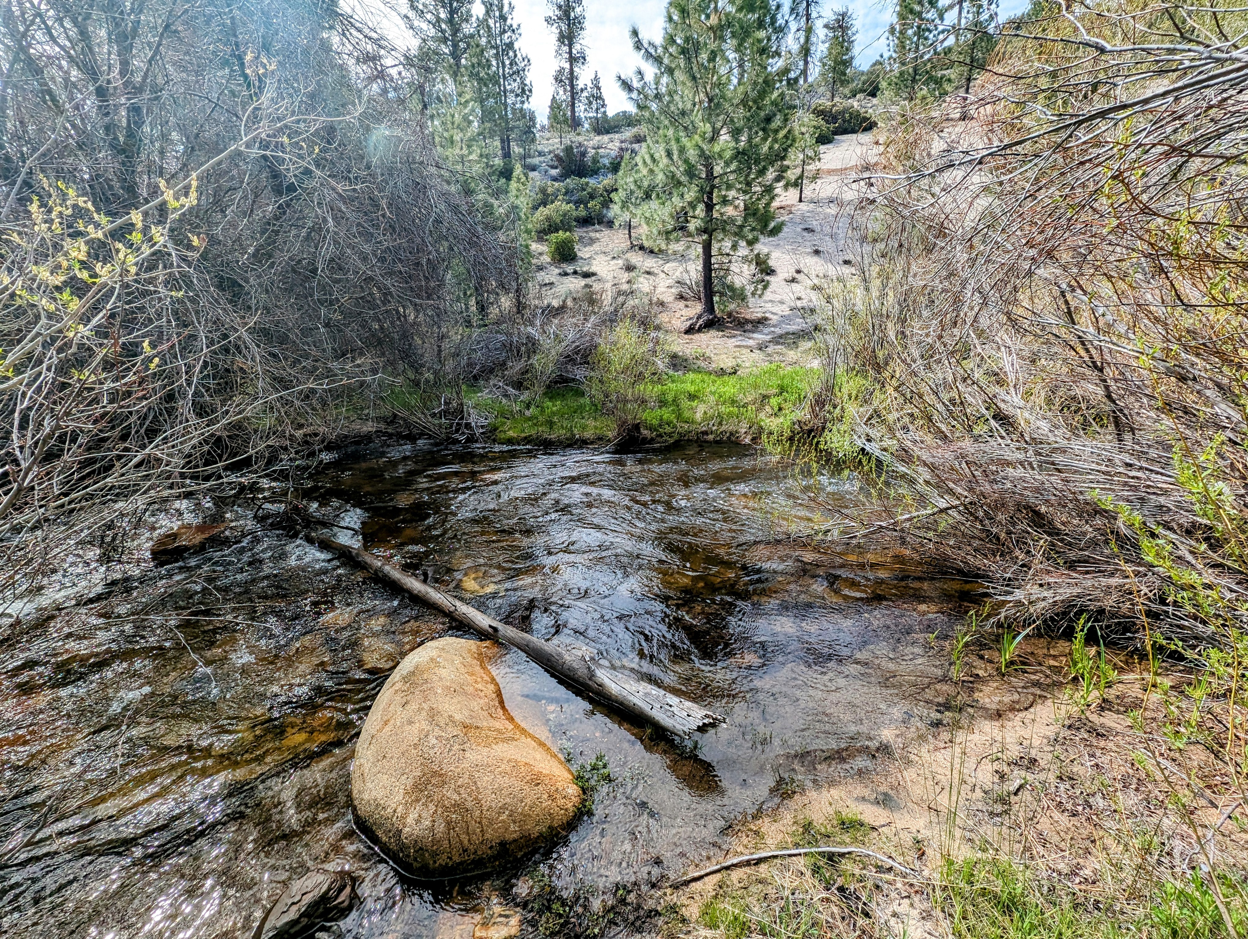
Anyhoo, after a frustrating hour I finally broke out of the bushes onto the crumbling top of an ancient granite dome. Immediately across was a spectacularly large intact dome that dominated my whole view.
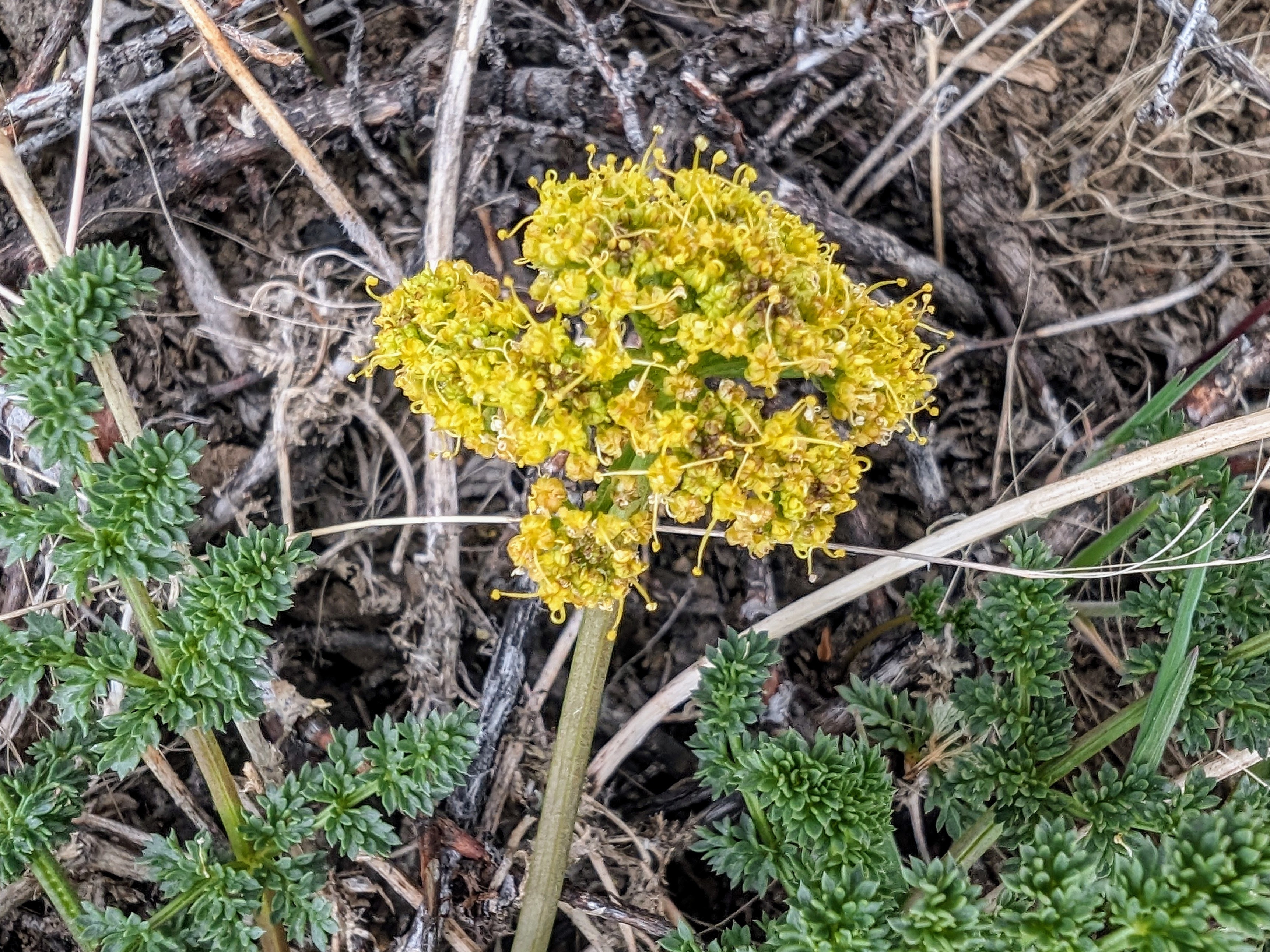
And between the old and new domes was one of the most beautiful staircased streams I have ever seen. Every 10 feet or so there was a waterfall descending into a jacuzzi-sized pools lined with polished alabaster-colored granite.
If it had been 10 degrees warmer I might have jumped in one!
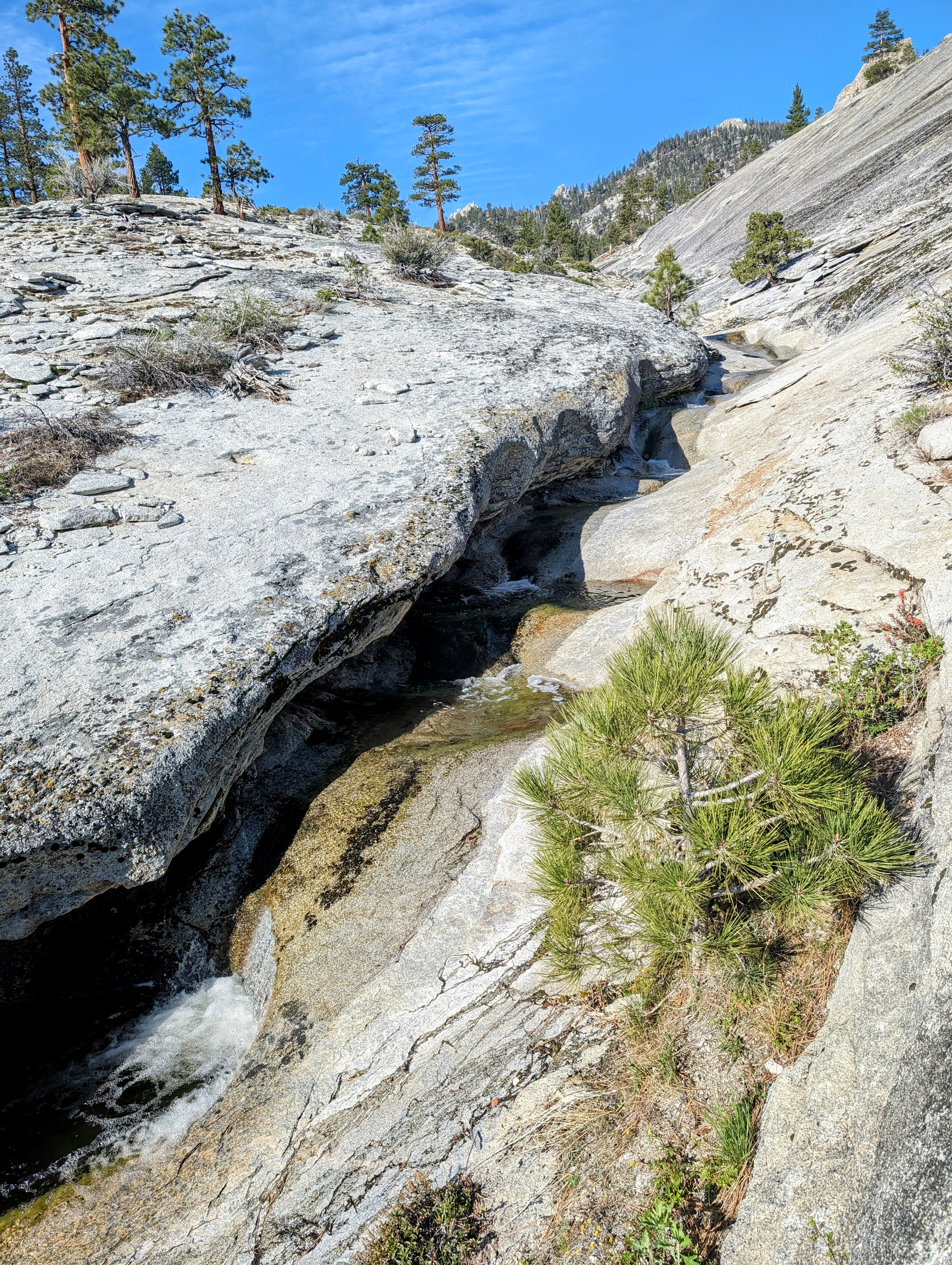
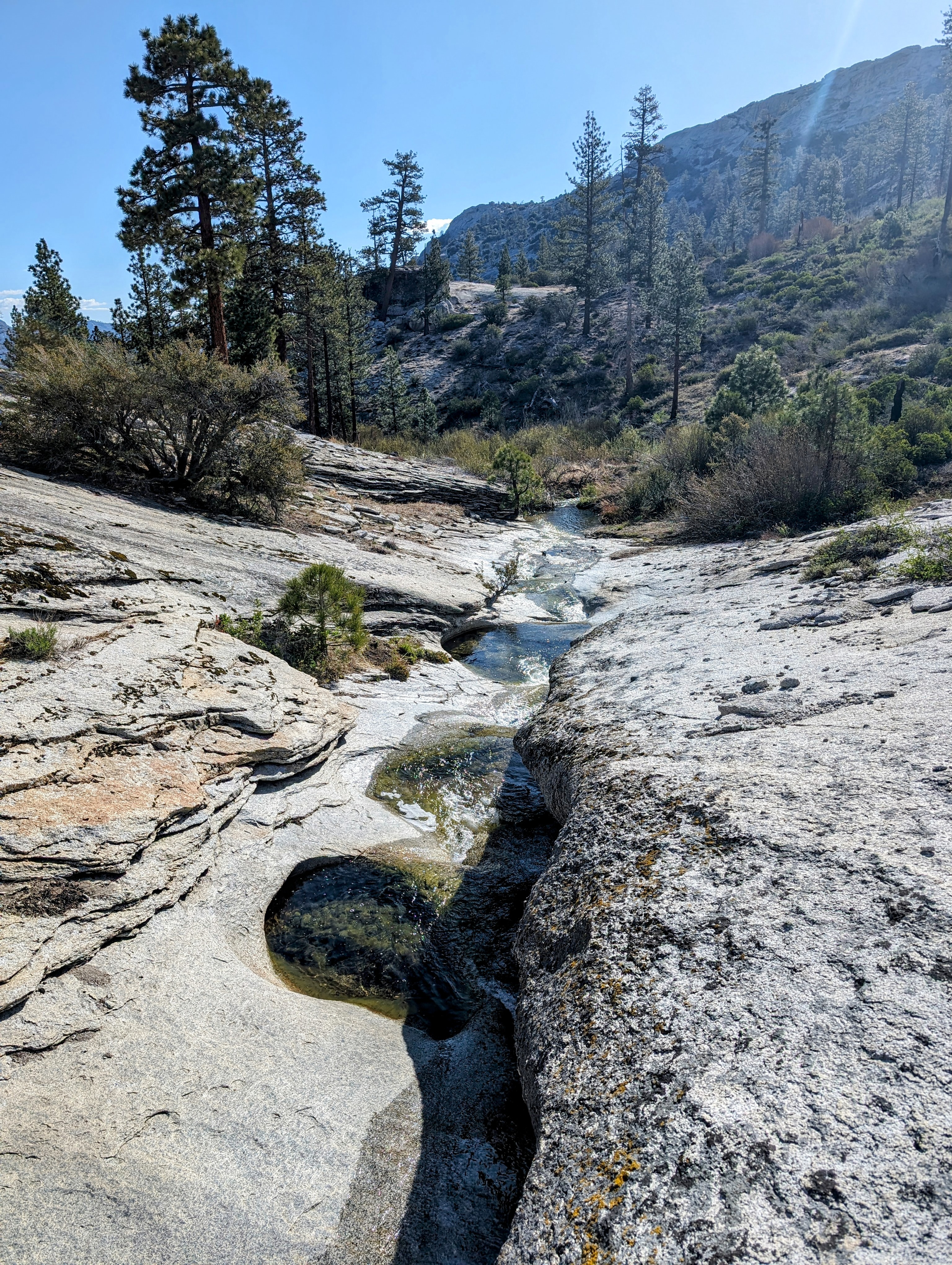
I took a much needed break to collect water here and enjoy.
But then it was time to go.
I lost the ceanothus, but the trail was not much easier to find than it was before. I spent a lot of time checking my GPS to make sure I was on track.

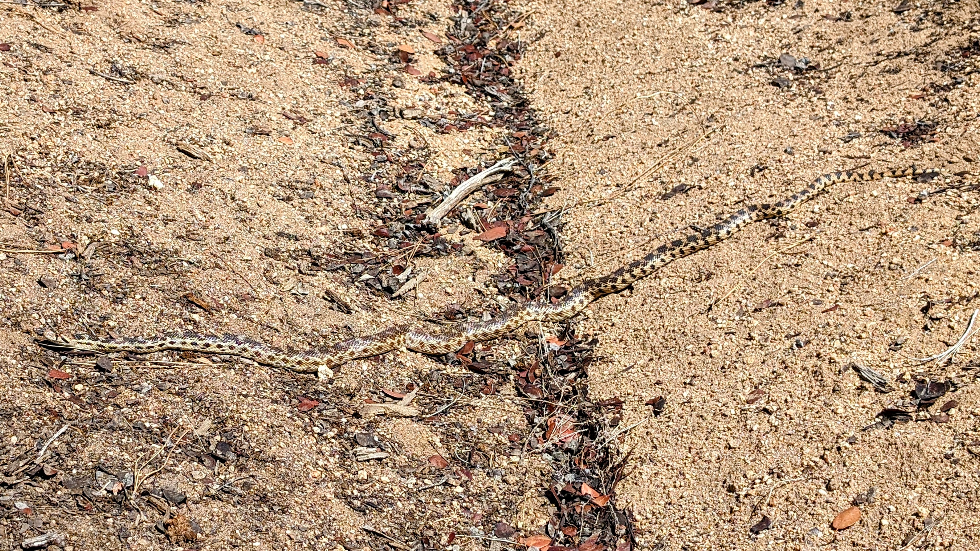
I was surprised when I reached Trout Creek. Until now, all my water crossings have been trivial, but Trout Creek was rushing so fast and deep I briefly wondered if I should turn back.
I tested the deepest part of the crossing with my trekking pole. It came up to a level that matched the top of my thigh.
And it looked like I would be past the deepest part in about 10 feet.
So I decided to go for it.
I felt really good about making it across. I still get flashbacks to Fish Creek that make water crossings (especially solo!) difficult for me. So it was nice to manage a difficult crossing without incident.
From there I had to climb back up two thousand feet to the end of the Woodpecker Trail at Sherman Pass Road.
I’d like to say that the trail was easier to follow. But it wasn’t. I probably spent more time looking for the trail than hiking on it!

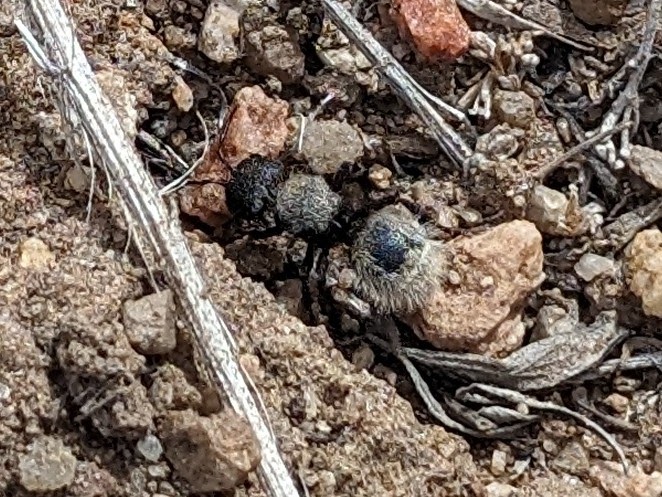
I also saw on trail what I thought was another rattlesnake. I bushwhacked around it, but later I looked closer at my photo and saw that it was just a gopher snake.
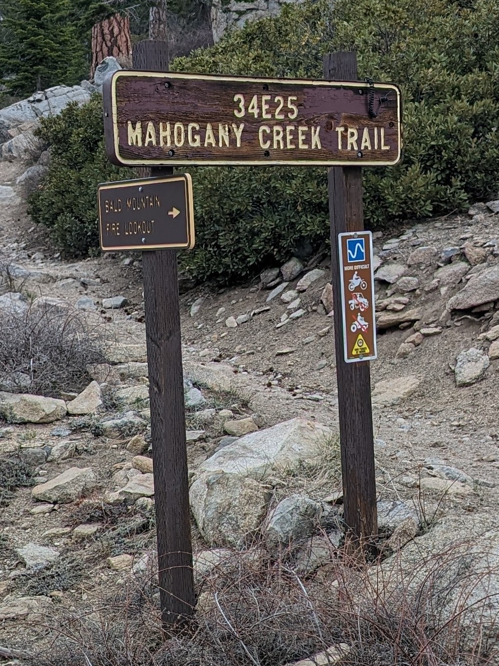
By 1pm I made it to the Mahogany Creek Trail, an OHV path that follows Sherman Pass Road before descending next to the creek.
And then it started to rain.

I waited out the heaviest part of the storm for about half an hour under a fir tree. It was a mix of rain and graupel.
And then I pressed on.
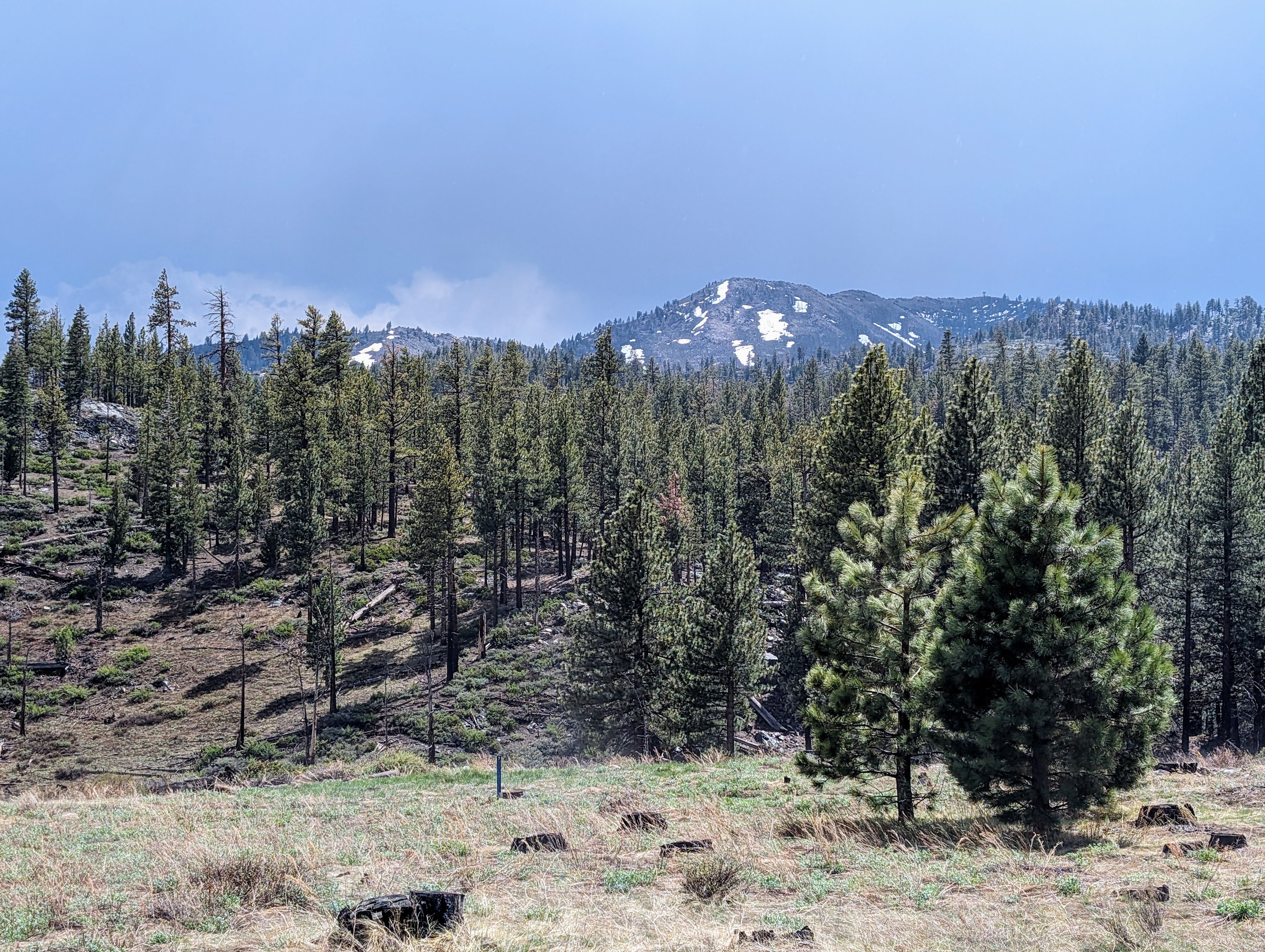
It was blue skies for a while, but then the sky darkened again as I approached Jackass Creek.

Shortly before 4 it started to thunder again, so I hastily set up my tent.

I made it inside before it rained too much and got cozy in my sleeping bag. But it was a long, cold, wet night.
