17 May 2024
Mulkey Meadow - Templeton Meadow Trail to Trail Pass to Horseshoe Meadow to Horseshoe Meadow Road
(23 miles, +3,000/-6,200 feet).
Last night was my coldest yet — 36 degrees according to my Garmin.
I experimented with different positions and various states of dress last night and settled on being in my bag with my puffy on, but not zipped up. That kept me warm enough.
But now I have to get moving again. And preferably with dry feet!
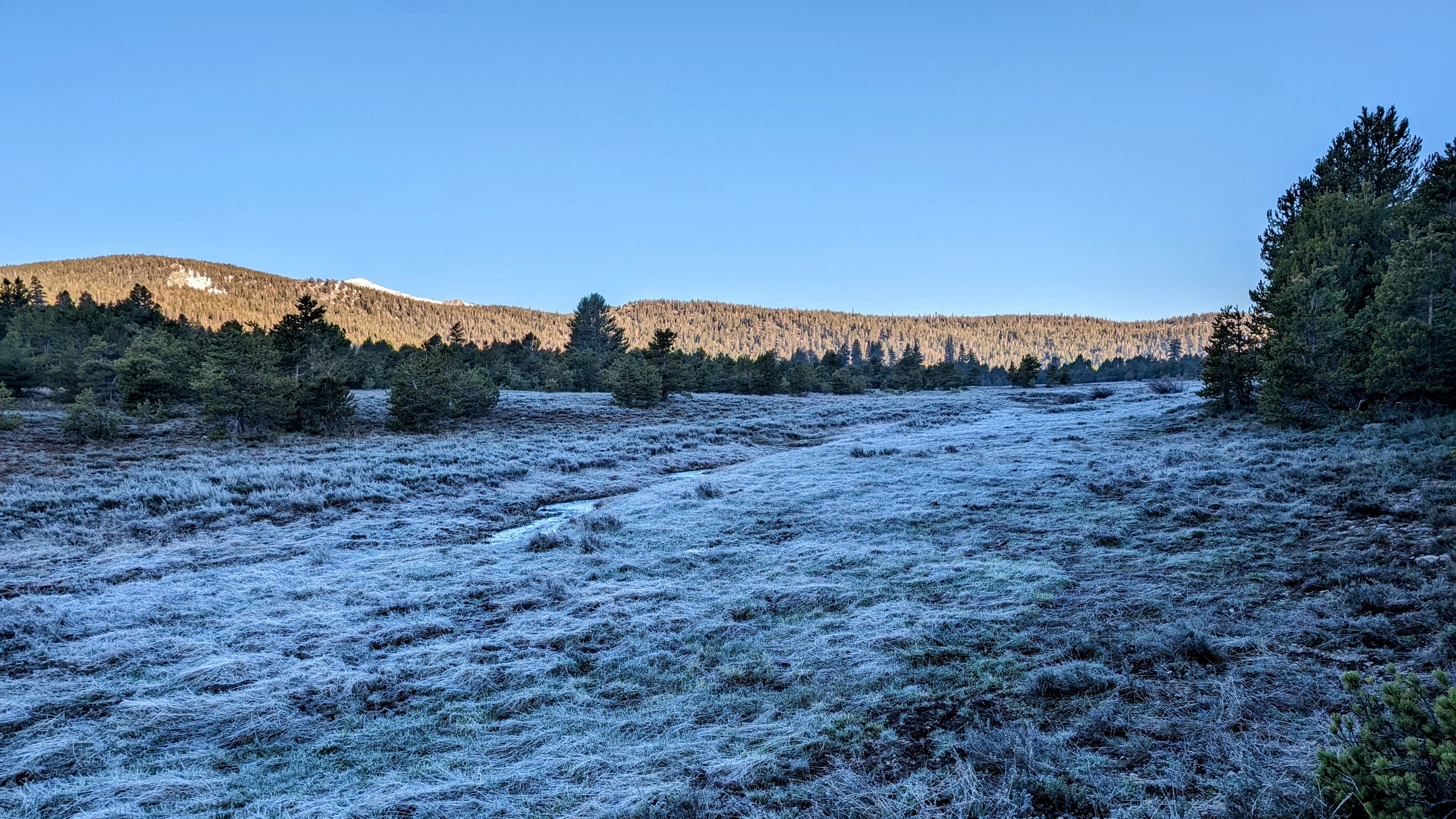
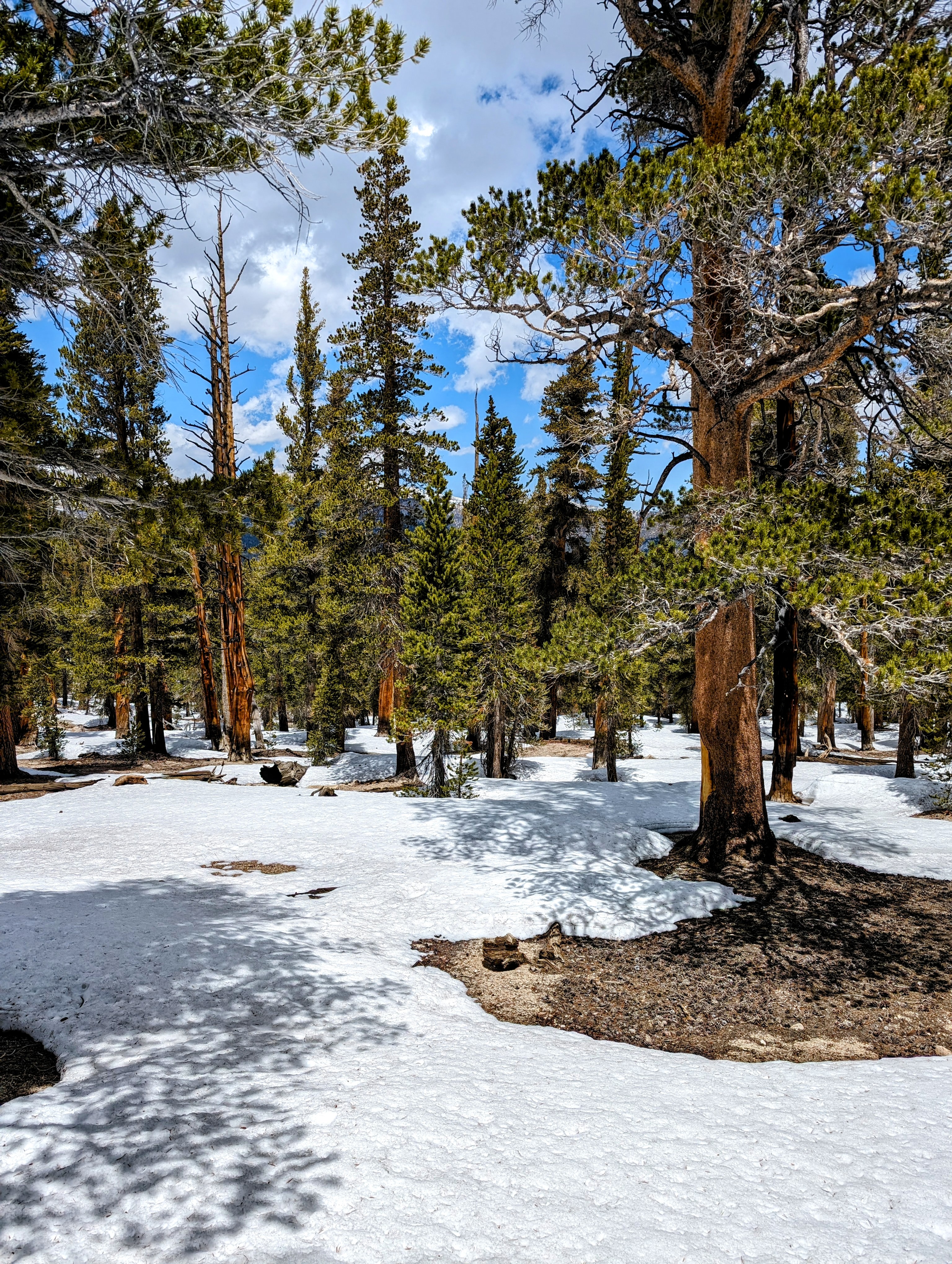
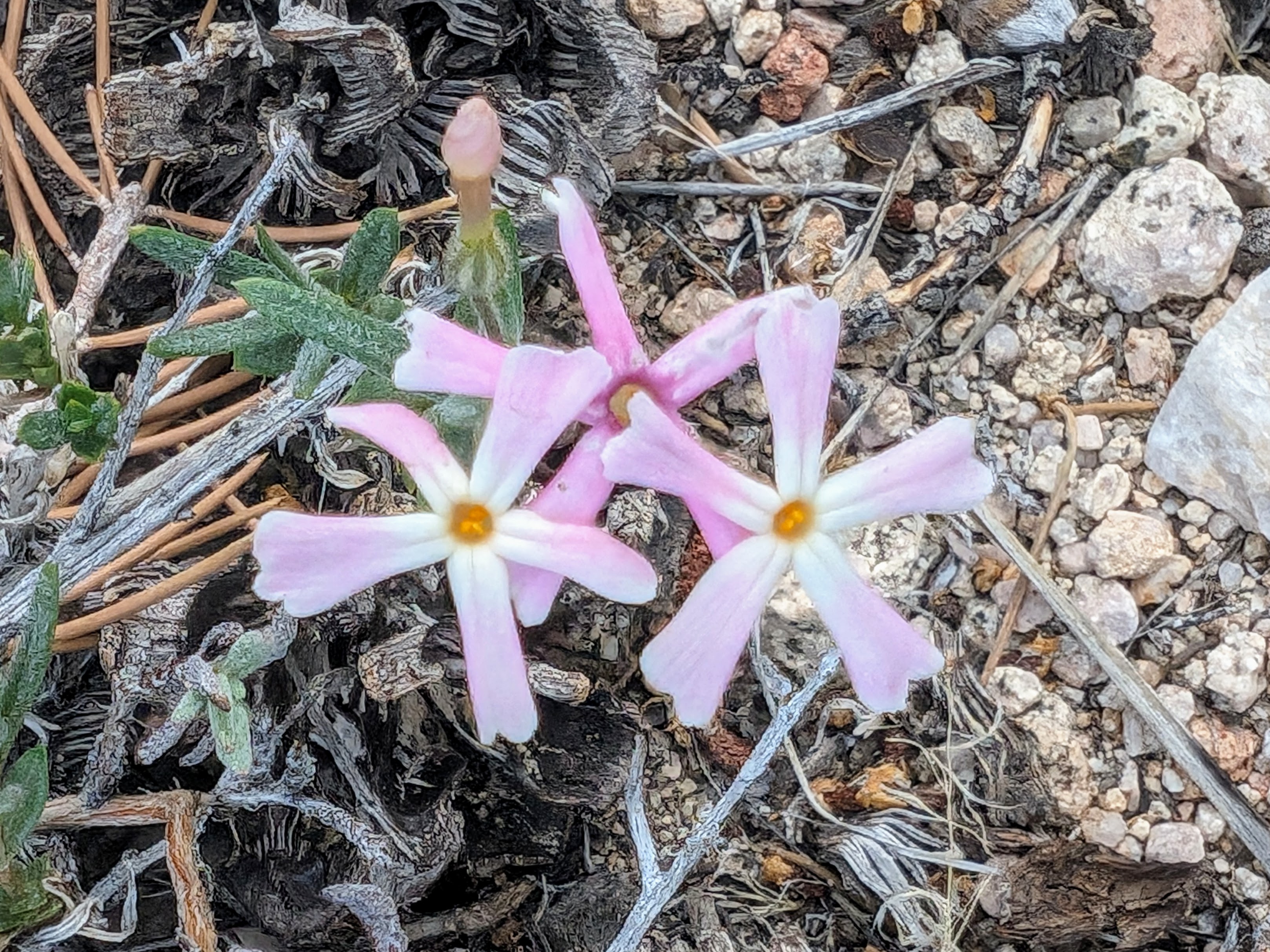
To avoid the frost in the meadow I traveled cross country in the pines at the edge.
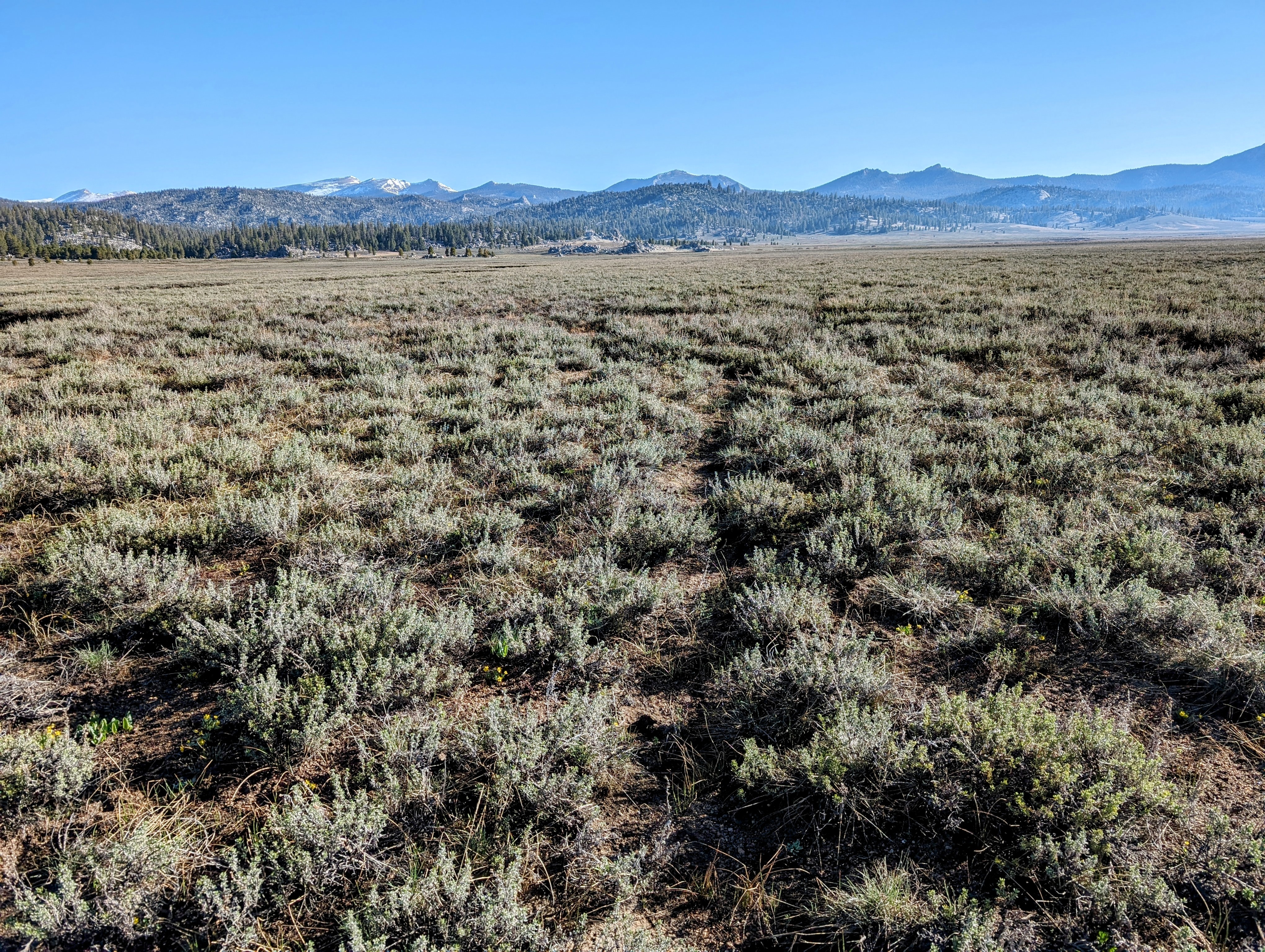
By the time I got to Templeton Meadows proper, the frost had burned off and I followed the Ramshaw Meadow Trail across them.
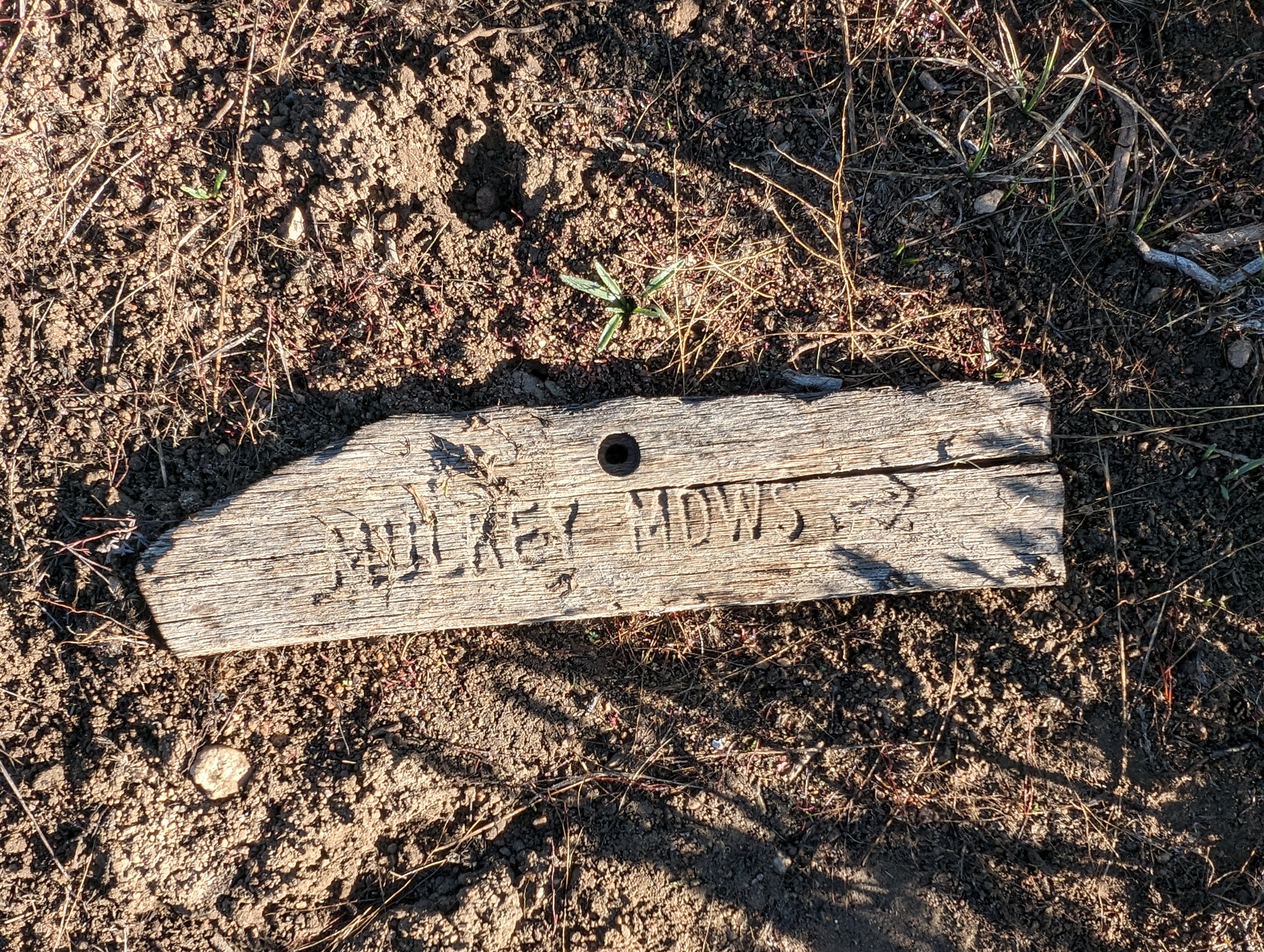
But when it was time to turn north on the trail to Mulkey Meadows, it was a bit tough to find.
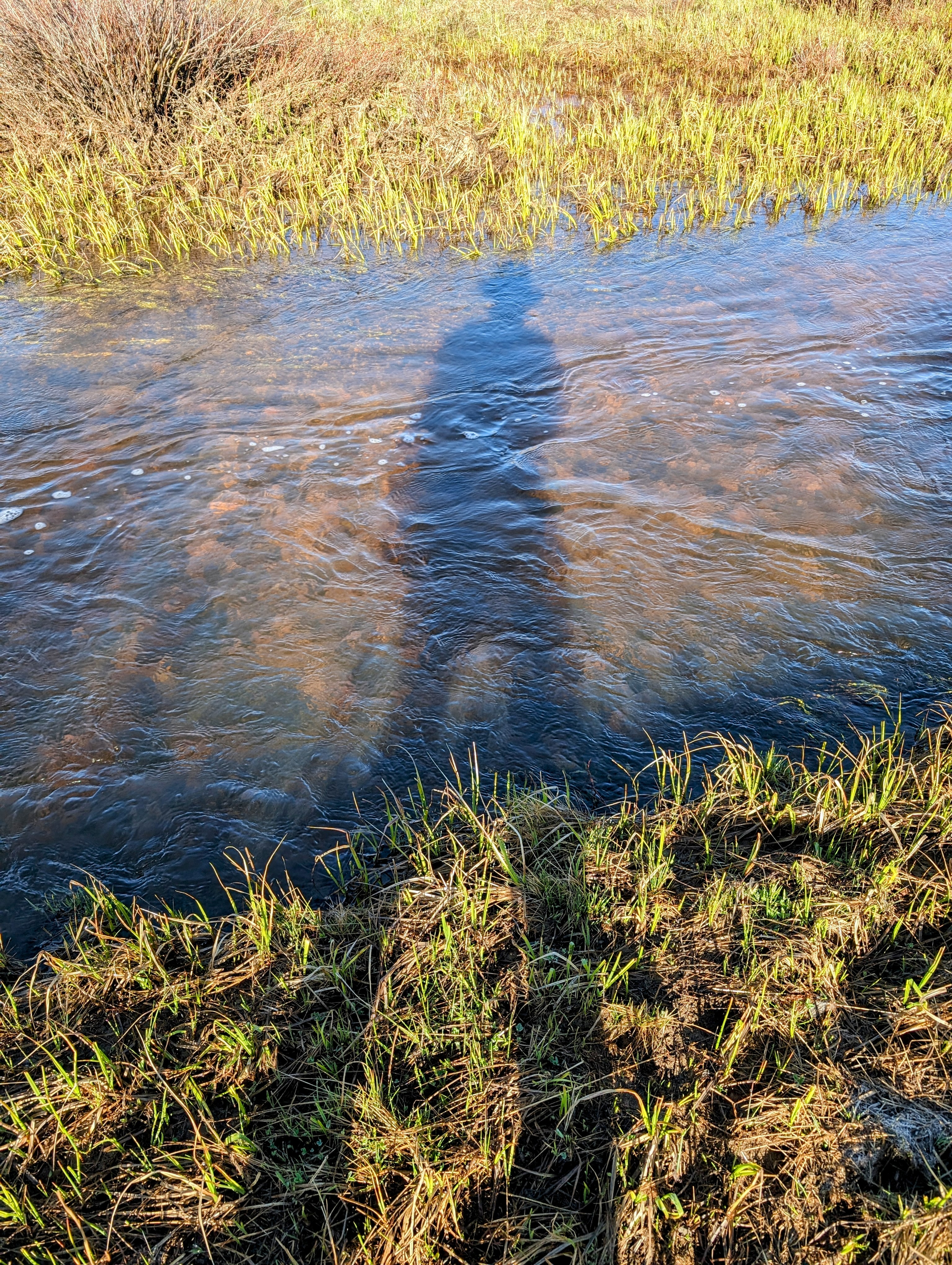
Fortunately, the cross country was pretty easy, so even when I lost the trail I made good progress. The main challenge was avoiding swampy areas, but I had good success keeping dry feet until I had to cross the South Fork Kern.
The crossing went much better than I thought it would. It was narrower, slower, and a little less deep than the Trout Creek crossing. But I was definitely relieved to be on the other side.
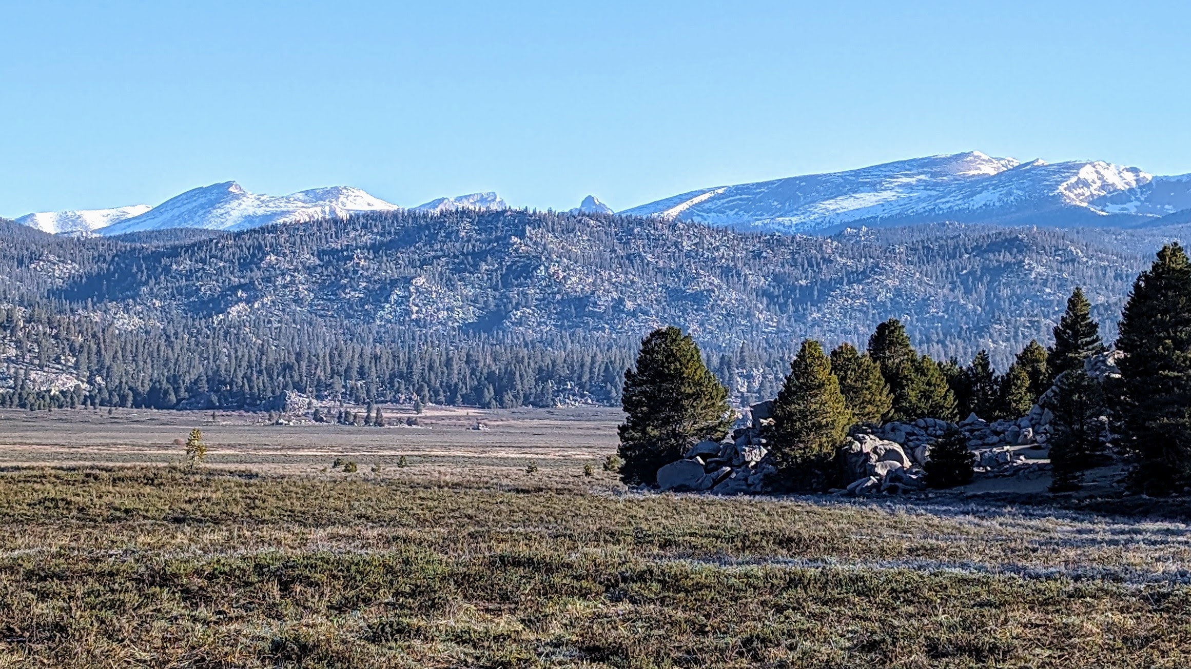
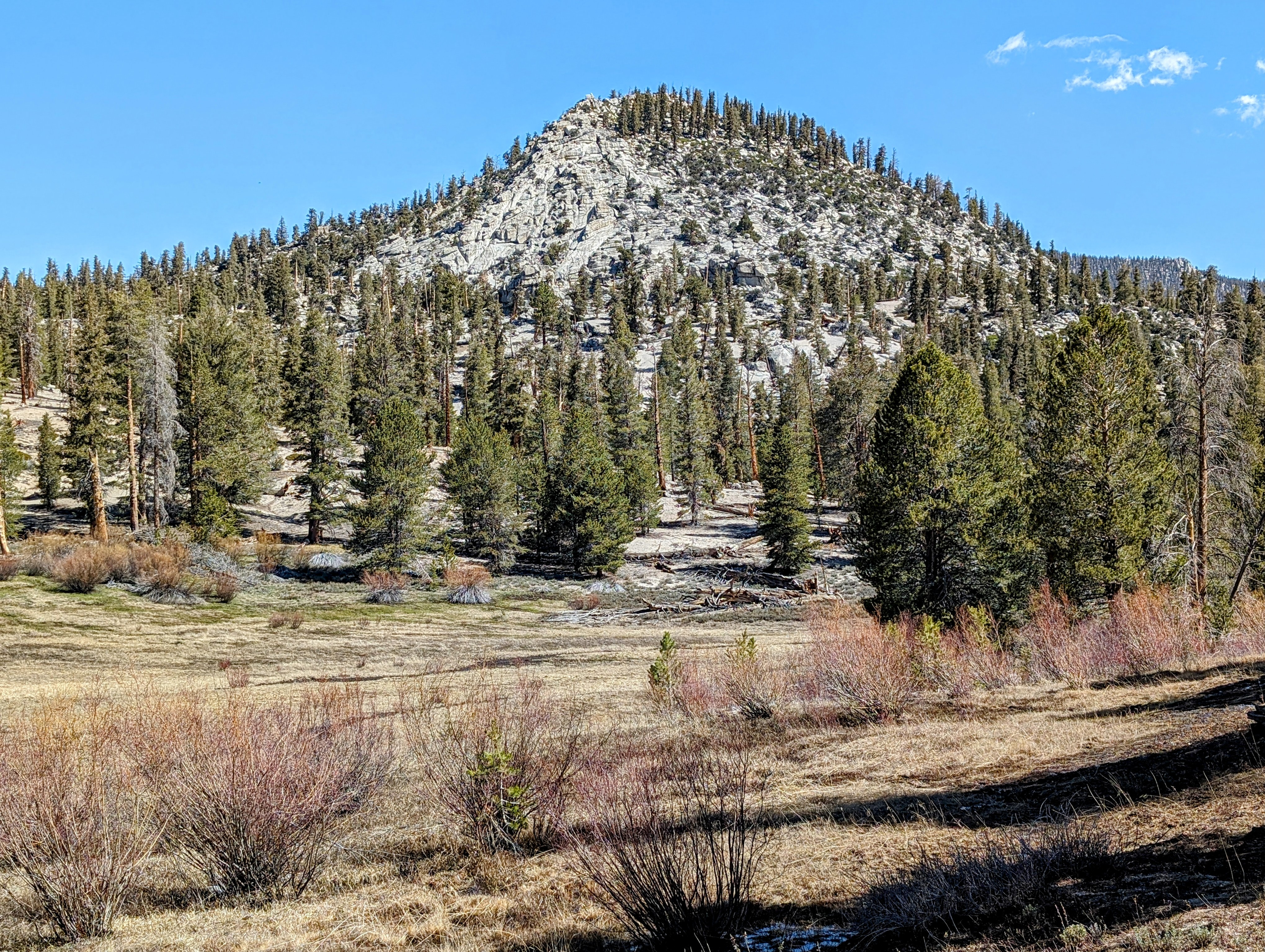
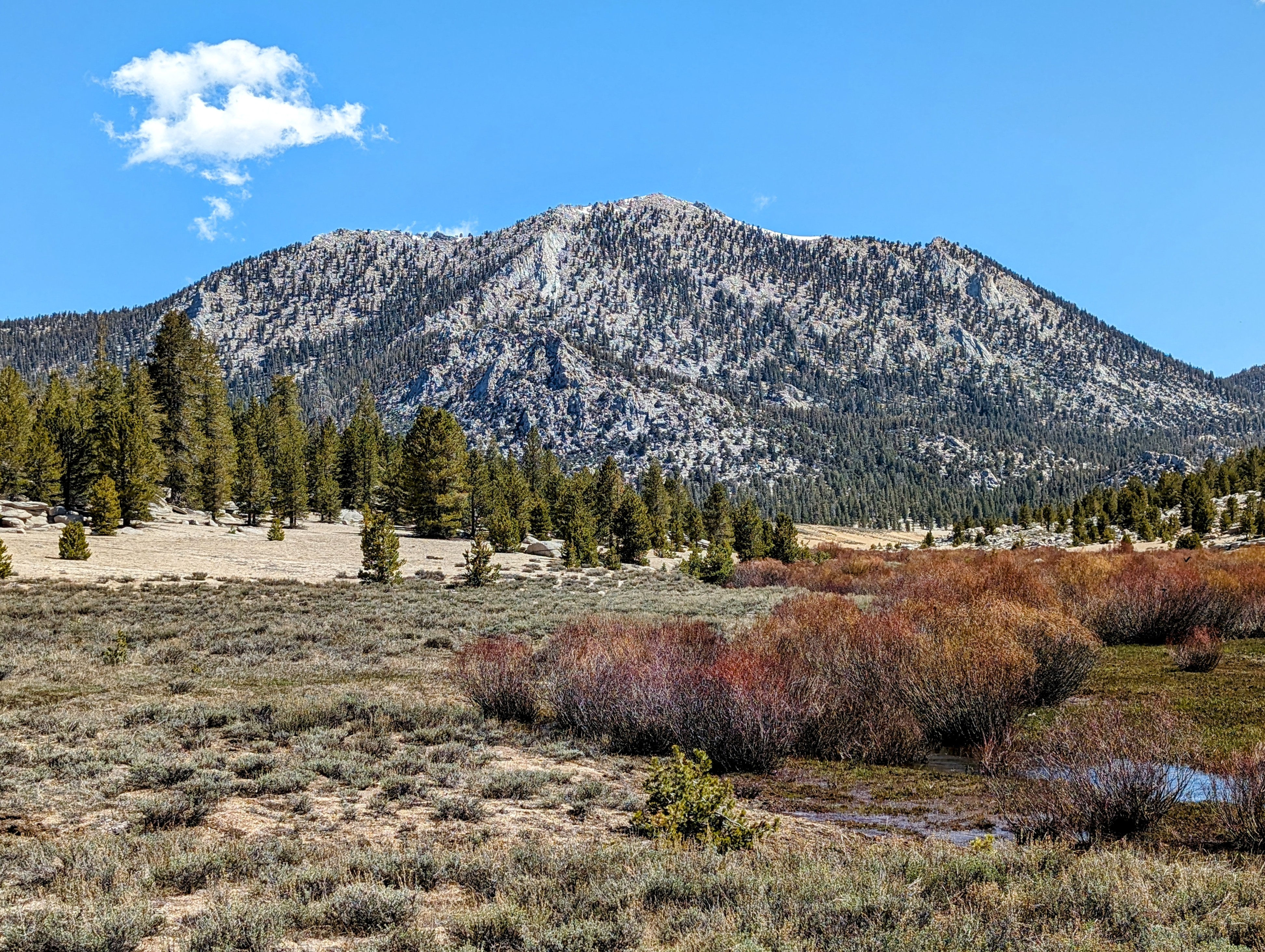
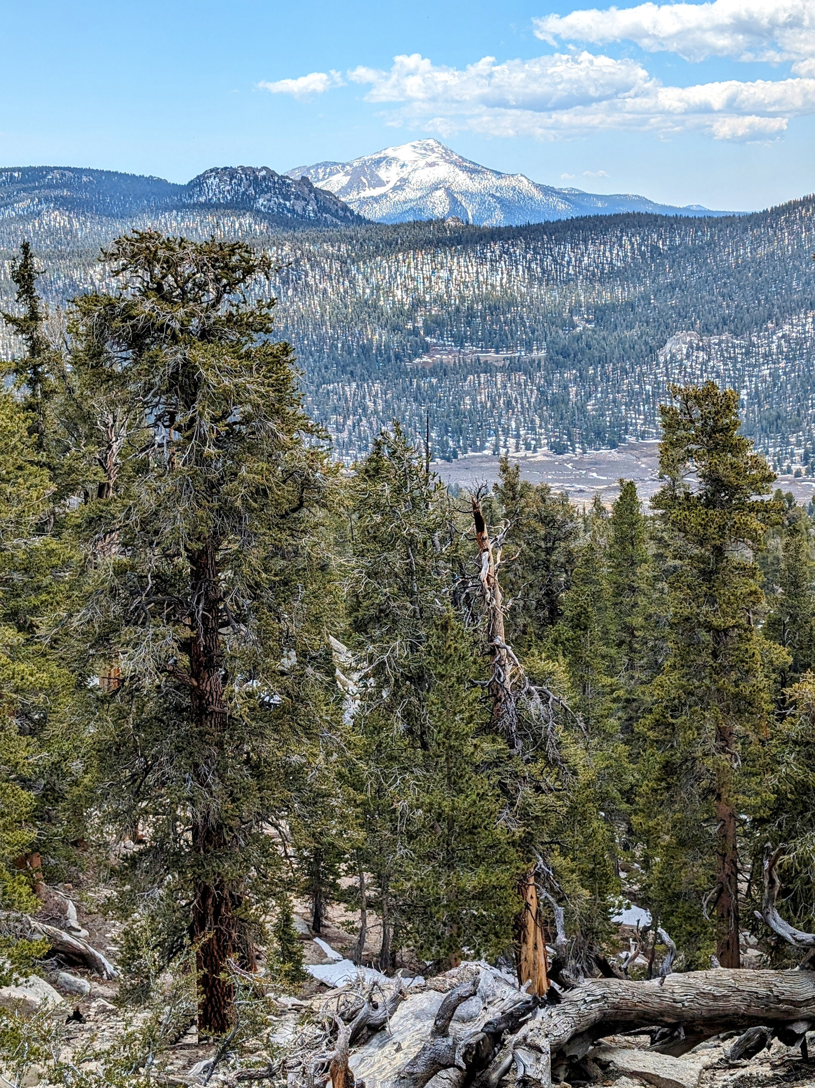
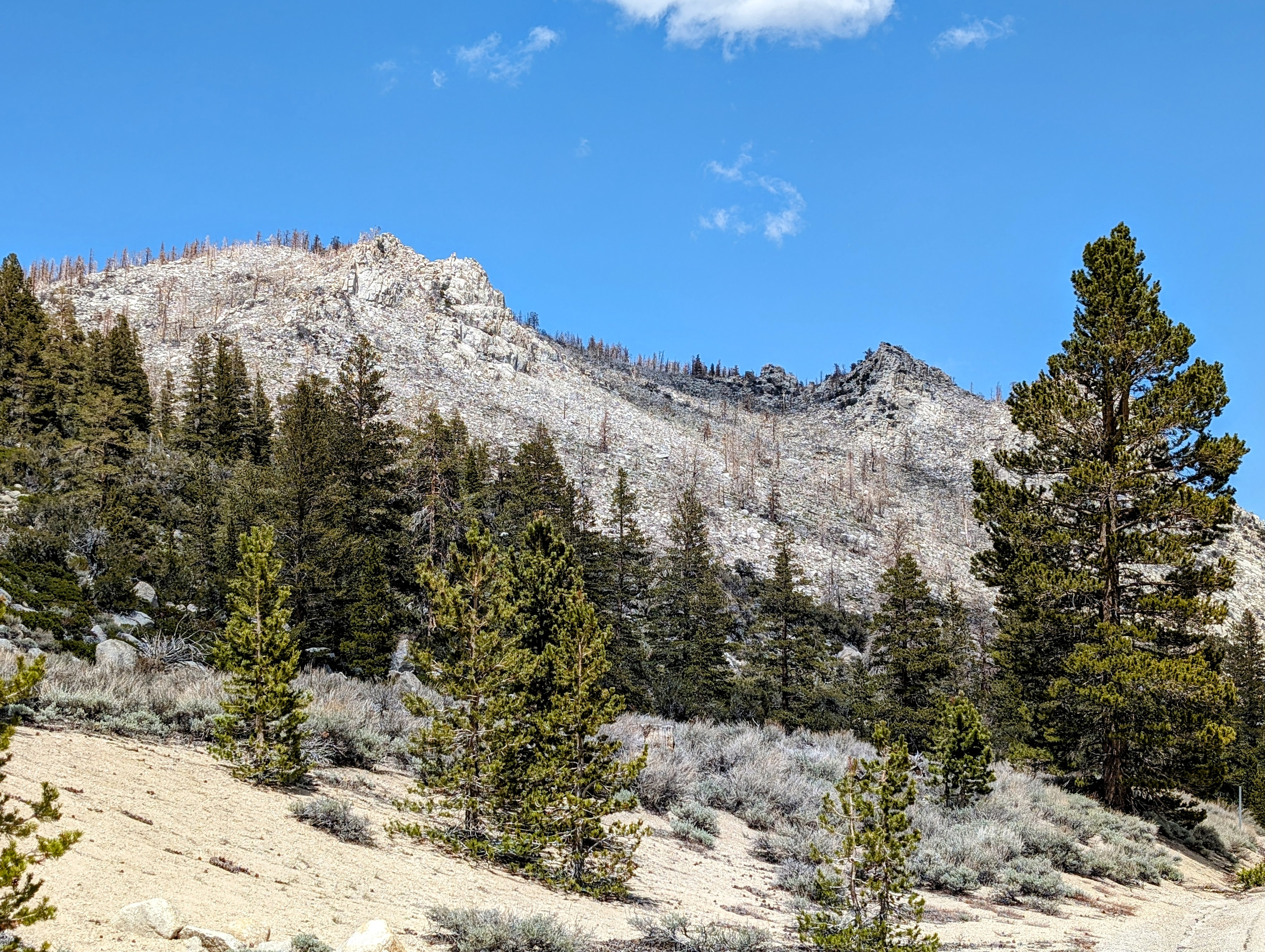
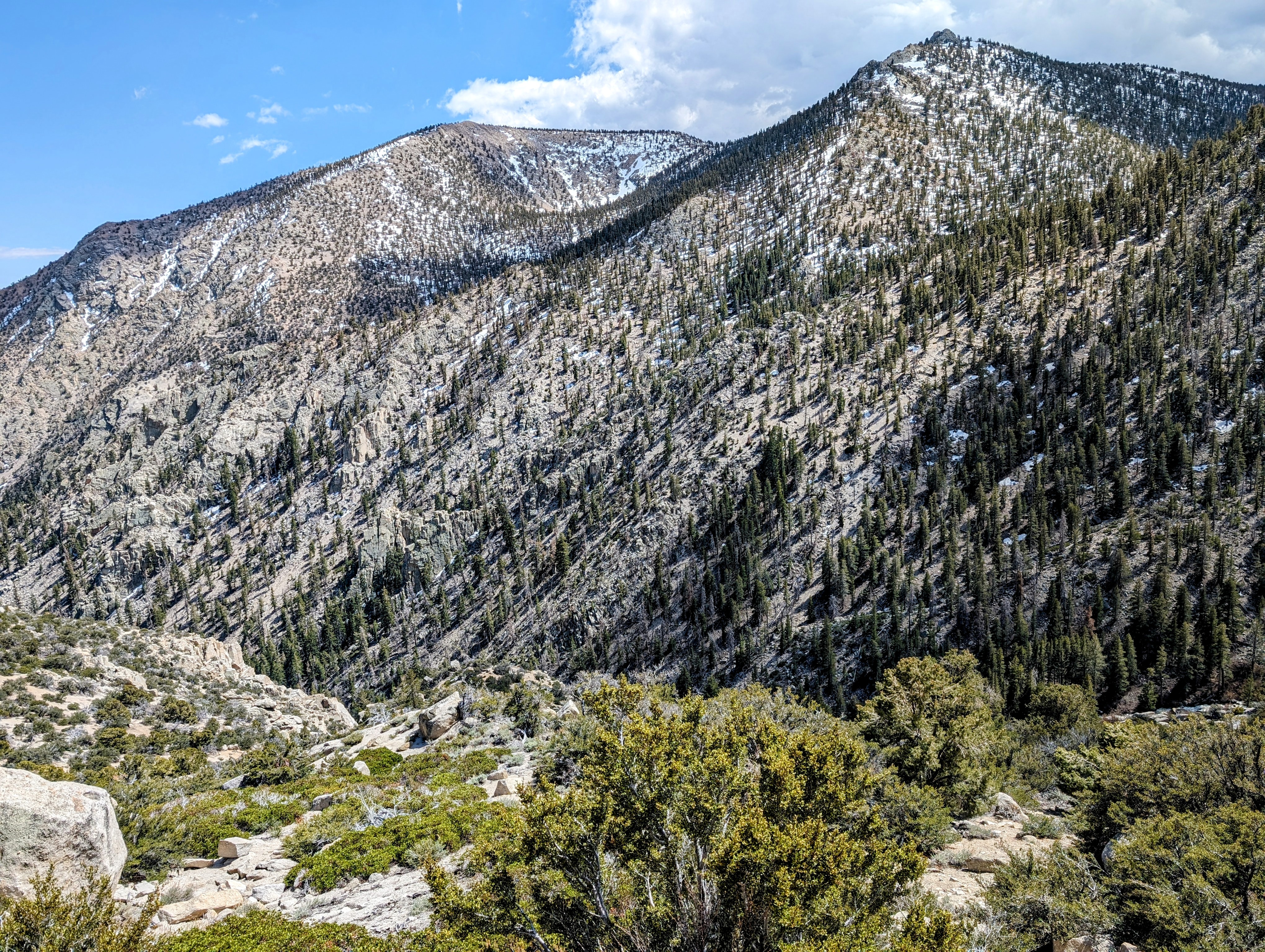
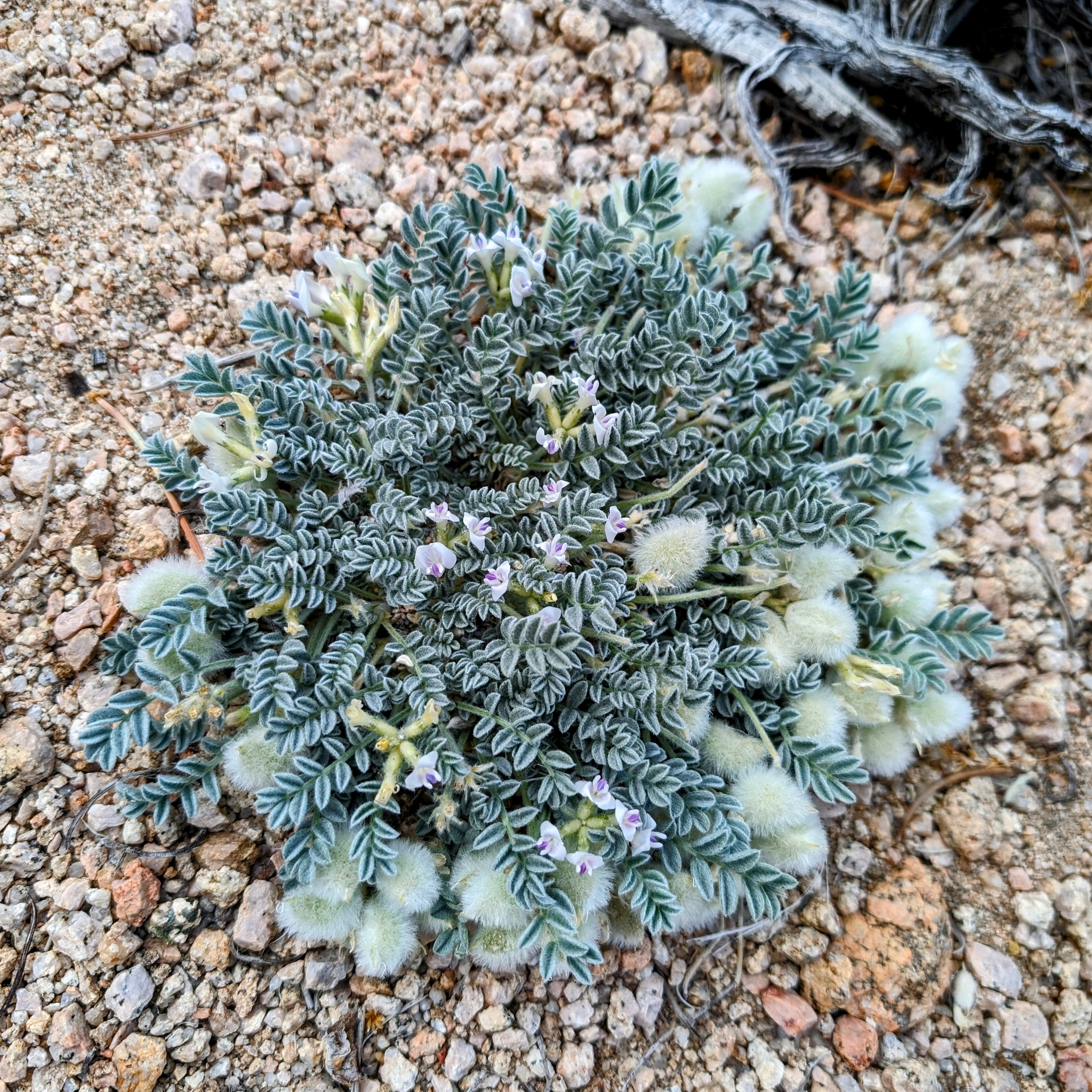
Soon I was climbing into the familiar terrain of the southern edge of the High Sierra.
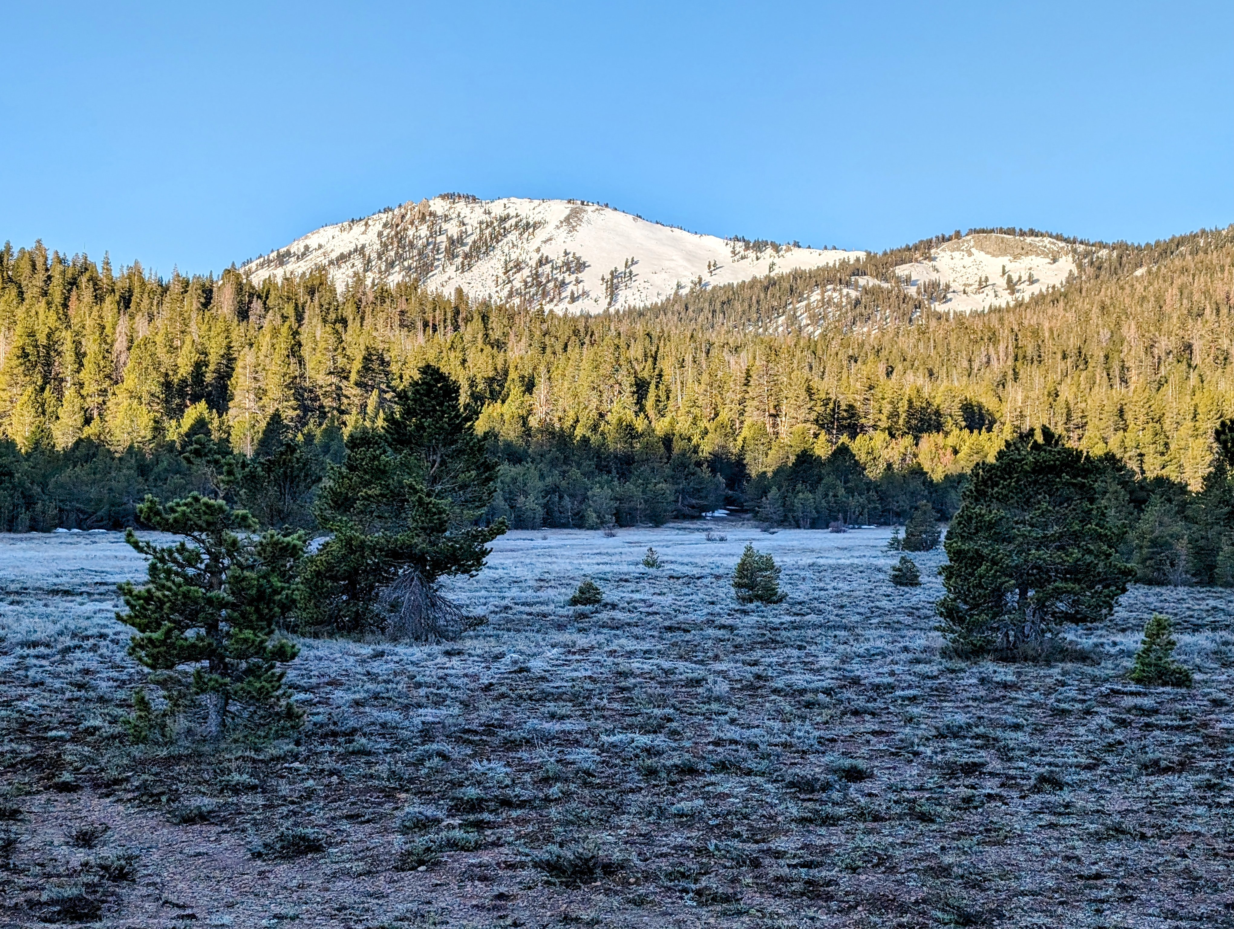
My first climb took me up over a saddle at 9600 feet.
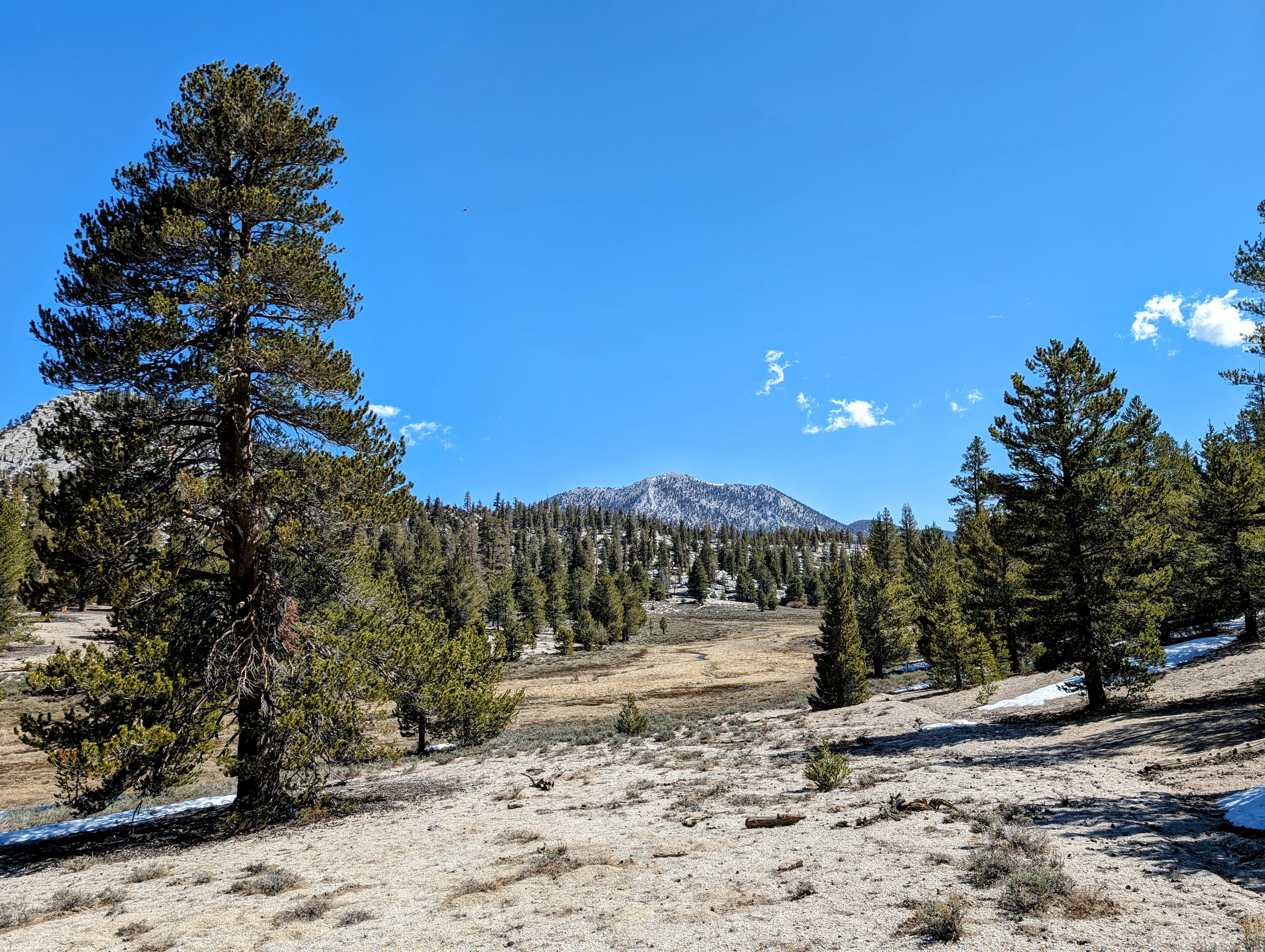
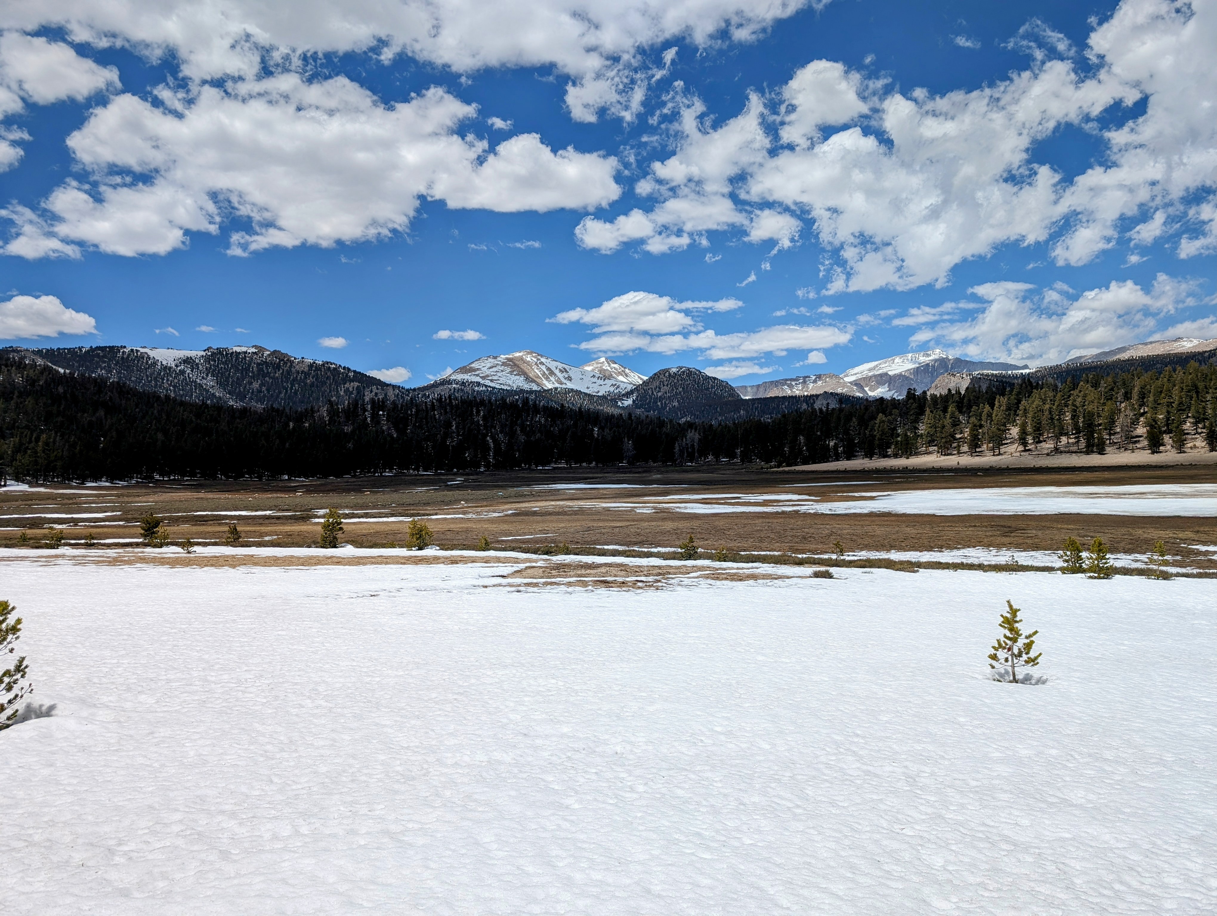
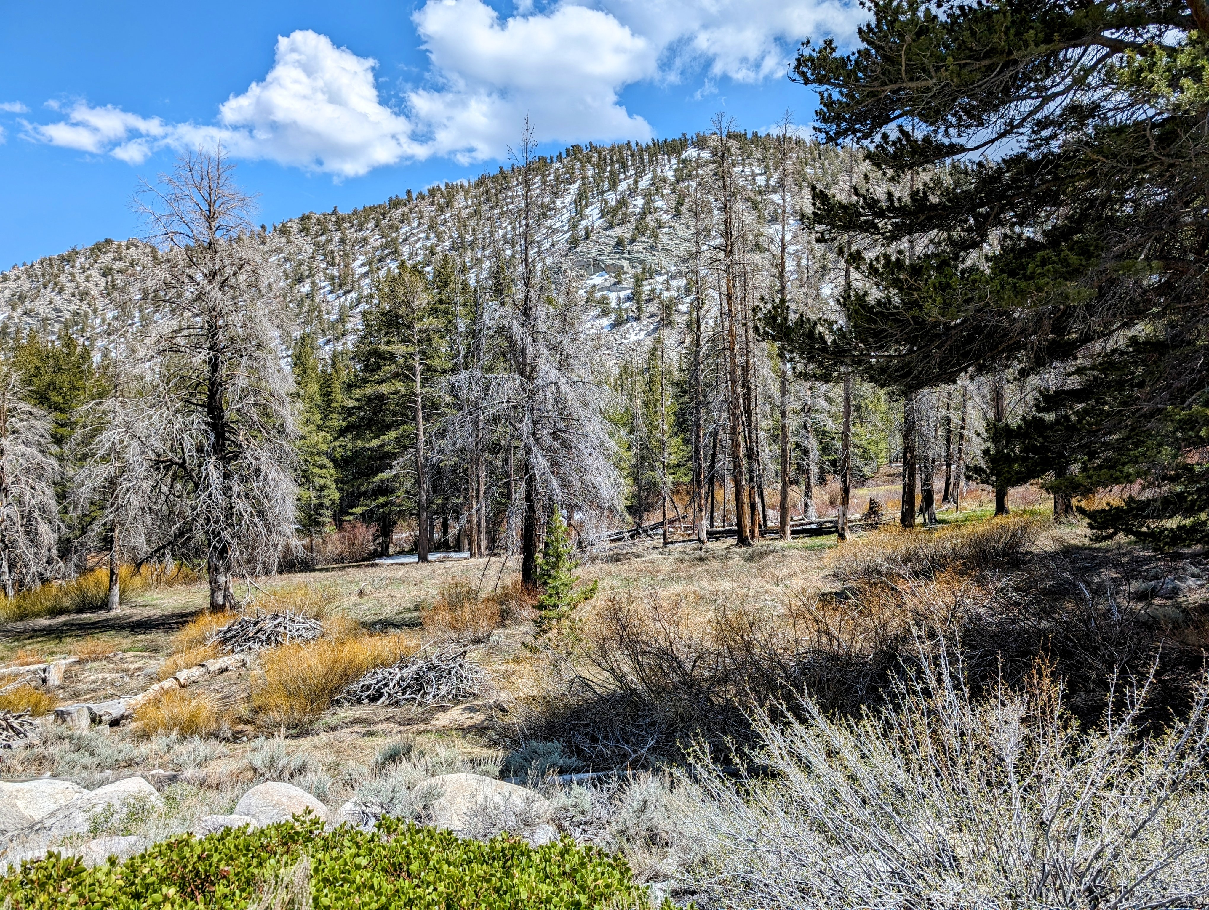
From there I descended into Mulkey Meadows.
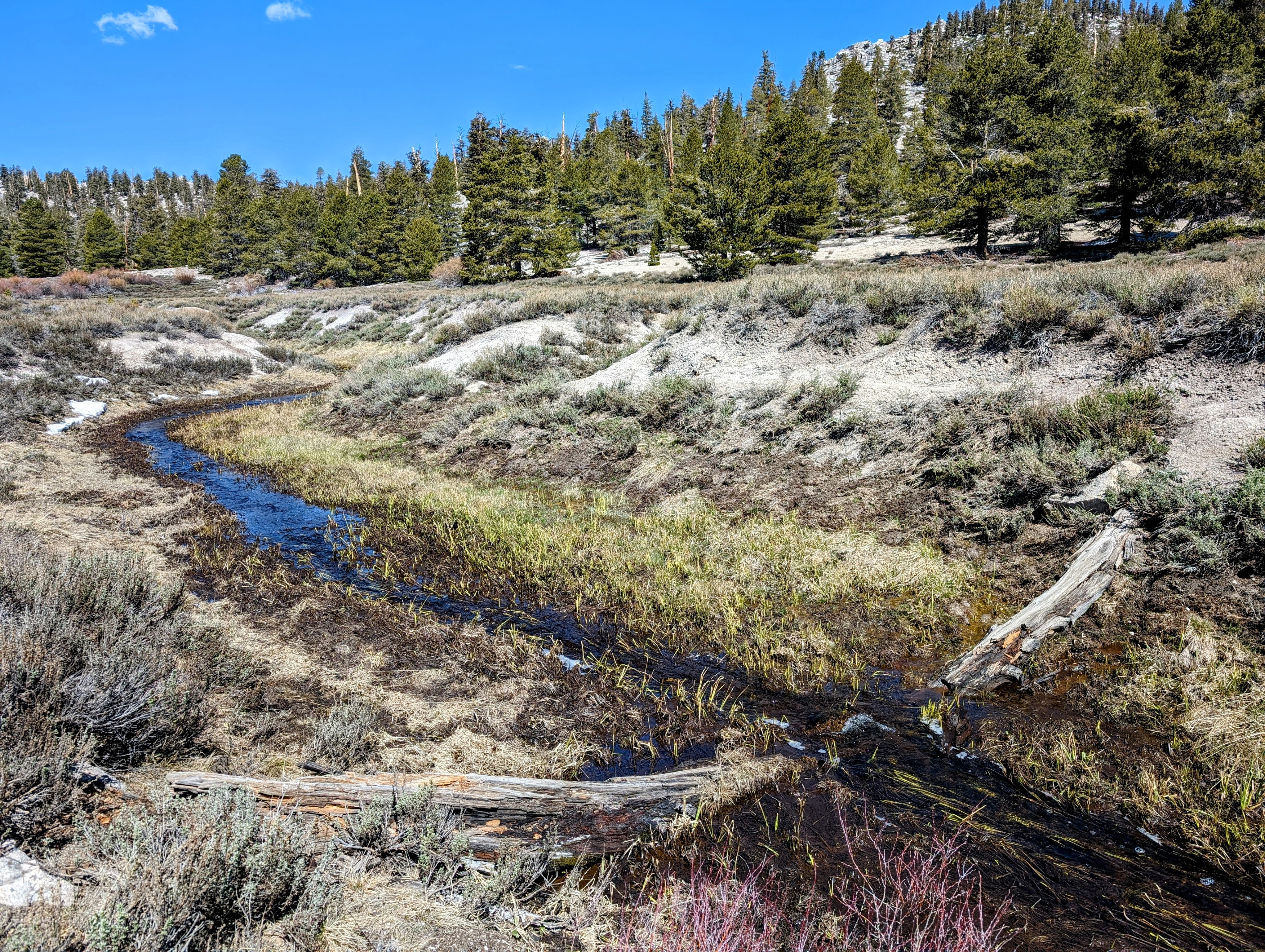
There were some significant tributaries to cross, but I managed to keep my feet dry across them all. The widest one came complete with a snow bridge!
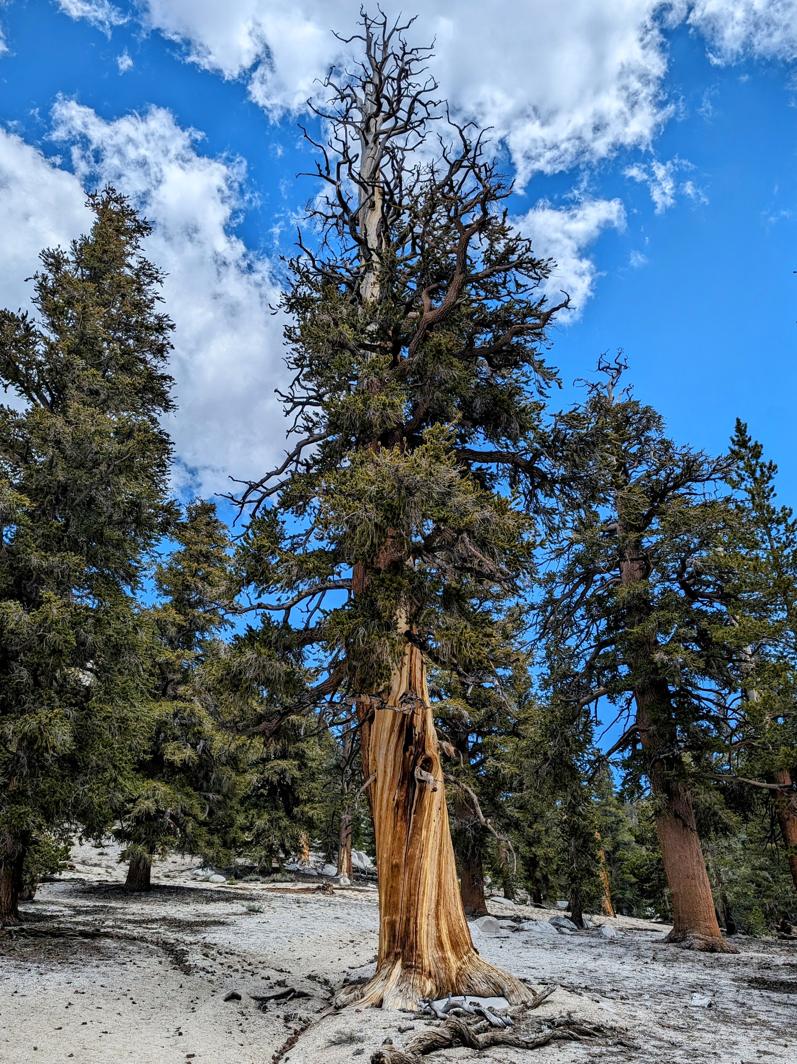
By 11am I intersected with the Trail Pass trail. I took a nice lunch break in the delicious shade of a pine tree grove.
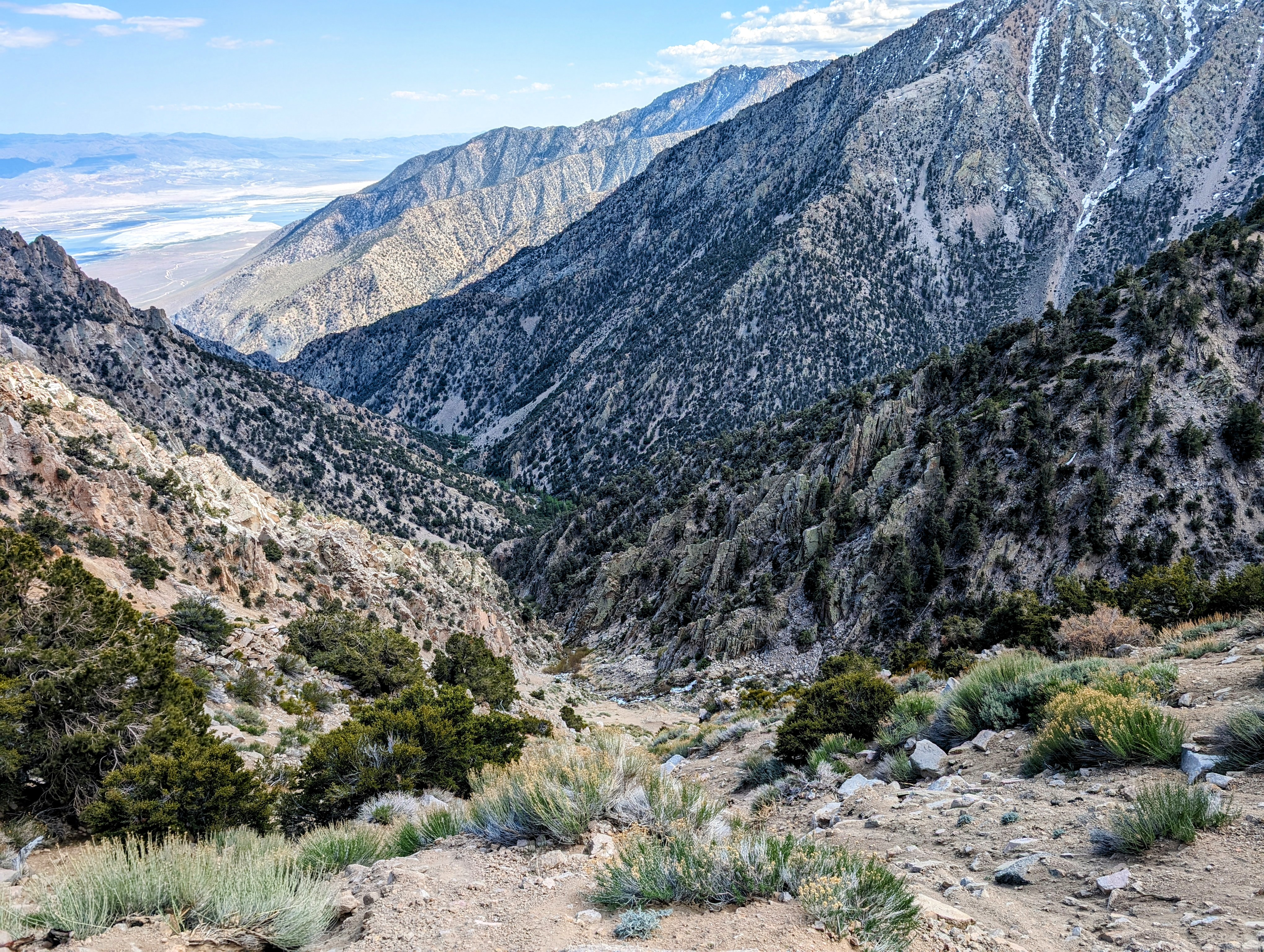
I then proceeded to finish my climb up to Trail Pass.
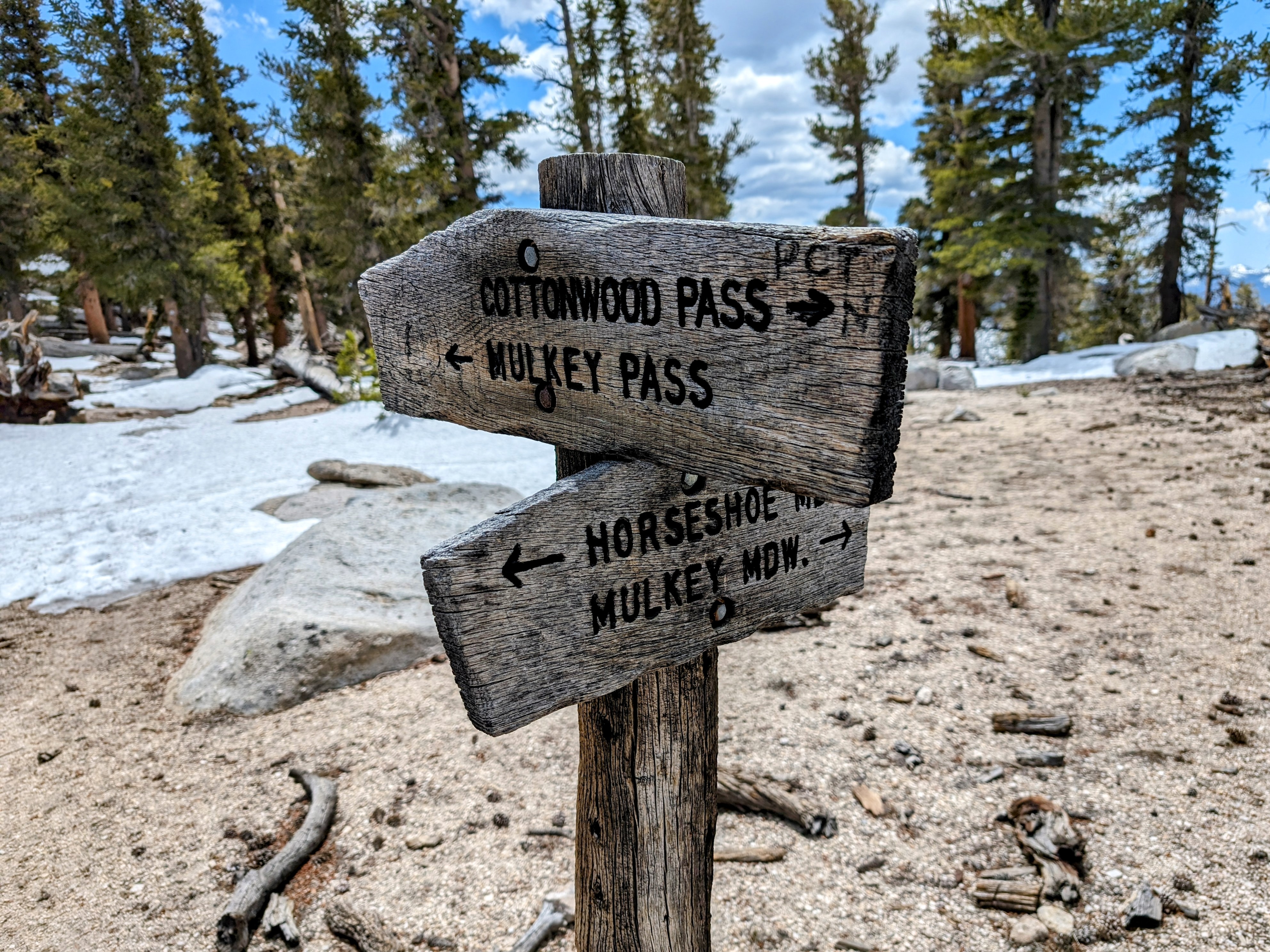
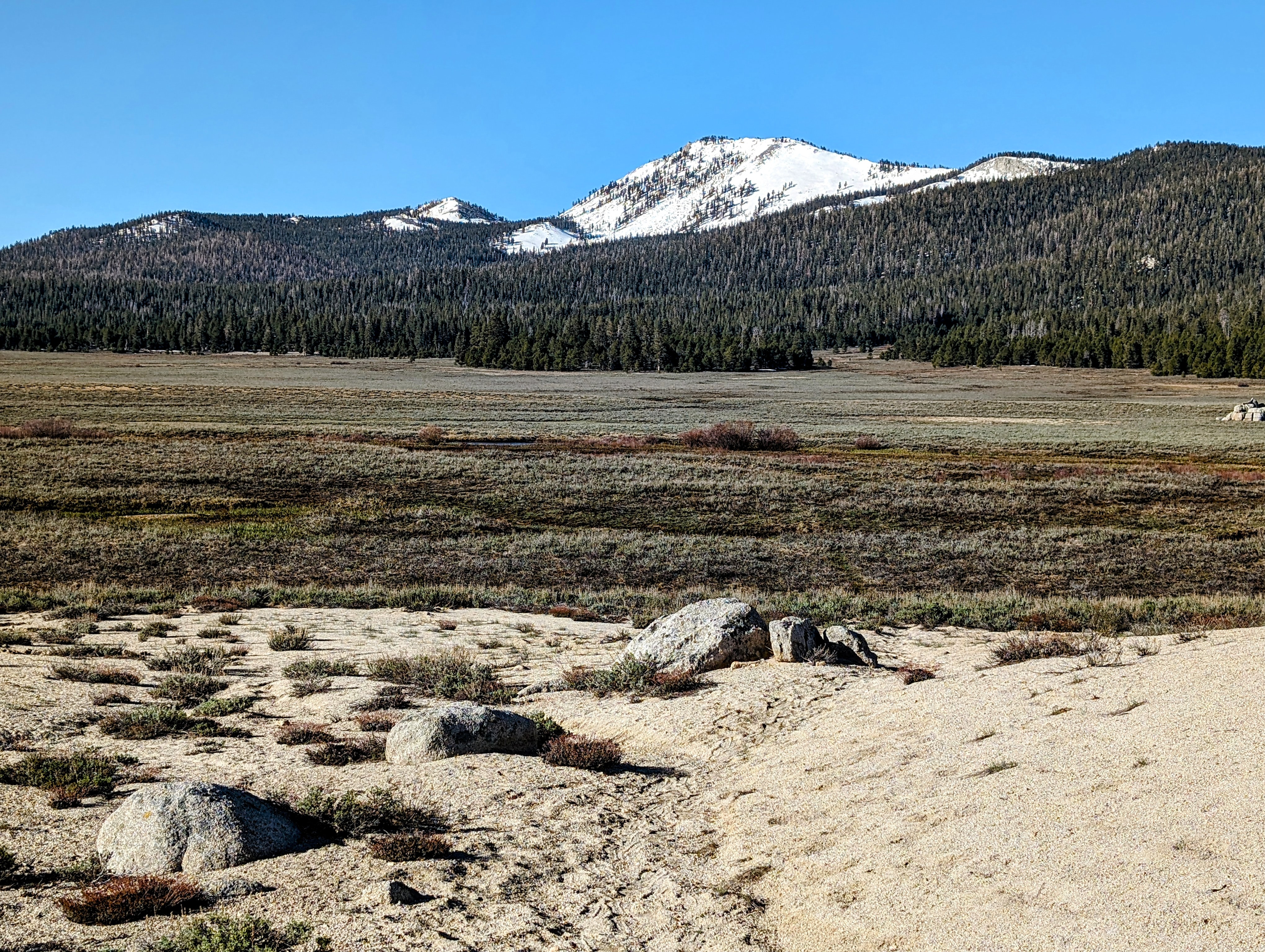
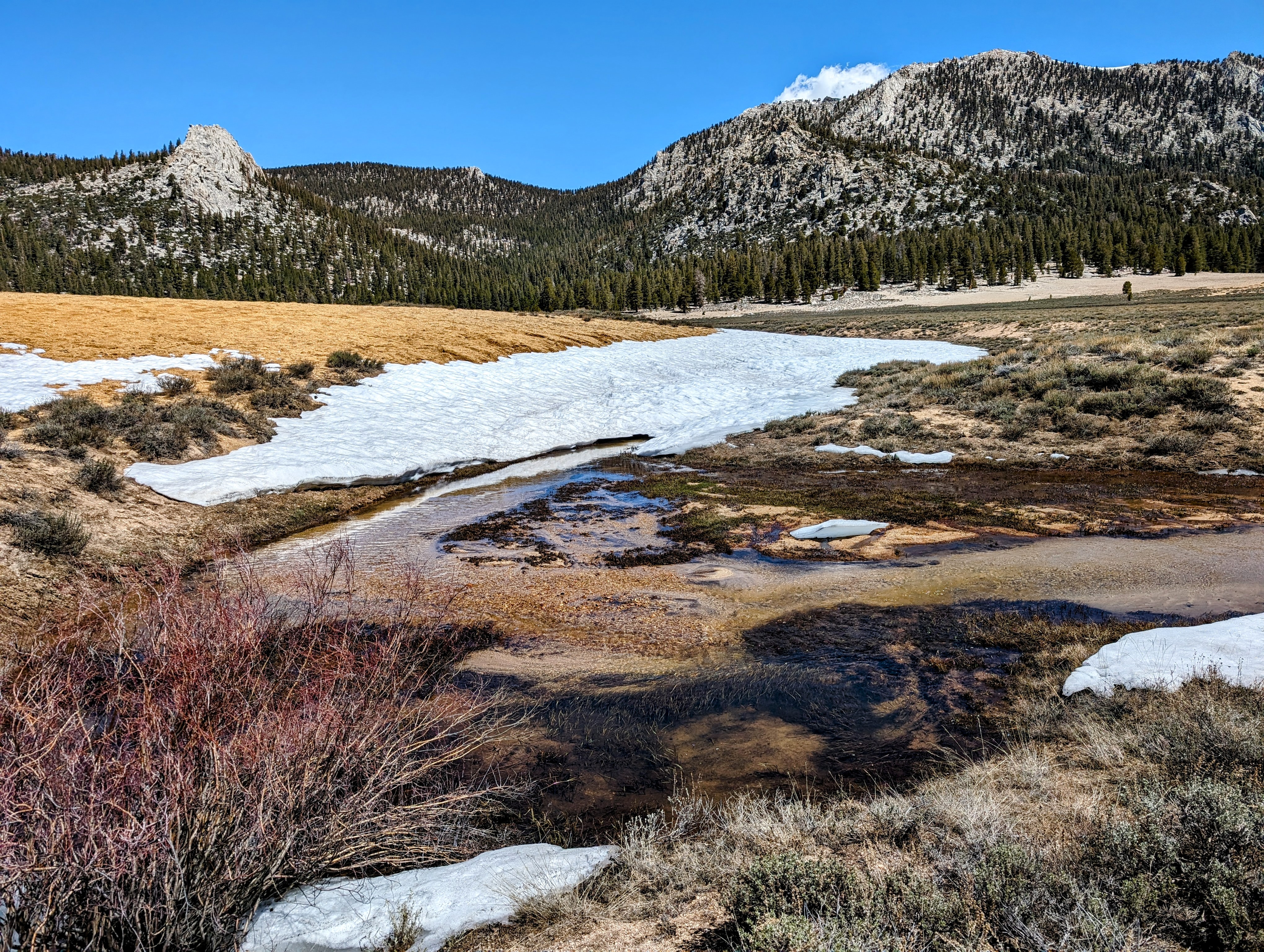
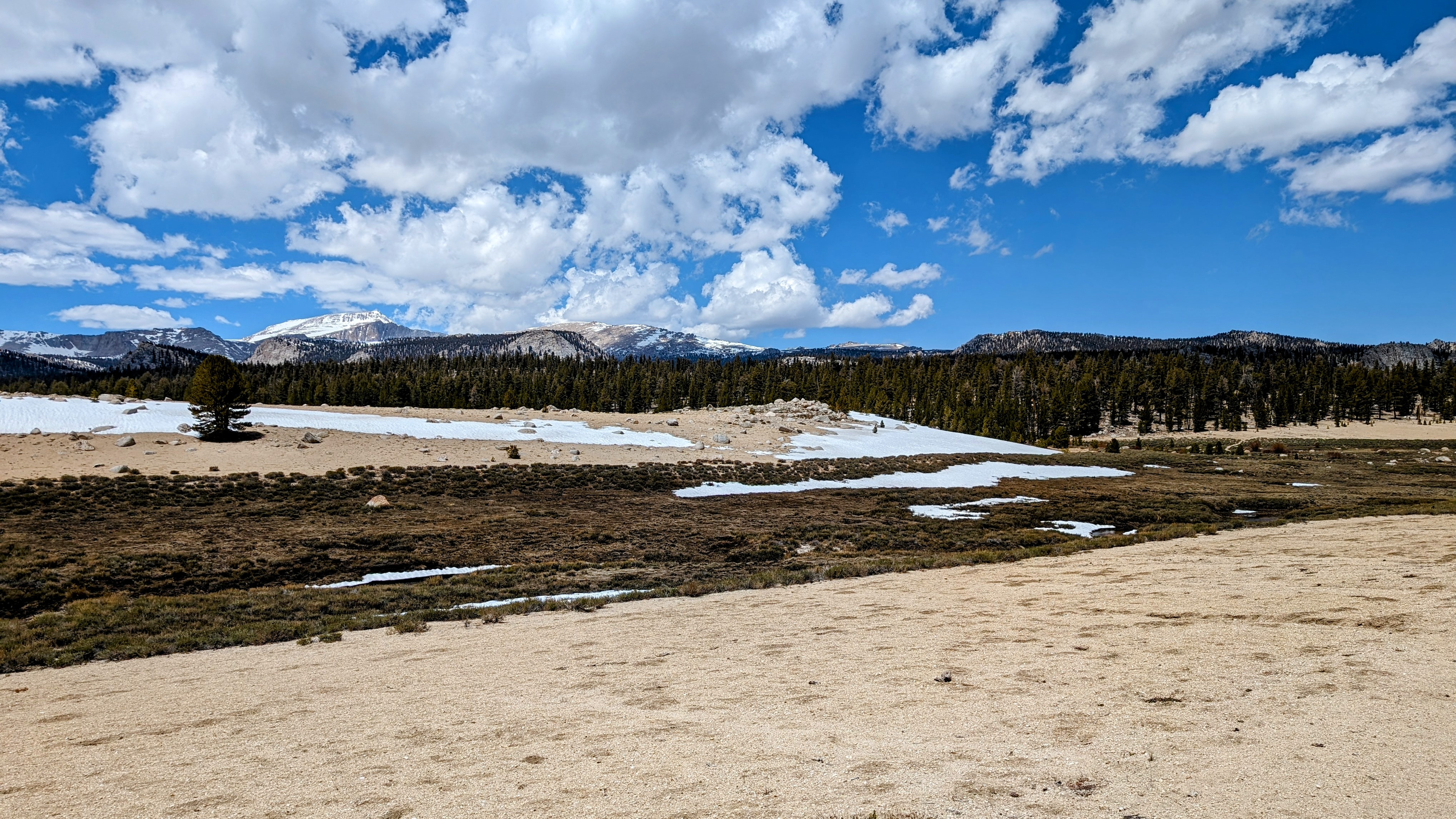
The south side of Trail Pass was mostly snow free. Not so the north side.
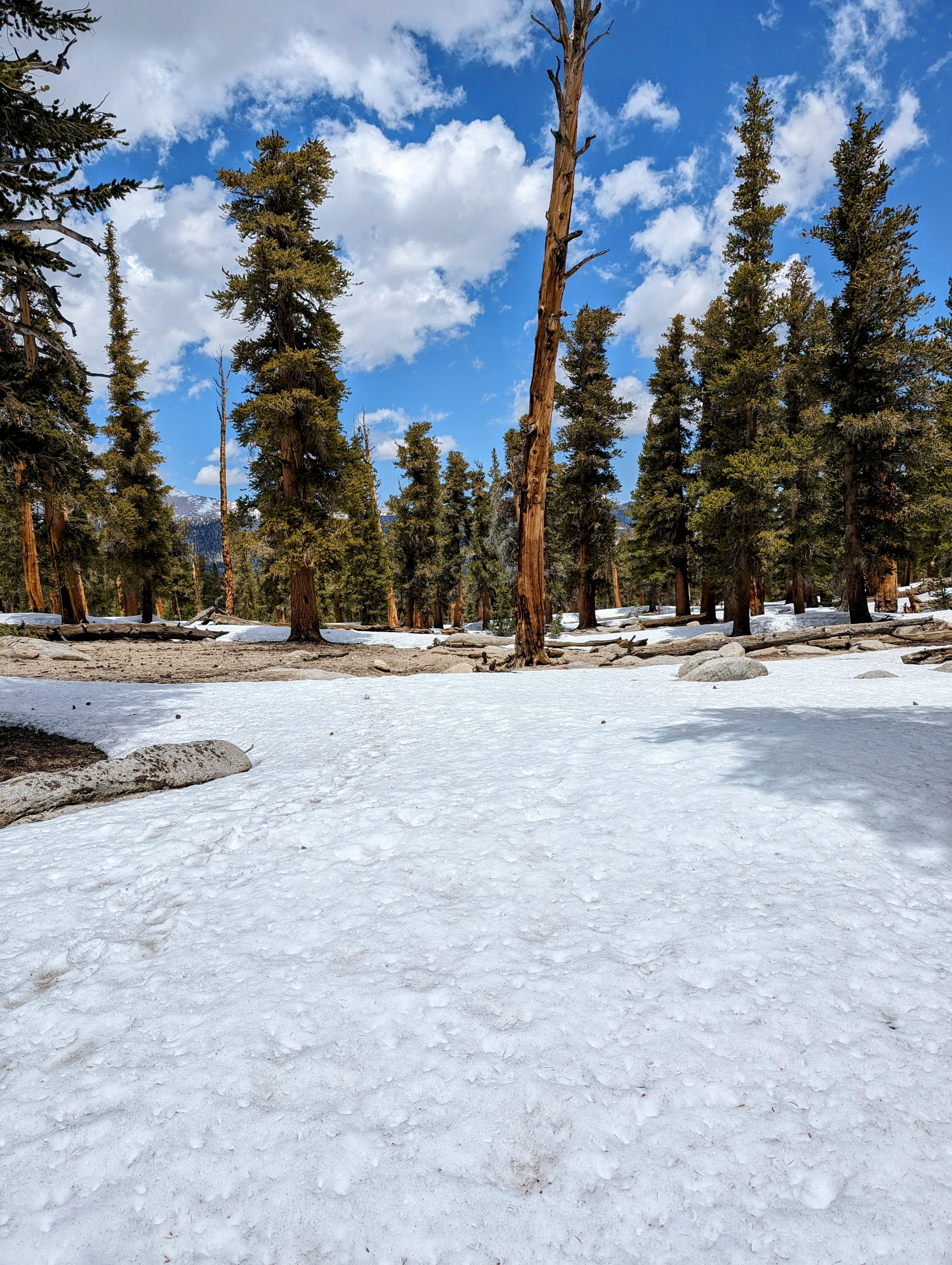
I donned my microspikes and had fun trying to keep to the official trail, which traverses down towards the Mulkey Pass Trail.
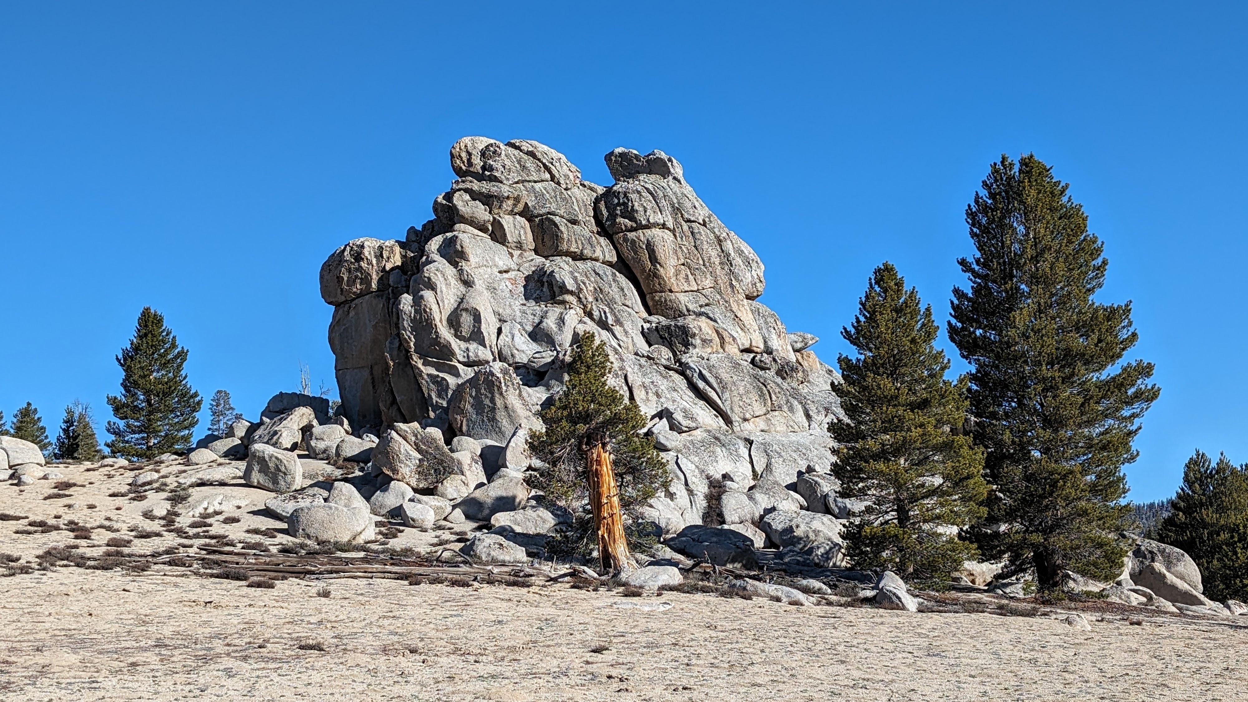
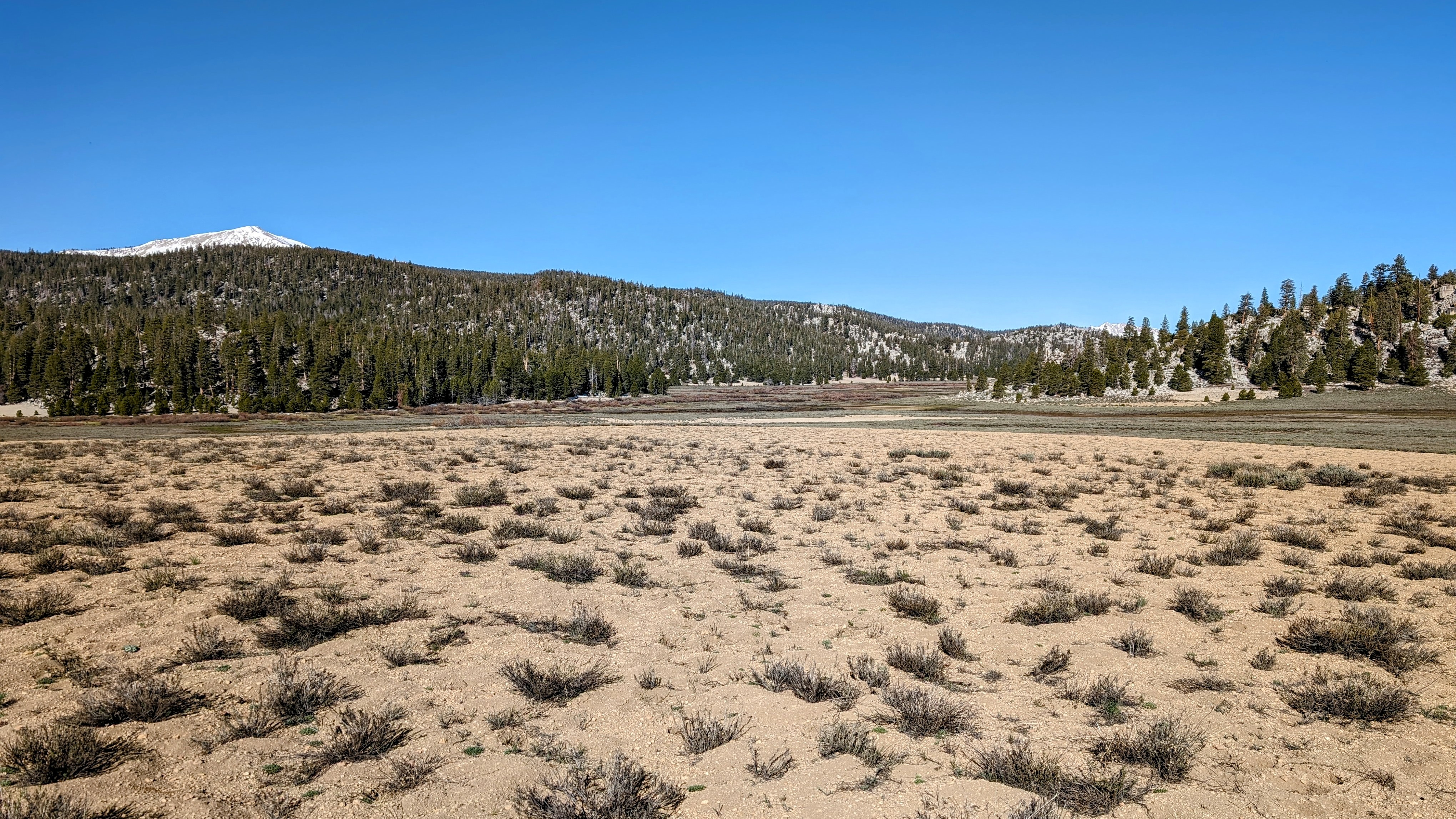
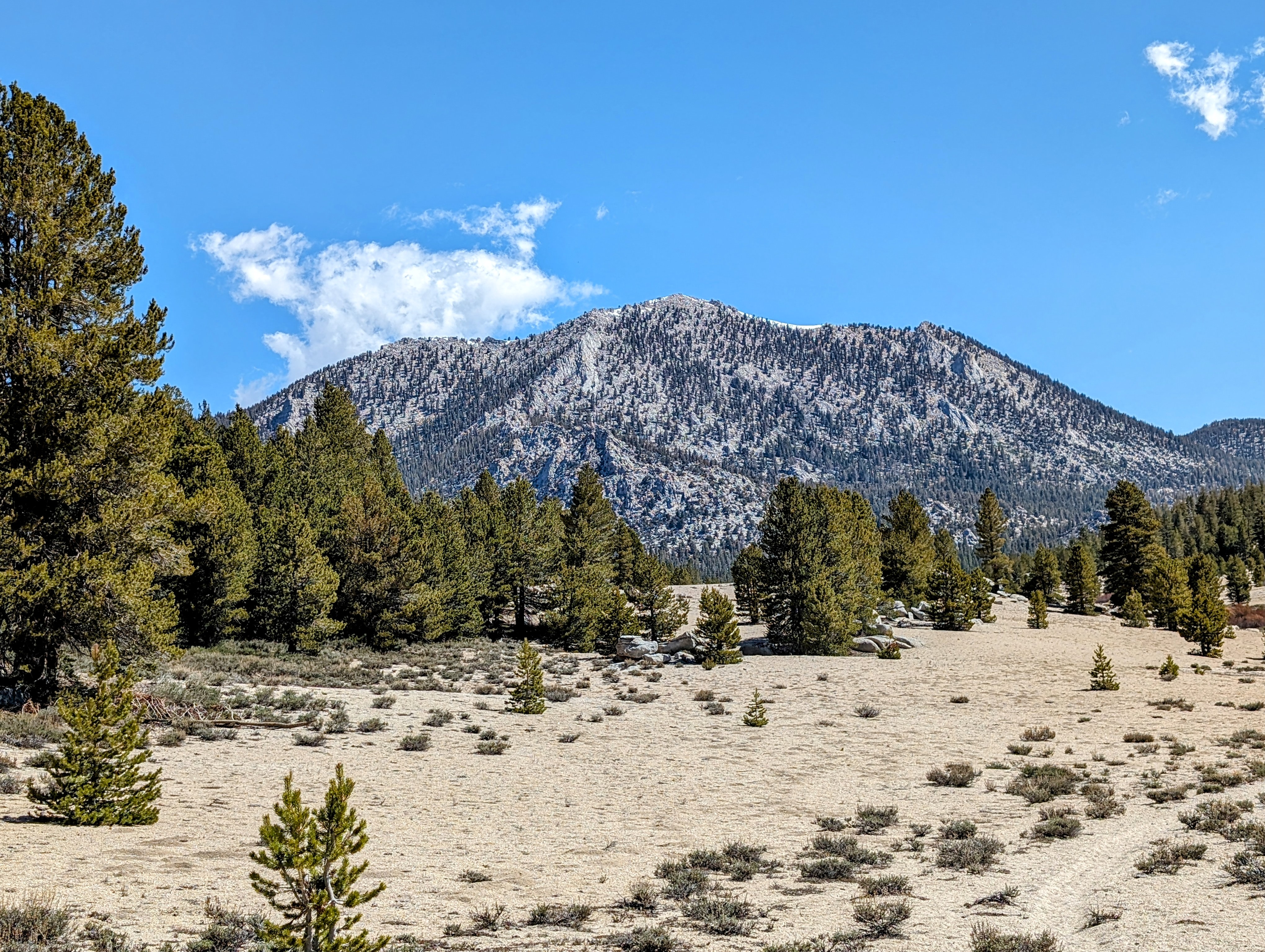
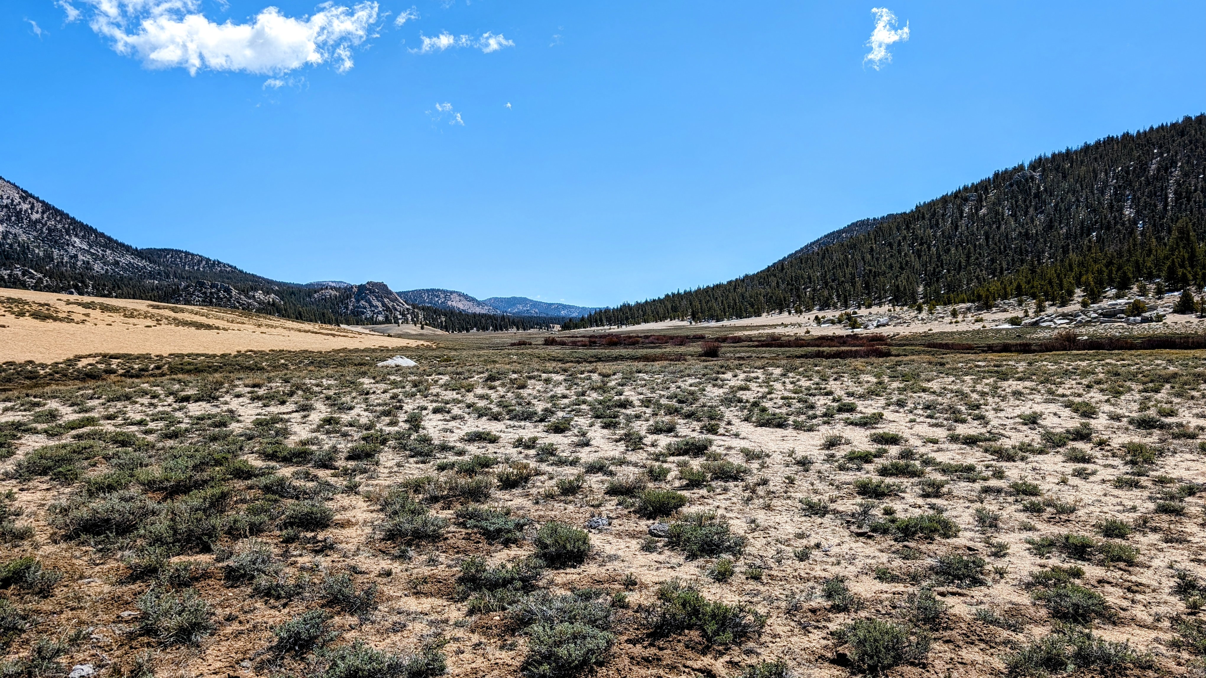
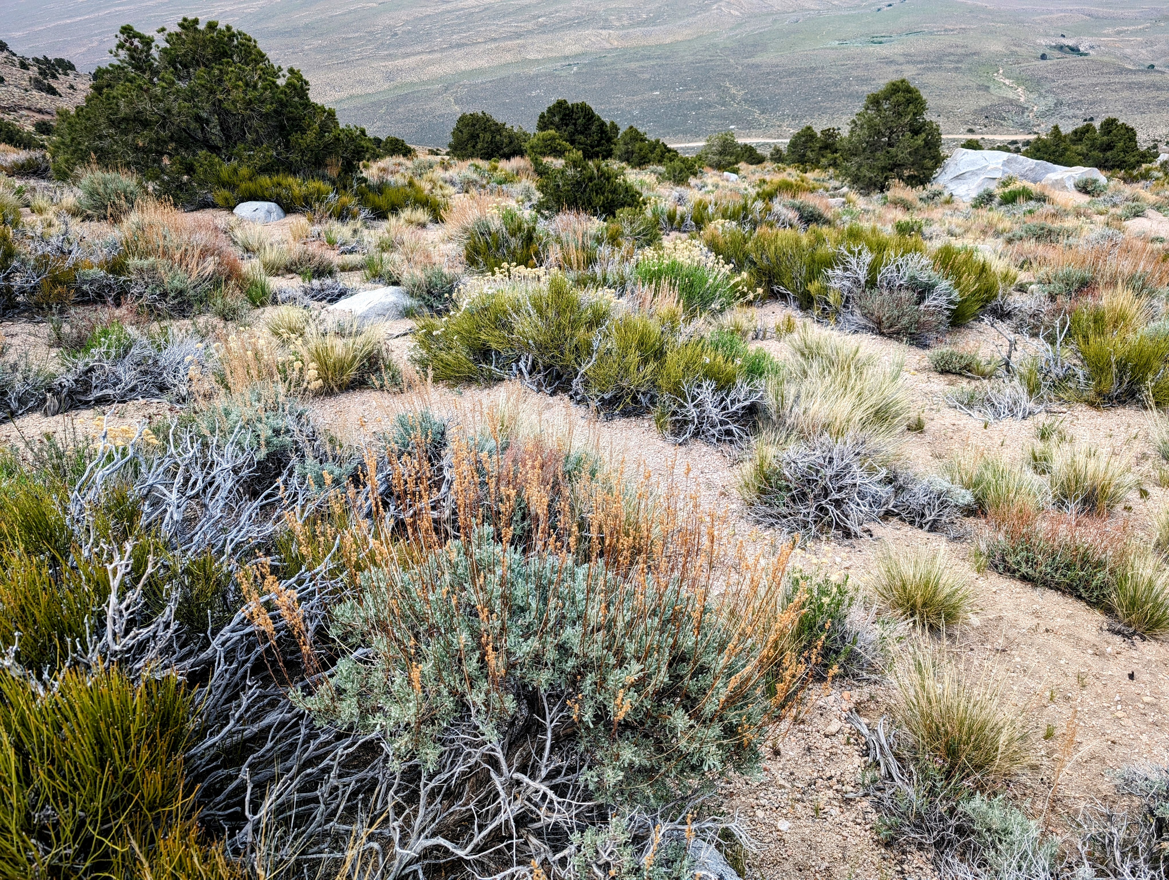
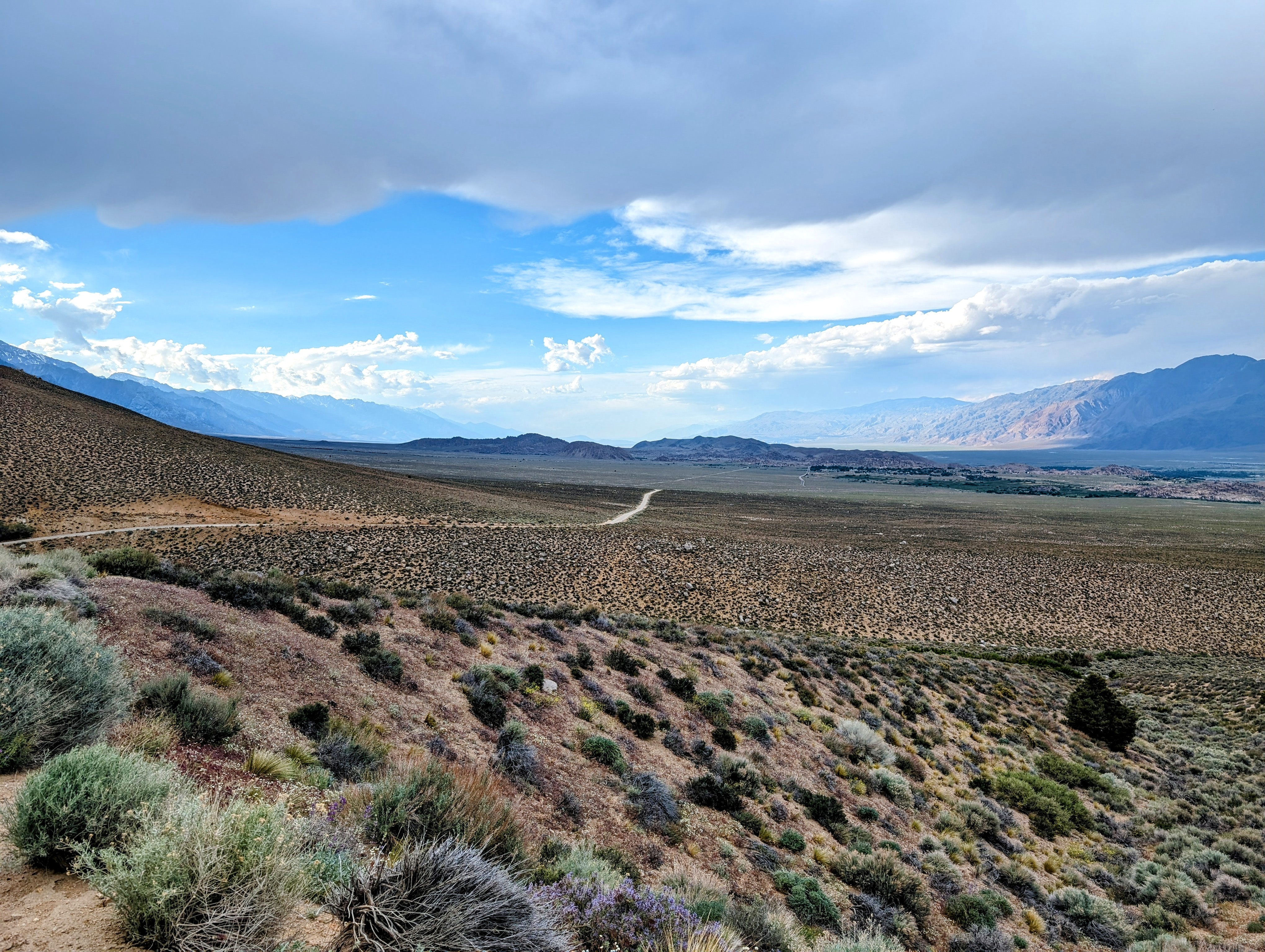
The snow eventually turned to sand as I made my way east.
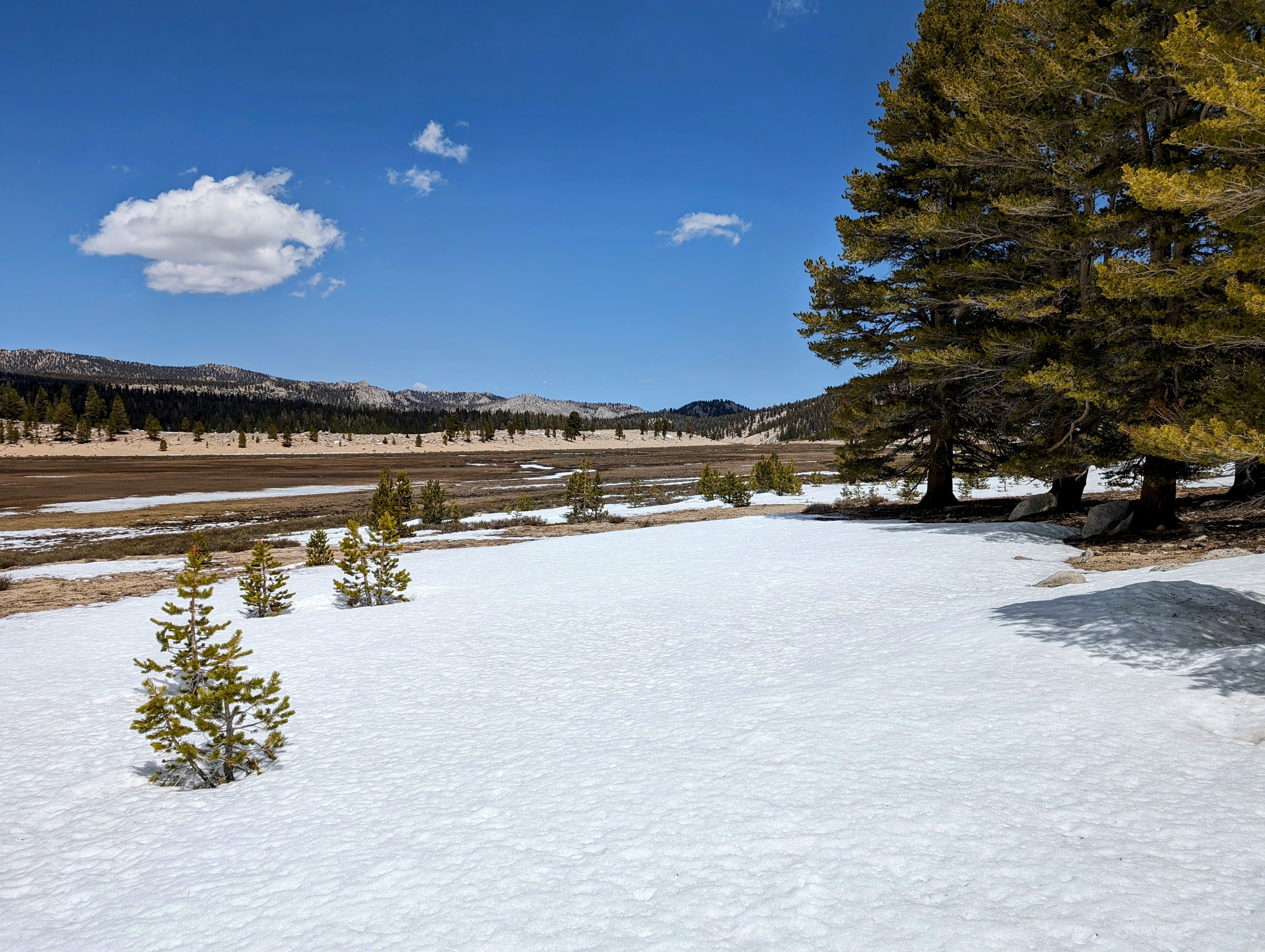
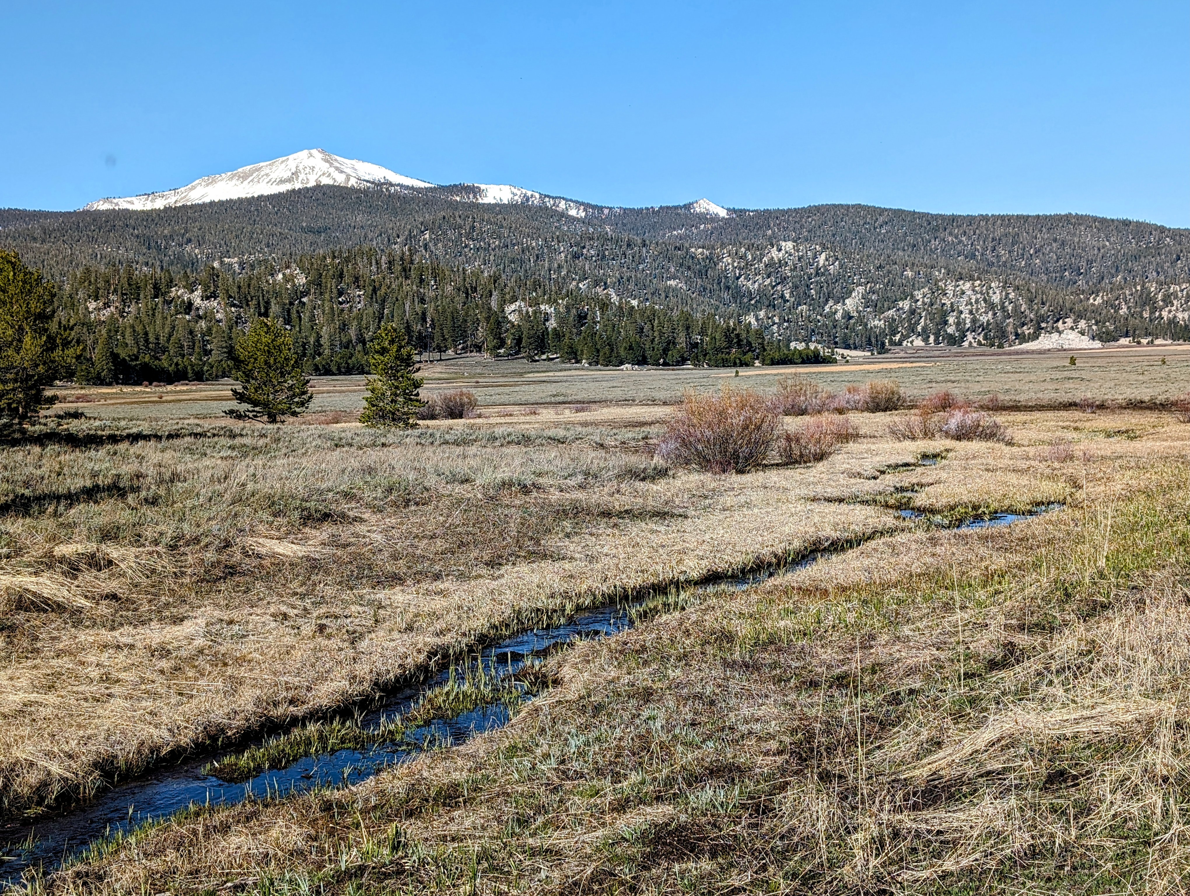
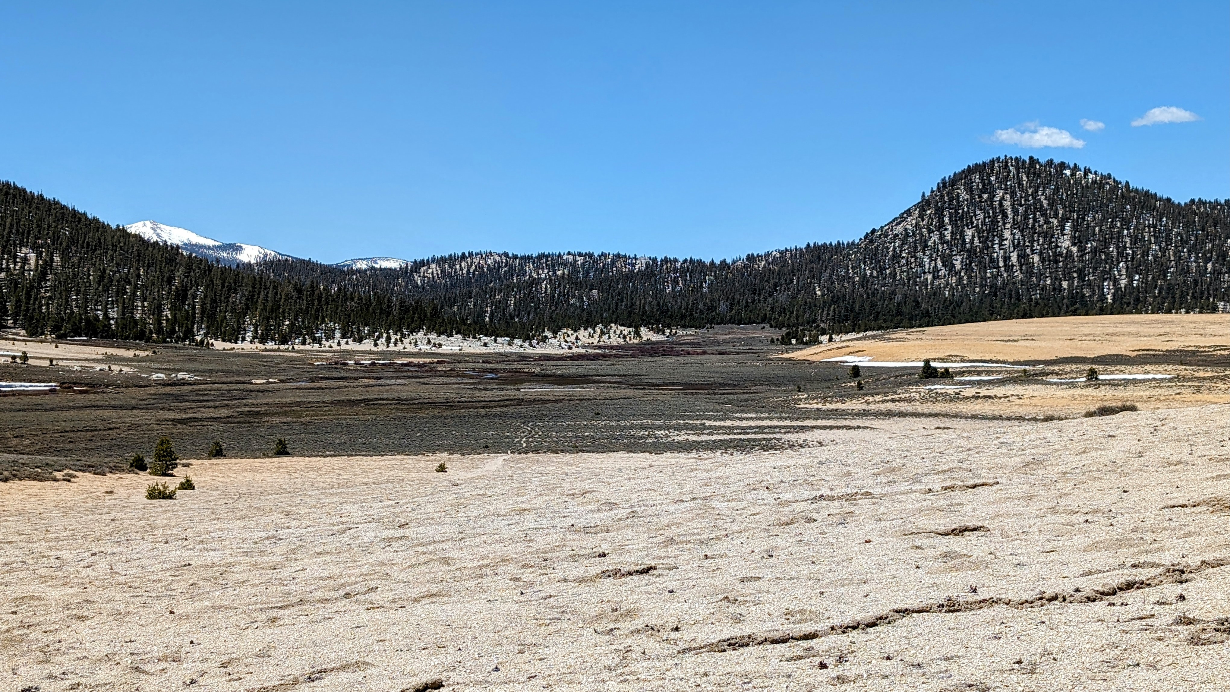
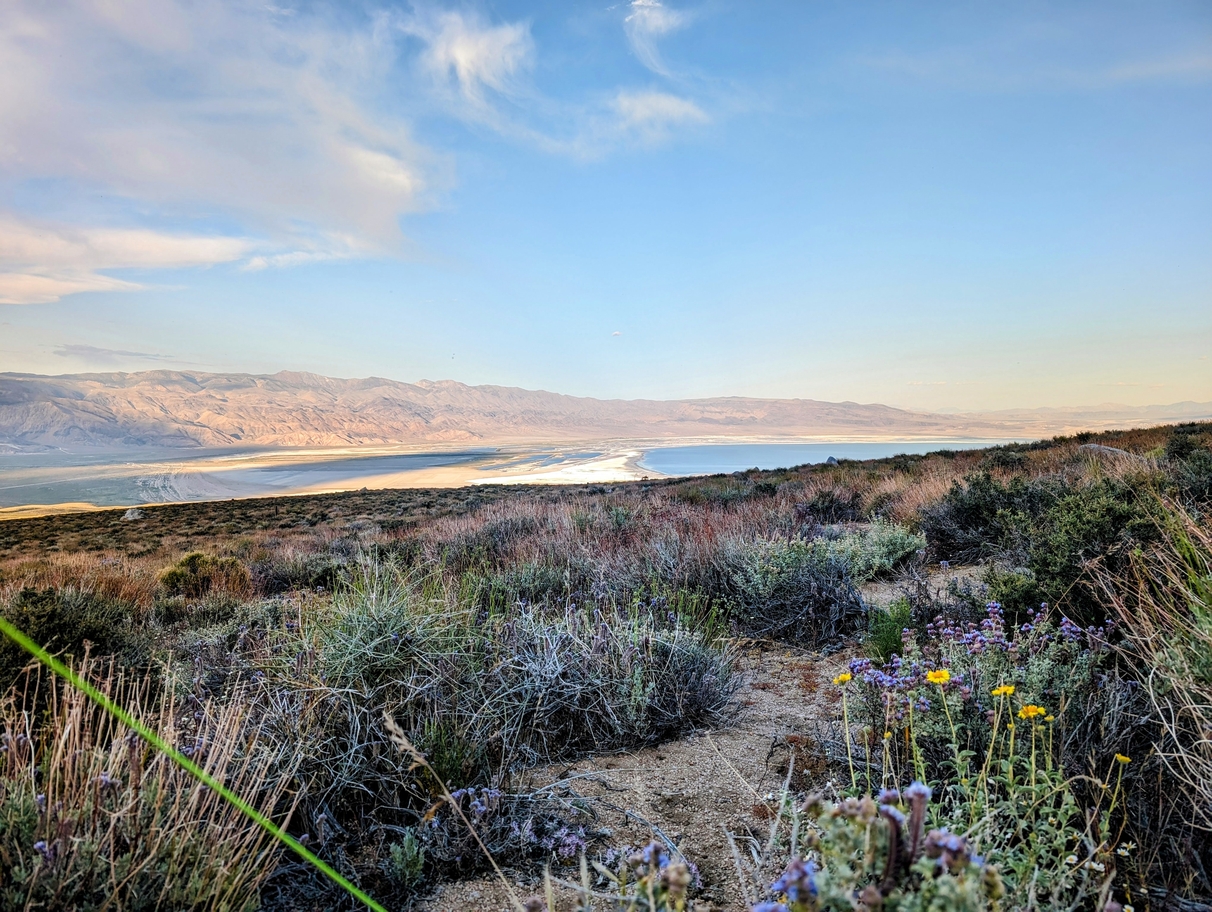
I was feeling quite content with my merely wet feet. But then I discovered there was no way to cross Horseshoe Meadow unscathed.
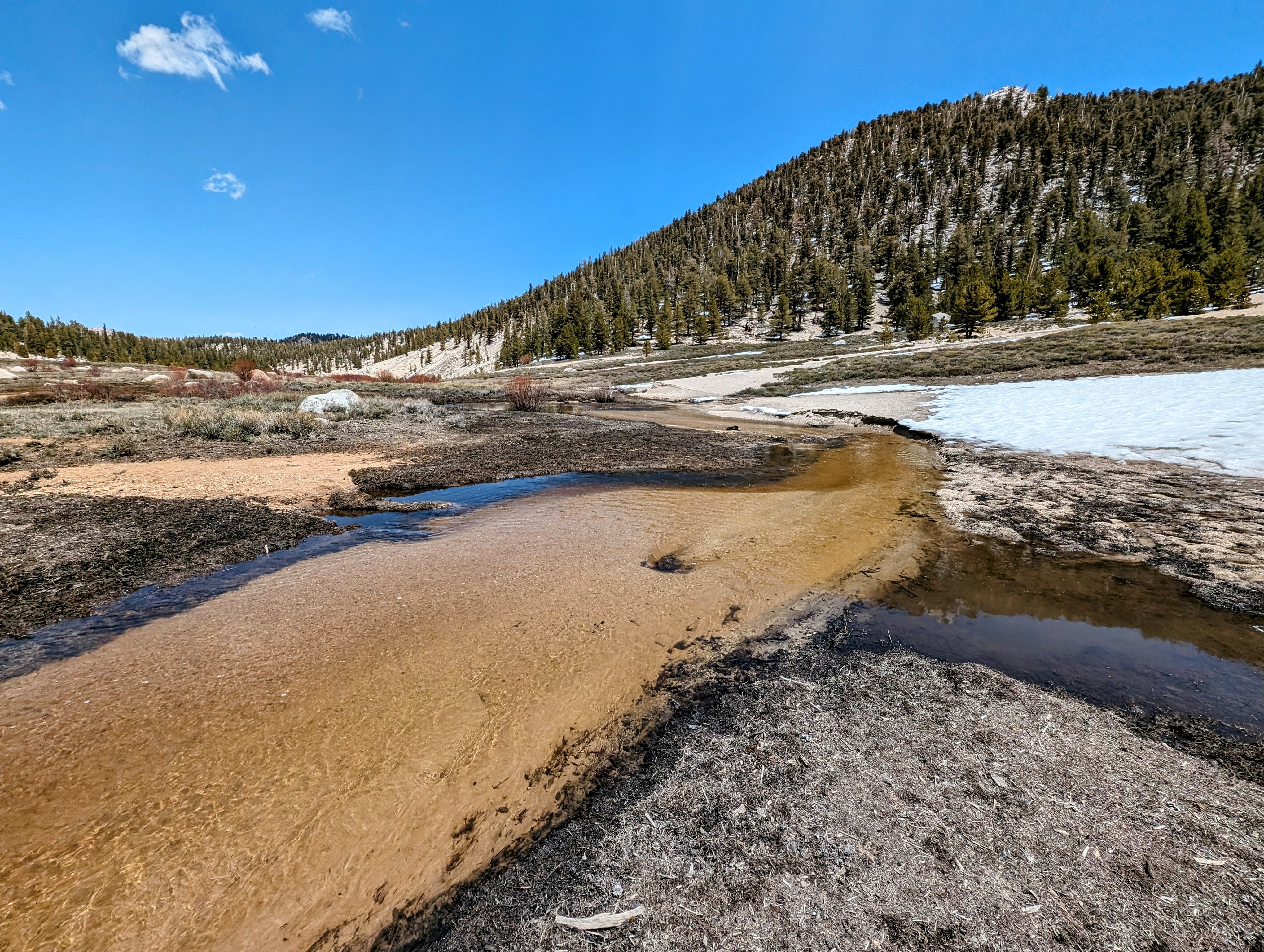
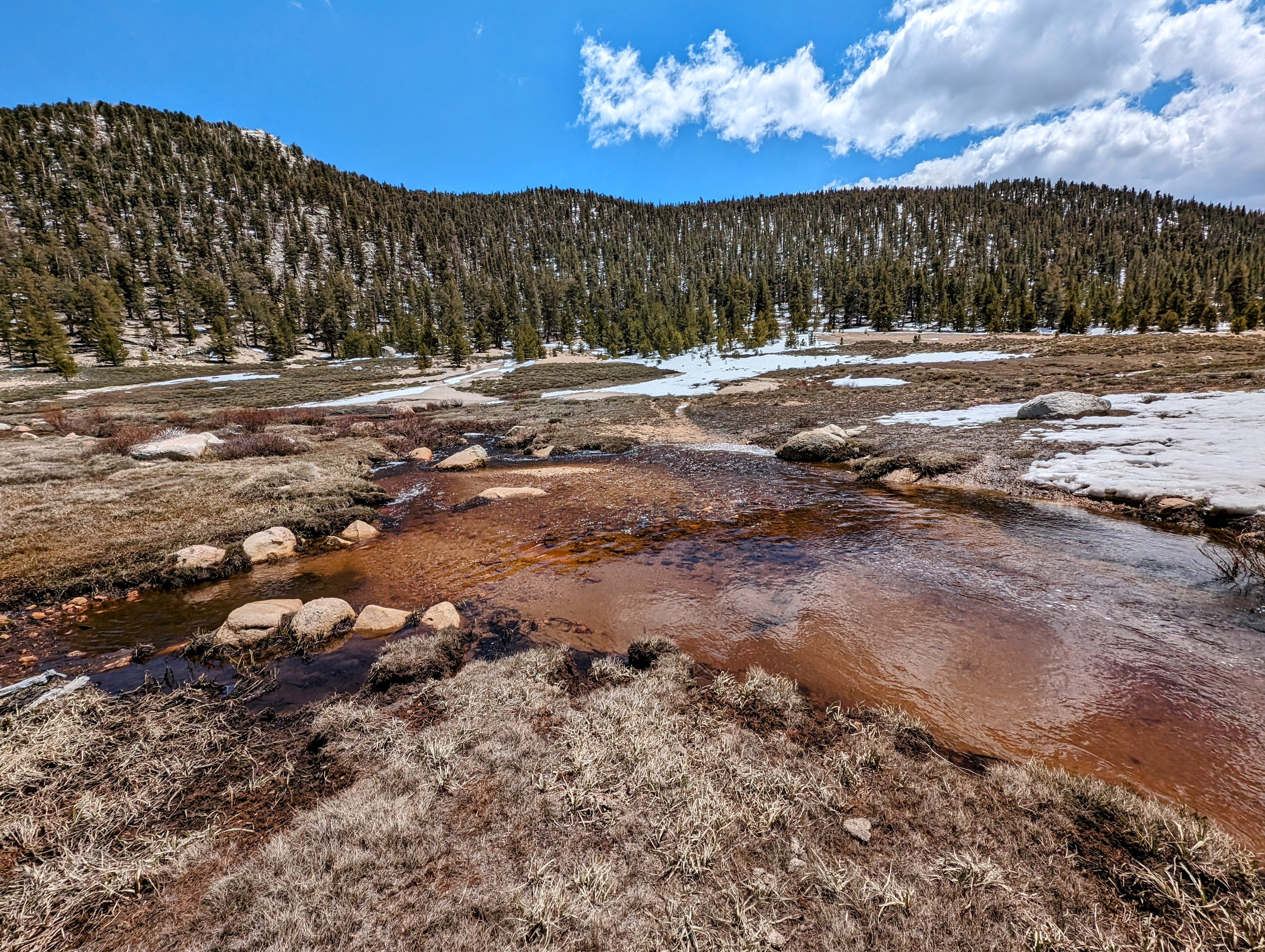
It was refreshing! But in the interest of giving my feet a break I stopped to wring out my socks at the edge of the wilderness.

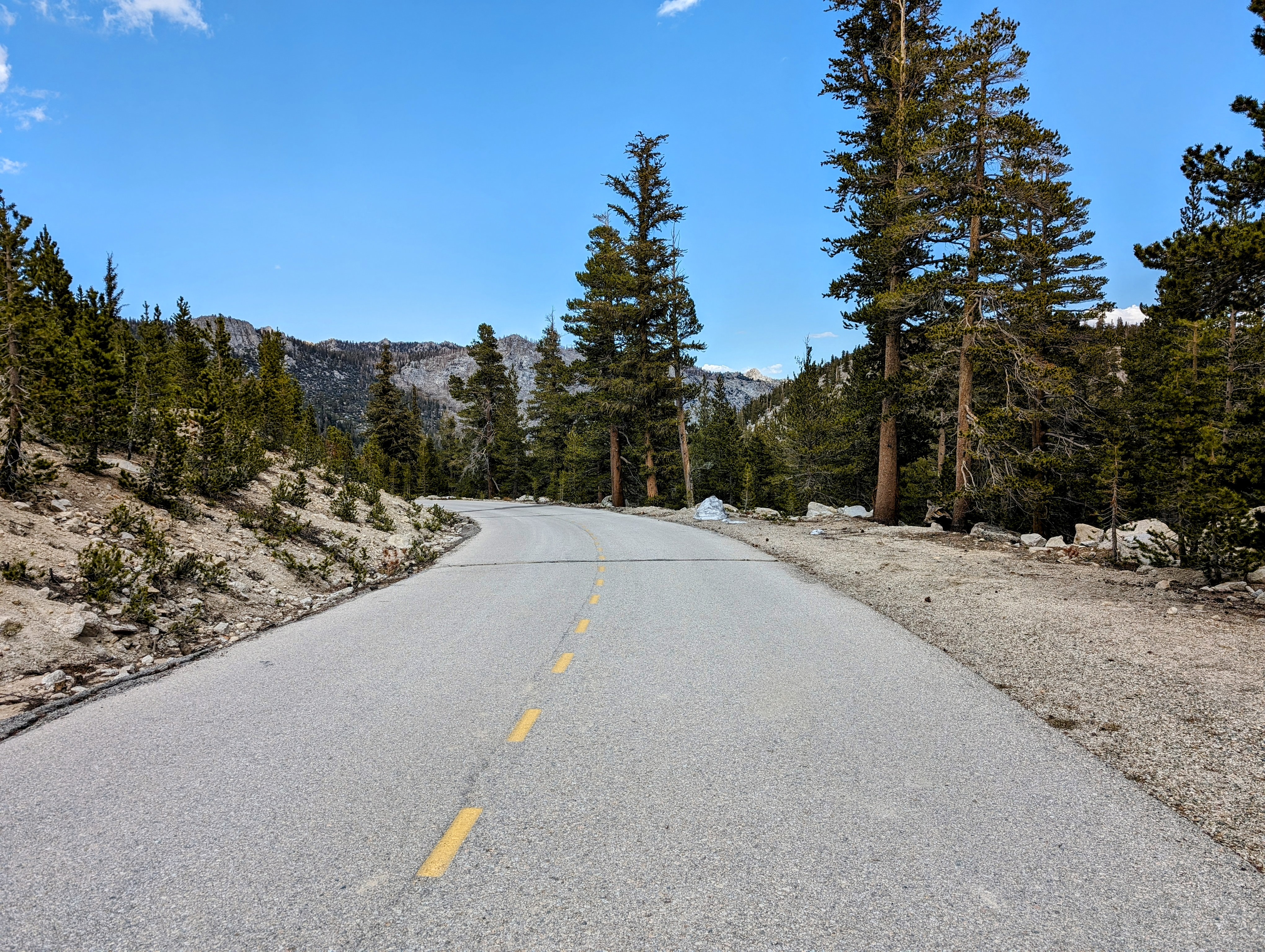
Soon I was on the Horseshoe Meadow Road.
They have not yet opened to the road all the way to the campground, so all the cars were parked outside the lower gate. It was there I saw my first humans in 4 days, a pair of motorcyclists comparing rigs.
I said howdy. They said howdy back.
And then I moved on.
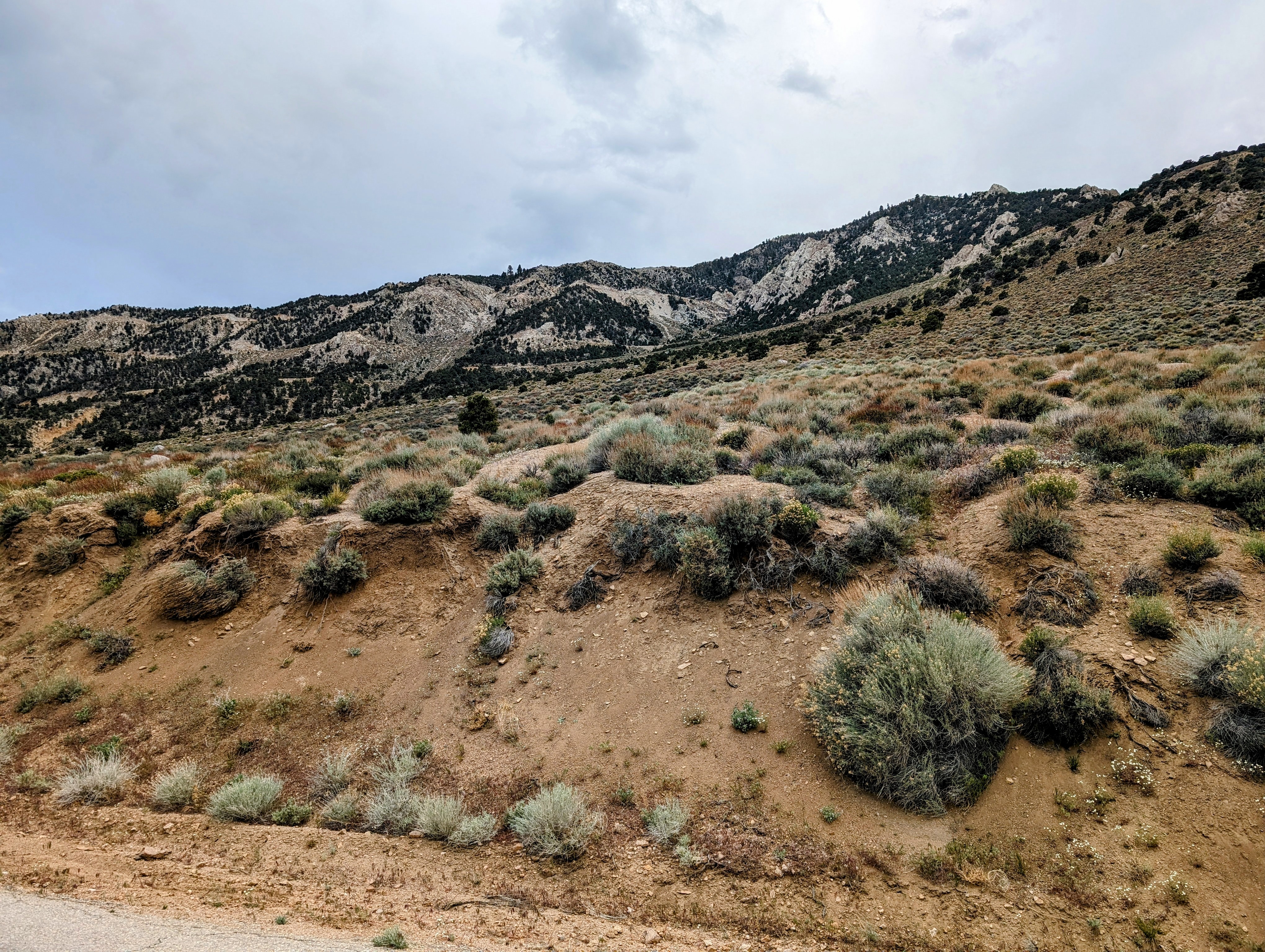
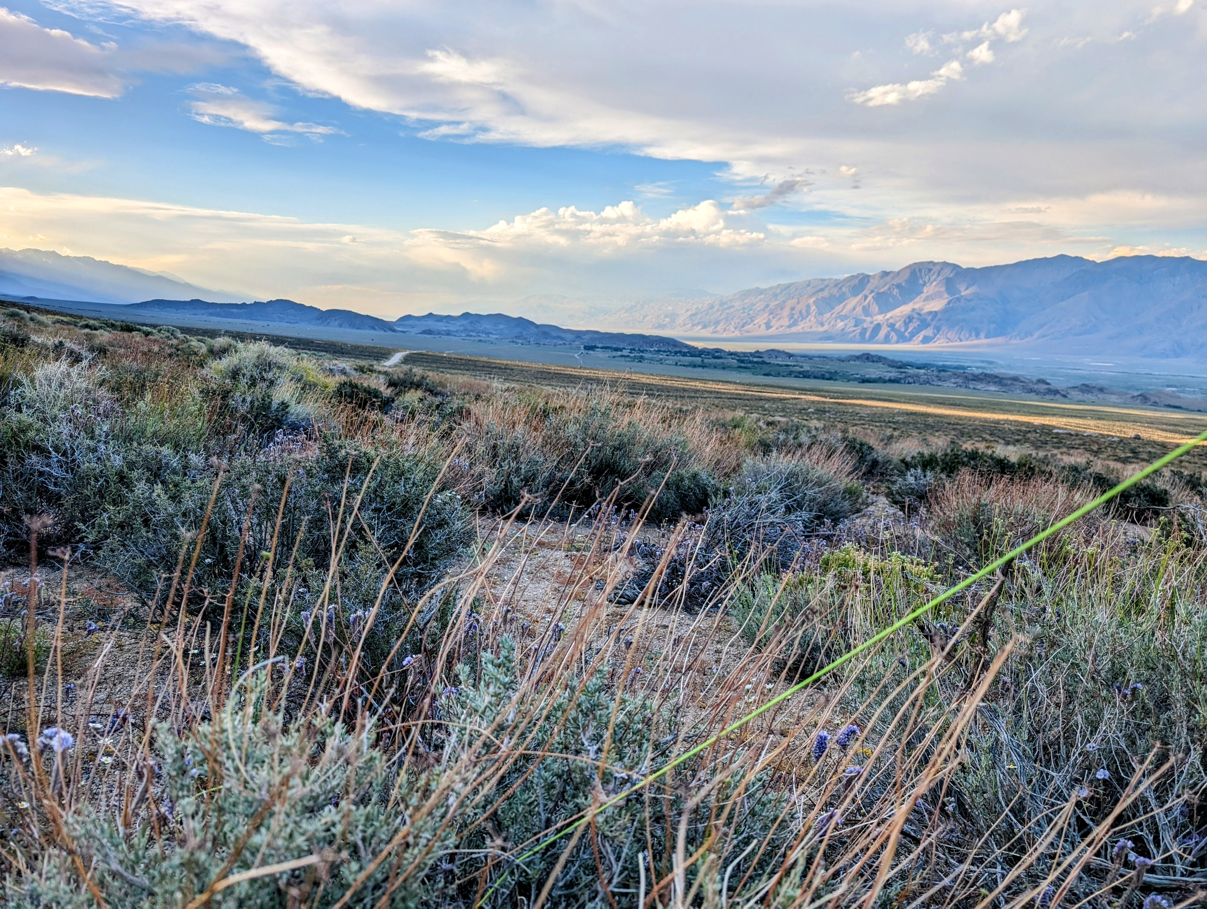
I have always been very curious about the Horseshoe Meadow Road switchbacks. It always feels like they pass by too fast as I race up to hike or down to eat. But today I decided to walk them all the way down.
And they were lovely!

There wasn’t much traffic on the road, but I did have three separate vehicles slow down as they passed me to ask if I wanted a lift.
I just said: “Thank you, no. I’m enjoying the walk!”
And they smiled and continued on.
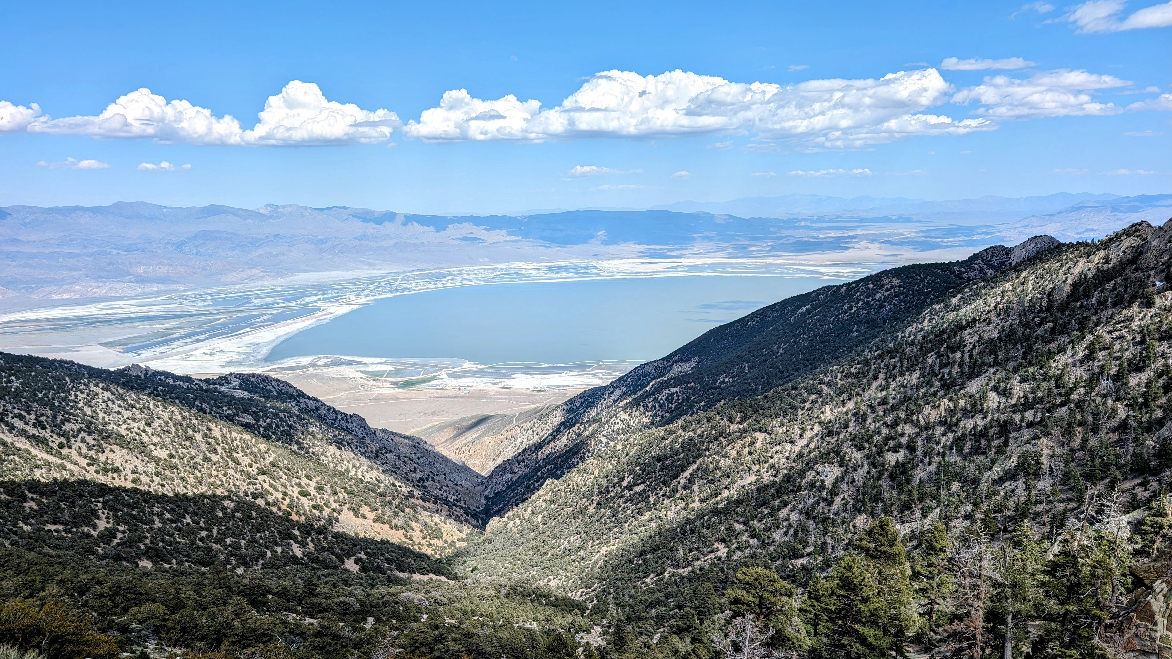

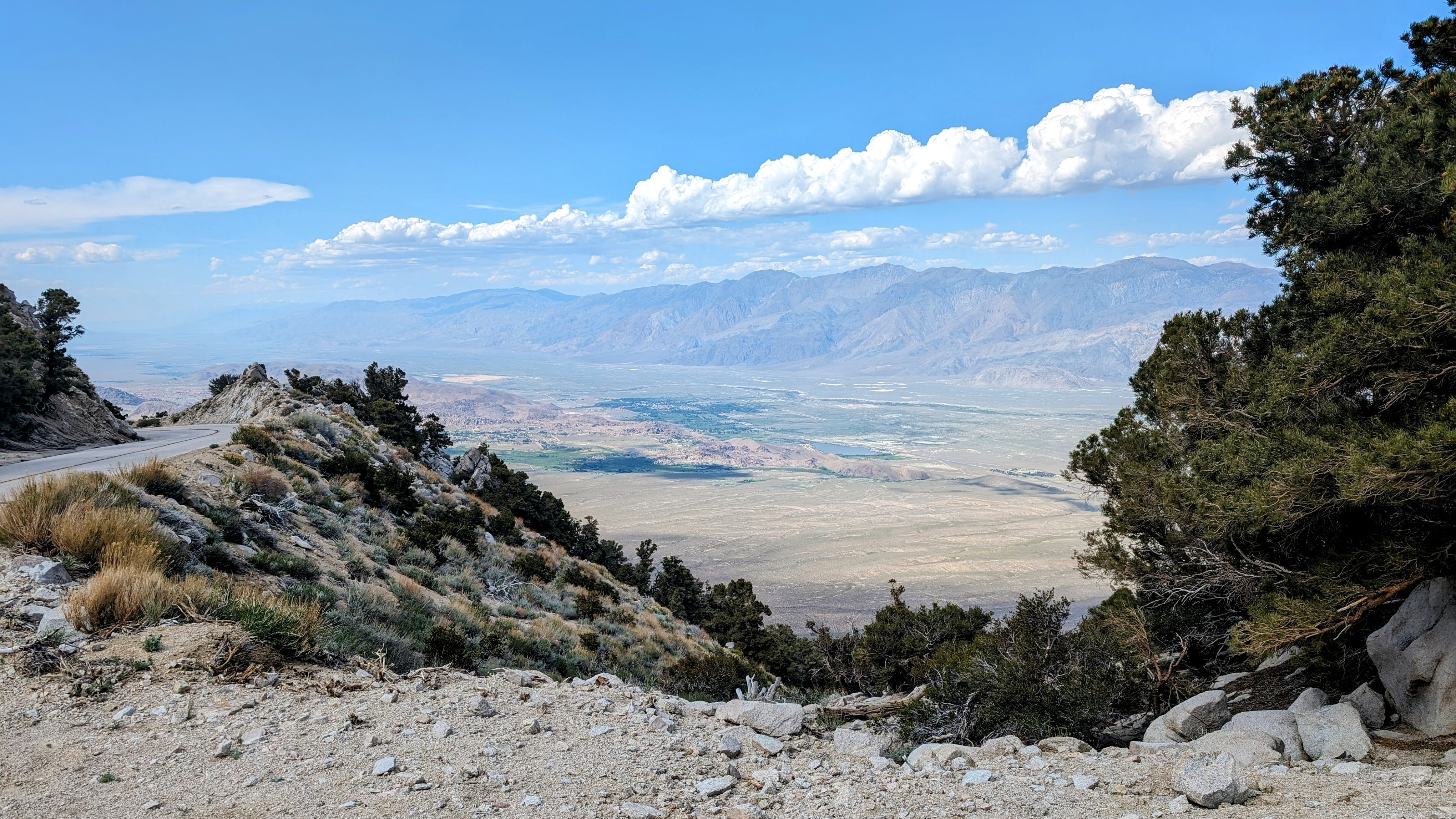
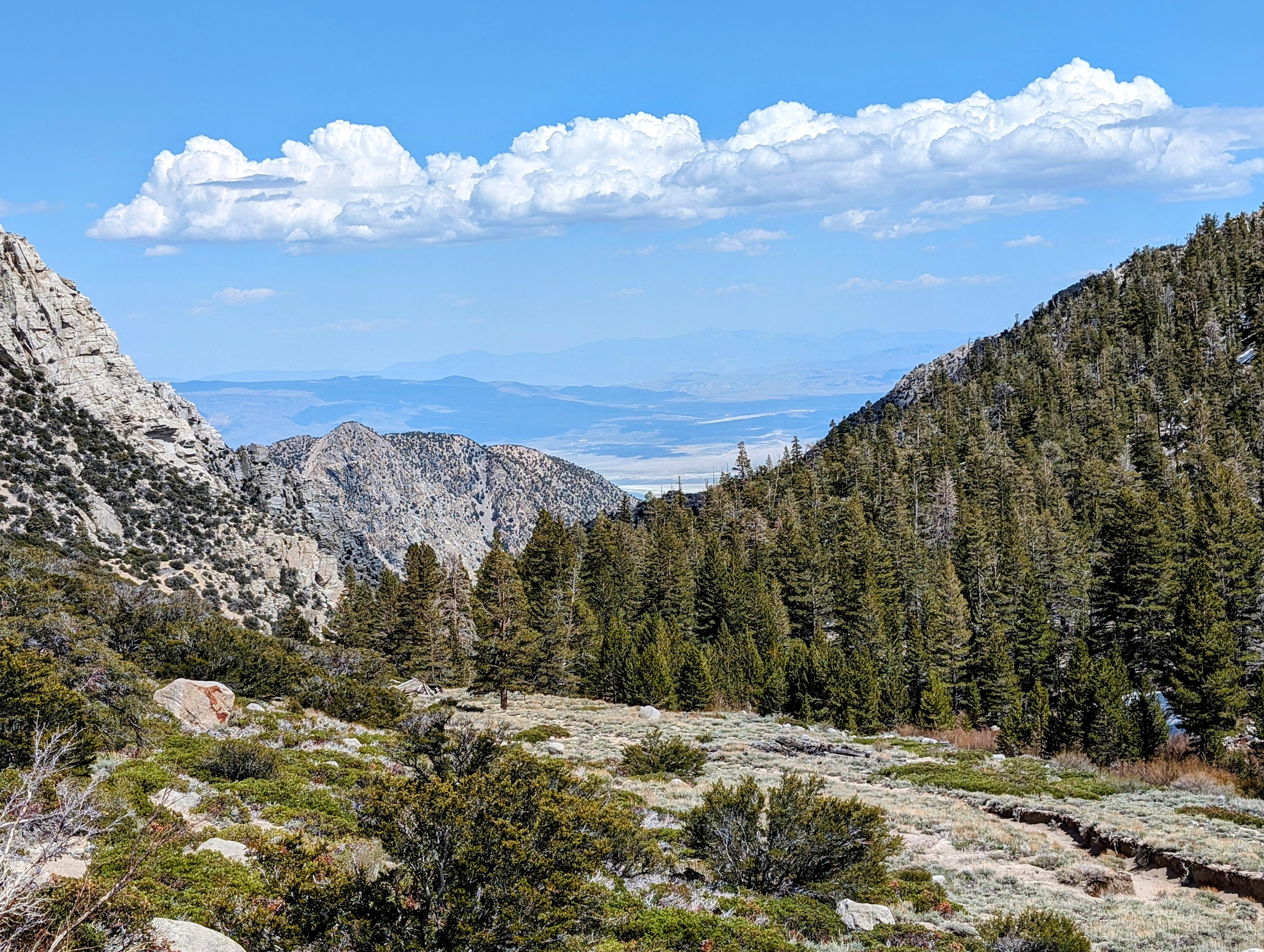
I became especially glad that I was headed east and down when storms started building over the Sierra Crest.

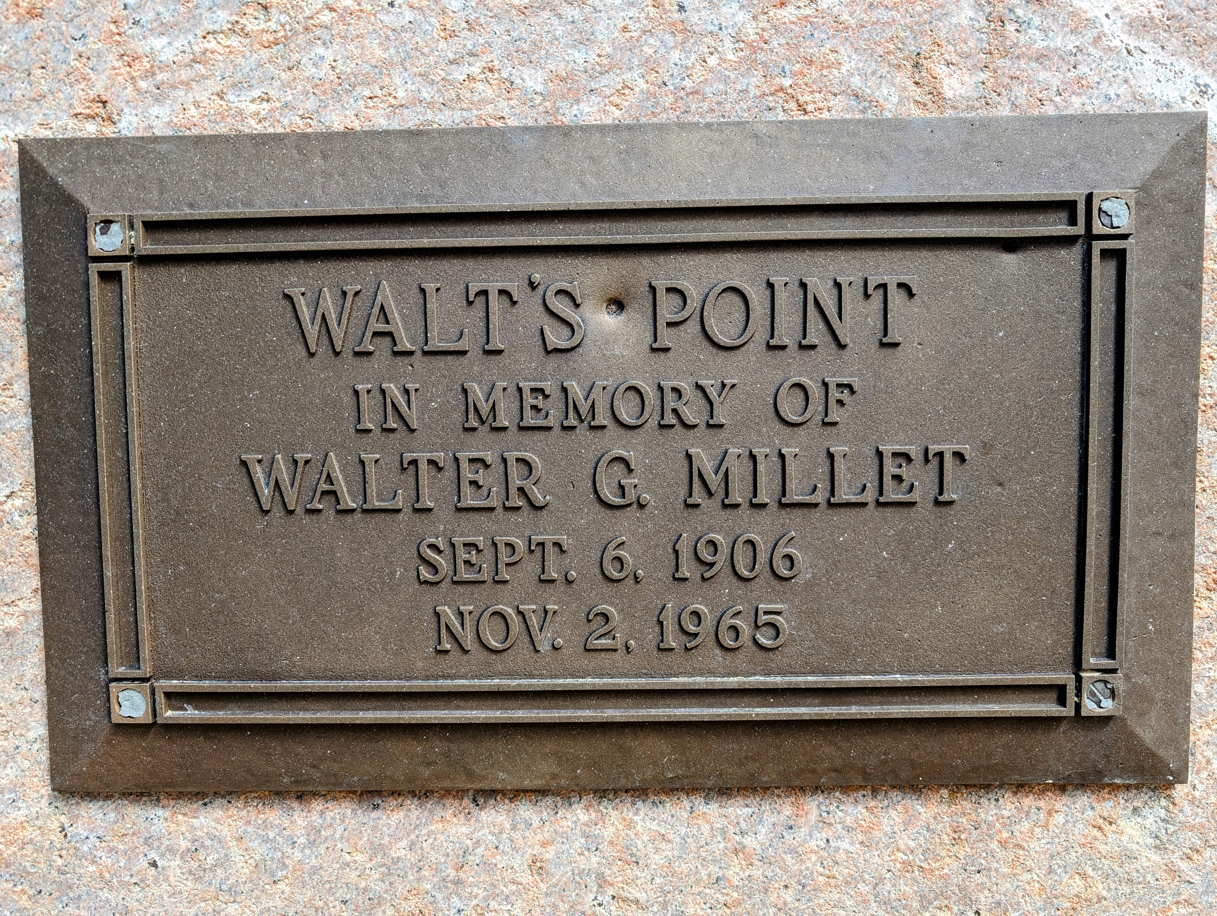
I briefly considered staying at a nice secluded campsite in the trees on a point beside the road at 8450 feet. There was even some cell signal there! But I only had one liter of water and I worried that the point would be a target for lightning. I kept moving down the road.
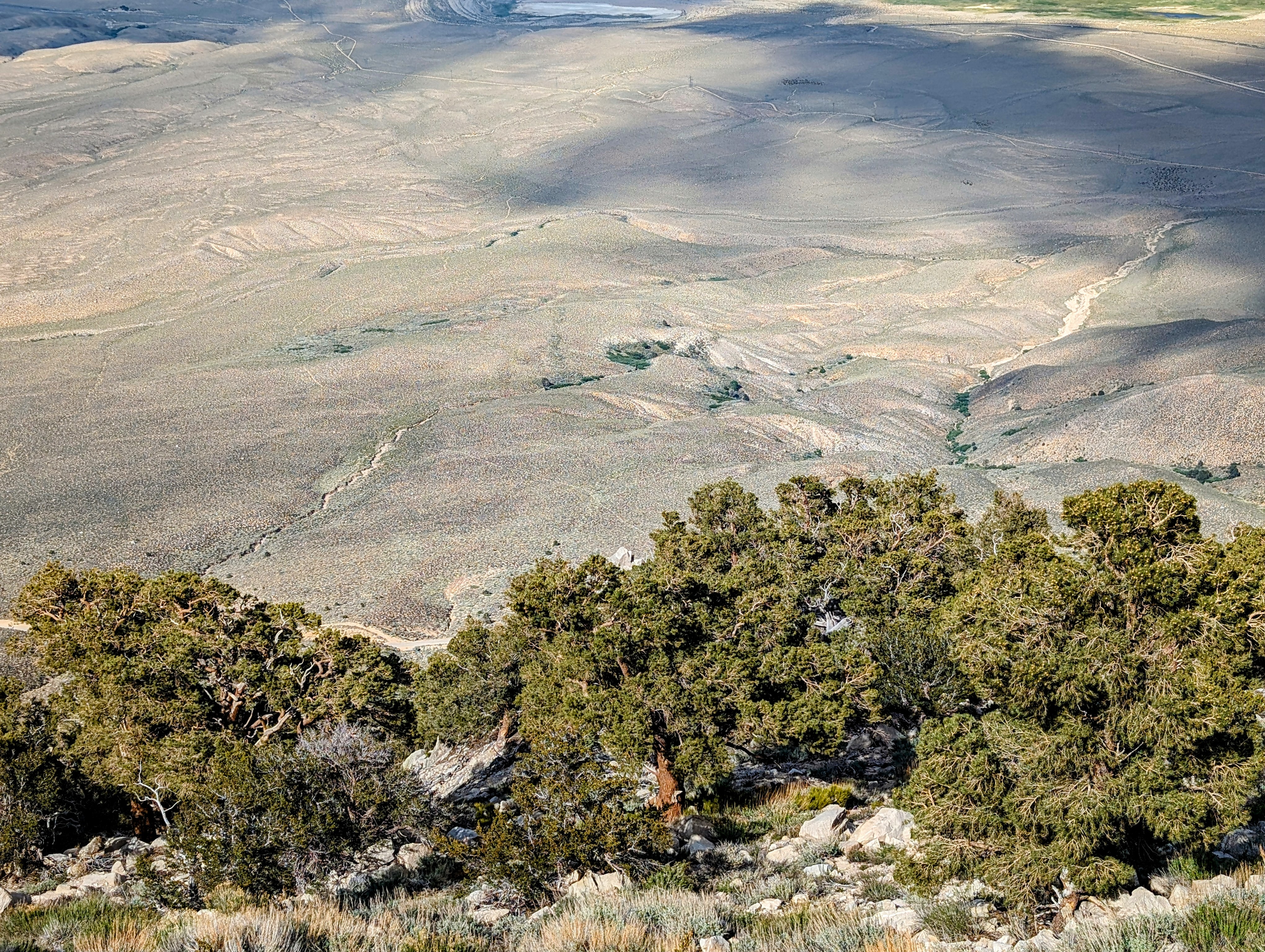
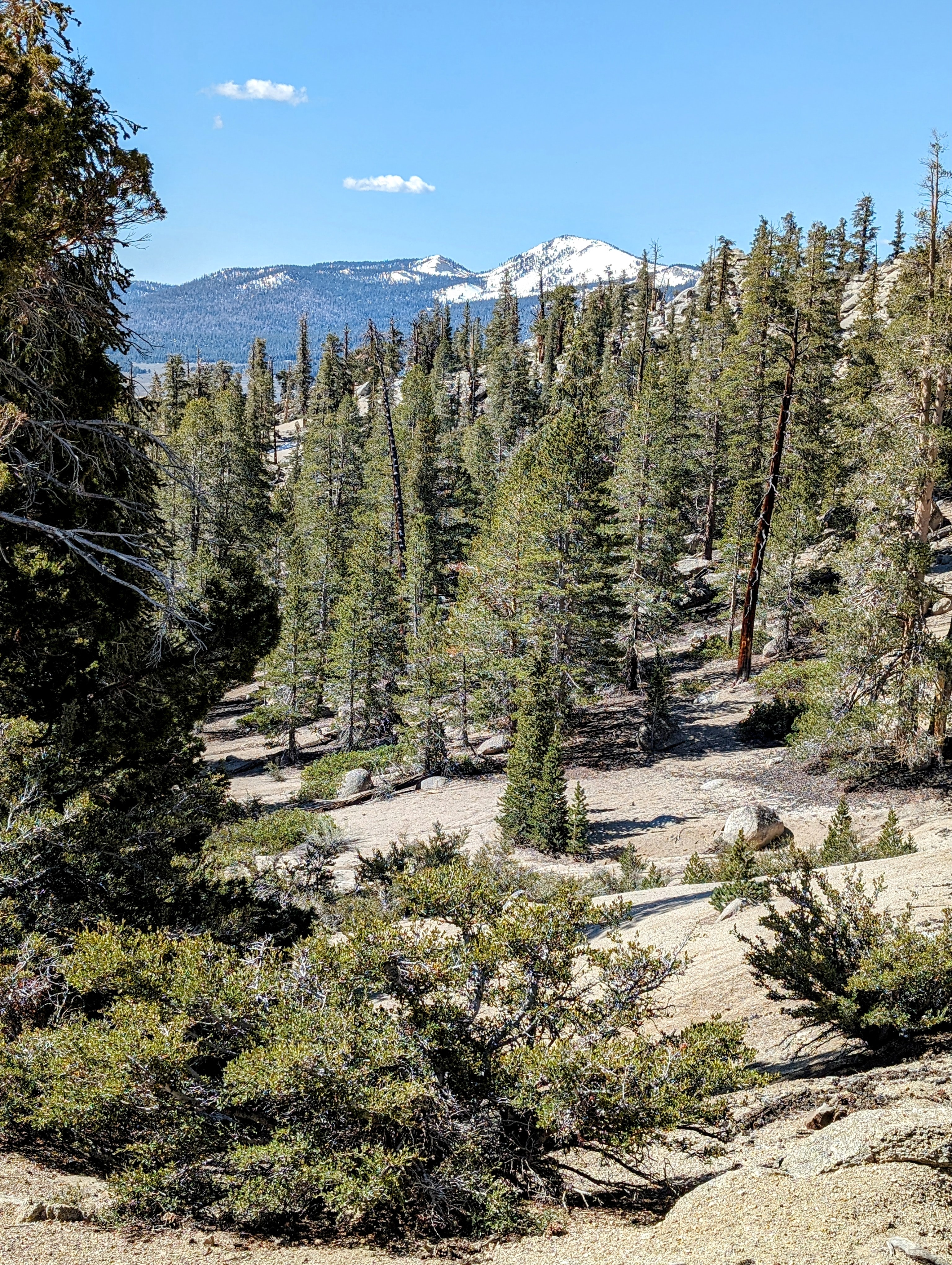
At 7300 feet, just before the second-to-last switchback, I made a happy discovery. Here the slope levels out enough that it is possible to head cross country straight down hill.
The decomposed granite made long ridges that were perfect for plunge-stepping down the hill at a gallop. I made it all the way down to the road at 6000 feet, far below the last switchback. It only took me about 15 minutes (so fun!), and I think it saved me an hour of road walking.
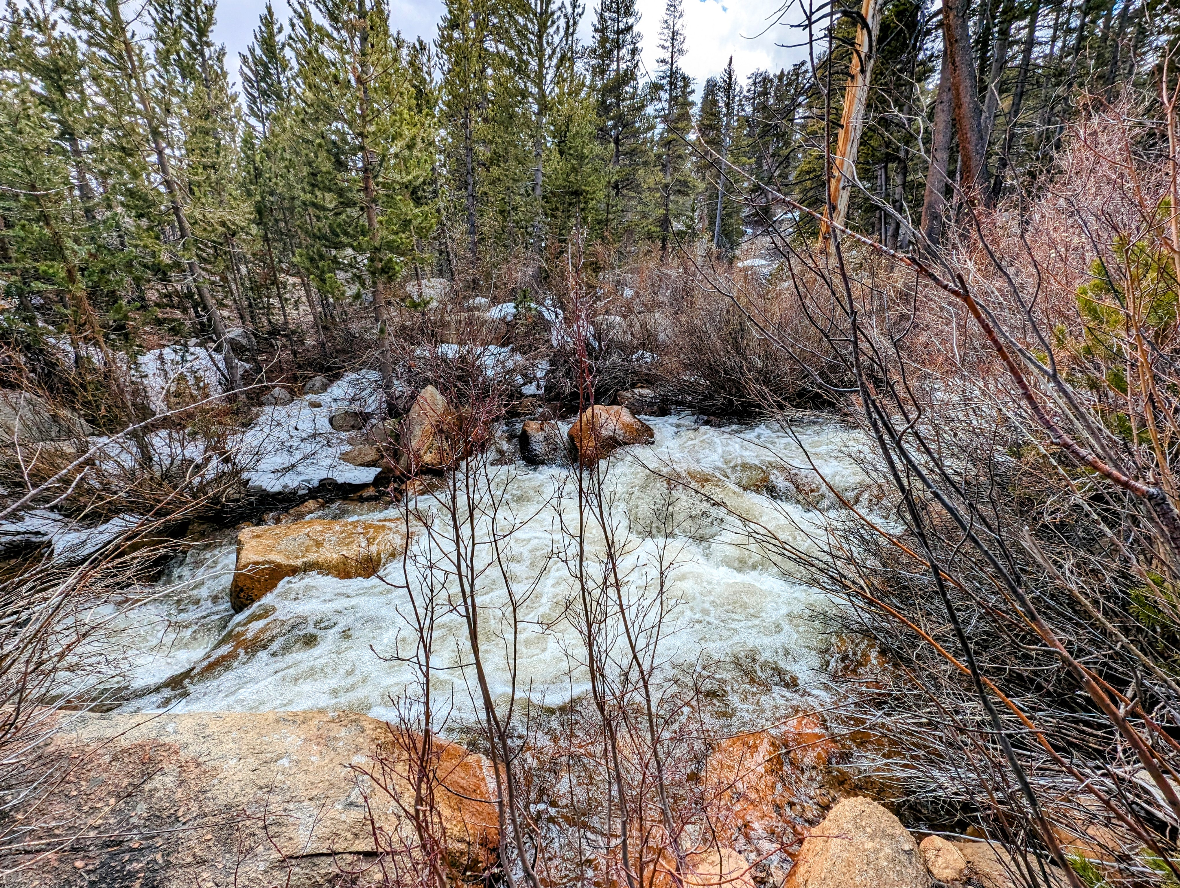
At Carroll Creek I planned to get water, but the road is high above it at the crossing and the way down was choked with vegetation. Instead I went in to the Delacour cabins to ask if I could fill up from a tap. No one was there, but I found the tap.
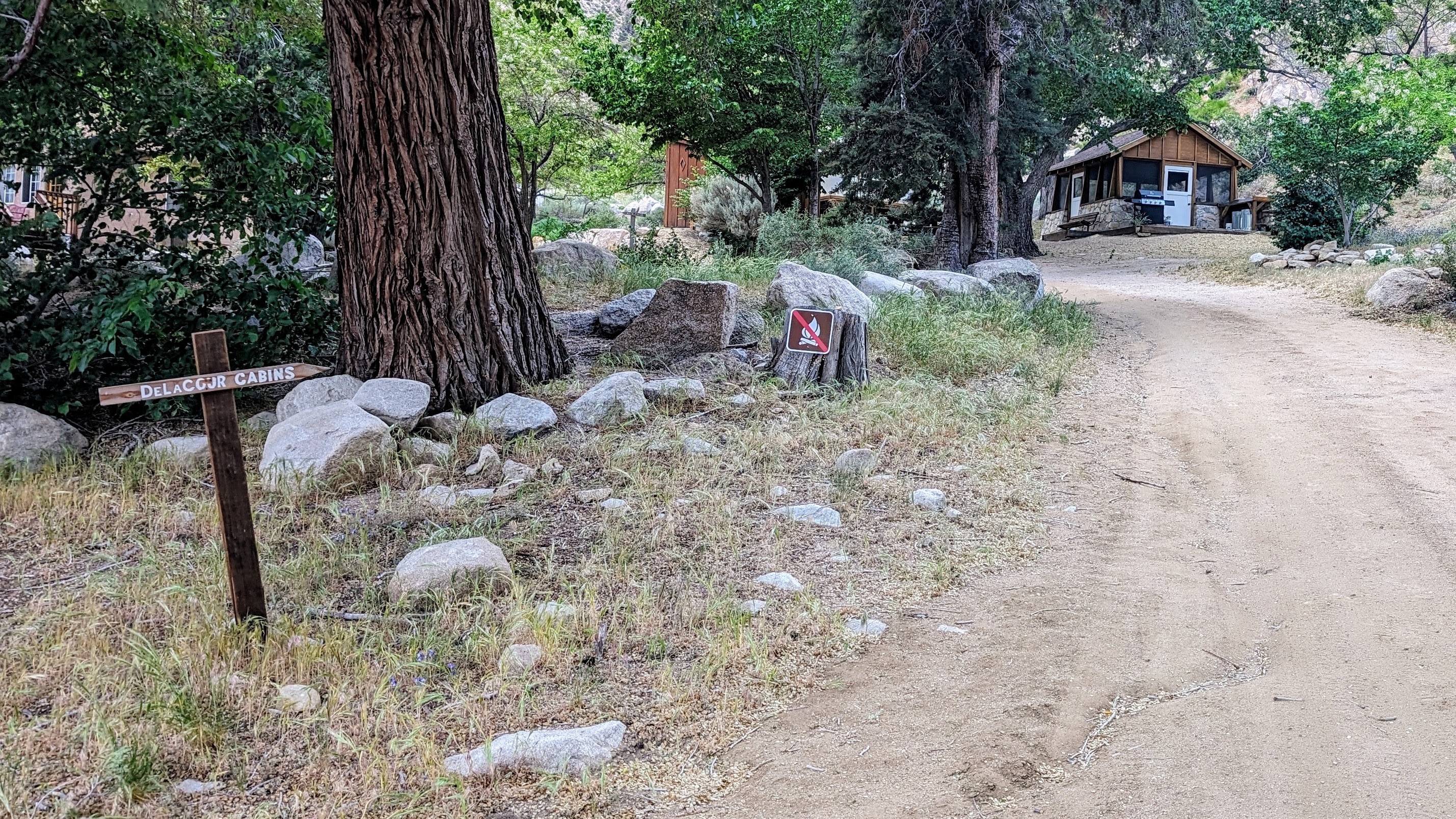
And then I followed a jeep road above Carroll Creek just far enough off the road to find a place to nestle my tent between the sage.
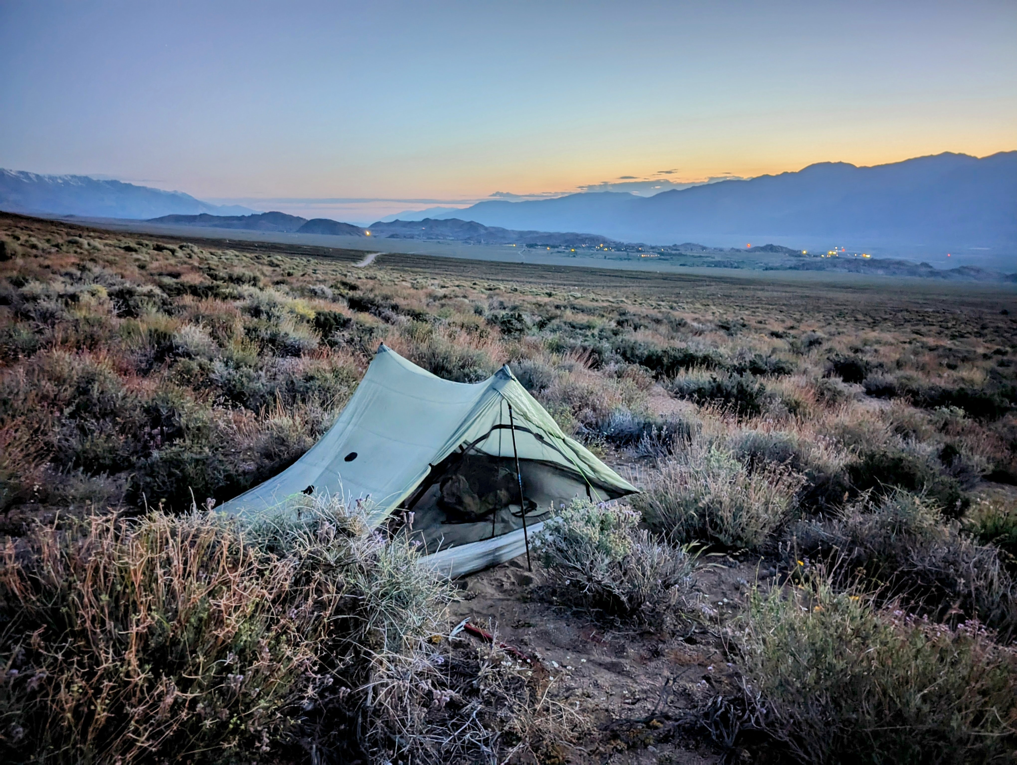
It was lovely to be warm, and I was close enough to town I could use my phone to call my wife and catch up with the world.
Watching the sunset from here was one of the favorite things I have ever done.
