16 May 2024
Jackass Creek Trail to Broder Meadow to Monache Meadow to Bakeoven Trail
(21 miles, +3,000/2,100 feet).
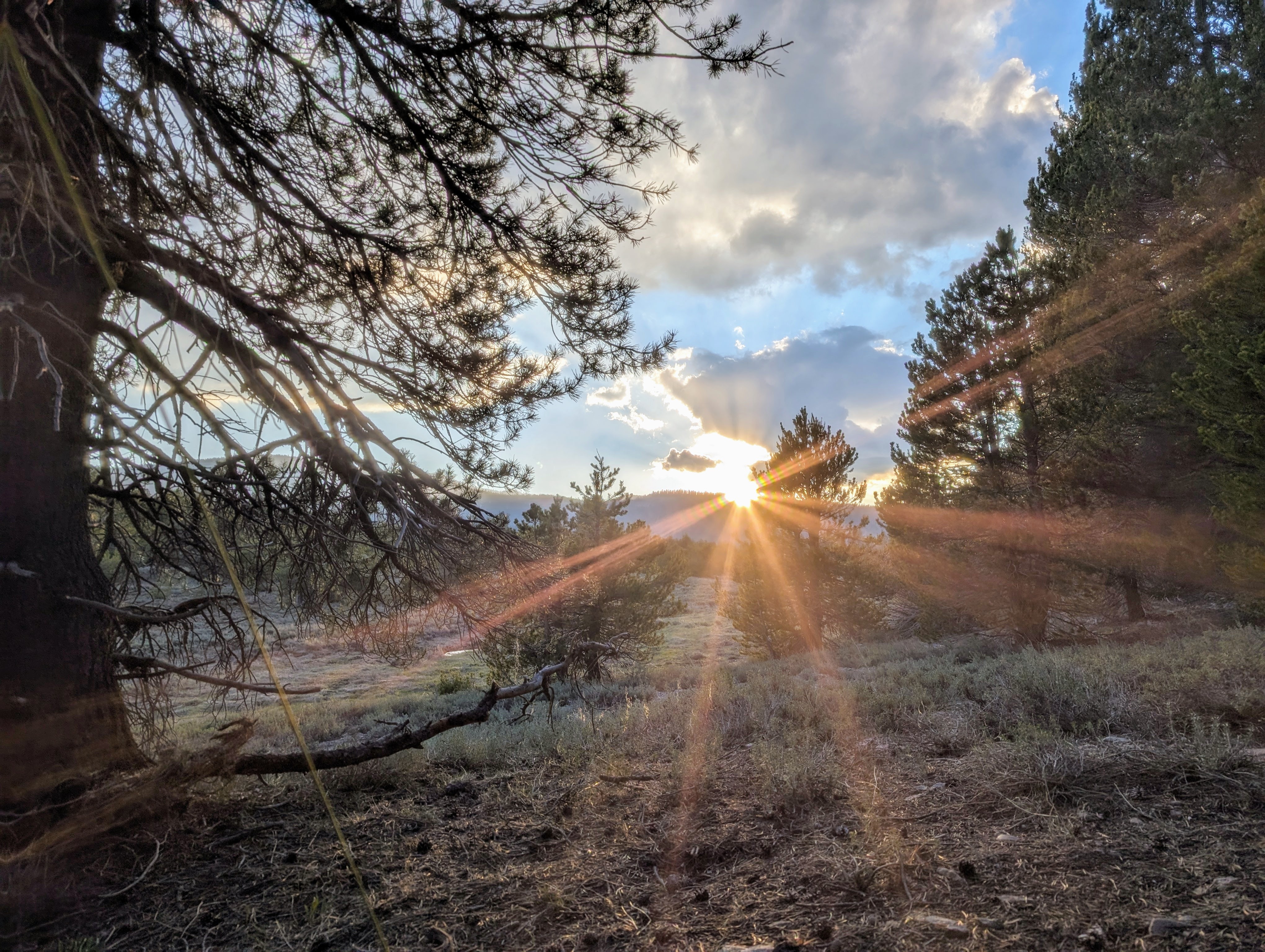
I awoke chilled this morning, so I was eager to get going. Movement always warms me!
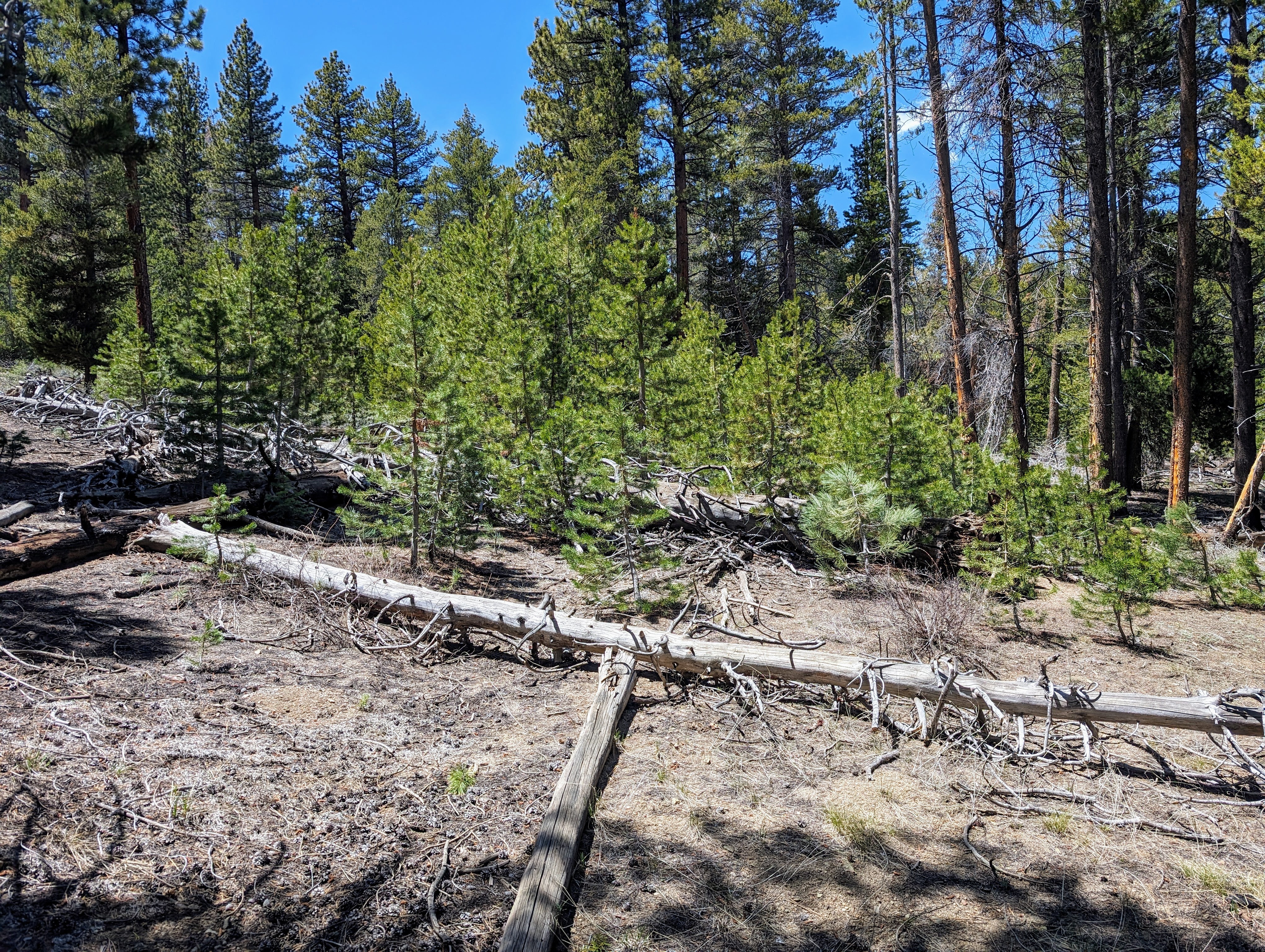
Sequoia National Forest is very nice, but these OHV trails between the wilderness areas are a bit annoying. They frequently include moguls that I’m sure are fun on a motorcycle, but for a hiker the ups and downs are frustrating.
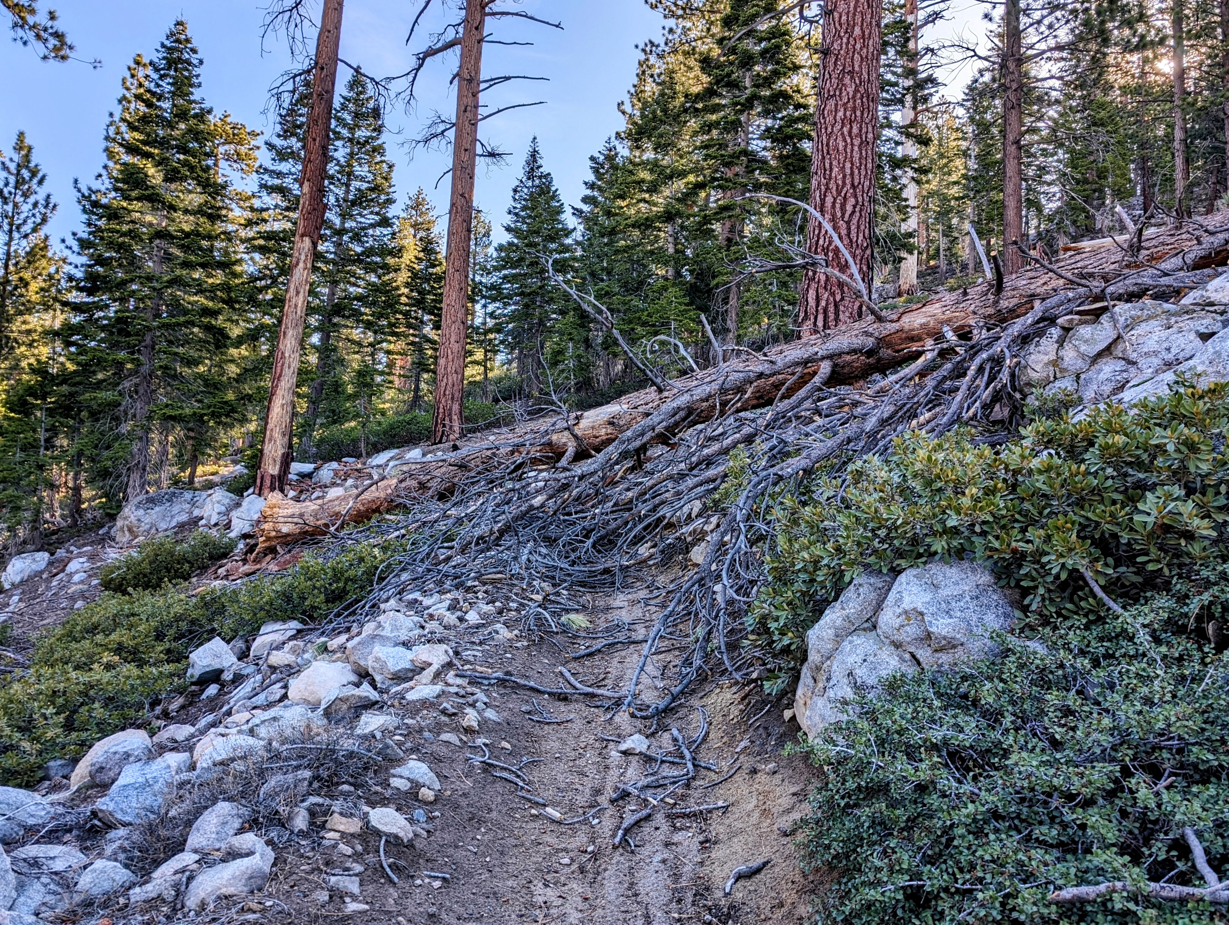
That said, I don’t think motorcycles have been on this trail yet this year given all the blow downs.
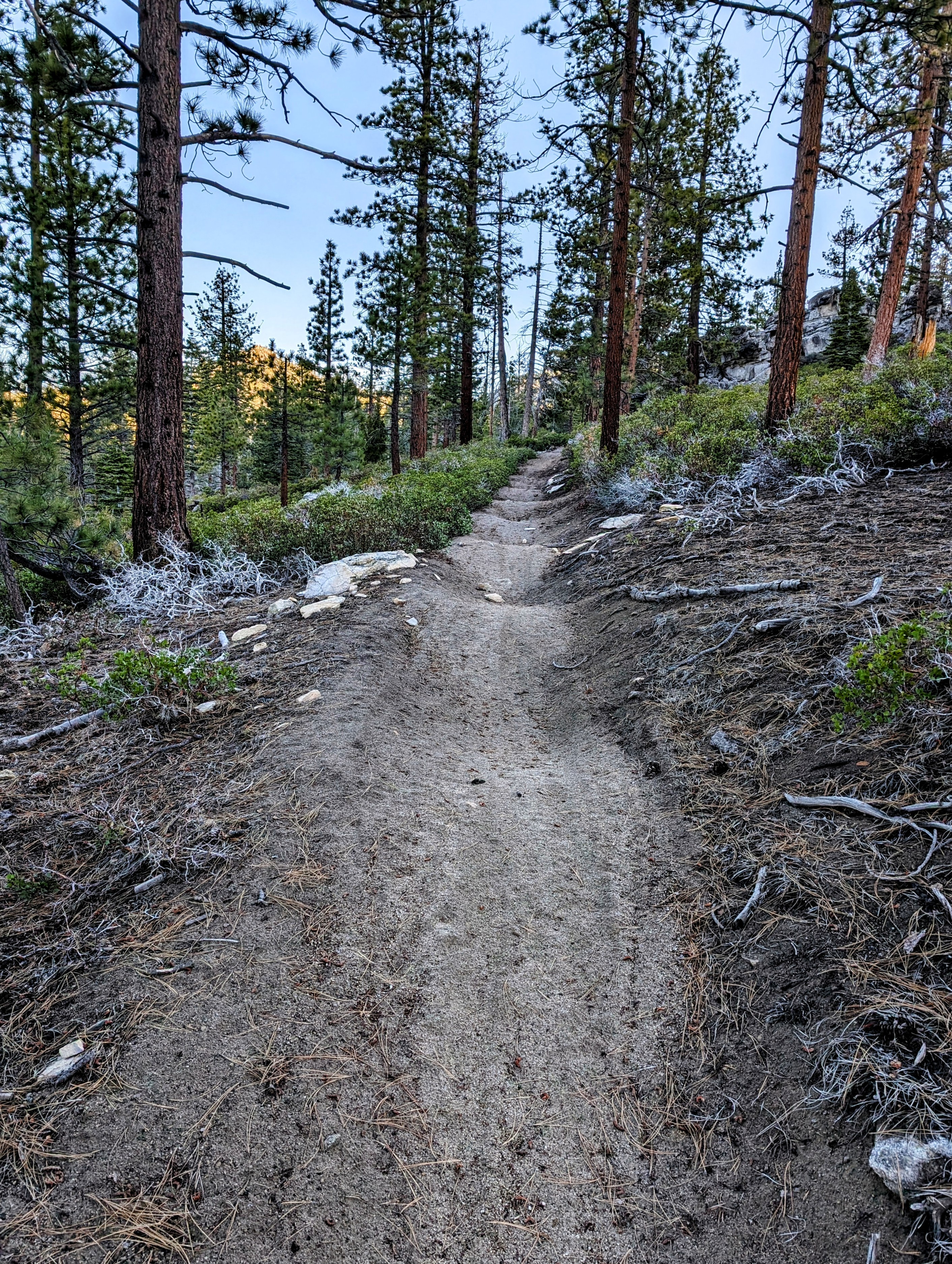
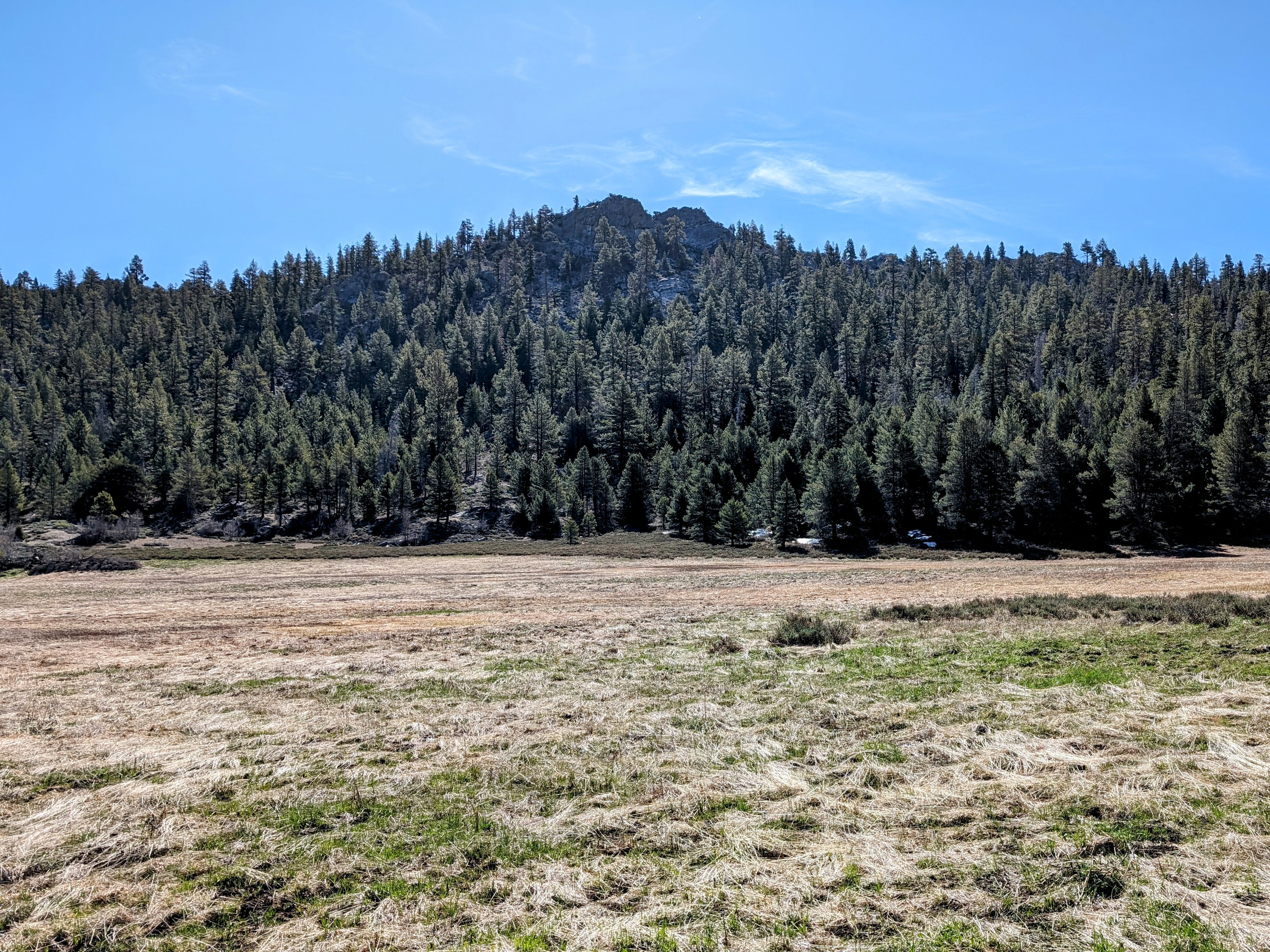
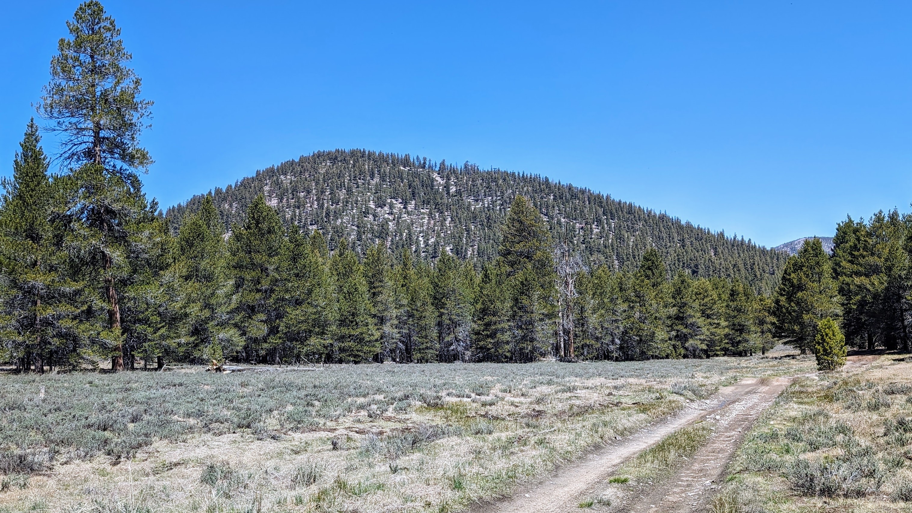
It was a slow but steady climb up to Jackass Peak.
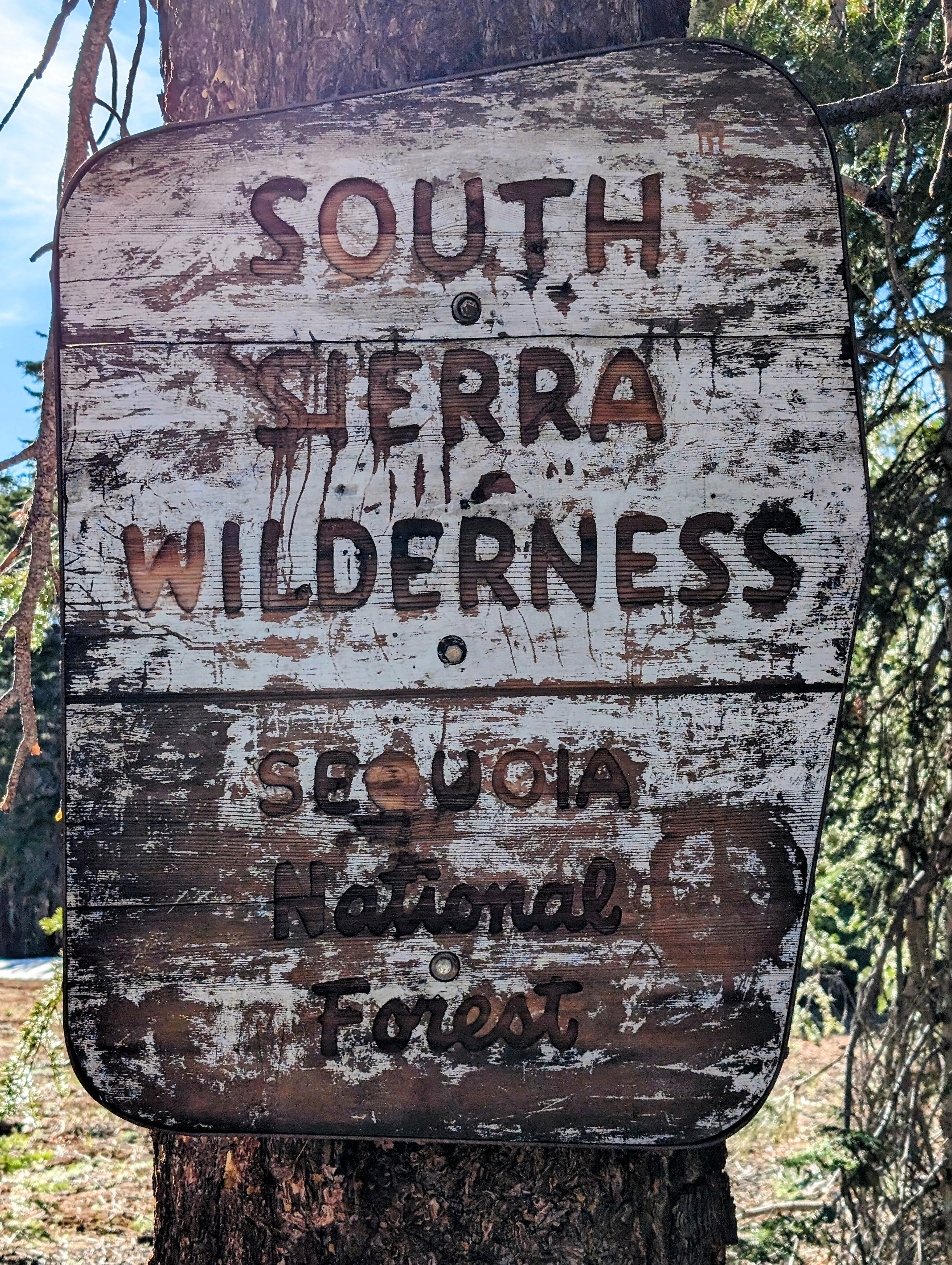
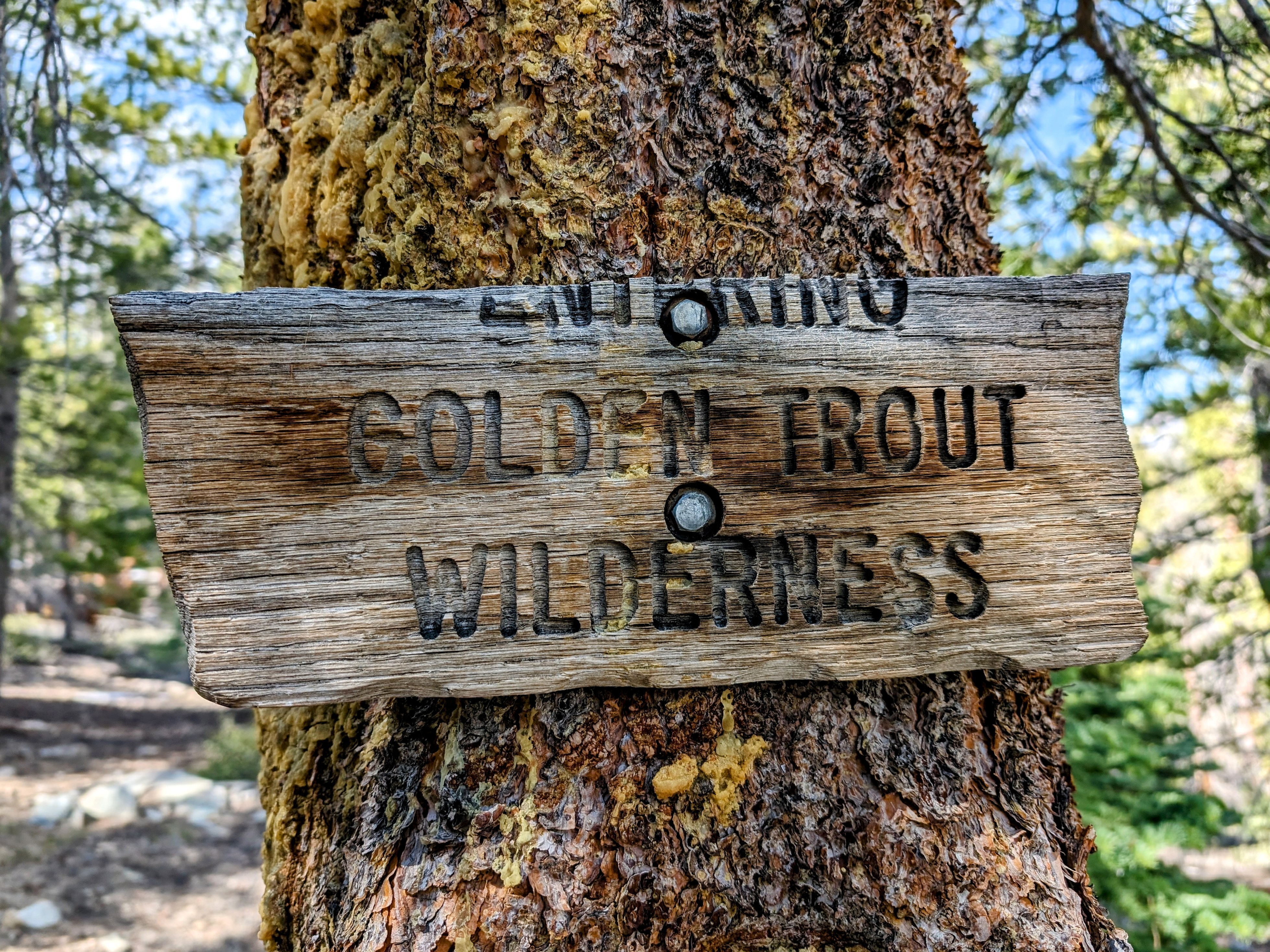
And then a right turn into the wilderness.
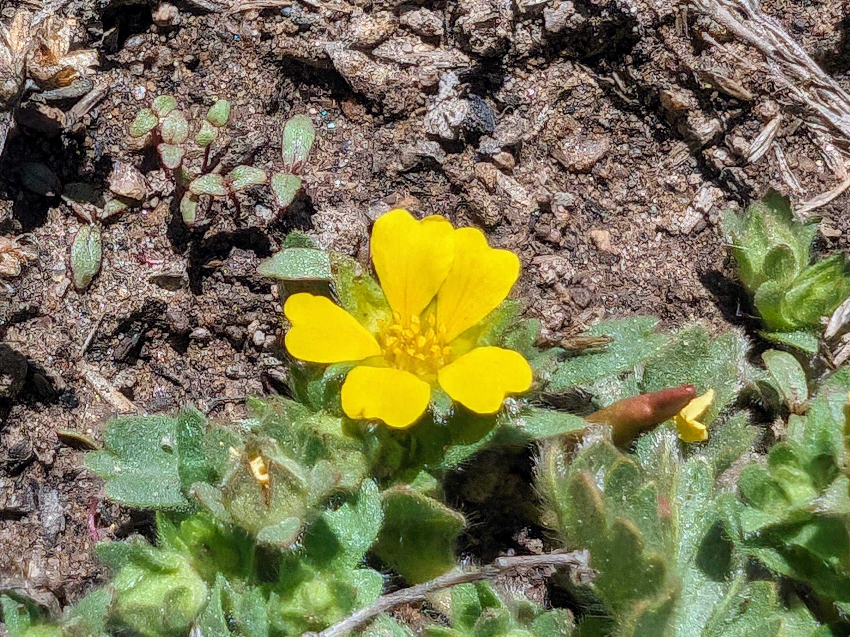
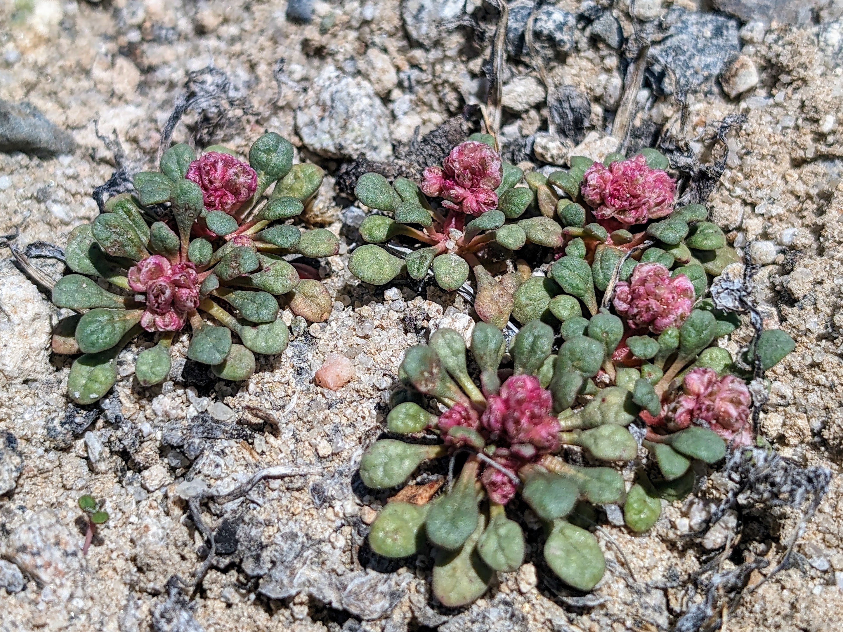
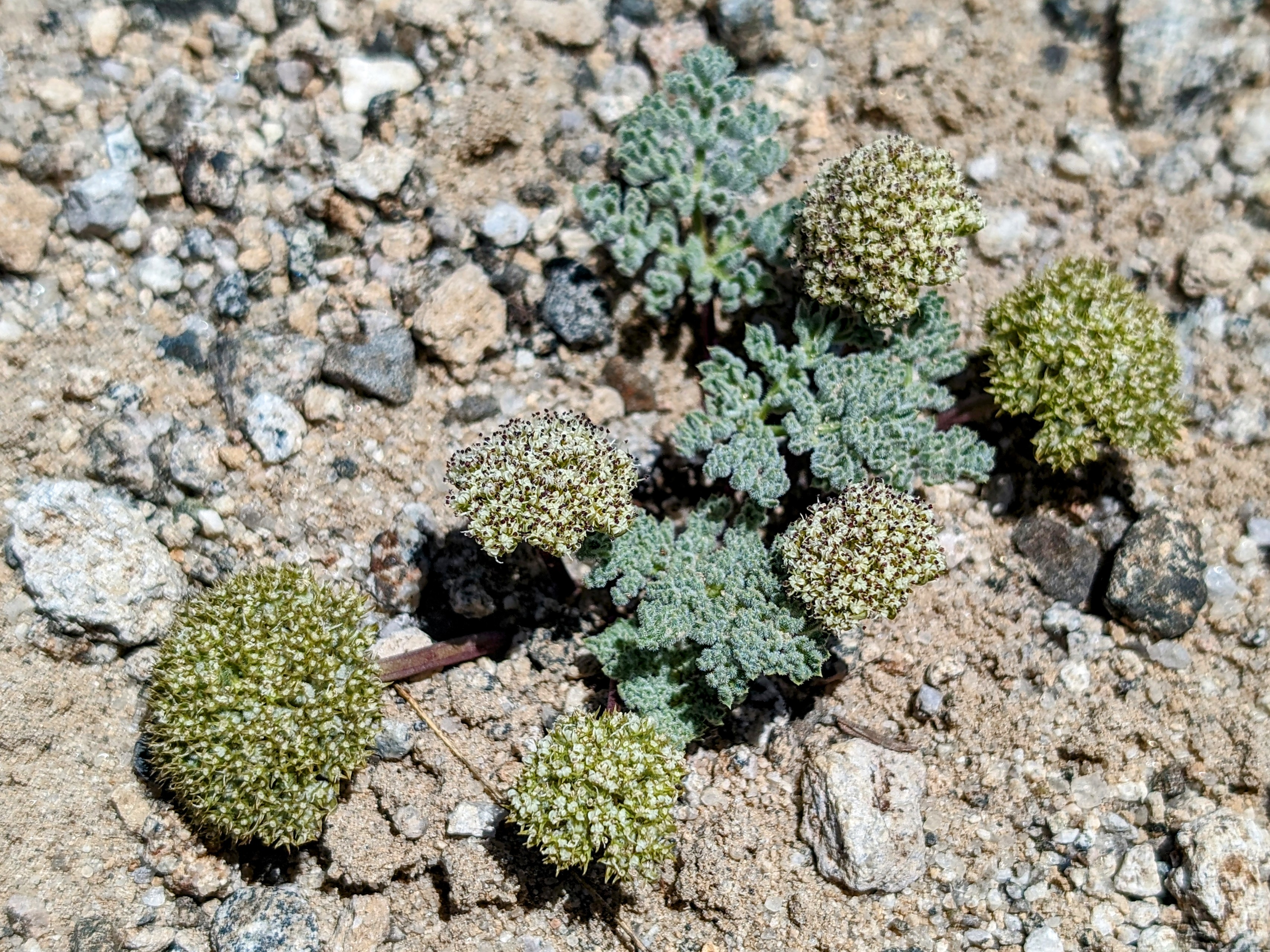
The meadows near Jackass Peak were super flat and therefore swampy and annoying. I walked a lattice of blow downs to keep my feet dry.
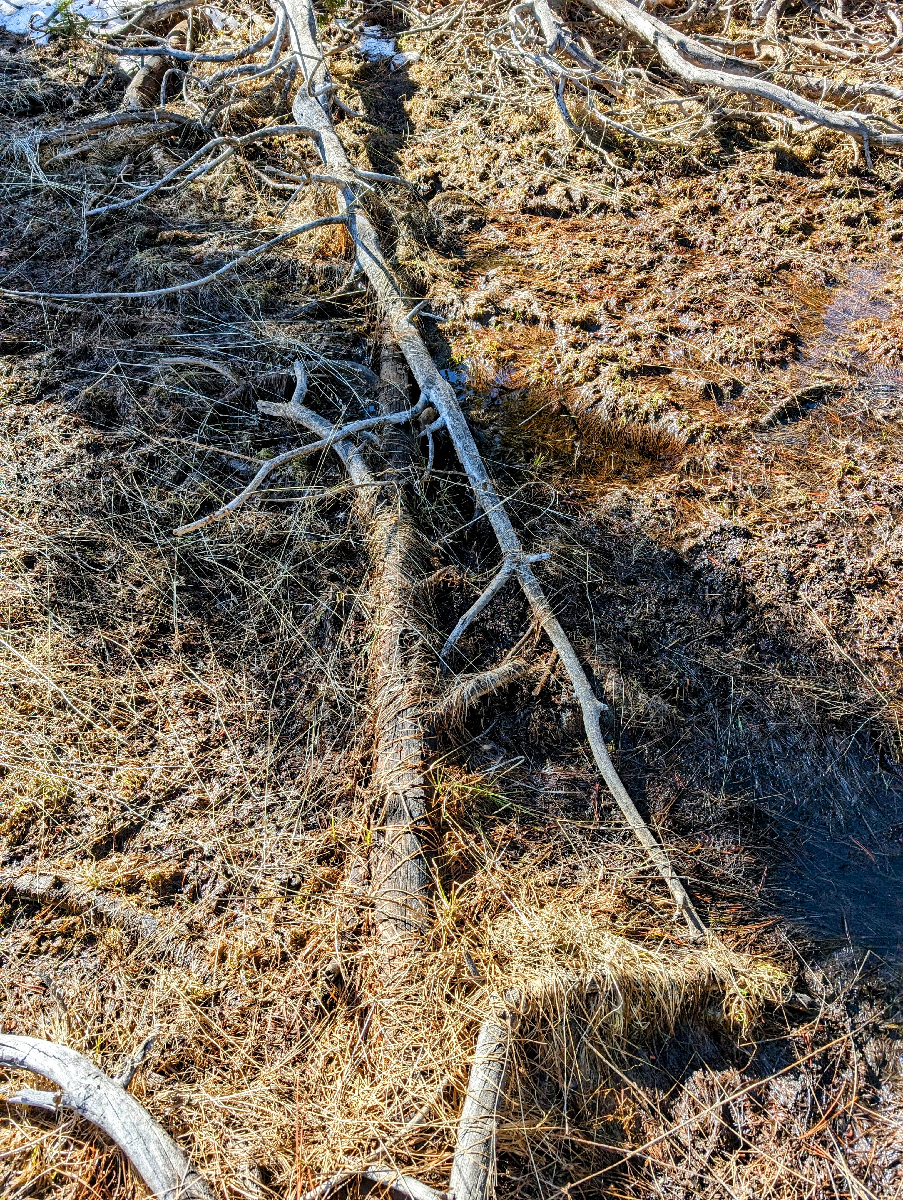
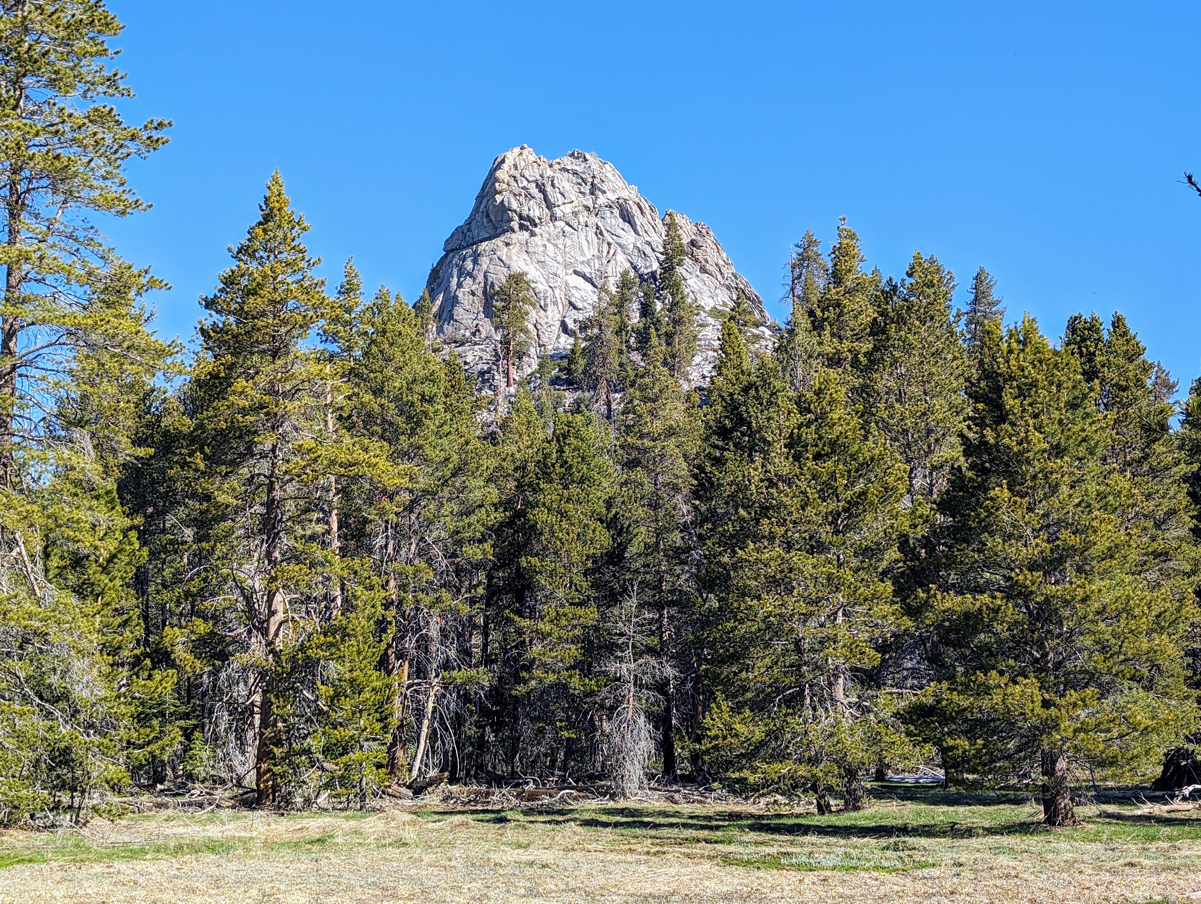
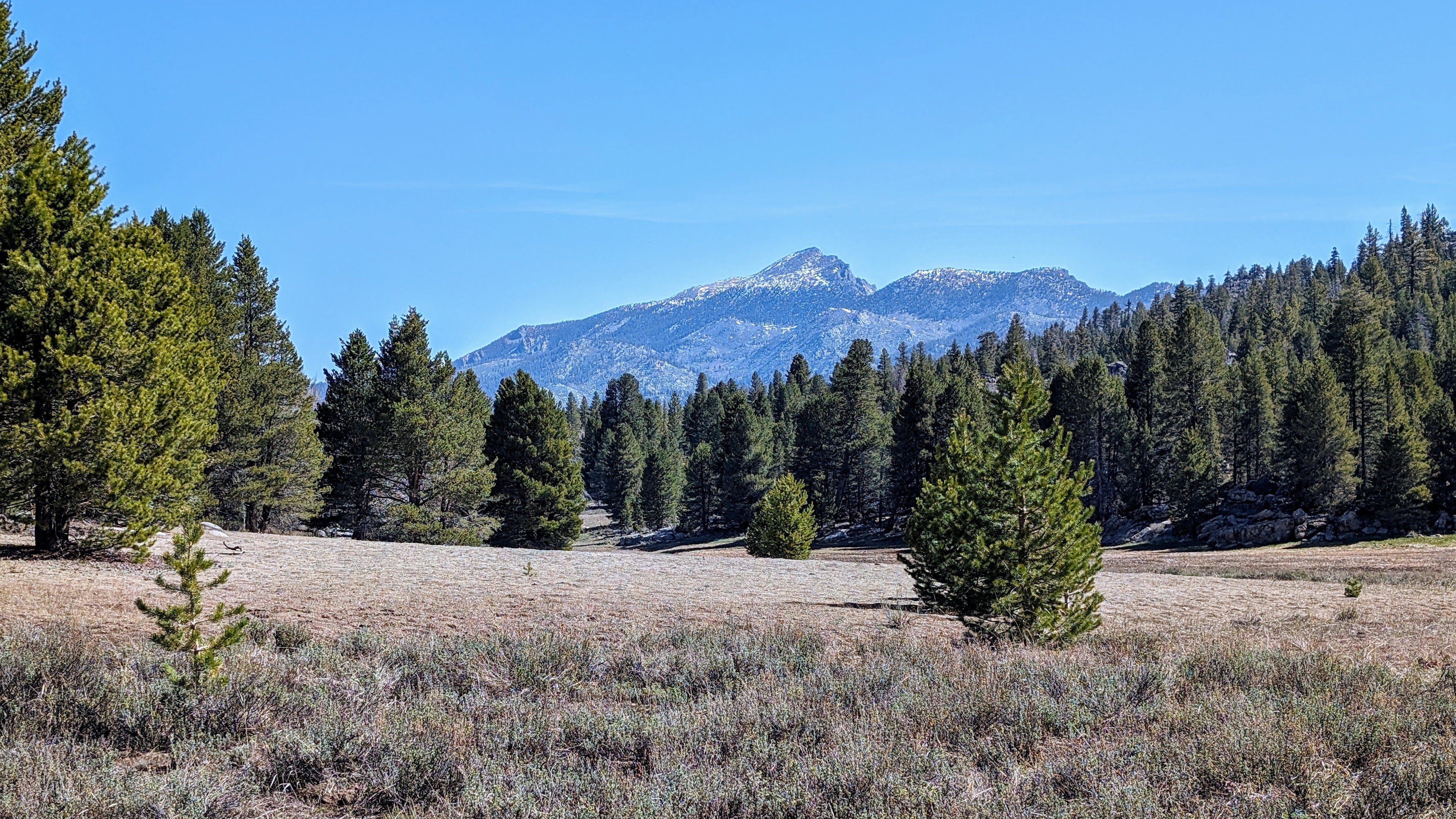
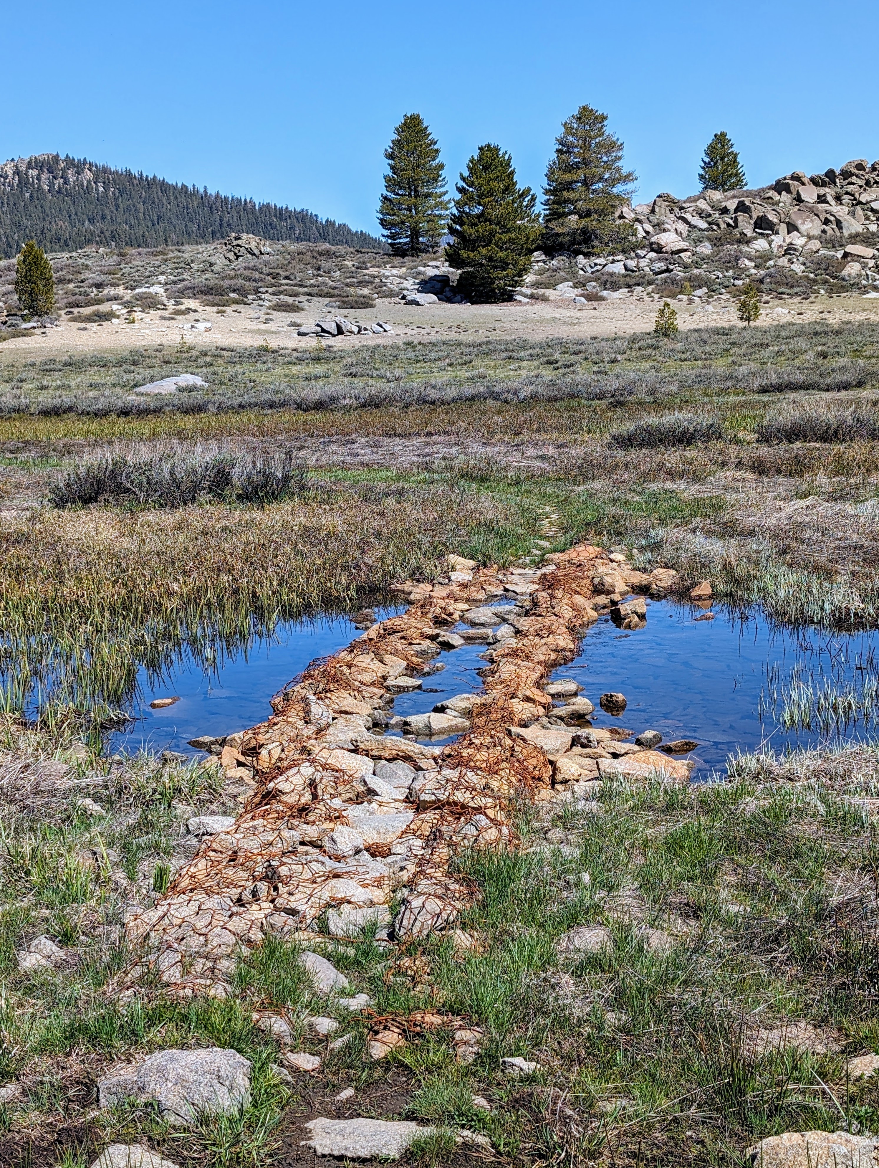
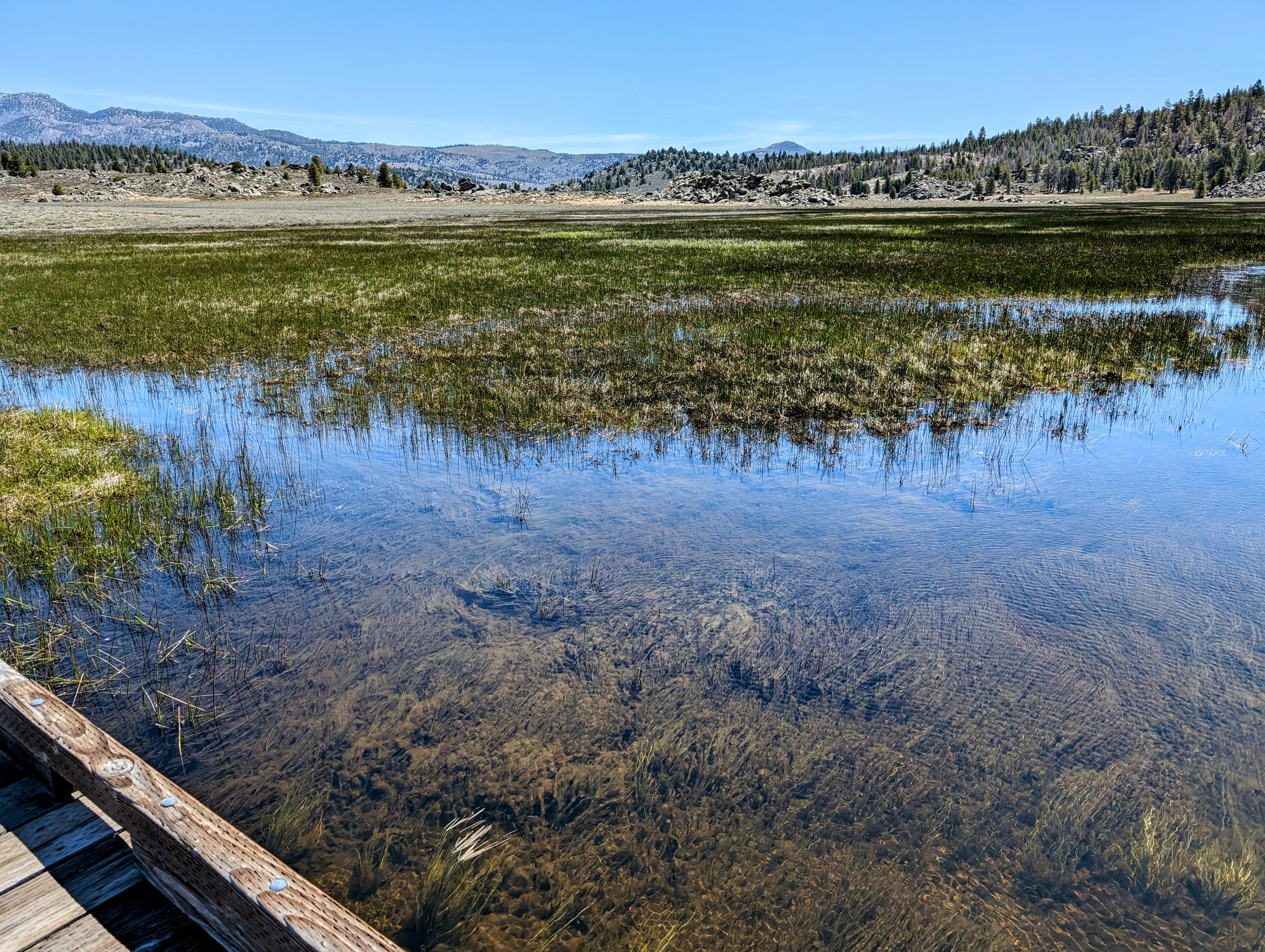
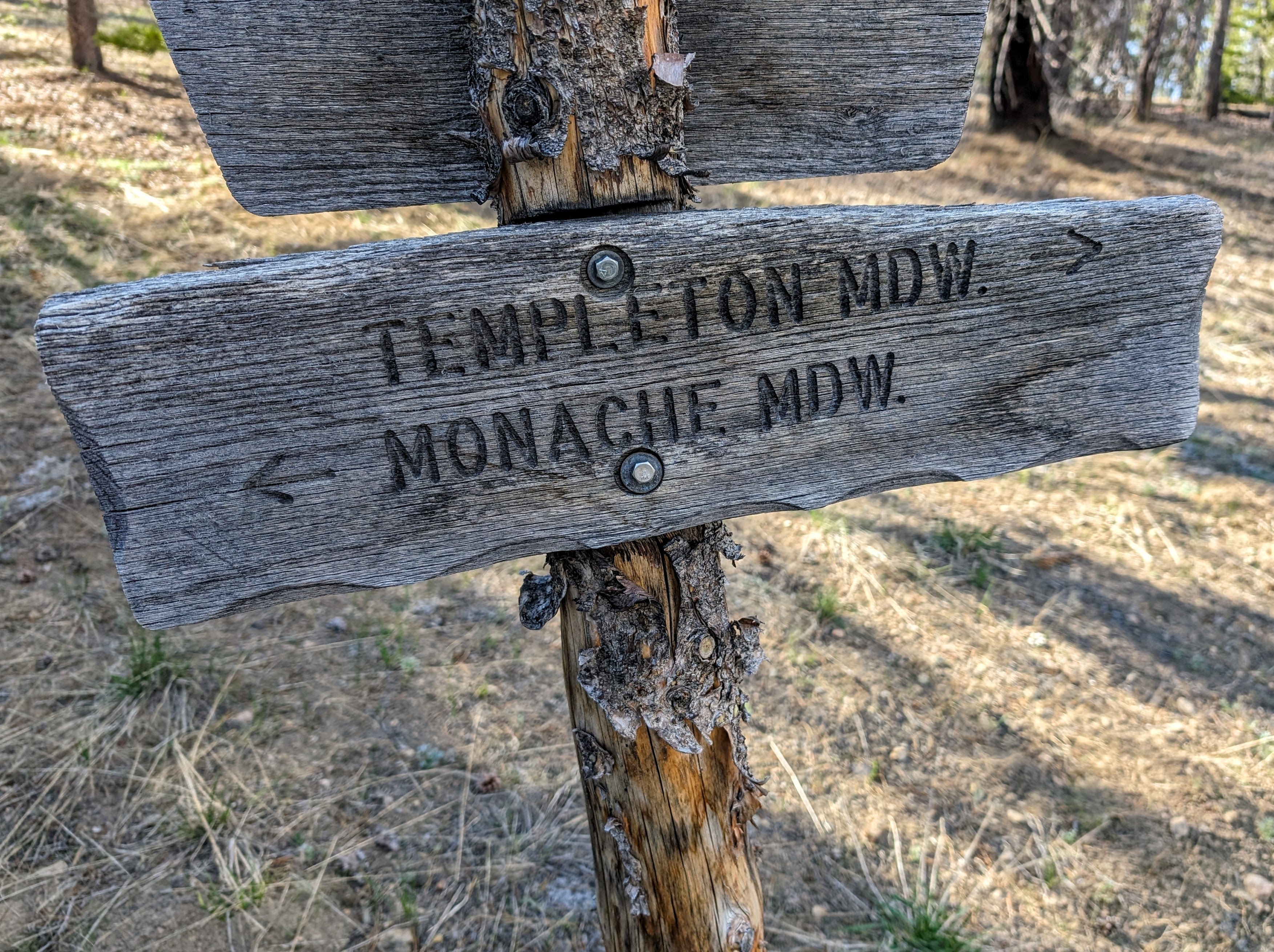
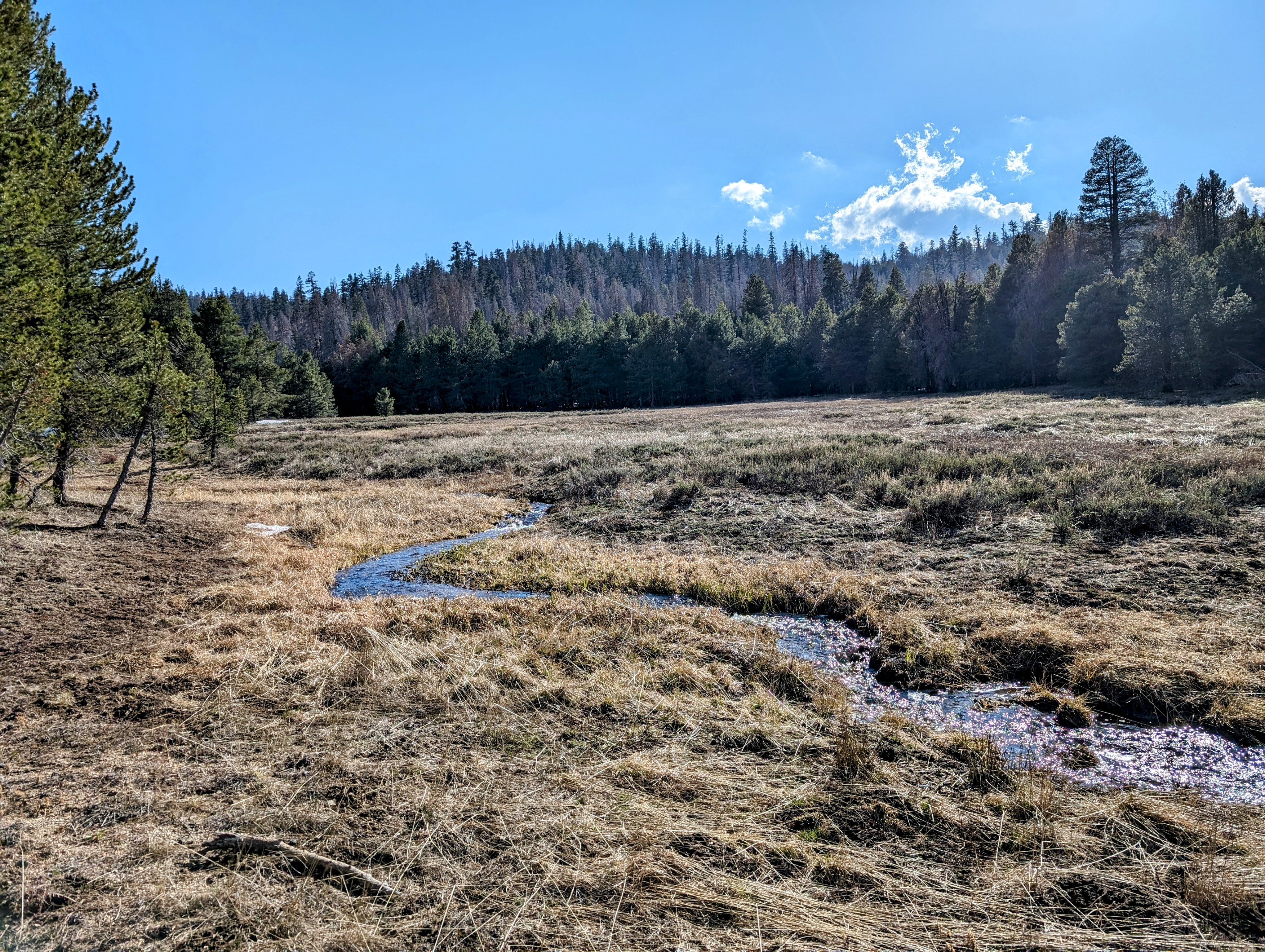
At Broder Meadow the trail went straight into the swamp of the meadow. To keep my feet dry, I stayed in the sagebrush, heading parallel to the trail cross country. This involved climbing over some piles of boulders occasionally, but I didn’t mind the climbs. They brought me to some really nice views.
At one point I thought I needed to cross the creek. I couldn’t find a dry crossing, so I removed my shoes and waded across.
But then I realized I didn’t need to cross!
D’oh!
And back I went.
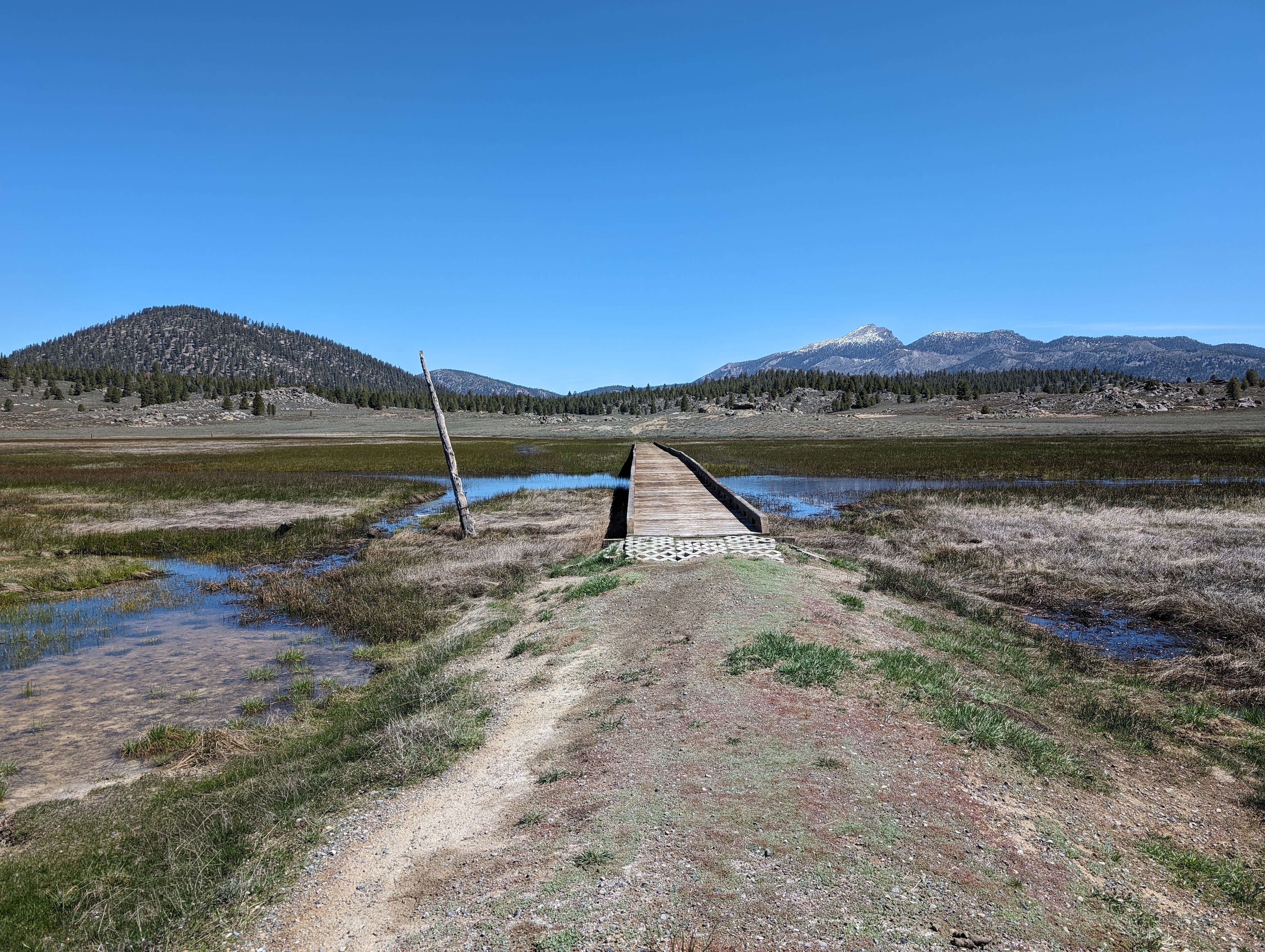
I got a little nervous about all the meadows I would actually need to cross as I made my way around Monache Mountain. But soon I found the OHV trails. They don’t build crossings for hikers, but they sure do for motorcycles!
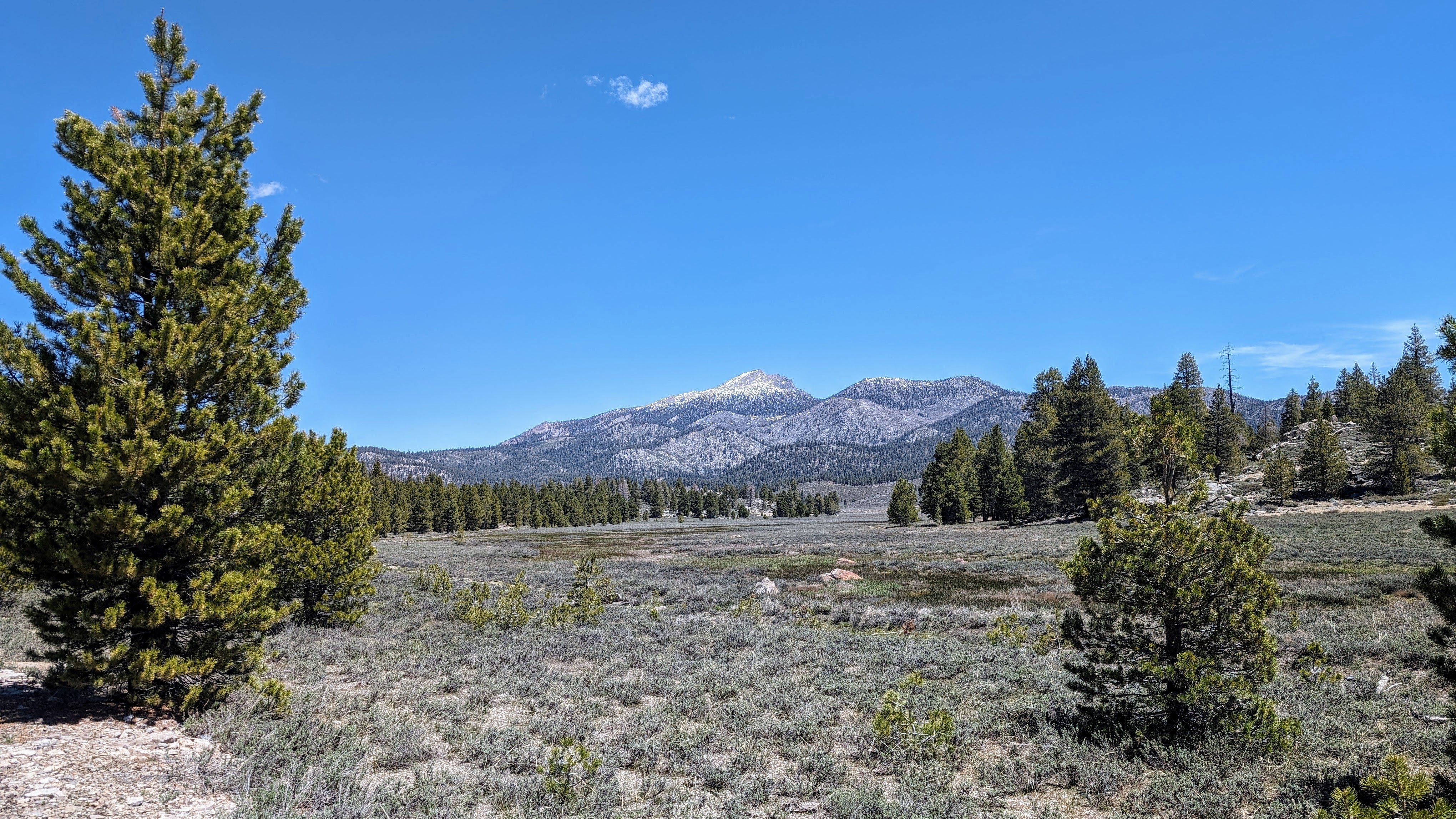
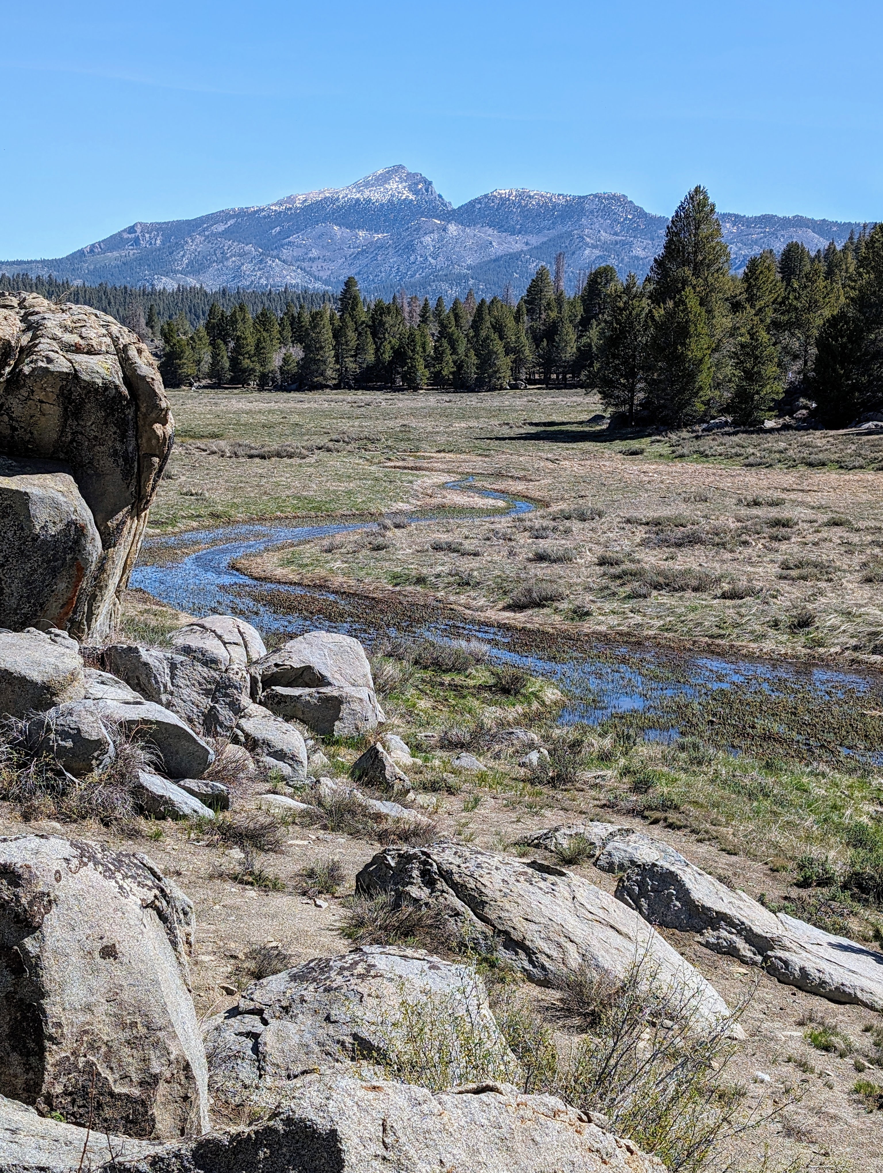
Past Monache Meadow I turned west to follow the south side of Soda Creek. I thought this was allowed according to a Forest service map I saw a couple of miles back. But there was a big “private property, no trespassing” sign. Apparently this is the Anchor Ranch.
On the other hand, I was in the middle of Day 3 of seeing absolutely no one on trail.
So I decided to ignore it and I proceeded past several buildings around a horse corral. I kept to the road, which turned into a trail on its way to a national forest administrative site with another corral.
And from there was a nice forest service jeep road to follow across the meadow.
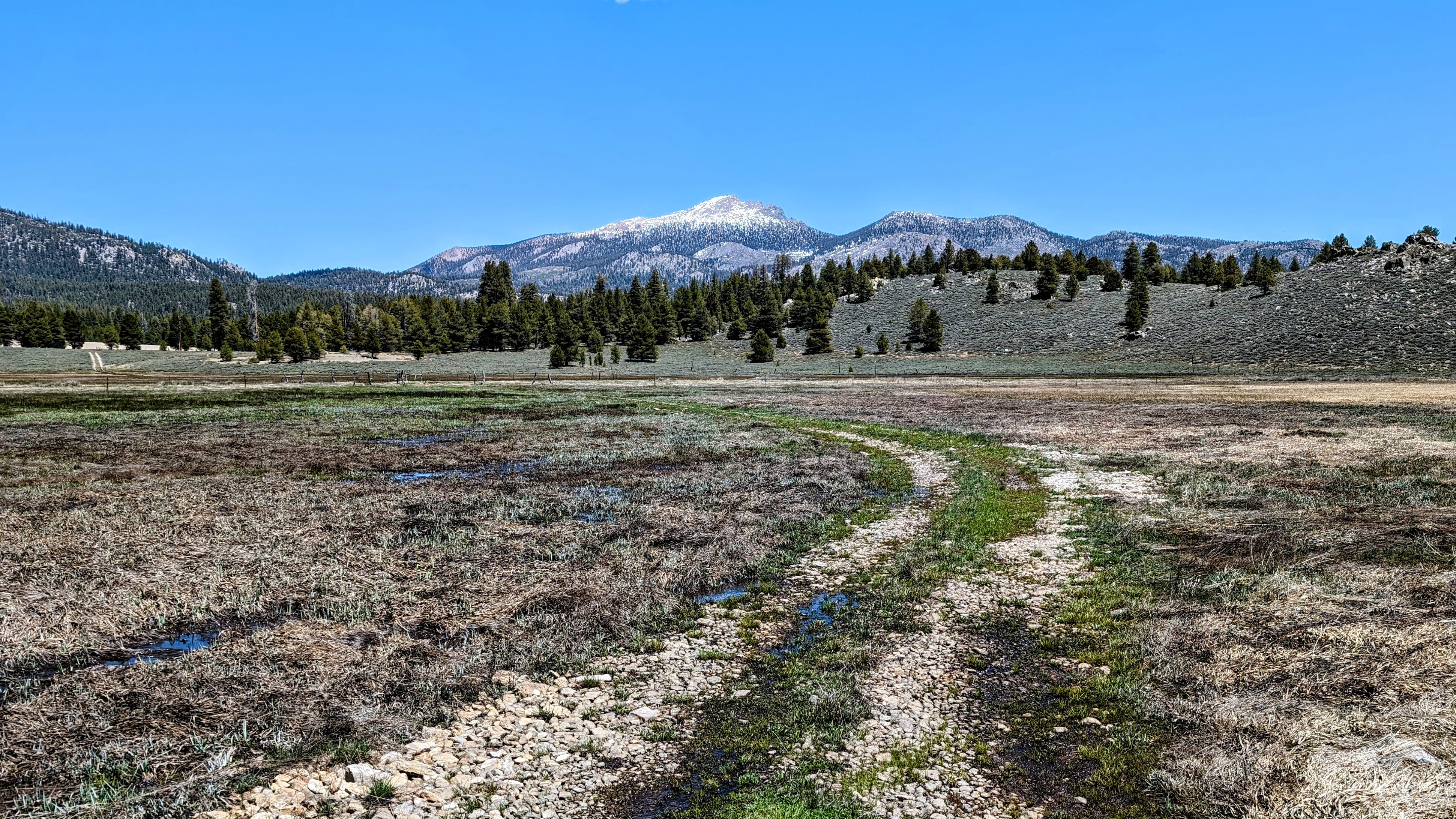
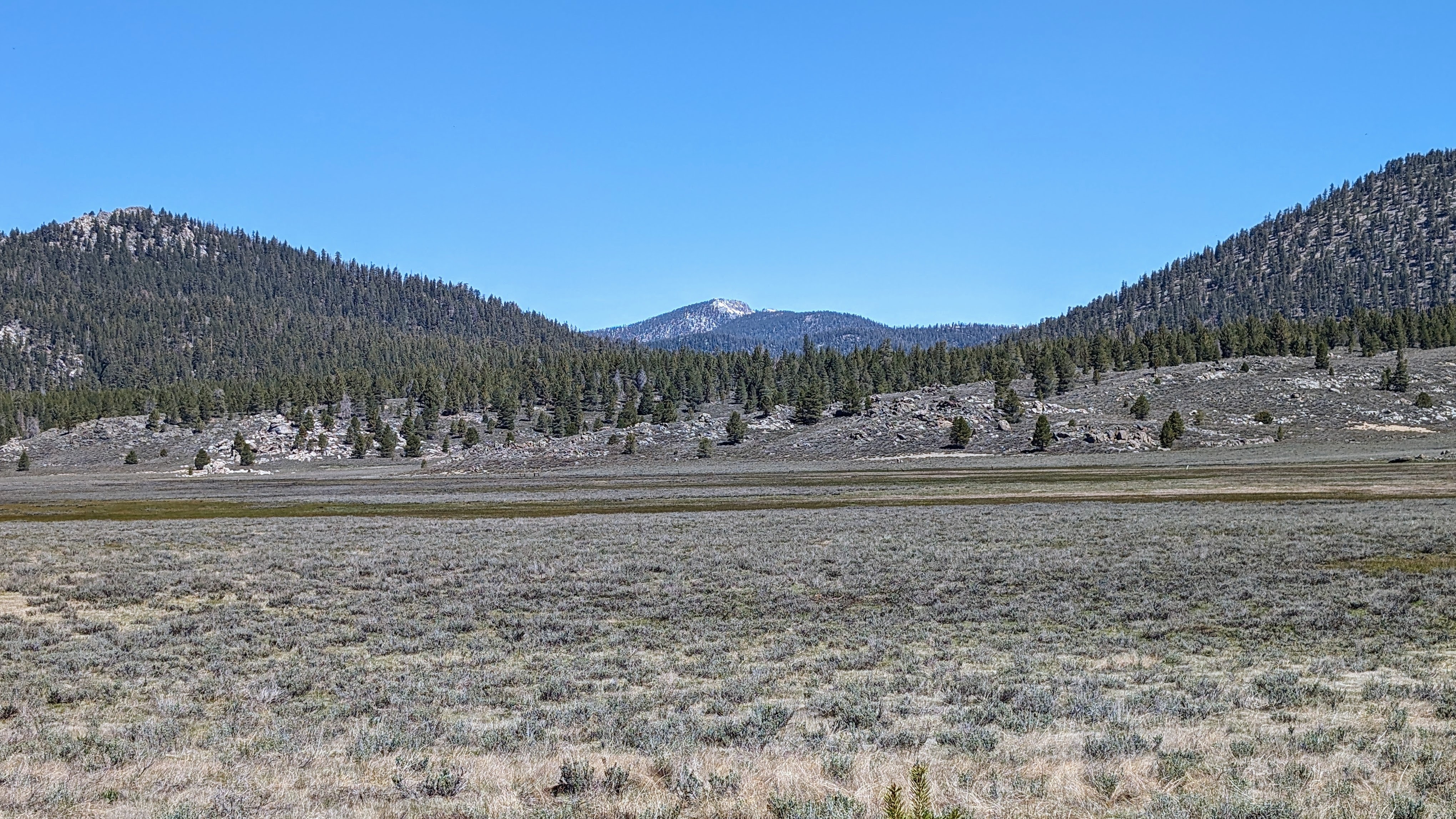
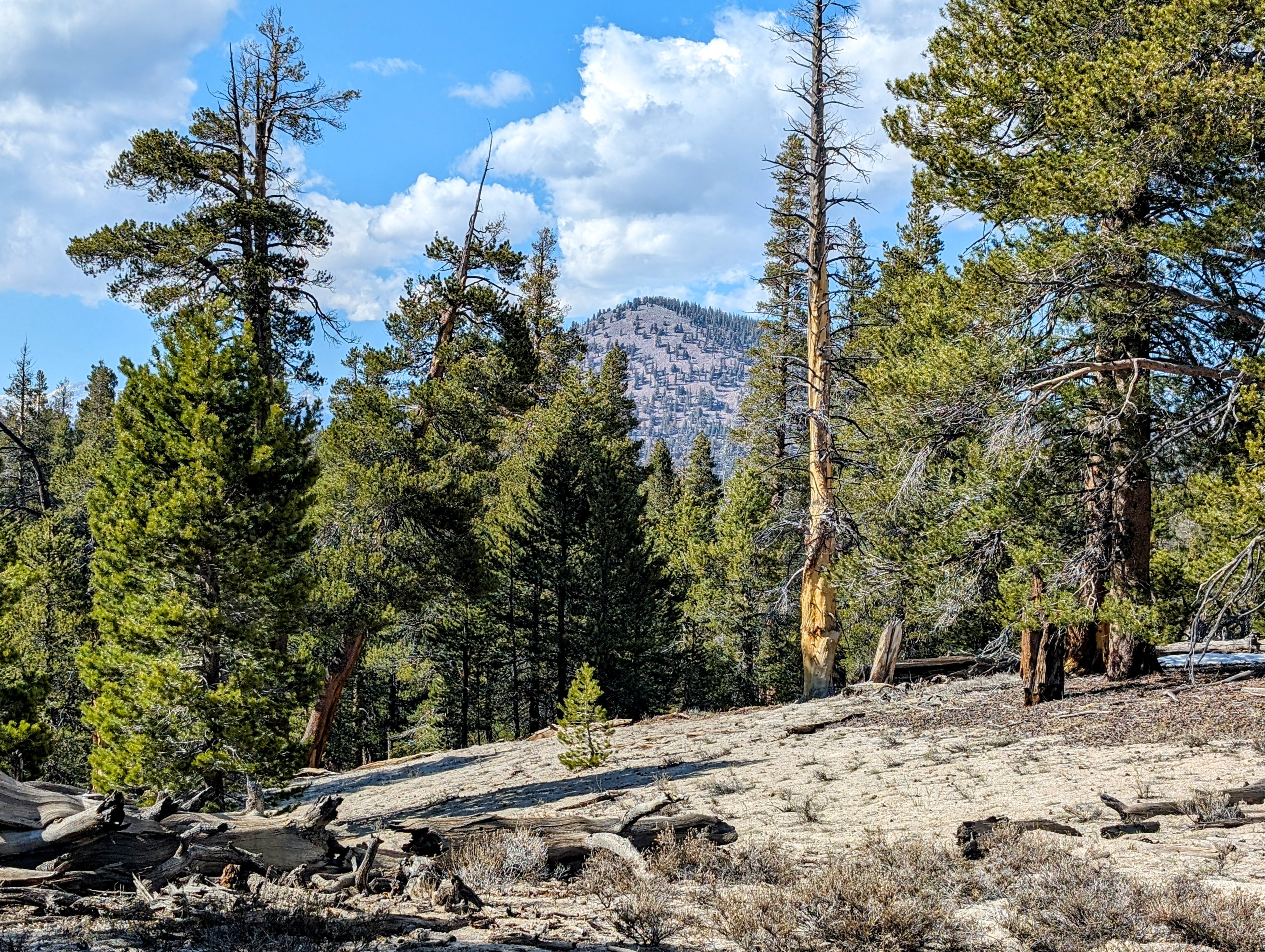
The forest road went across to the Bakeoven Dune, a vast sandy expanse in the middle of all this gray and green.
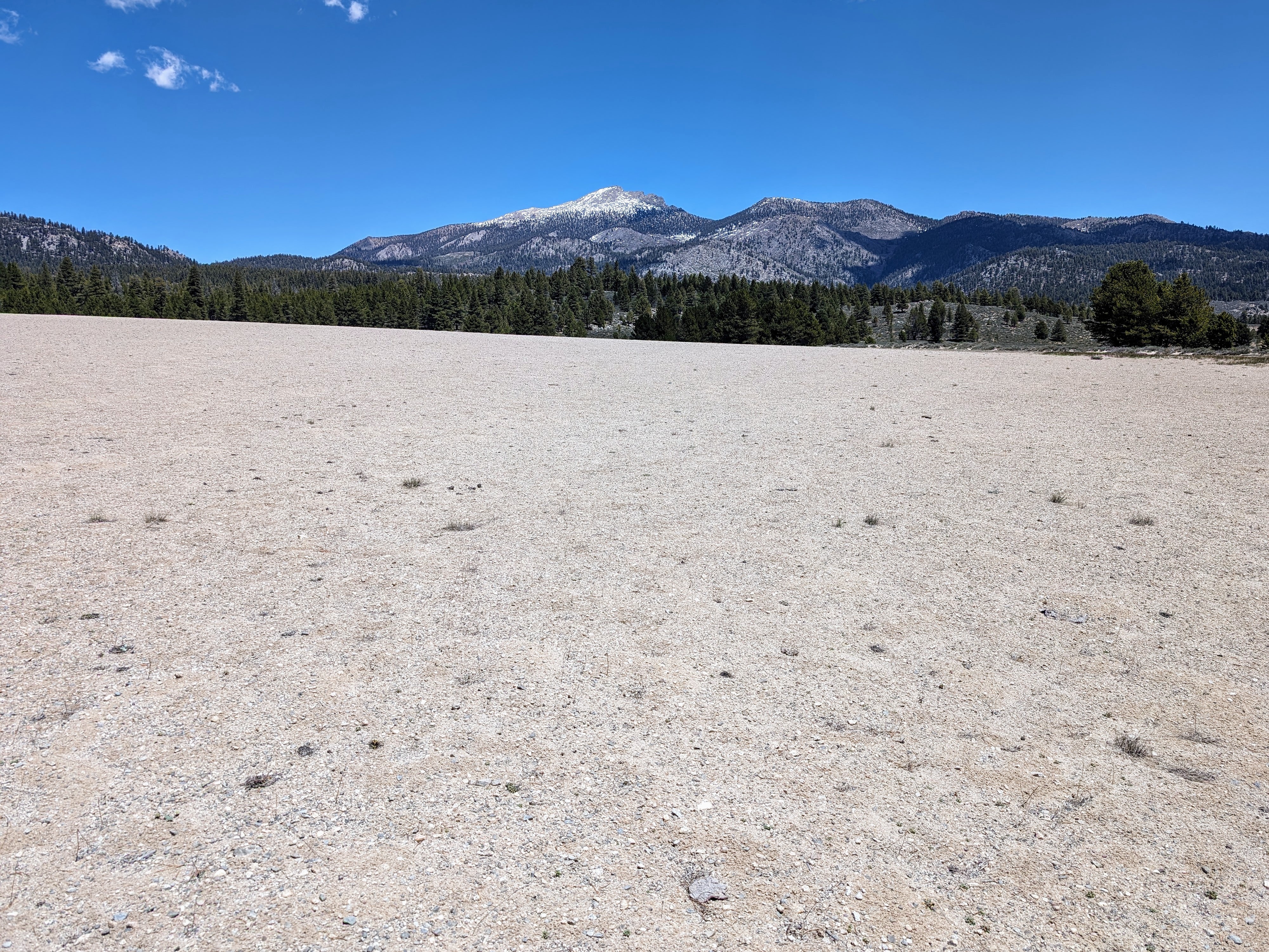
I really enjoyed traversing the dune. Unfortunately there is a flat part at the top that is deeply rutted with long straight lines. It seems to be used for motorcycle races, despite lots of signs pleading with them to keep vehicles off.
Oh well.
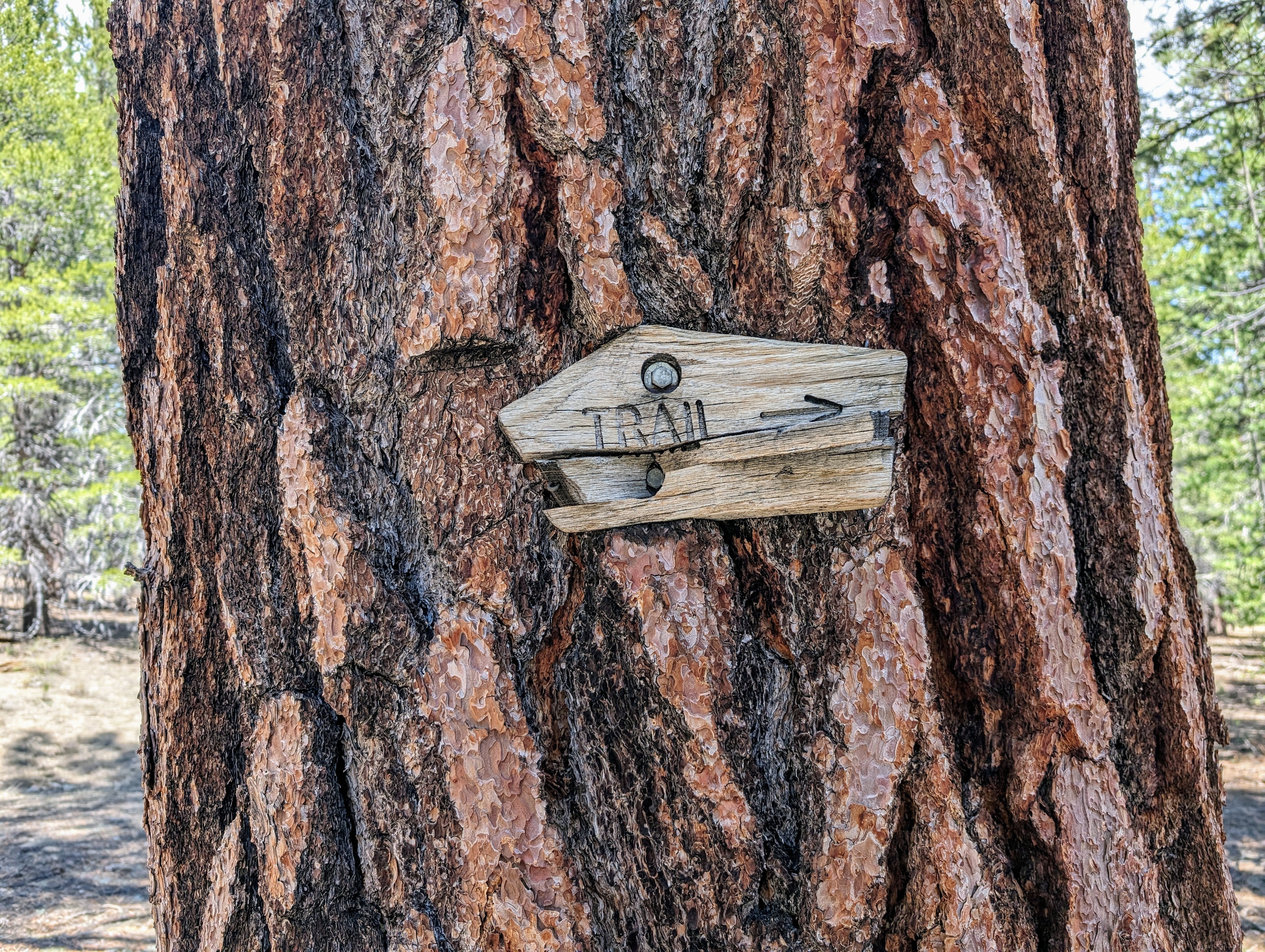
From there I started on another trail that I could not find. The Bakeoven Trail is clearly marked on Caltopo and on the Tom Harrison map, but it has been a very long time since it saw any maintenance.
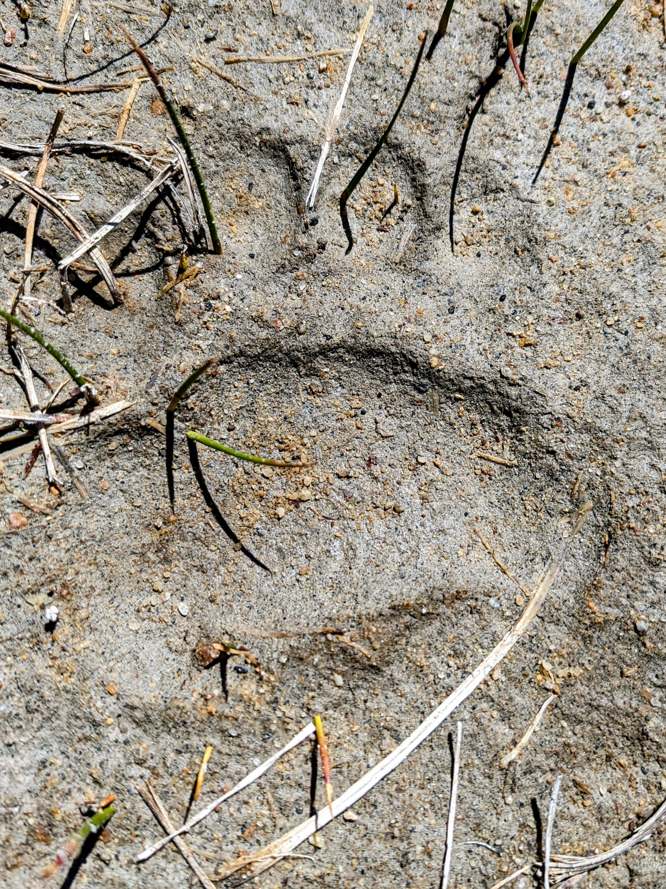
I traveled cross country about 90% of the time here, checking the GPS as I went. Occasionally an ancient marker would tease me into thinking I would get some help.
At one point I got distracted by one of these trail markers and made my way across a marsh and through some willows to take a look at it.
When I went for my phone to take a picture of it, I discovered an empty pocket.
My phone was missing!
D’oh!
This was serious business. I had a paper map, too, and I would eventually figure out how to get back to civilization. But the phone makes it so, so much easier, since the GPS can always tell you where you happen to be on that map.
I kind of panicked.
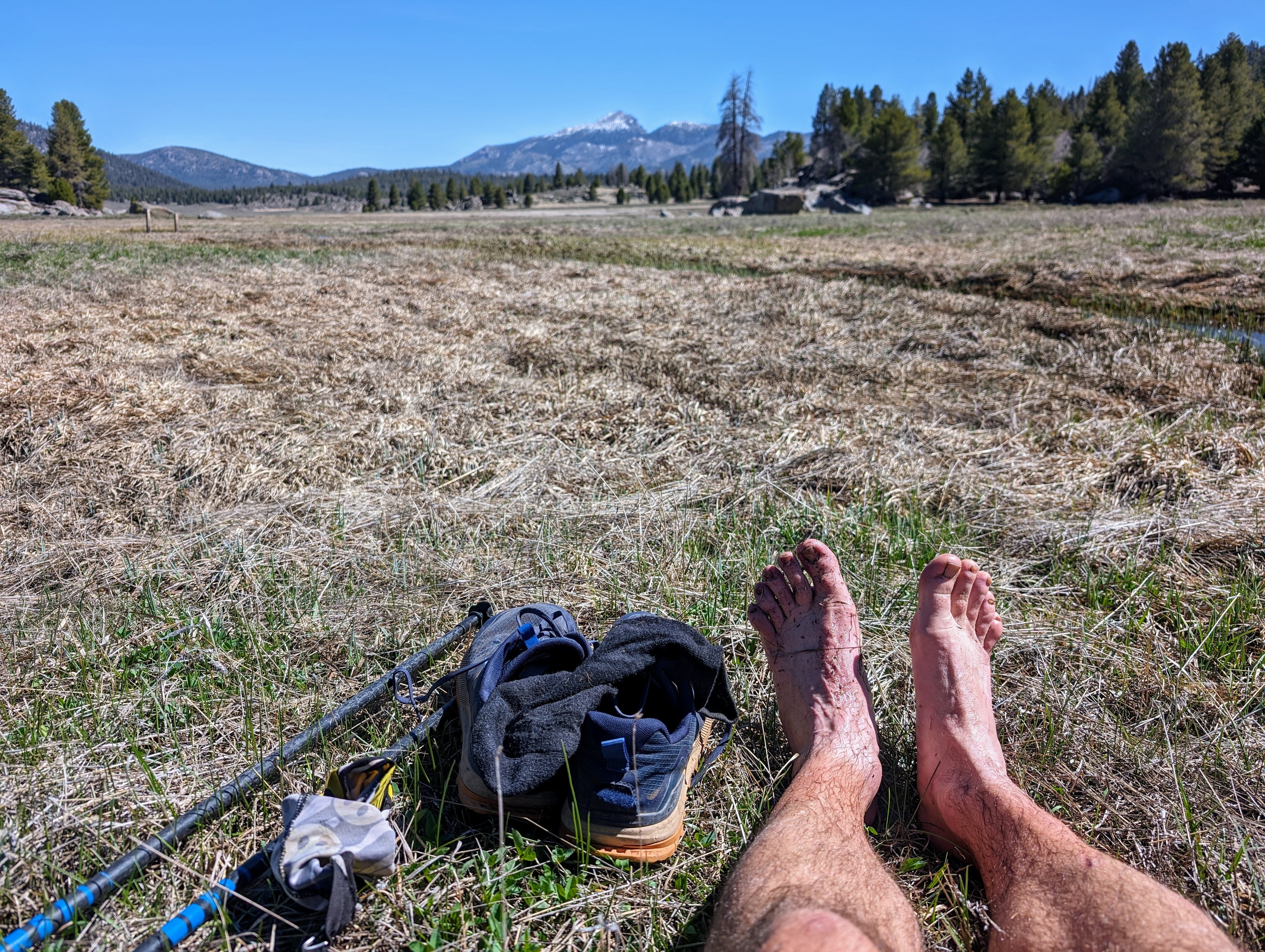
But then I calmed down. I sat down and removed my socks and the insoles from my shoes. To increase the chance I would find my phone, I didn’t want to worry about dry feet.
I sloshed my way back across the marsh to start from the point where I last remembered using the phone. And from there I retraced my steps.
It’s not here. It’s not there.
I got all the way across the marsh again with no luck. But then I retraced my steps through the willows.
And not 10 feet from where I changed out of my socks, the phone was lying under the last willow branch that snagged me.
Whew!
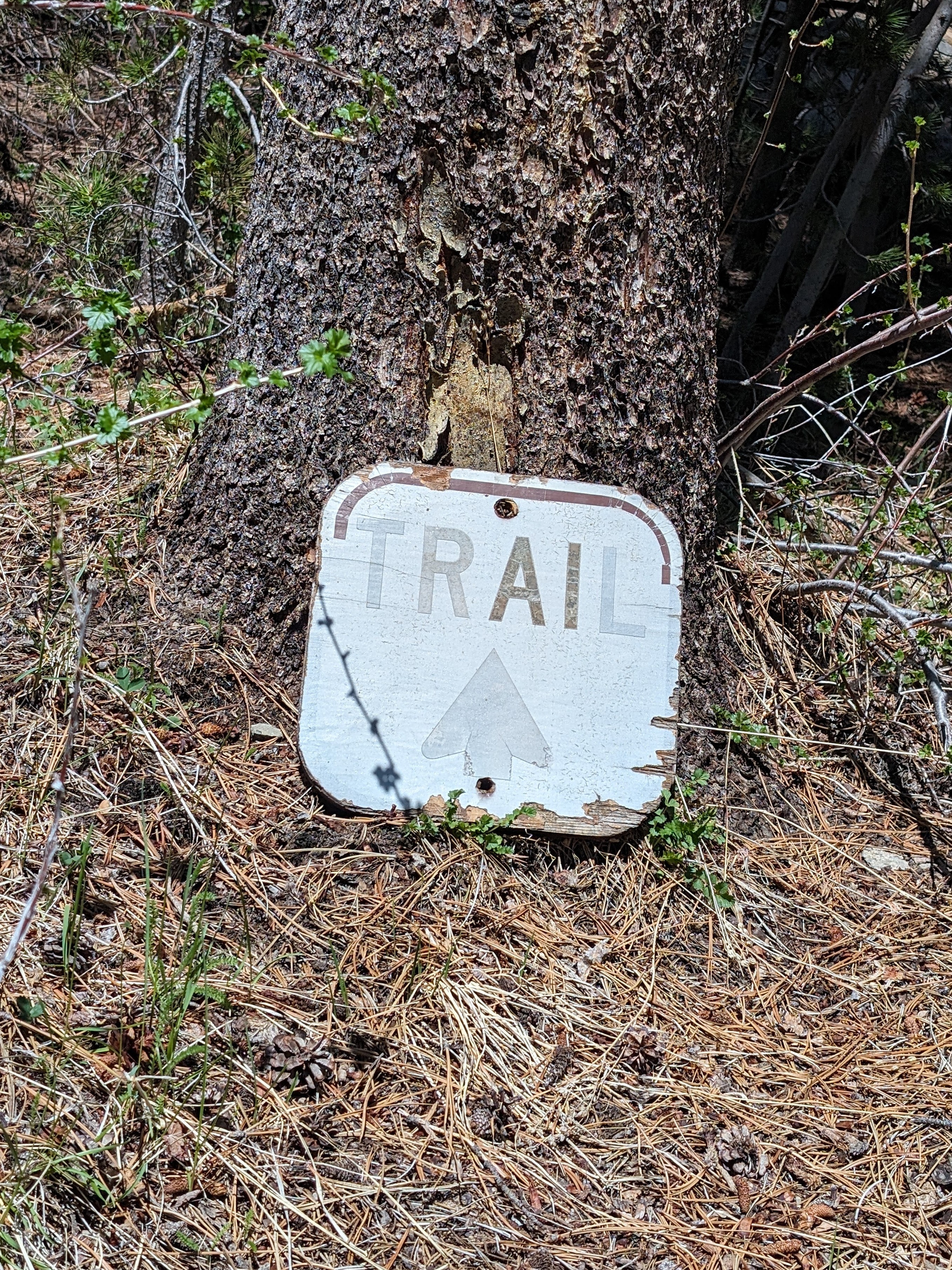
So in a way, this dumb sign, in the middle of nowhere, far from any semblance of a trail, saved the day!
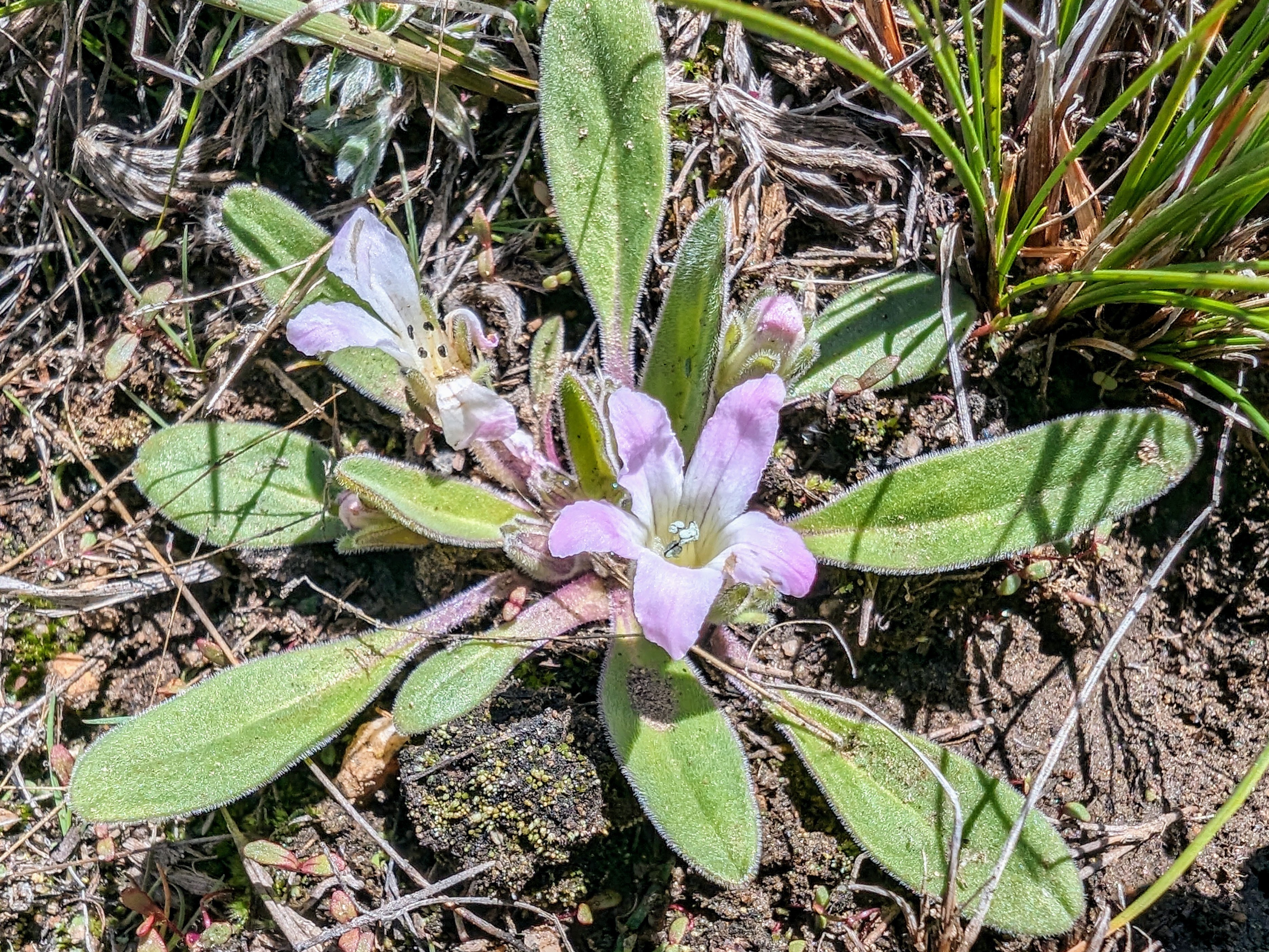
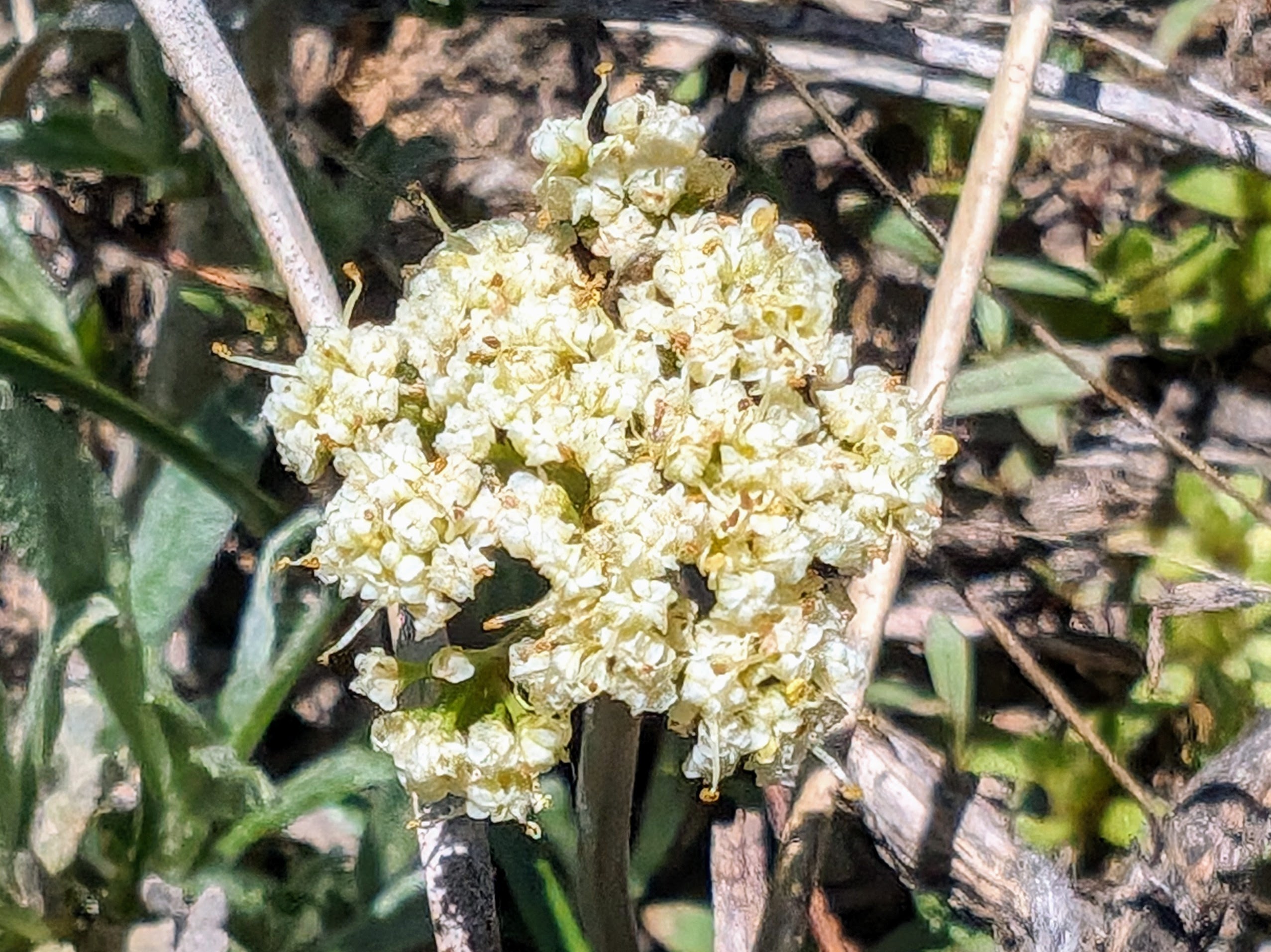
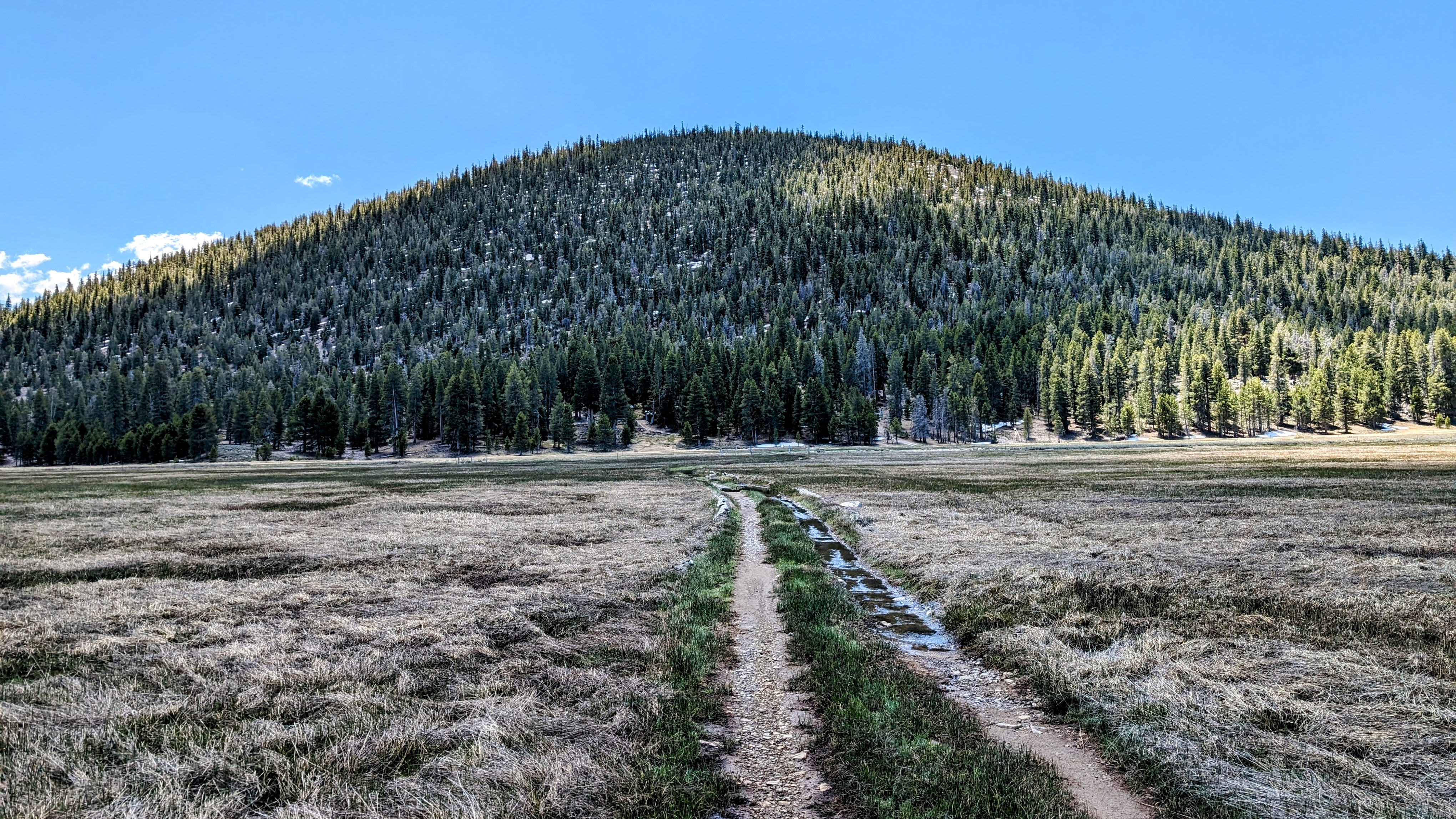
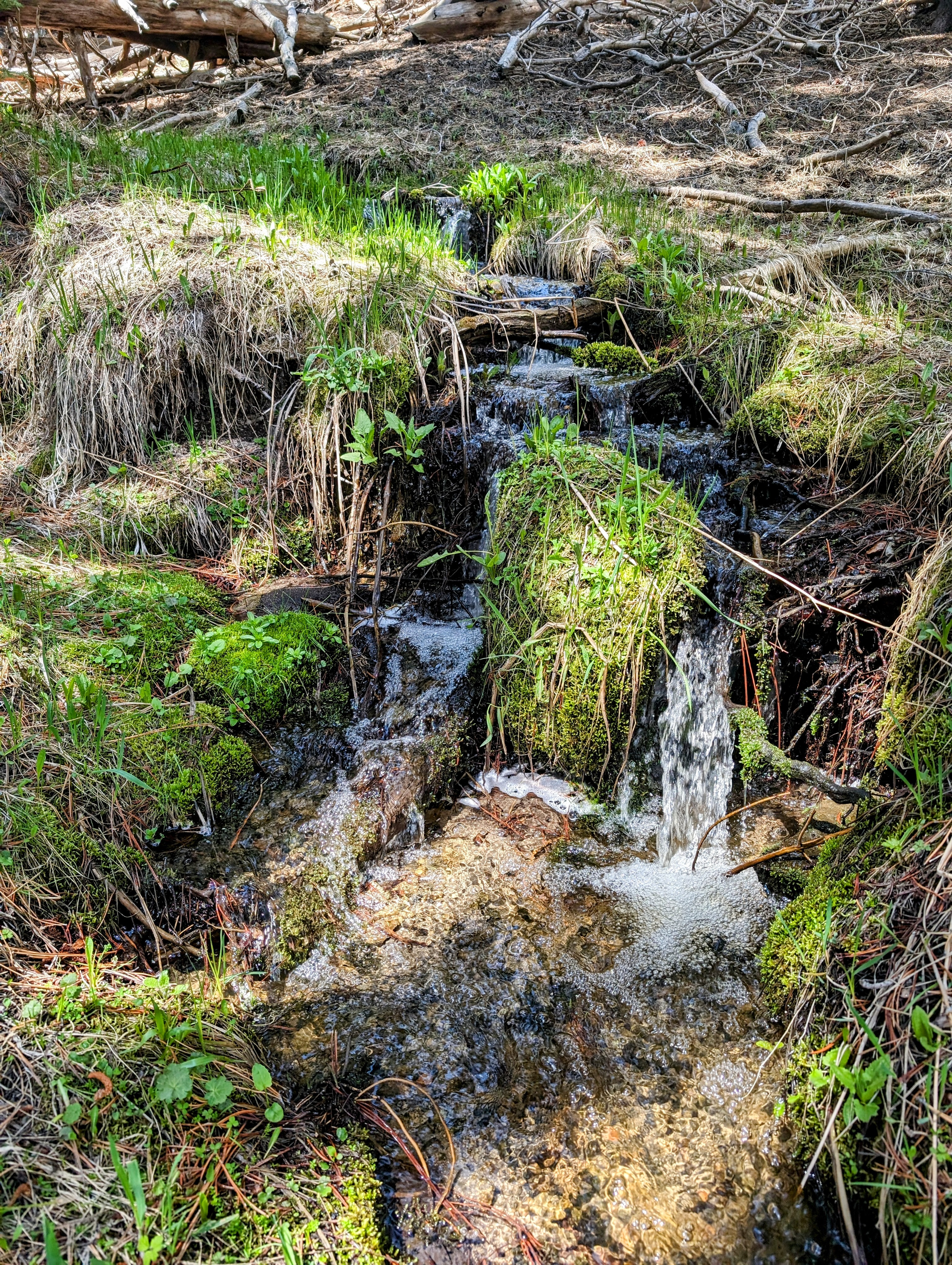
Shortly after, I encountered a really pretty spring where I tanked up on water for the afternoon.
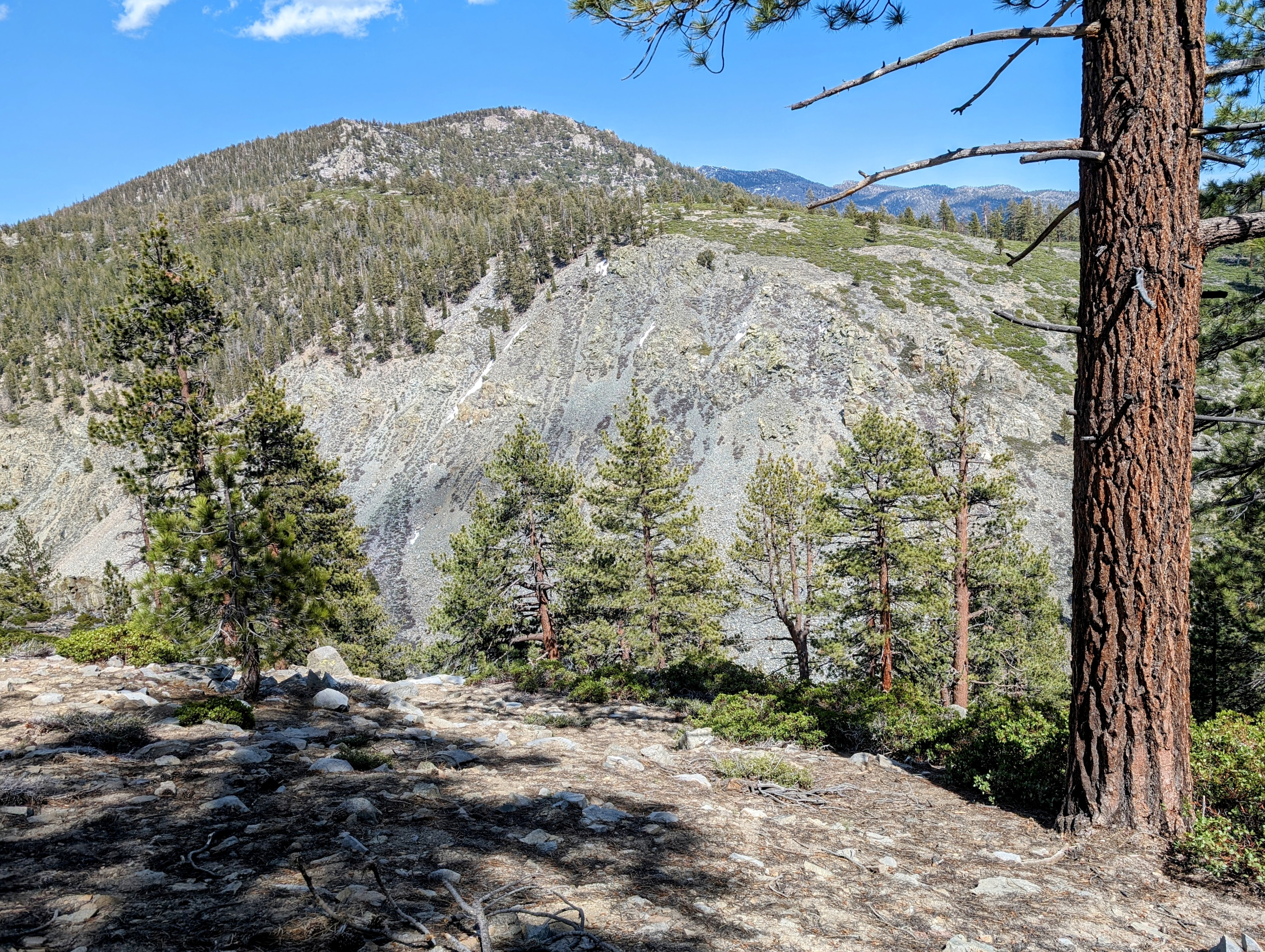
And after that the trail started to become more distinct as it carved a traverse high above the South Fork Kern River.
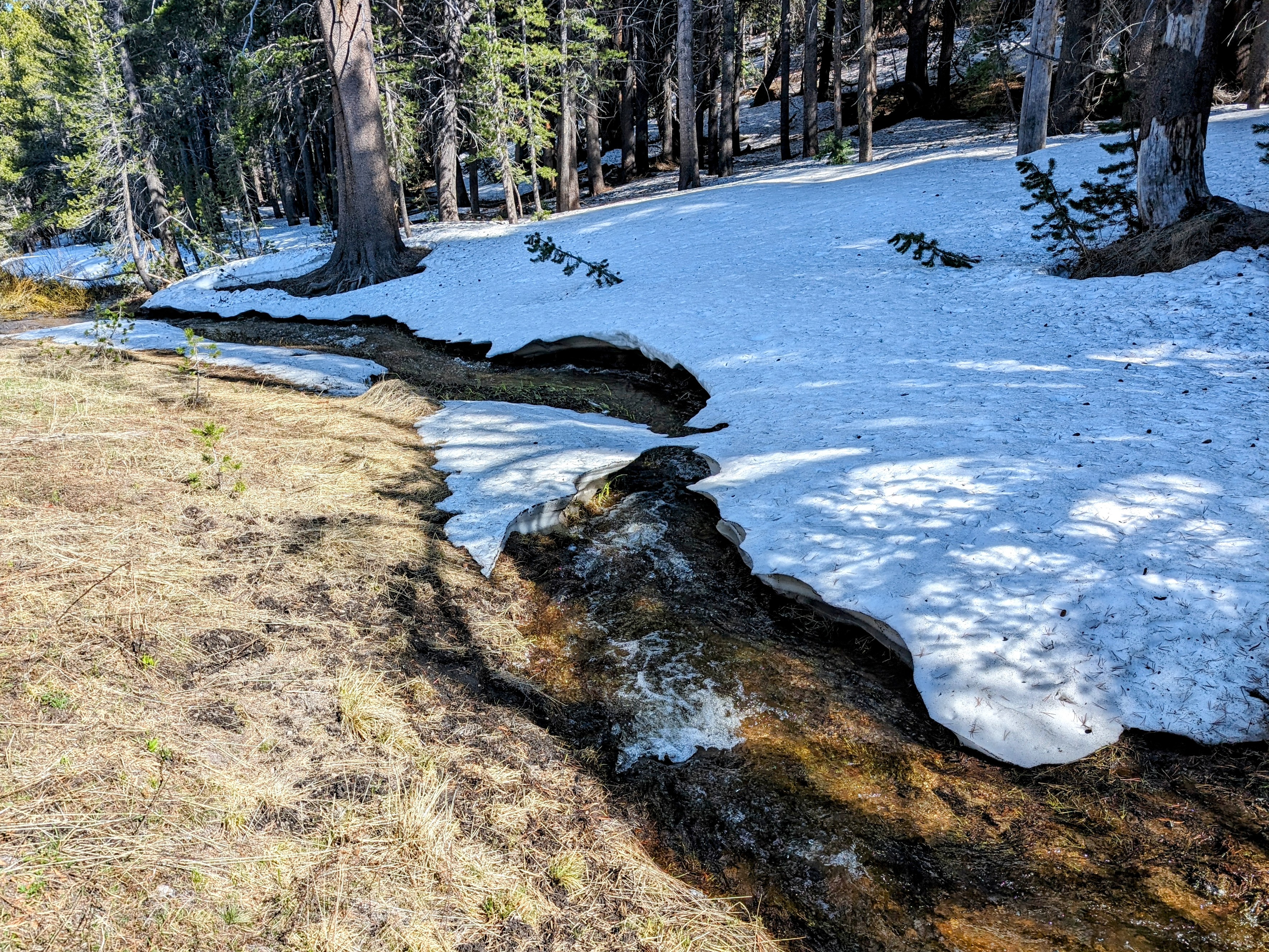
At about 8700 feet snow patches started to appear.
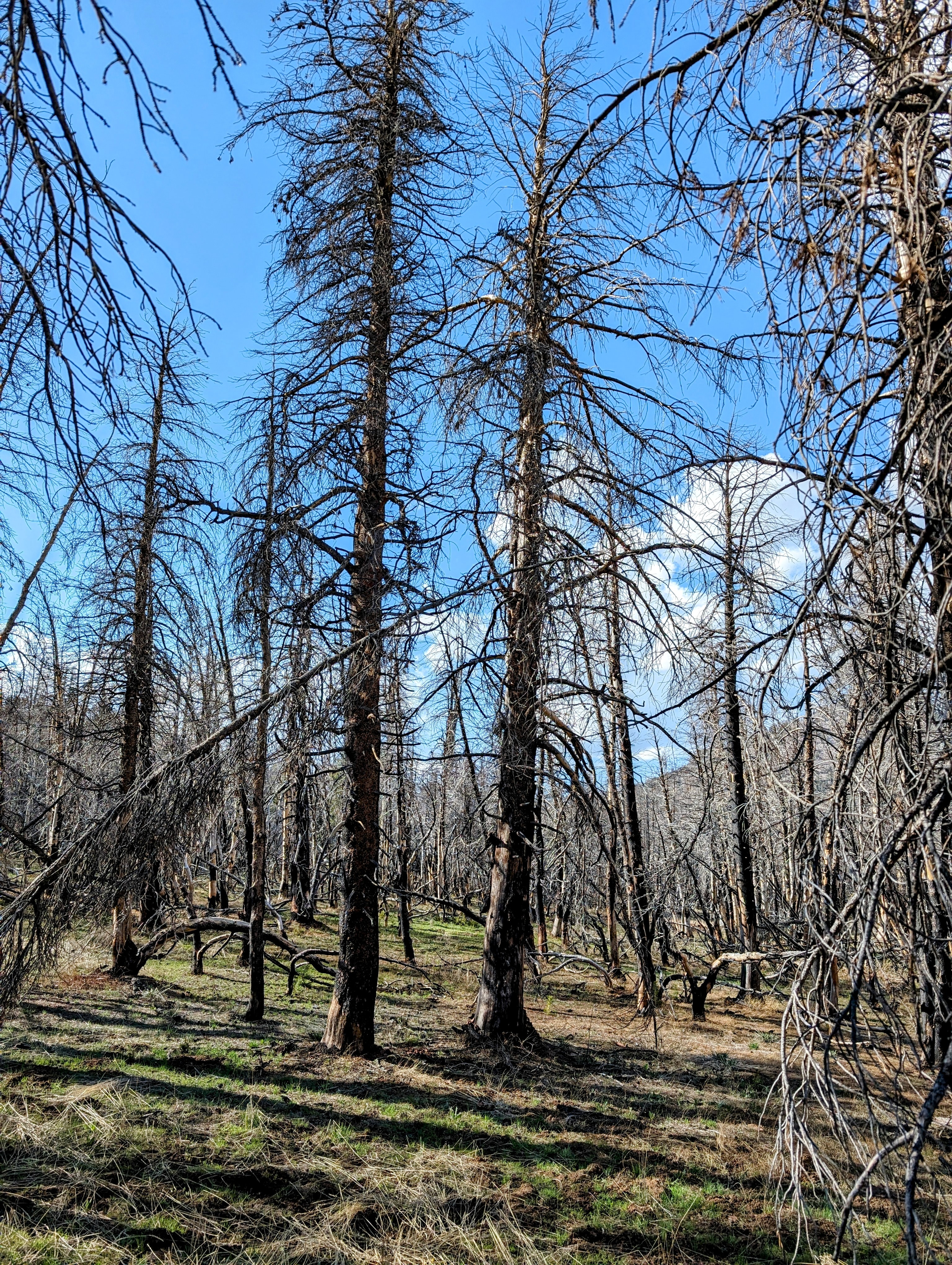
By 5pm I was absolutely wiped out. I started looking for a place to camp, but unfortunately I entered a burn zone
I kept hiking past where I thought I might stop for the evening. Unfortunately my weariness caused me to slip and fall in the last crossing before Strawberry Creek. My previously dry left foot was now soaked, and right before getting to camp!
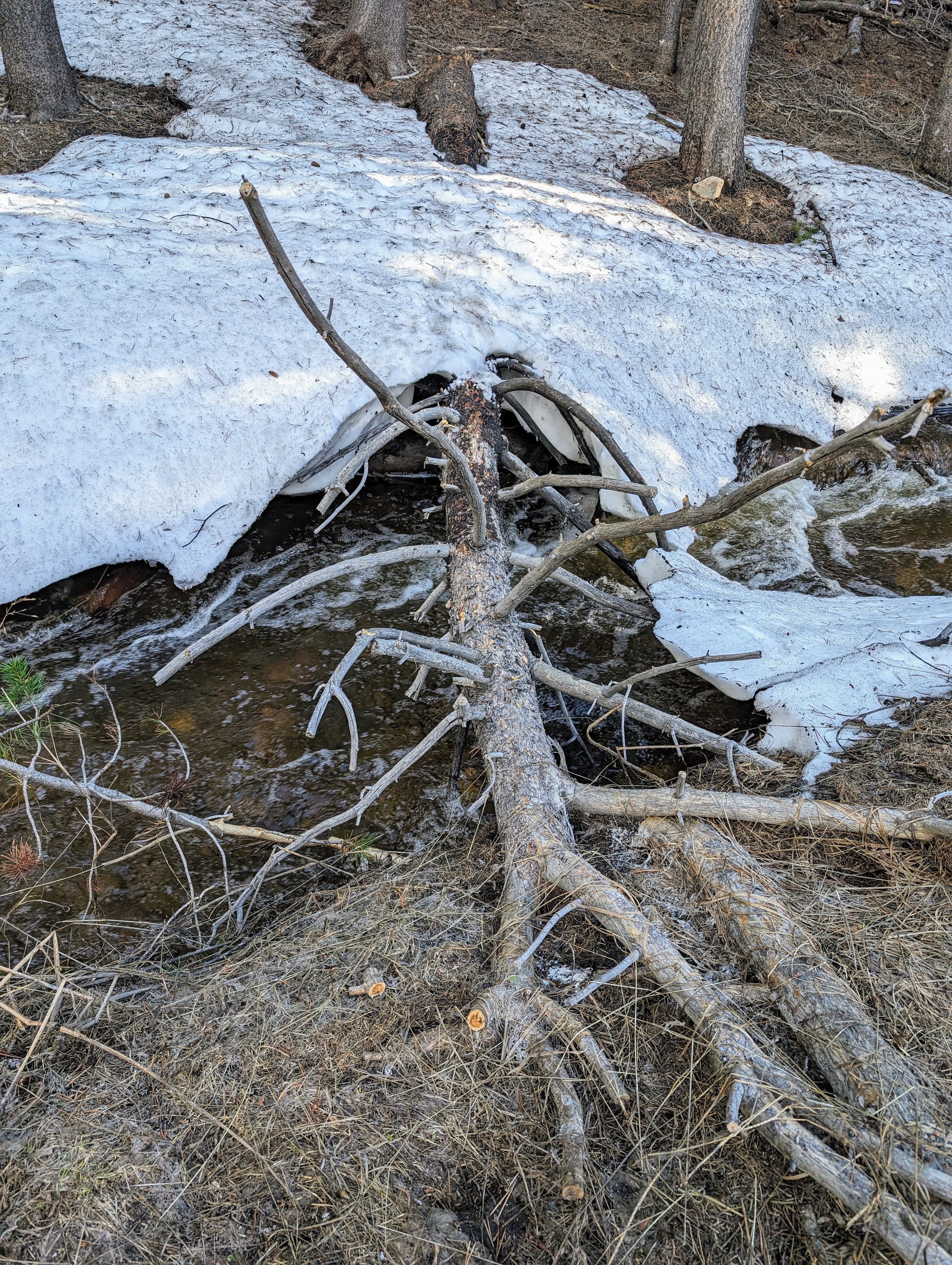
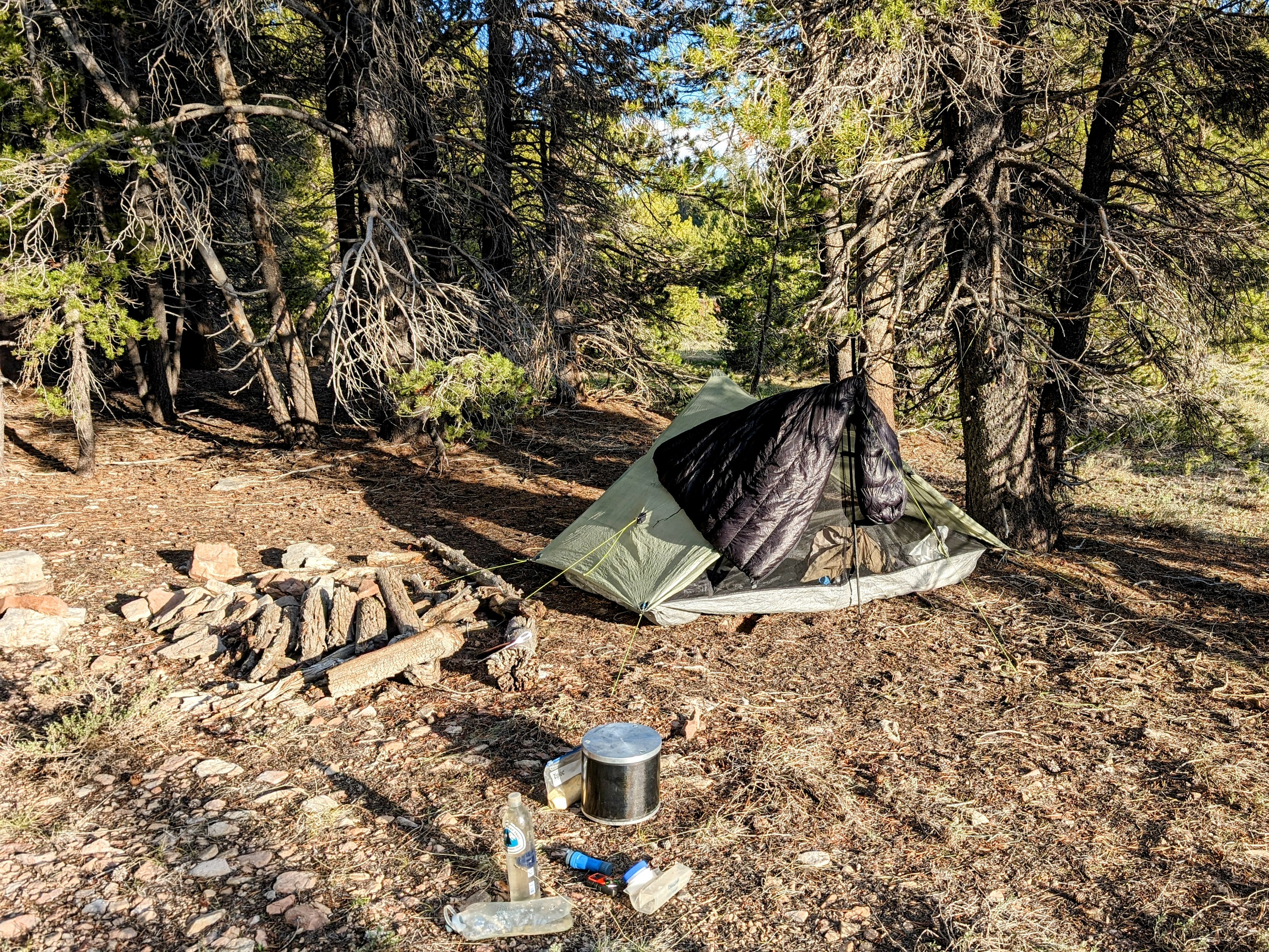
At Strawberry Creek there were many snow fields on the north-facing southern bank. So I crossed over to the south-facing bank at the foot of Templeton Mountain. It was dry and duffy just above the sage an the edge of the pine woods. But Templeton is an old volcano with a consistent slope. The challenge was to find a flat spot.
And soon I did, at an established campsite complete with a fire pit and a pile of wood.
And it was lovely.
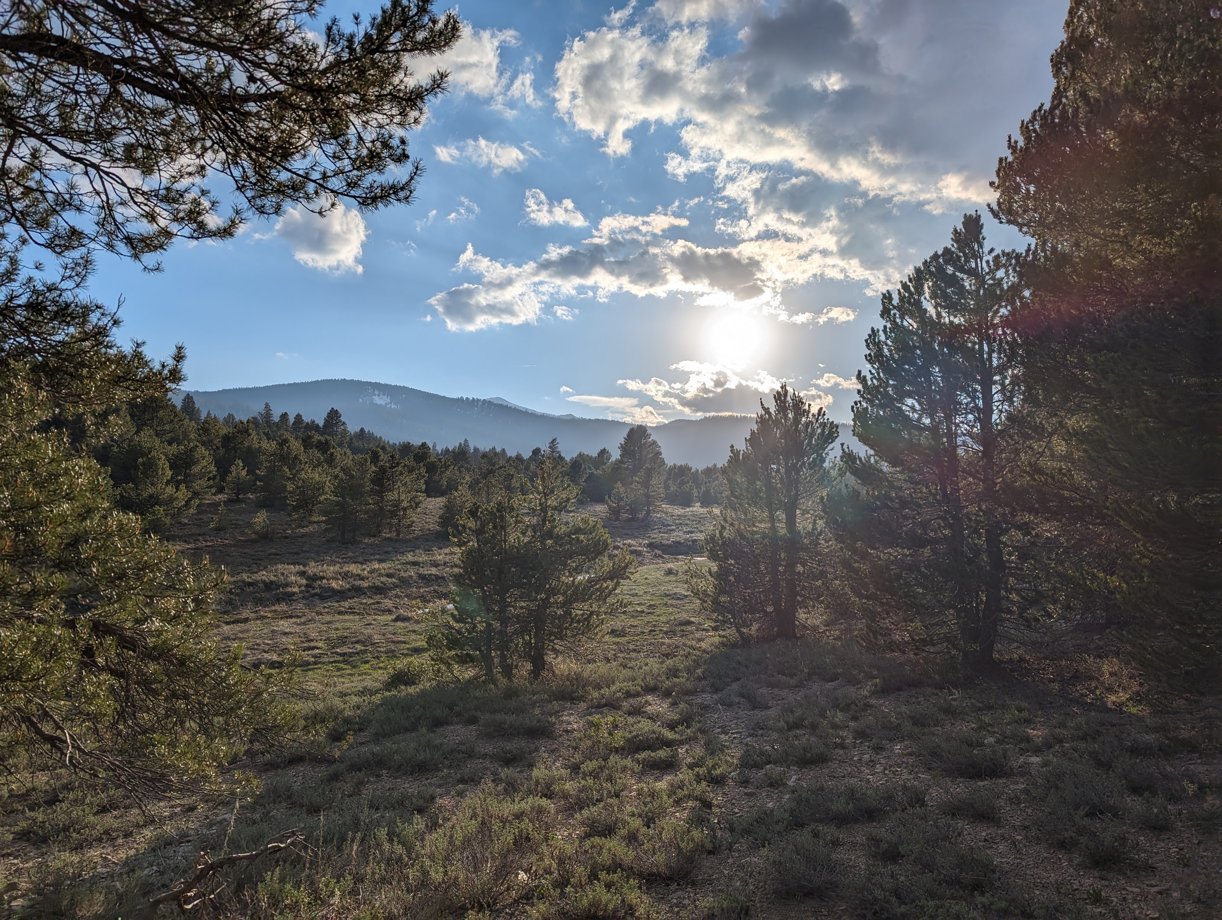
I warmed myself in the sun, ate dinner, and watched the last rays settle over a far ridge. And then it was time for bed.