1 June 2024
Cottonwood Pass Trail to Pacific Crest Trail to Rocky Basin Lakes via the Golden Sequoia Divide
(12 miles, +2,700/1,800 feet).
I love early season trips in the Sierra! Long days, reasonable temperatures, beautiful snow fields, gorgeous lakes that still have some ice, and best of all — no bugs!
Also there is solitude. Which can be either a plus or a minus depending on my state of mind.
To choose a time and place to hike early season, my strategy these days is to follow the snow line. There seems to be about a two week period between the melt in a given area and the onset of mosquito season there.
I look at the Copernicus Browser, a free and high resolution satellite map that updates every few days when there are clear skies in an area. I also watch the weather and try to avoid late season storms.
For this trip I saw that the southern Sierra was melting much faster than normal, and even lakes at 11,000 feet in the Cottonwood Lakes region were already starting to melt out. Perfect for a trip in the 10,000 to 12,000 foot range! And a warm, dry pattern was settling in.
Let’s go!
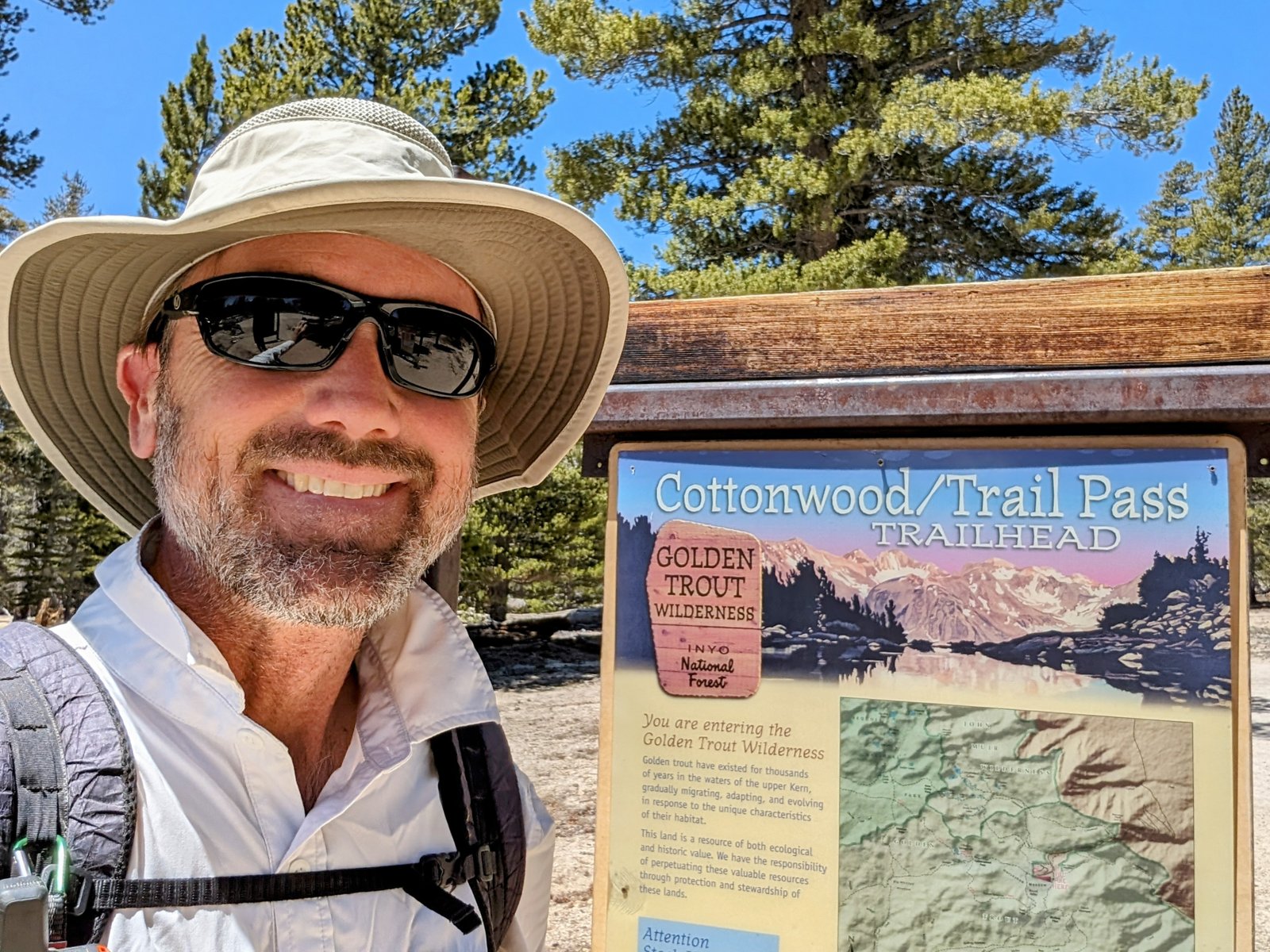
I grabbed a permit for Cottonwood Pass (which is non-quota this early in the season, and so guaranteed to be available), and then drove up to the trailhead from San Diego. By noon I was hiking!
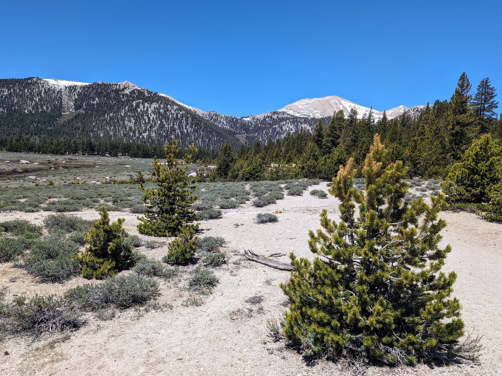
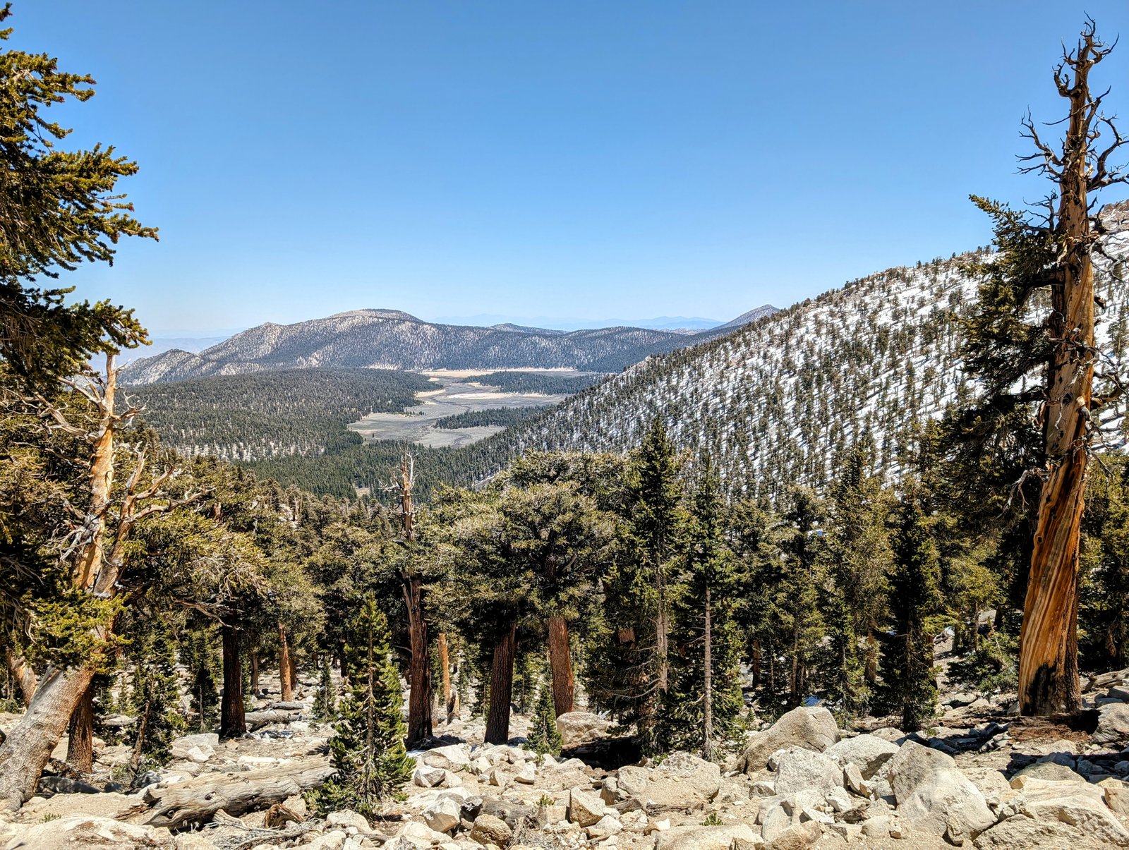
It was interesting to see Horseshoe Meadows again, just two weeks after being here on my last trip.
The climb up to Cottonwood Pass was uneventful.
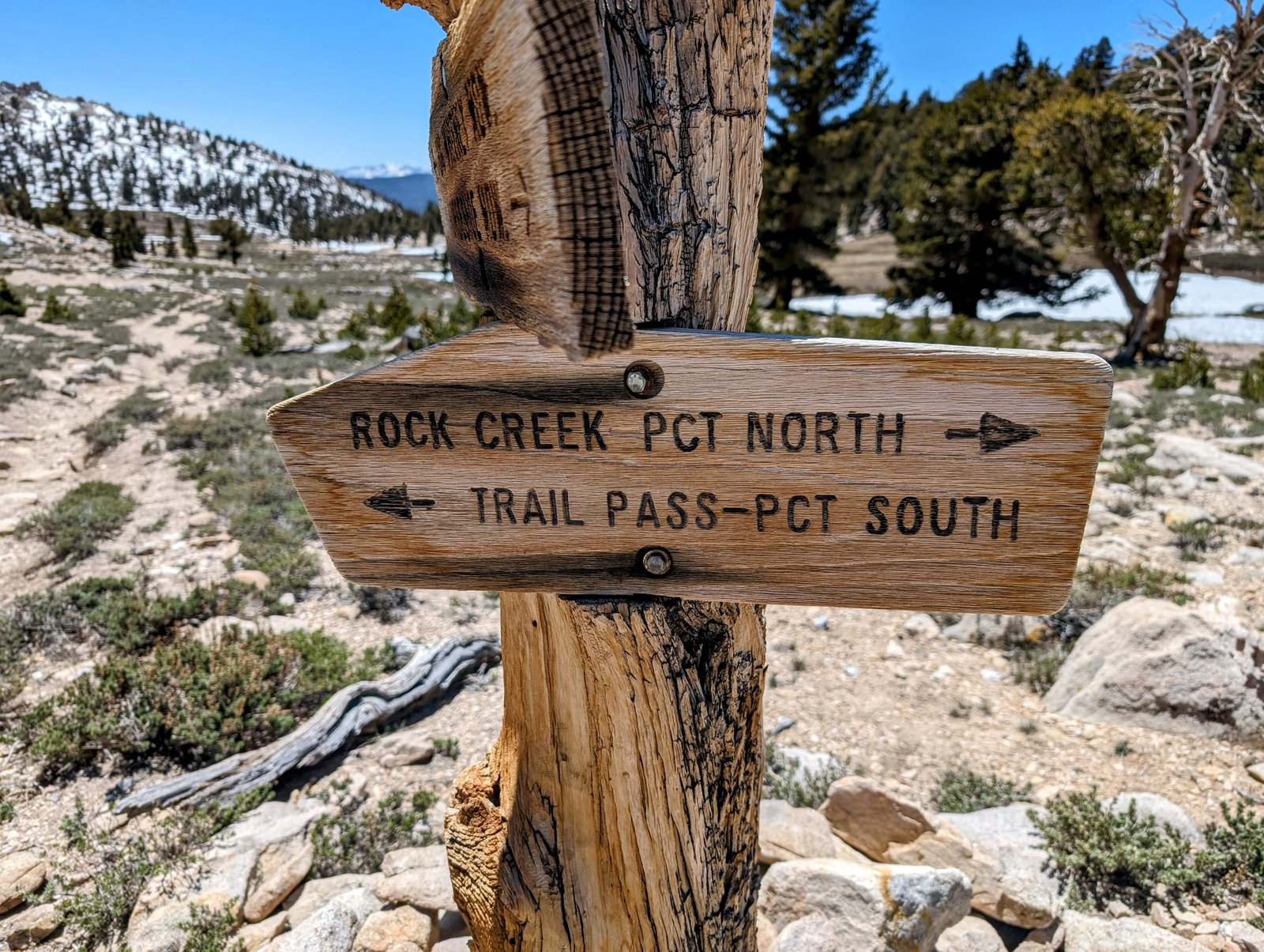
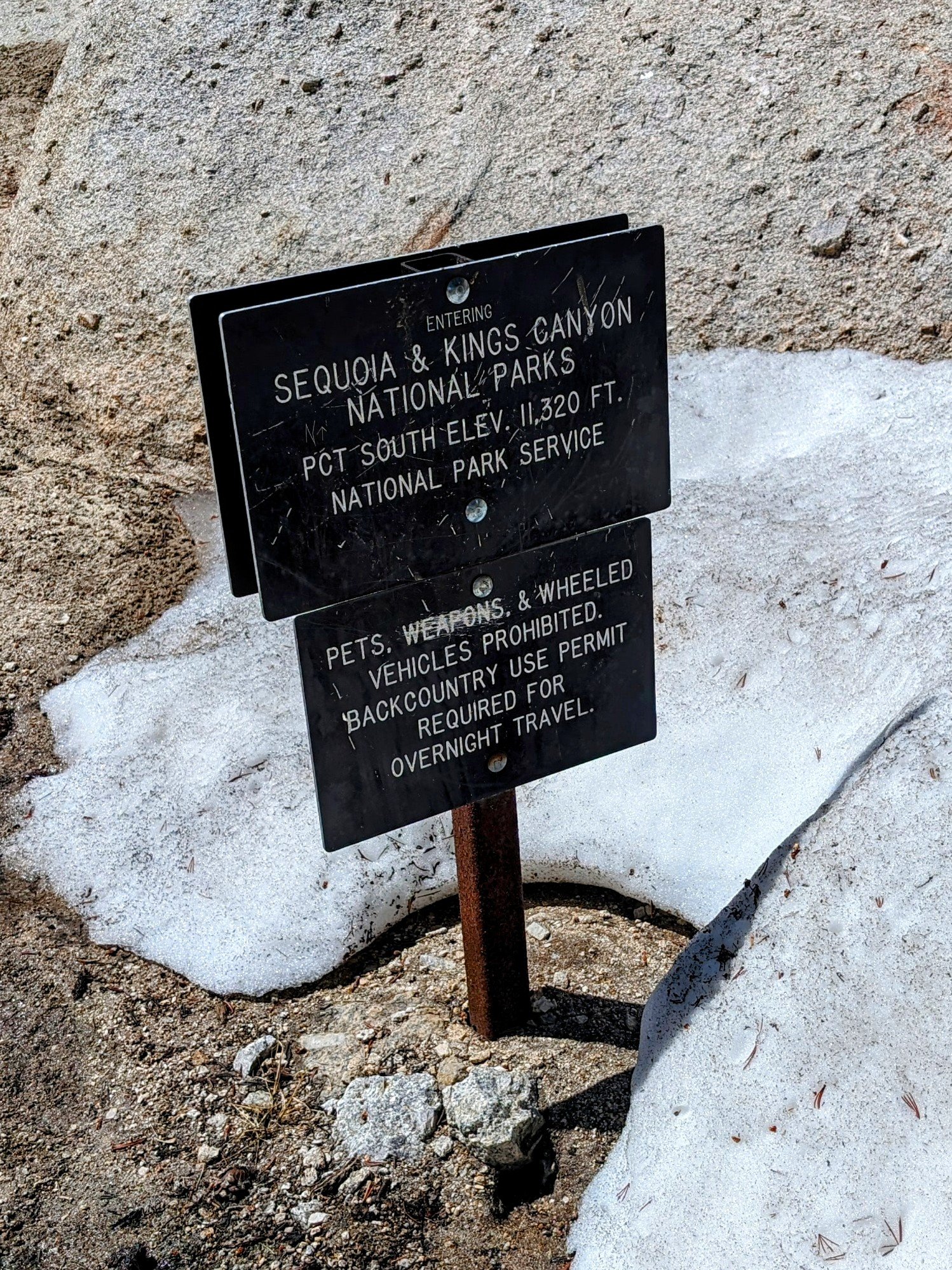
And then it was on to the PCT. I followed this until I hit the boundary sign for Sequoia National Park.
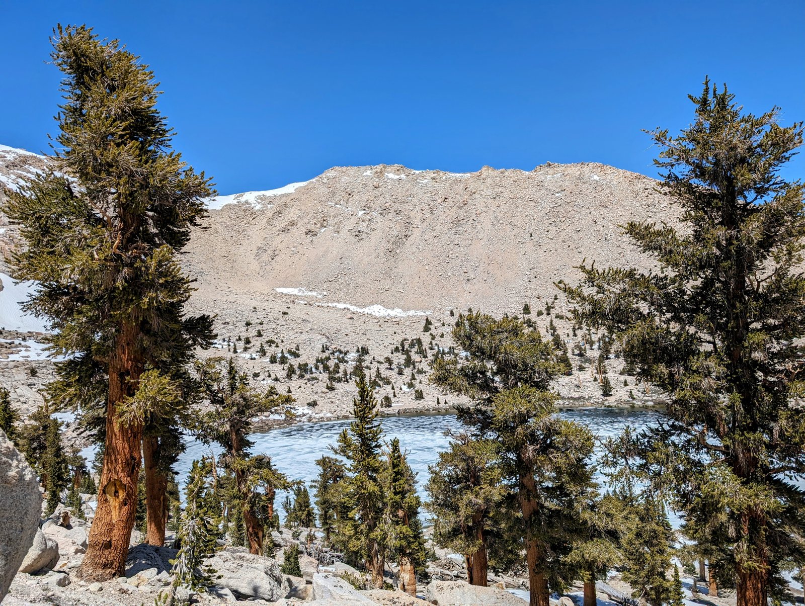
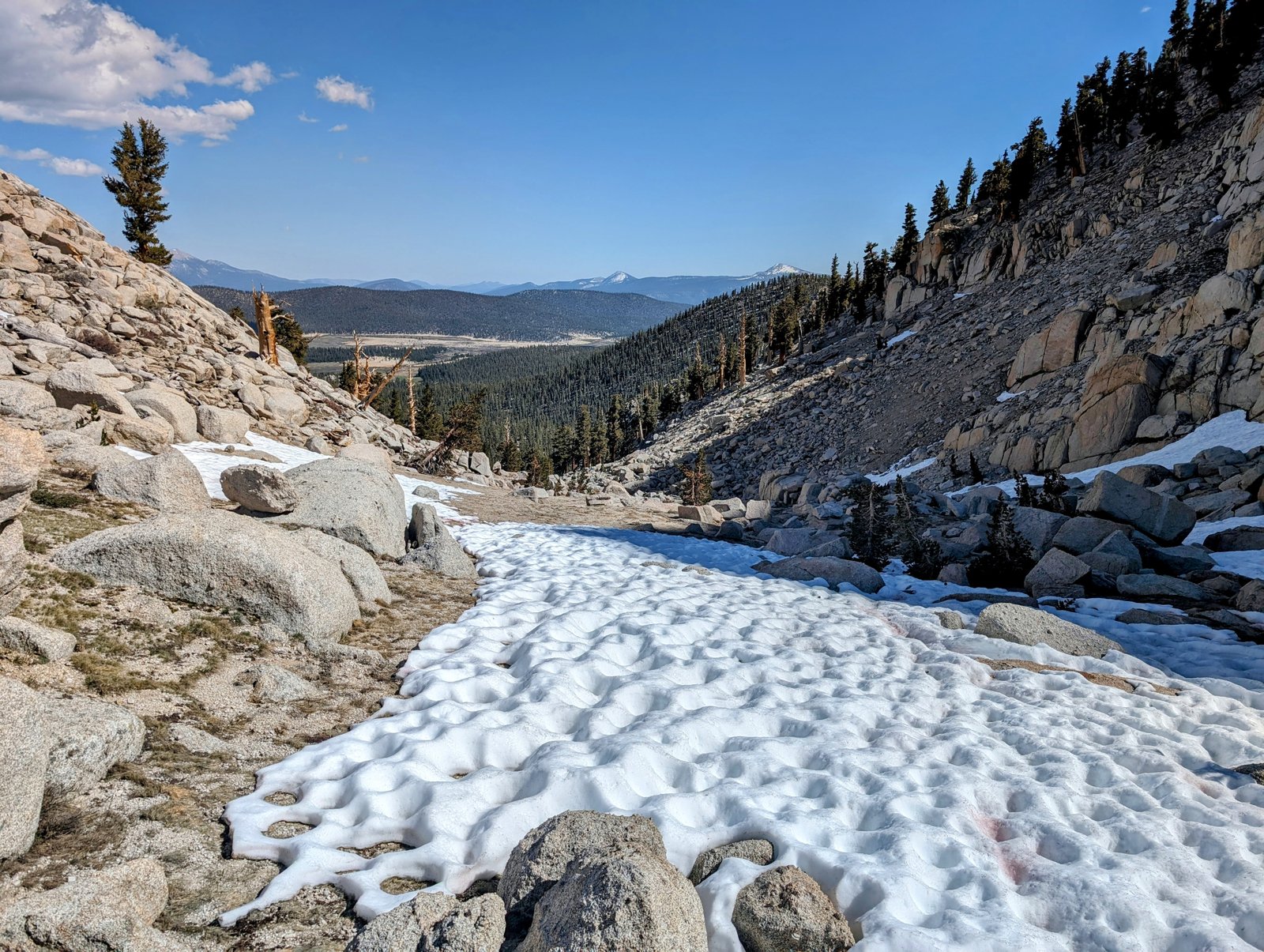
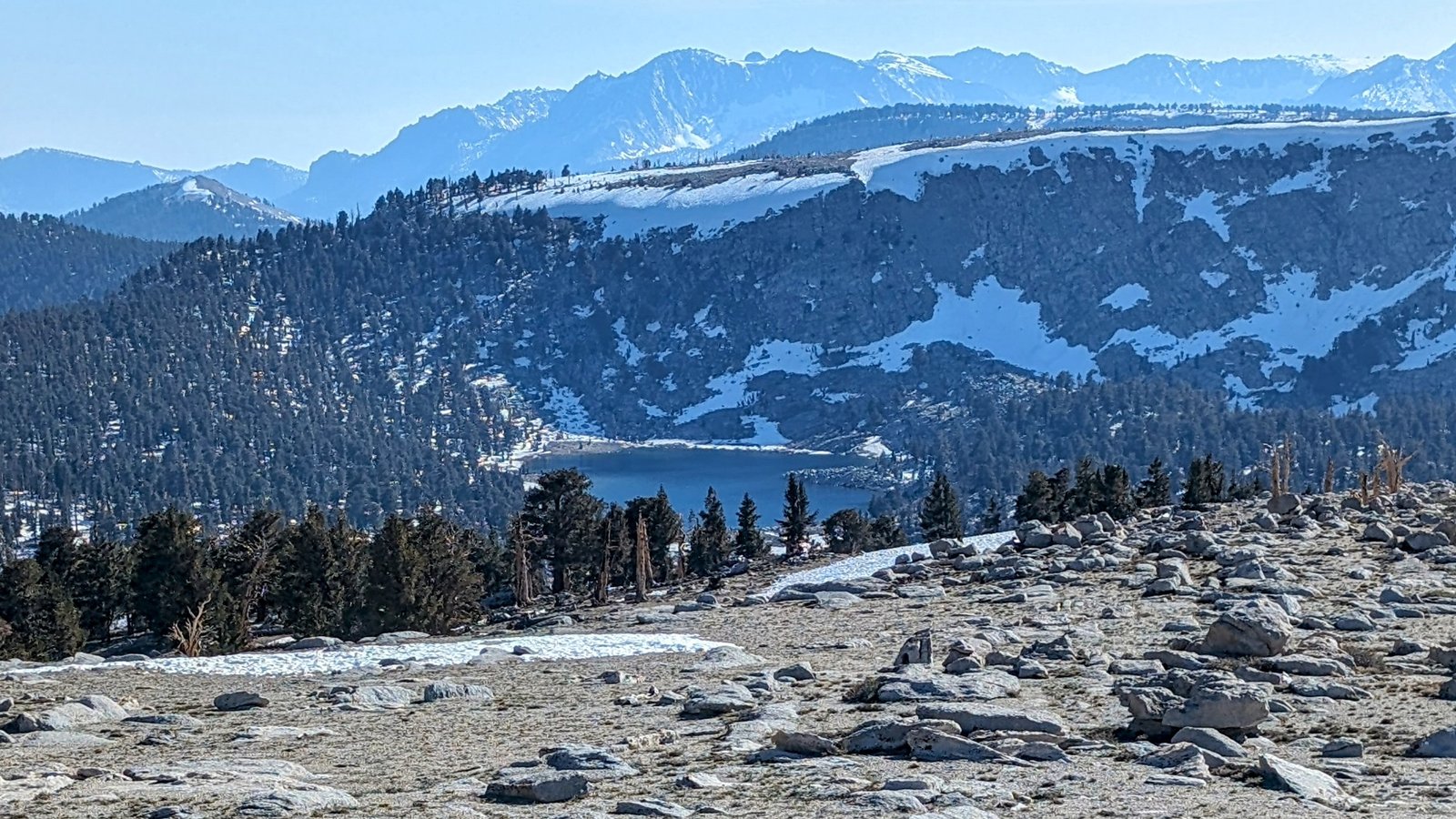
Chicken Spring Lake was in beautiful form, still about 80% covered in ice. I stopped for a cold soak ramen lunch on the last switchback above the lake.
I then continued on the PCT, passing only 3 or 4 weekend hikers on the way.
Soon my destination came into view. I have always been interested in visiting the Boreal Plateau, a broad, treeless expanse that sits high on the border between the Golden Trout Wilderness and Sequoia National Park. For lack of a given name, I started calling this imaginary line the “Golden Sequoia Divide.” And my goal was to follow this line from the PCT to the Boreal Plateau.
There is no trail right on the divide, so once I got to the Sequoia National Park boundary, the rest of the day was cross-country travel.
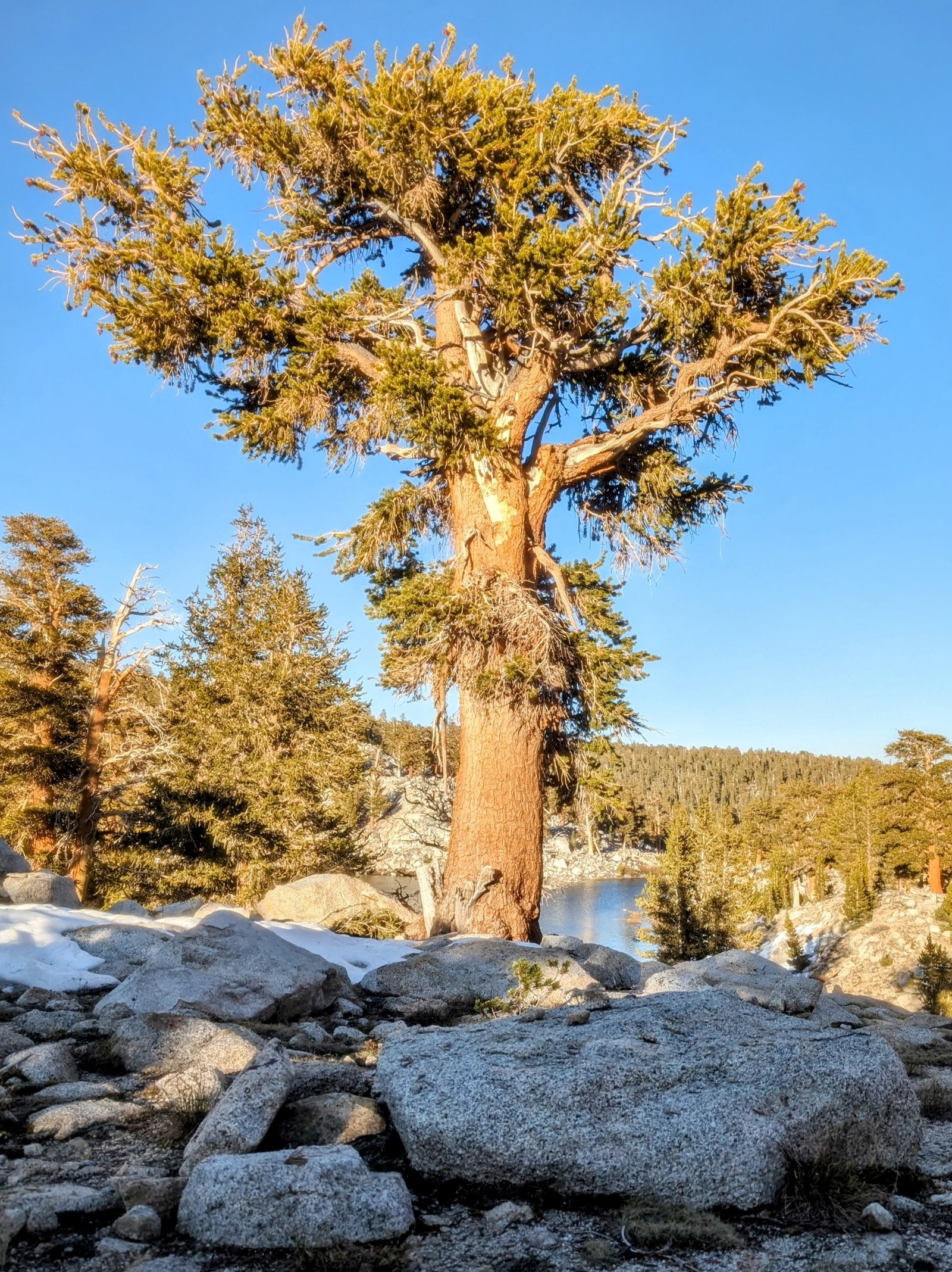
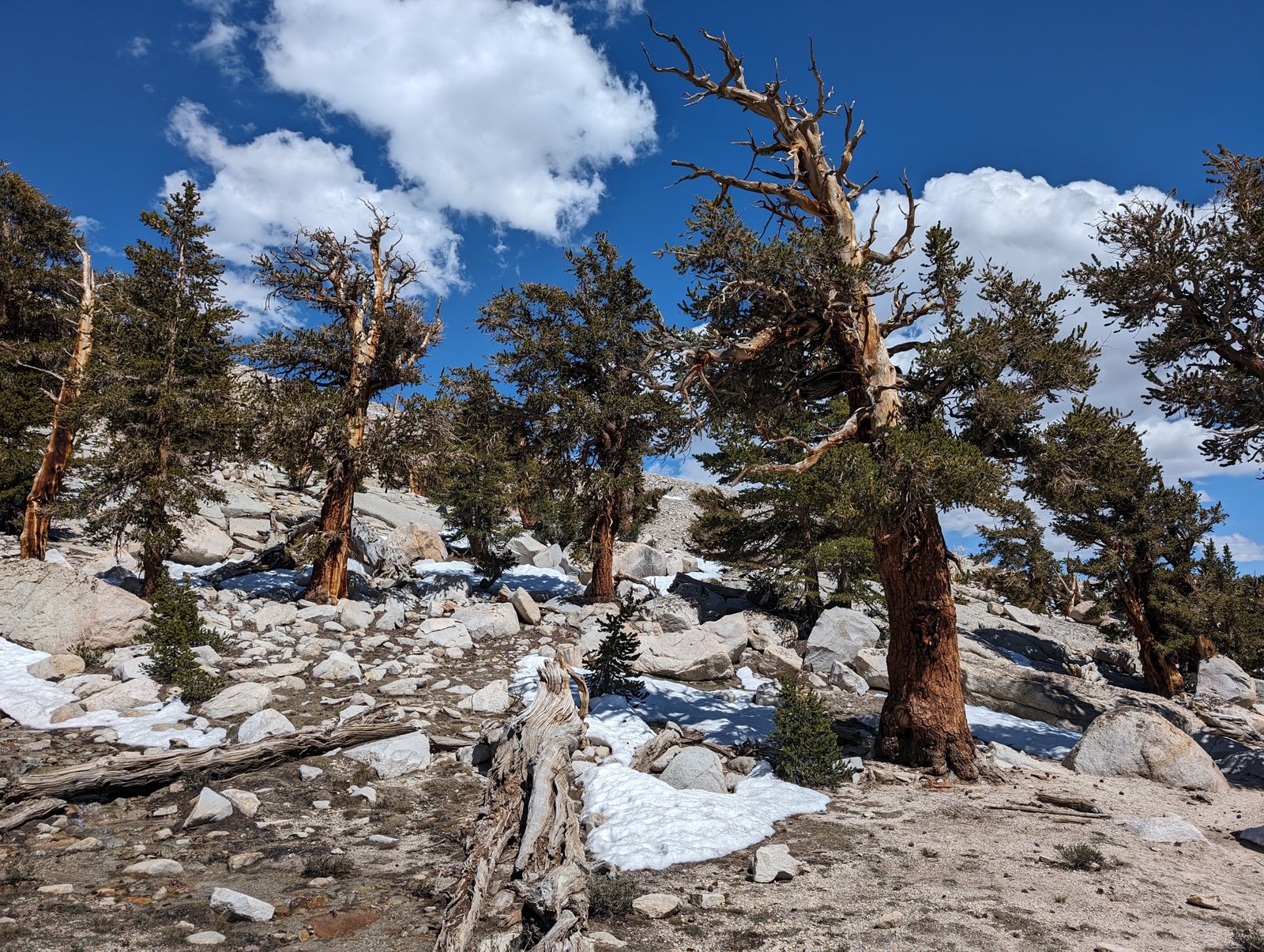
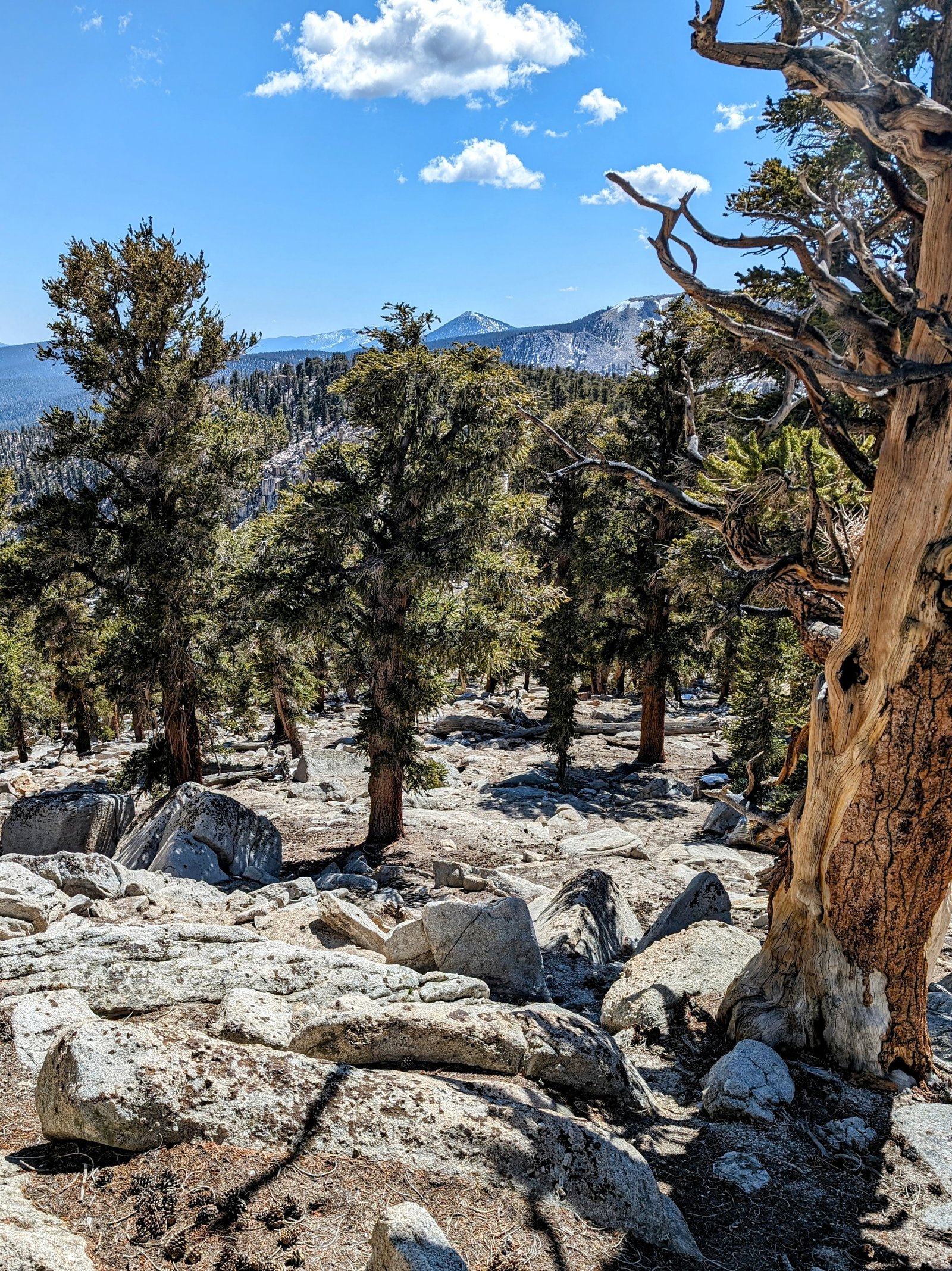
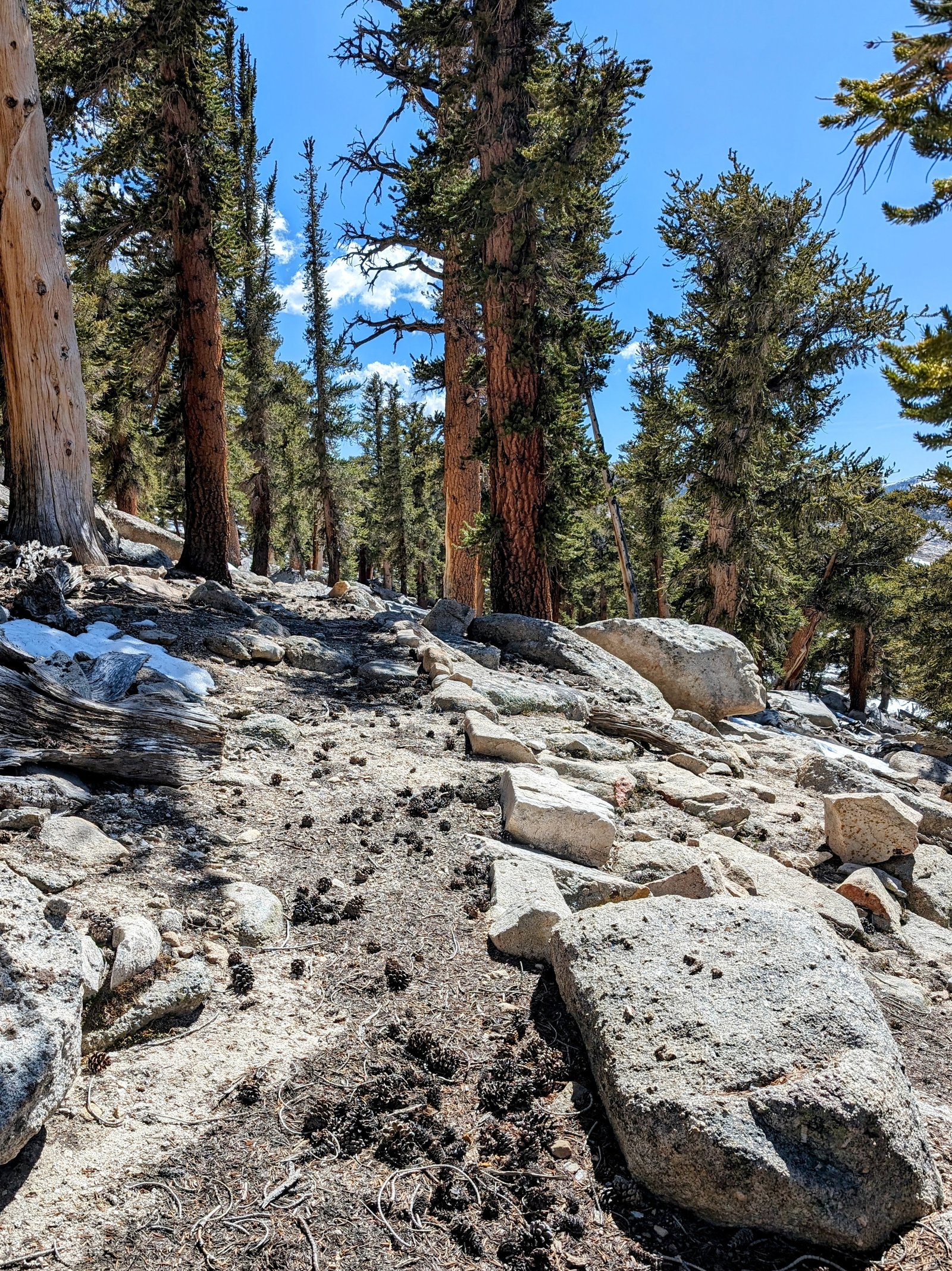
The initial descent was easy travel through a foxtail pine grove.
It’s always interesting to find trails that no longer exist on maps. Apparently I am not the only person who thought it would be nice to follow the Golden Sequoia Divide down to Siberian Pass.
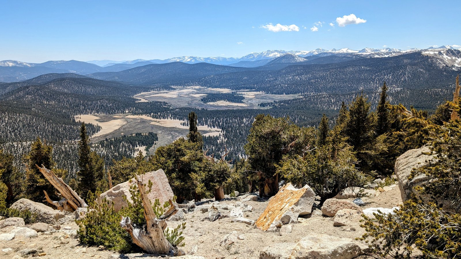
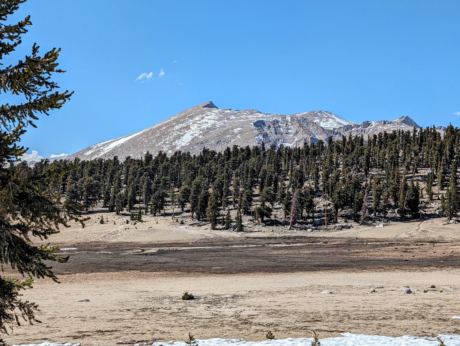
I followed the trail for a quarter mile or so before I lost it in a patchwork of snow fields and downed trees. But from there it was easy to descend towards Siberian Pass through the woods and then along the edge of the Siberian Outpost, a sandy meadow that sits on the north side of the Golden Sequoia Divide.
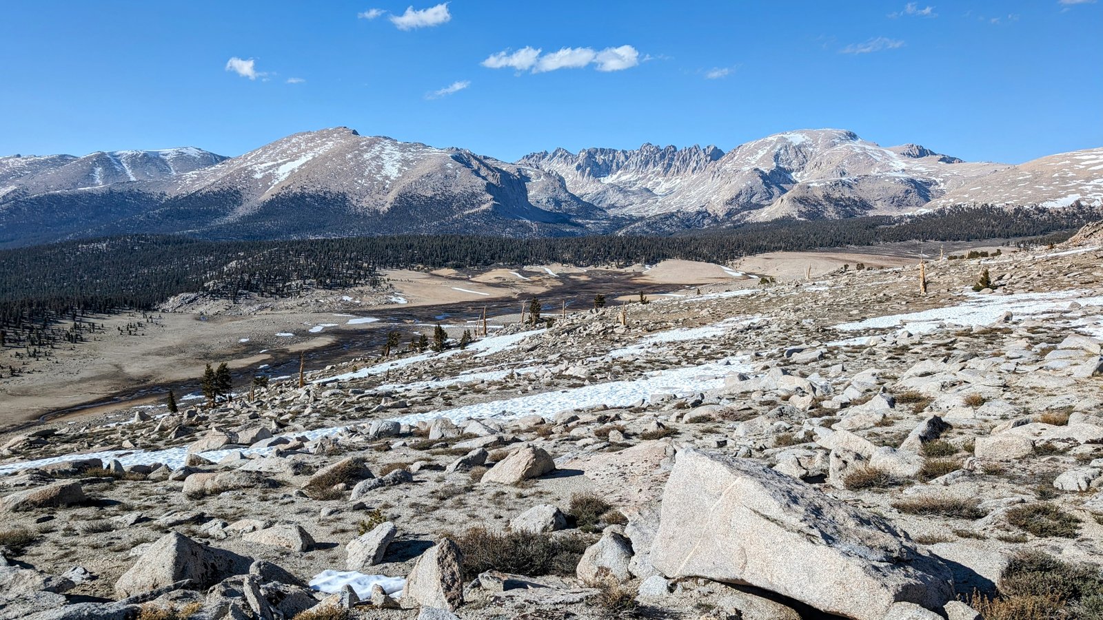
From Siberian Pass, there was a gradual climb towards a high point on the Golden Sequoia Divide.
There is a saddle below an impressive wall here that leads back down towards Big Whitney Meadow.
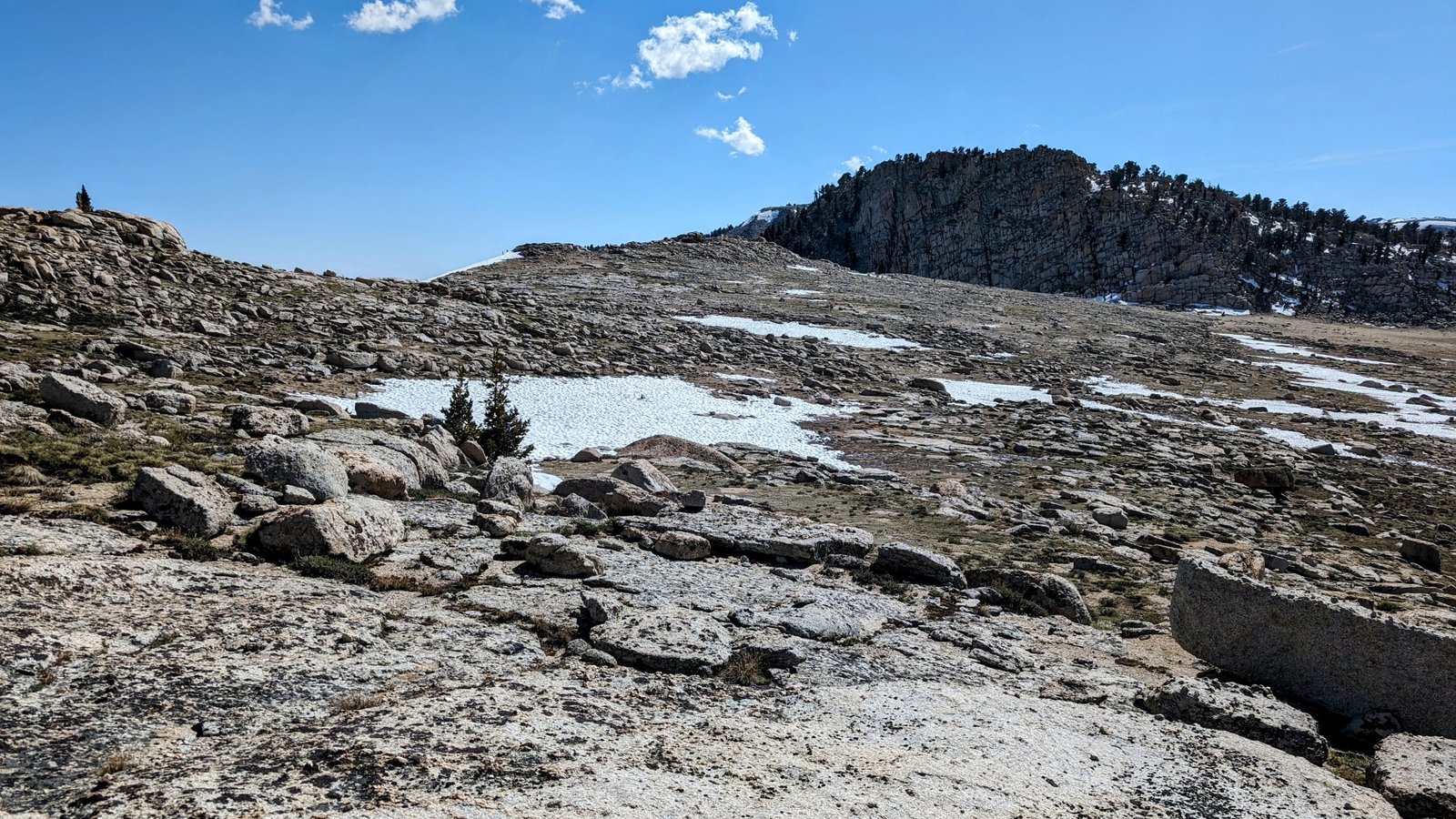
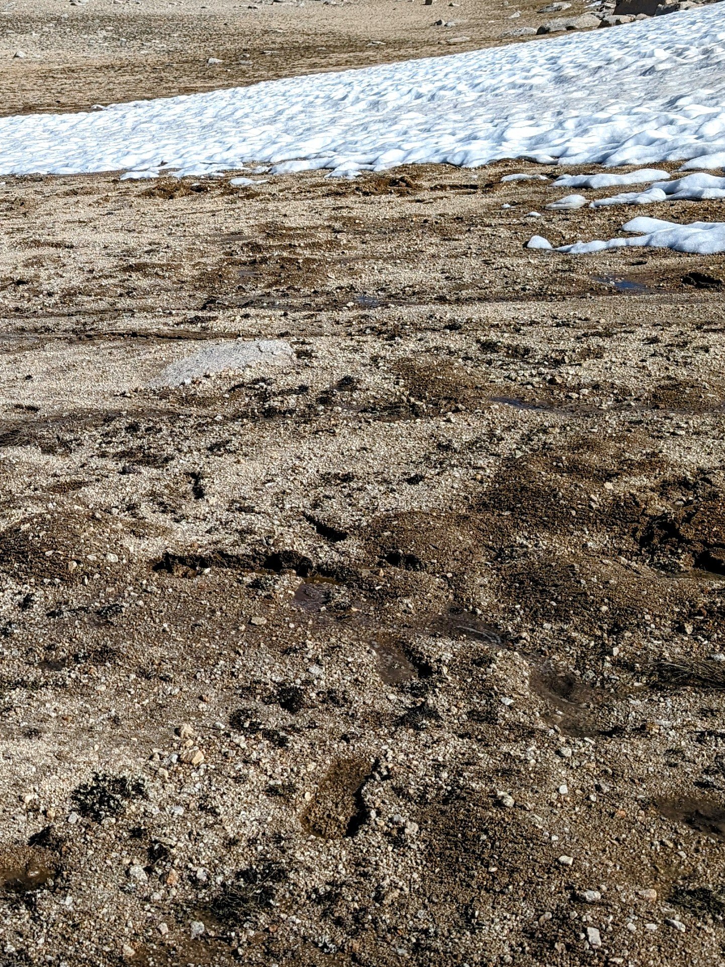
I made my way around the north side of Point 11240+ and stayed below the snowfields bordering the Siberian Outpost. In some places I sunk in the mud!
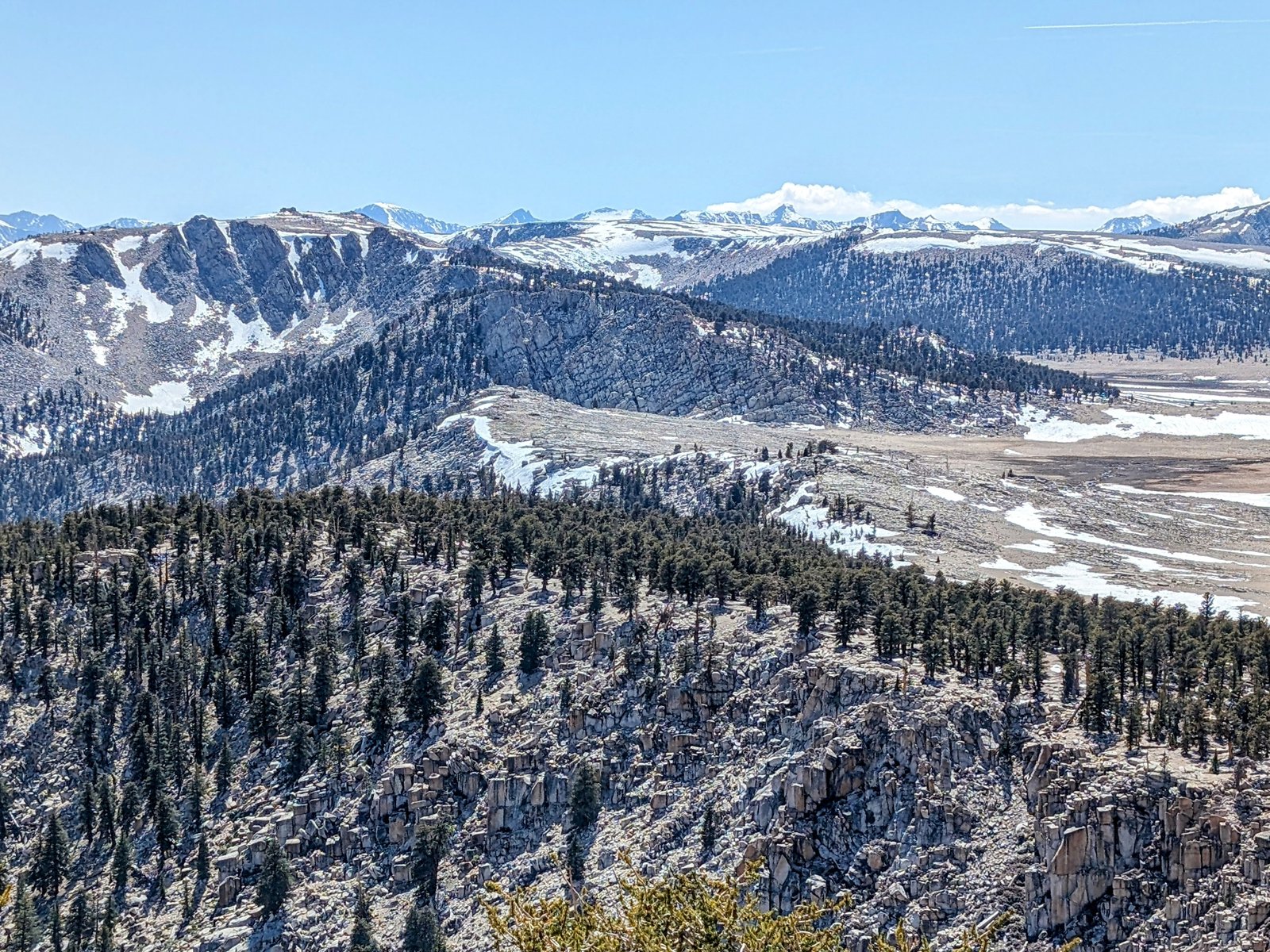
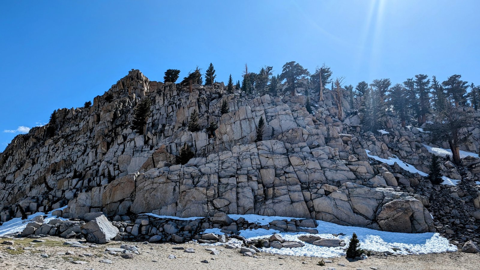
But my feet didn’t get too wet. And soon I headed back into the woods and back up onto the Golden Sequoia Divide. When I emerged I had a lovely view of another rocky wall right on the divide.
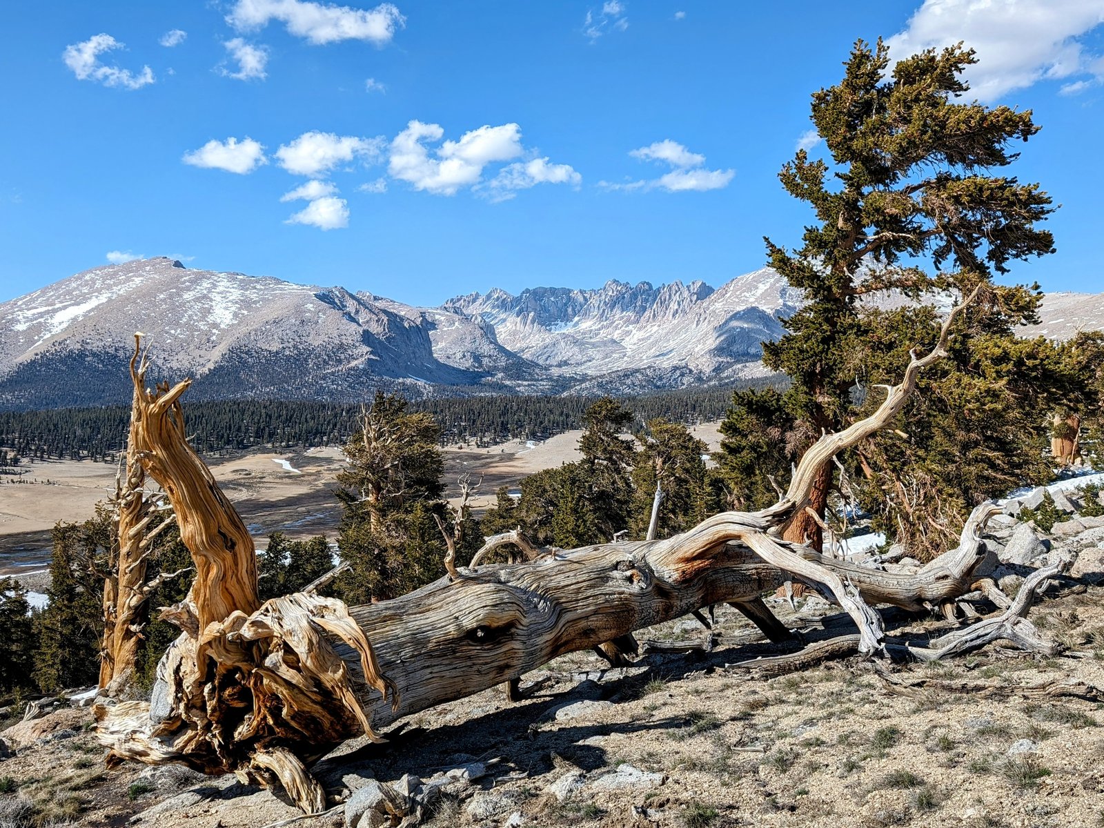
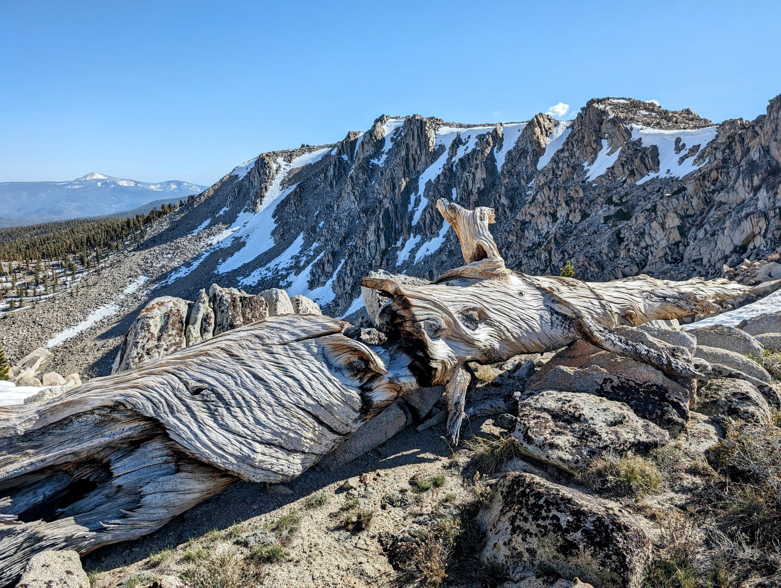
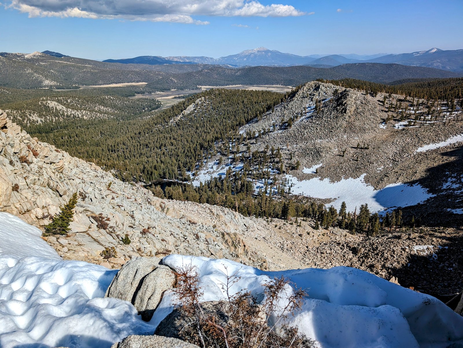
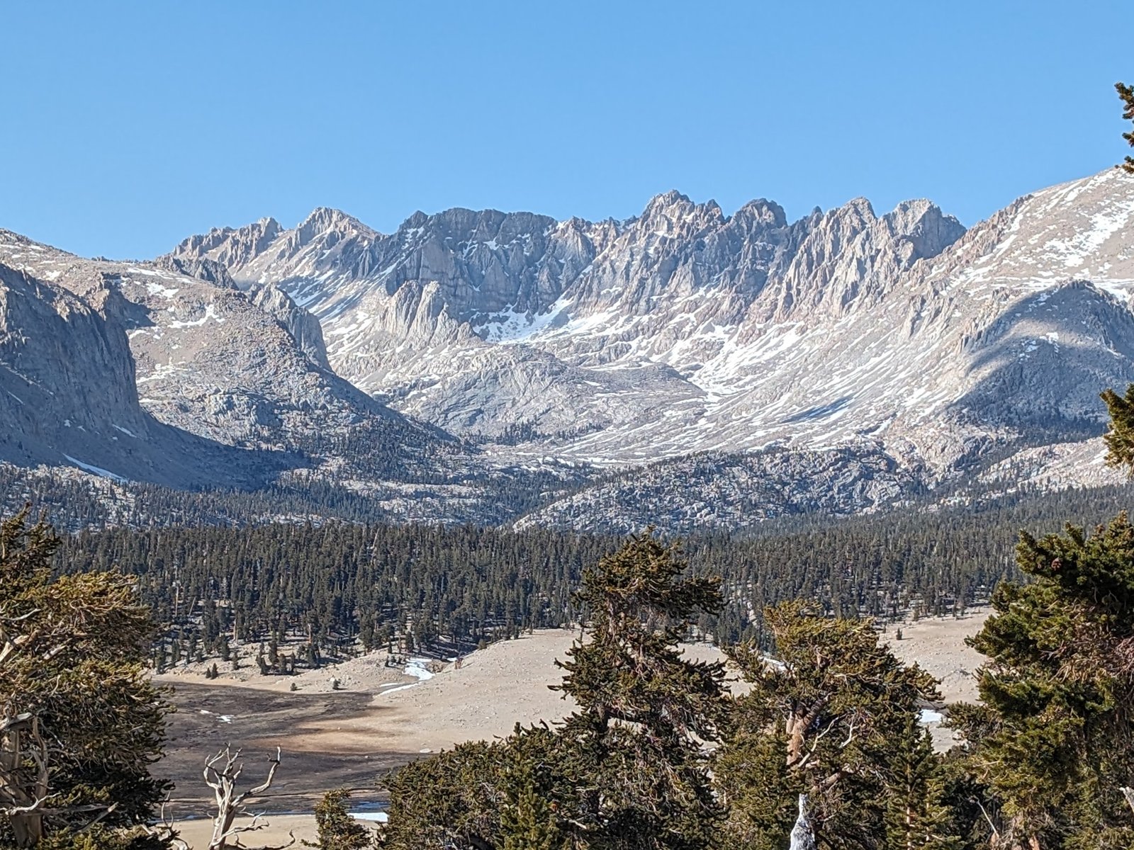
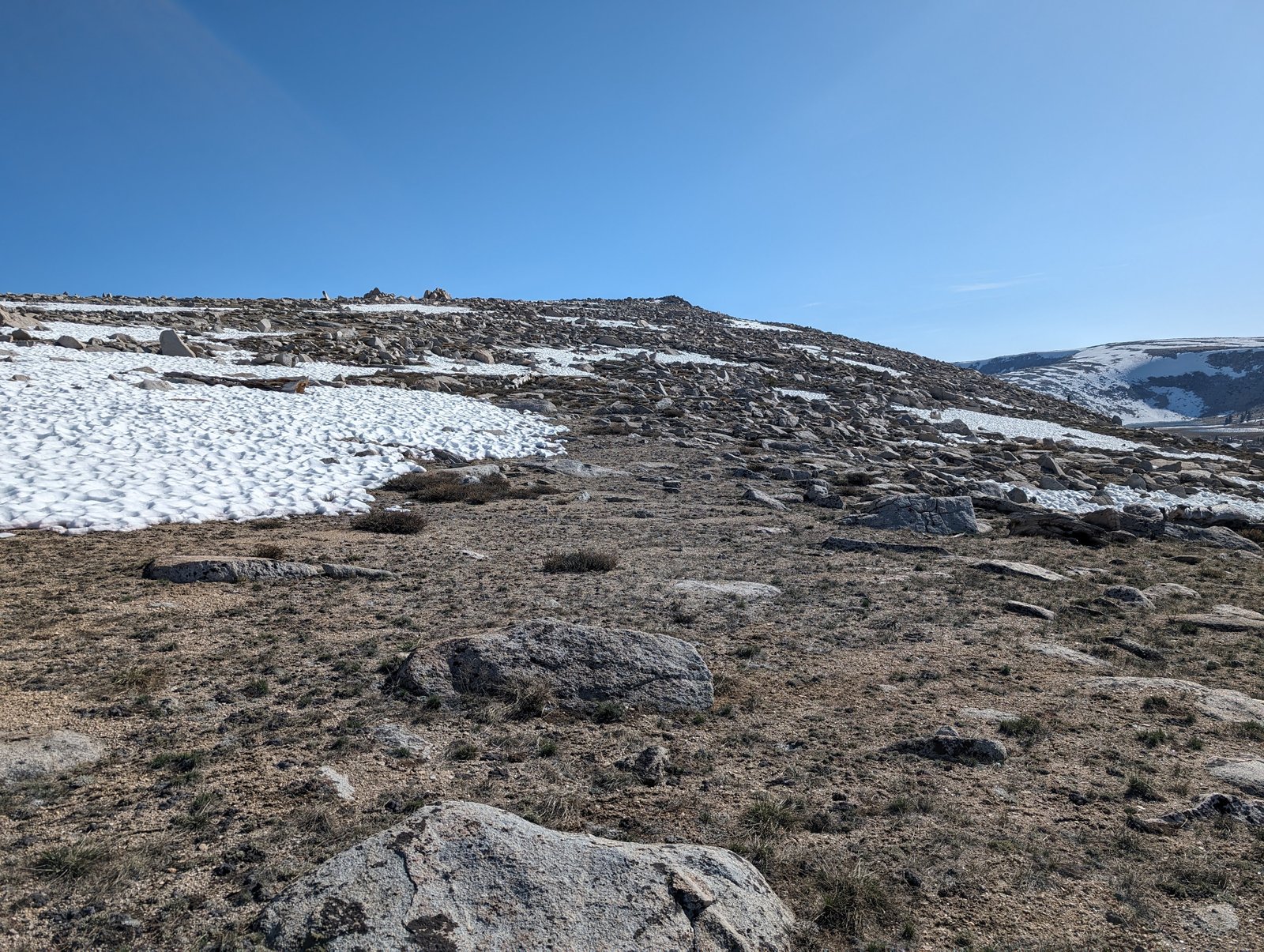
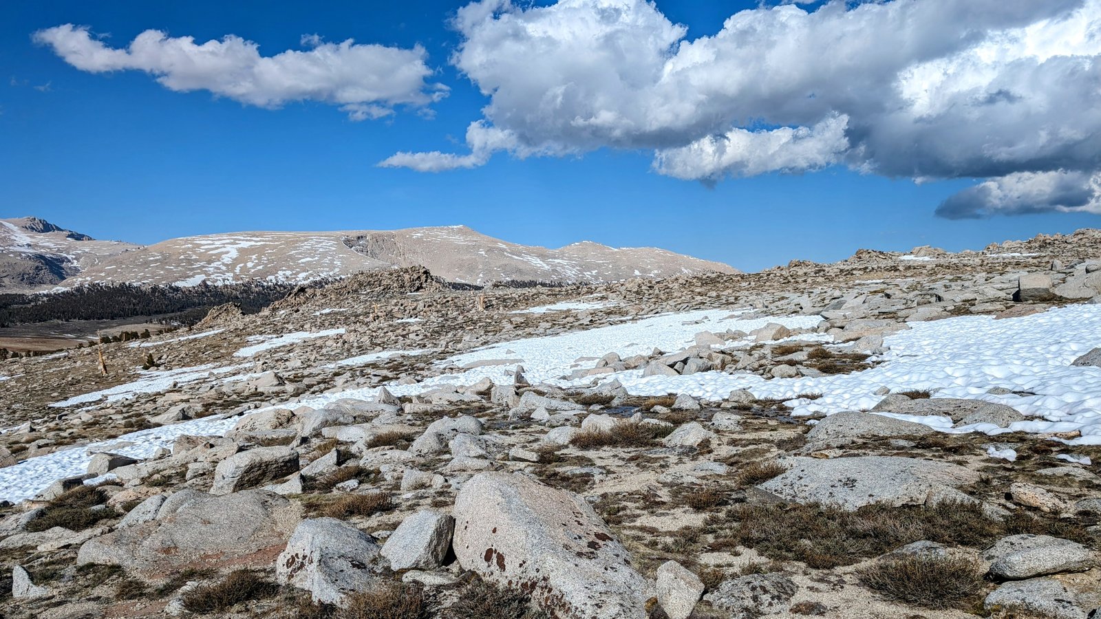
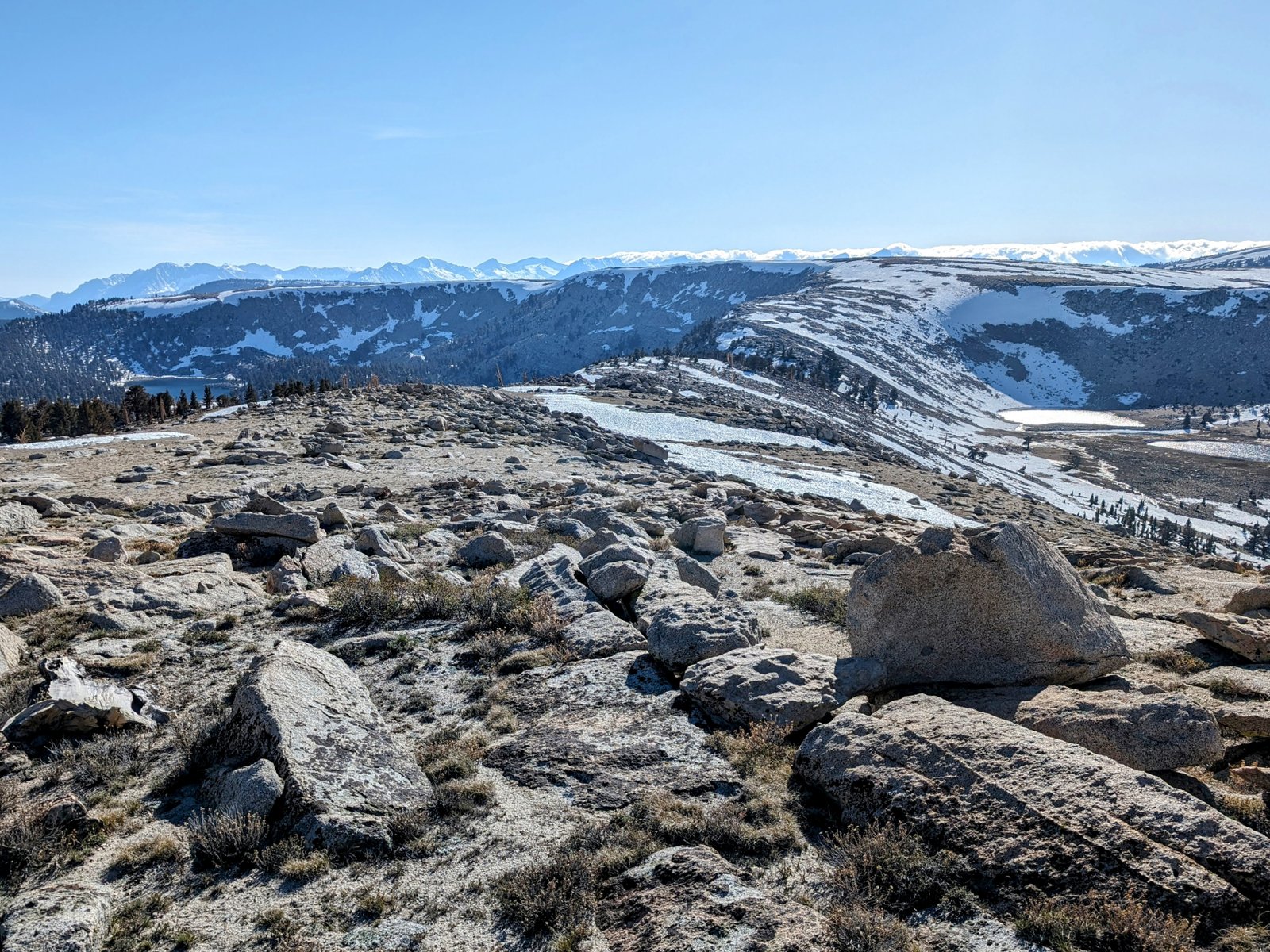
Once out of the trees the way was flat but rocky. The views were stunning and they only got better as I neared my peak elevation of the day at Point 11520+.
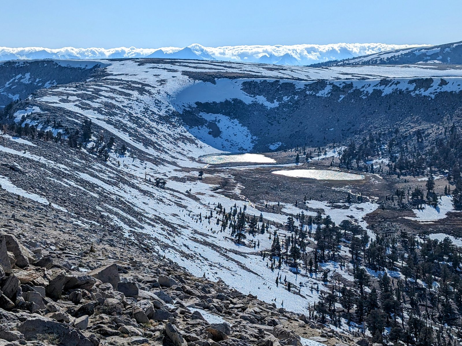
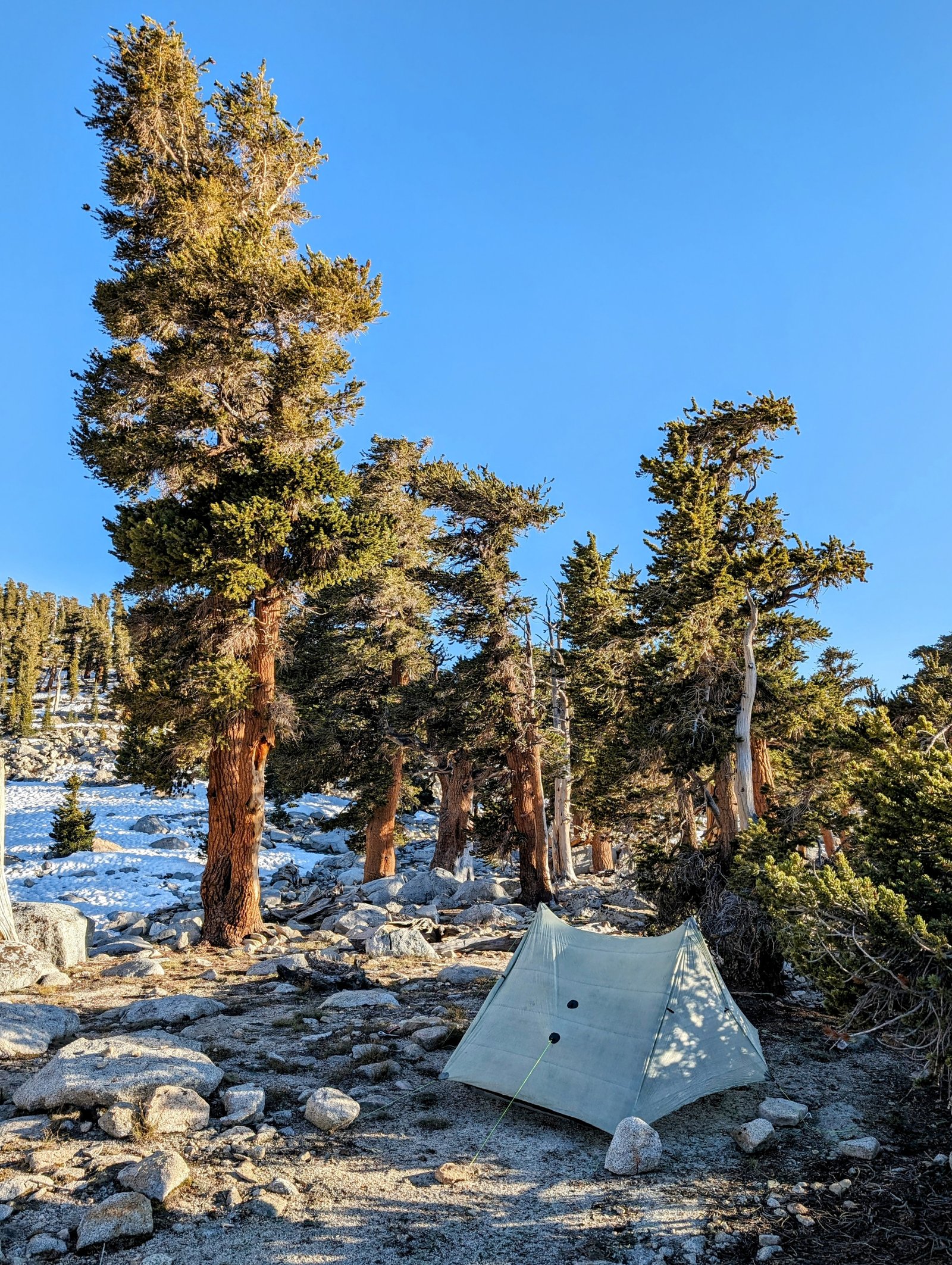
I initially wanted to follow the divide all around the top of the Rocky Basin Lakes and then descend to camp. But I was beginning to lose the sun, so I decided to save that circumnavigation for tomorrow. I followed an easy ridge that led right down to the outlet of the largest of the Rocky Basin Lakes.
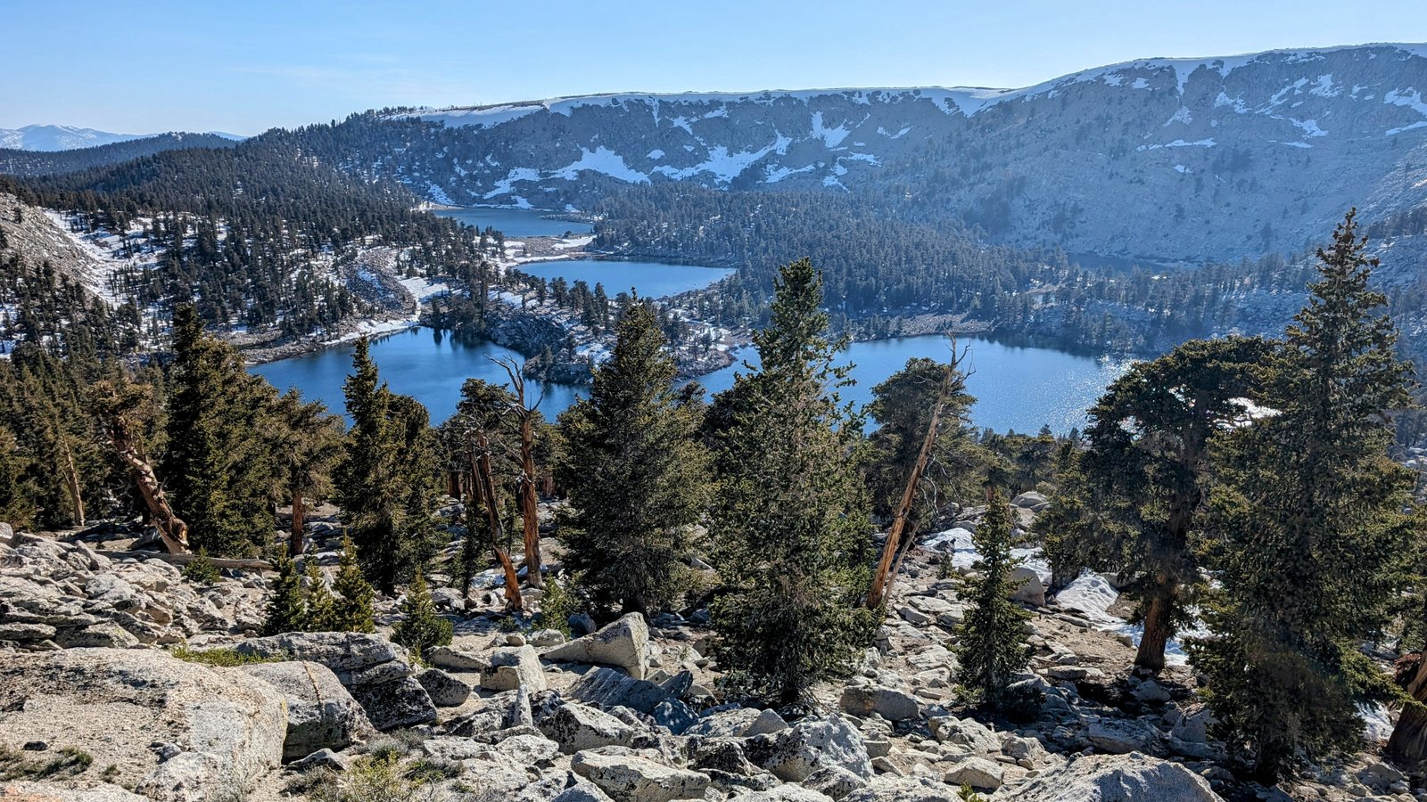
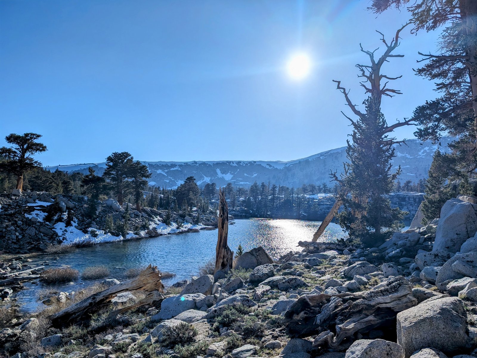
The lakes lived up to their name! At first I was not sure where I would set up my tent amidst all these rocks. But I soon found a lovely wind-protected site high on the ridge between the largest lake and the lake to its southwest.