2 June 2024
Rocky Basin Lakes to Boreal Plateau to Funston Lake to Forgotten Canyon to Rock Creek Trail to Sky Blue Lake
(15 miles, +3,200/-2,400 feet).
It was surprisingly warm last night! I actually shed layers over time to keep from overheating. A bit before sunrise I started to pack and by the time I headed out the lake was just at that Ooh-Aah point.
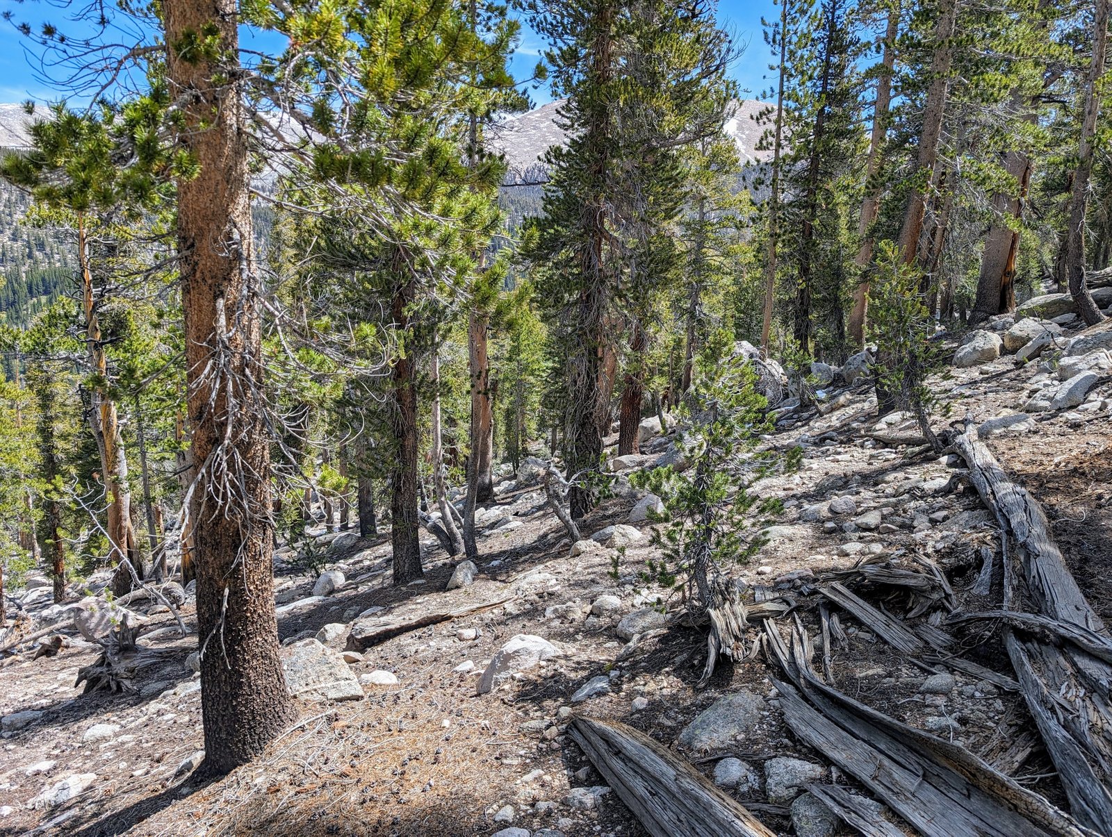
My first task for the morning was to climb back up to the Golden Sequoia Divide. Rather than backtracking, I opted to continue around the largest Rocky Basin Lake to a ravine that would take me up to a saddle at 11,200 feet.
It was steep, but I stayed below a boulder field following duff and small rocks most of the way up.
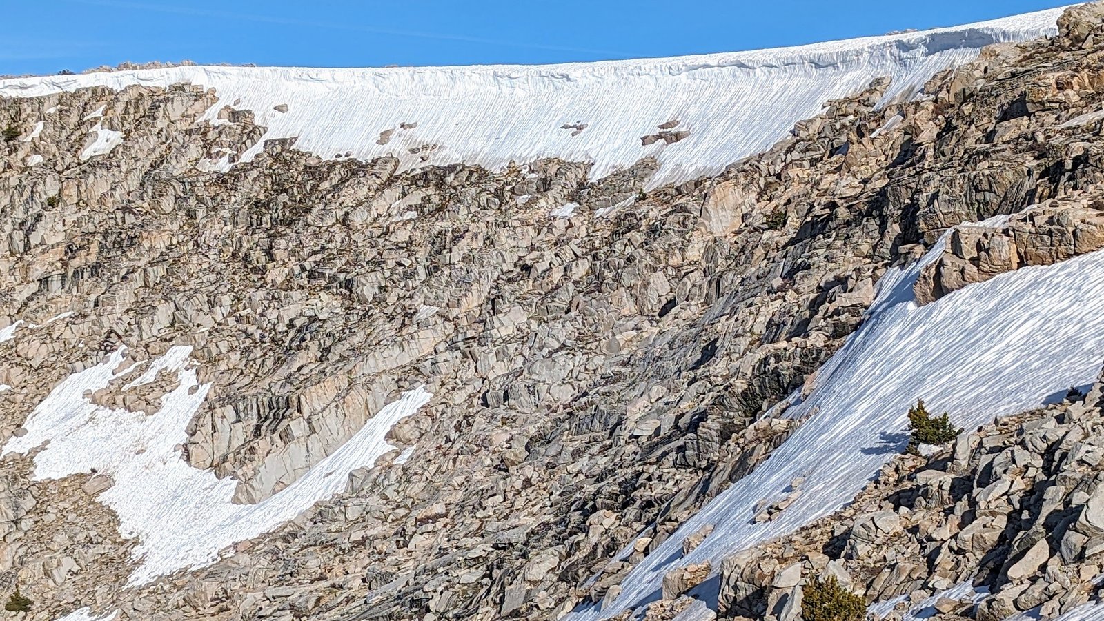
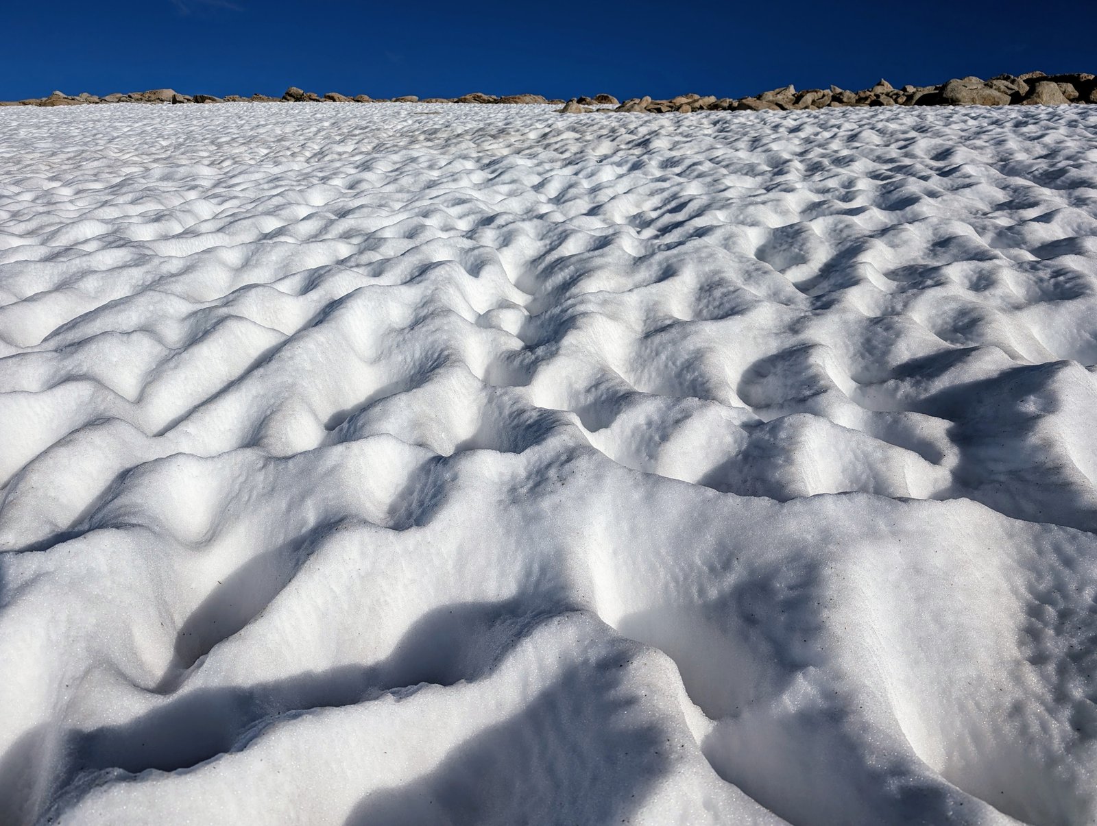
At the saddle the Golden Sequoia Divide was covered by a large snowfield. The suncups were large and still consolidated, so I climbed them without putting on my microspikes.
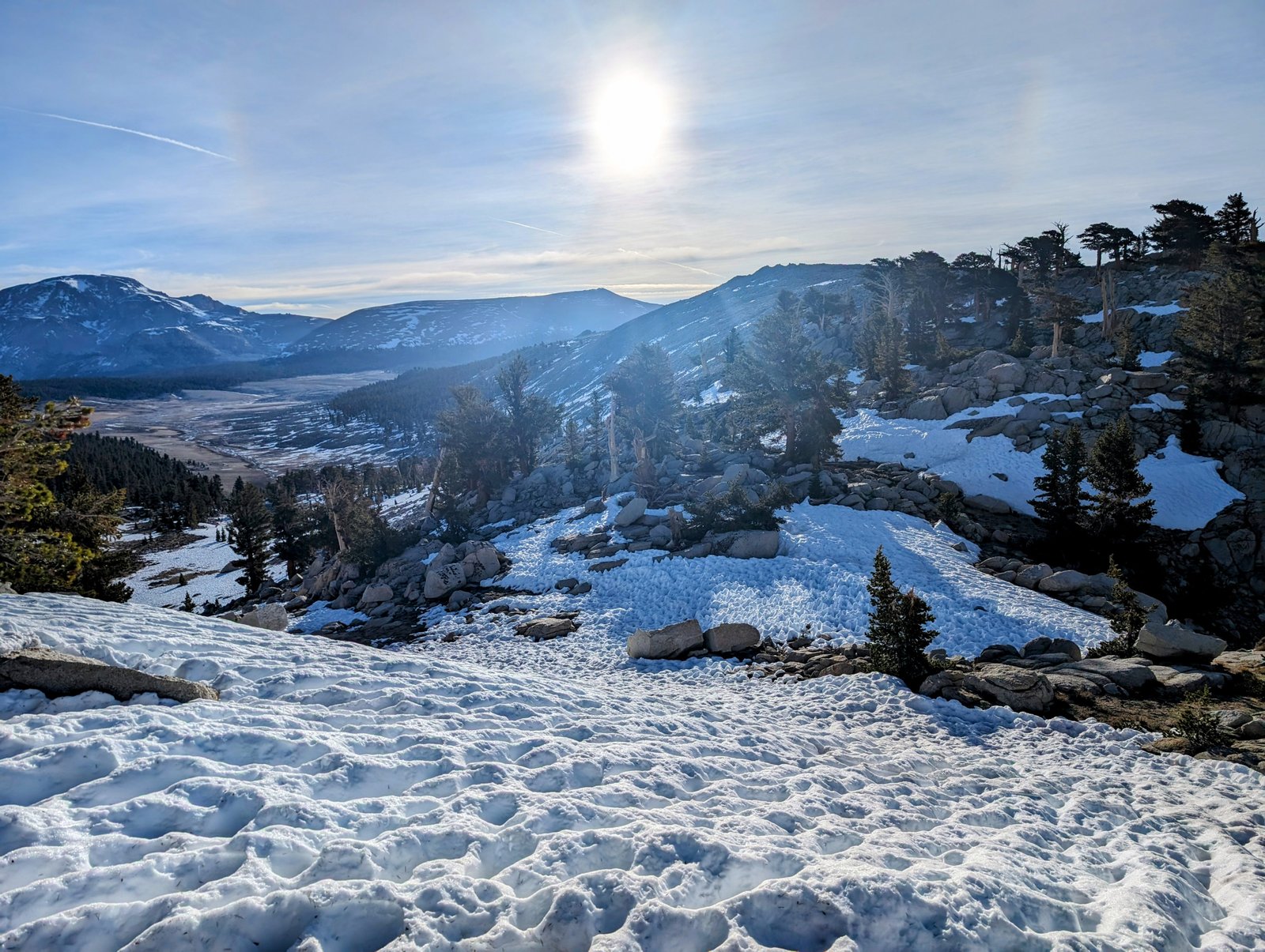
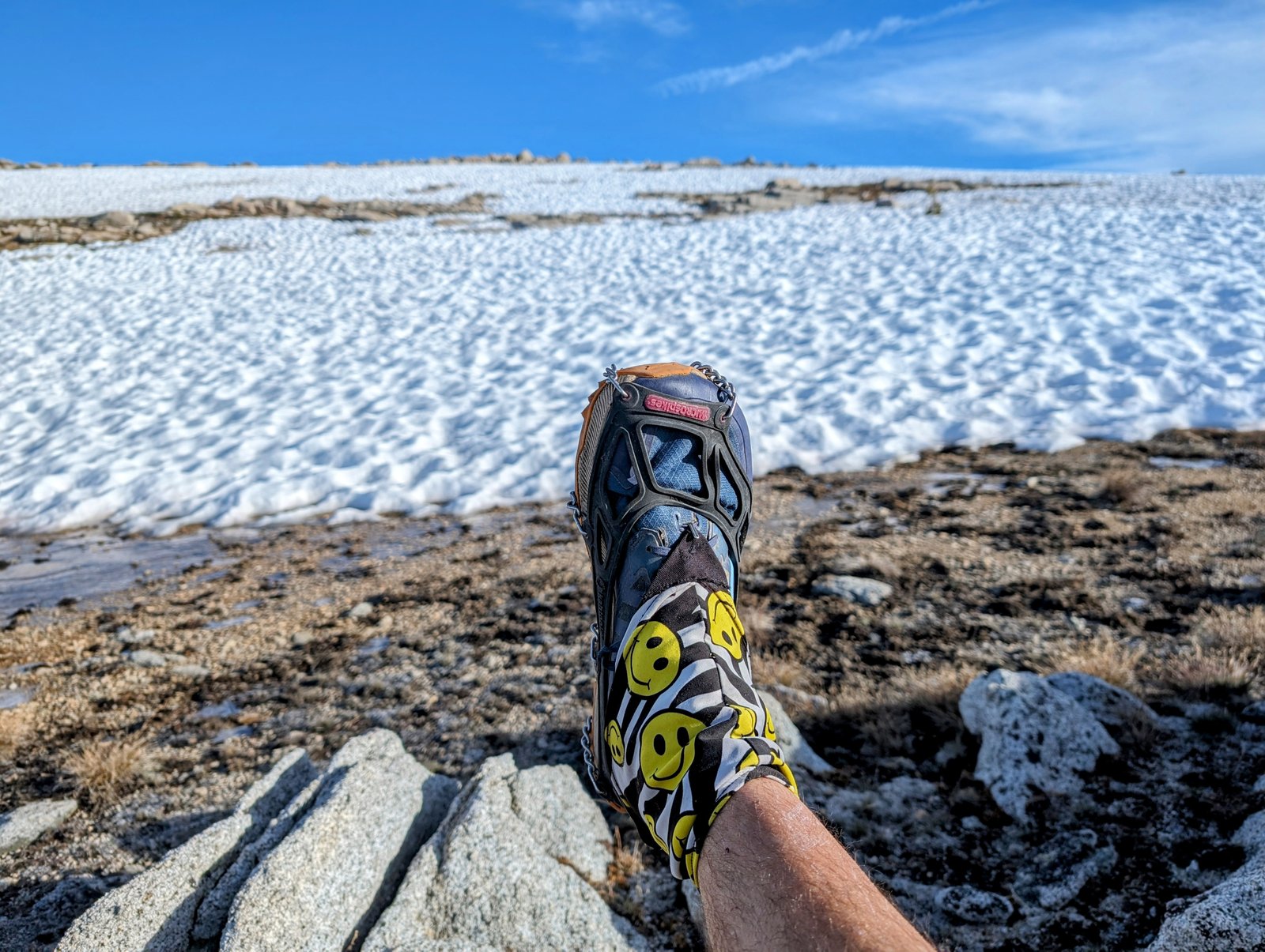
The way forward became less steep but more consistently snow covered. I donned my spikes to make it easier to cross.
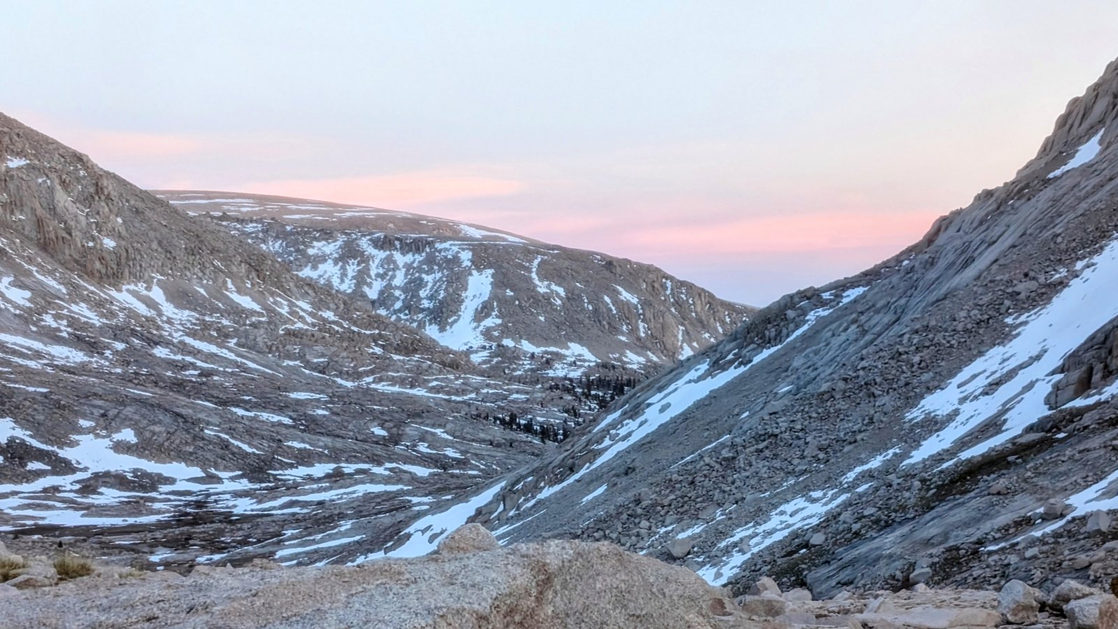
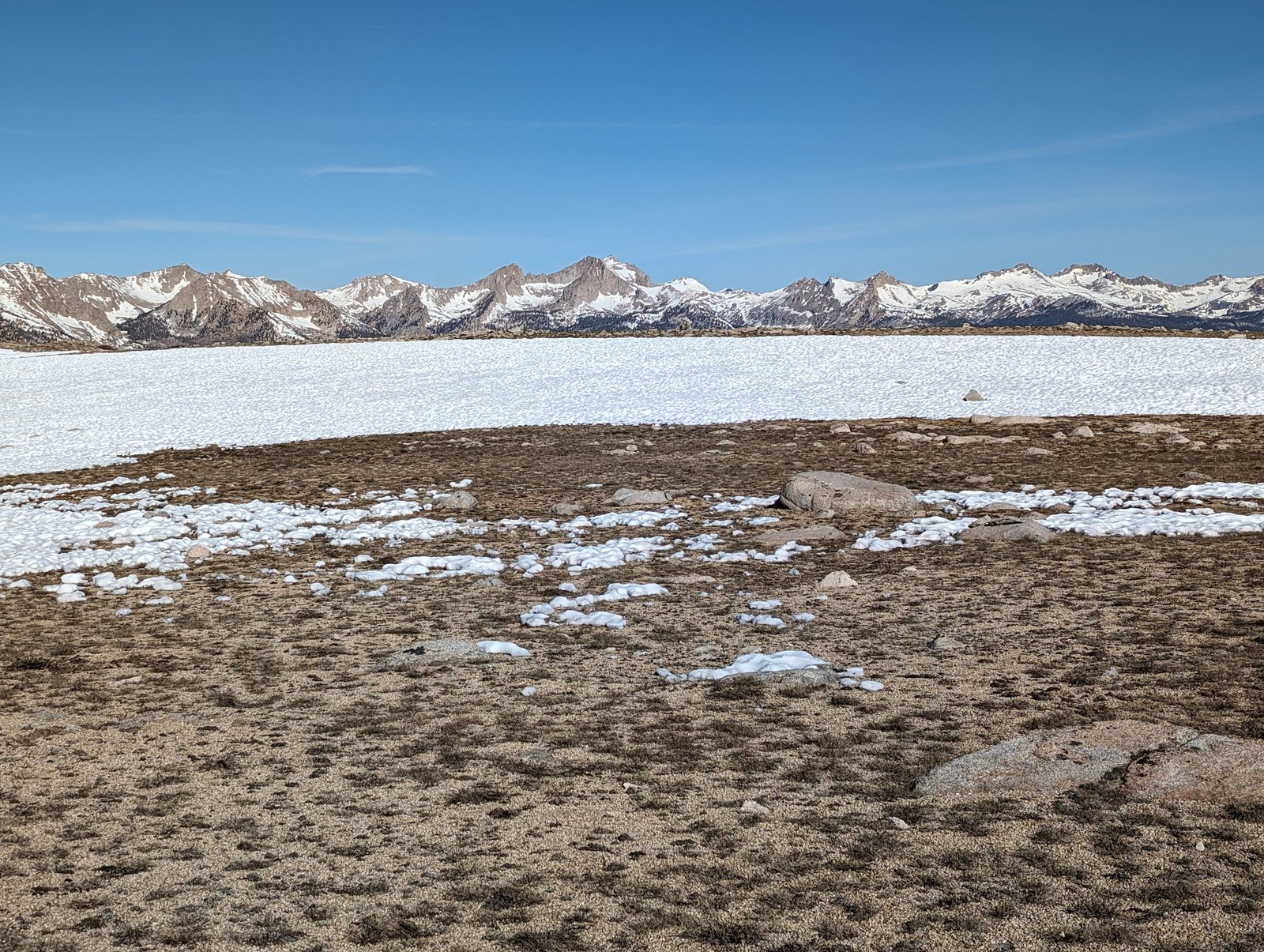
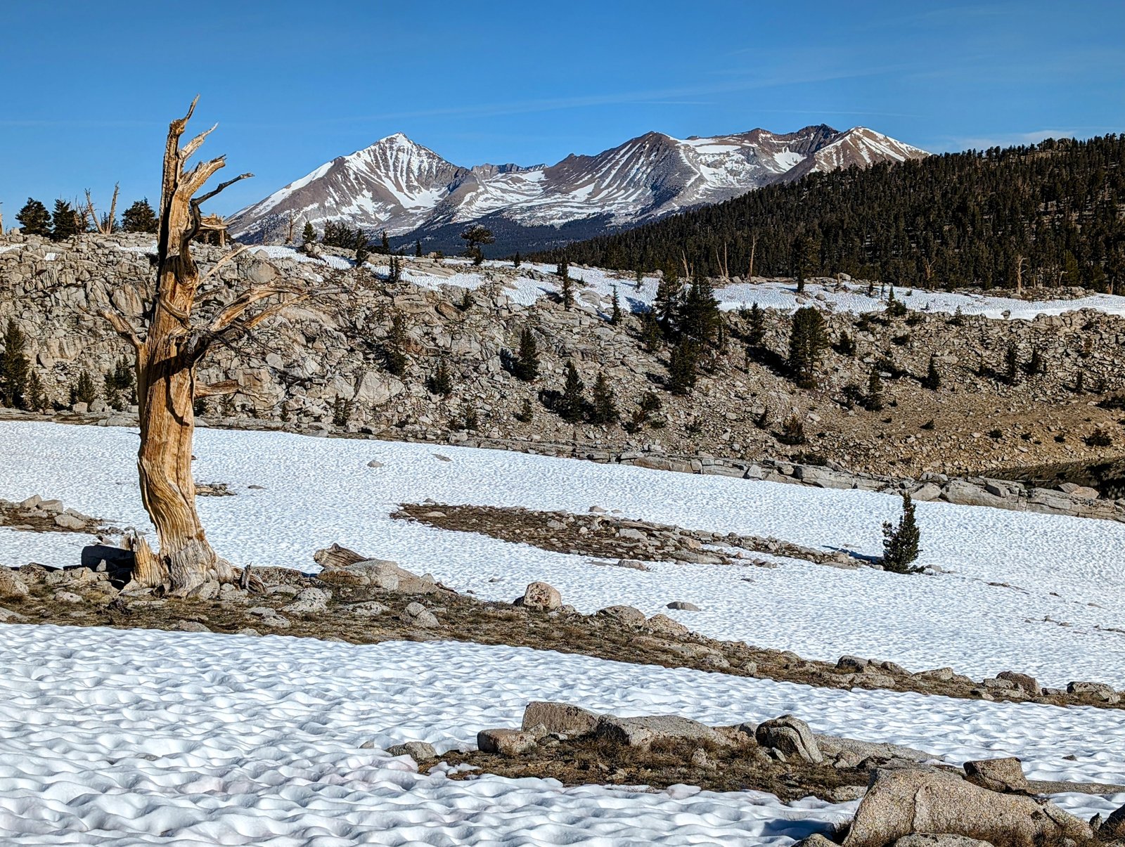
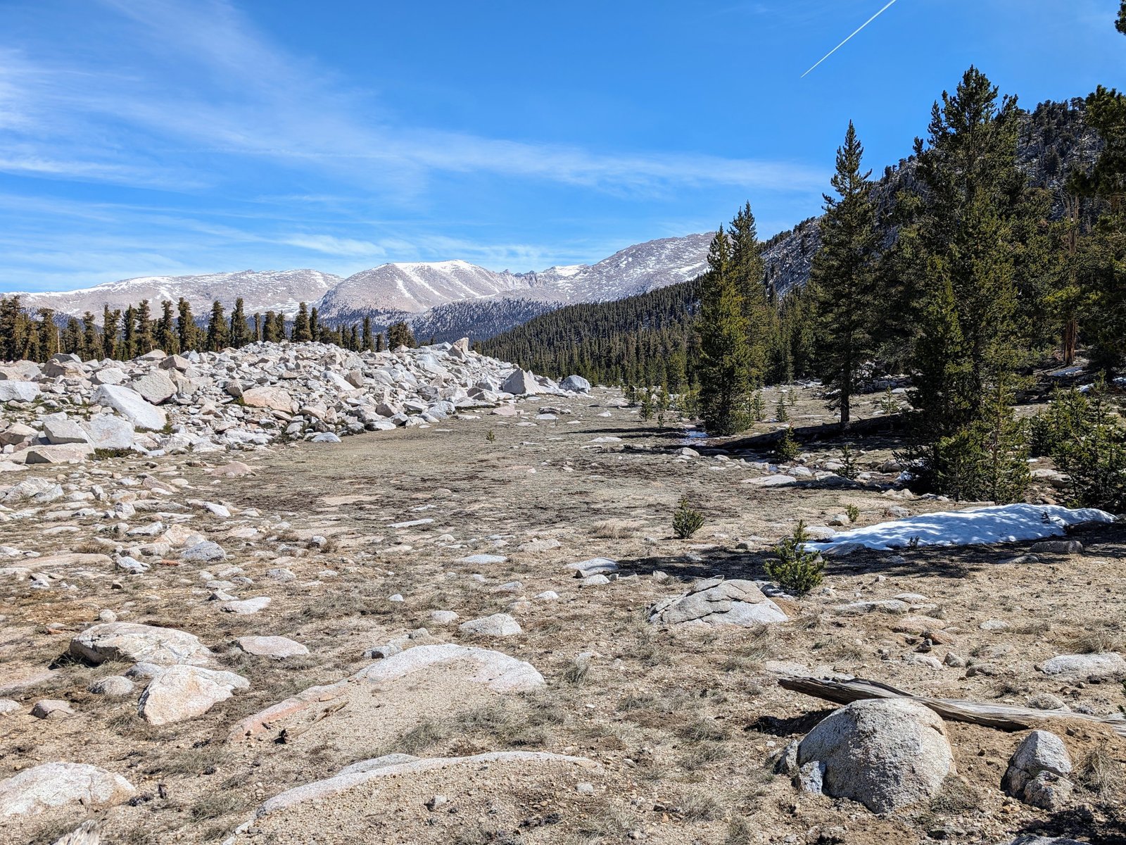
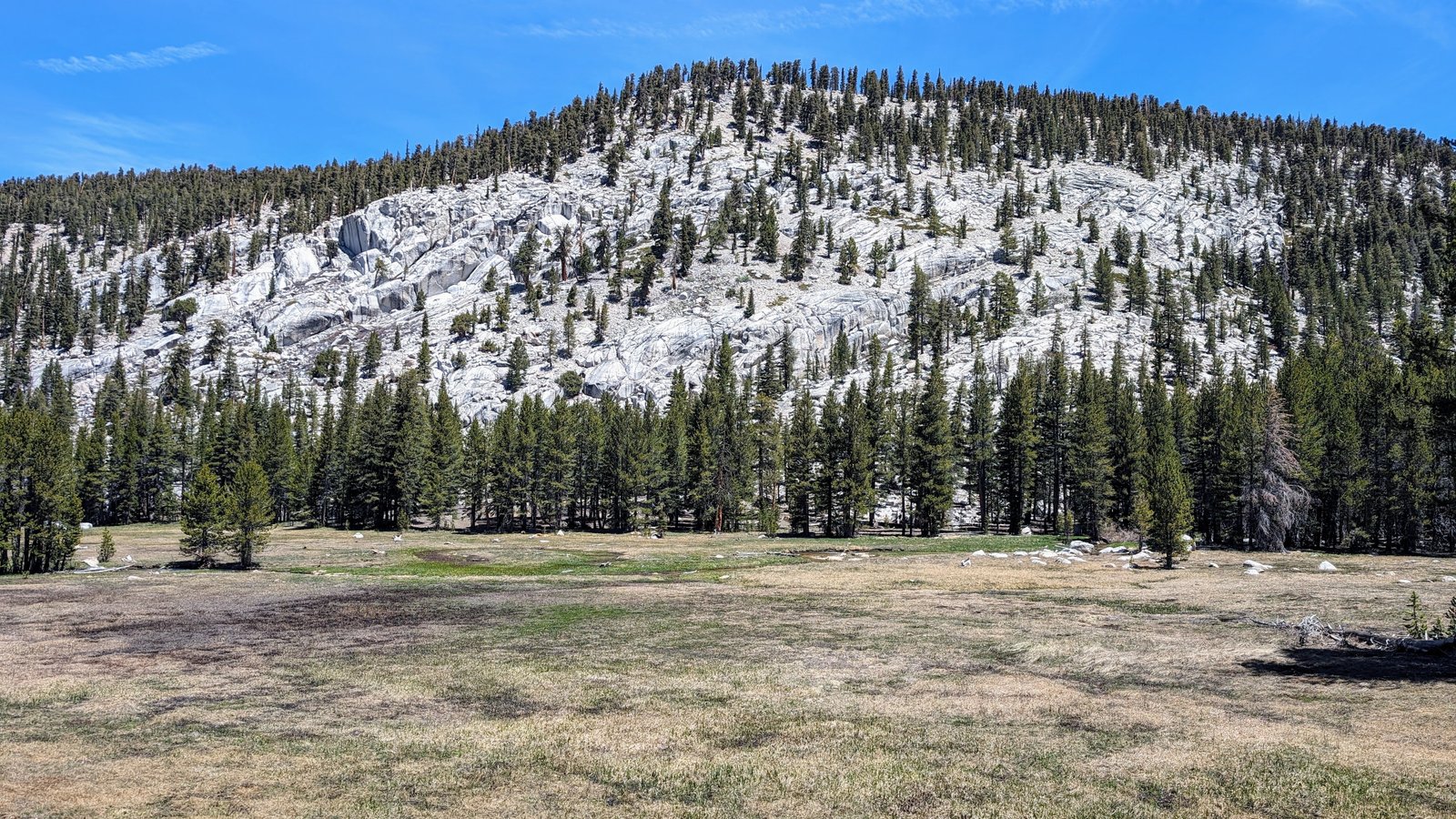
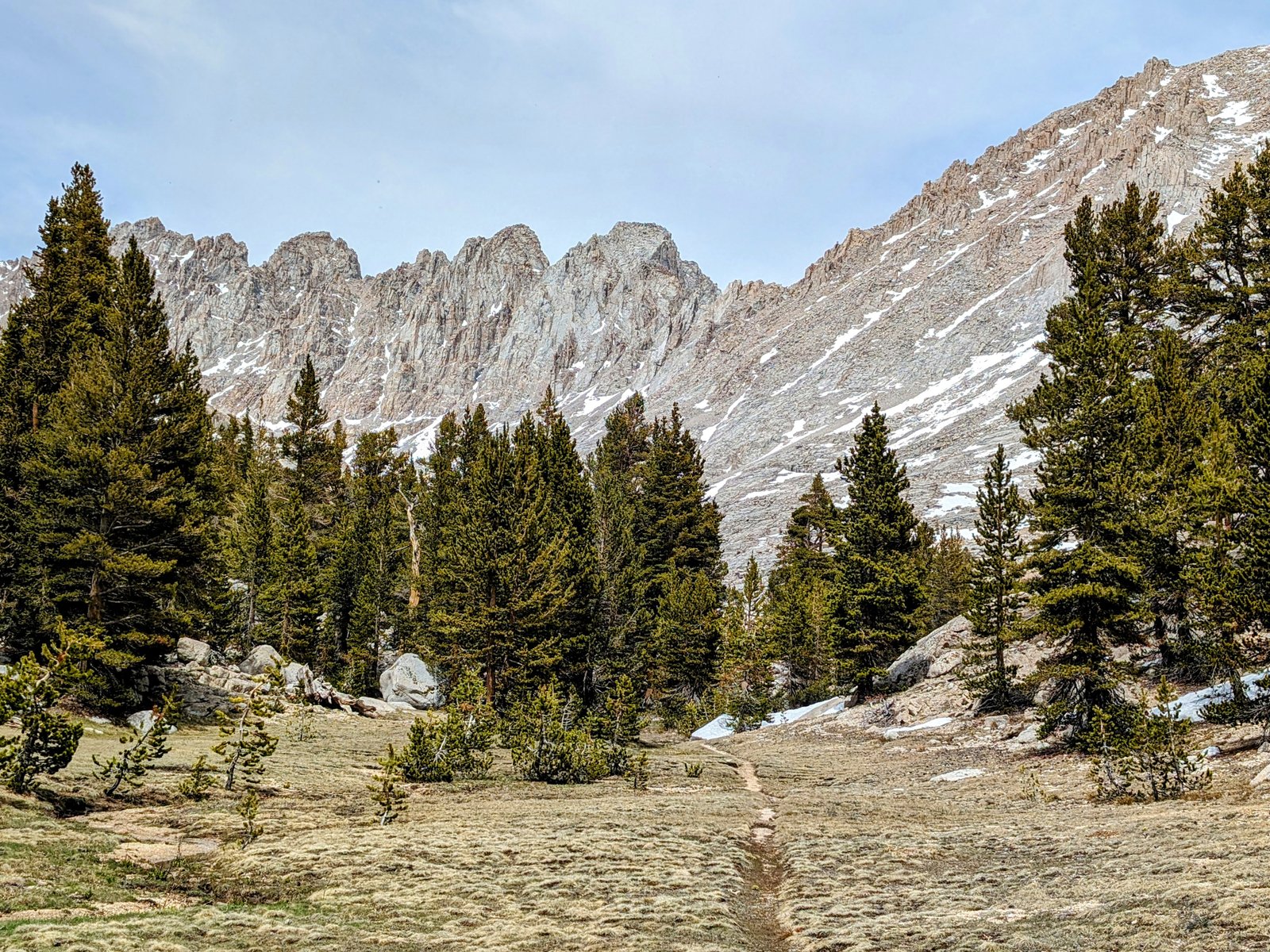
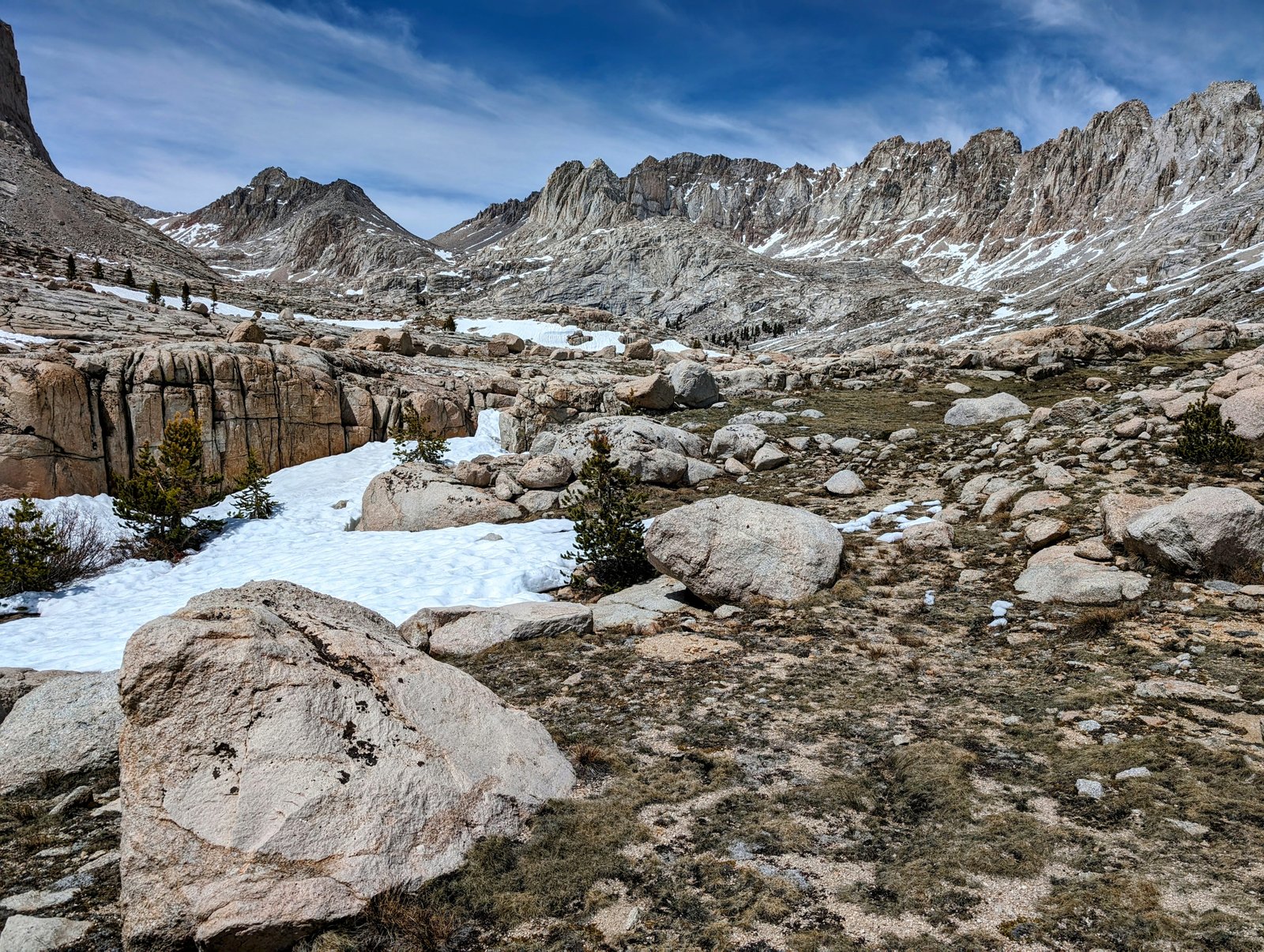
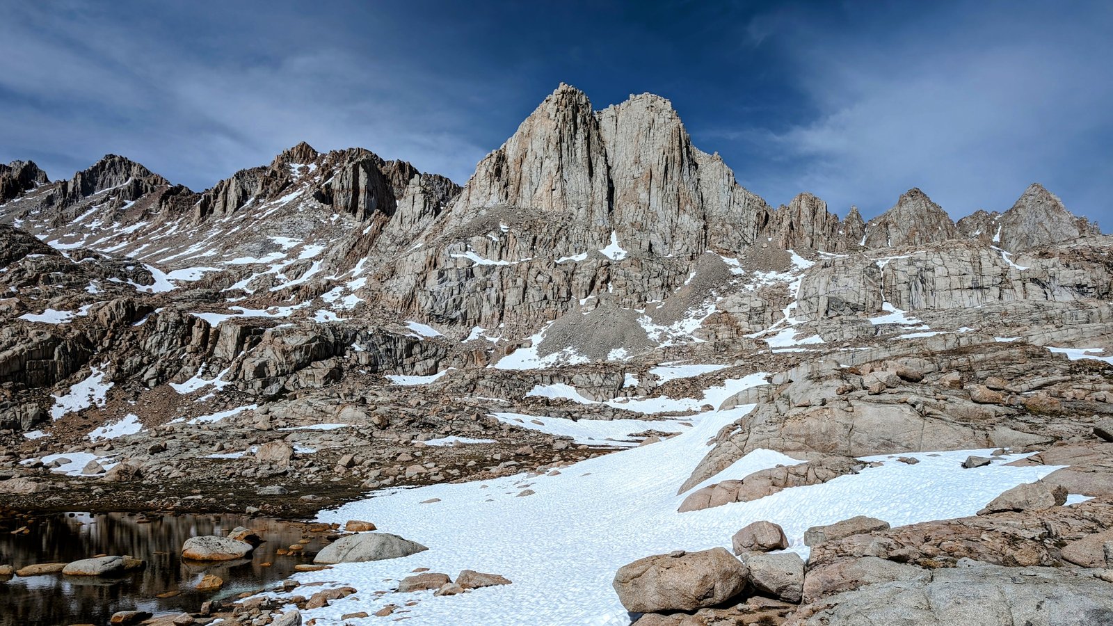
At about 11,500 feet, the snow disappeared and the Boreal Plateau came into full view.
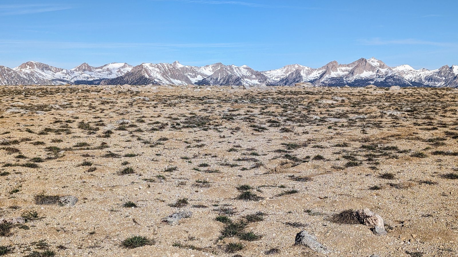
The nearest mountain to the Boreal Plateau is named after the first woman to climb Mount Whitney.
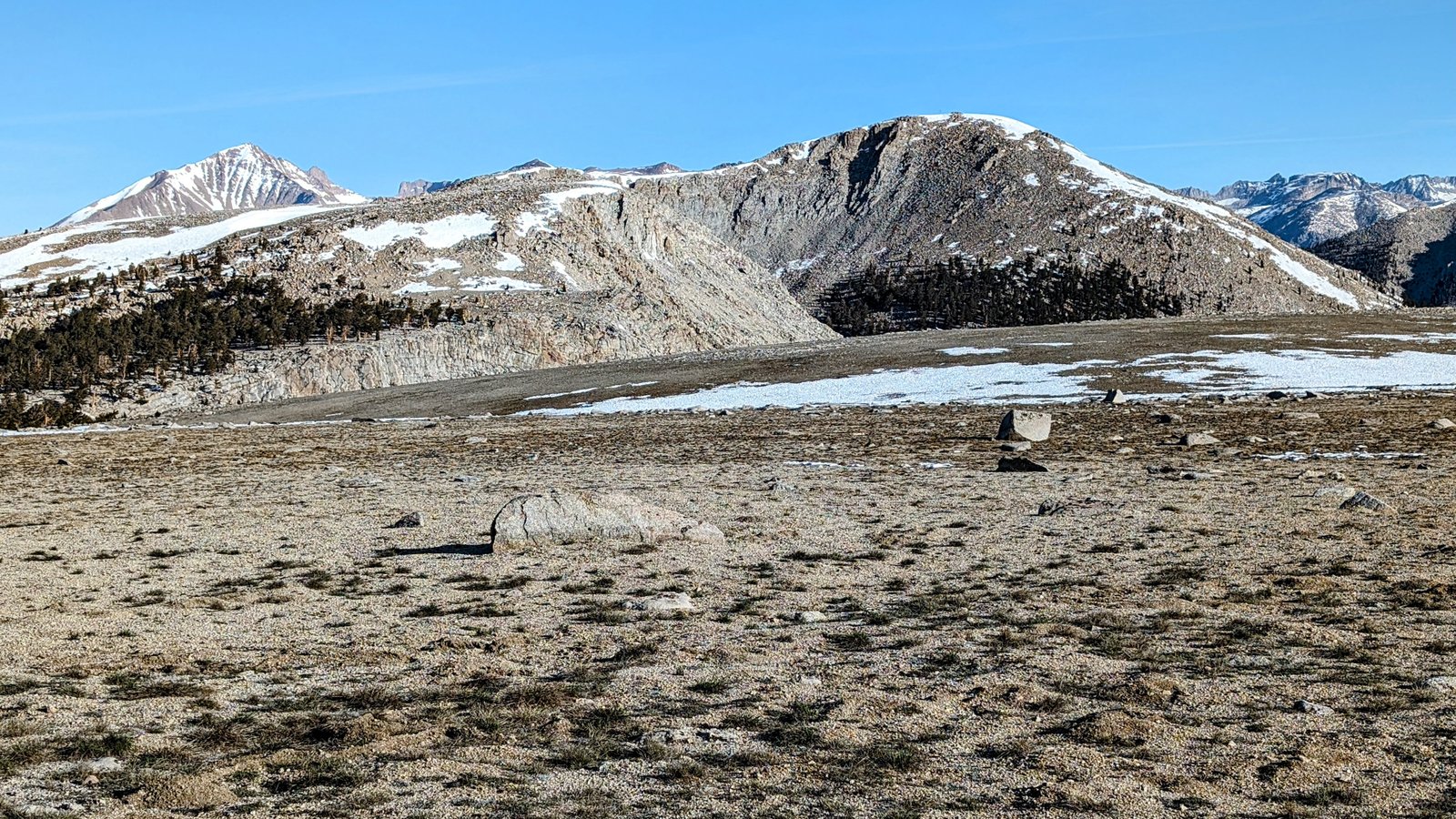
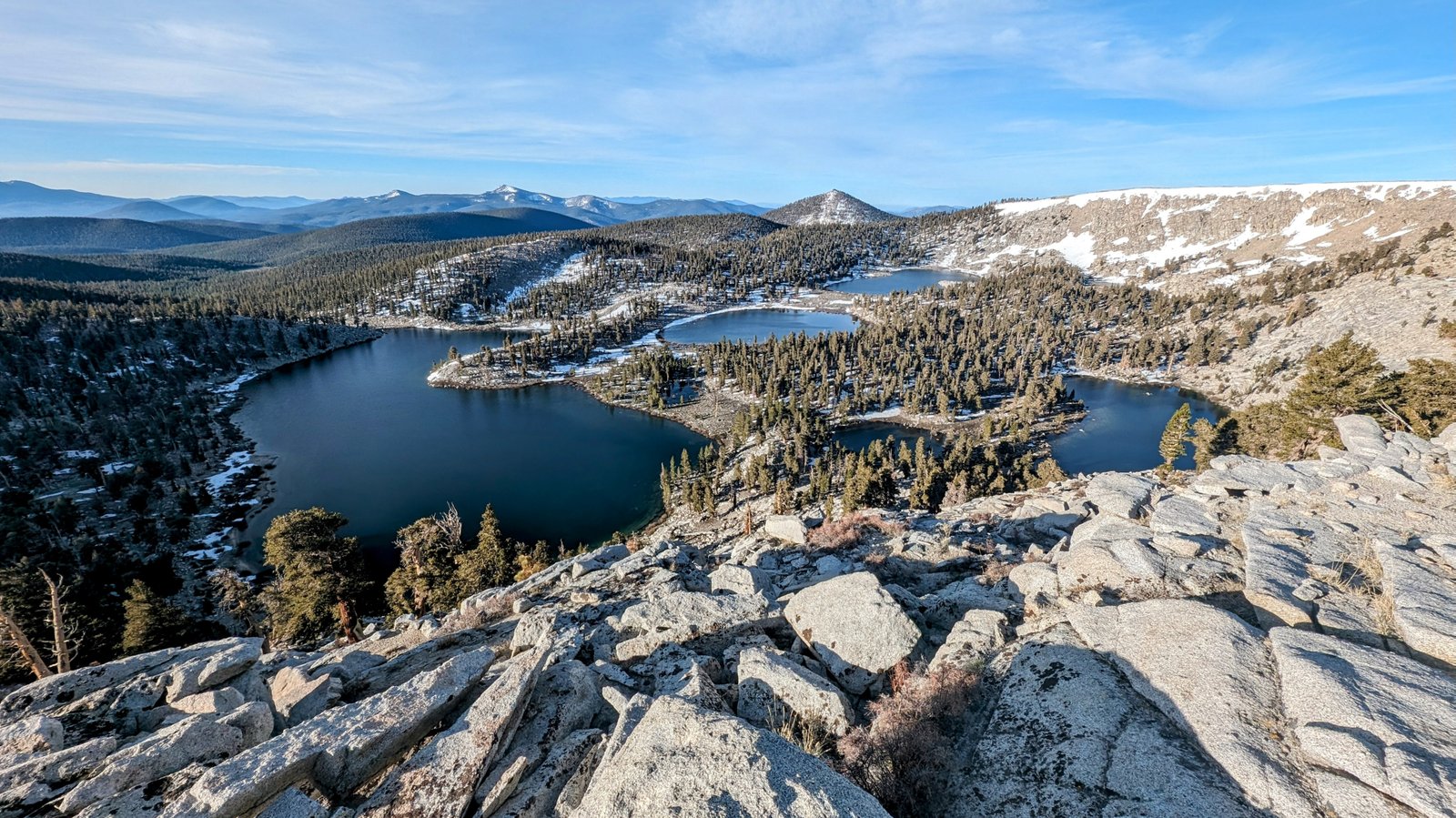
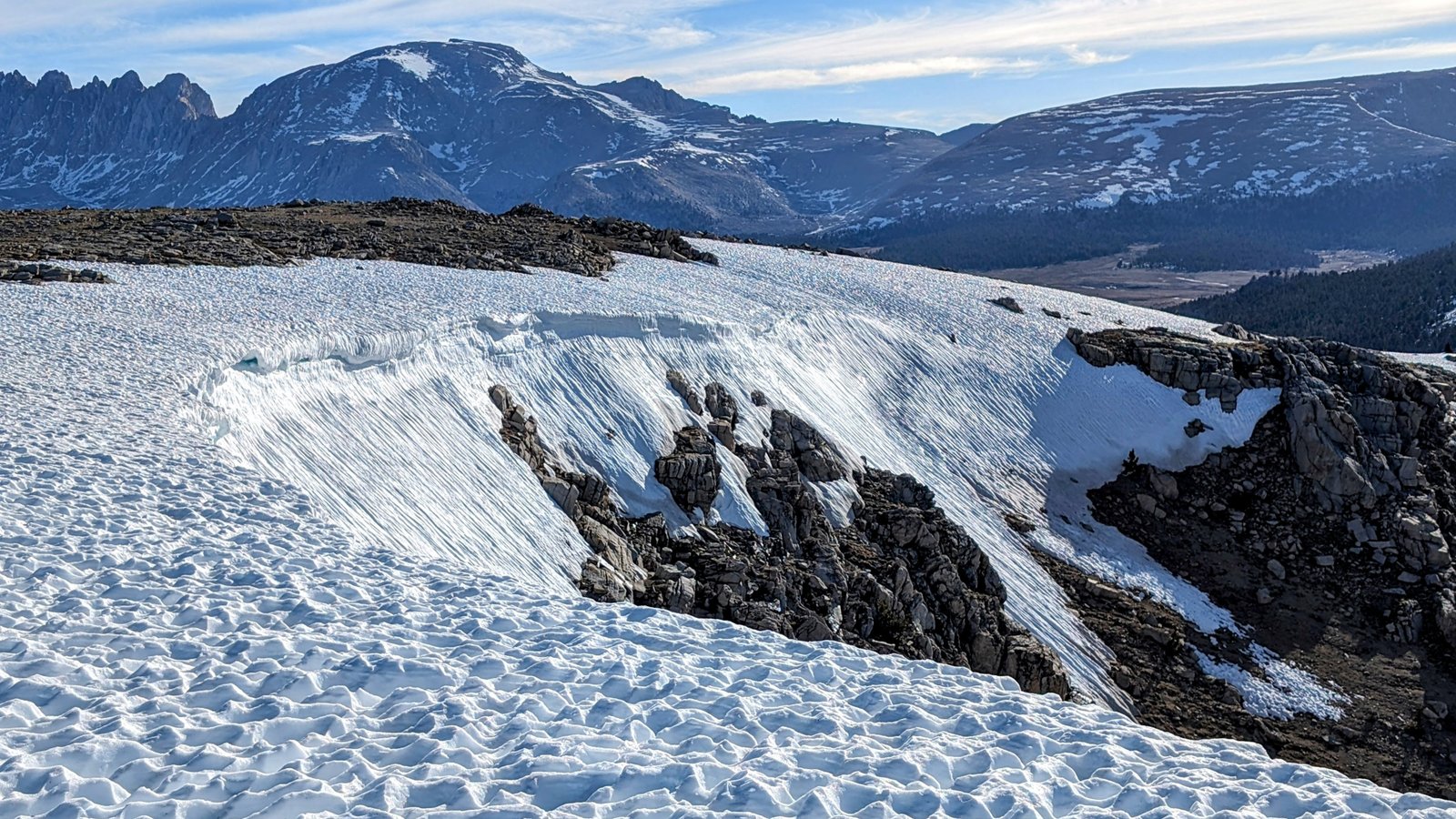
I followed the Golden Sequoia Divide around the ridge above Rocky Basin where the cornices were magnificent.
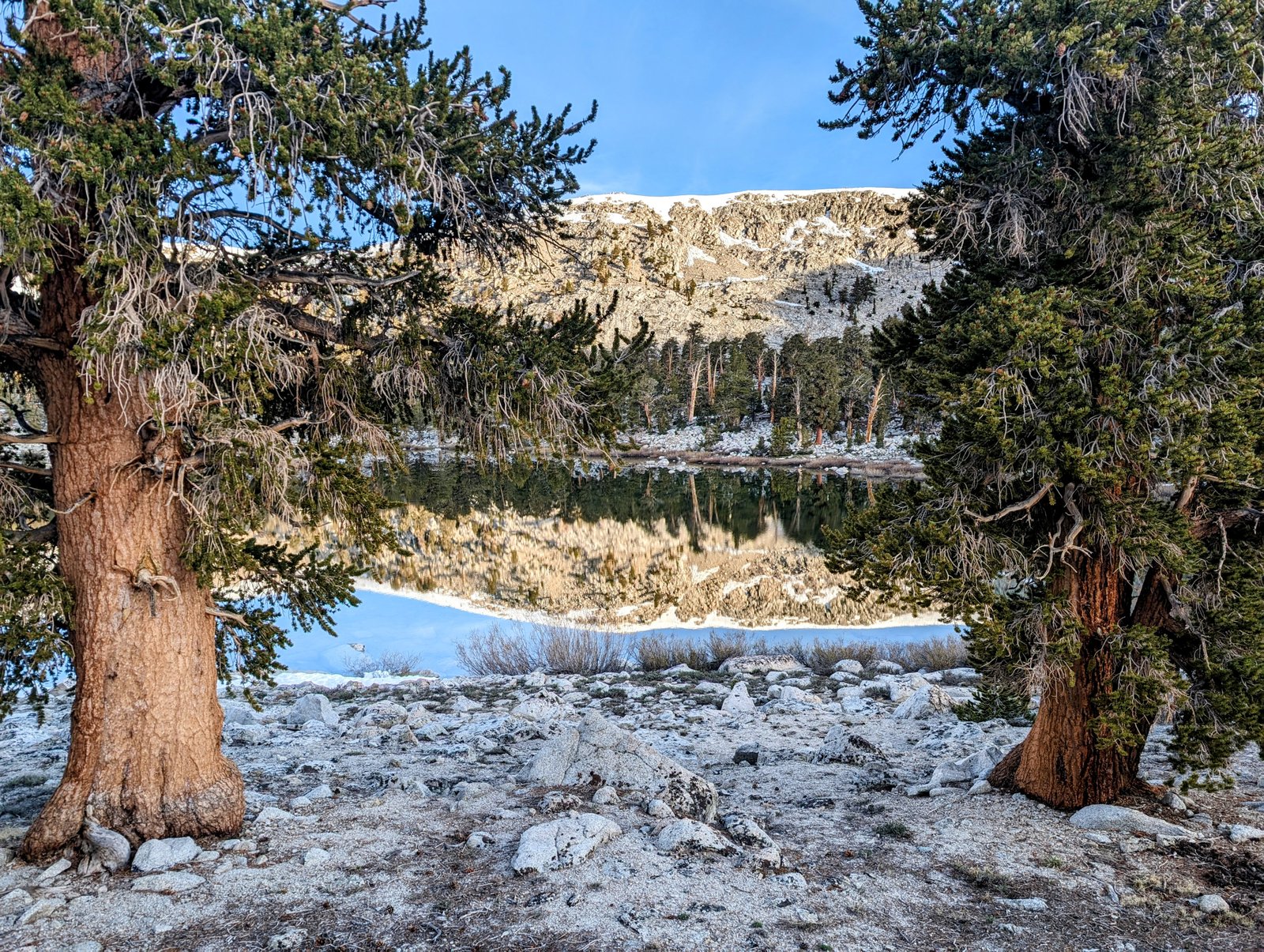
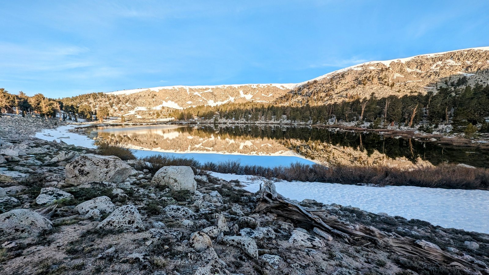
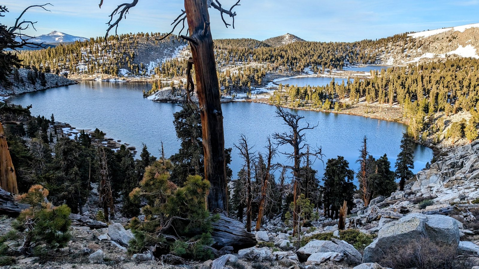
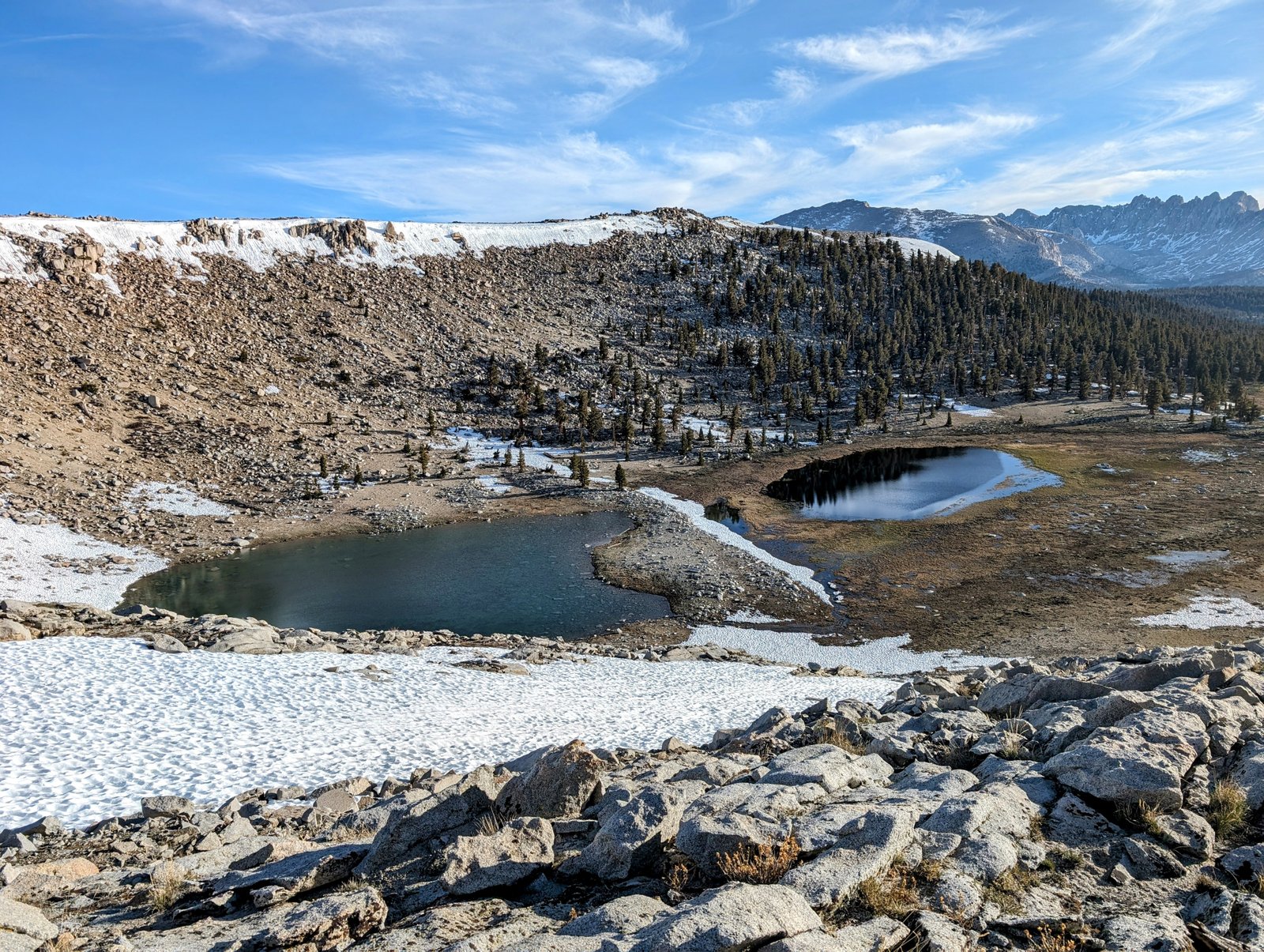
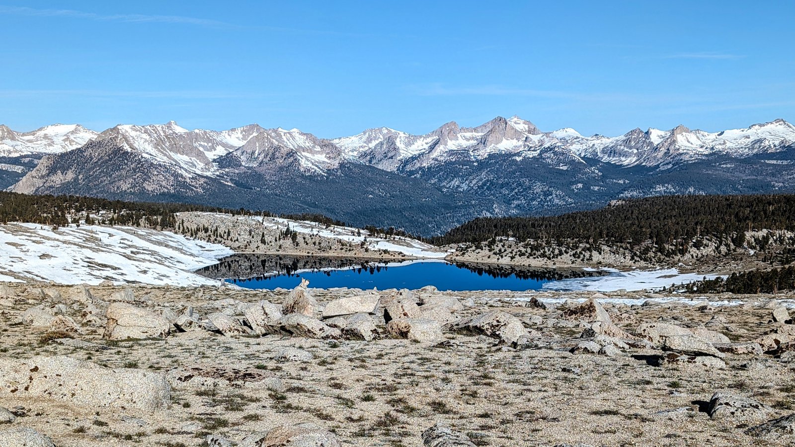
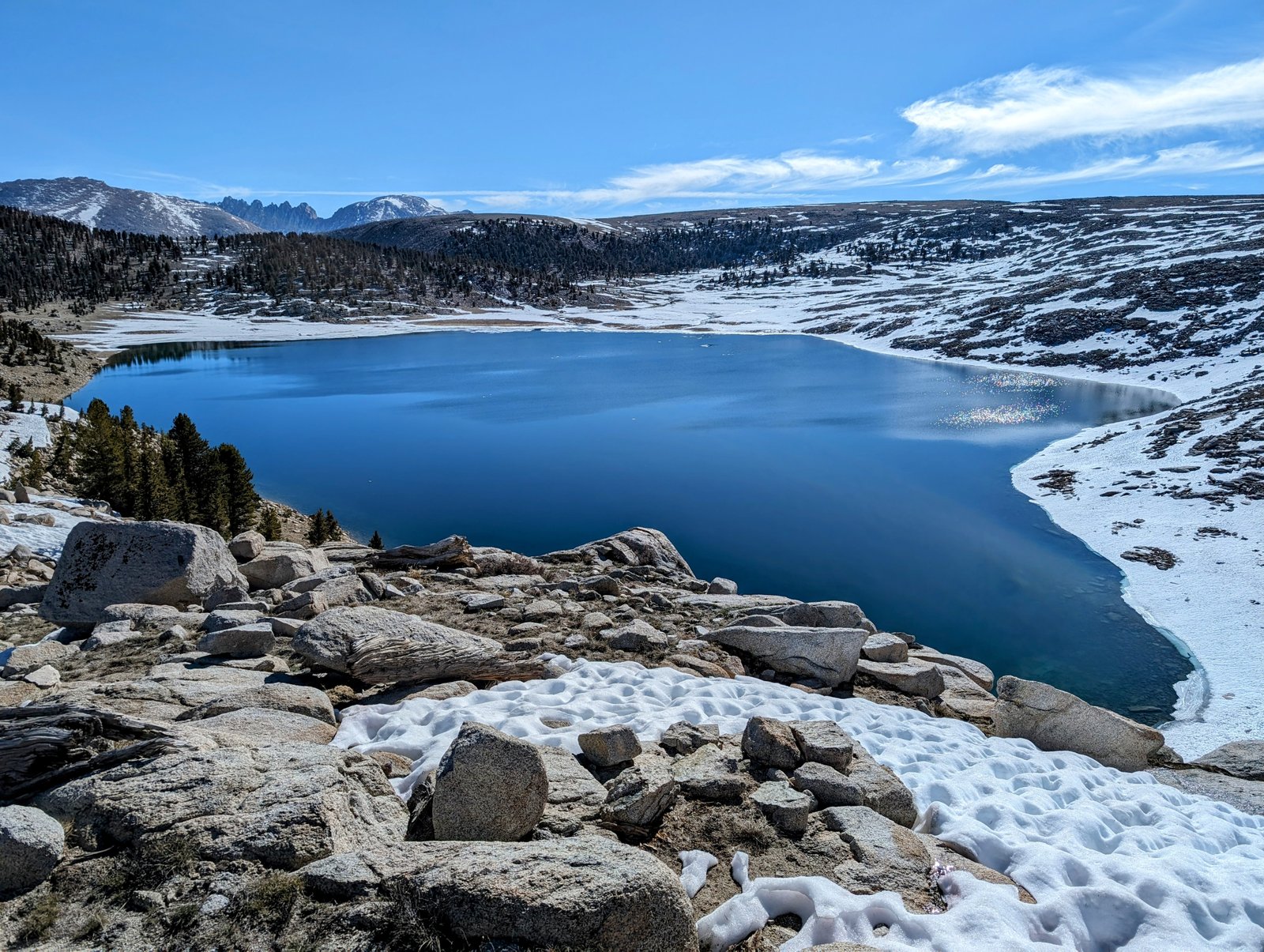
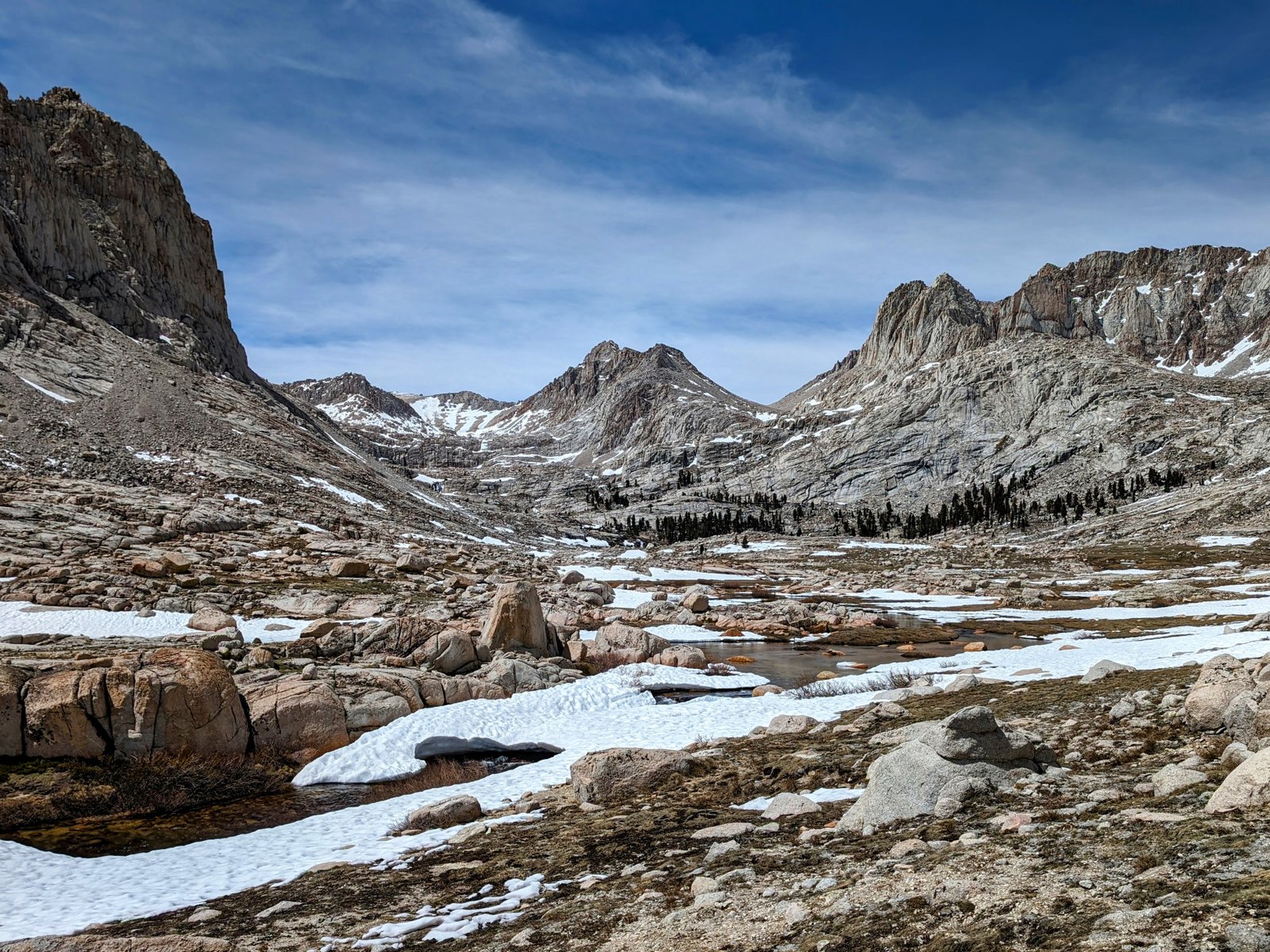
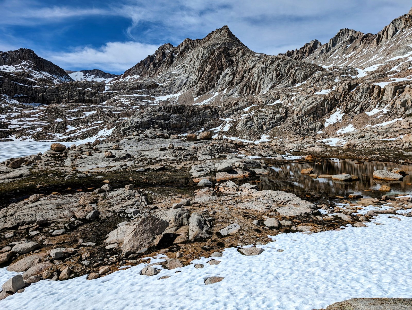
And I got my first glimpse of a lake I planned to circumnavigate.
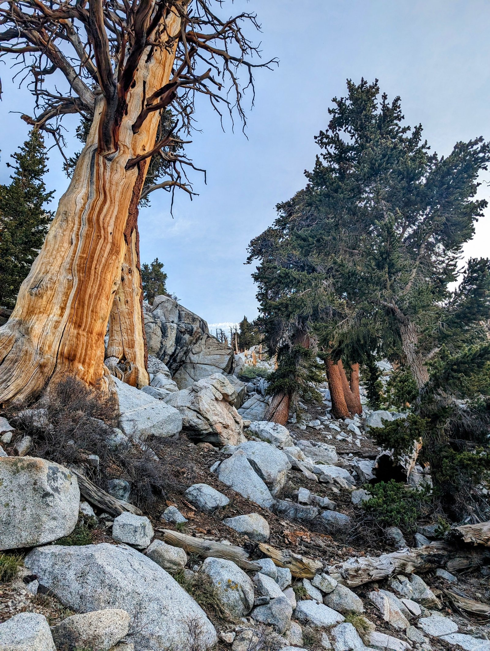
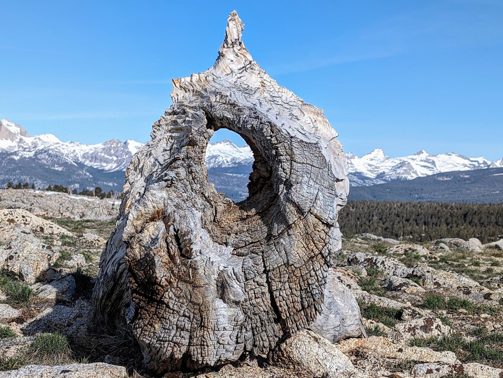
Right on the divide I found a remnant of a trunk that was perfect for framing the snowy mountains.
The Golden Sequoia Divide descends towards Funston Lake, but then veers south. It was here that I departed the divide to head north towards a ridge above the lake.
There were definitely signs of cowboy camps here, most notably an abandoned rusty grill.
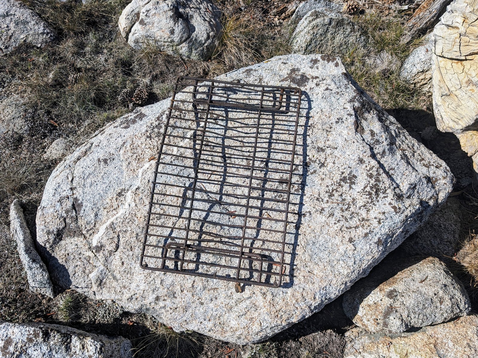
But it was all so beautiful I didn’t mind the cowboy trash.
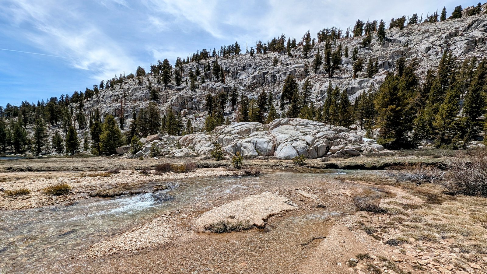
An animal trail helped me figure out where to cross the north side of the lake.
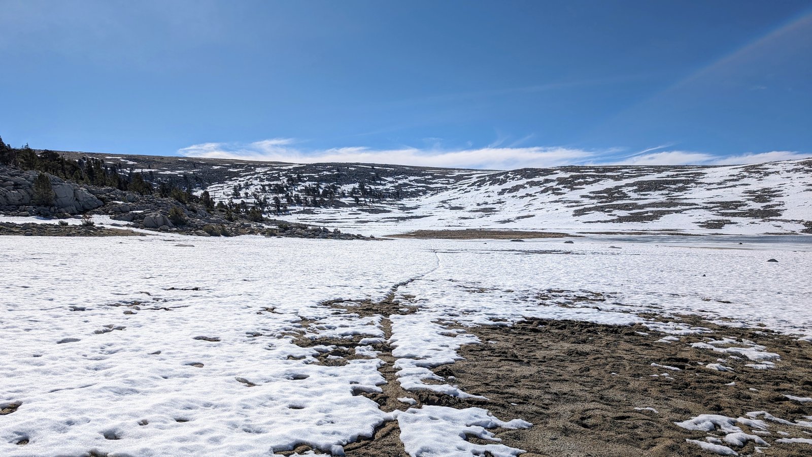
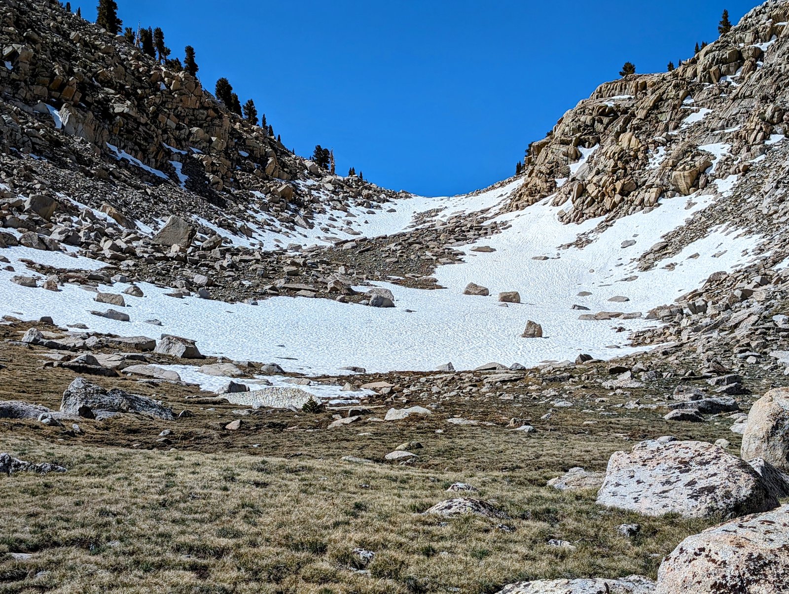
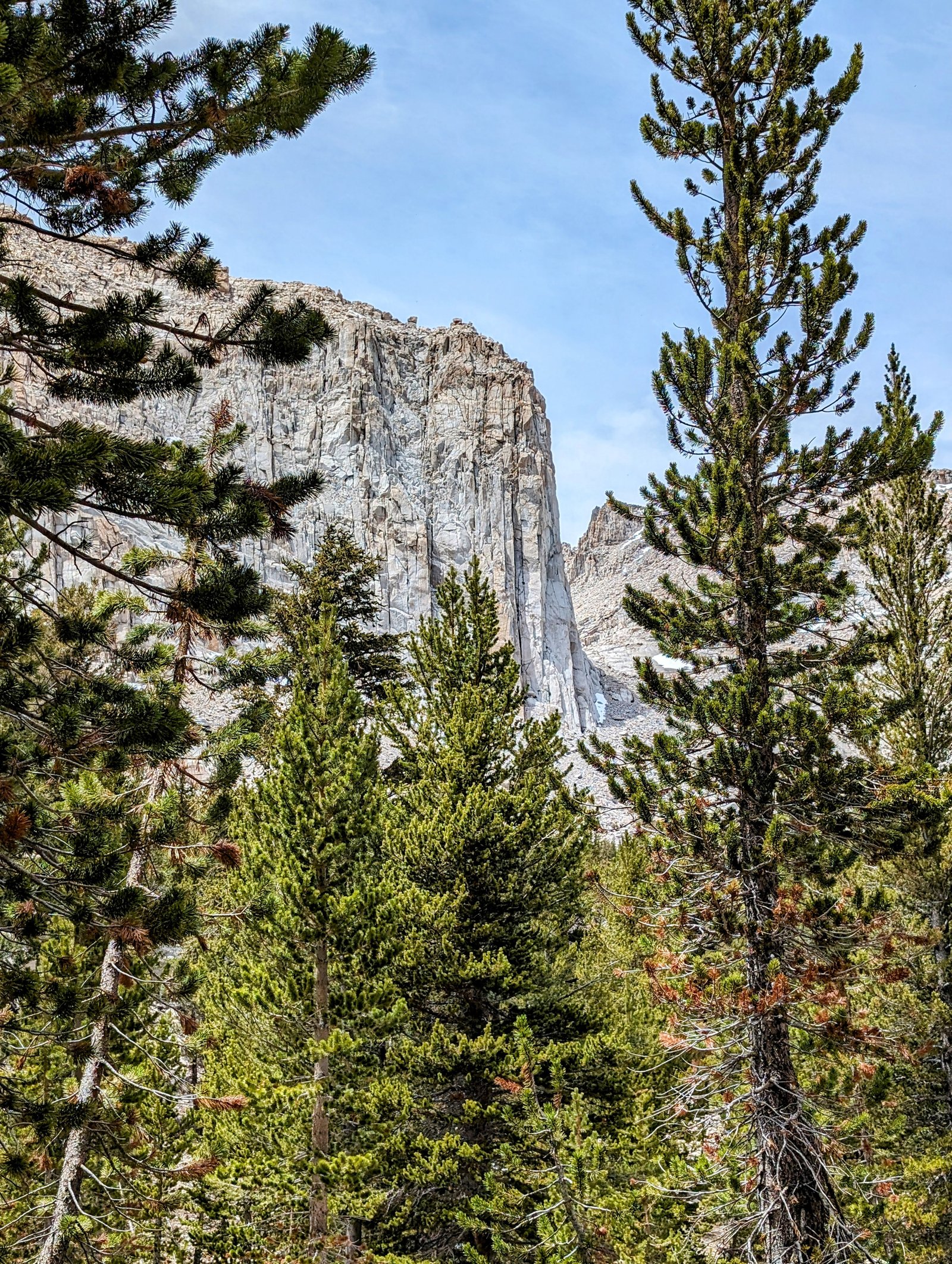
And then I turned north to a saddle that marked the entrance to Forgotten Canyon, a feature on the USGS map that has no trail leading to it.
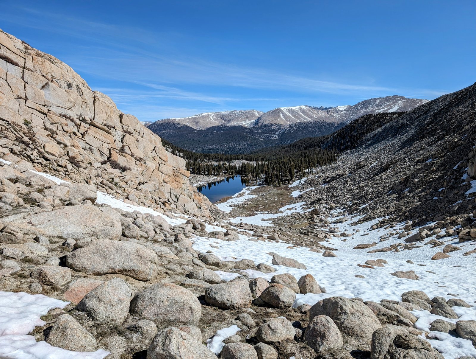
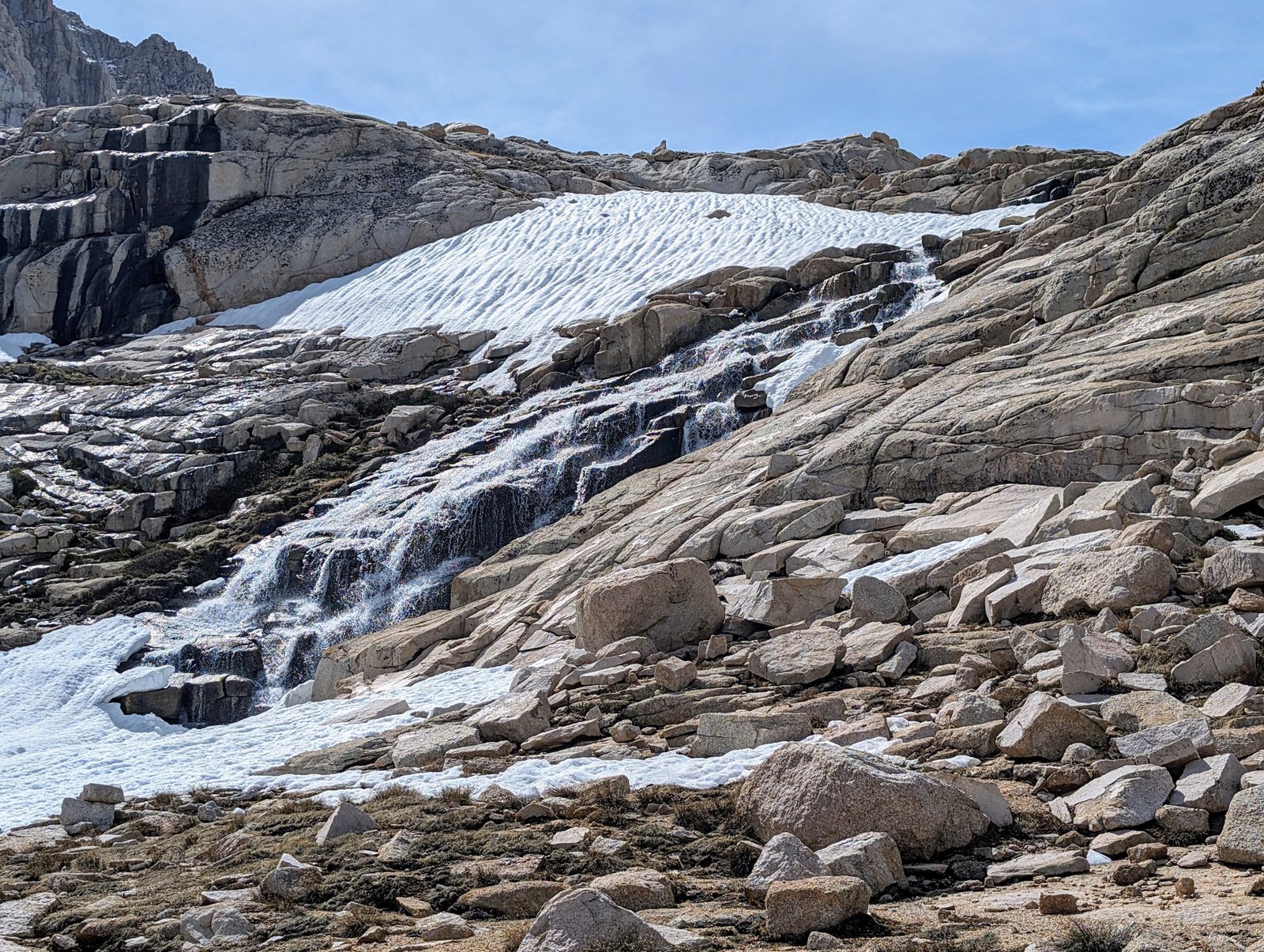
The snow at the top of the pass was steep enough that I put my spikes back on, but the descent was pretty easy.

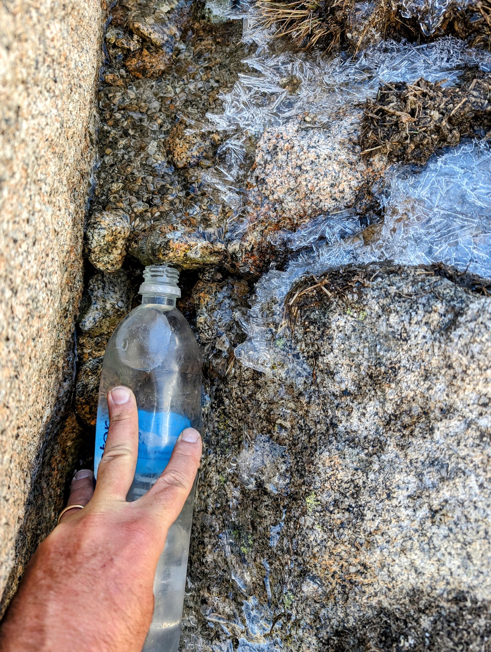
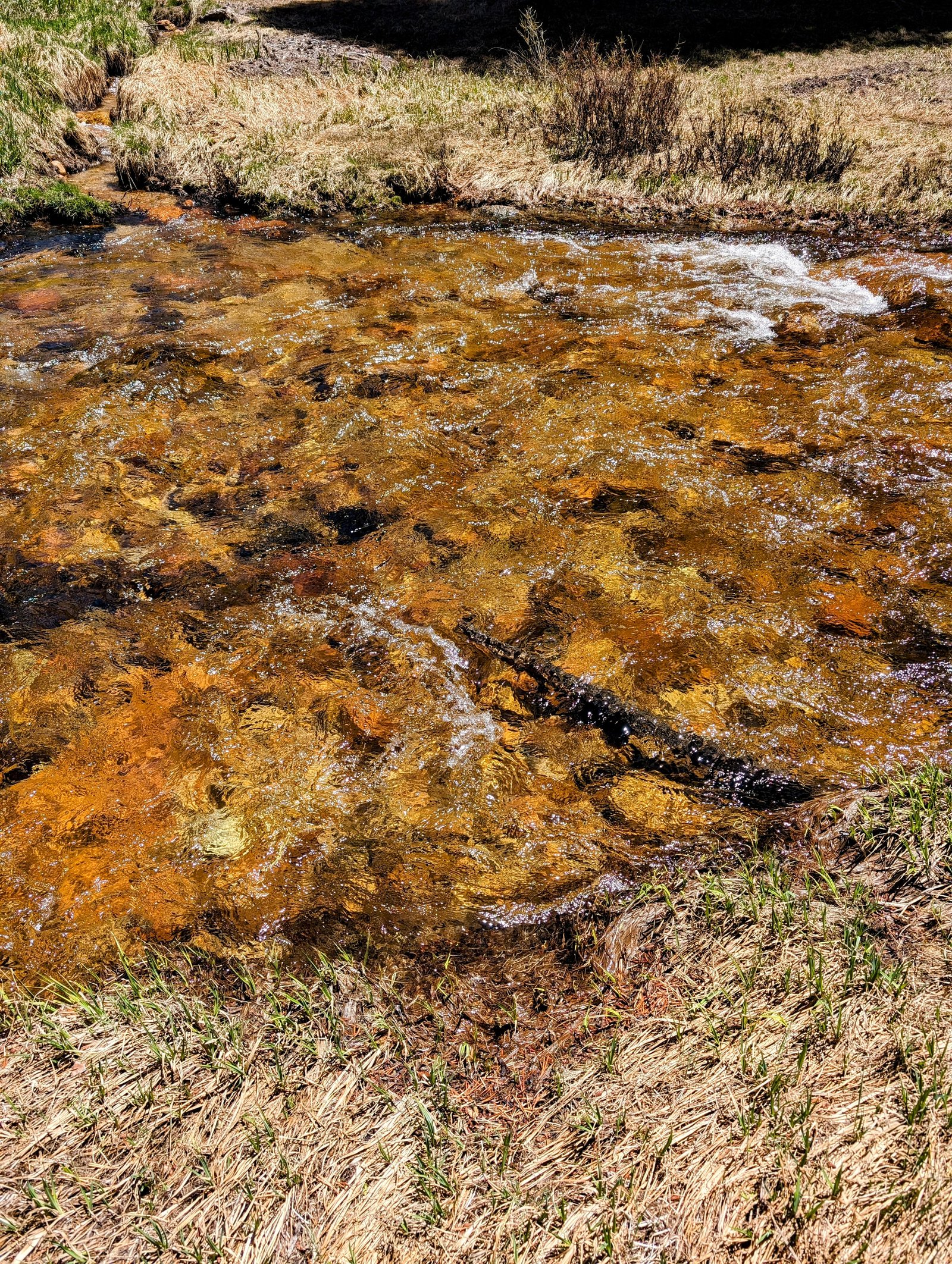
After the snowfield I stopped to get some water. I thought I was getting little pebbles in it, but they were chunks of ice!
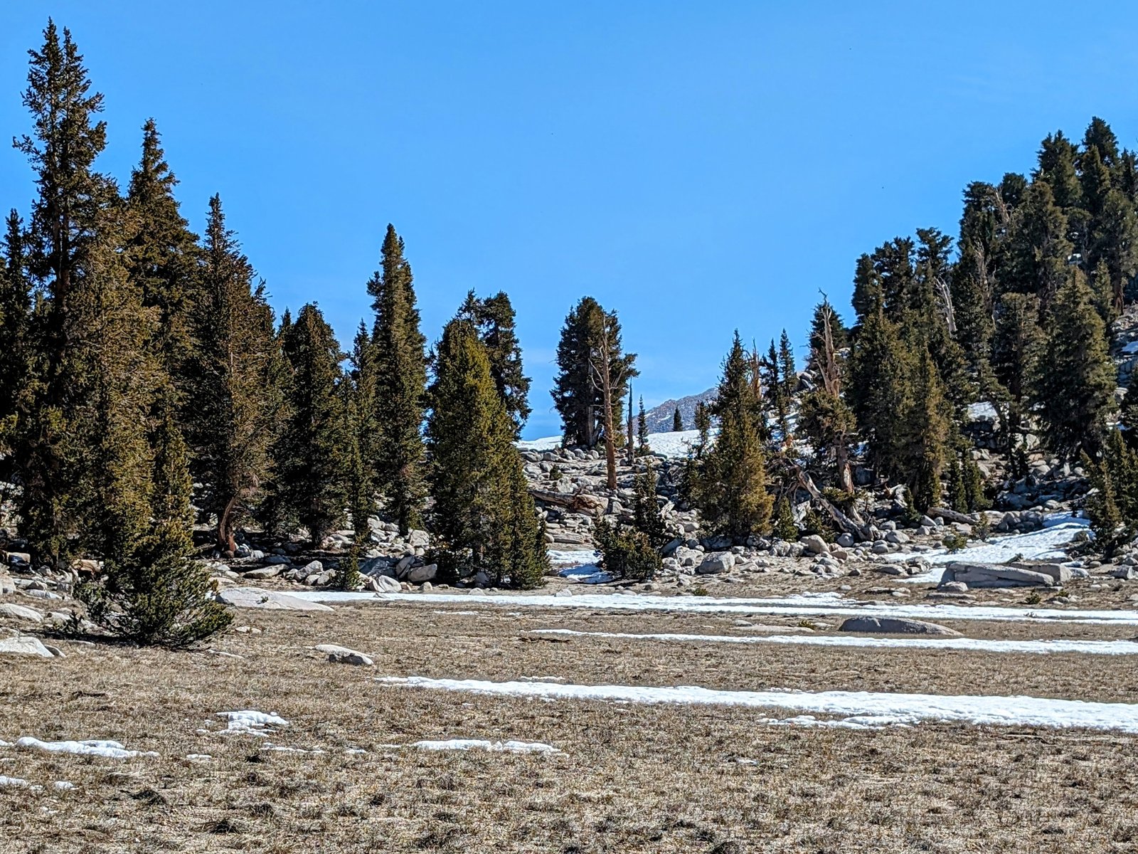
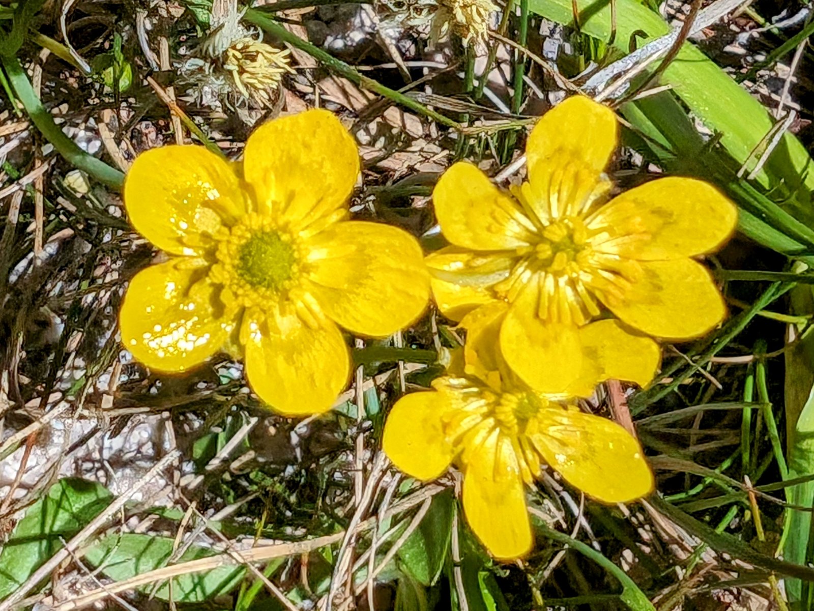
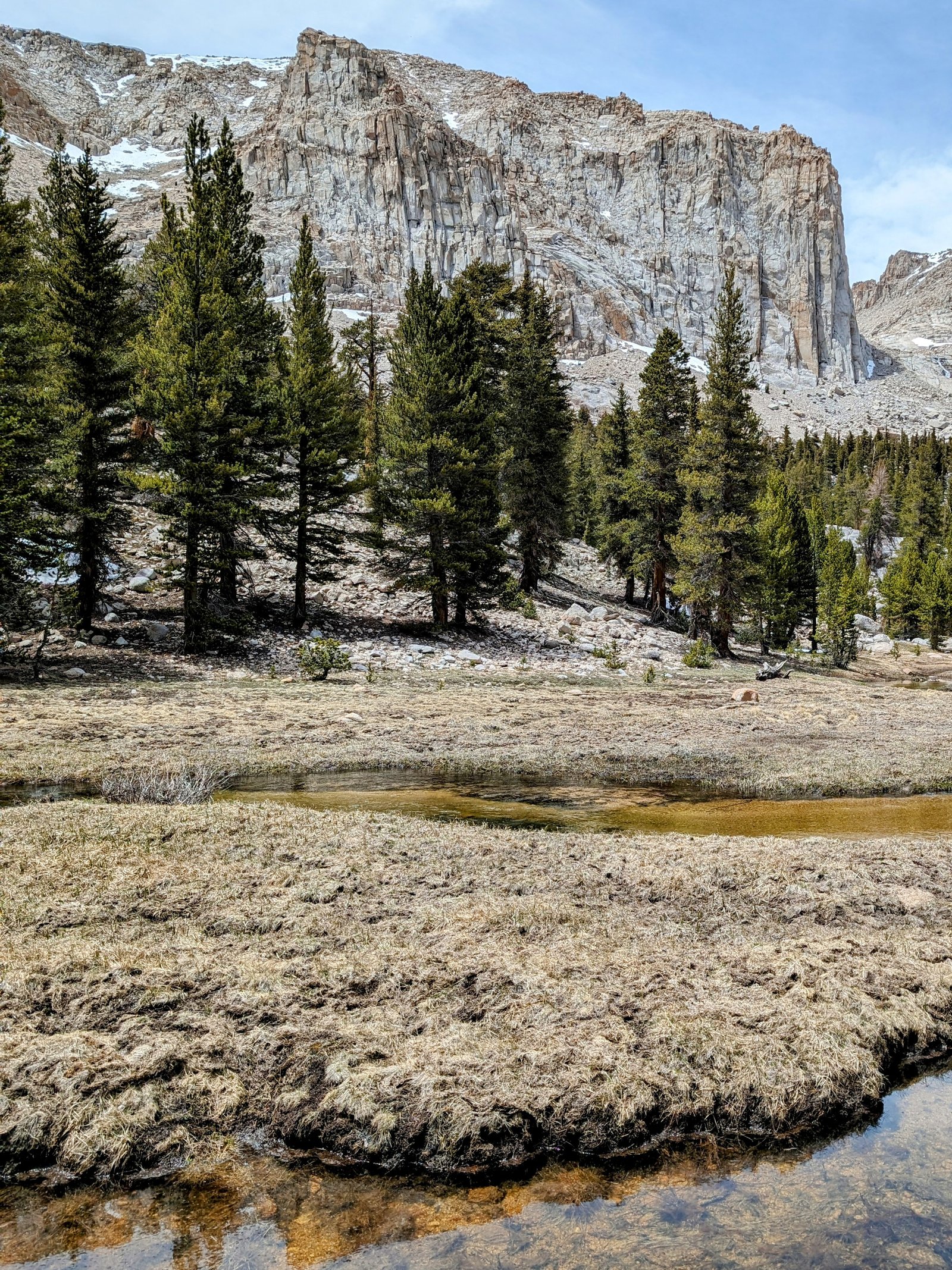
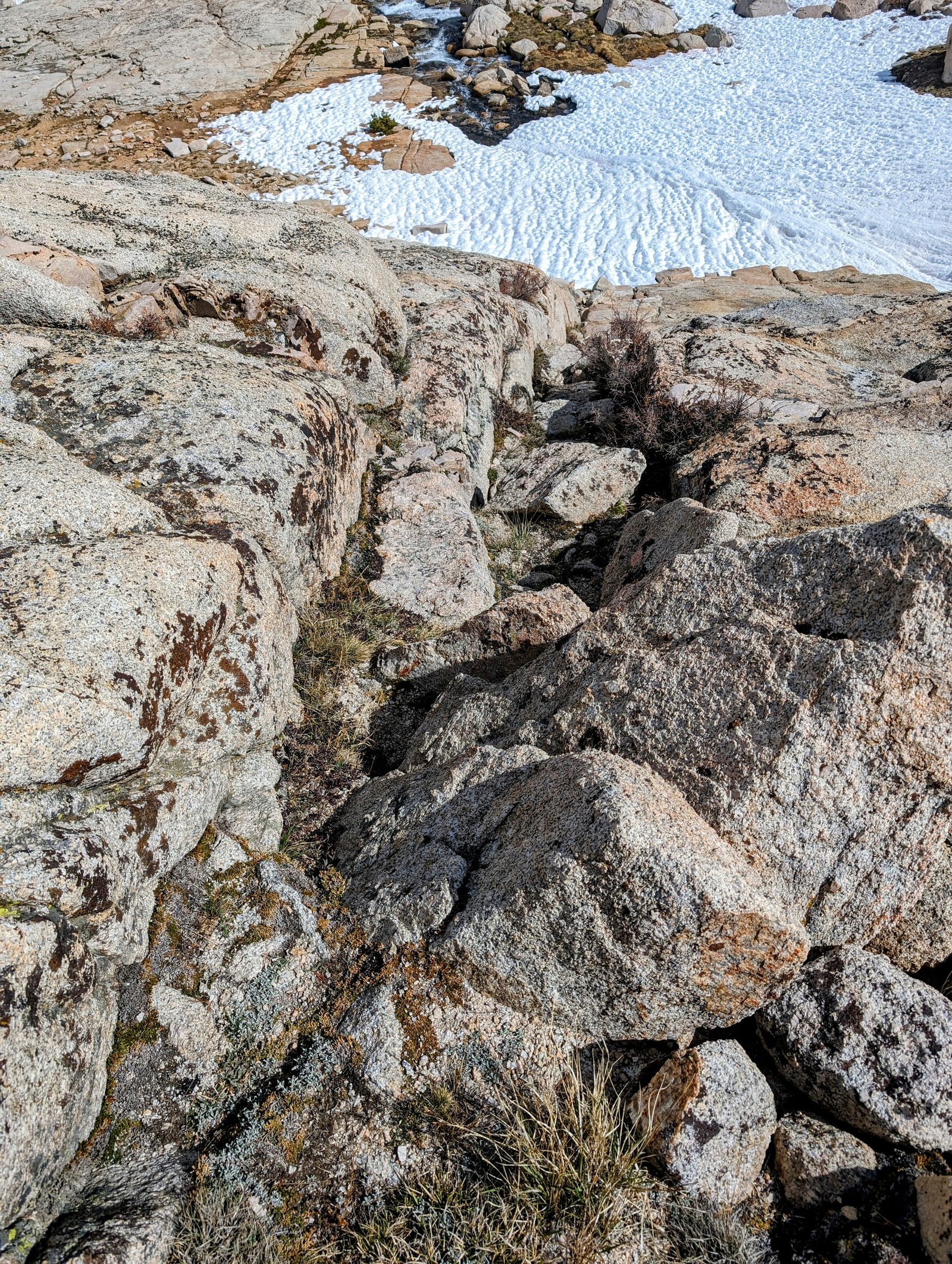
There is no trail here, but it didn’t need one — at least not at first! I followed gorgeous meadows by the creek for the first mile or so.
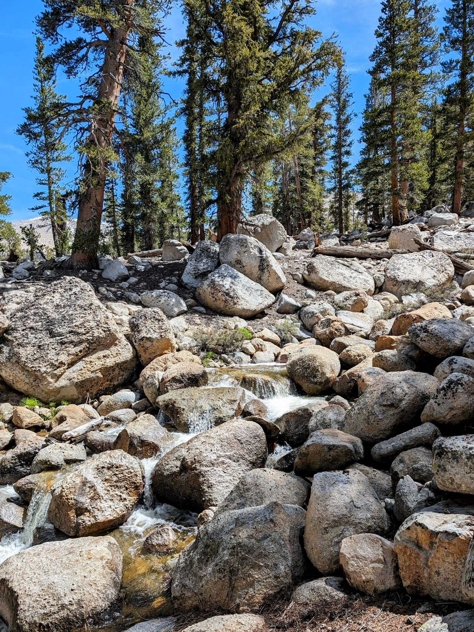
But then the canyon gets steeper and the meadows got swampier, so I followed the canyon down through the trees above the west side of the creek. Aside from occasional blow downs, it was easy to keep a steady pace all the way down to where I crossed the creek again at 10,100 feet.
What came next was not so easy.
With hindsight, I wish I had climbed back up to a broad bench on the topo map at 10,200 feet that would have taken me right to the PCT.
Instead, I traversed down to the PCT at 9,600 feet. It was steep and I encountered several boulder fields that made me say aloud “so this is why they call it Rock Creek!”
But eventually I made it down to the PCT. I took a long break for my cold-soaked ramen lunch, and counted the thru-hikers. There must be a good window now for entering the Sierra because I counted a dozen in half an hour.
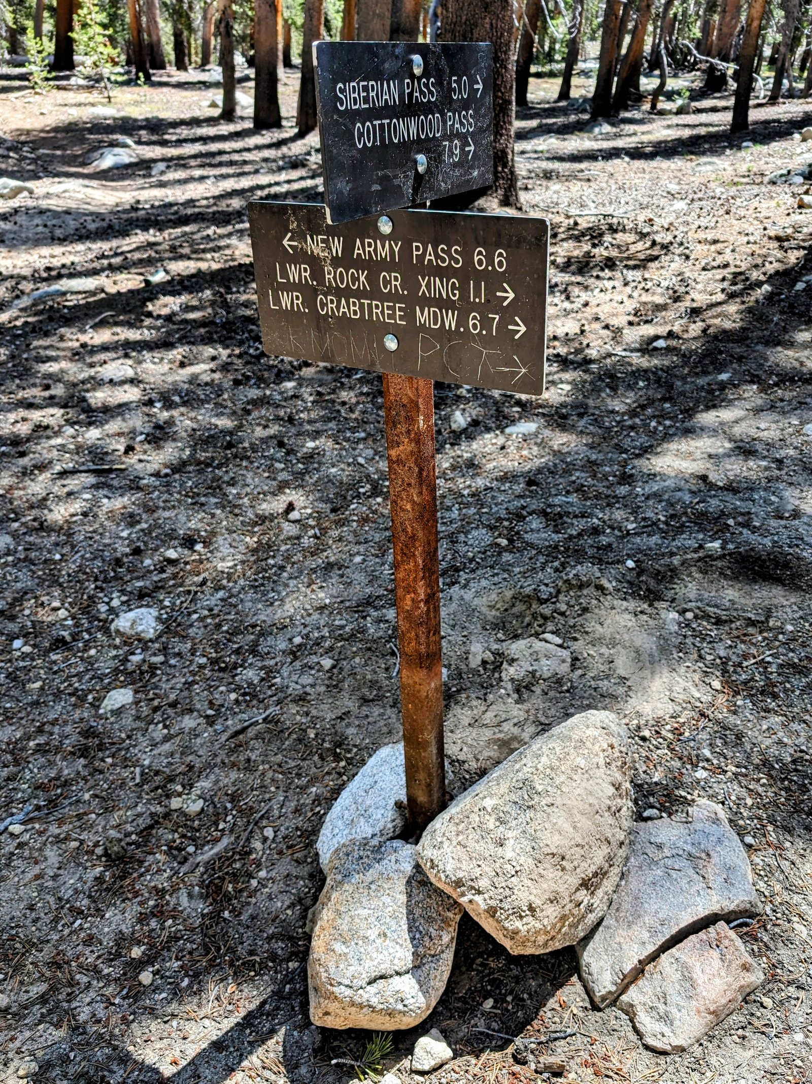
I then headed back up to the PCT to its intersection with the Rock Creek Trail.
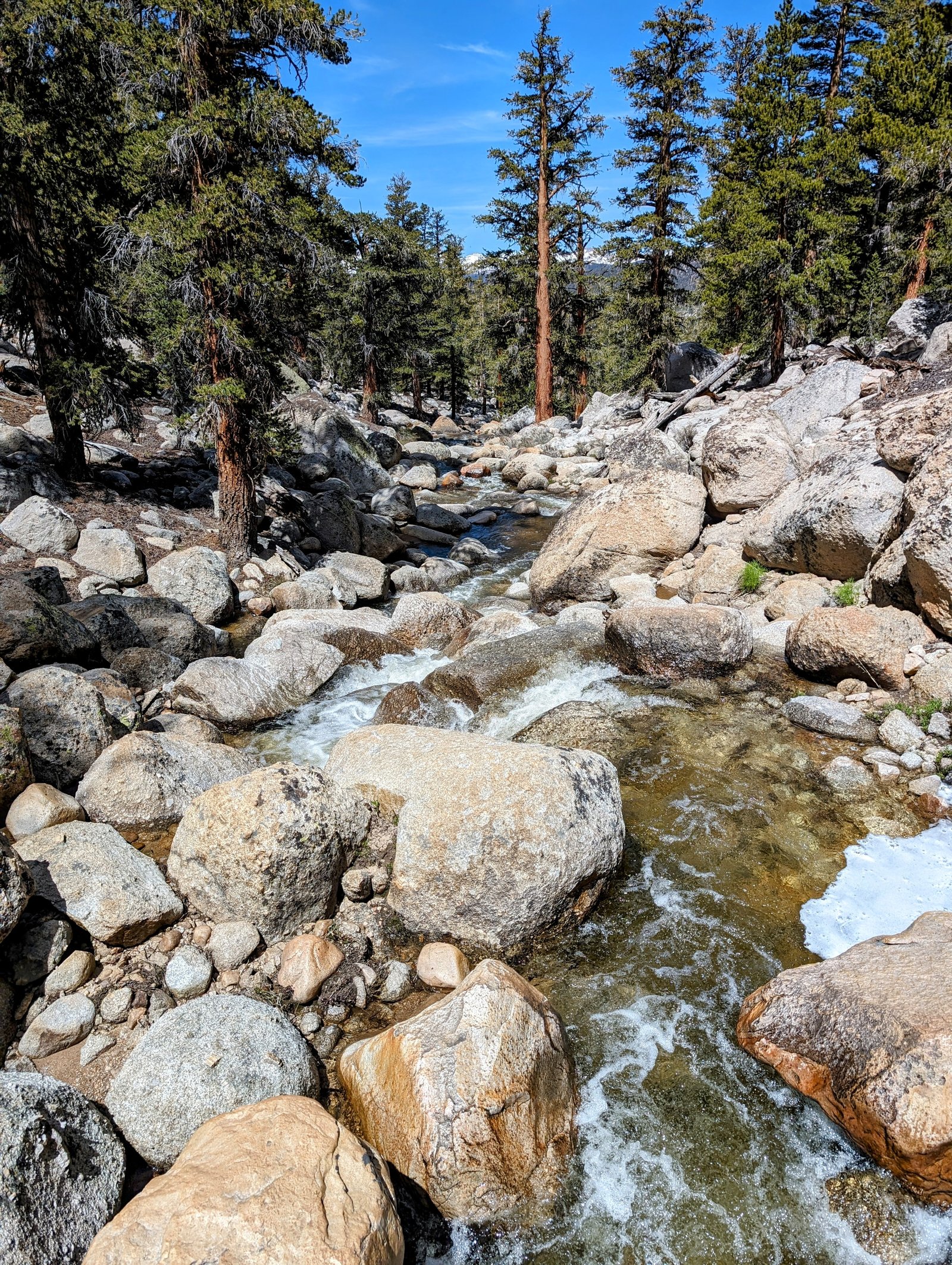
I grew a love-hate relationship with Rock Creek. It was gorgeous and full of late spring energy. But the trail crosses it several times. I bet it’s a rock hop most of the time, but not right now!
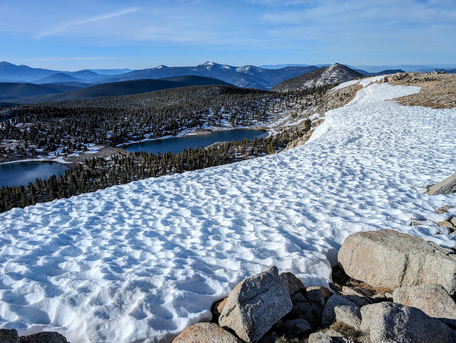
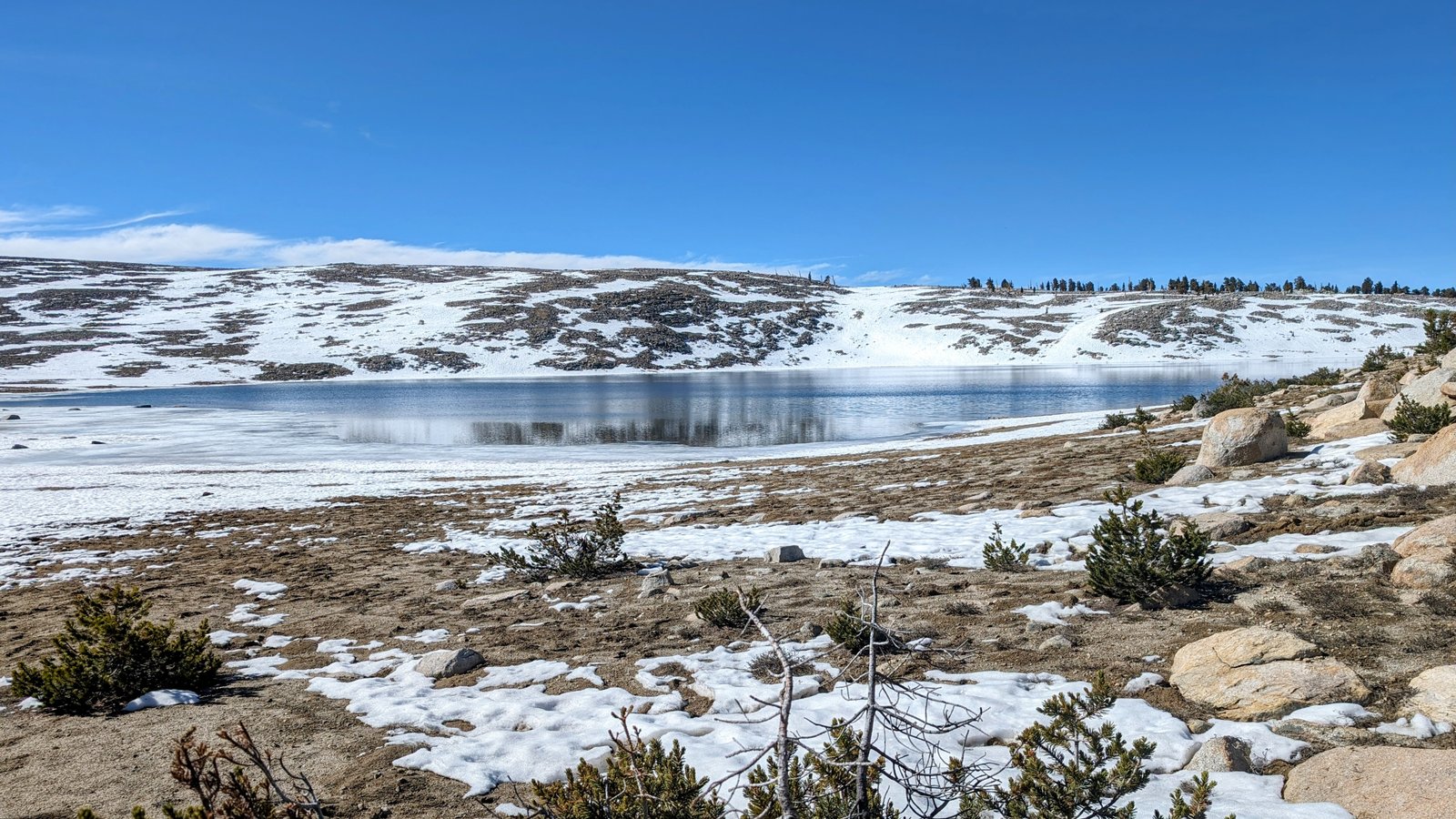
I took another break at the bearbox near a lake in the meadow at 10,440 feet.
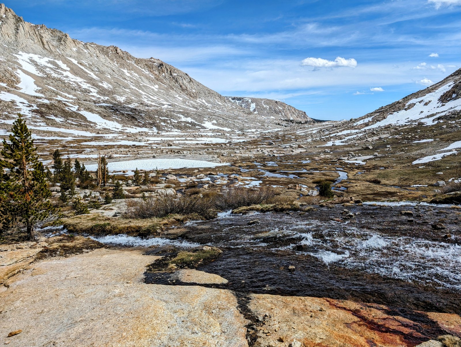
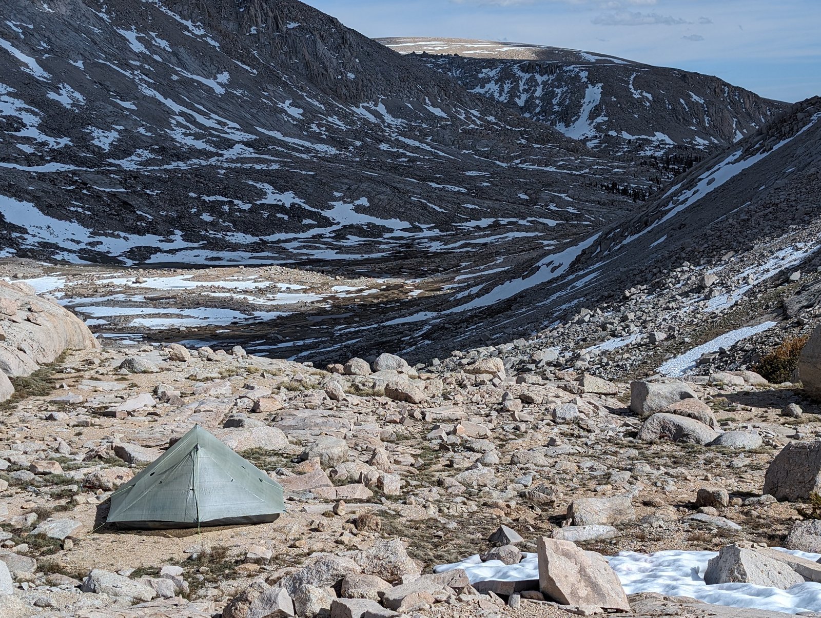
At the turnoff to Soldier Lake I continued following Rock Creek up towards Miter Basin. It was a bit frustrating because the trail is not well-defined and I spent a lot of time dodging swamps and snow fields. It was very pretty but it felt like a lot of work.
And then.
It was totally worth it.
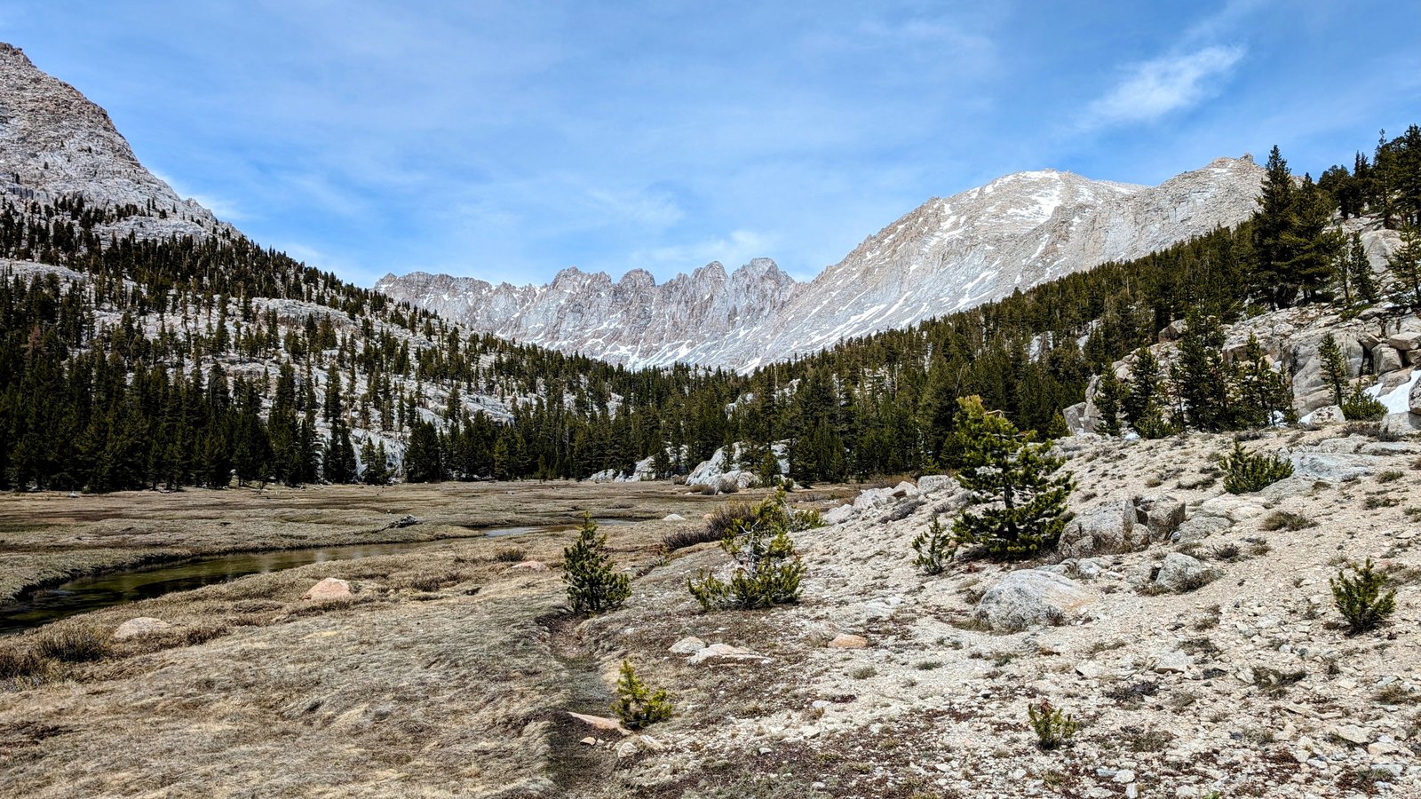
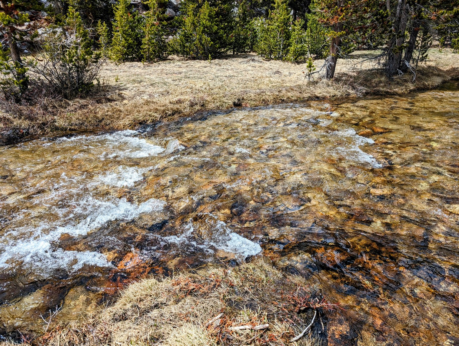
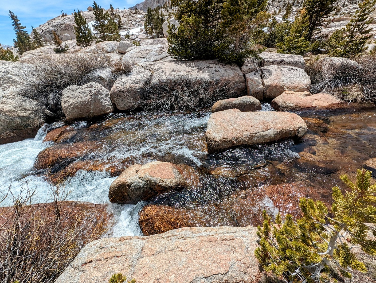
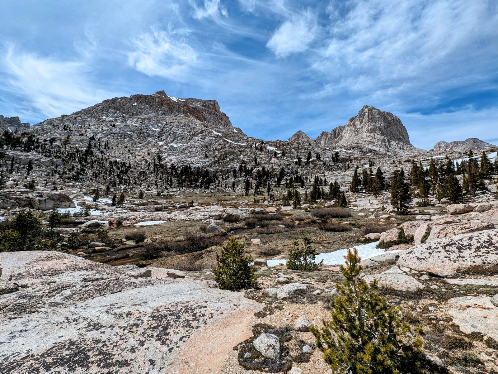
I won’t lie. All this melting snow makes travel very annoying. The trail was completely underwater, so I spent a lot of time plotting how to keep my feet out of slushy snow, running rivulets, and swollen swamps. I ended up keeping a wide arc at about 11,200 feet all the way around the eastern side of the basin.
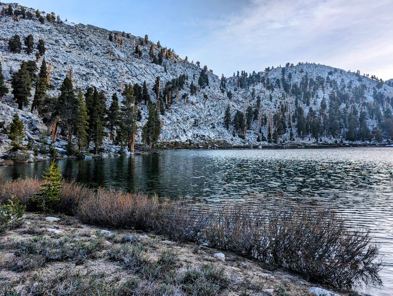
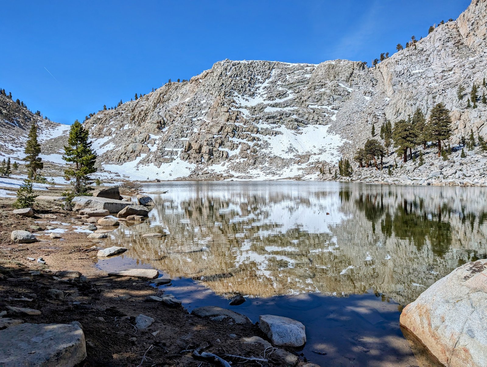
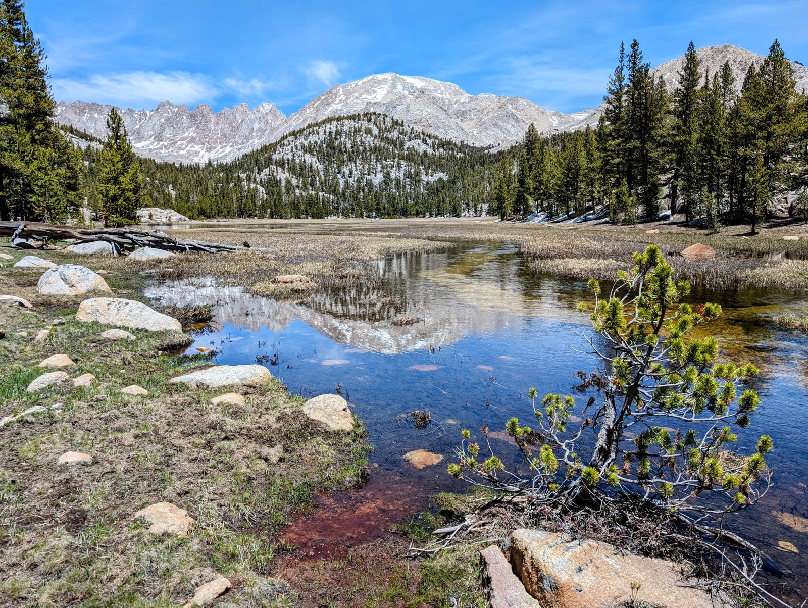
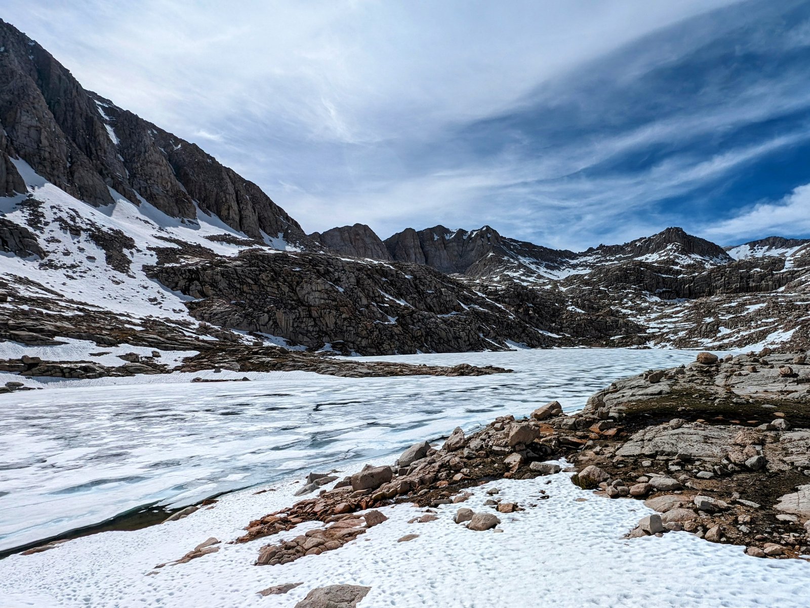
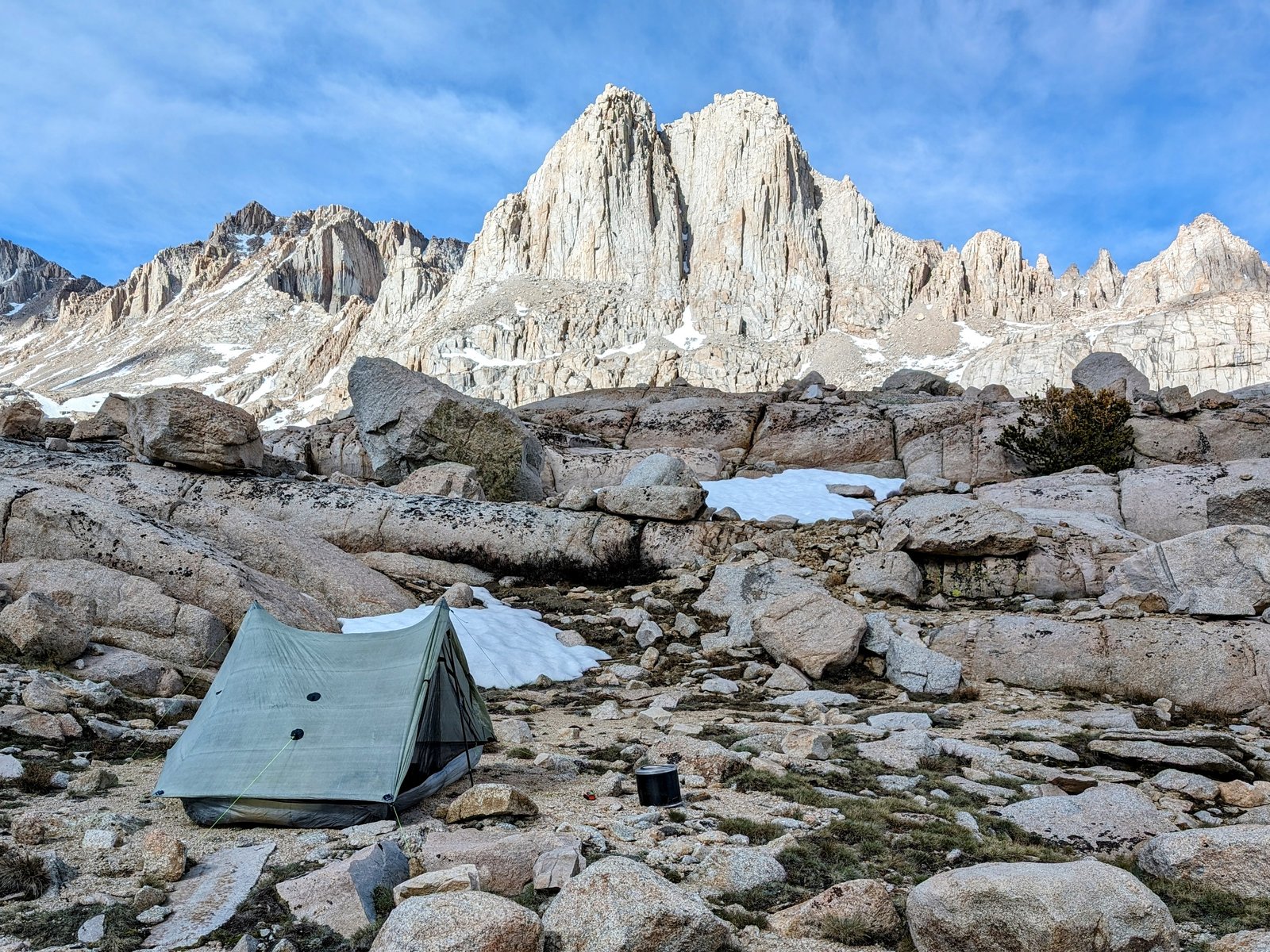
Slowly I made it to the granite slabs below Sky Blue Lake.
The normal route to the lake goes up the left side of Rock Creek, but a steep snowfield blocked that path. I climbed the granite slabs to the right. At first I had a hard time figuring out the route, but soon I found a crack that had a tough entry point but was easy to follow up after that.
I was hoping the lake would be at least partially open. And I was not disappointed!
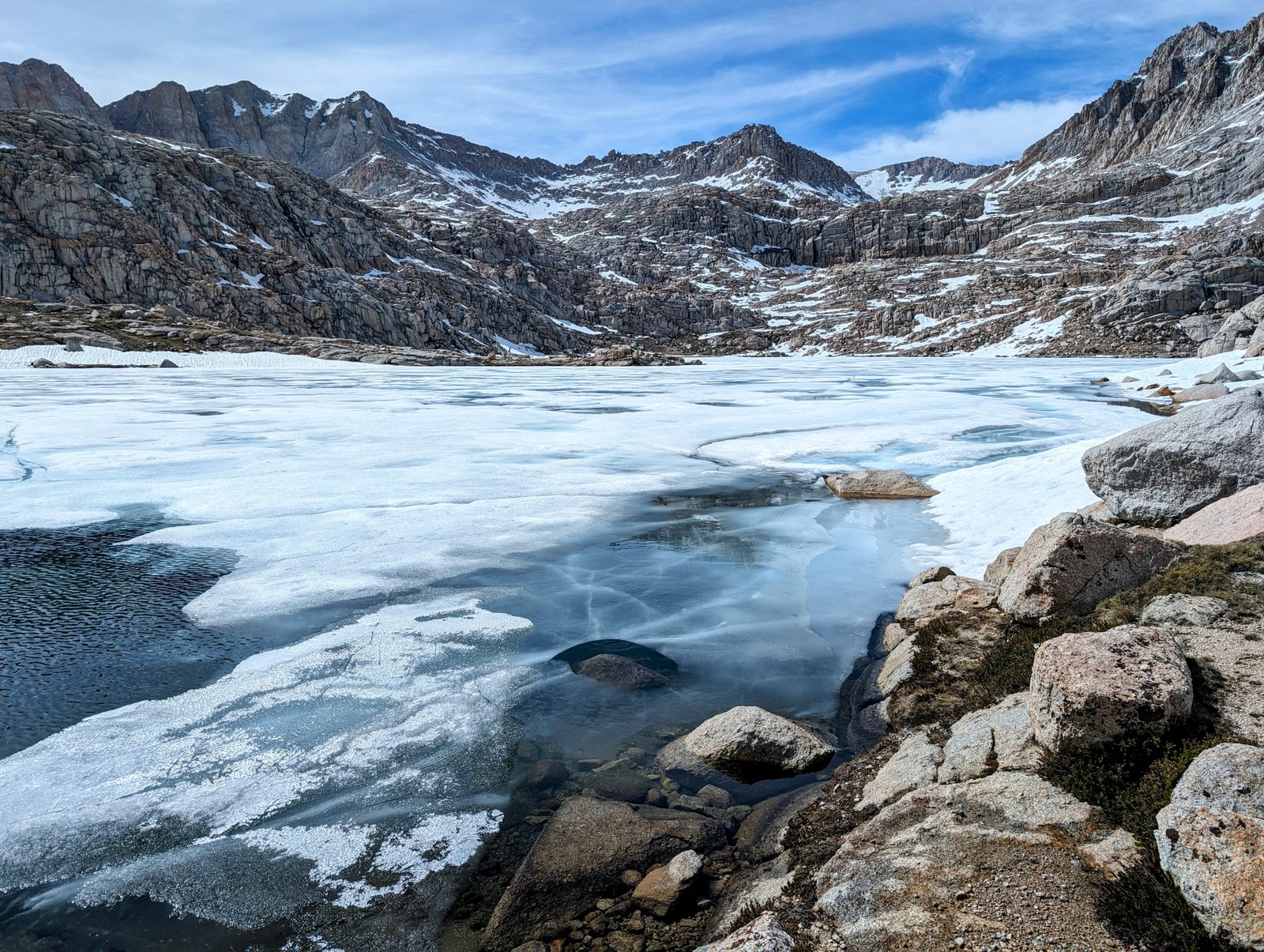
After wandering around bewildered by the beauty, I decided to make camp early in one of the most stunning settings I have ever put up my tent.
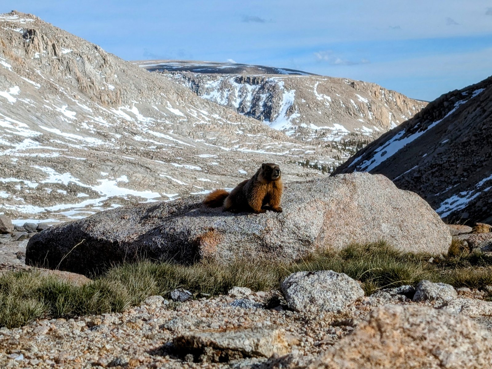
I was exhausted and so crawled into my tent early. As I laid there, two Marmots decided to fight for a rock with a view.
Surprisingly, I stayed awake until sunset.