3 June 2024
Miter Basin to Soldier Lake Trail to Mount Langley Trail to the Cirque-Trailmaster Ridge to Horseshoe Meadow
(13 miles, +2,200/-3,900 feet).
I’d like to say that I enjoyed my stunning campsite last night. But I had a great deal of trouble sleeping. I was worried about getting back down the granite slabs and I also just felt extremely remote and alone, having not seen anyone since the PCT. I was also worried about the wind and the cold.
But all my fears were dumb. The wind abated, the night was warm, and getting back down was trivial.
I really need to work on my psychology when I am alone on these trips.
I decided to start packing at first light.
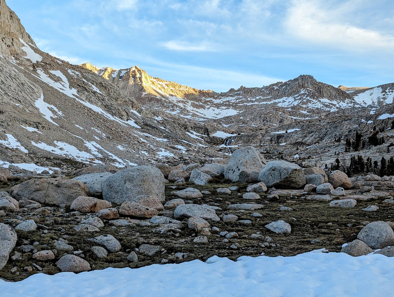
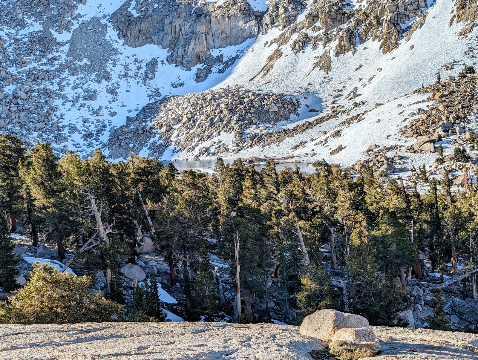
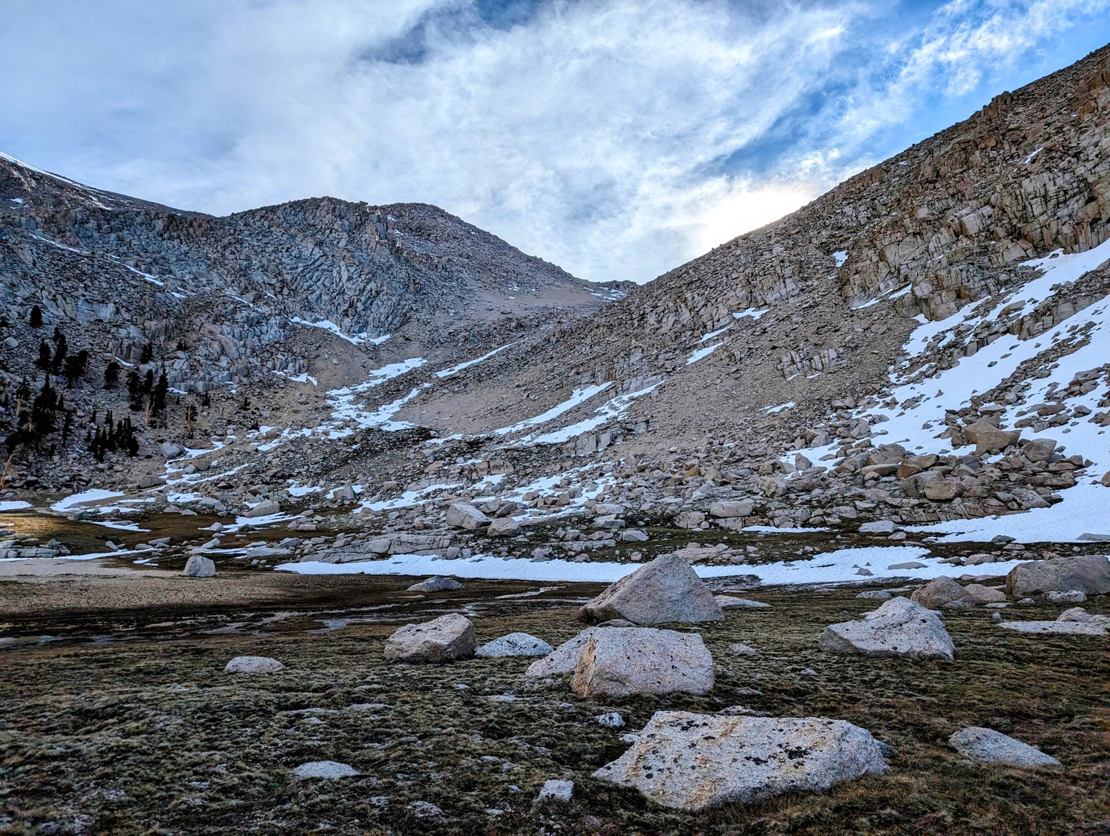
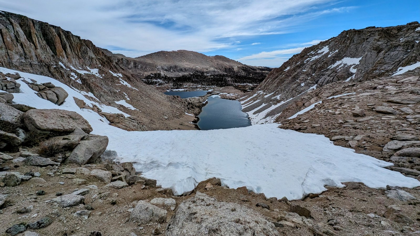
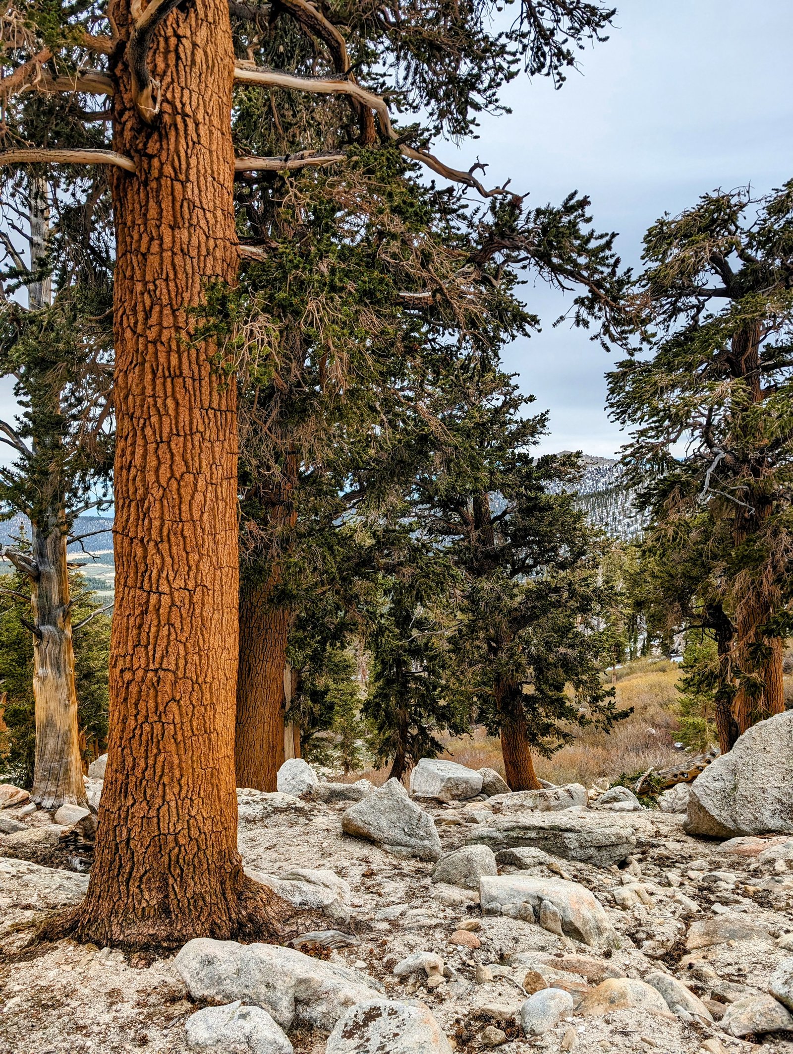
After breaking down my tent I climbed the rocks behind me to get one last glimpse of the lake.
I then started my descent. I never found the part I worried about last night. I blew down the slabs and they were done before I could even identify the imaginary crux that had filled me with dread.
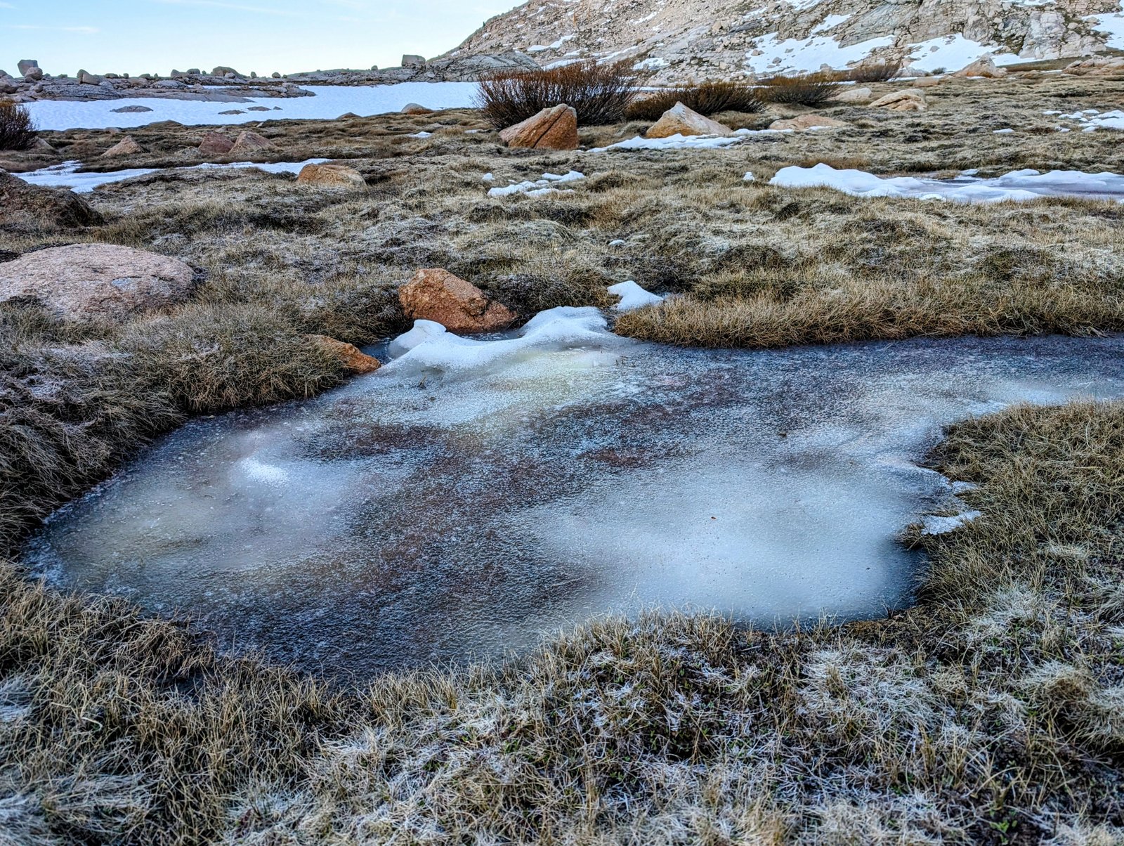
I also worried a bit about the tedium of keeping my feet dry. But an extremely hard frost (freeze?) on the basin floor overnight turned the swamps and snow fields to ice. It was both beautiful and luxurious to stroll on the crunchy meadows.
My first goal after Miter Basin this morning was to make a bench that would take me to Upper Soldier Lake. On Caltopo the route for this is a straight line through a pretty steep ridge, which I am sure is wrong. I made the mistake of ascending early, when I should have ascended late, further down the basin.
But it was fine. I ended up about 100 feet higher than I should have but the travel was no more difficult than it was in the basin.
When I got to the main tributary of Rock Creek along the route, it was filled with a steep snowfield that forced me to descend back down to 11200 feet.
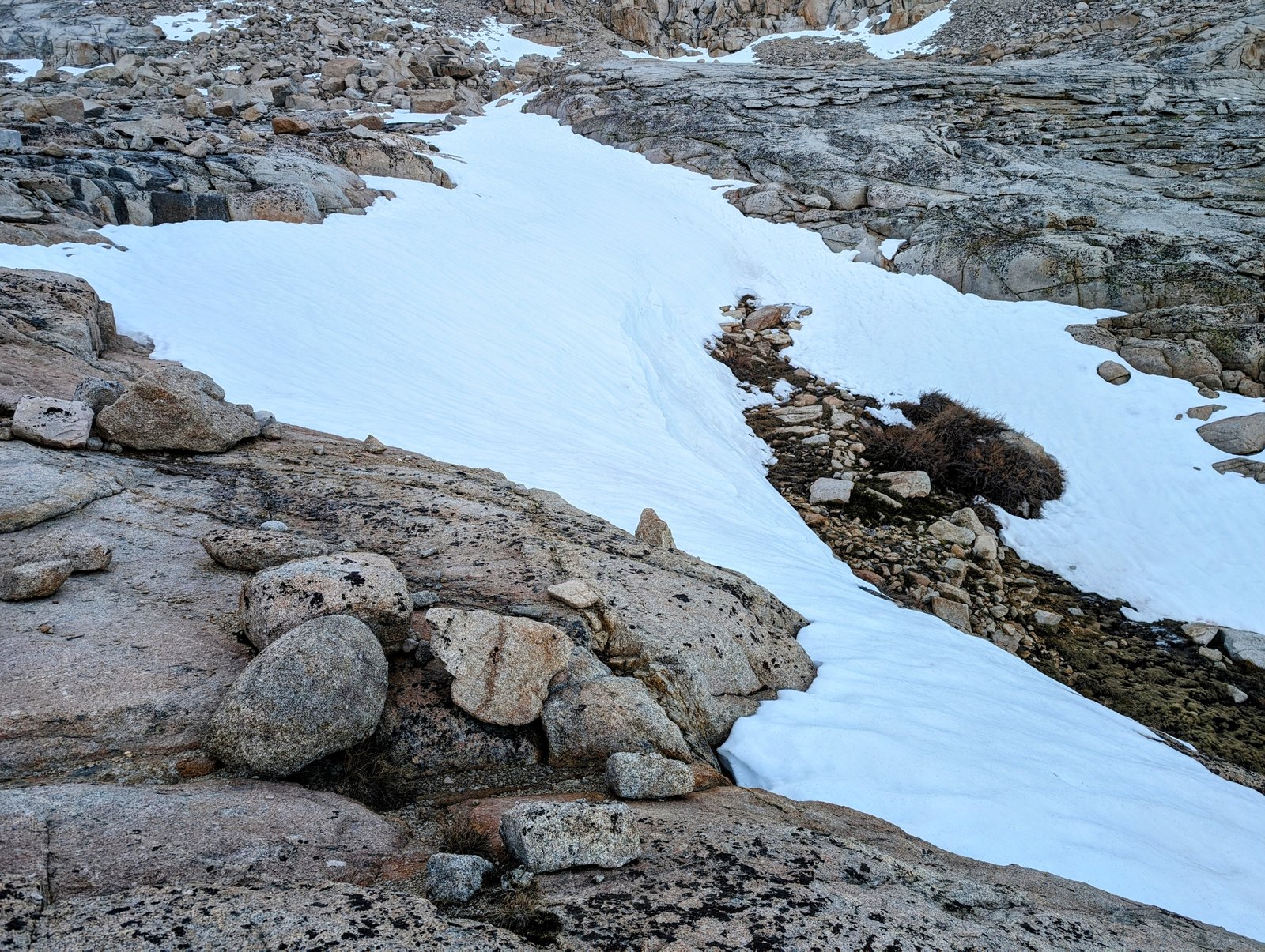
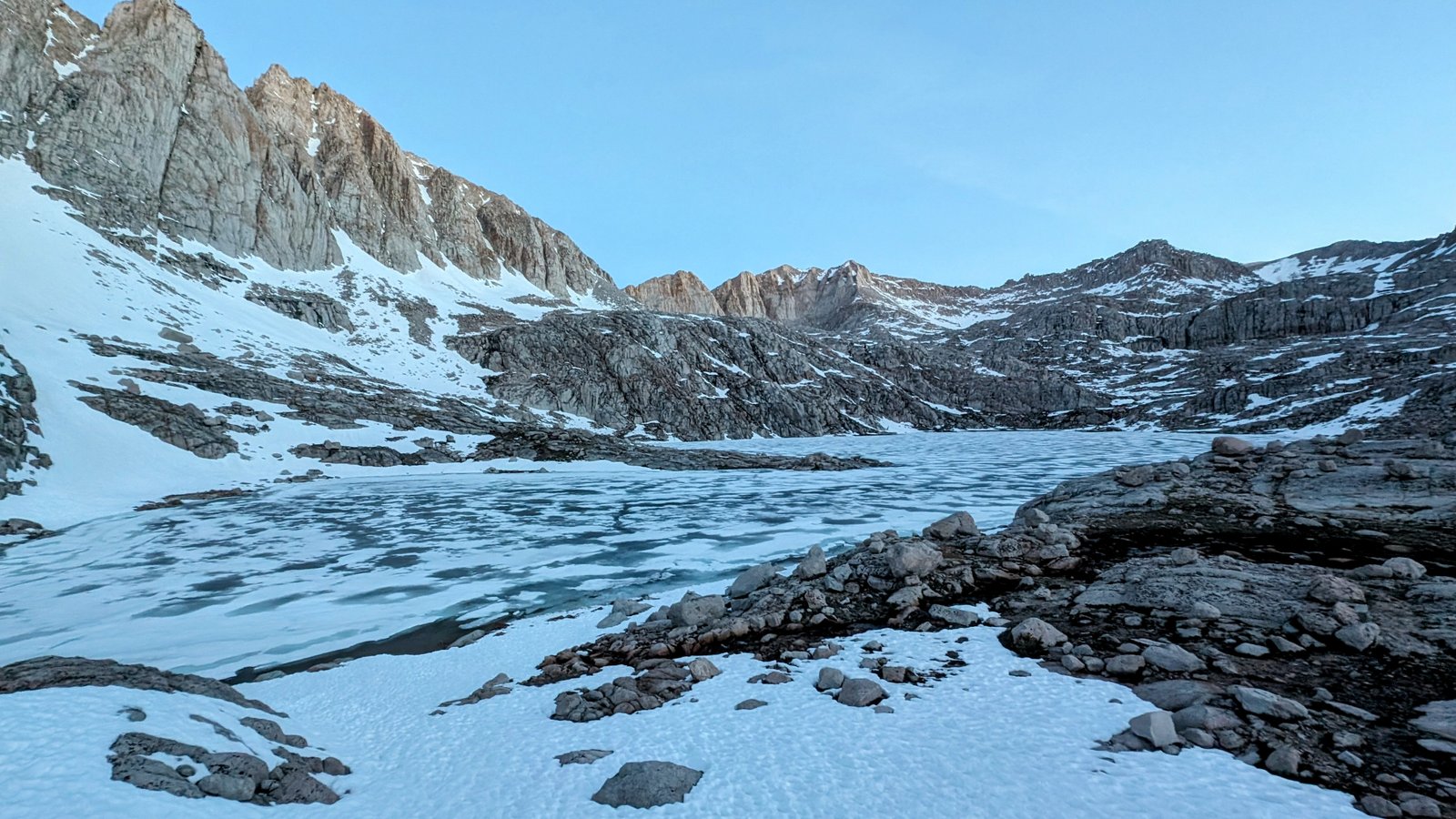
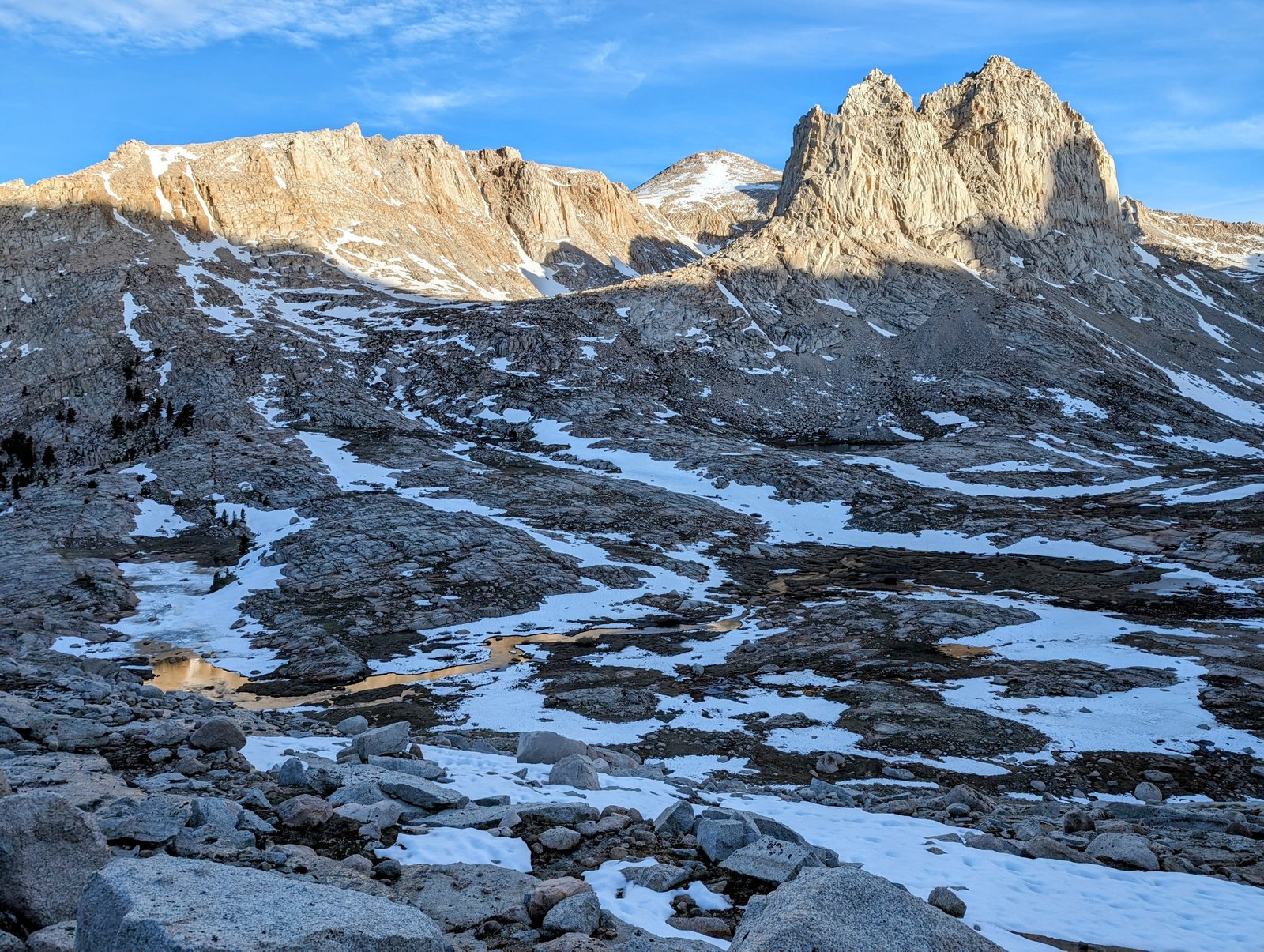
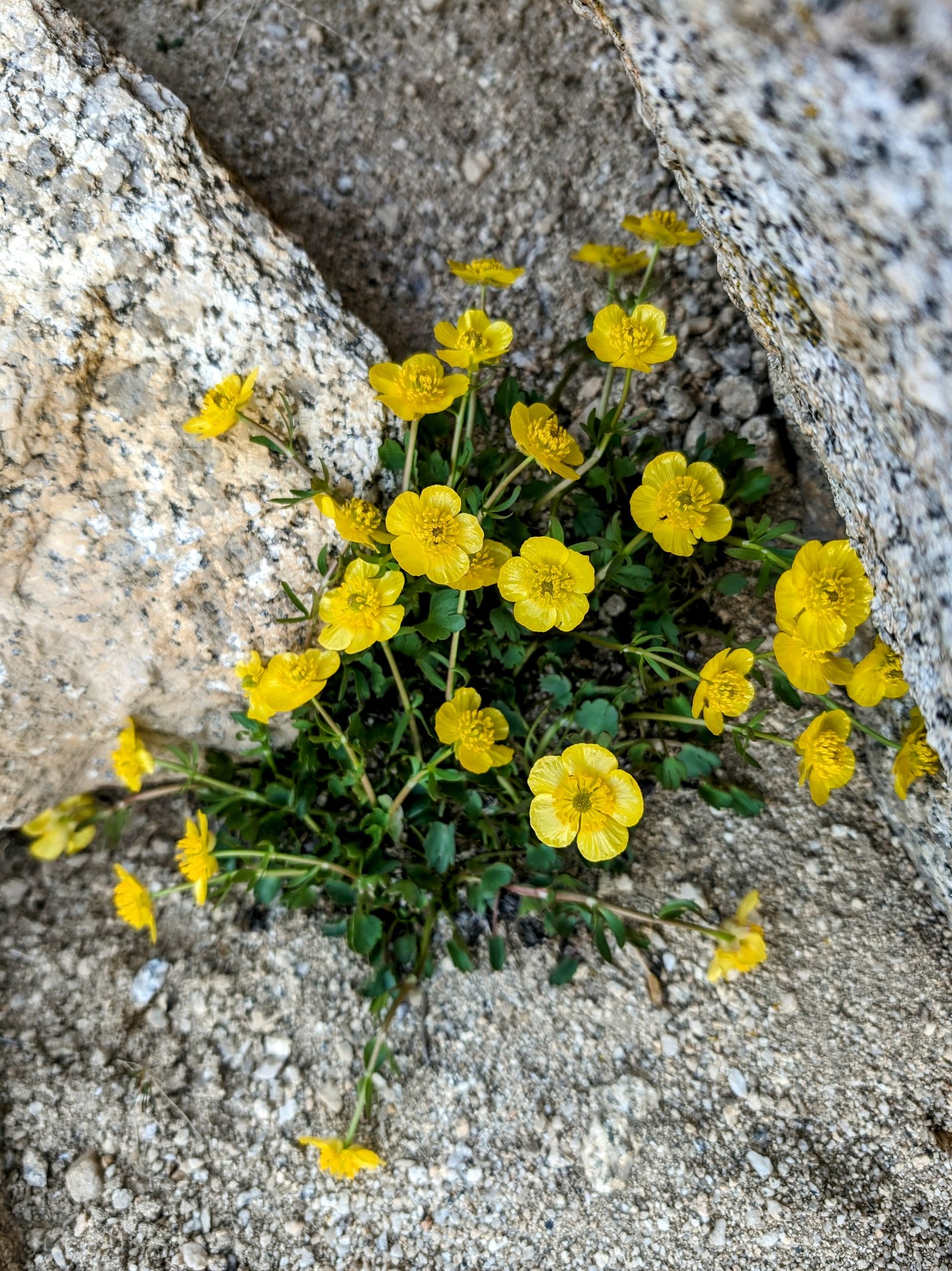
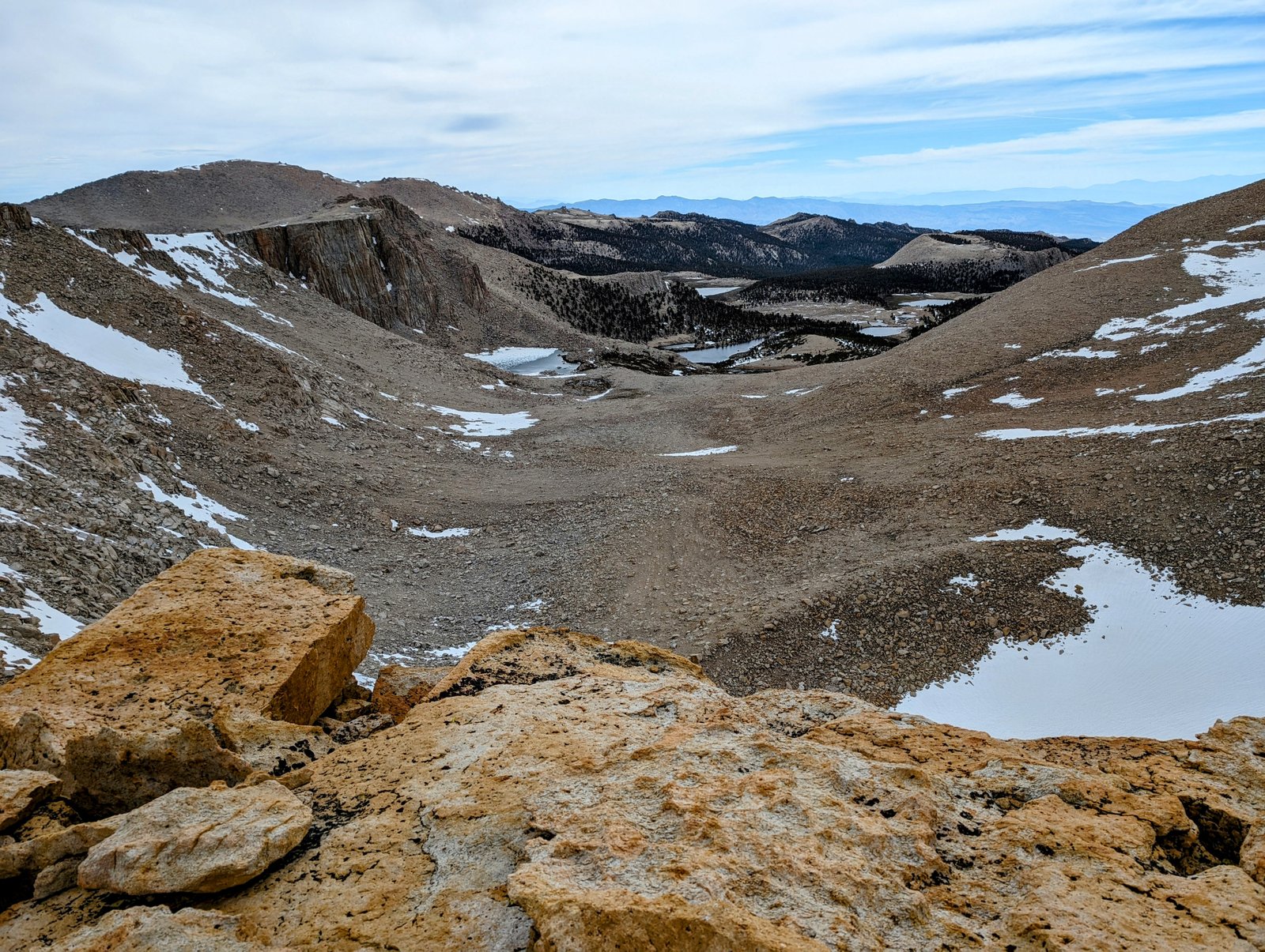
But as it turns out, 11200 feet was the right elevation for the approach to Upper Soldier Lake. I didn’t realize it from the map, but the best way to get to Upper Soldier Lake is to head straight for the saddle that descends to Lower Soldier Lake. And right at that saddle is a gorgeous tarn that does not appear on the USGS map.
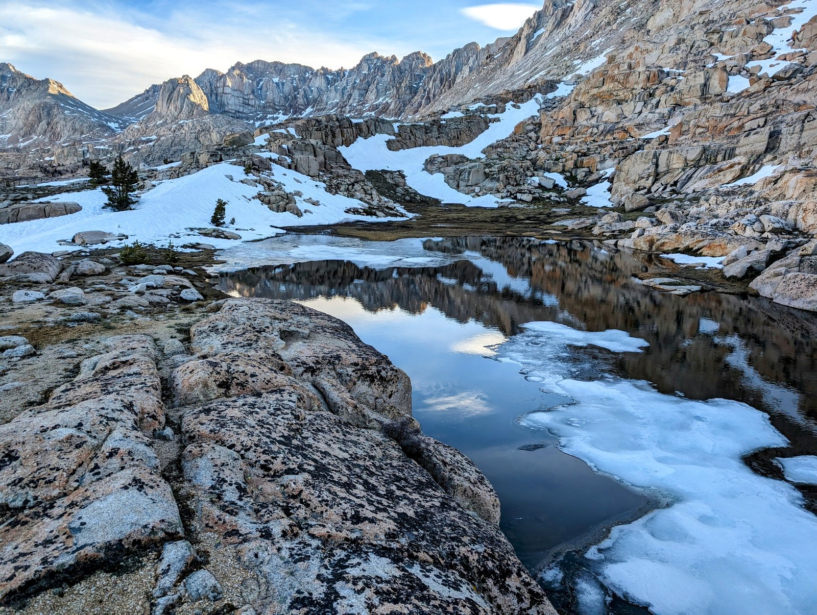
From the saddle there is a fairly obvious system of ledges that traverse around to the upper lake.
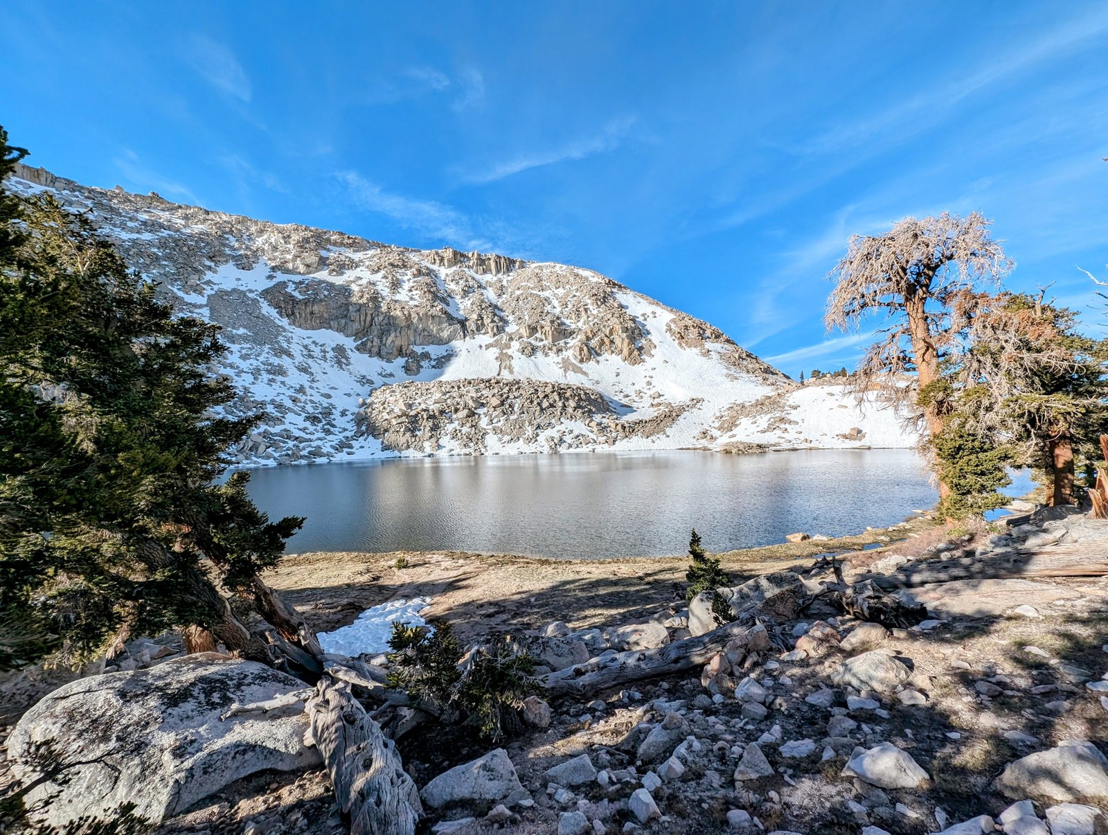
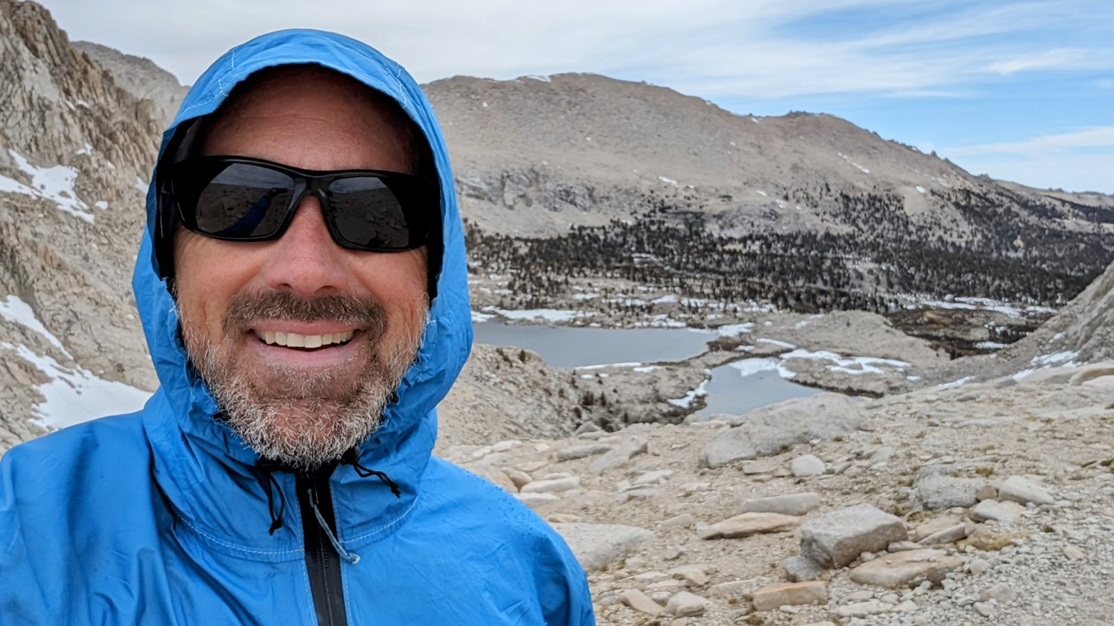
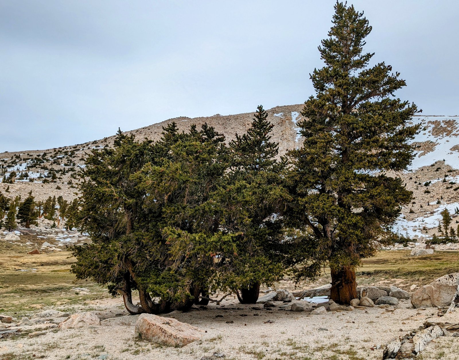
I took a break at the lake and then searched for the Soldier Lake Trail. I never found it, but that’s probably because the terrain is so easy that everyone follows their own path up to the boulder-strewn meadows above the lake.
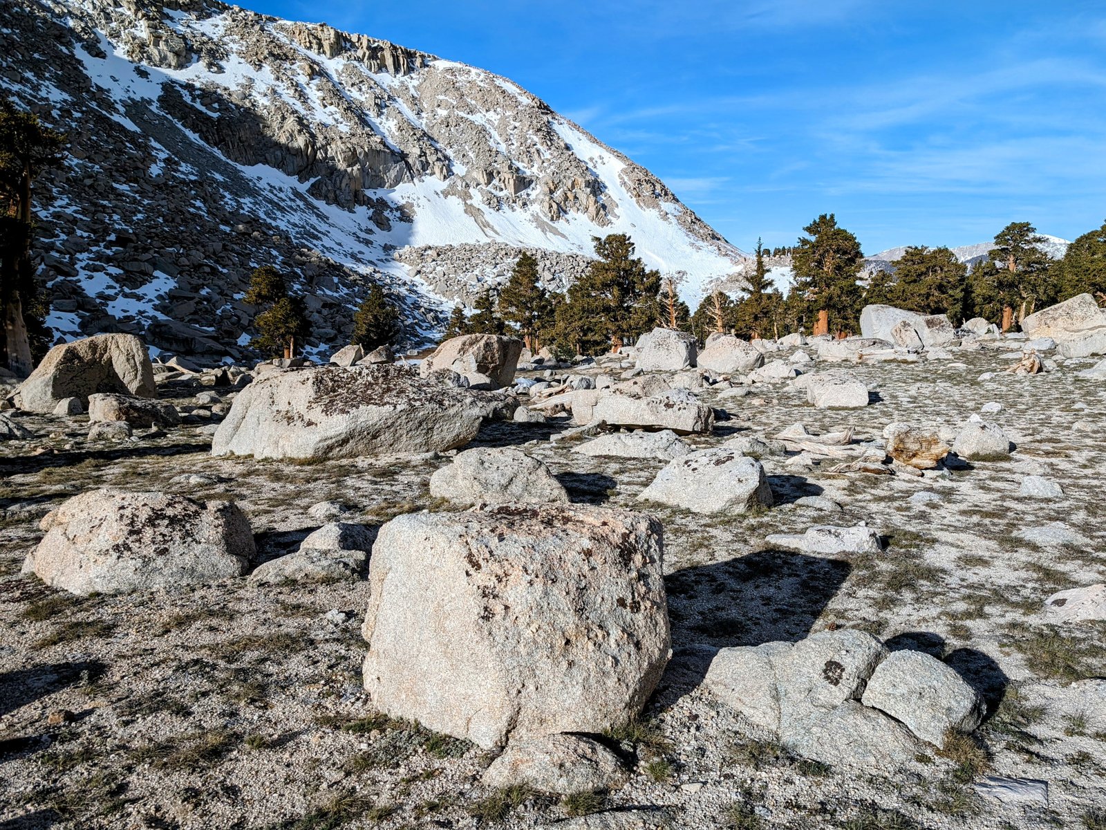
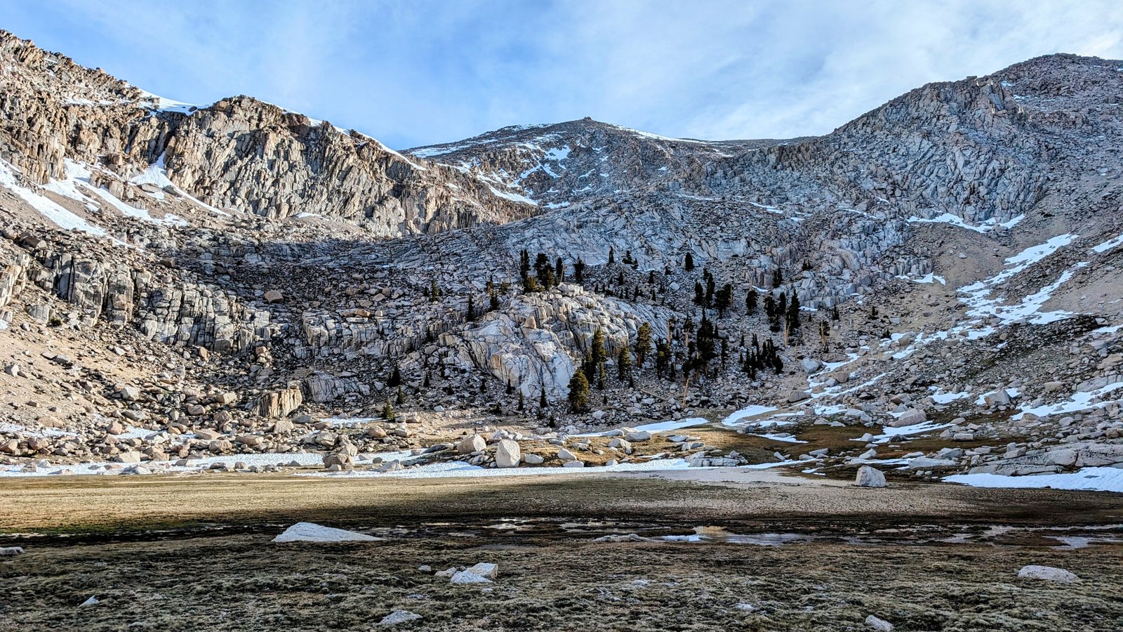
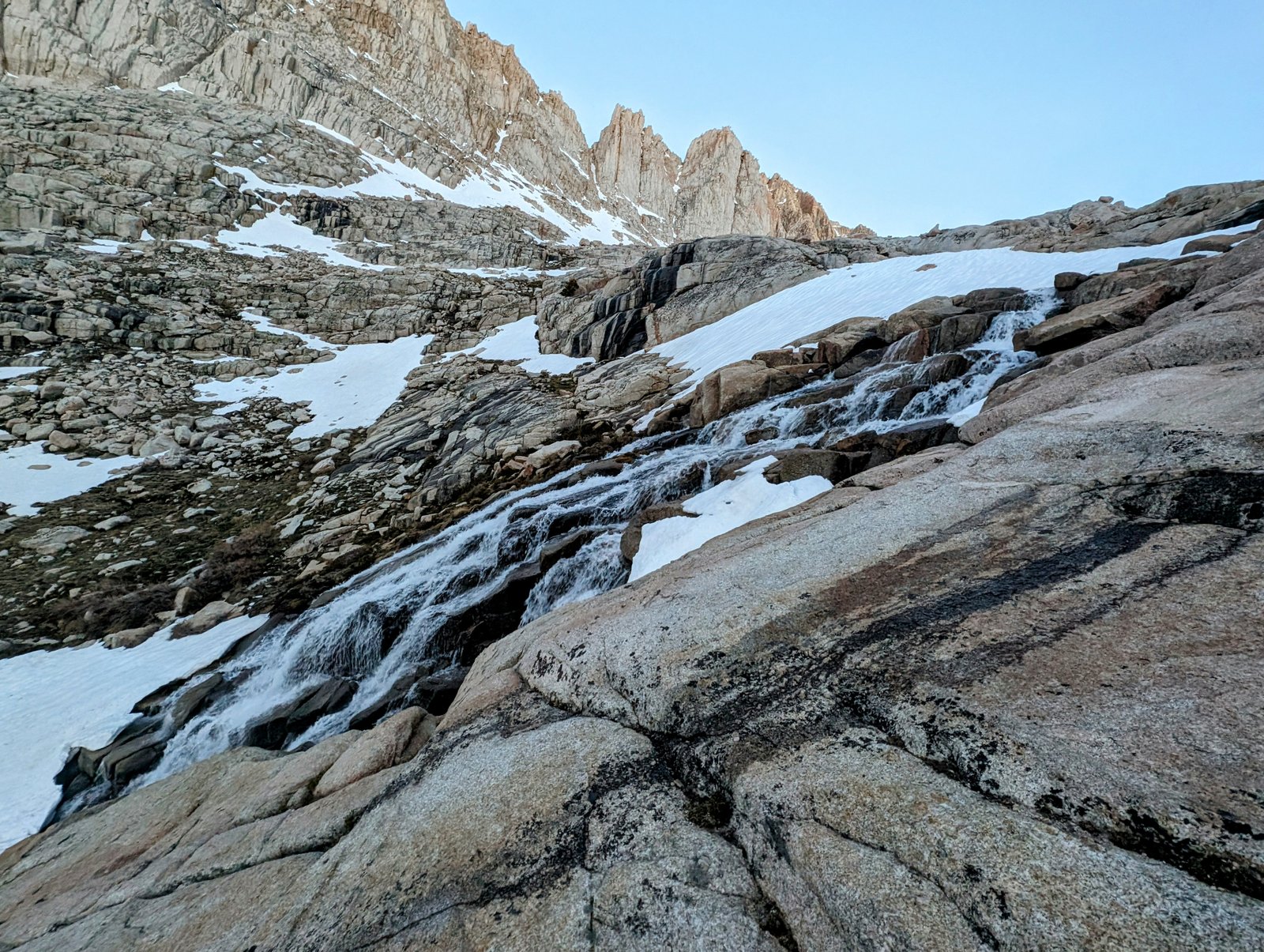
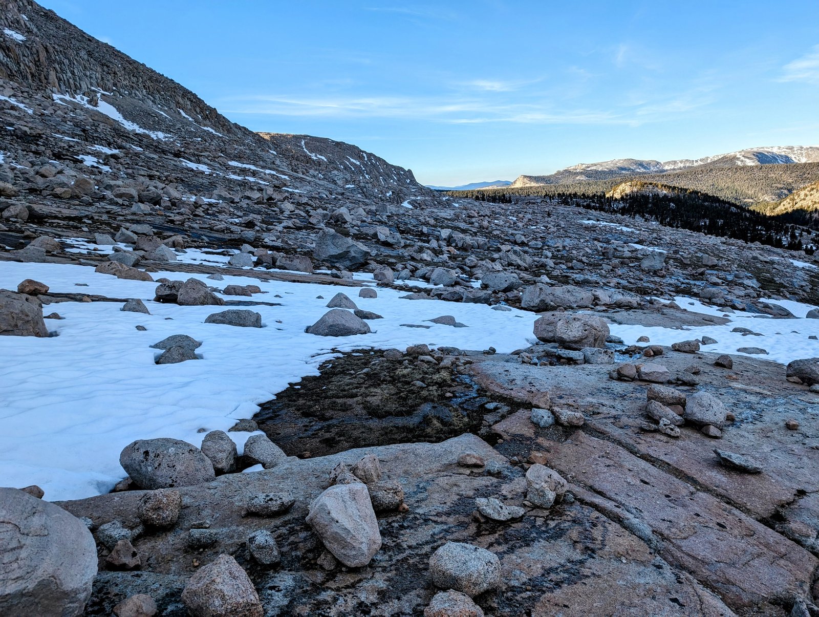
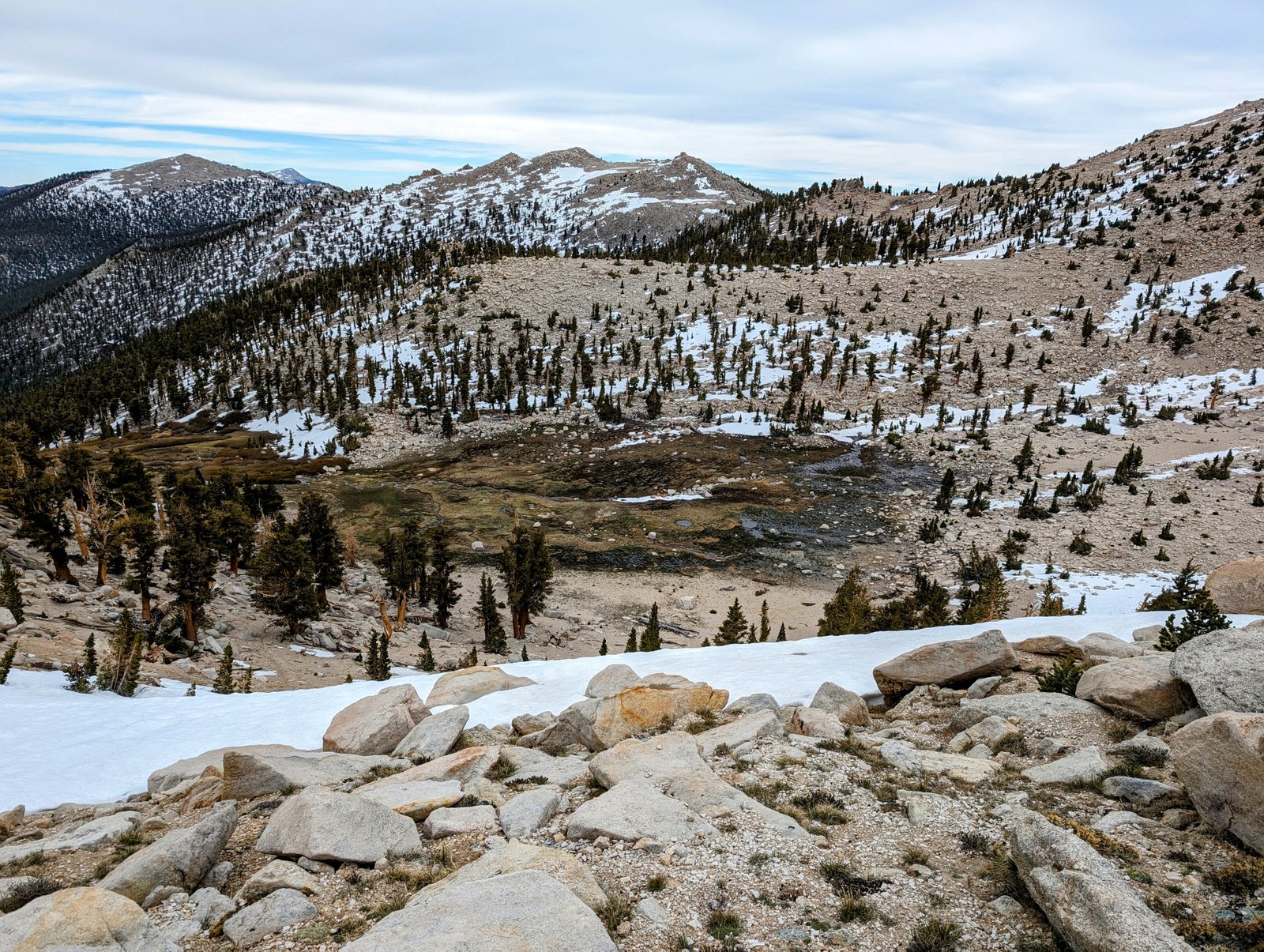
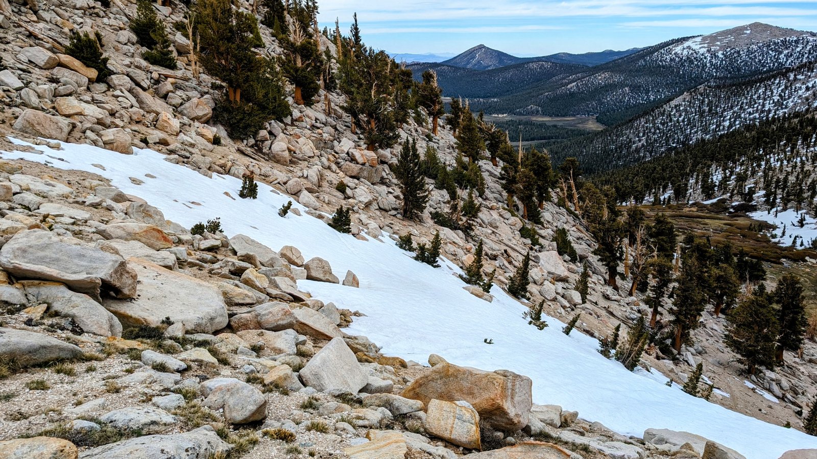
In a pretty stream flowing from the upper meadow I collected two liters of water for my ascent to the Cirque-Trailmaster Ridge. This turned out to be a good thing because a steel gray sky prevented snow melt and eliminated water sources nearly all the way back to Horseshoe Meadows.
I scanned the ravine ahead for the Soldier Lake Trail. I could make out some switchbacks, but they disappeared in rocks and snowfields.
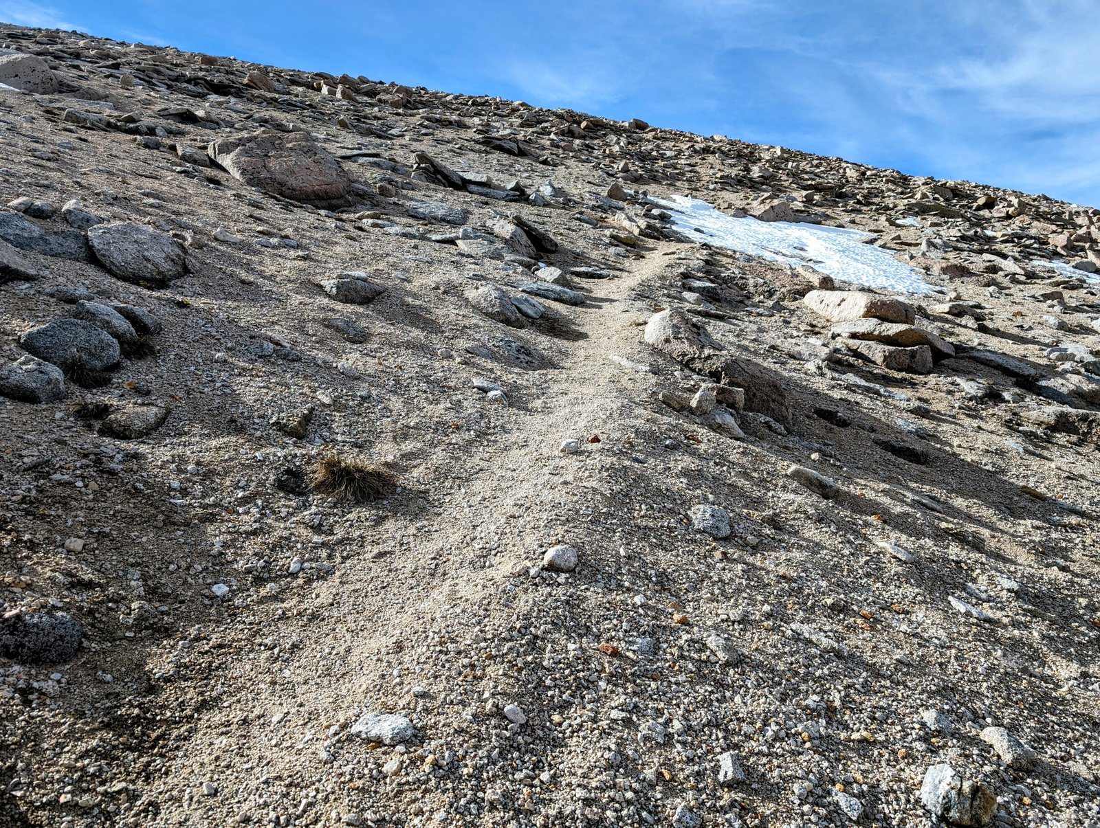
There was a good path leading up out of the meadow, but at the first snow-covered switchback, a faint use trail went straight up the slope, so I followed that.
And then there was nothing.
I was on my own to wind up a steep sandy ridge between two snow-filled ravines. Fortunately, there were enough small rocks in the sand to eliminate backsliding, but it took some time!
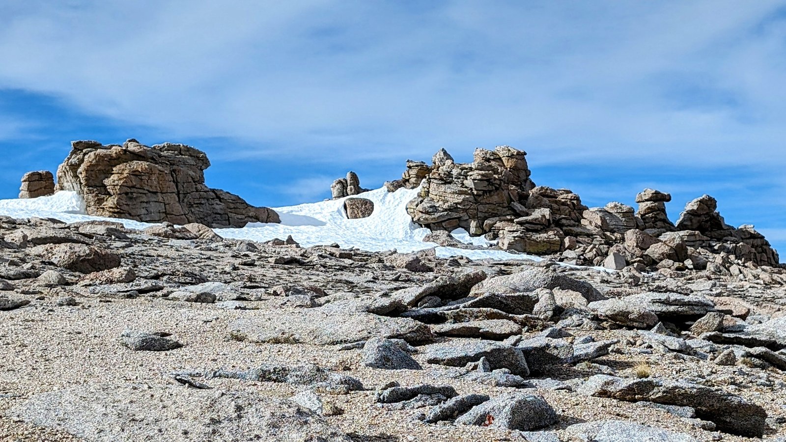
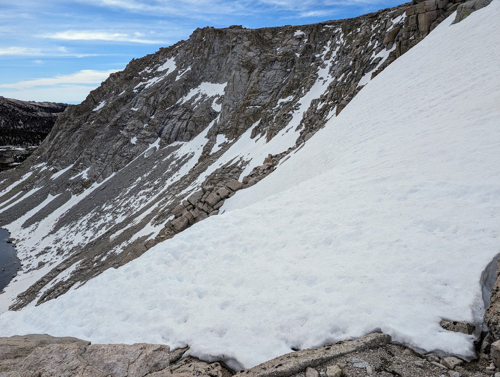
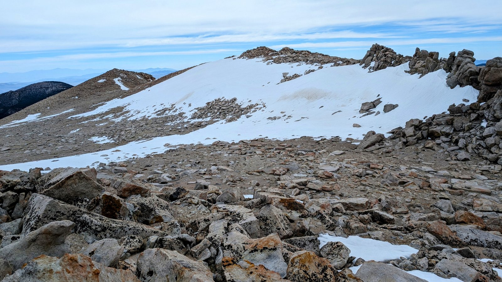
At the top of the rock-ish ridge, the switchbacks became better defined. They were lovely!
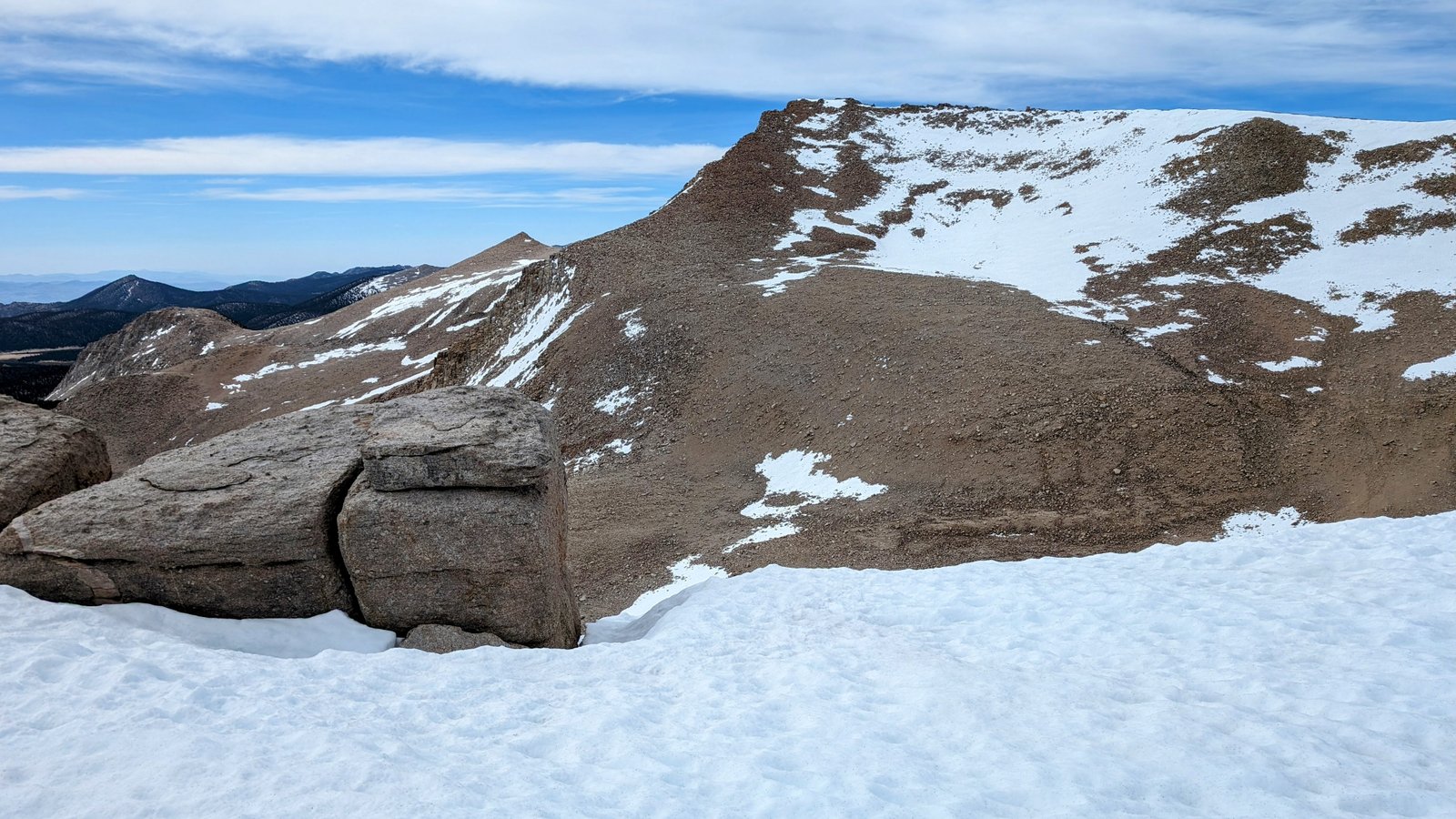
But the trail headed left into the snow again. So I decided to just head straight up the slope towards a lovely ridge at 12,300 feet.
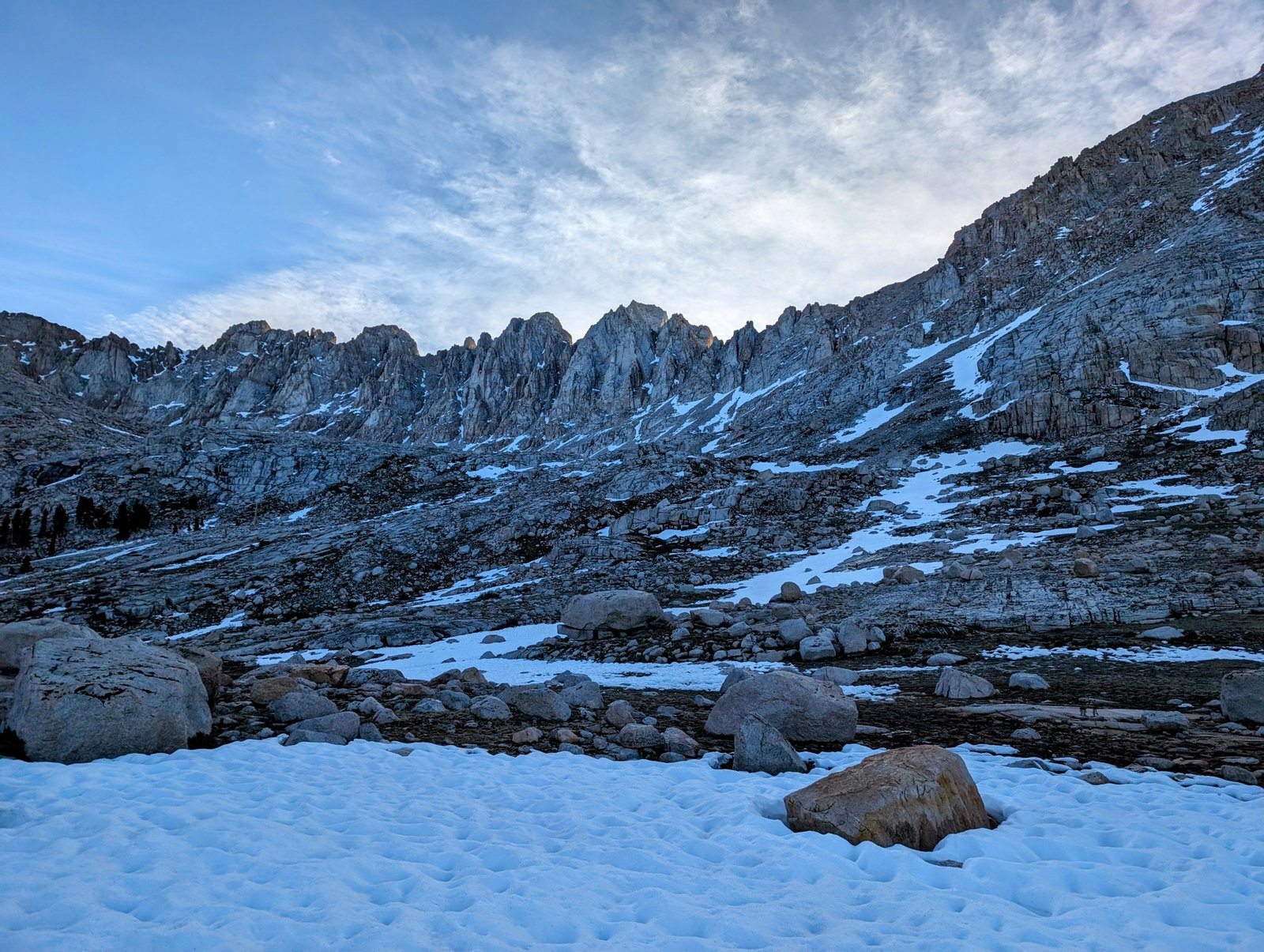
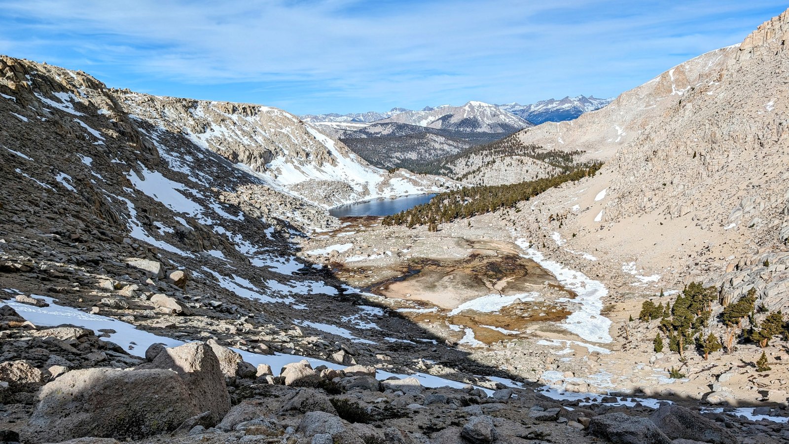
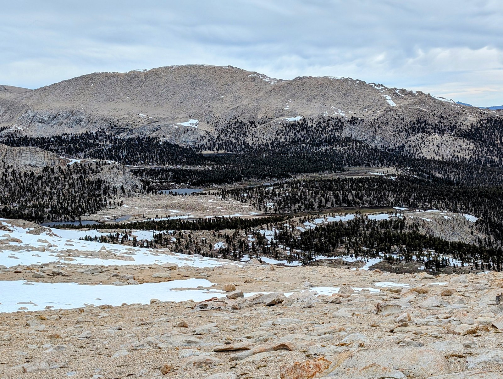
Once I made the ridge I was able to see the Mount Langley Trail emerging from a snowfield.
I headed across the snowfield and then descended the trail to Army Pass.
On the descent to Army Pass I began to get very cold. There was no sun, and sustained winds were blowing at about 20 miles per hour.
Brrrr!
I put my rain gear on for wind protection and donned my gloves.
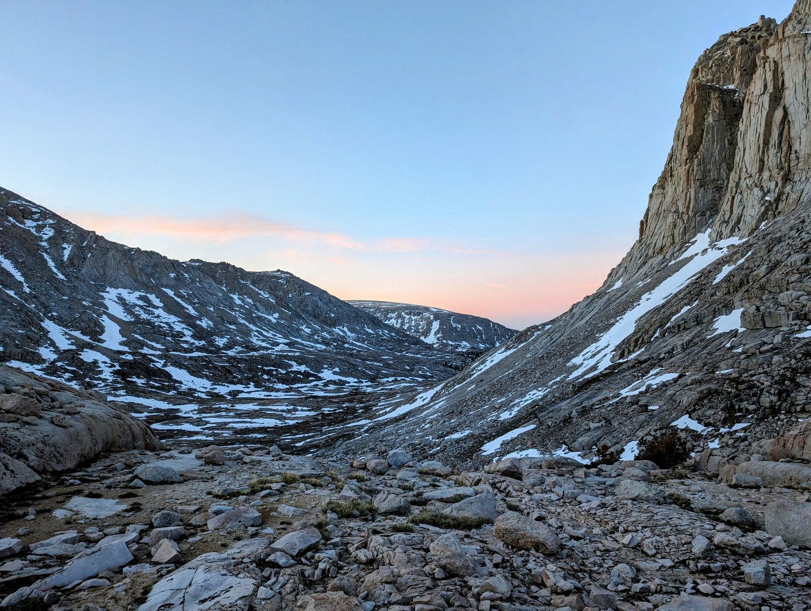
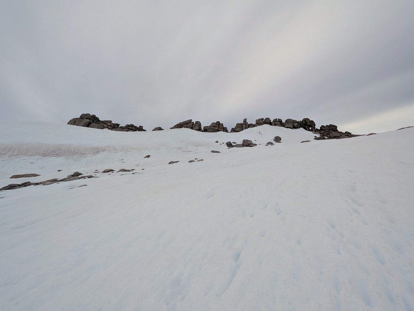
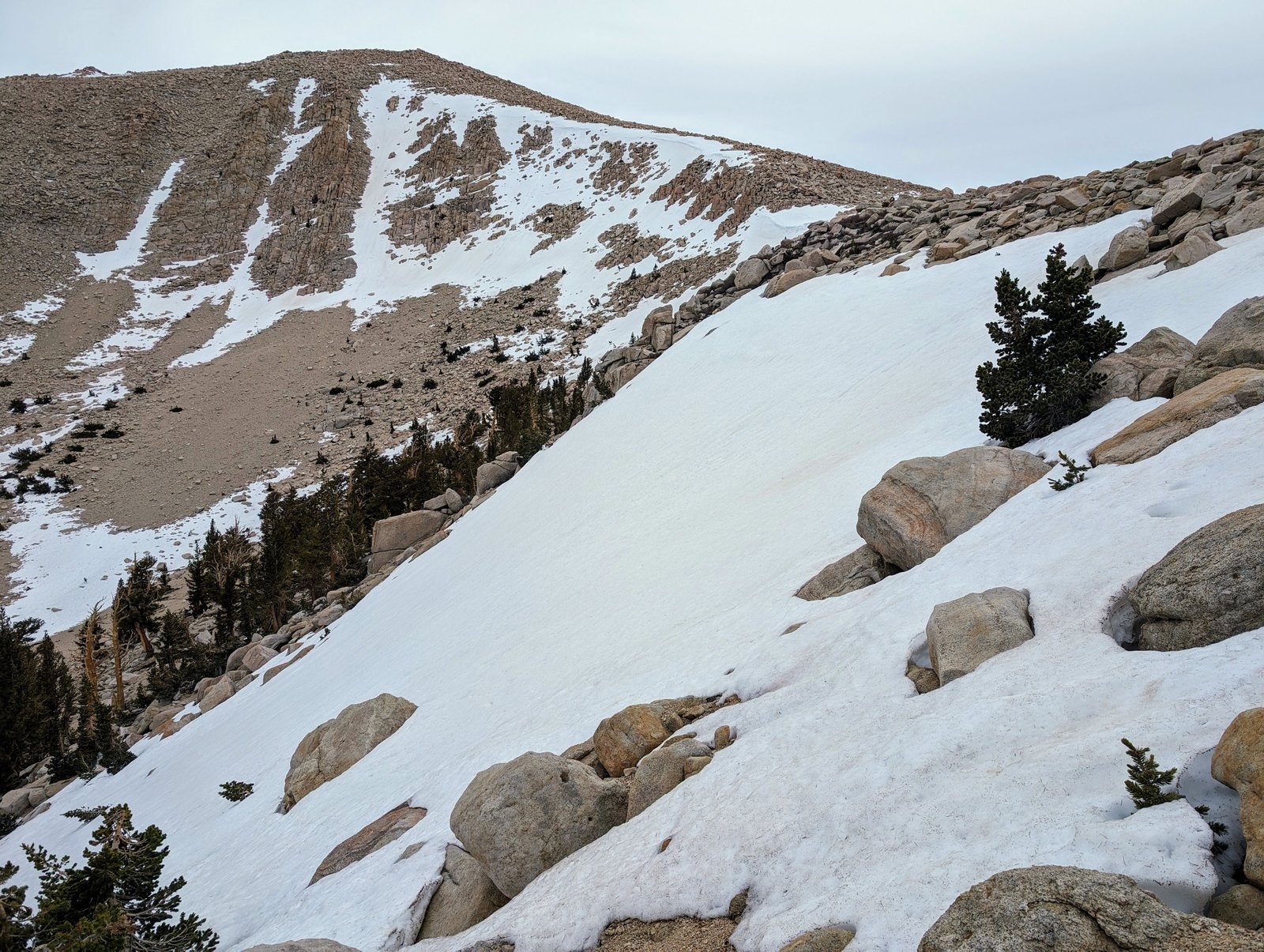
After taking a break out of the wind behind a boulder, it was time to ascend from old Army to New Army Pass. I initially thought I would take the trail, but it was obscured by snowfields so I just went straight up towards the pass.
People write about an early season way to get over New Army Pass when there is a cornice, but I could not see any gaps yet that would allow passage.
With both Army Passes blocked, my fate was sealed. I either needed to carry on along the ridge to Cirque and Trailmaster Peaks, or descend the Army Pass Trail back towards Rock Creek.
I decided to keep calm and carry on!
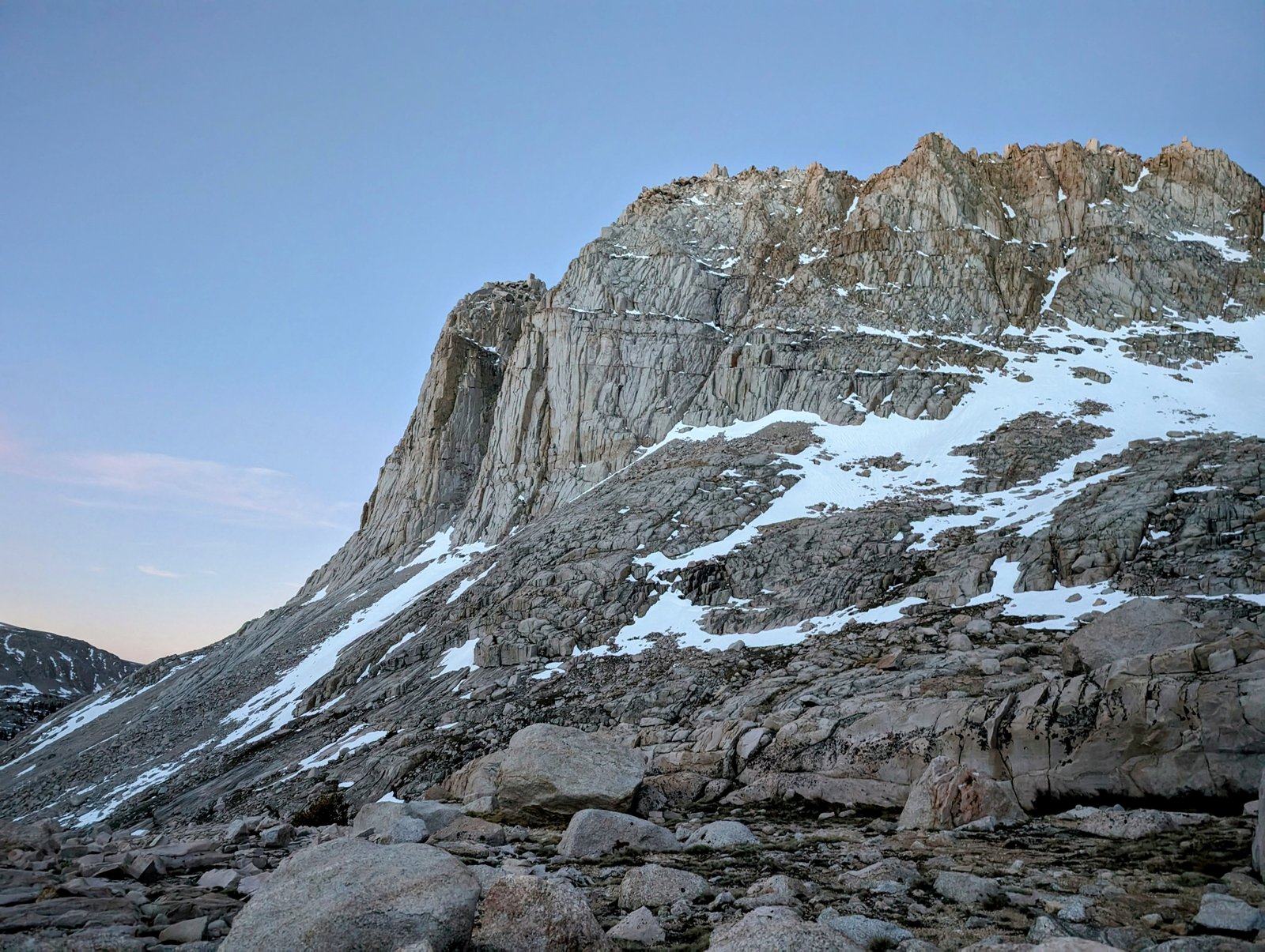
Here was more scenery that reminded me of the Tablelands. But these rocks are not smooth — they have been eroded to sharp and twisty edges. It wasn’t too difficult but I did need to take a little more time winding my away along the ridge.
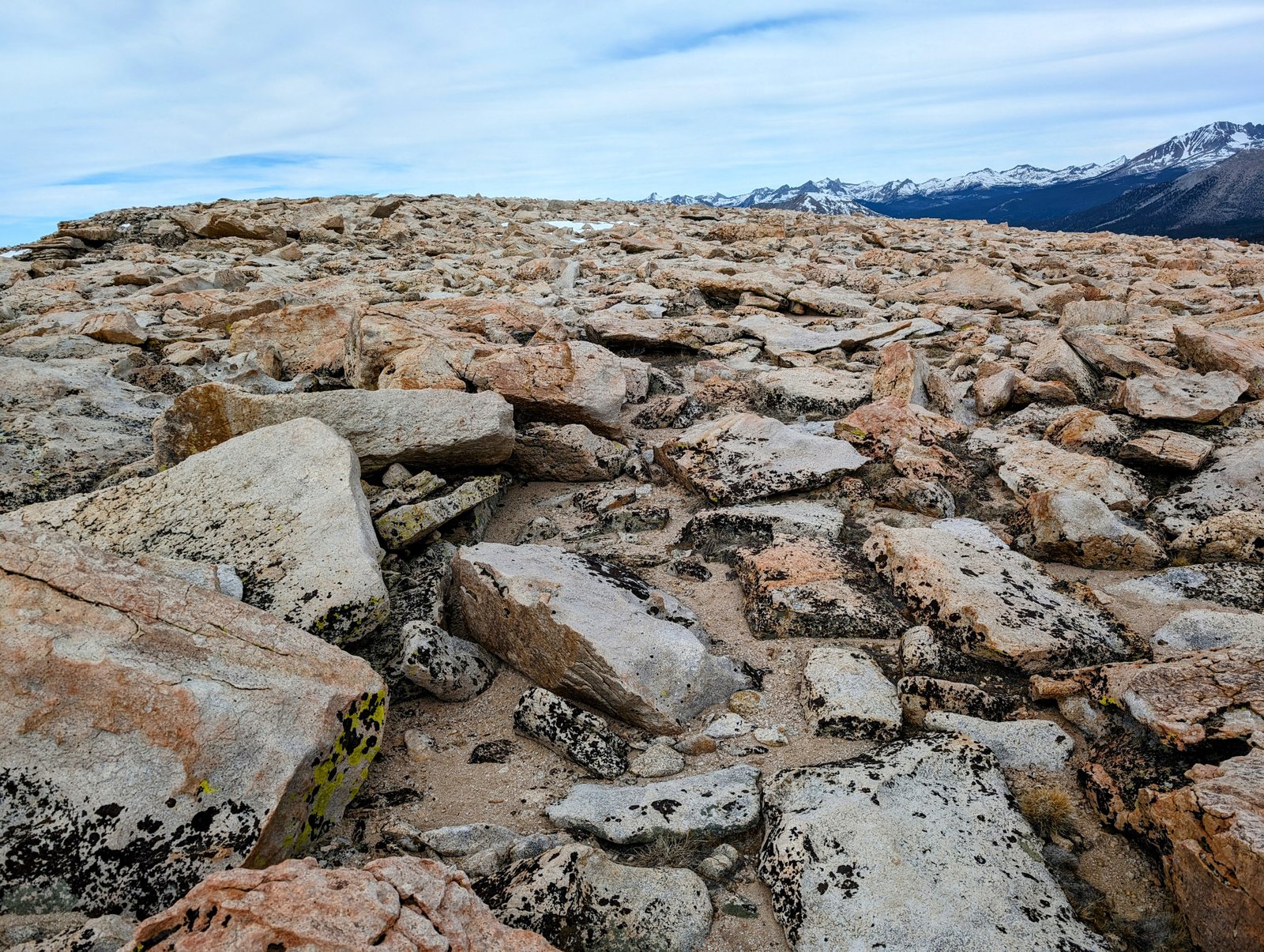
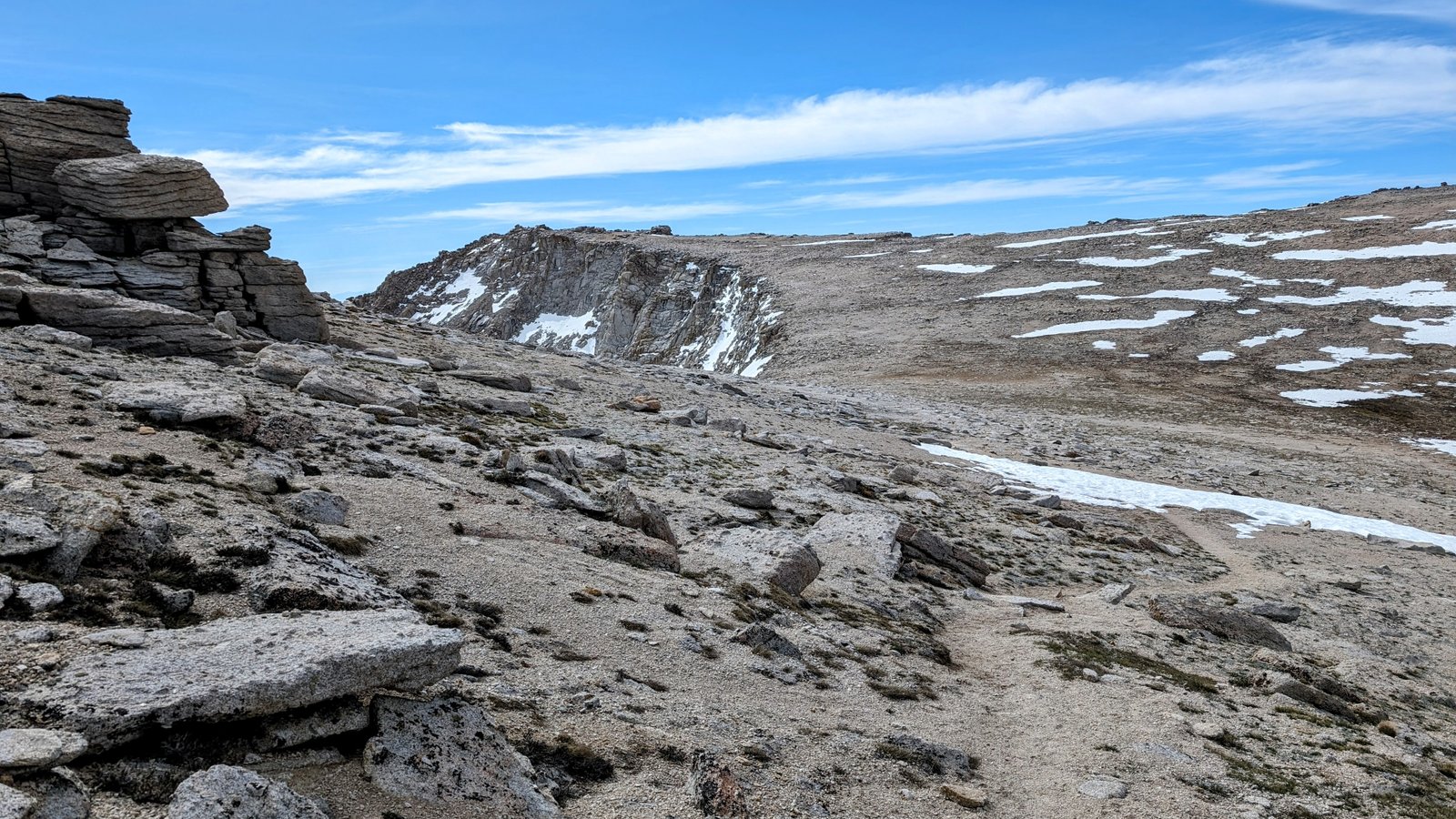
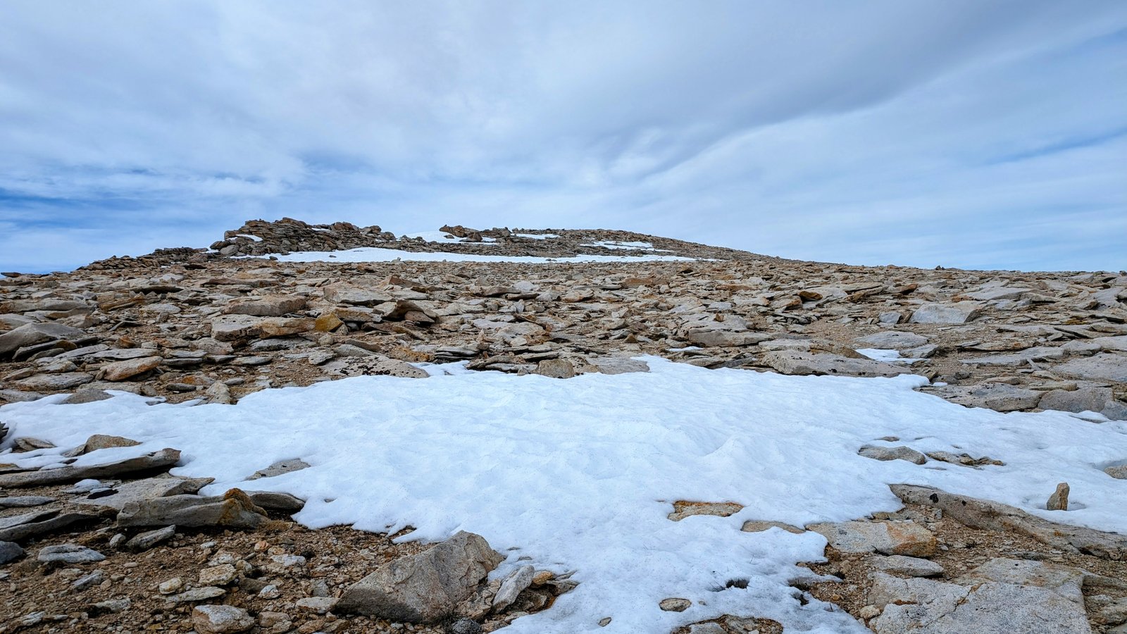
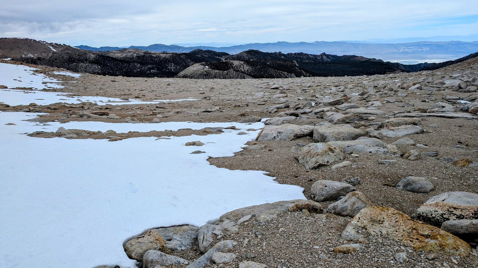
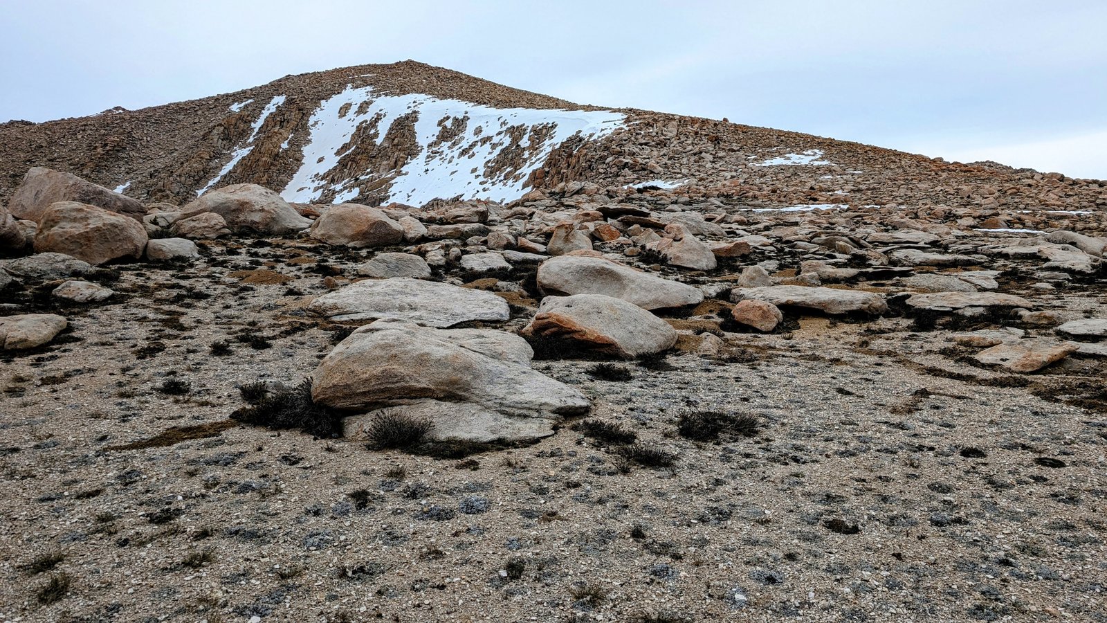
The ridge got a lot sandier and easier to travel at around 12,500 feet.
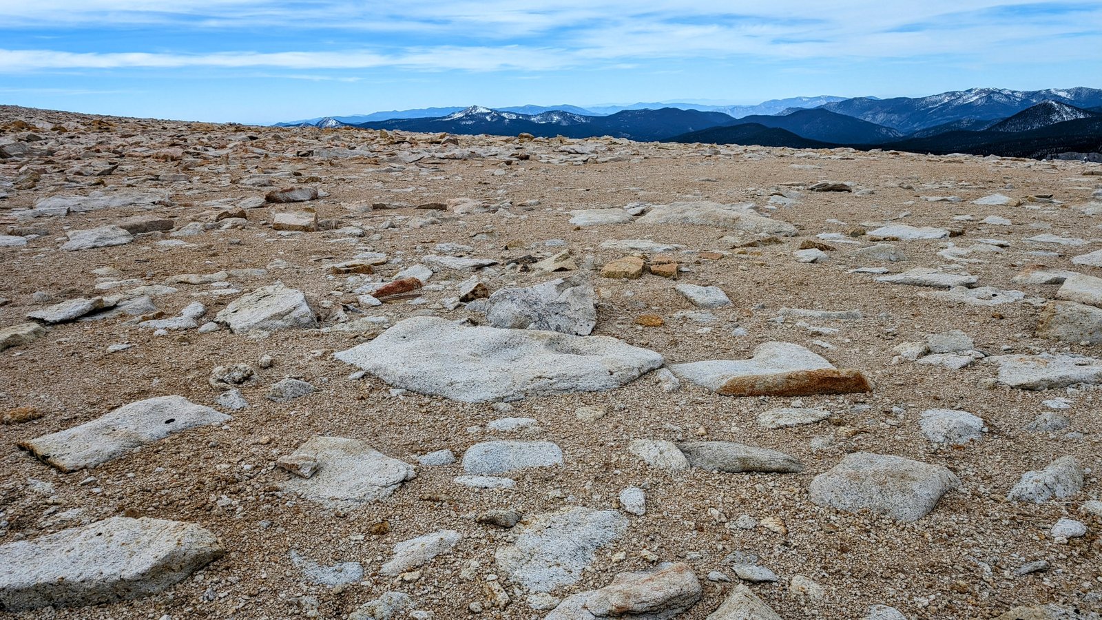
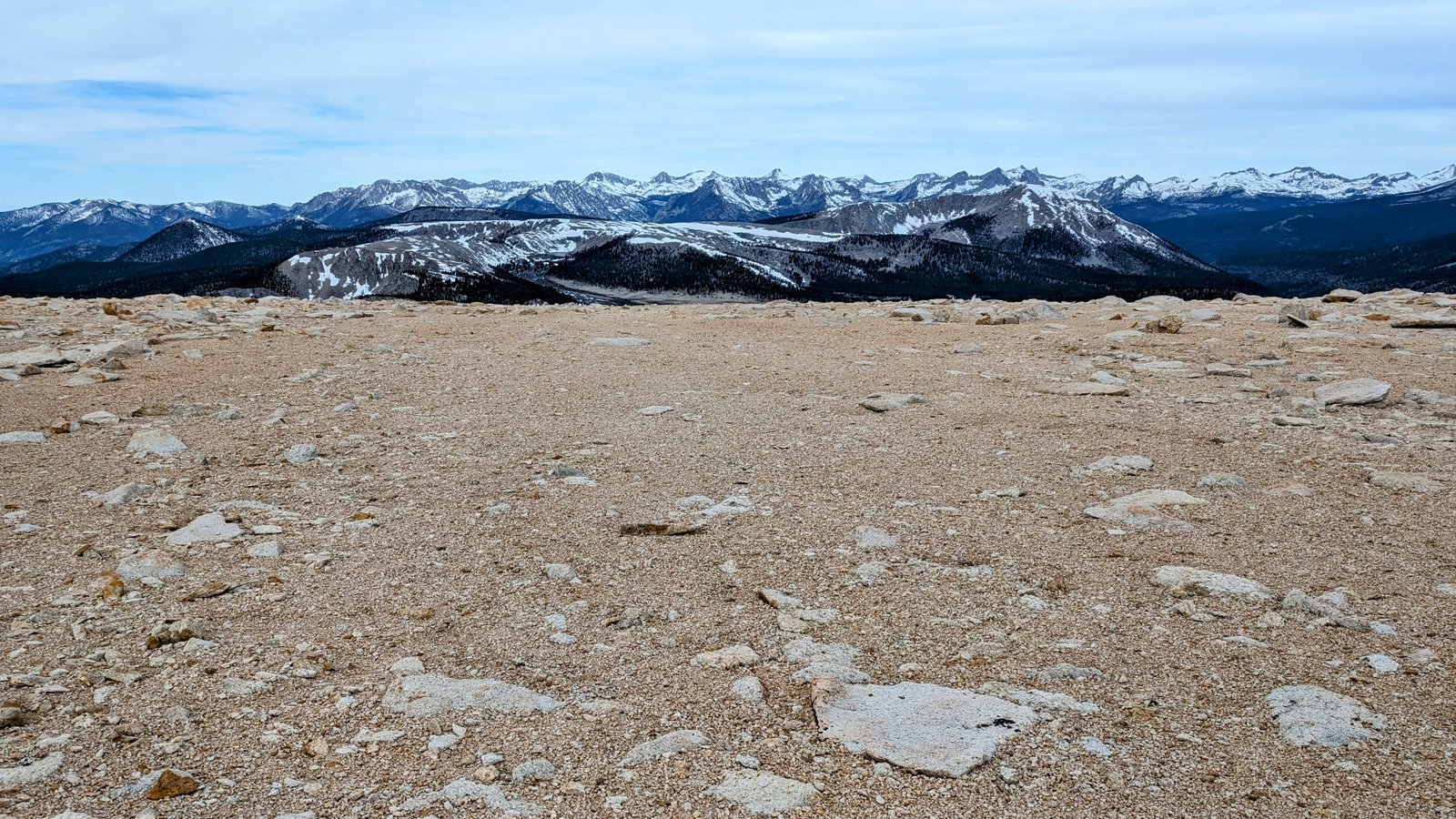
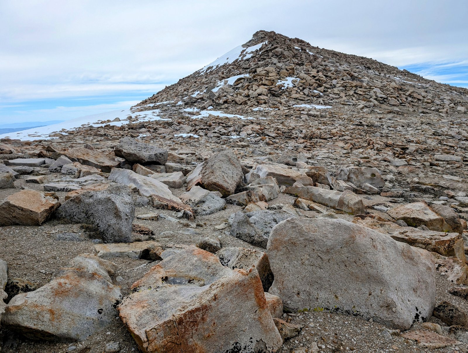
I was not interested in peakbagging, so I traversed below the south side of Cirque Peak at about 12,500 feet.
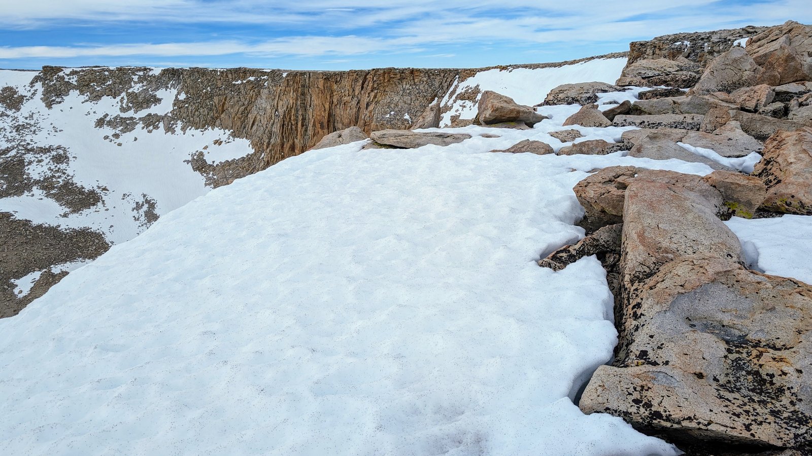
I then descended to a saddle at about 12,300 feet with a view of the lakes below.
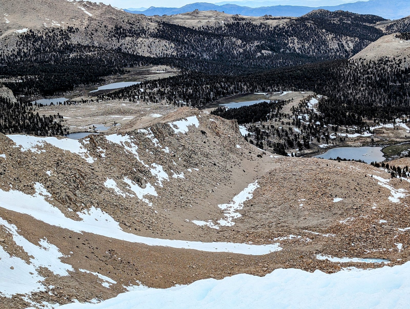
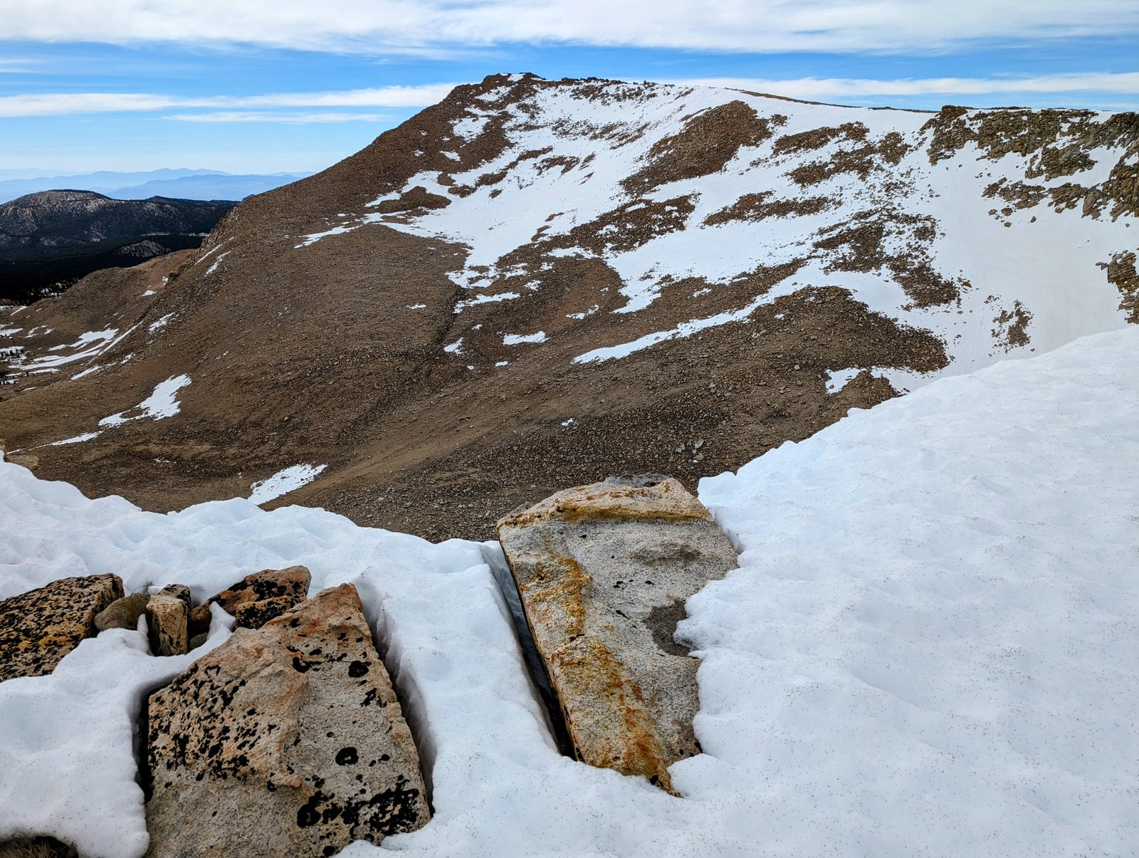
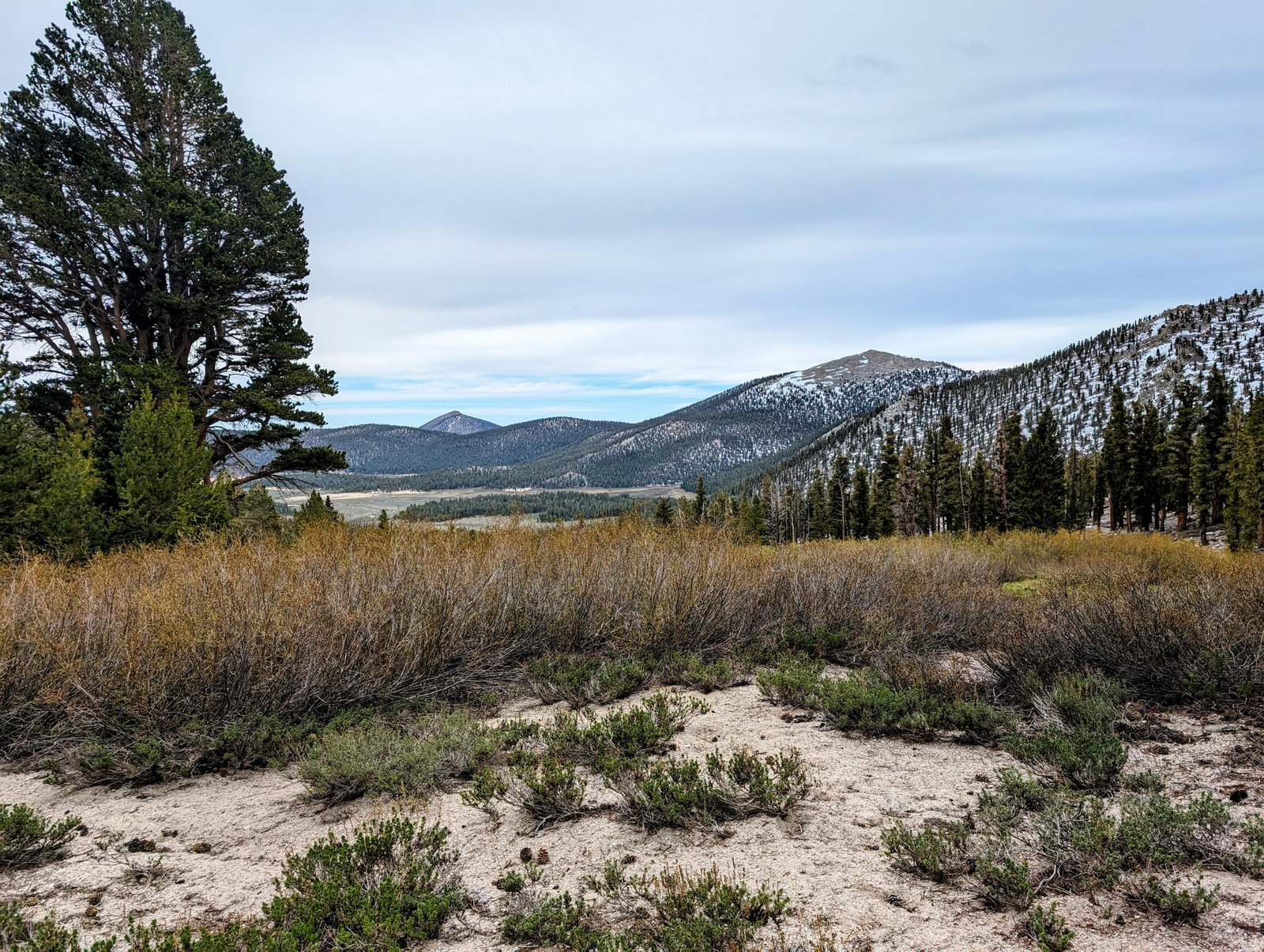
I took a nice break at this saddle and then traversed the south side of point 12525T to another saddle at 12,300 feet, where I got my first view of Trailmaster Peak.
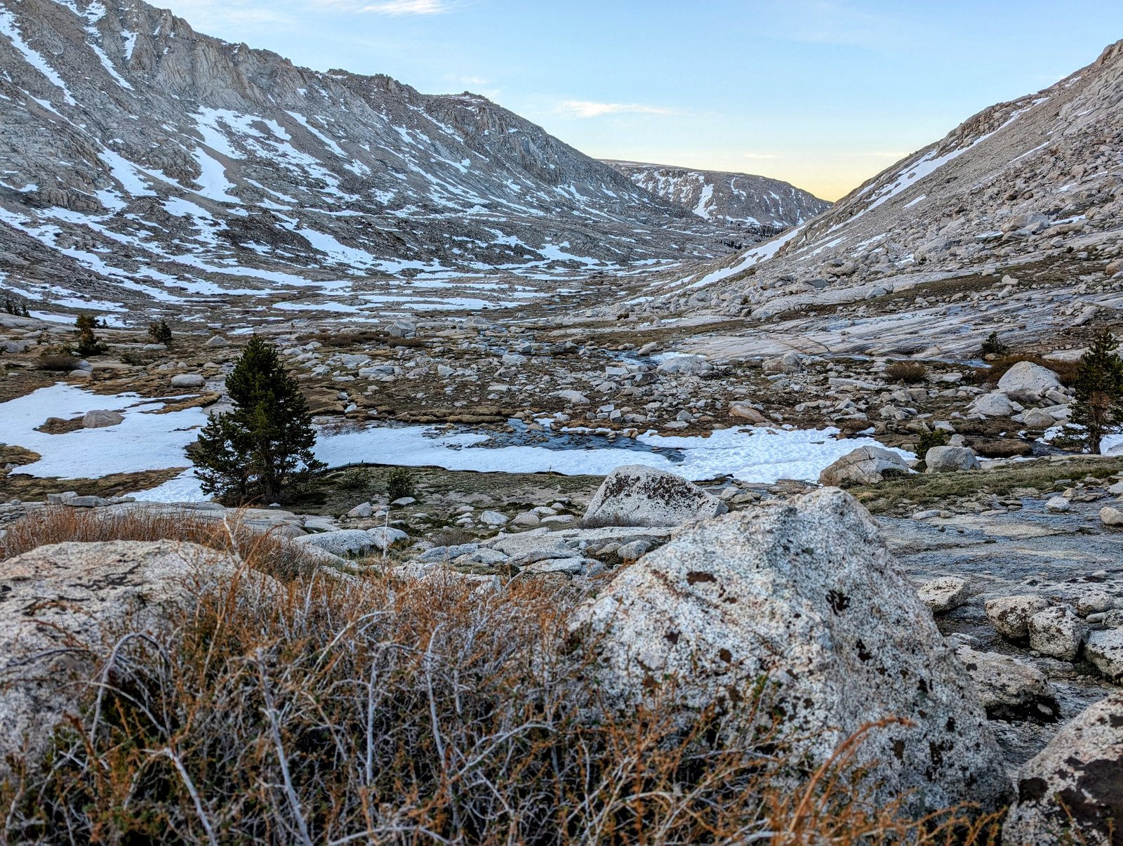
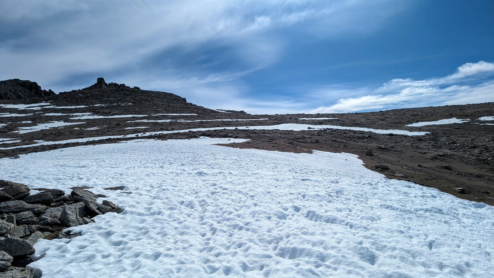
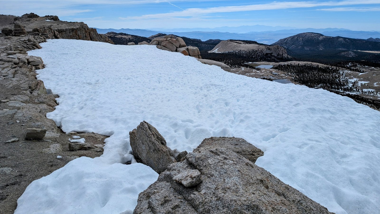
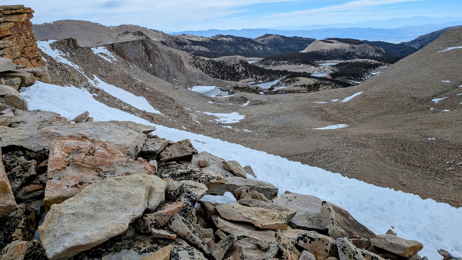
I descended from this saddle into a very gentle valley. The first bit involved walking a lovely snow field that combined with the sky to create an Arctic experience.
But soon the snowfield was done, and travel for the next hour or so was absolutely luxurious. Downhill and just enough sand to cushion my semi-gallop to the next two viewpoints.
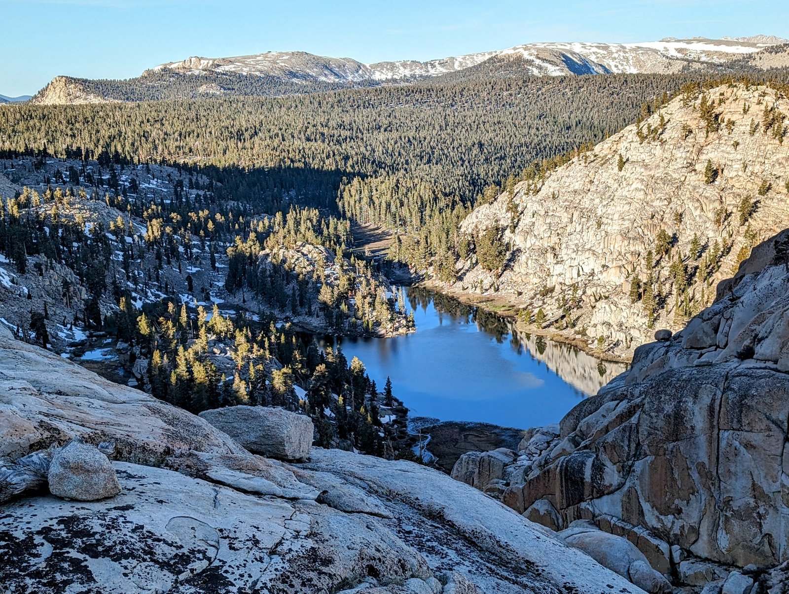
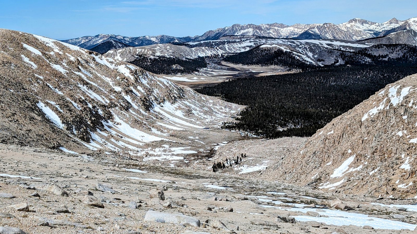
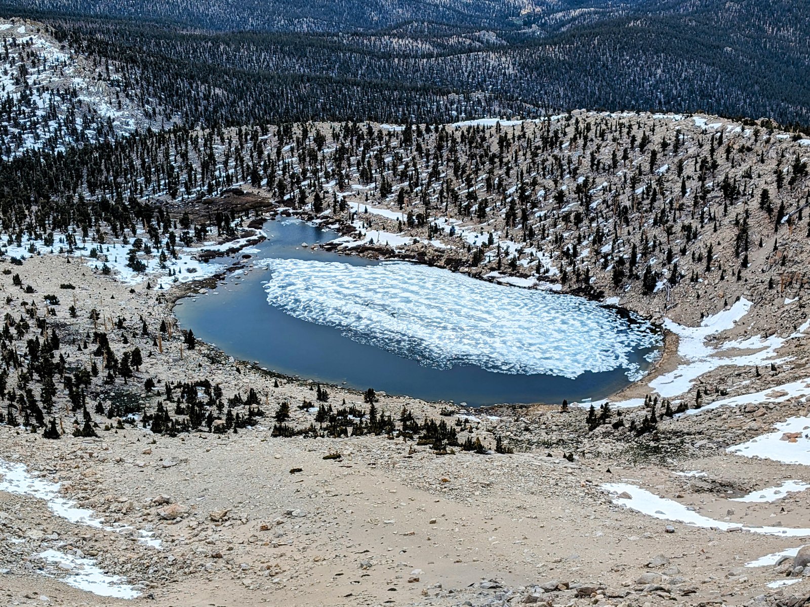
My personal highlight for the day was the saddle at 12,120 feet above Chicken Spring Lake. I have always looked up at this ridge from the lake and wondered what it would look like from up high.
And now I know!
And then it was down down down, lovely down, towards the saddle just below 11,400 feet.
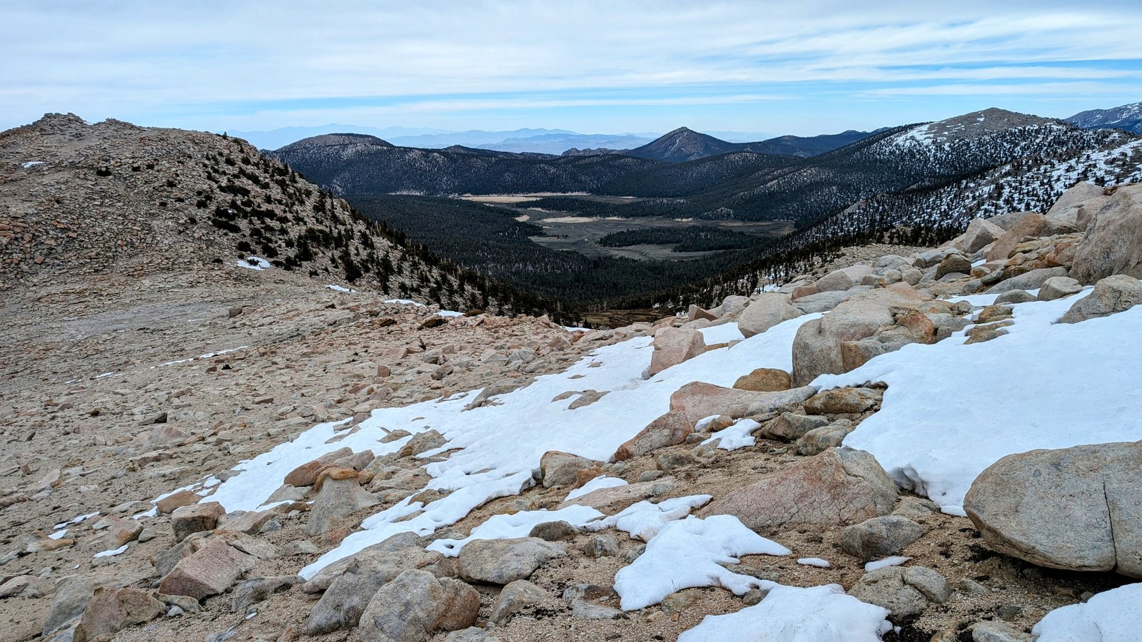
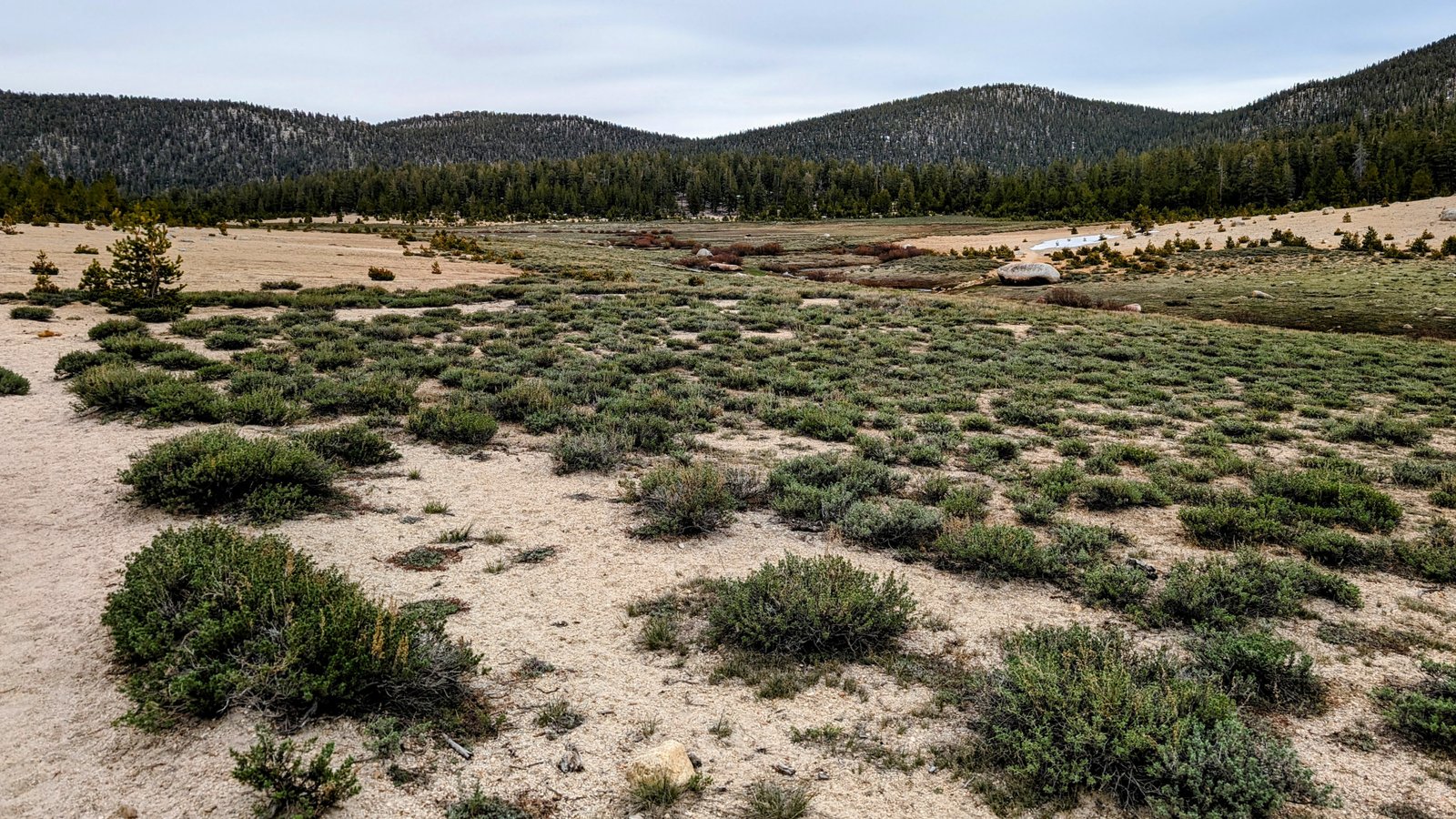
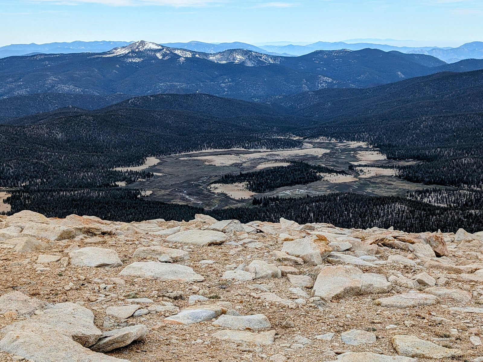
I don’t know what the meadow below this saddle is called, but I am going to call it Trailmaster Meadow.
It was beautiful, but I was momentarily disconcerted by the huge steep snowfield that blocked descent.
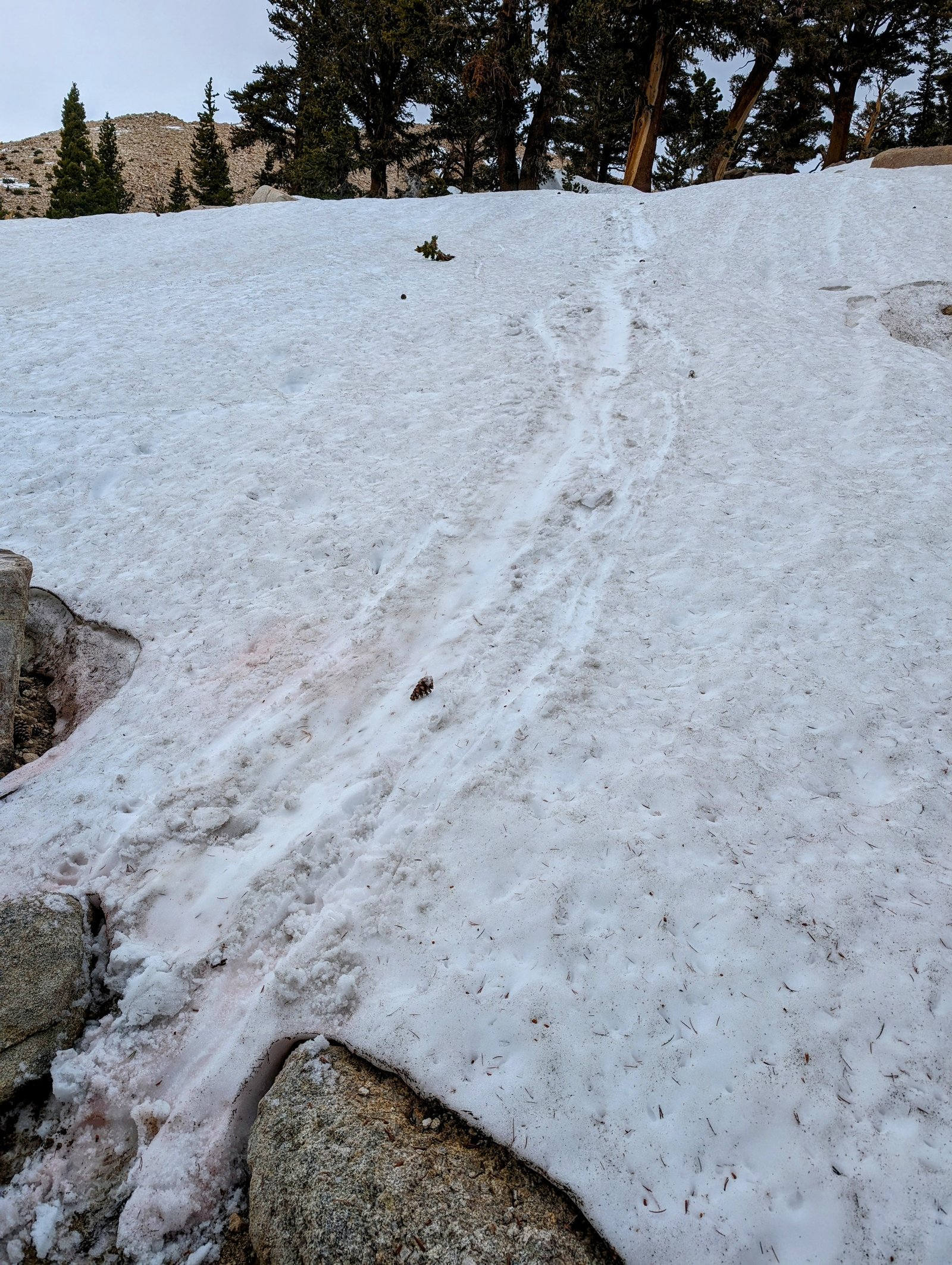
Fortunately, the rocks and trees on the border of the snowfield provided an easy workaround, and I even found something of a use trail there with both human and non-human footprints leading the way.
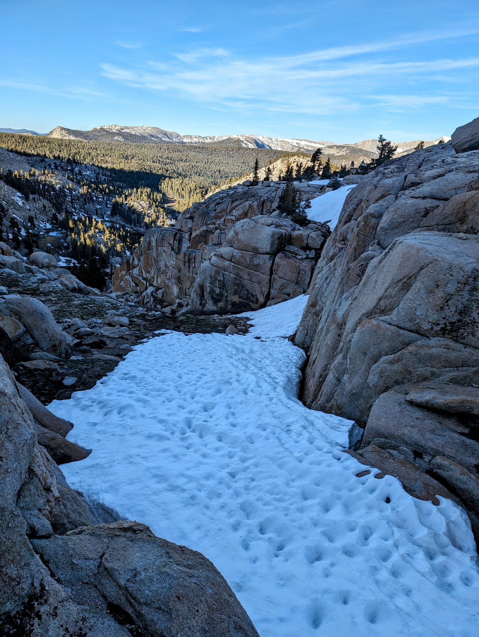
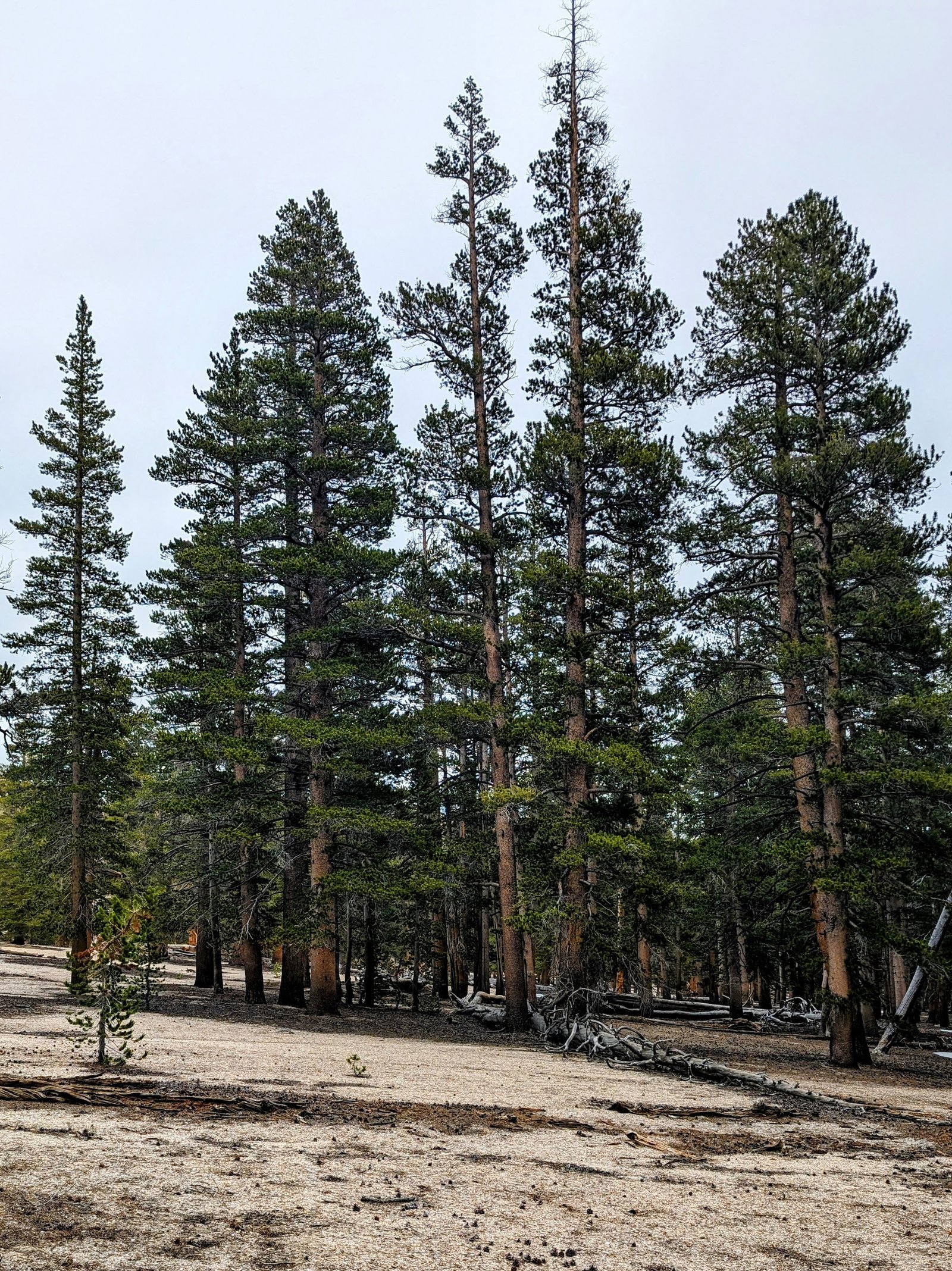
I followed the north side of the creek flowing from Trailmaster Meadow all the way down to Horseshoe Meadow.
It was occasionally steep, and there were a few snowfields to negotiate at first. I did an unintentional glissade on one of them, hitting my butt on the snow so hard that my pack’s hip belt popped out of its bracket!
But it was easy to pop the hip belt back on to my pack, and the rest of the way down was an easy traverse through pretty woods above the willows of the creek.
Once I got down to the flat I thought I would cross the creek, but the walking here is so glorious that I just walked straight through the sandy woods until I met the Cottonwood Pass Trail where it crosses the creek.
The last mile and a half back to the car was on trail. I put on my headphones and listened to my favorite album of the moment, “Perseids” by Somesurprises.
It perfectly matched my ebullience!