27 July 2024
Oak Creek to Dollar Lake
(16 miles, +8,000/-2,300 feet).
Last night was rough! The wind did not settle down until past midnight. I maybe got three hours of sleep. I am coated in dust like a chicken cutlet!
I tried not to think about the fact that I had to climb 8,000 feet today (my PR for a single day is 8,300 feet on Rabbit Peak).
8,000 feet is a lot!
Fortunately, I awoke to much cooler temperatures than yesterday afternoon, and my early start gave me a whole hour to hike before the sun peaked over the Inyo Mountains to the east.
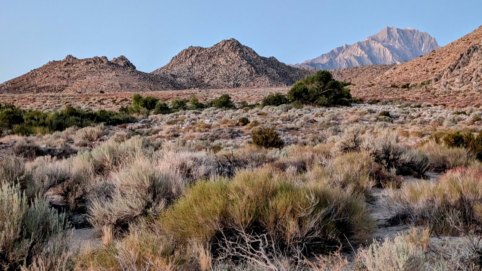
I followed a network of lightly travelled jeep roads north to Road 13S101 and then followed it west.
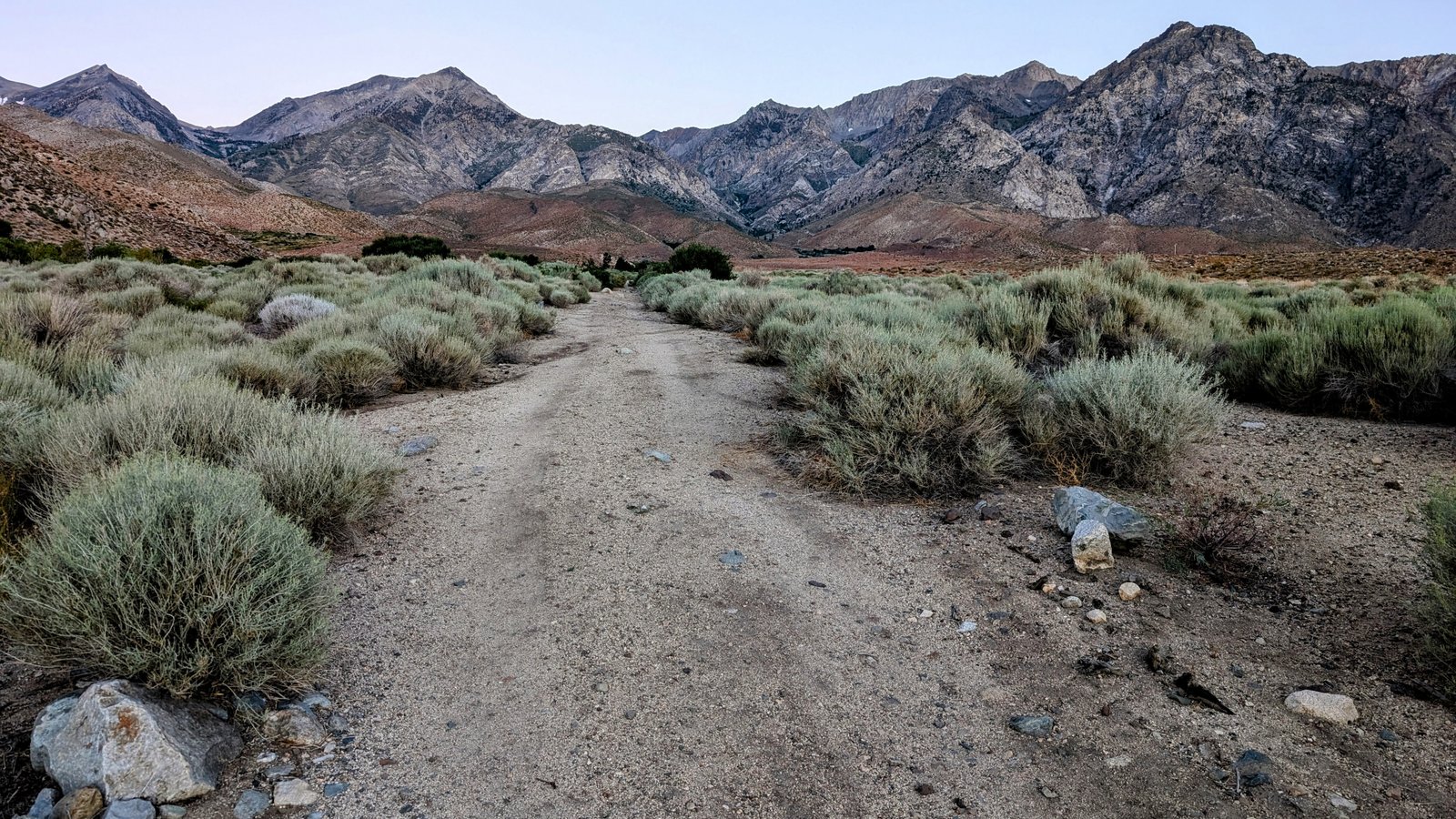
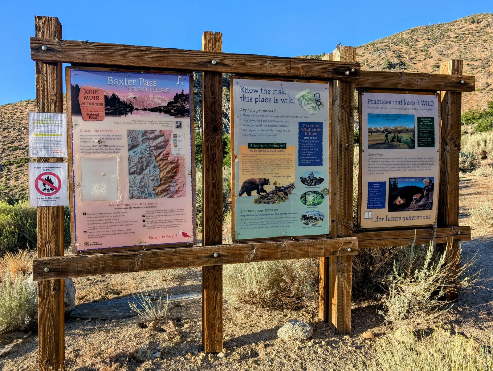
I really enjoyed the scenery and the road I was on kept me off the main road to the Baxter Pass Trailhead.
I passed an extremely nice shaded campsite, complete with picnic table, in the middle of nowhere just off the road above Oak Creek. If I ever do this route again I will keep it in mind!
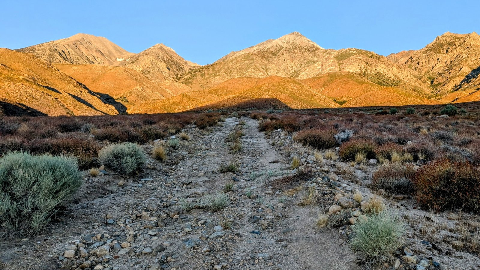
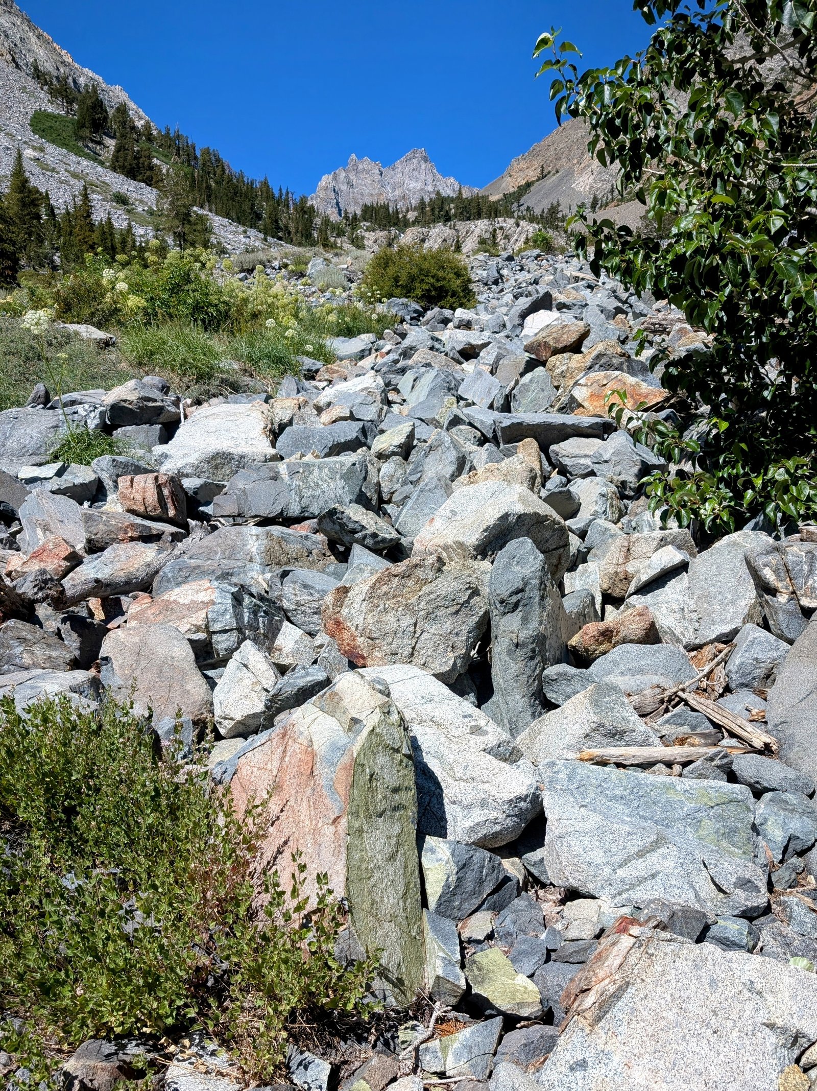
Alas, the sun was soon on my back as I continued up the valley. And the jeep road I was on got harder and harder to follow, It eventually petered out altogether and I was doing cross country through a mix of talus and white thorn. Ouch!
I managed to get over to the main road a few hundred meters before the trailhead.
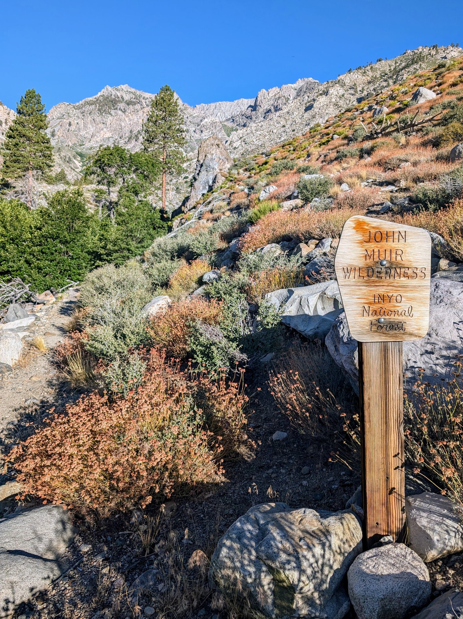
And then there was trail! Glorious trail!

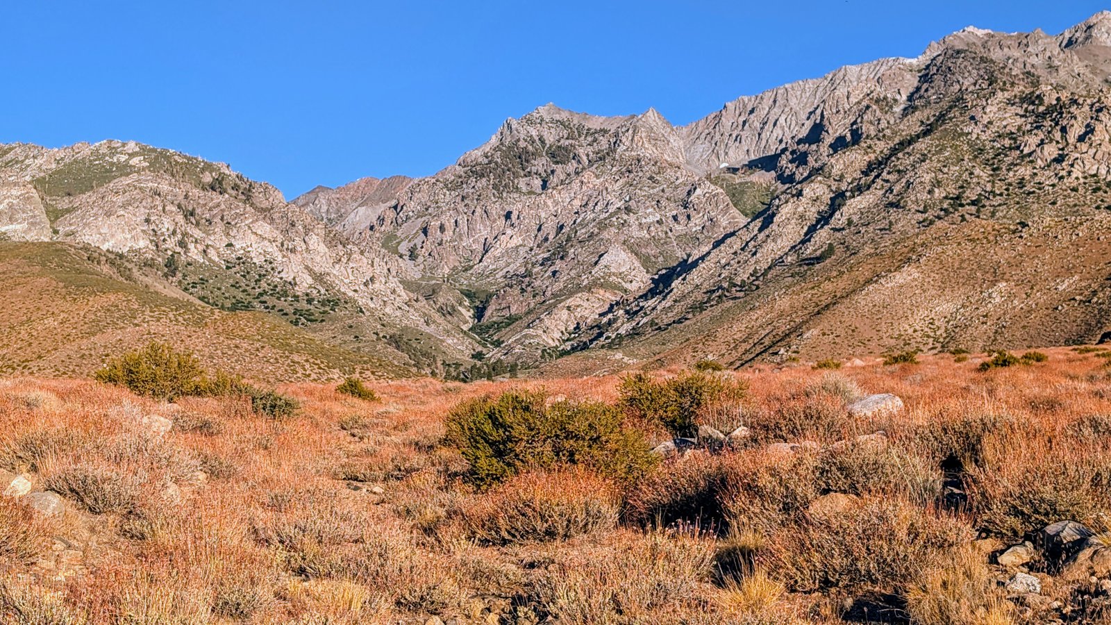
I have read that people recommended pants instead of shorts for this trail. But it was easy peasey up to the first creek crossing. I stopped for a long break to enjoy the cool oasis.
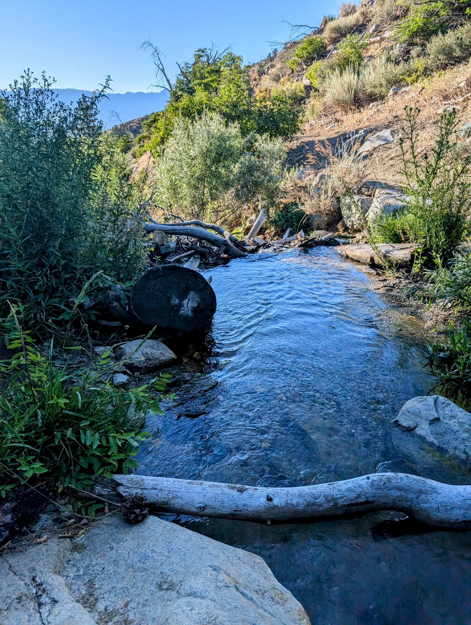
I got a little lost in the jumble of talus at the first crossing of North Fork Oak Creek.
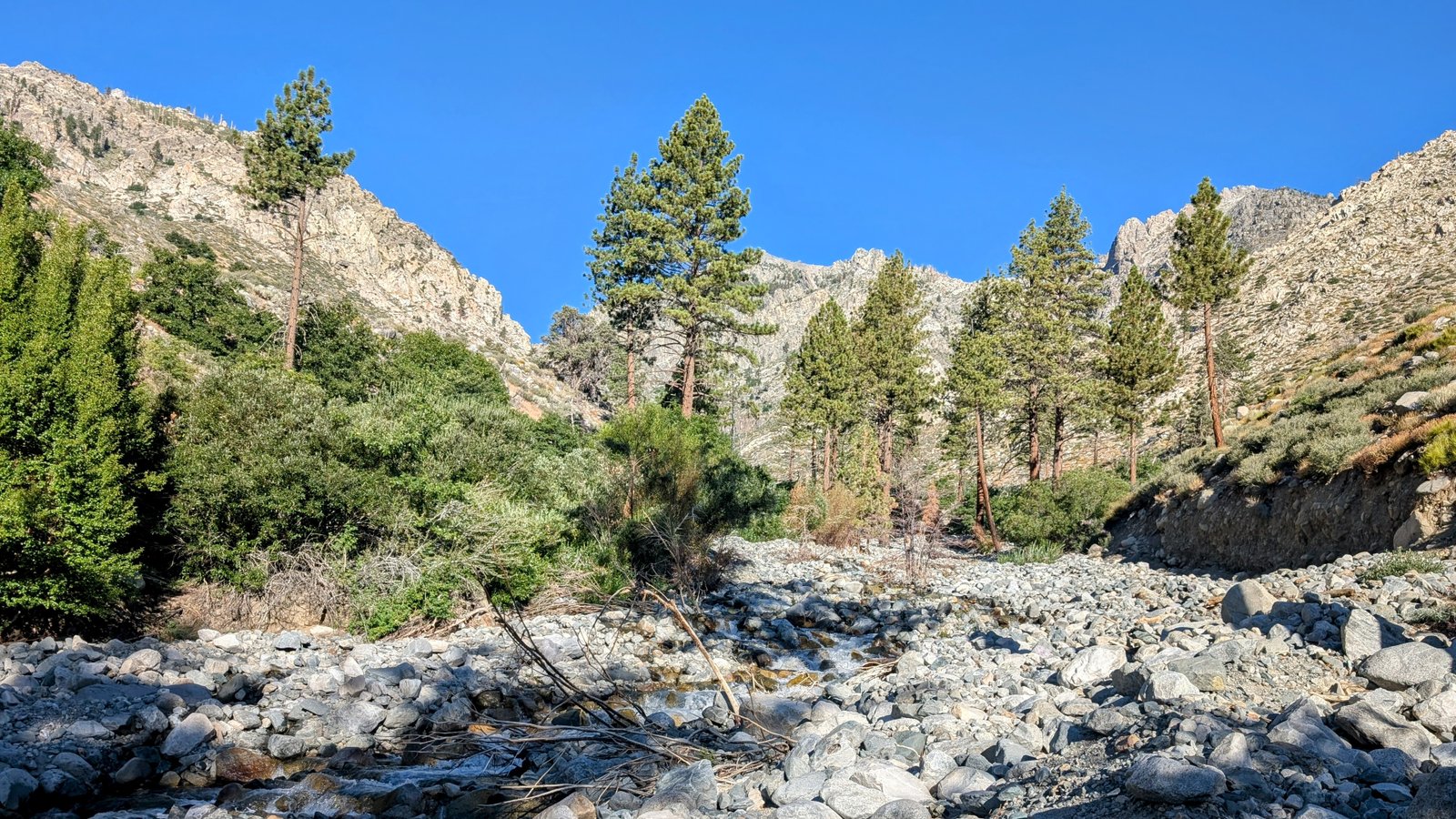
But after a shoes-off crossing I quickly found the switchbacks leading to a high traverse on the southern canyon walls.
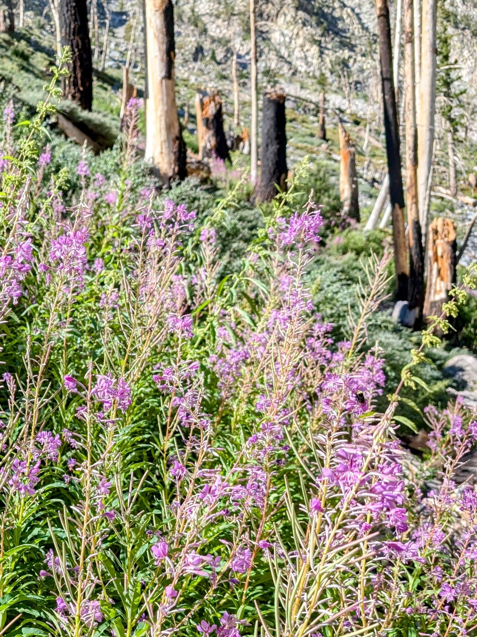
After the second crossing of North Fork Oak Creek, the trail got A LOT more challenging. I do not think there has been any maintenance on this part of the trail in several years and it is completely overgrown with willows and white thorn. I could always eventually find the cut, but it was scratchy in my shorts!
After the crossing I headed straight up a steep slope and then swam in white thorn for 100 feet to get back to the cut.

I was hoping to find a nice place for a break at Summit Meadow but I did not see any established sites between the brush and the talus.

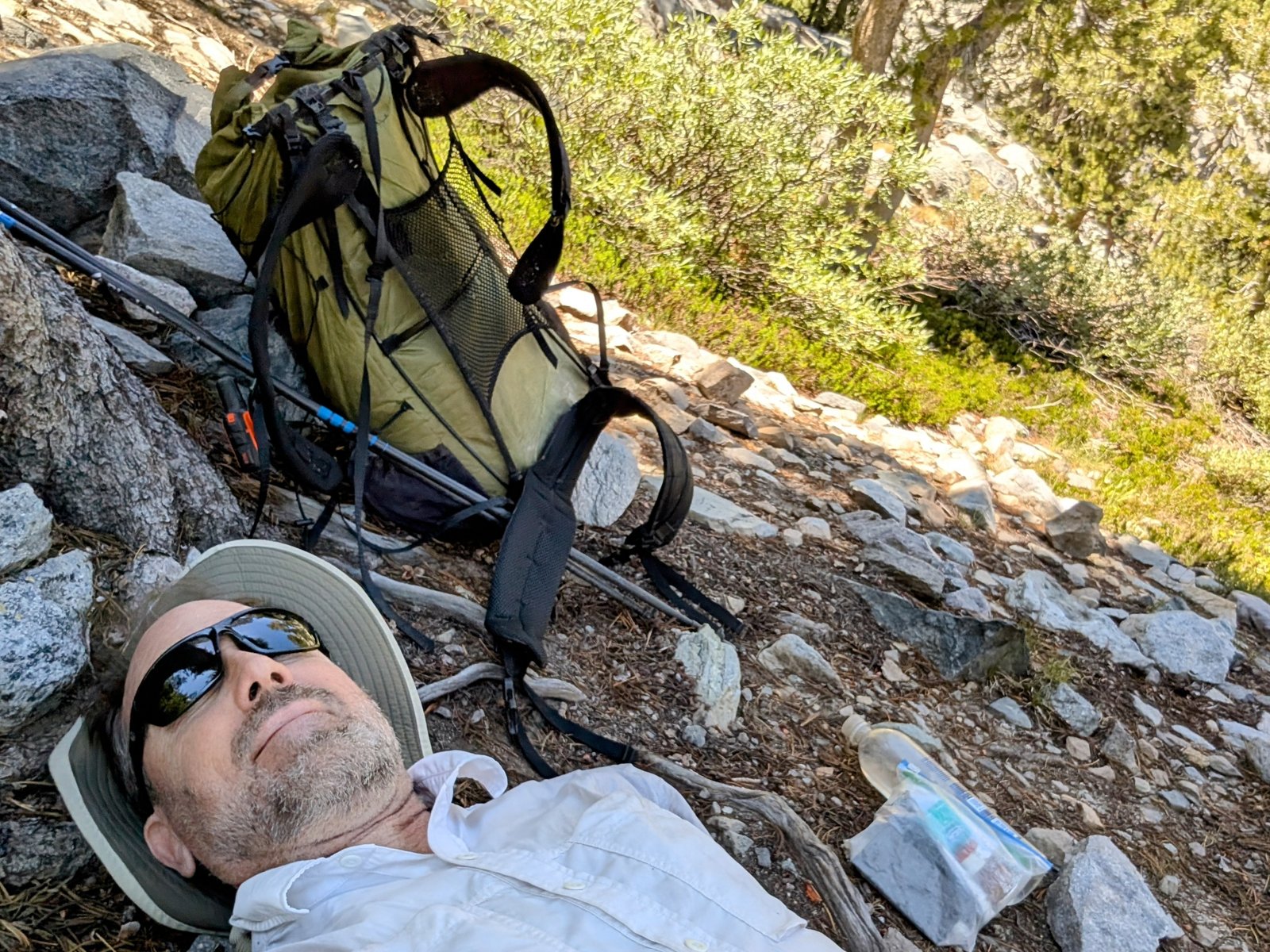
I kept climbing. It wasn’t until I found the established campsites at 10,600 feet (well above Summit Meadow!) that I found a comfortable place to take a nap.
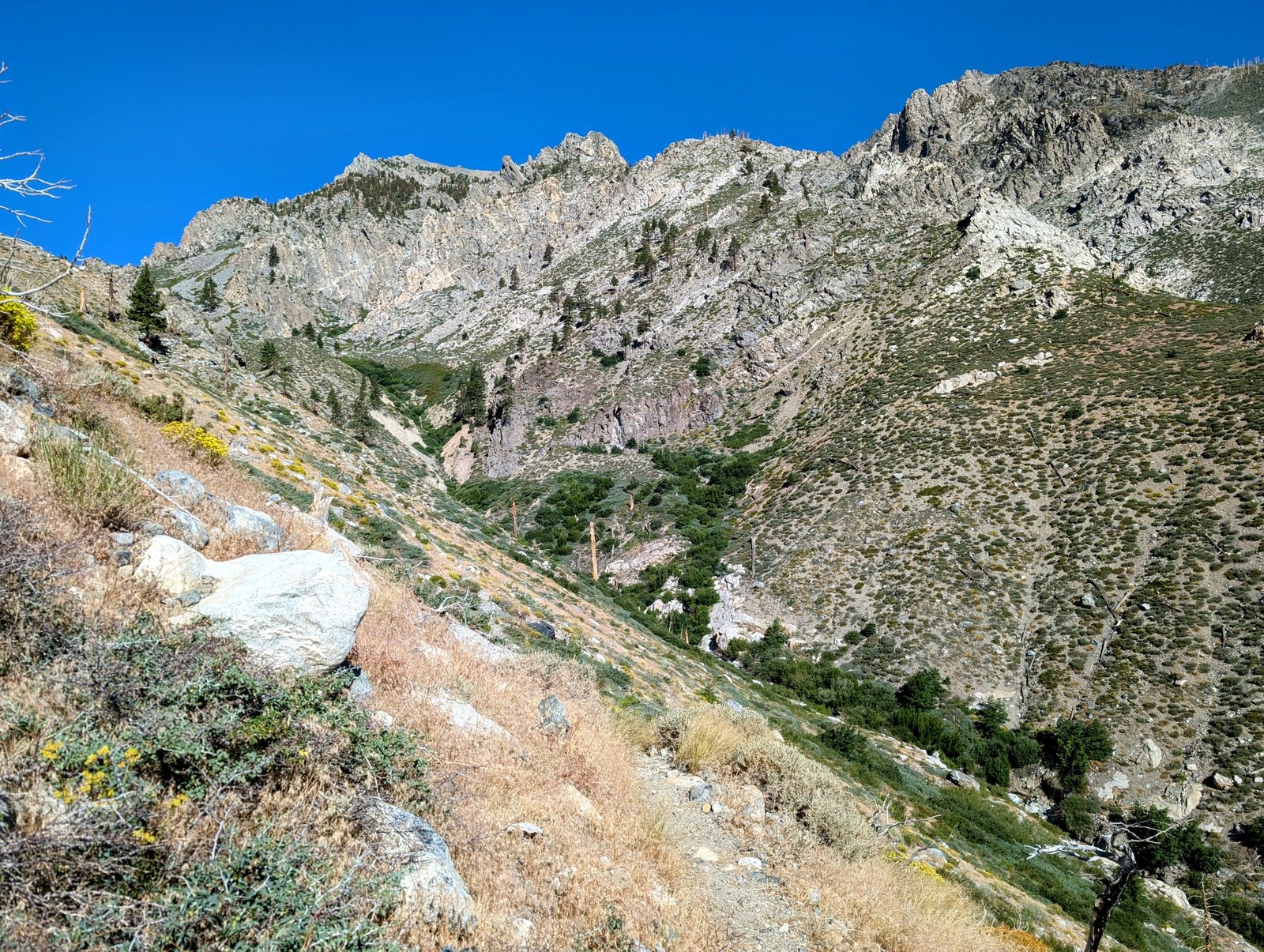
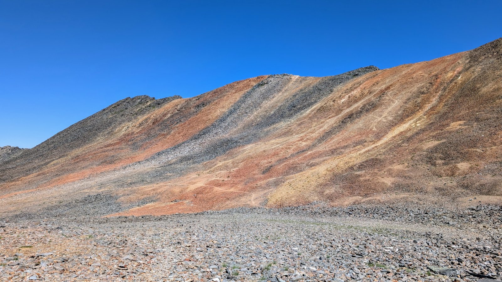
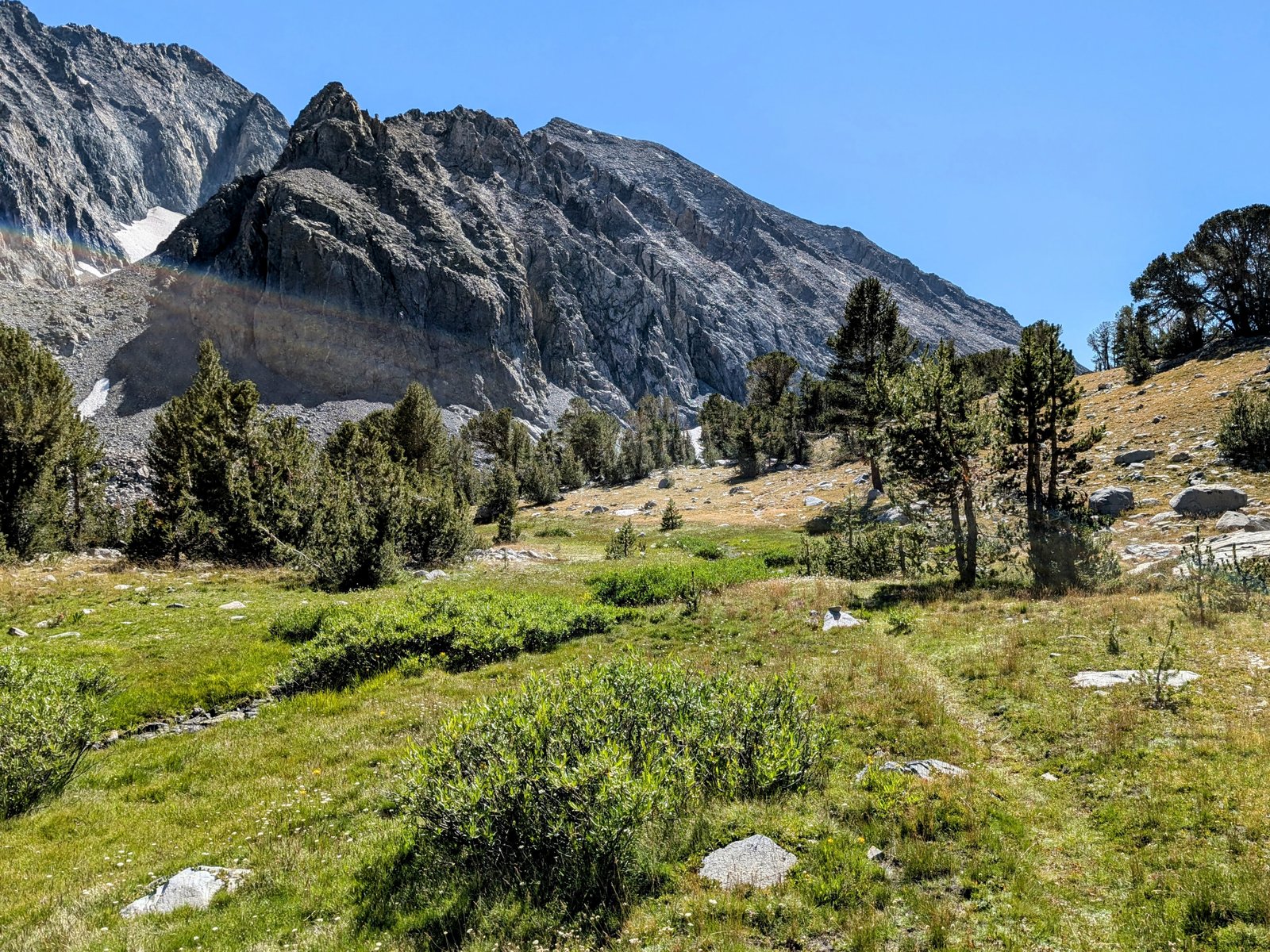
Once I got above treeline the trail improved a lot and was easy to follow.
I got a little worried when I mistakenly thought I was heading for a cliff. But the trail turns north into gentler land.
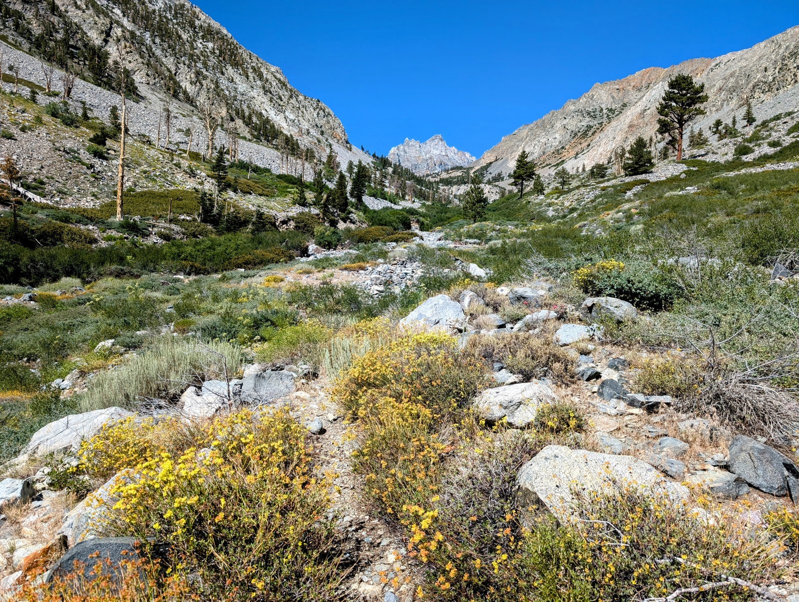
And a lovely feature that followed me all day was Mount Mary Austin, named after the author of one of my favorite books, The Land of Little Rain.
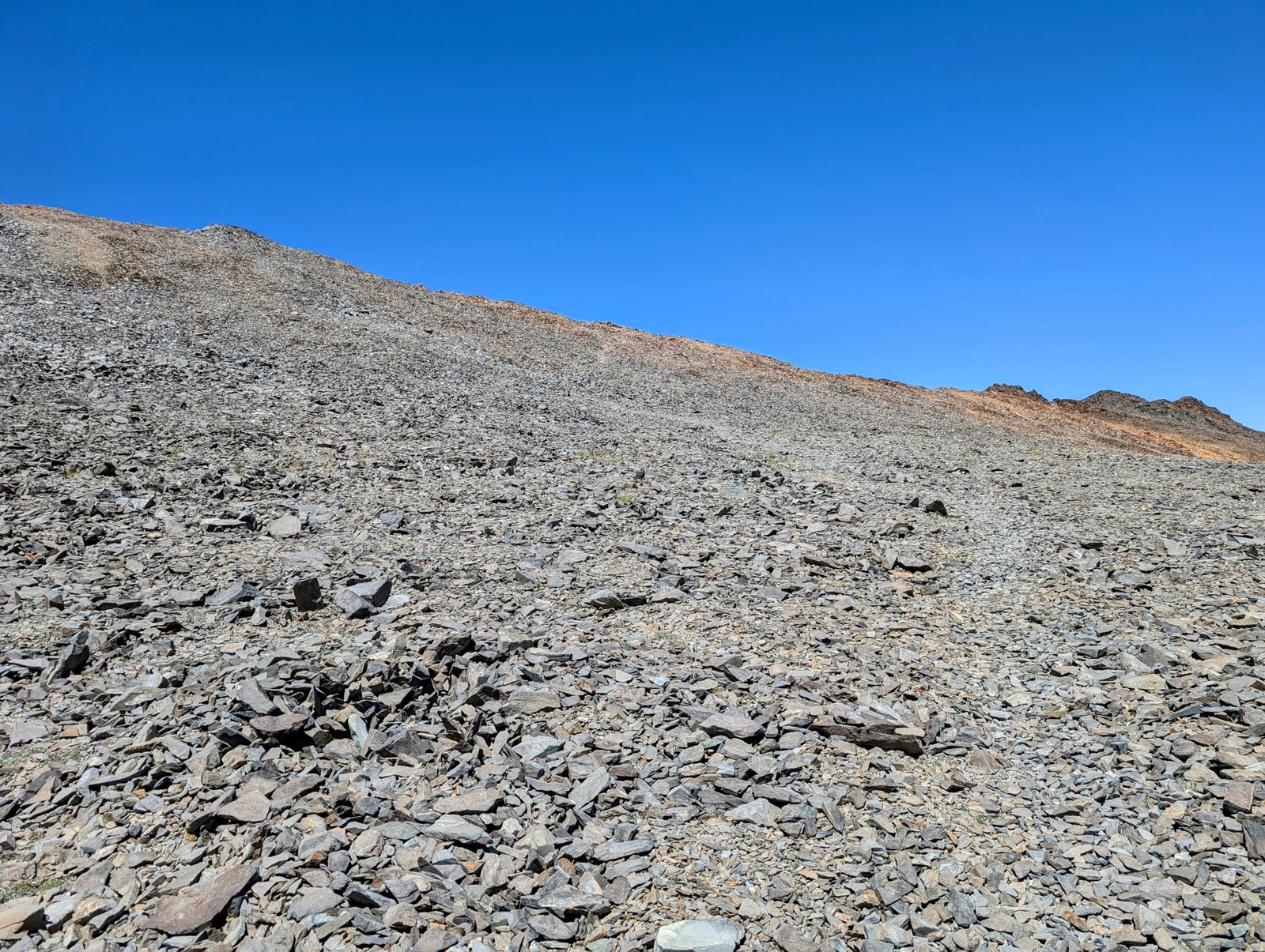
At 2:22pm I was finally done with my 8,000 foot climb. I mused aloud: “Never again!”

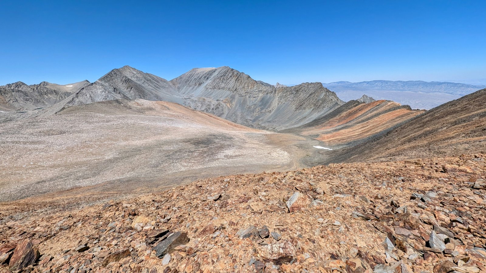

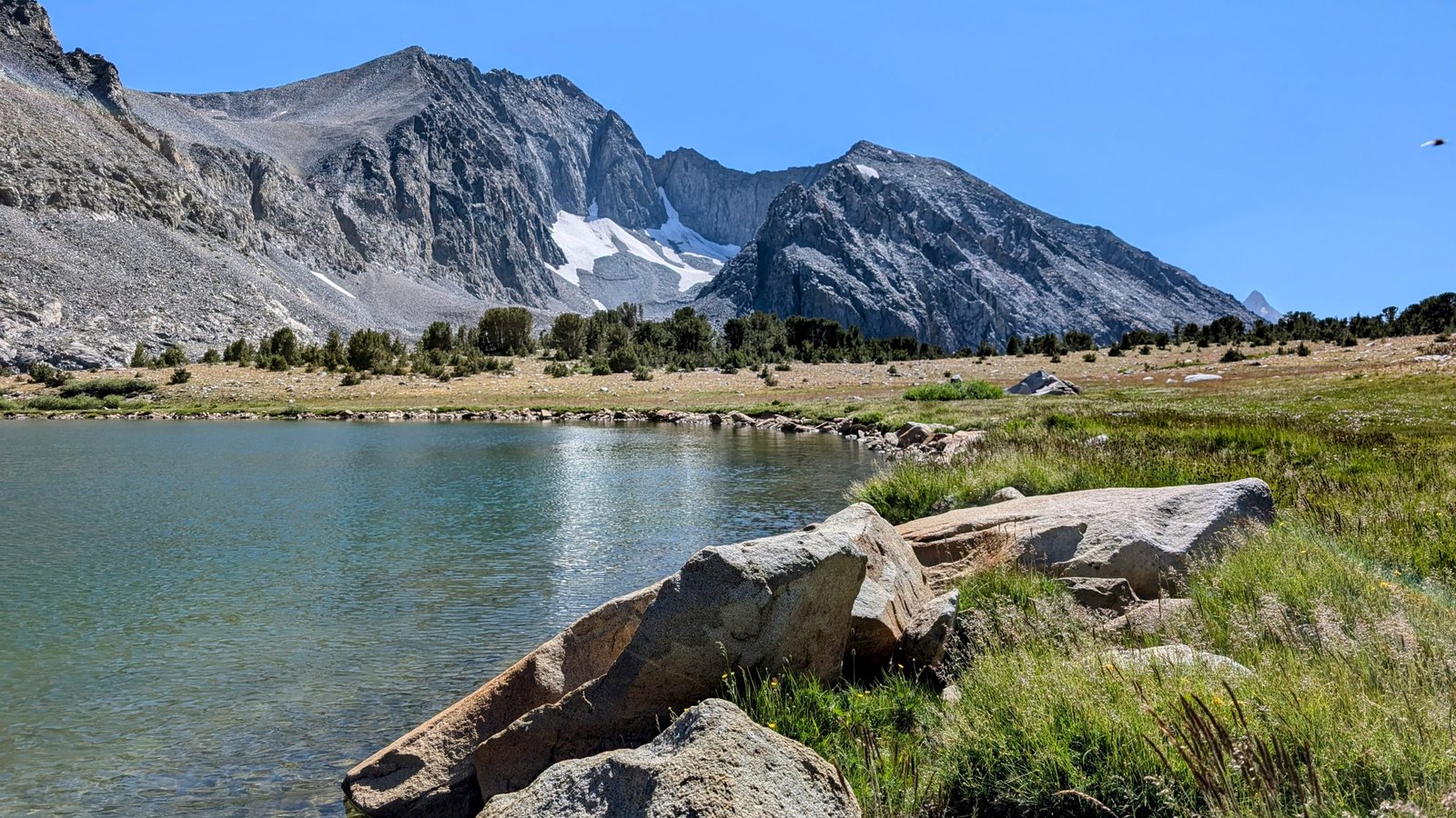
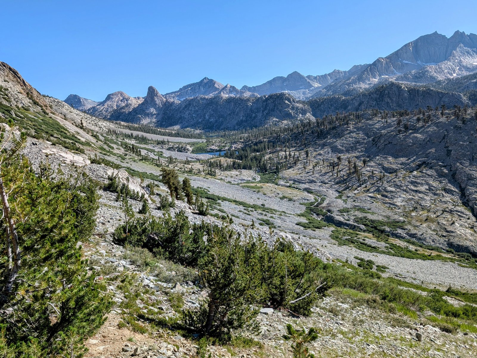
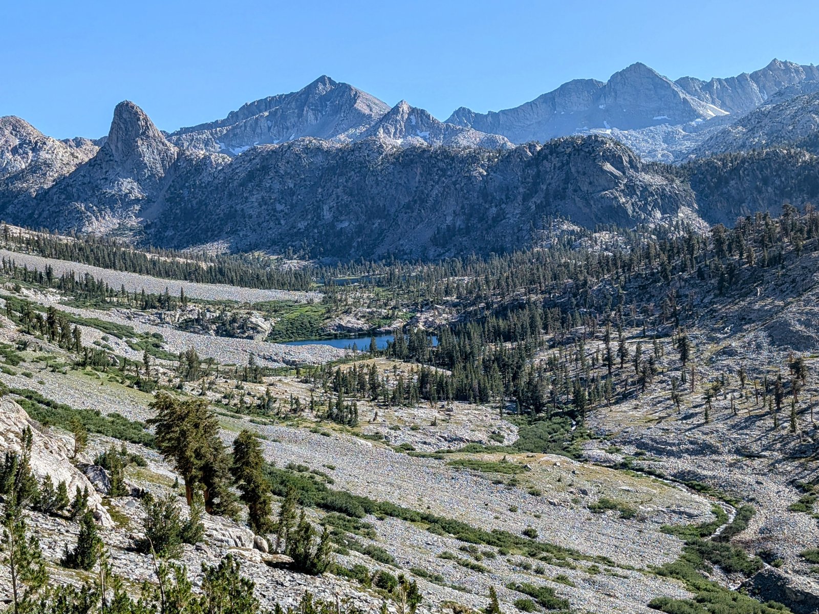
I was exhausted, but absolutely elated to be descending into the gorgeous basin above Baxter Lake

The trail tended to disappear a bit on the way down above the lakes, which worried me because I knew I needed to traverse a steep wall above South Fork Woods Creek. But once I reached the cliffs I found the trail again and it was easy to follow all the way to Dollar Lake.
I worried a little about the stream crossing, but it was a straightforward rock hop.
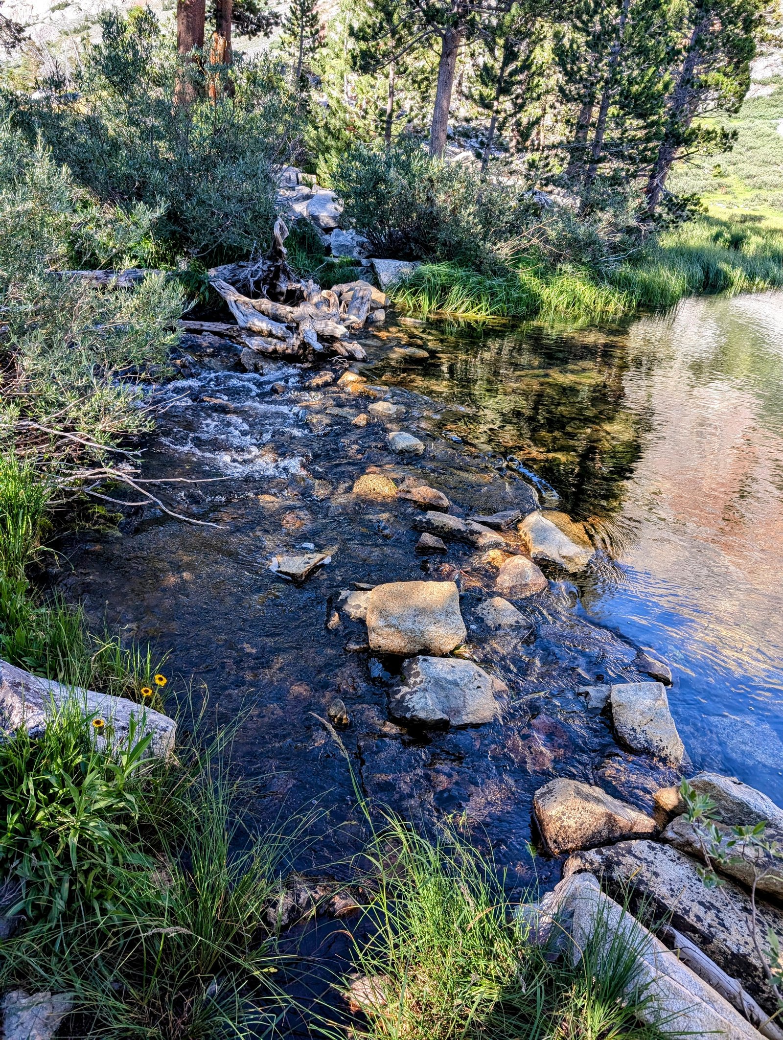
Shortly after crossing I found an established campsite that was thankfully protected from the wind.
I was cooked, but somehow I managed to make camp and eat before collapsing into my tent.
