28 July 2024
Dollar Lake to Gardiner Pass
(15 miles, +4,100/-3,700 feet).
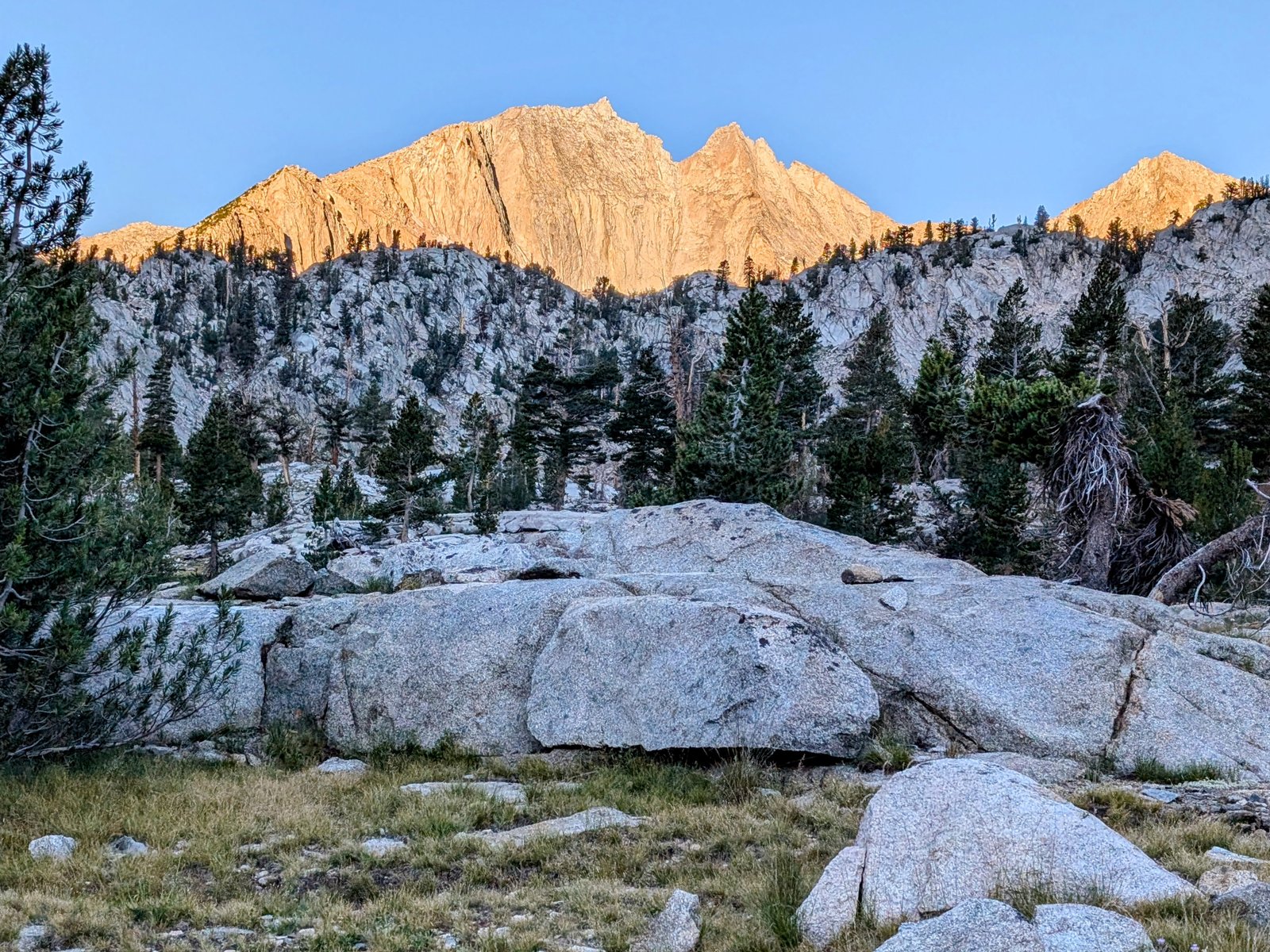
Oy vey! Today was REALLY hard. Objectively, it wasn’t that different from a typical on-trail-then-off-trail day on the Sierra High Route, but my body is still wiped from my 8,000 foot climb yesterday.
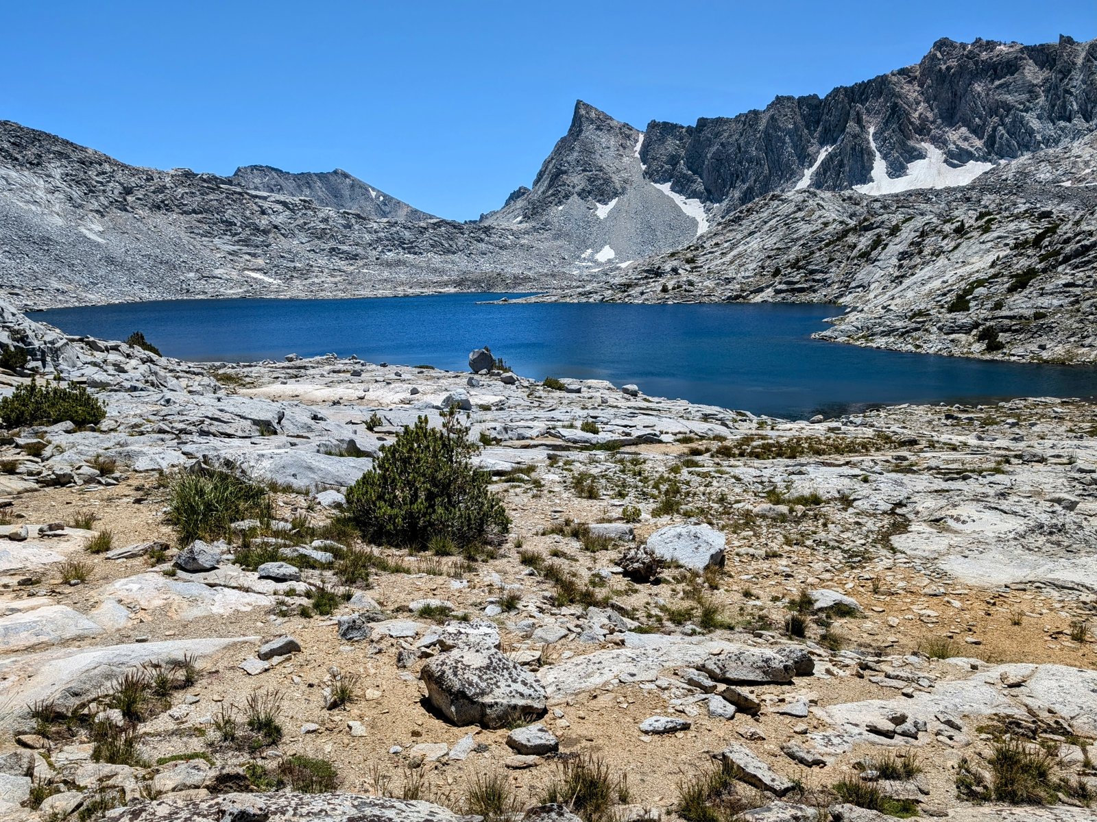
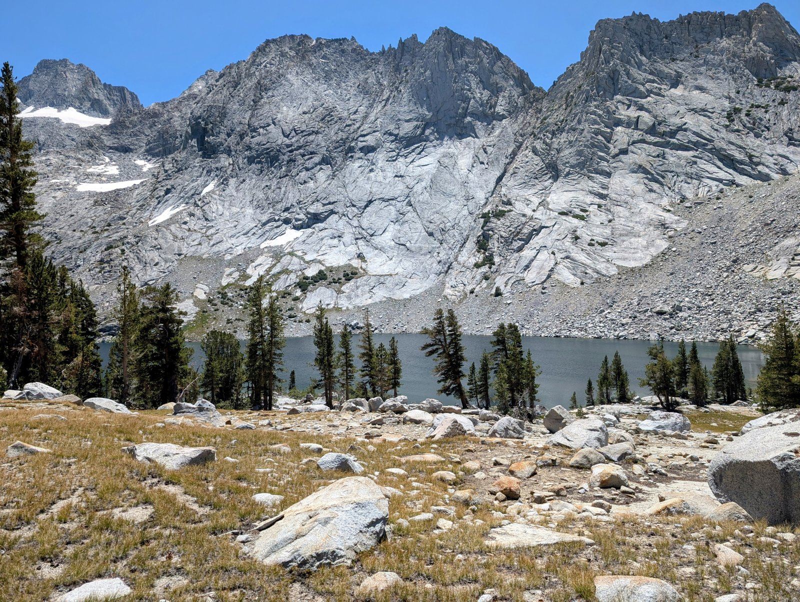
At least I was fortunate to start slow, meandering through one of the most beautiful places in the Sierra: the Rae Lakes basin.
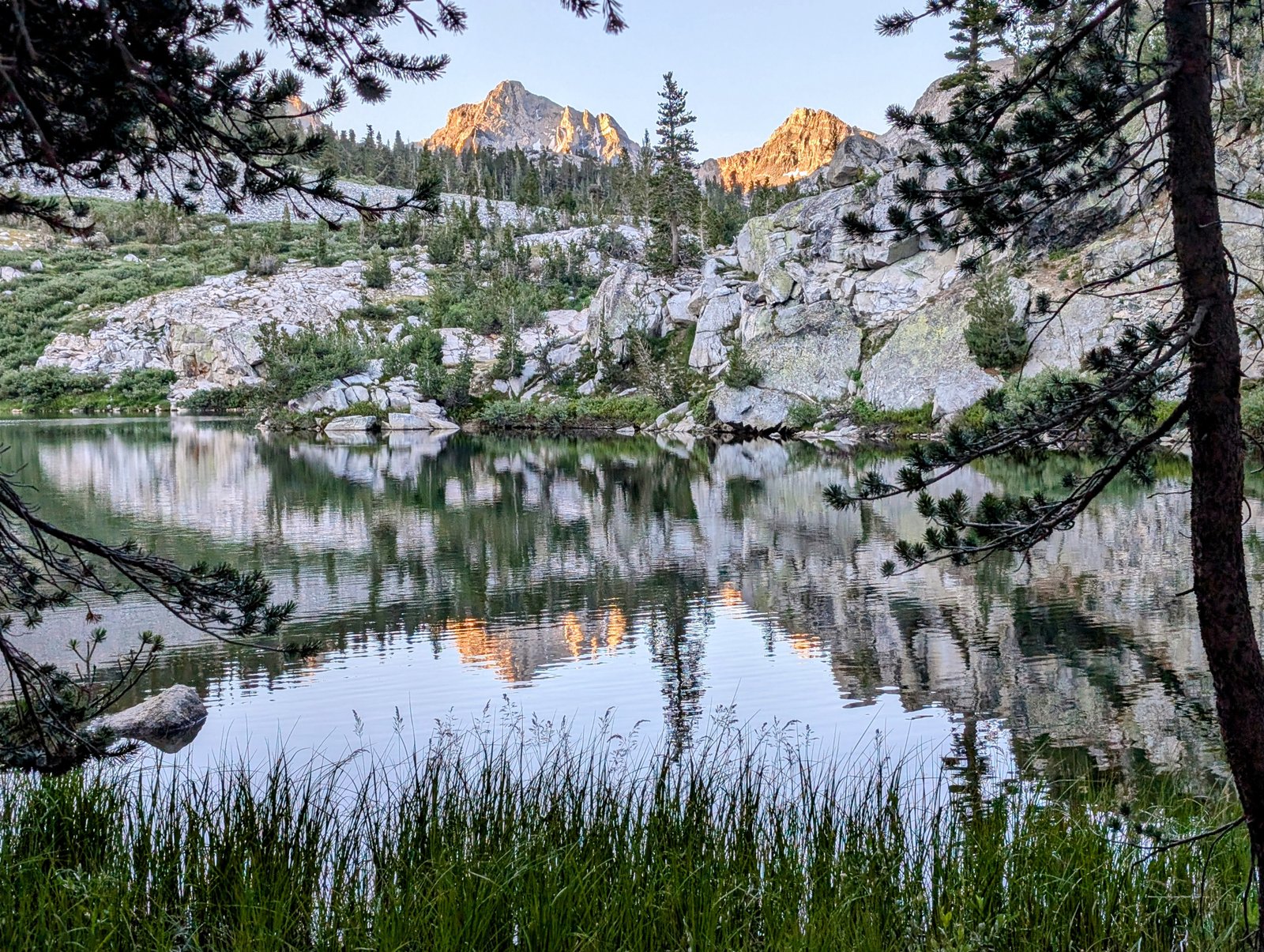
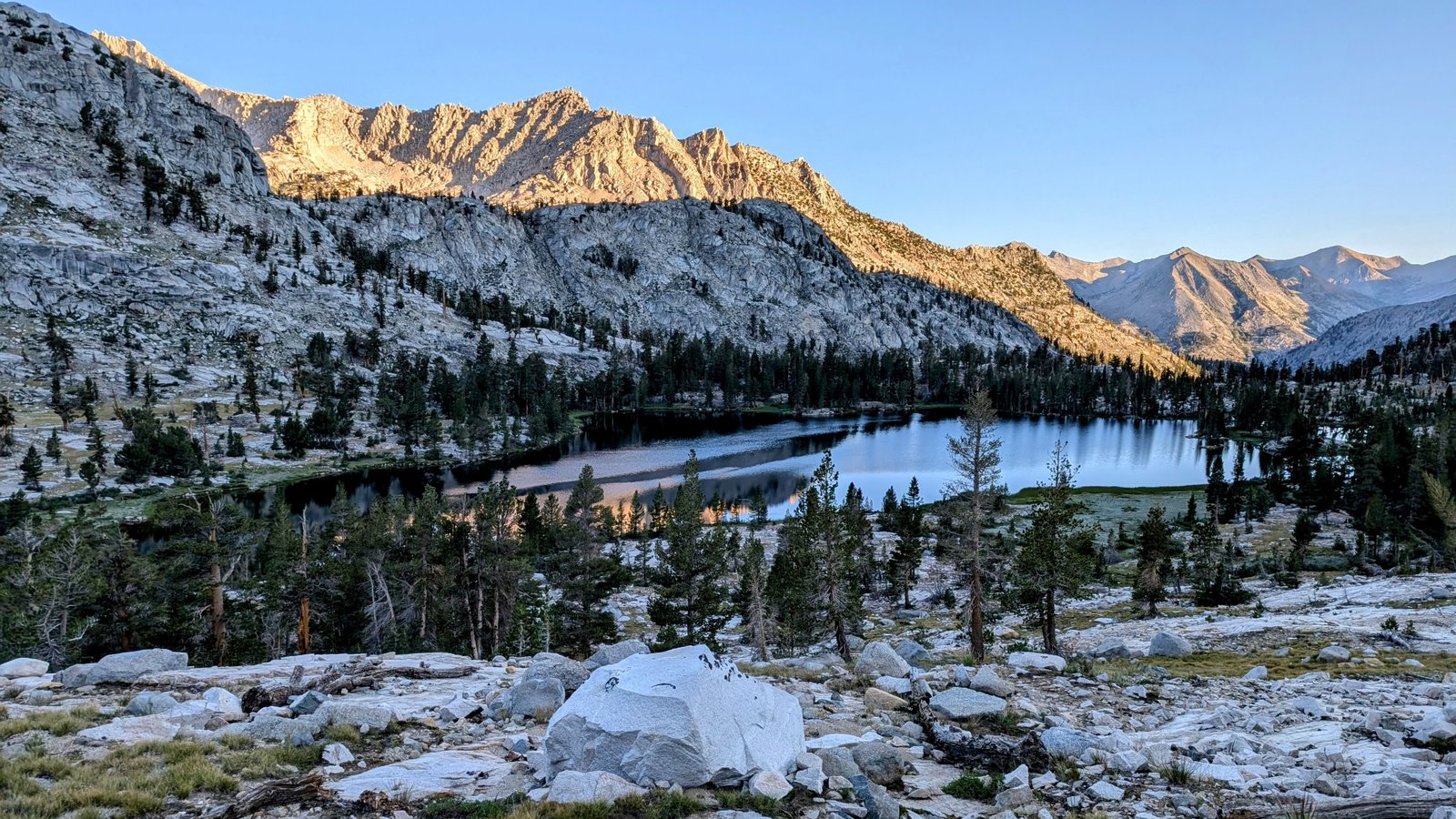
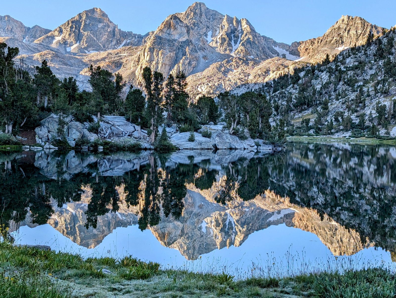
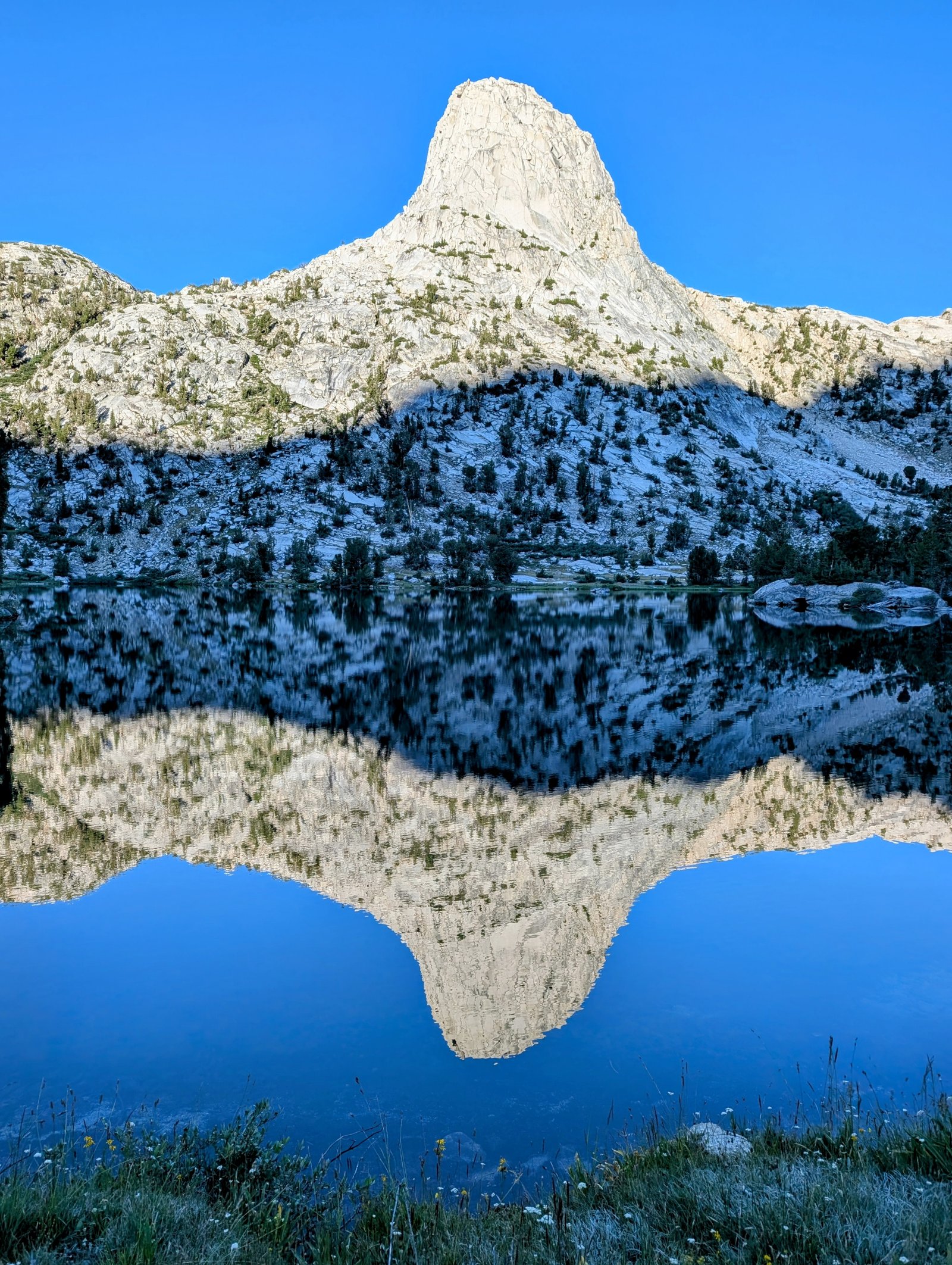
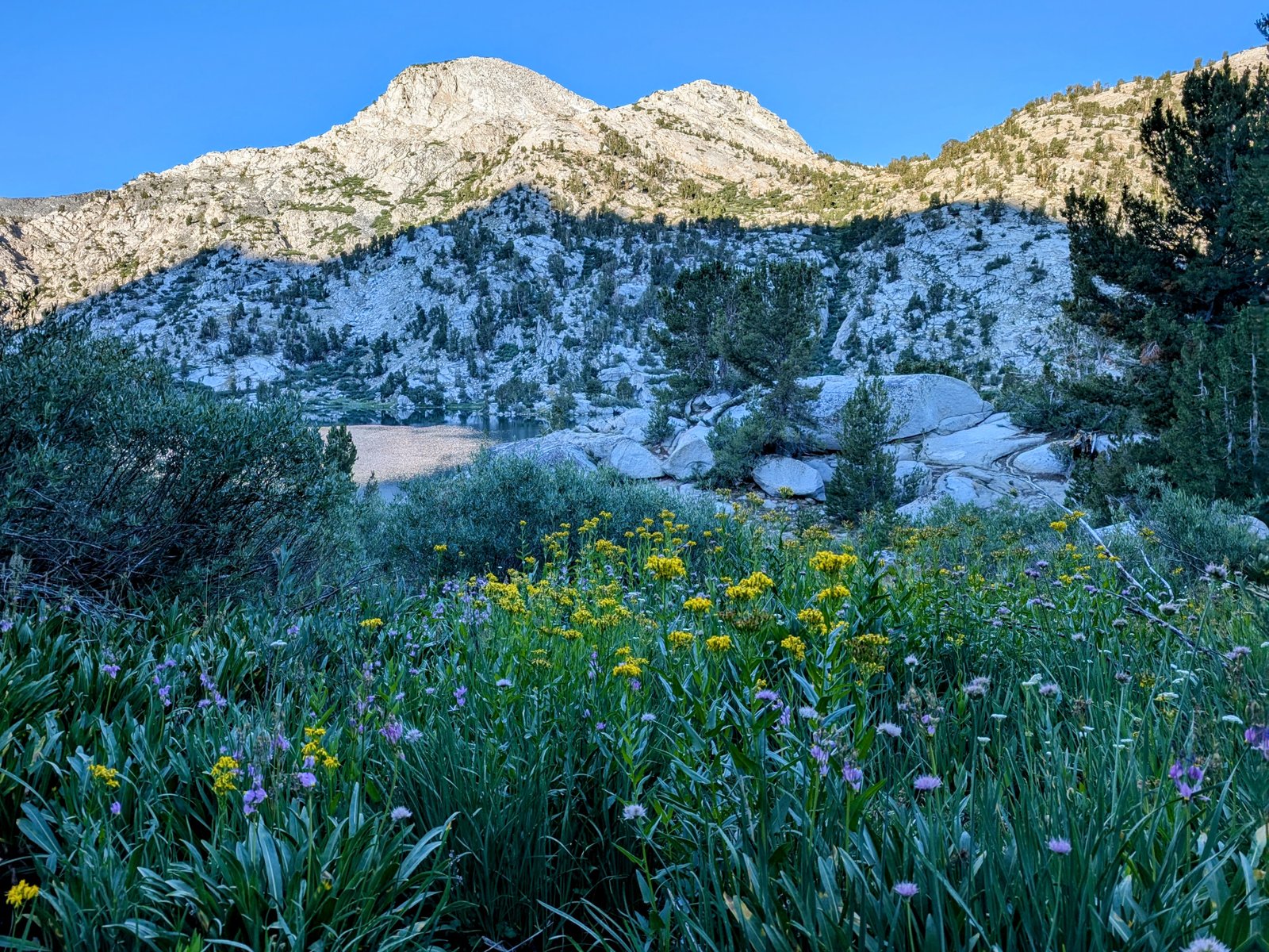

I made my way through Middle and Upper Rae Lake and then turned south to take the trail into Sixty Lakes Basin. My first time here!
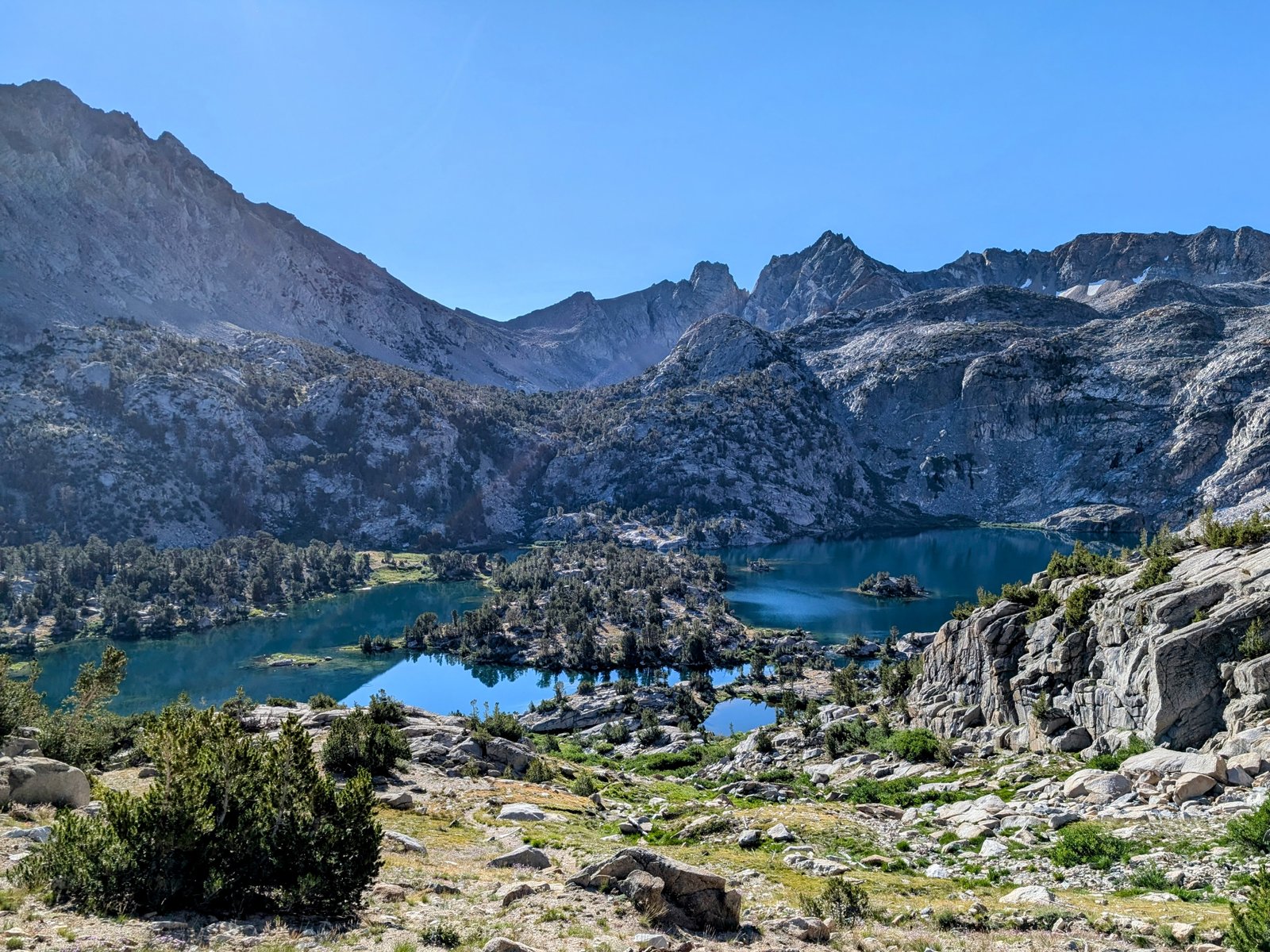

I’m not sure if there are actually sixty lakes up here but there are a lot! And so pretty…. I crossed paths with a couple in their sixties (ha ha). They said they loved it here — just as beautiful as Rae Lakes but so much quieter!
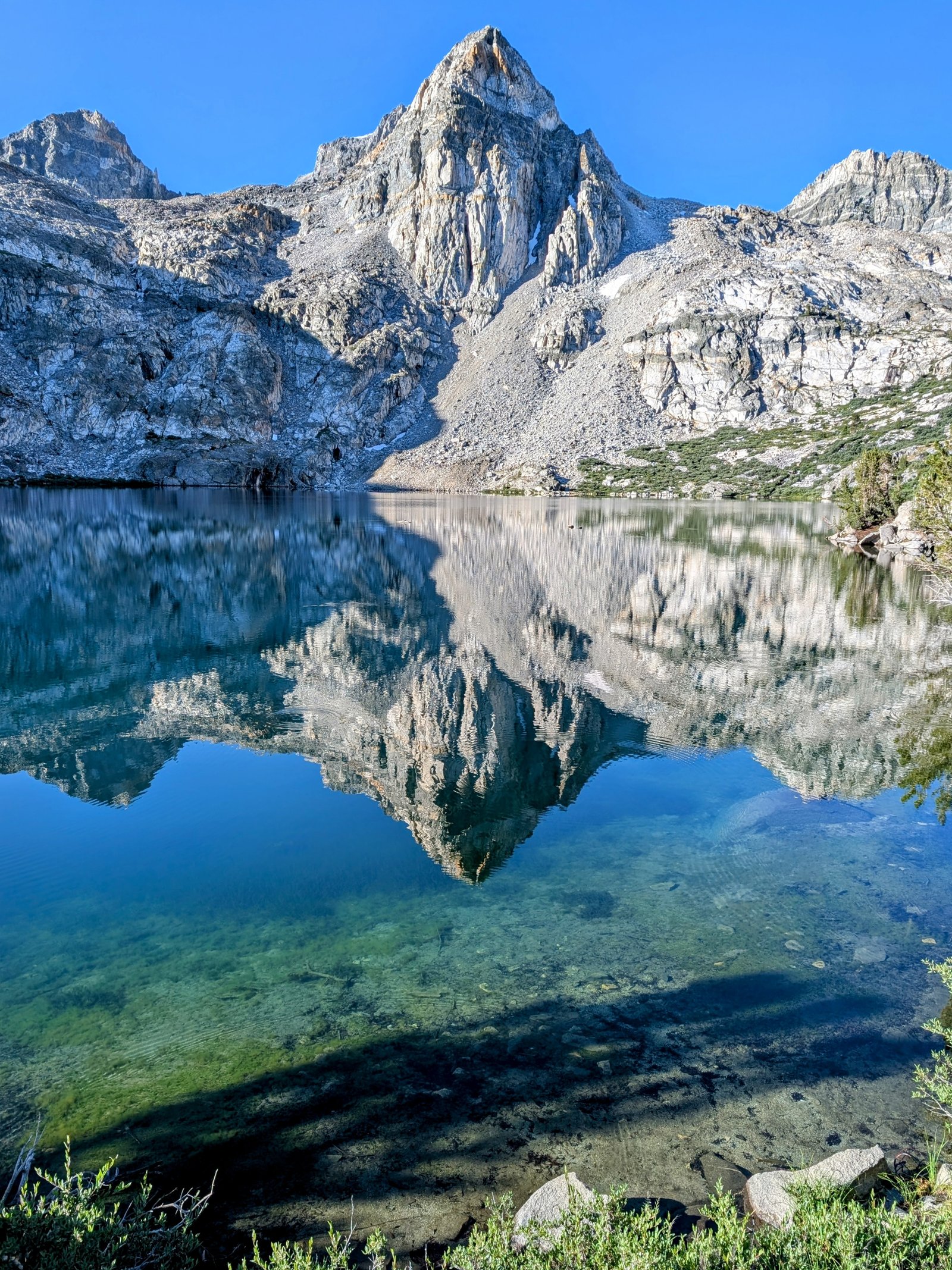
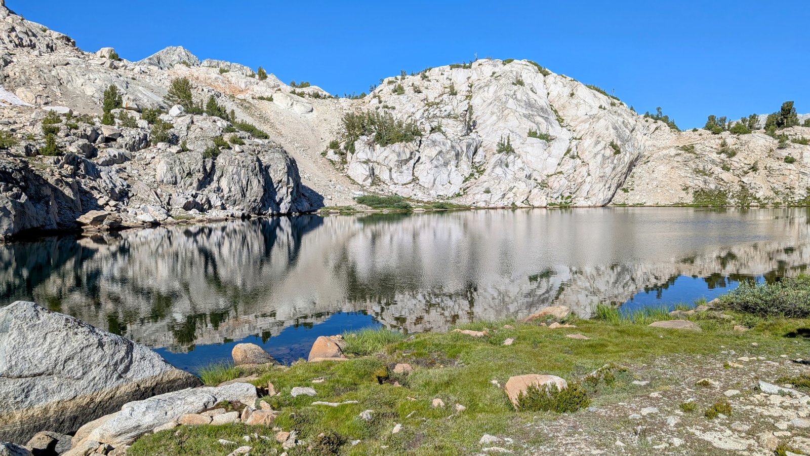
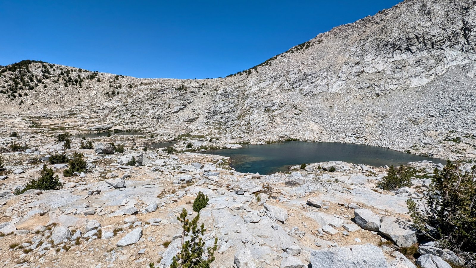
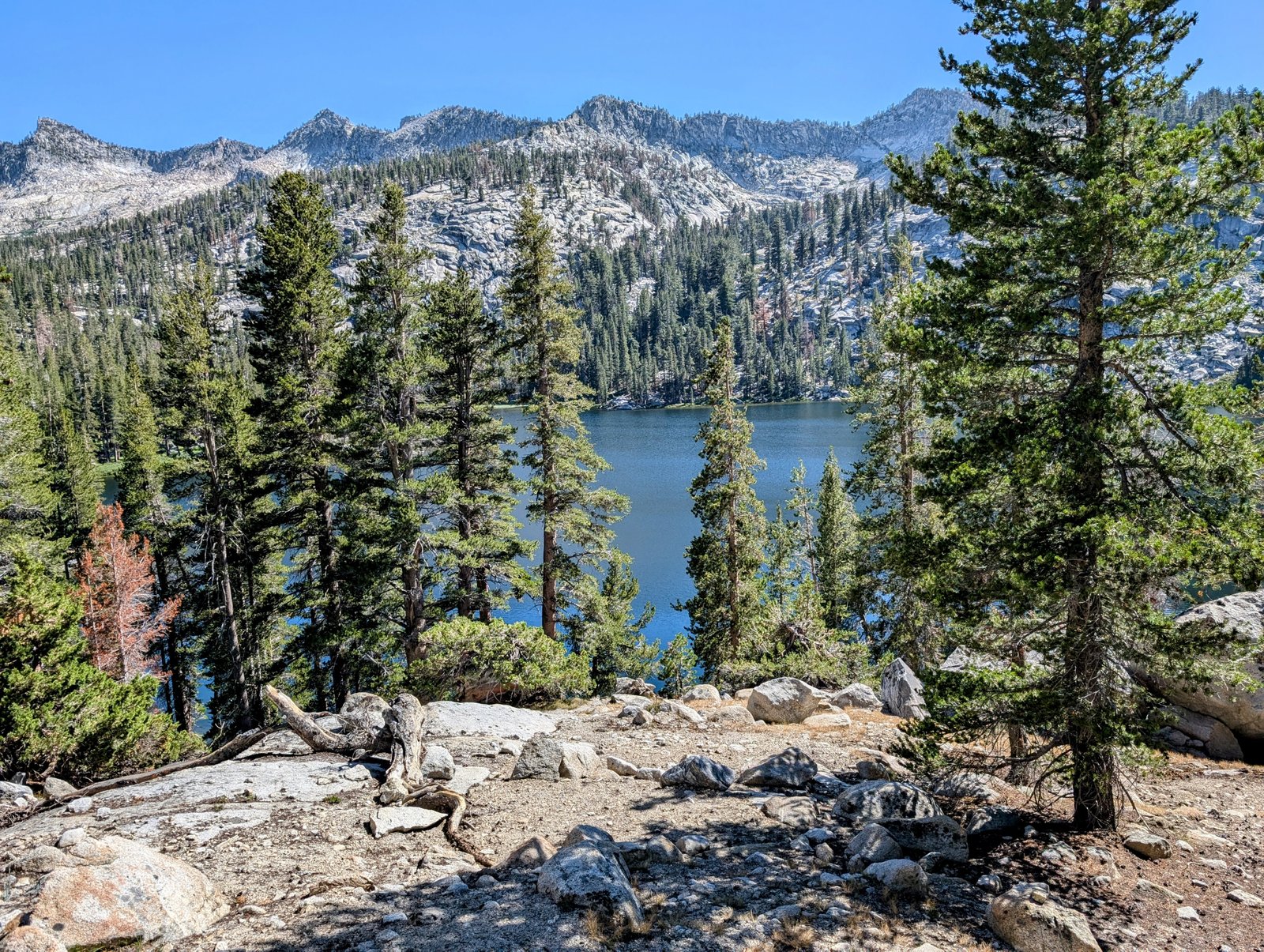
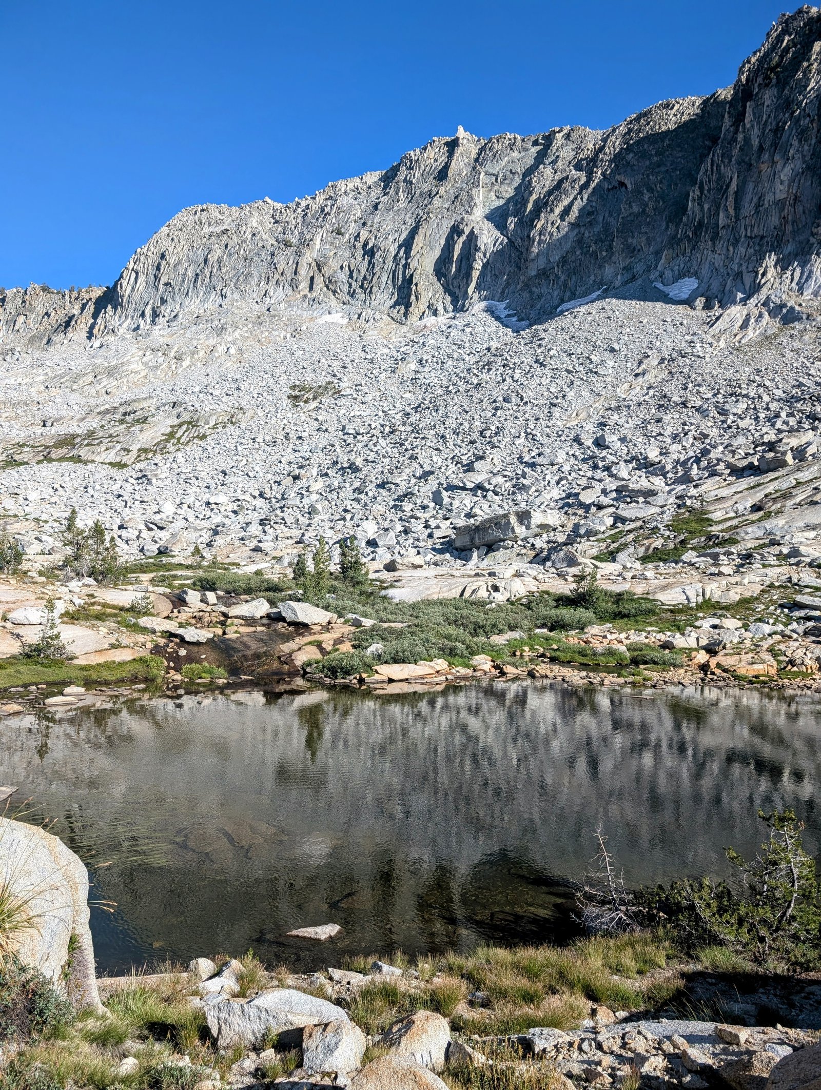
I turned off the trail to head north around Lake 10840.
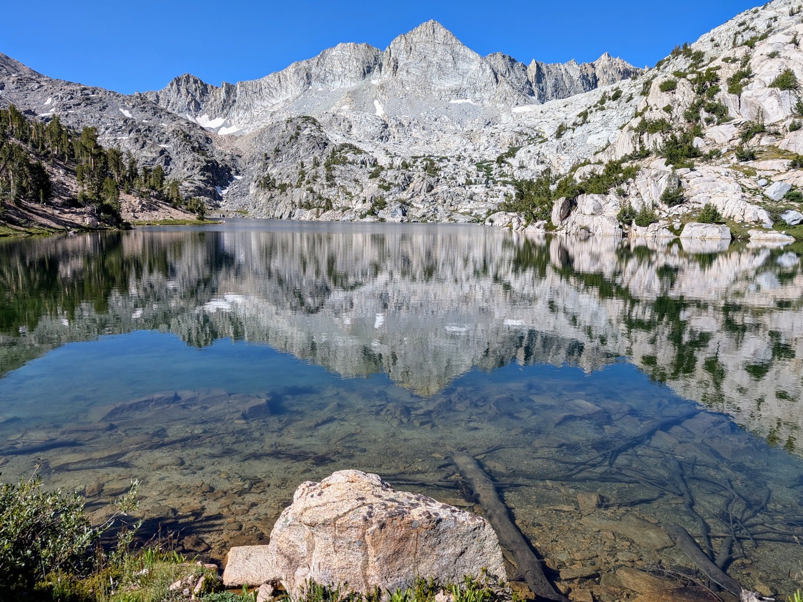
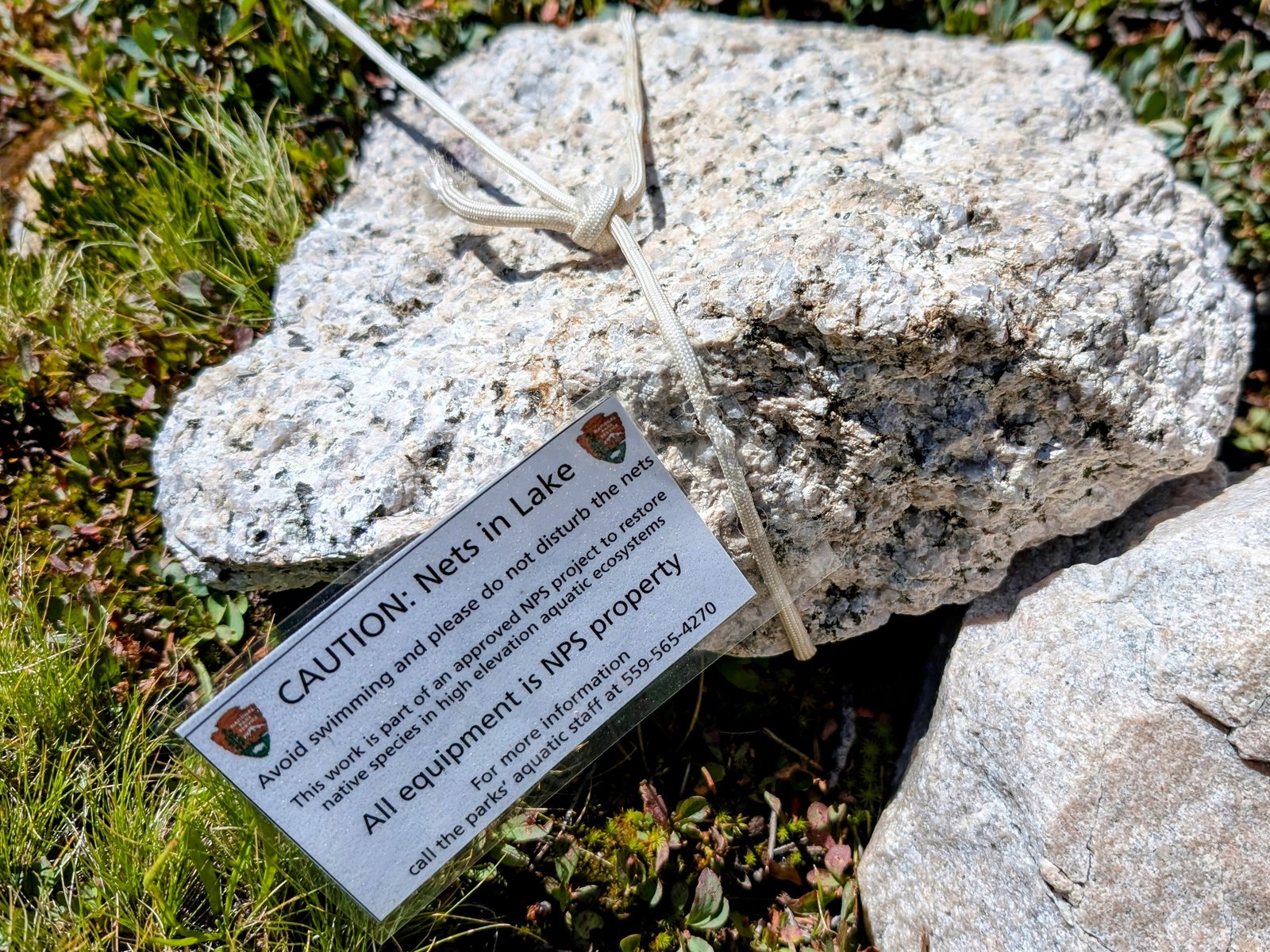
There were fish nets in this lake to remove trout and help restore native frogs.
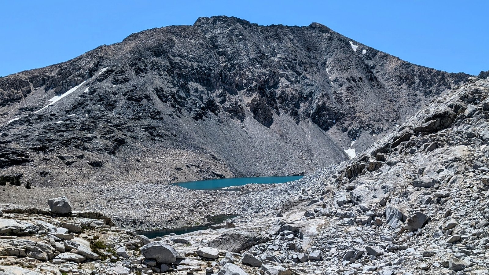
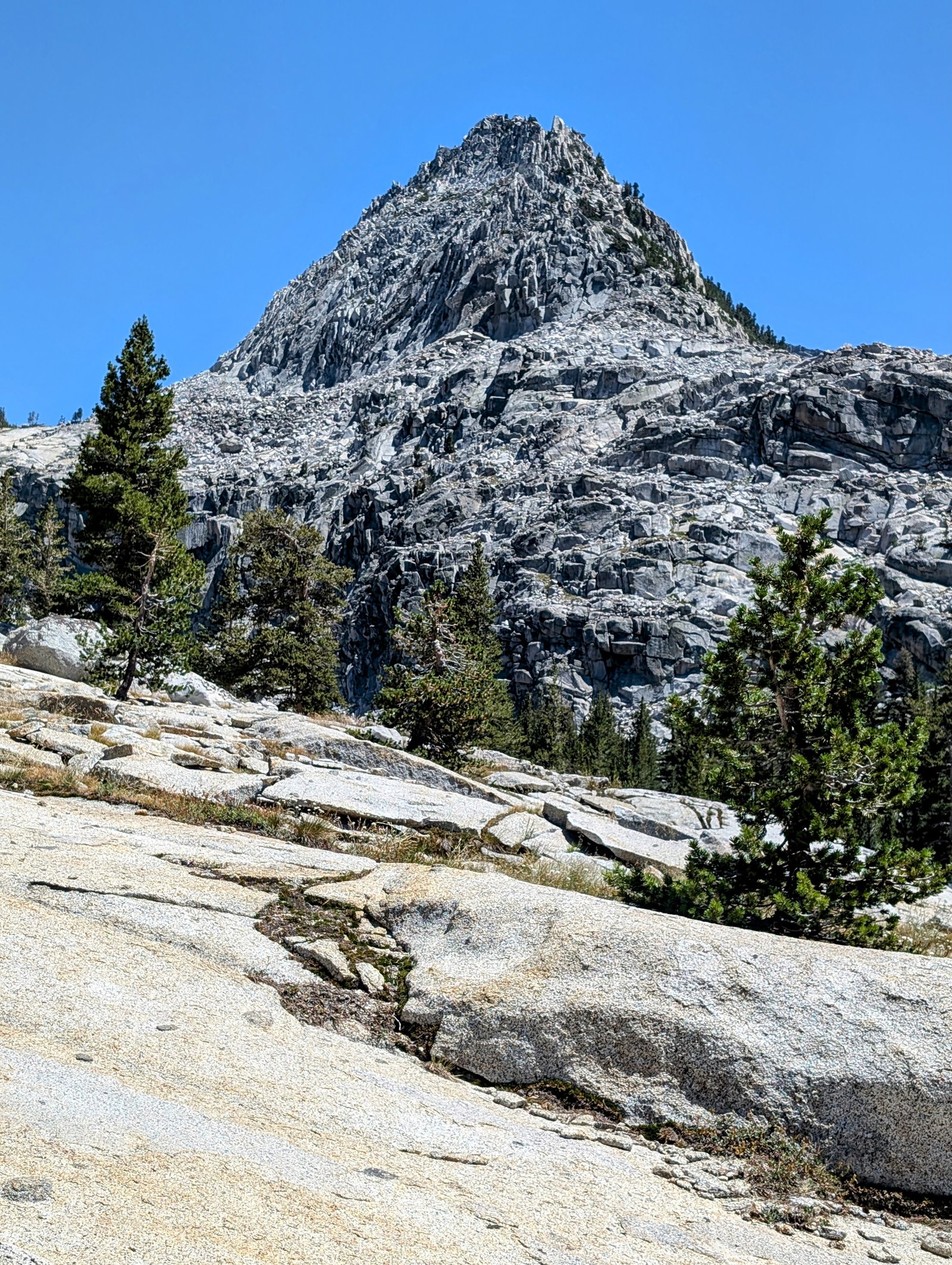
I had to get around Lake 10840 to head up to Sixty Lakes Col, a pass that would take me into Gardiner Basin. But it was quite cliffy around the lake. At one point the only way forward was a short class 3 ledge, but the rest was solid class 2. And I think one could avoid these cliffs by climbing above them to a bench above them, but I did not personally try that.


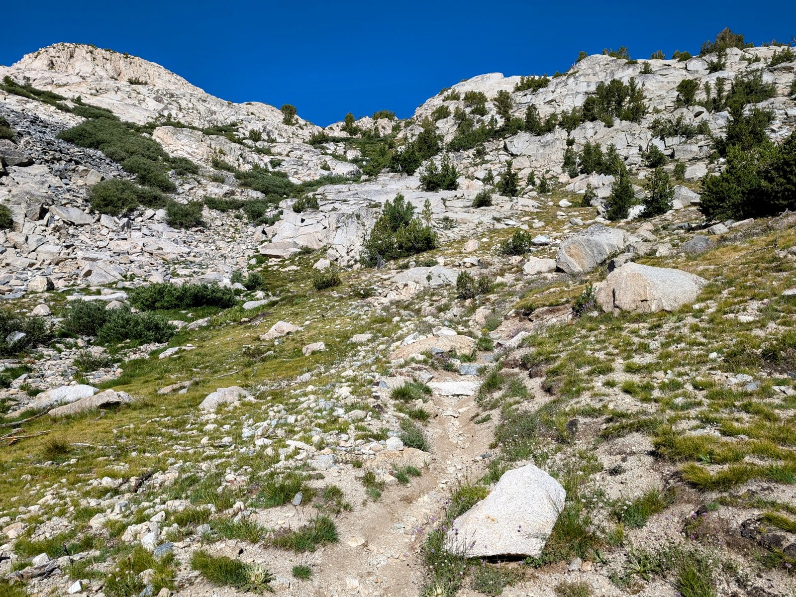
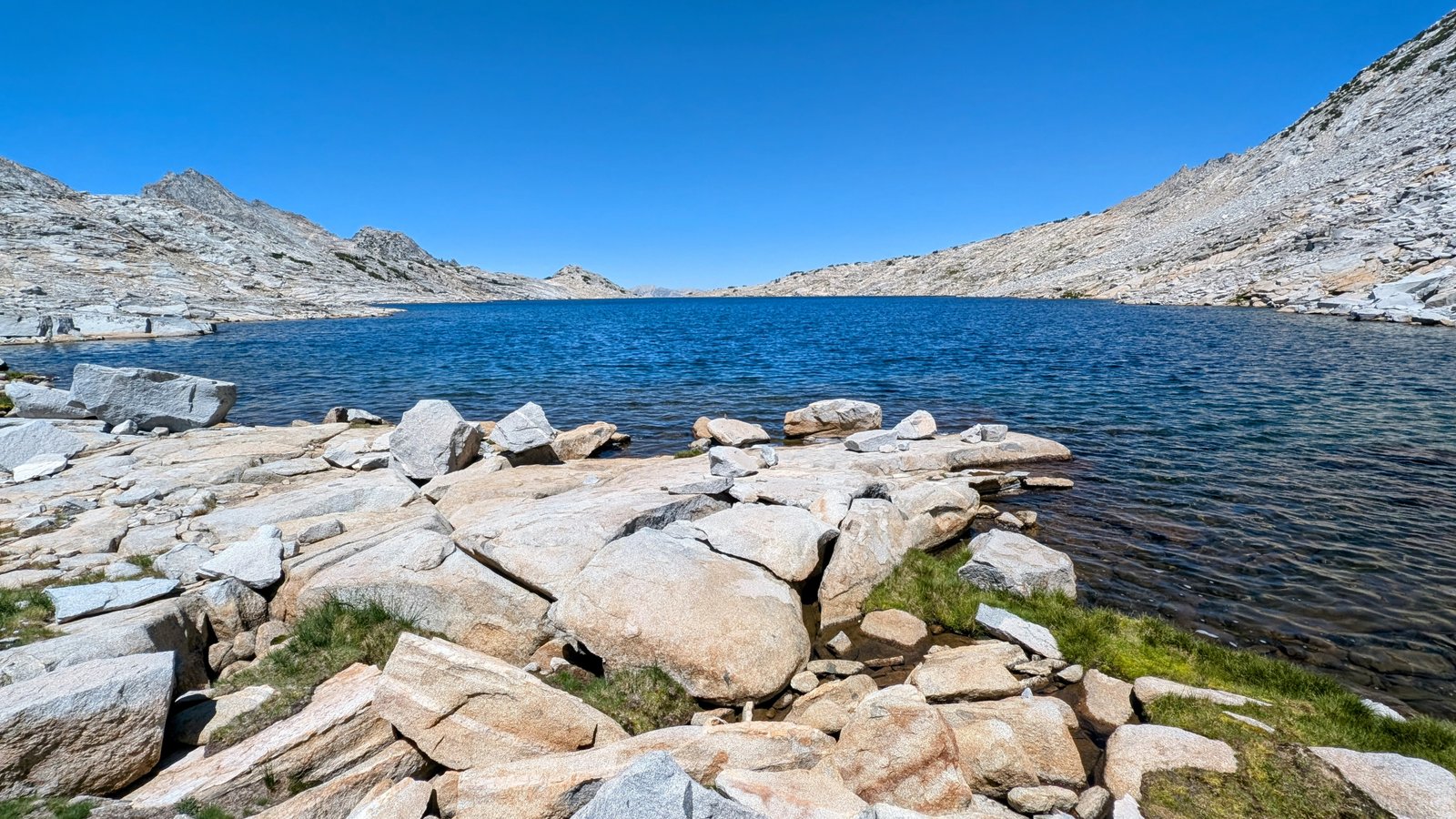
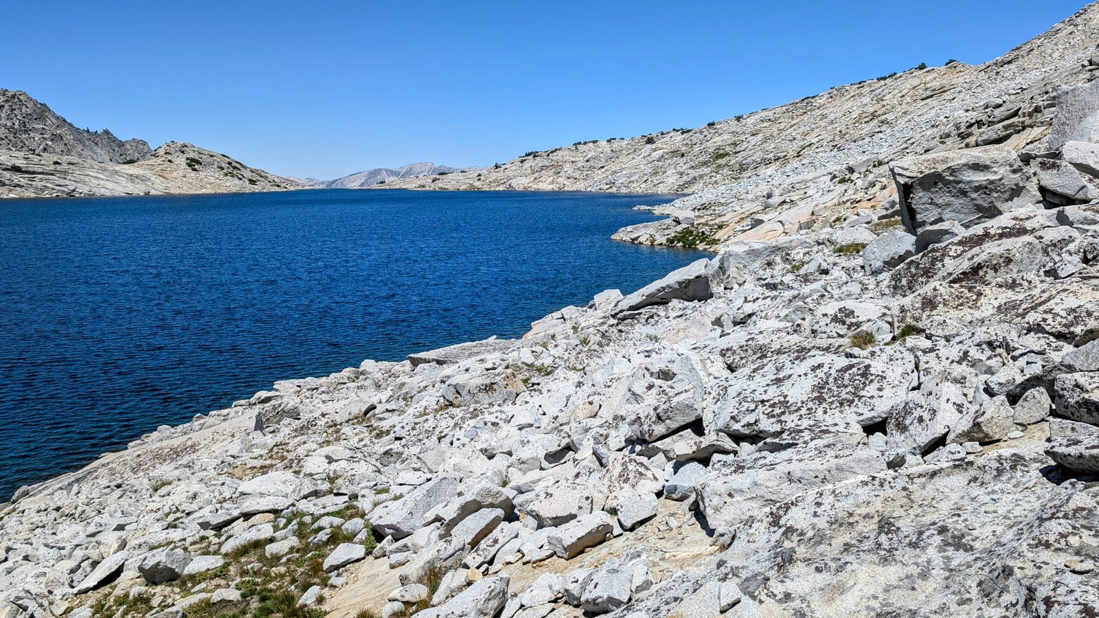
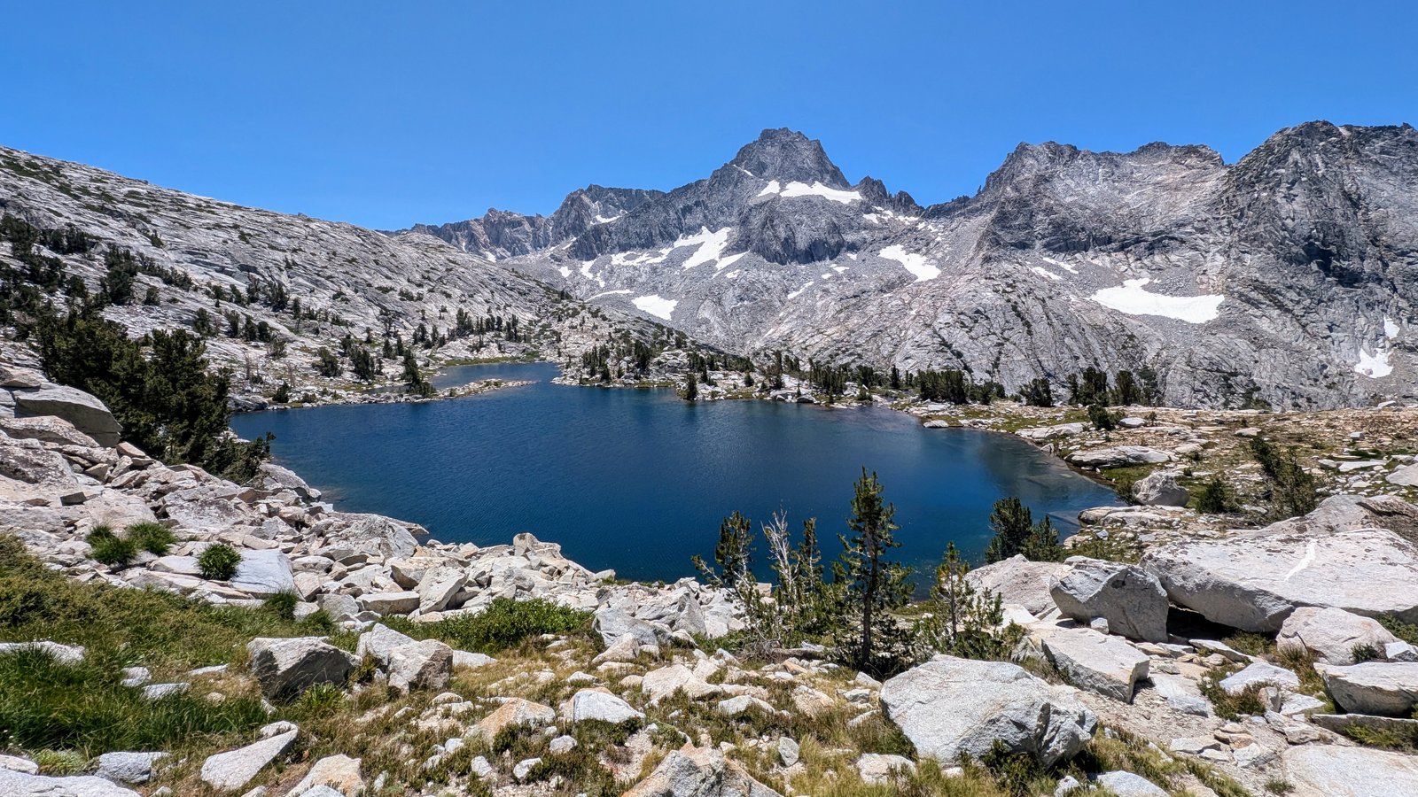
The approach was pretty easy on low angle granite slabs.

When the terrain got steeper, there were grassy ramps leading up to a talus field right below the pass.


I went around the snow field on its southern side and climbed relatively stable talus to the top.


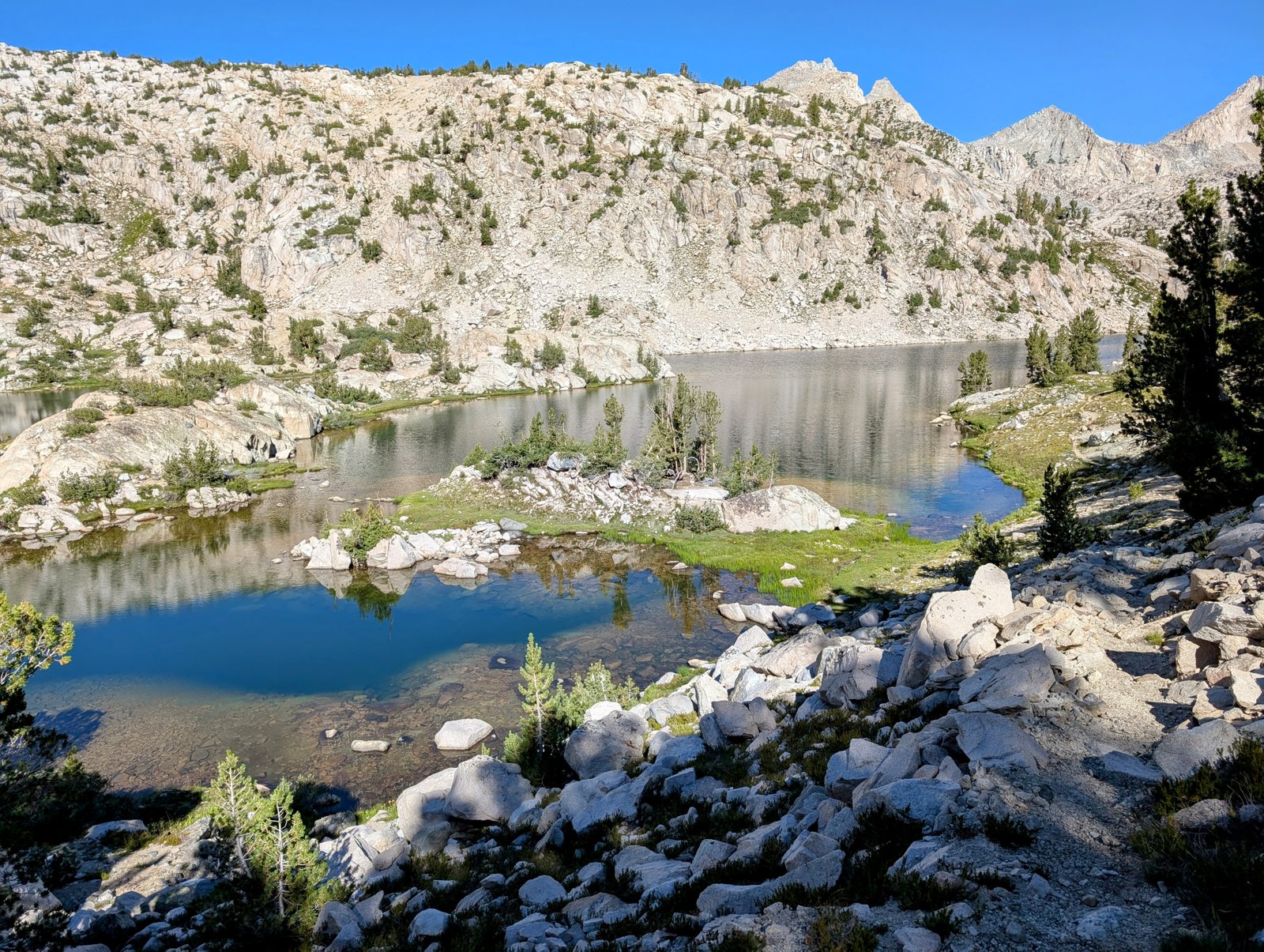
I made the mistake of descending to the upper Gardiner Lake. It was less steep, but it landed me in boulder-sized talus that sheltered millions of mosquitoes. No breaks for JimmyJam!


It was breezy, so I was hoping for a break at the lake. But the mosquitoes were relentless. I had to press my tired legs forward over humongous boulders.


I finally lost the boulder field (and the mosquitoes!) when I reached the point on the map that shows a trail. I took a very long break!

But there was no trail here. I quickly realized that I was on my own — I didn’t even find cairns around. Now that I was back on low-angle granite, the route was easy and lovely, but it always takes more effort to find one’s own way.

As I dropped below 10,000 feet the hiking got MUCH harder. The route drops into a narrow vegetation-choked canyon. Hot and buggy and overgrown. There was no trail.
I hated it.
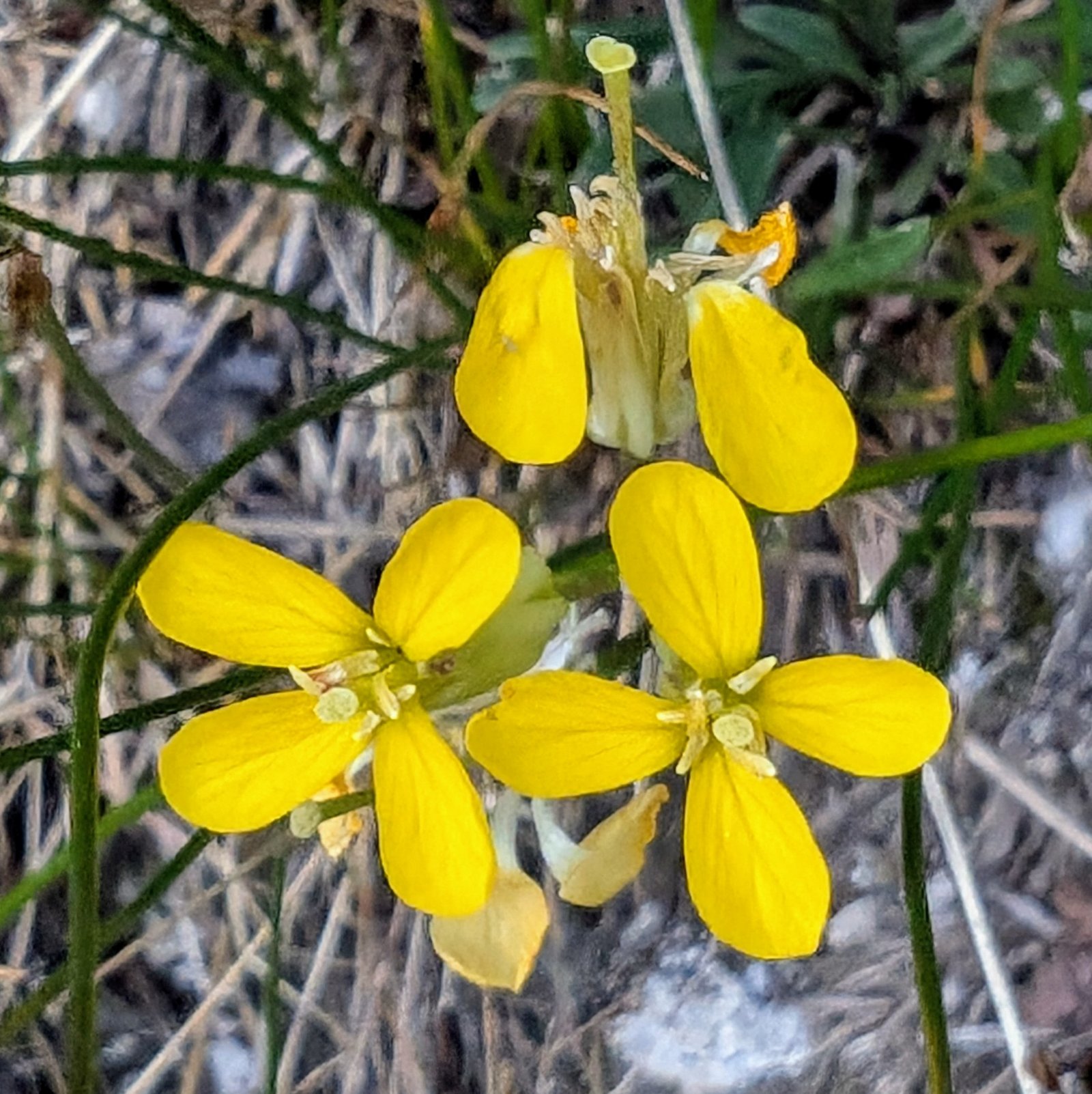
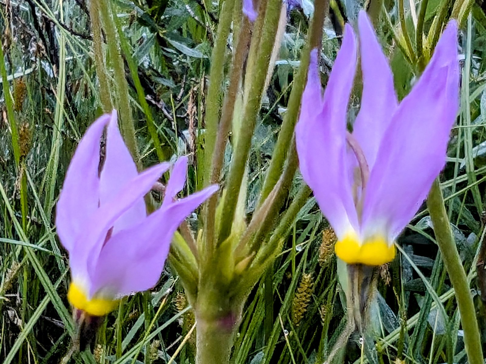
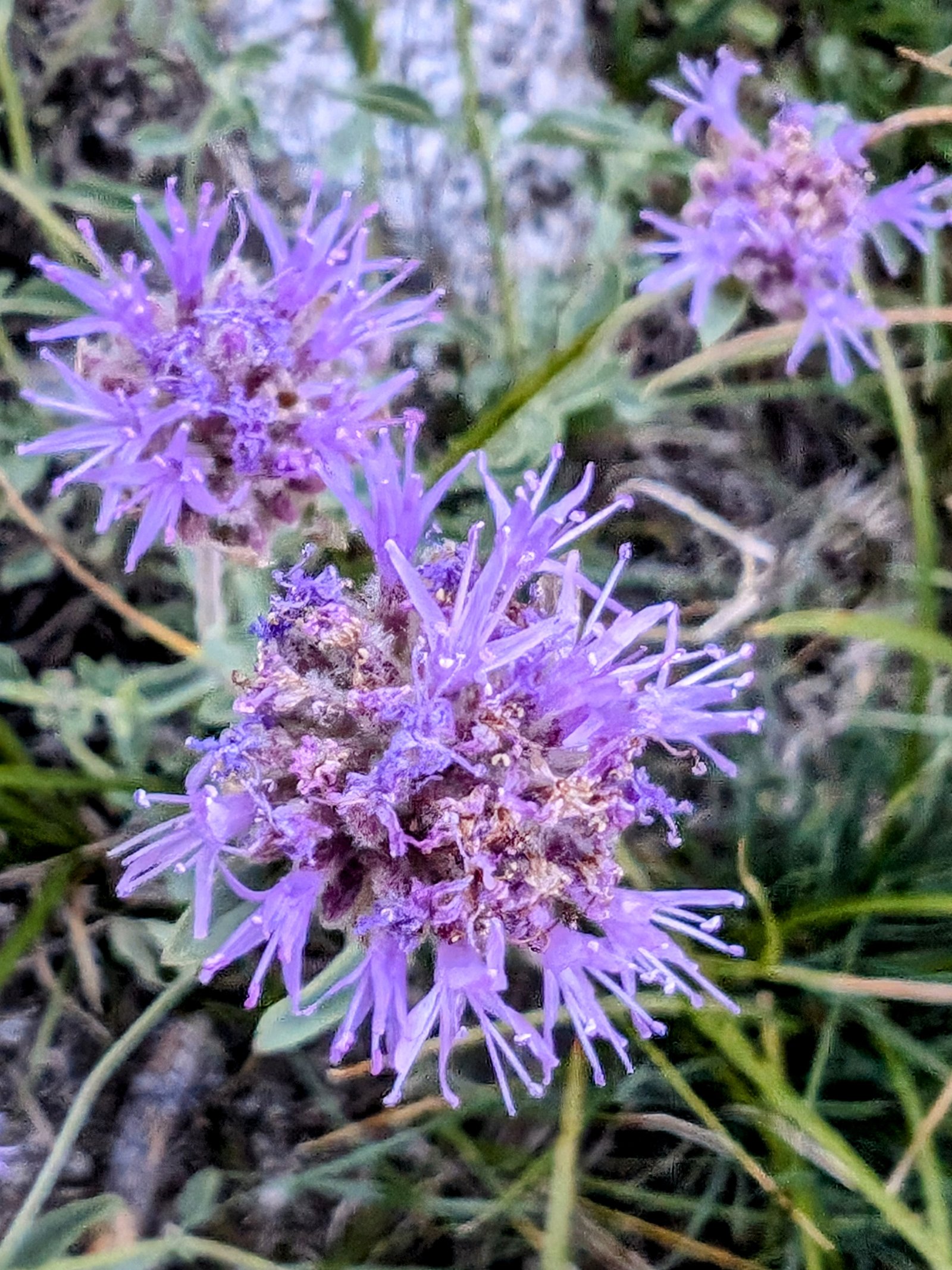
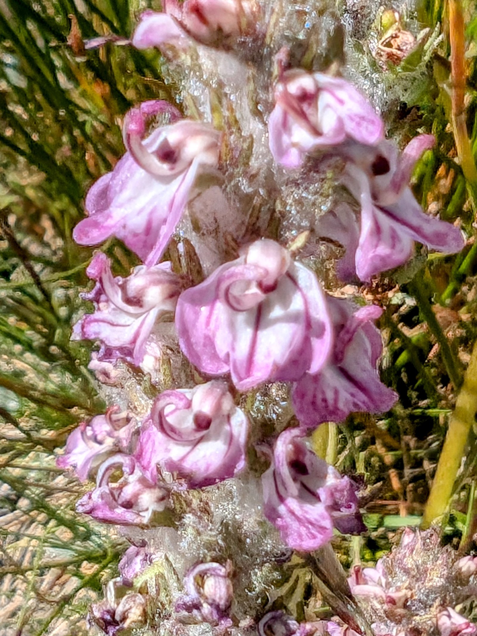
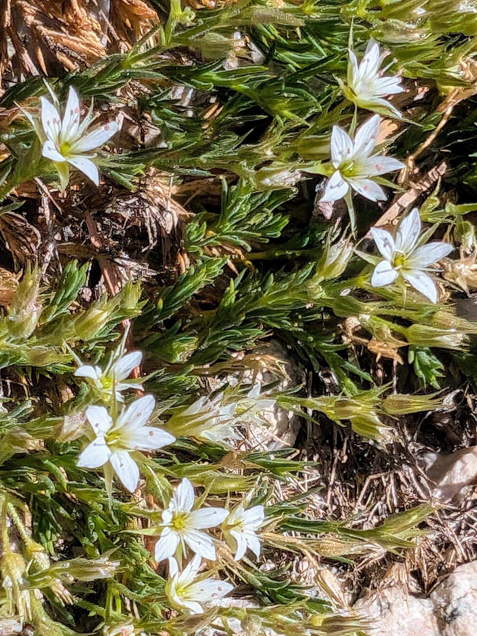
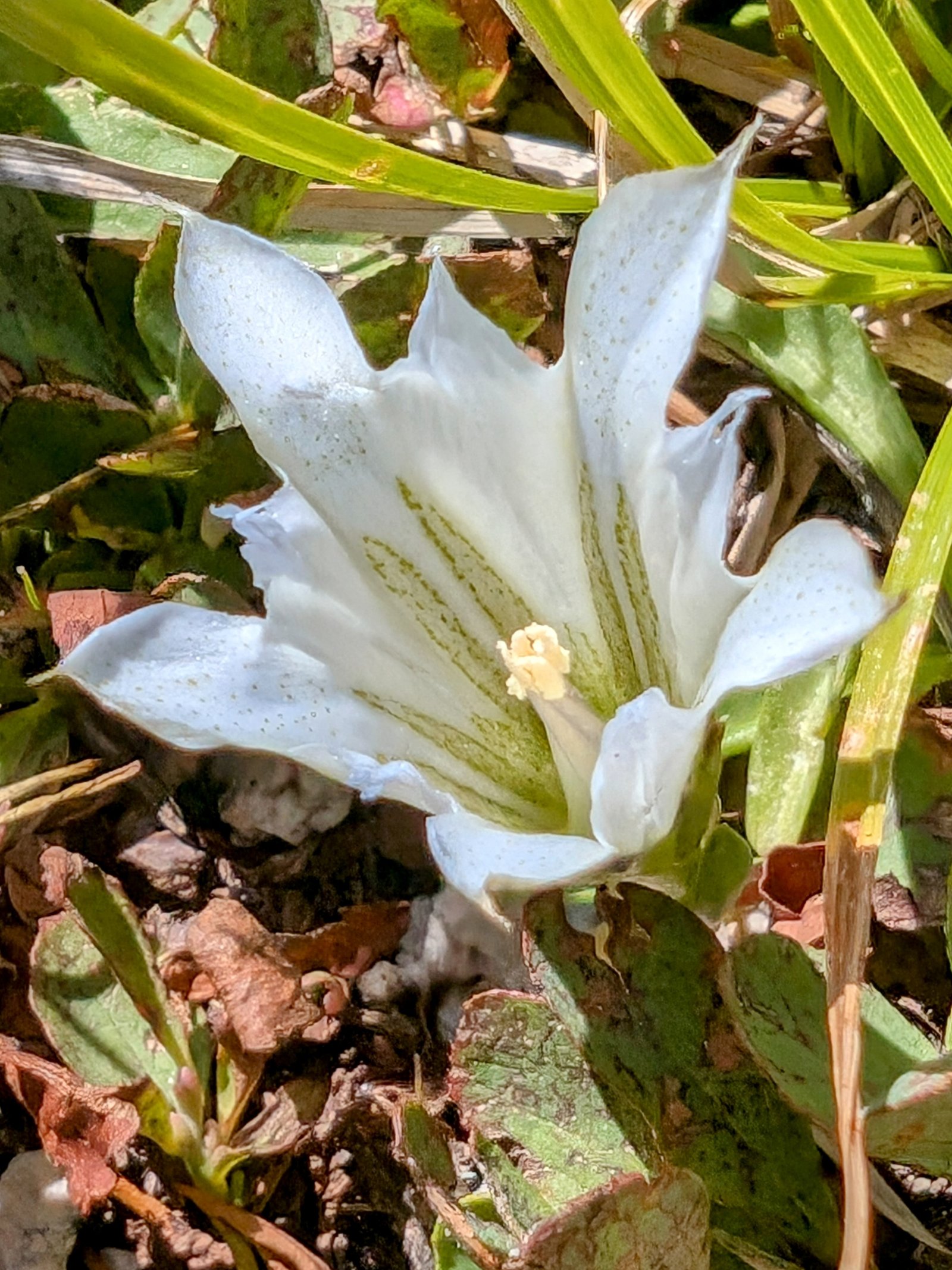
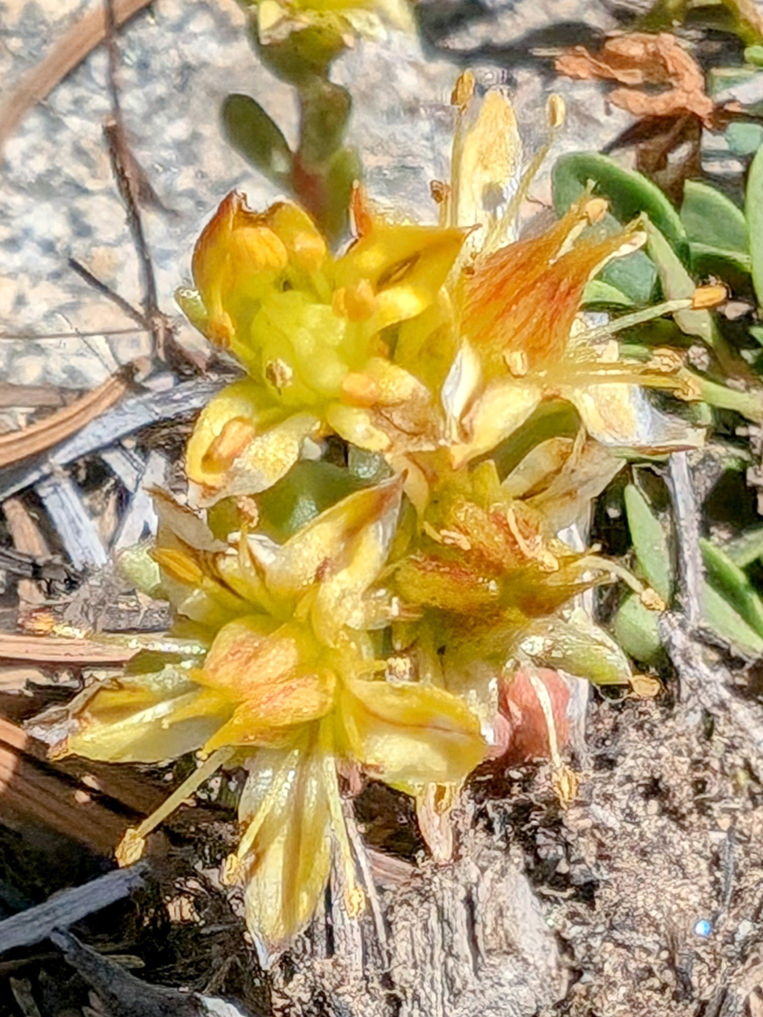
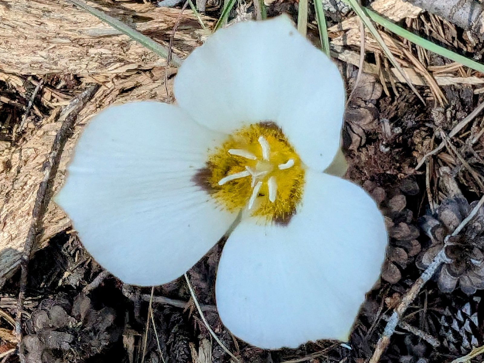
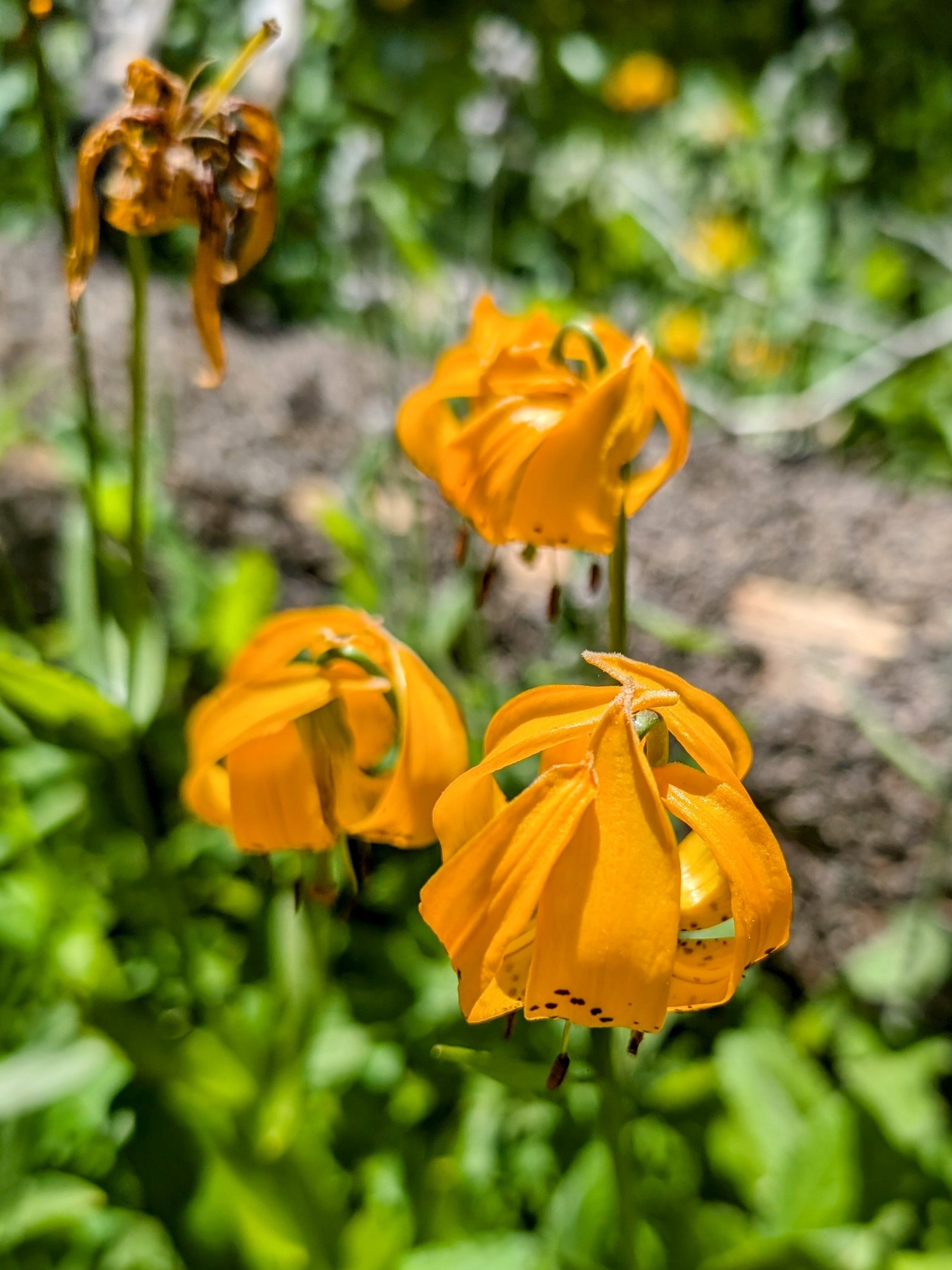
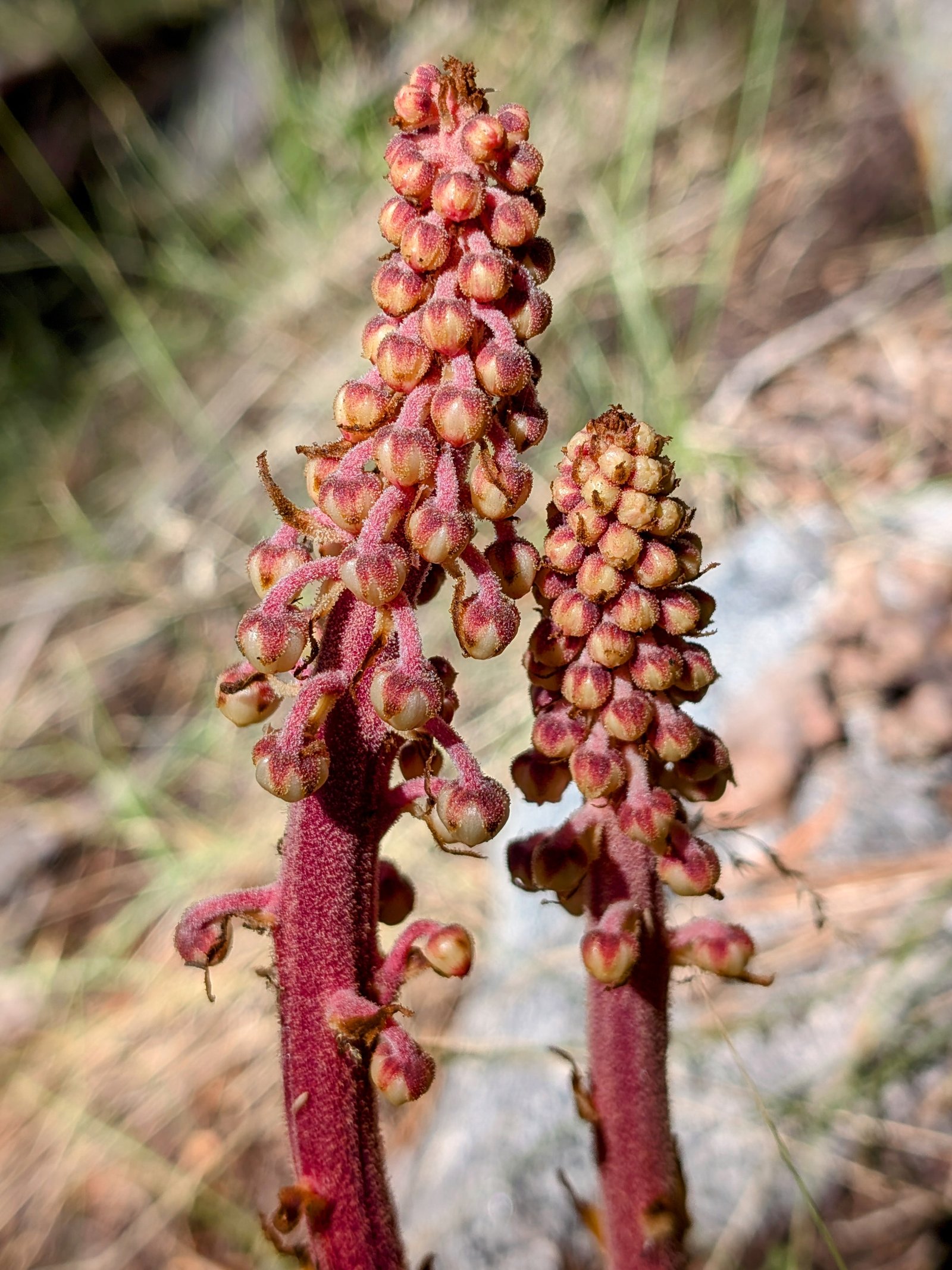
But the flowers in the weeds that surrounded and towered over me were nice!
At one point I was bushwhacking along a slippery slope that was so choked with vegetation that I couldn’t see where I was stepping. I occasionally yelled “yo bear!” to make sure I didn’t startle a mother napping with her cubs.

I was relieved when I emerged to see some cliffs I might be able to fight my way to in order to get a look at the way forward.
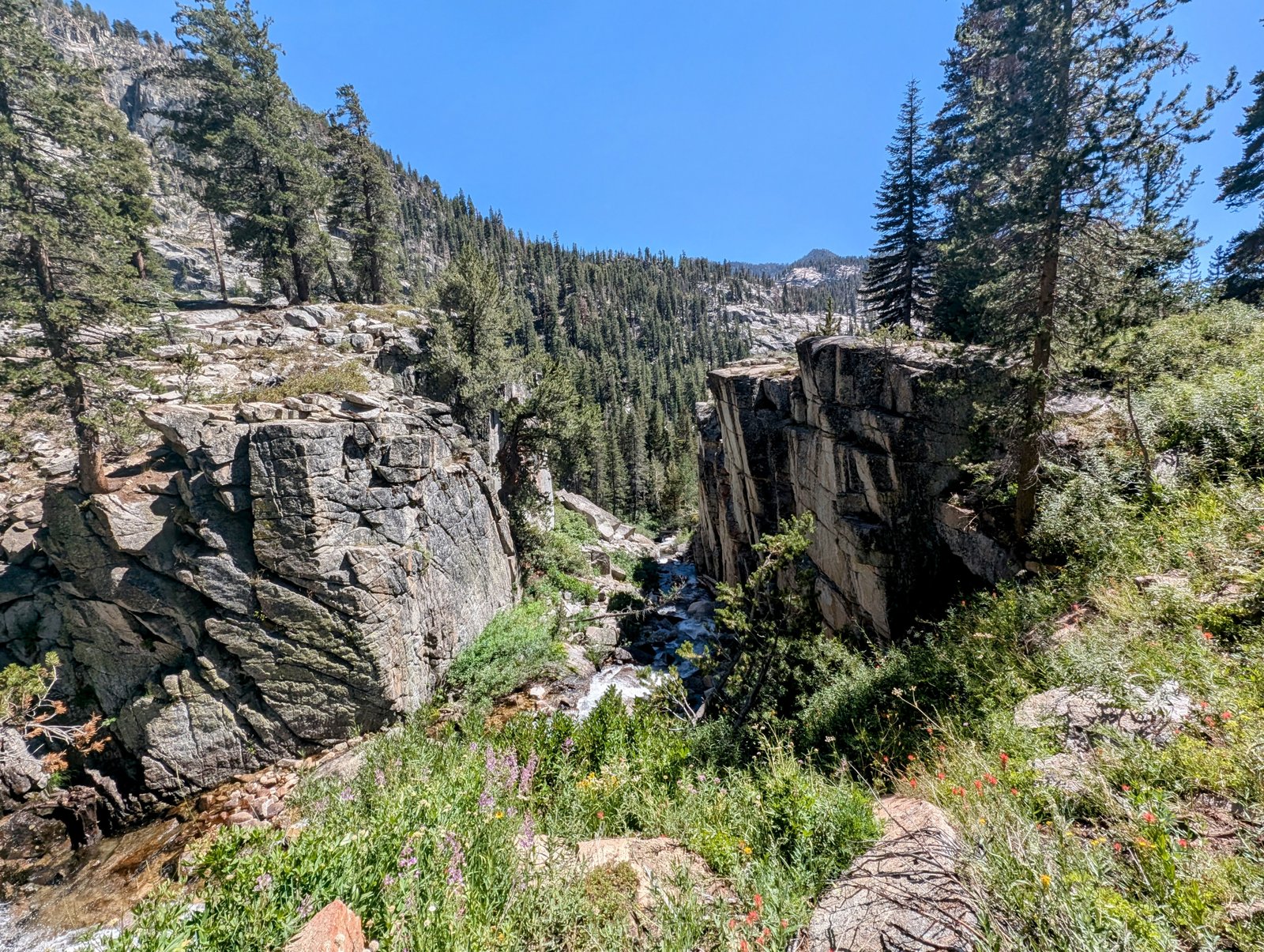
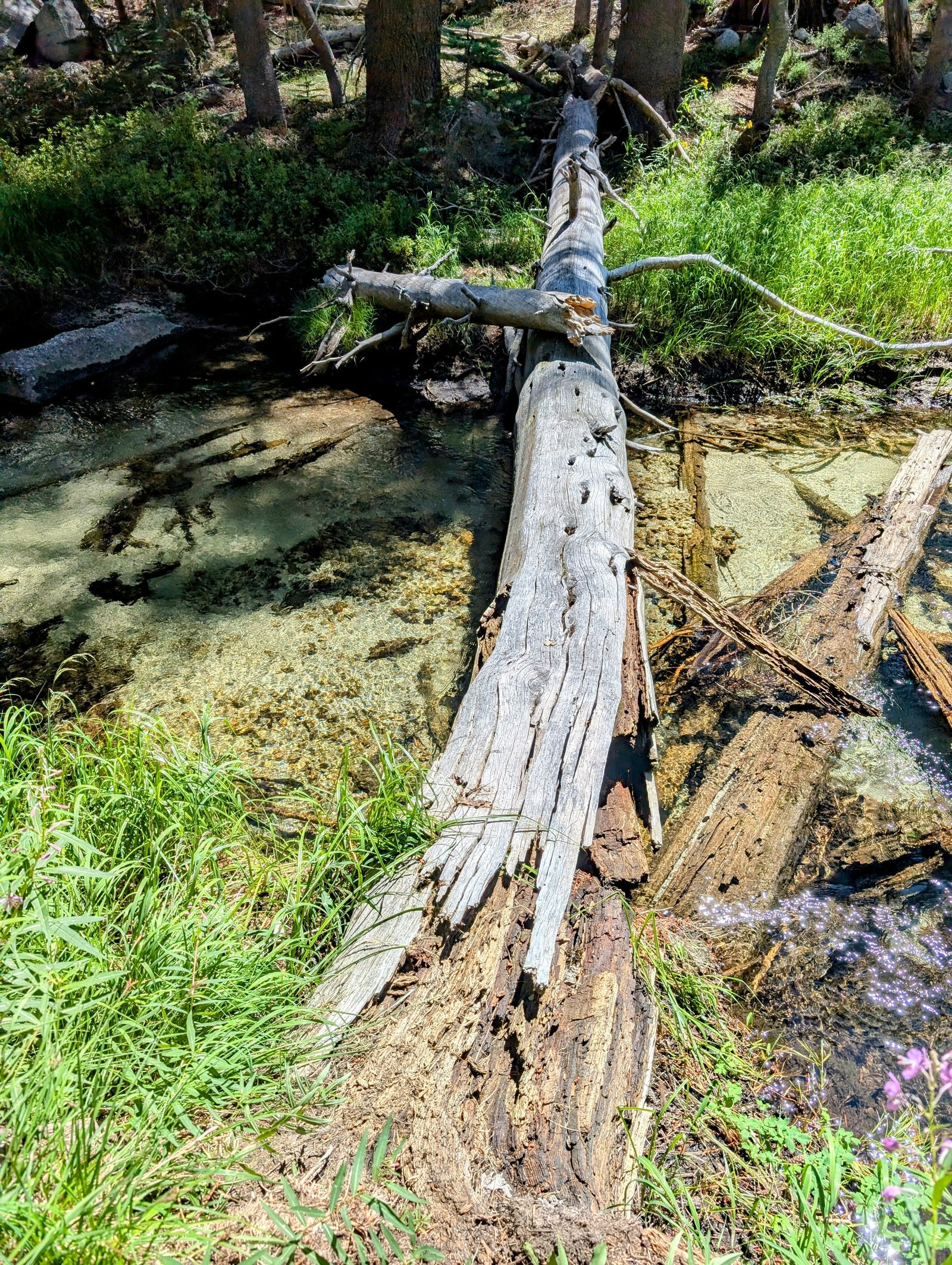
Above, I discovered that the route indicated to cross just below the cliffs. I slid down through the brush and finally found the stream crossing.
I sat beside the stream, completely spent. I was exhausted. And my back ached. I felt like I must have pulled a muscle, but I have been pushing things so hard yesterday and today I can’t pinpoint when it happened.
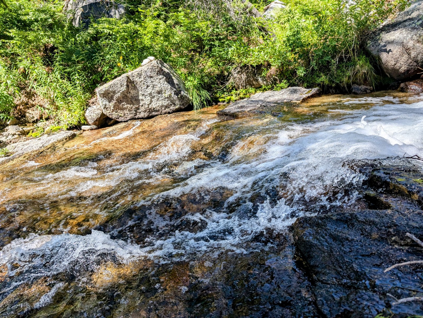
After filtering some water and gnoshing some food, I removed my shoes for the crossing. Fortunately it was flat granite that was a little slippery but easy enough to manage in bare feet.
On the other side of the stream there was a cairn perched in front of 6 foot high brush.
Sigh.
I fought my way up and emerged to find a very steep 100 foot wall of talus with a cairn at its base.
I followed it up.
Then magic happened. A cairn at the top of the wall showed the starting point of a trail!
Imagine that - a trail!
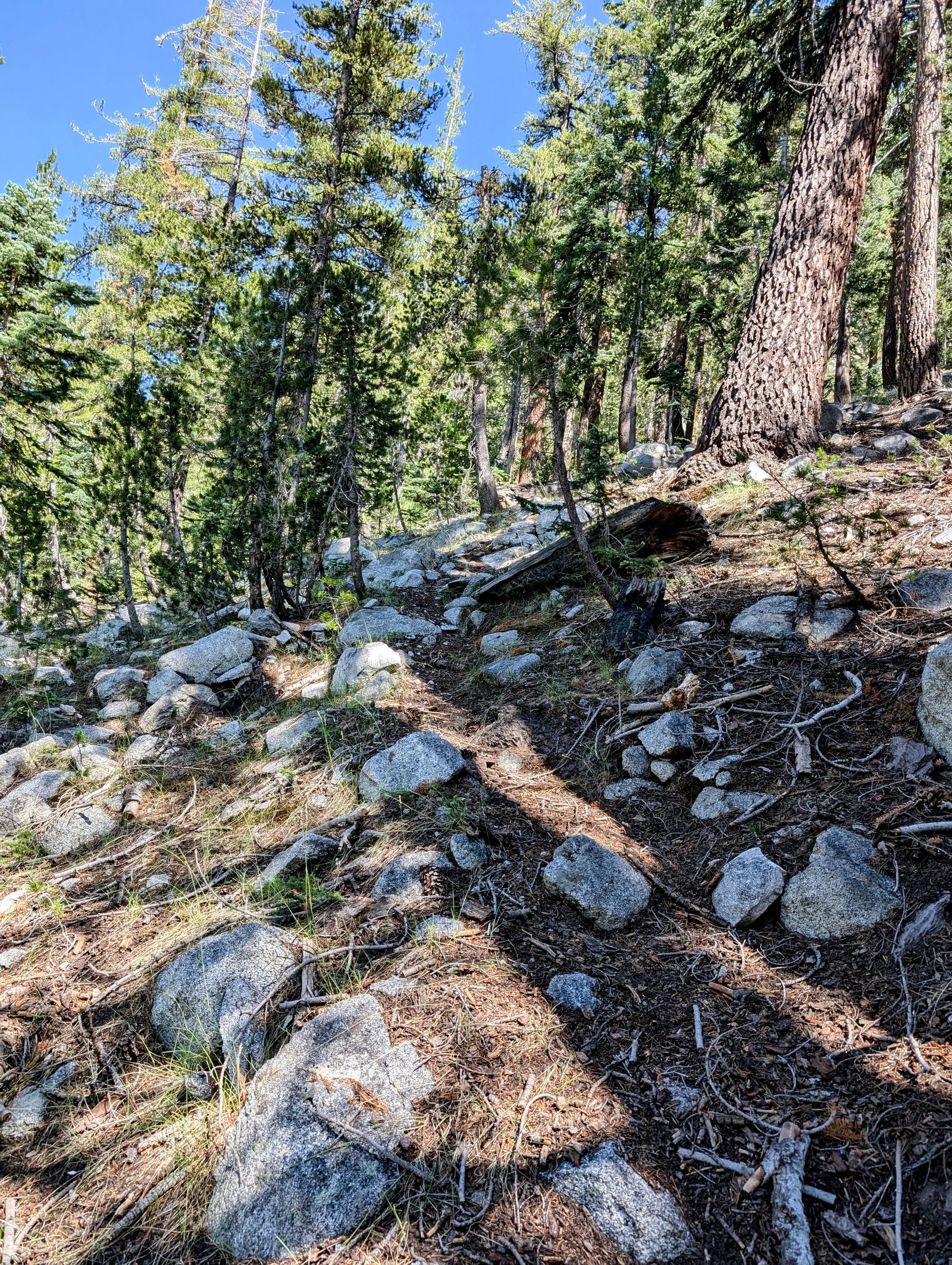
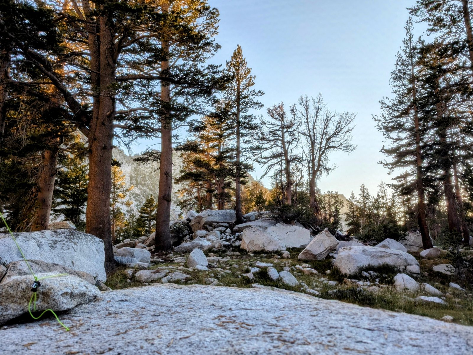
It was faint, but it effectively switchbacked up a steep forested slope covered in rocks and duff.
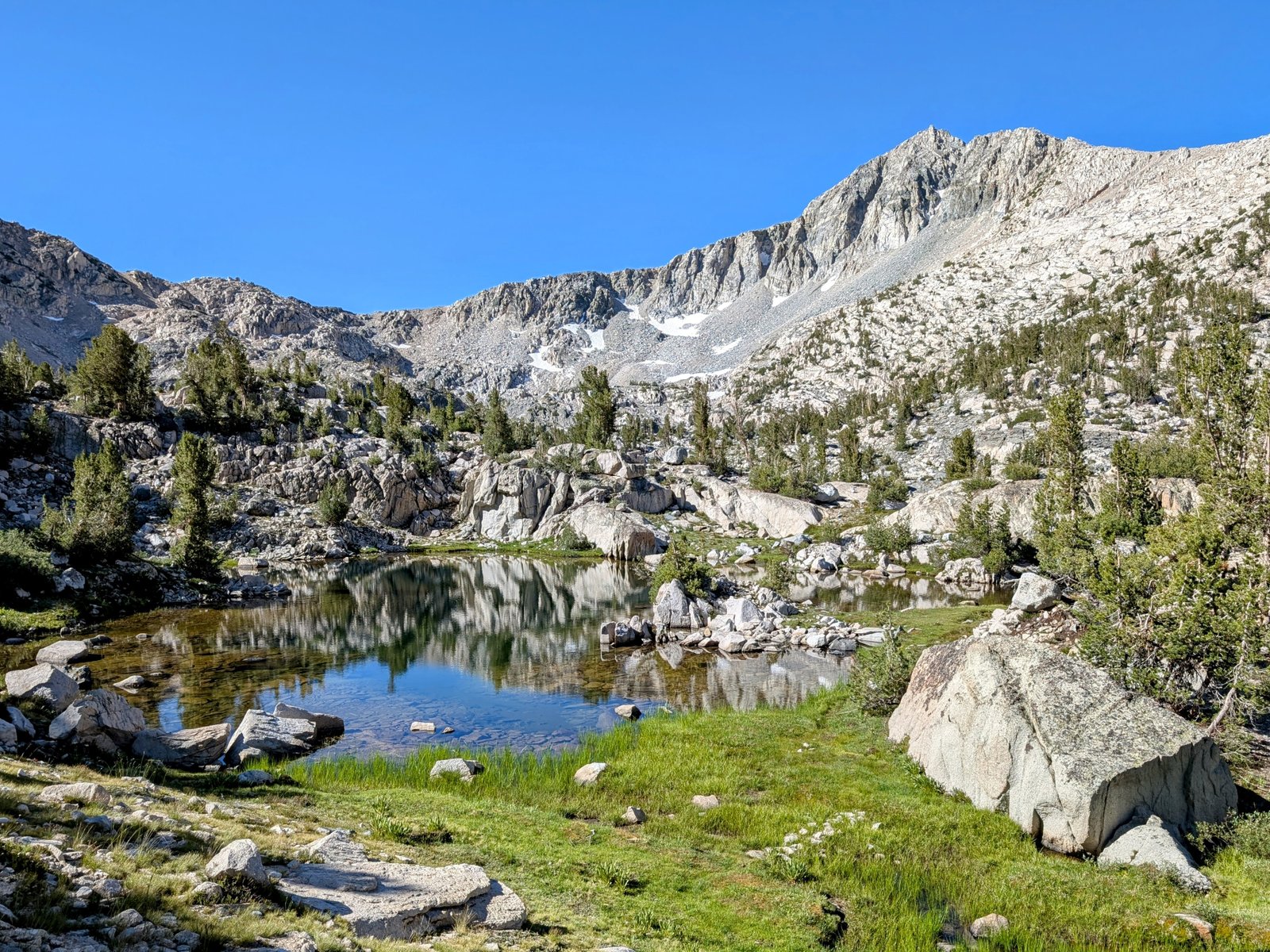
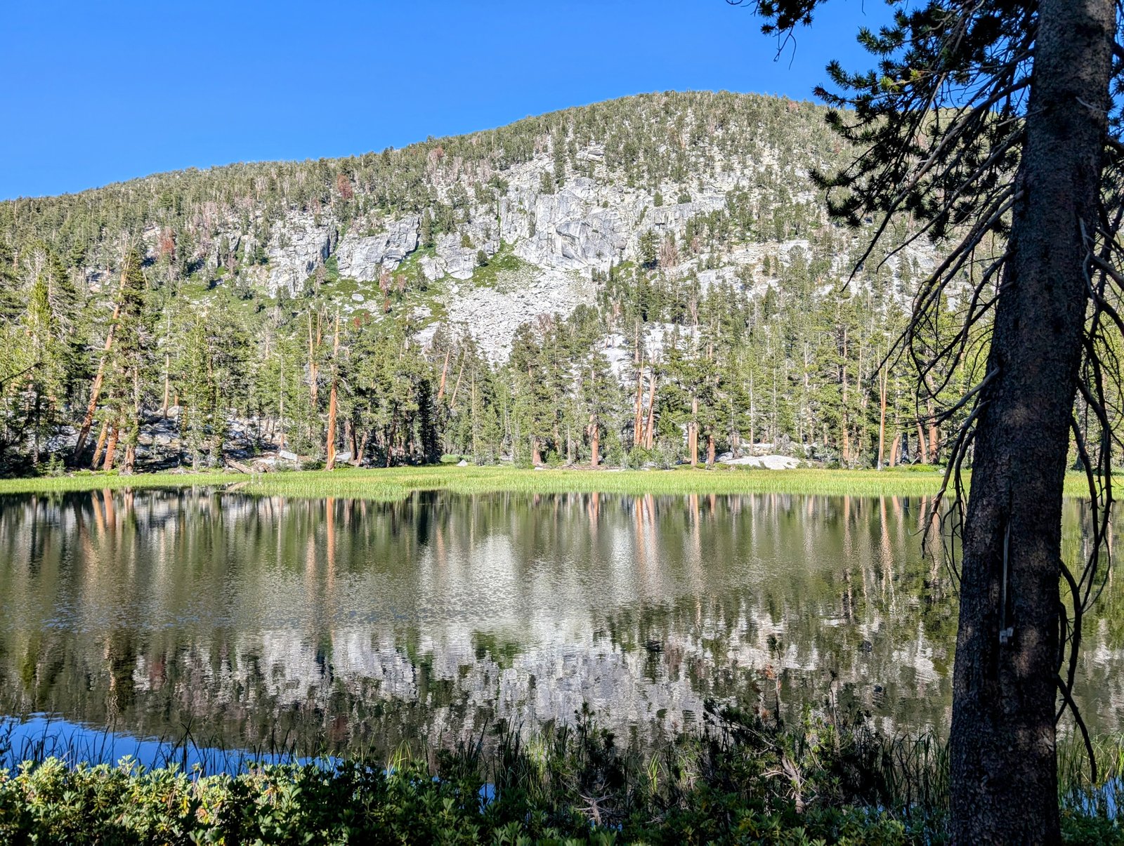
At the top of the climb the trail disappeared. But it was okay. I was back in easy terrain. I took a long break at Lake 9534.
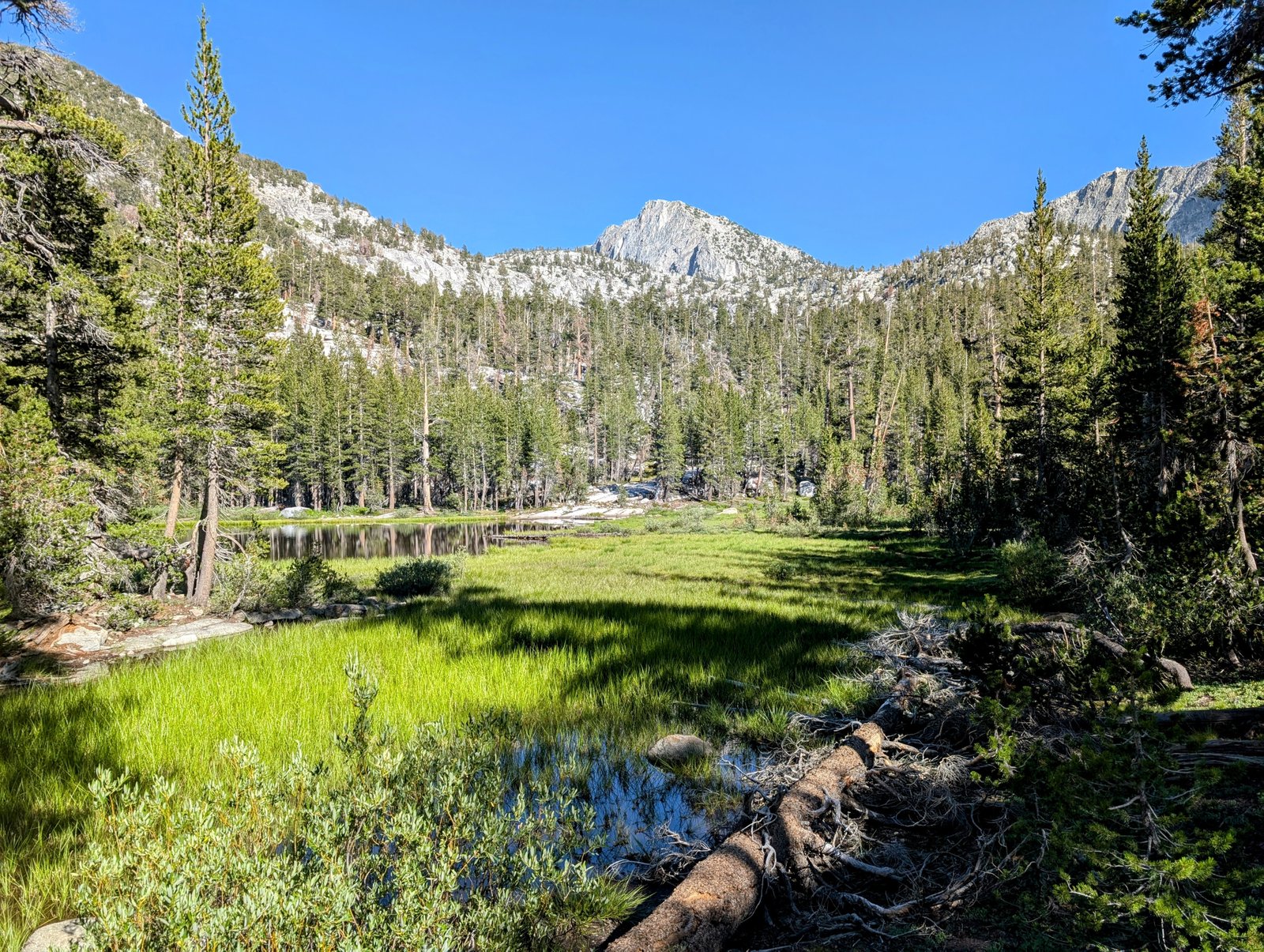
The way forward was swampy at first, but gradually it dried out and as I climbed back above tree line the hiking got much easier. I even found the occasional cairn!
Above Lake 9543 I encountered a family group searching for a campsite. They said “we didn’t expect to see anyone here!”
Me either!
We chatted briefly and they told me the lake right below Gardiner Pass had some great camping spots. So I pressed on.
I passed several small lakes that would have been okay. I felt despondent, though, because they were all pretty exposed.
With the last bit of gas in my tank I climbed up to the lake above 10,600 feet. Sure enough it was surrounded by a lovely forest and there were numerous perfect campsites.
I was so relieved to have a wonderful place to make a home.
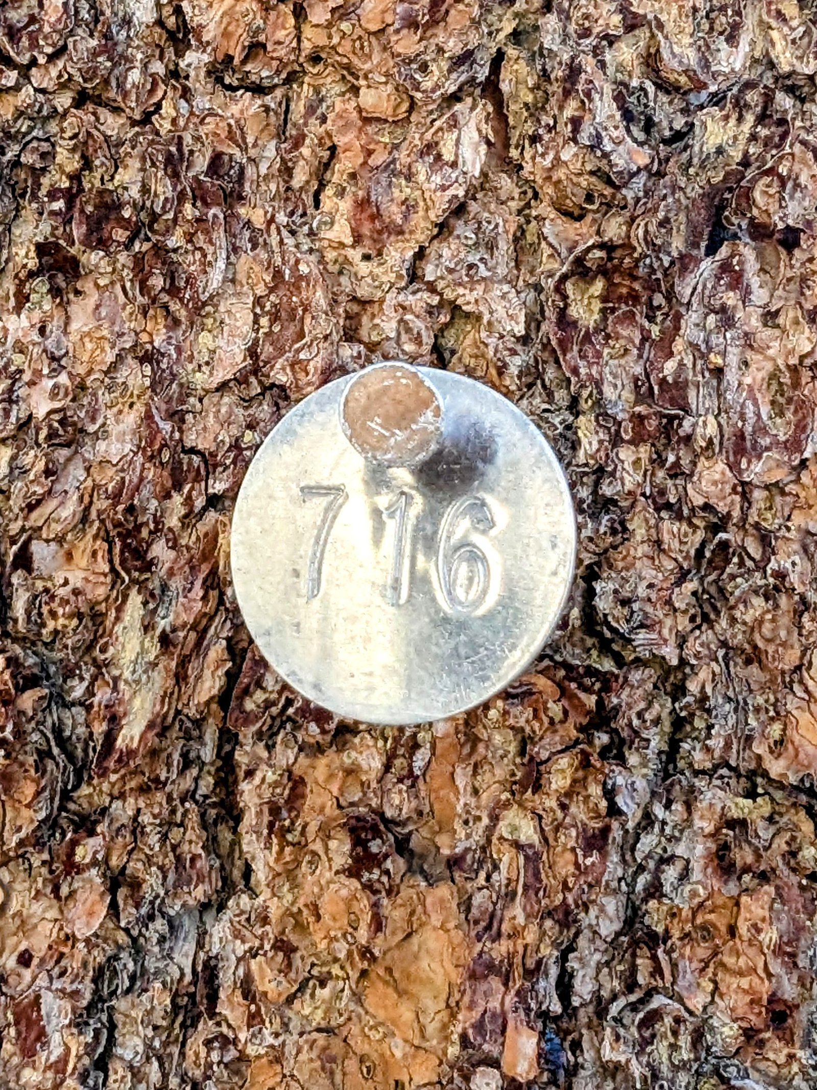
My campsite was even numbered!